Elevation of Damodar Kunda, Dhawalagiri, Surkhang, Nepal
Location: Nepal > Western Region > Dhawalagiri > Surkhang >
Longitude: 84.1662828
Latitude: 28.9760015
Elevation: 4976m / 16325feet
Barometric Pressure: 54KPa
Elevation Map:
Satellite Map:
Related Photos:

DSC_8589

DSC_8584

DSC_8553

DSC_8555

DSC_8557

DSC_8606

DSC_8554
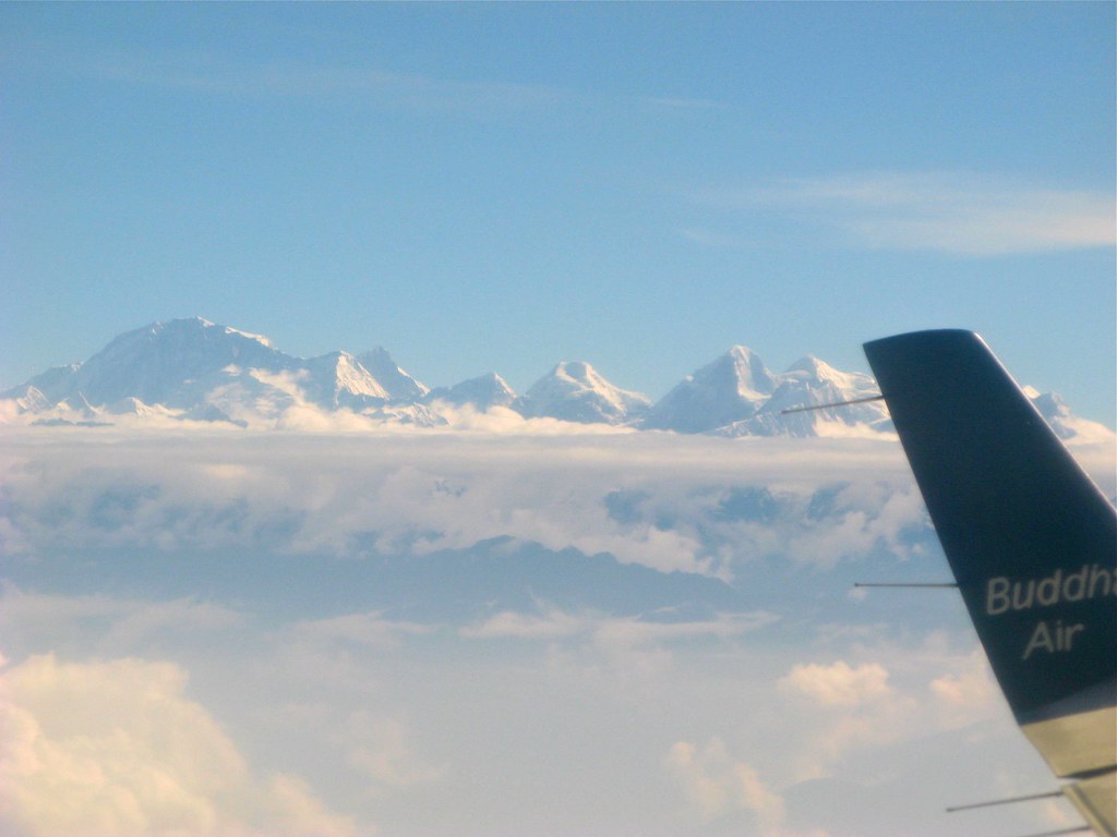
Mount Everest from Budha air
Topographic Map of Damodar Kunda, Dhawalagiri, Surkhang, Nepal
Find elevation by address:

Places near Damodar Kunda, Dhawalagiri, Surkhang, Nepal:
Surkhang
Lugula Himal
Dhe
Yara Gaun
Fu
Chhoser
Nar
Tsarang
Chulu East
Thorung High Camp
Thorong Phedi Base Camp Lodge
Thorung Phedi
Thorong Phedi - Thorong La Road
Tanki Manang
Thorong La
Lo Manthang Village
Monastic Quarter
Naar
Nar
Ngawal
Recent Searches:
- Elevation of 24 Oakland Rd #, Scotland, ON N0E 1R0, Canada
- Elevation of Deep Gap Farm Rd E, Mill Spring, NC, USA
- Elevation of Dog Leg Dr, Minden, NV, USA
- Elevation of Dog Leg Dr, Minden, NV, USA
- Elevation of Kambingan Sa Pansol Atbp., Purok 7 Pansol, Candaba, Pampanga, Philippines
- Elevation of Pinewood Dr, New Bern, NC, USA
- Elevation of Mountain View, CA, USA
- Elevation of Foligno, Province of Perugia, Italy
- Elevation of Blauwestad, Netherlands
- Elevation of Bella Terra Blvd, Estero, FL, USA