Elevation of Dallas Guidry Rd, Gueydan, LA, USA
Location: United States > Louisiana > Vermilion Parish > >
Longitude: -92.497357
Latitude: 30.0396071
Elevation: 2m / 7feet
Barometric Pressure: 101KPa
Elevation Map:
Satellite Map:
Related Photos:
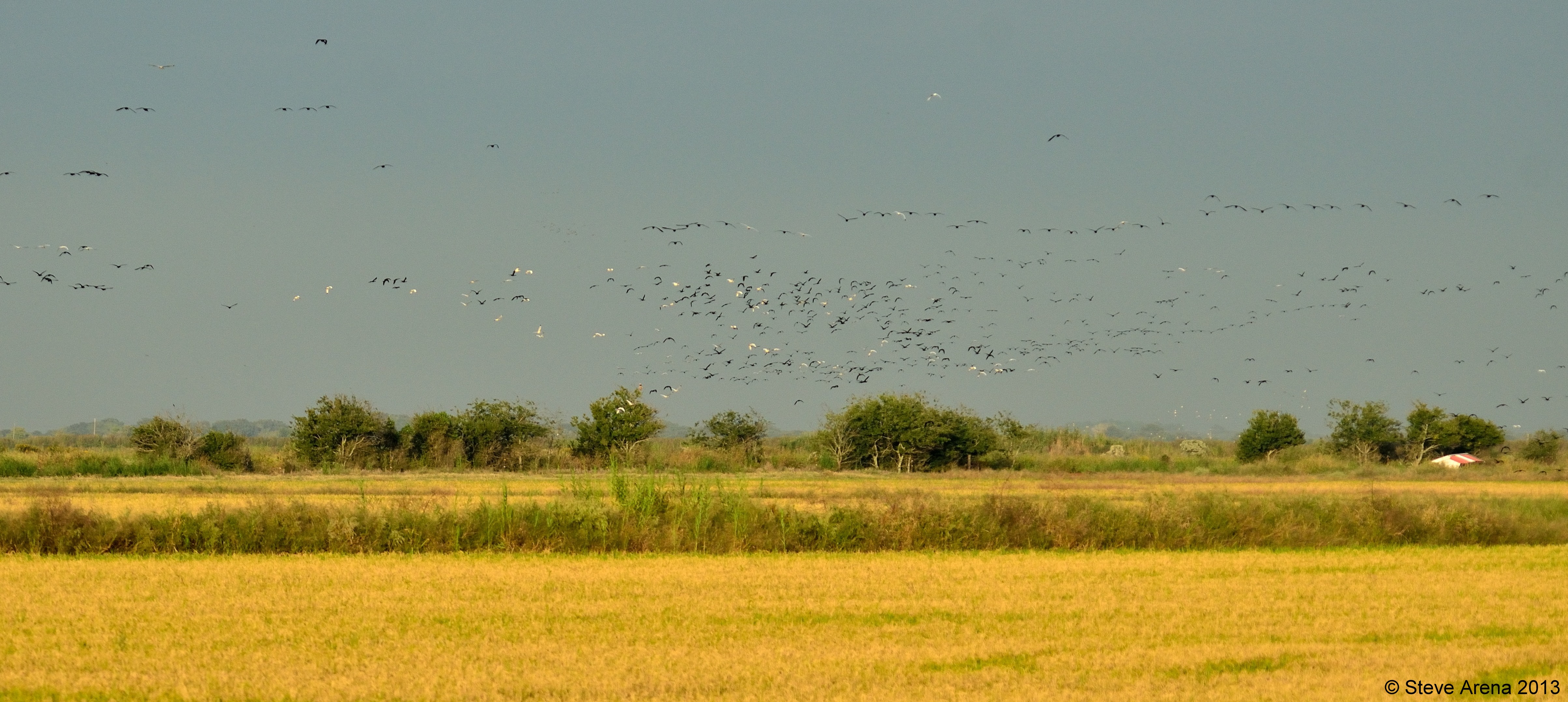
Massive GLIB, WFIB, and WHIB flight at dusk
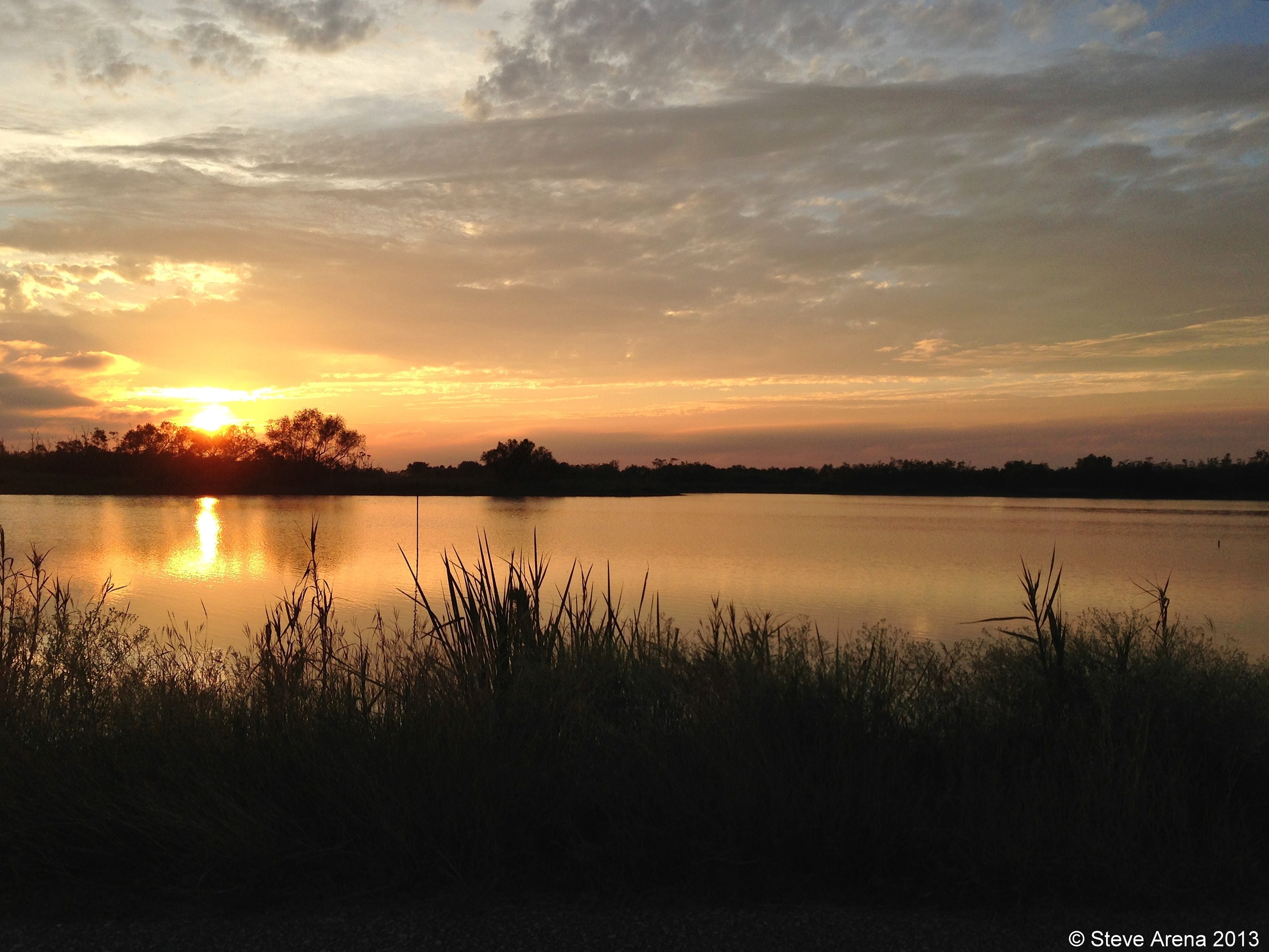
White Lake Conservation Area - Sunset

Gueydan, Louisiana City Hall

Gueydan, Louisiana City Hall

Federal Building and Post Office 70542 (Gueydan, Louisiana)
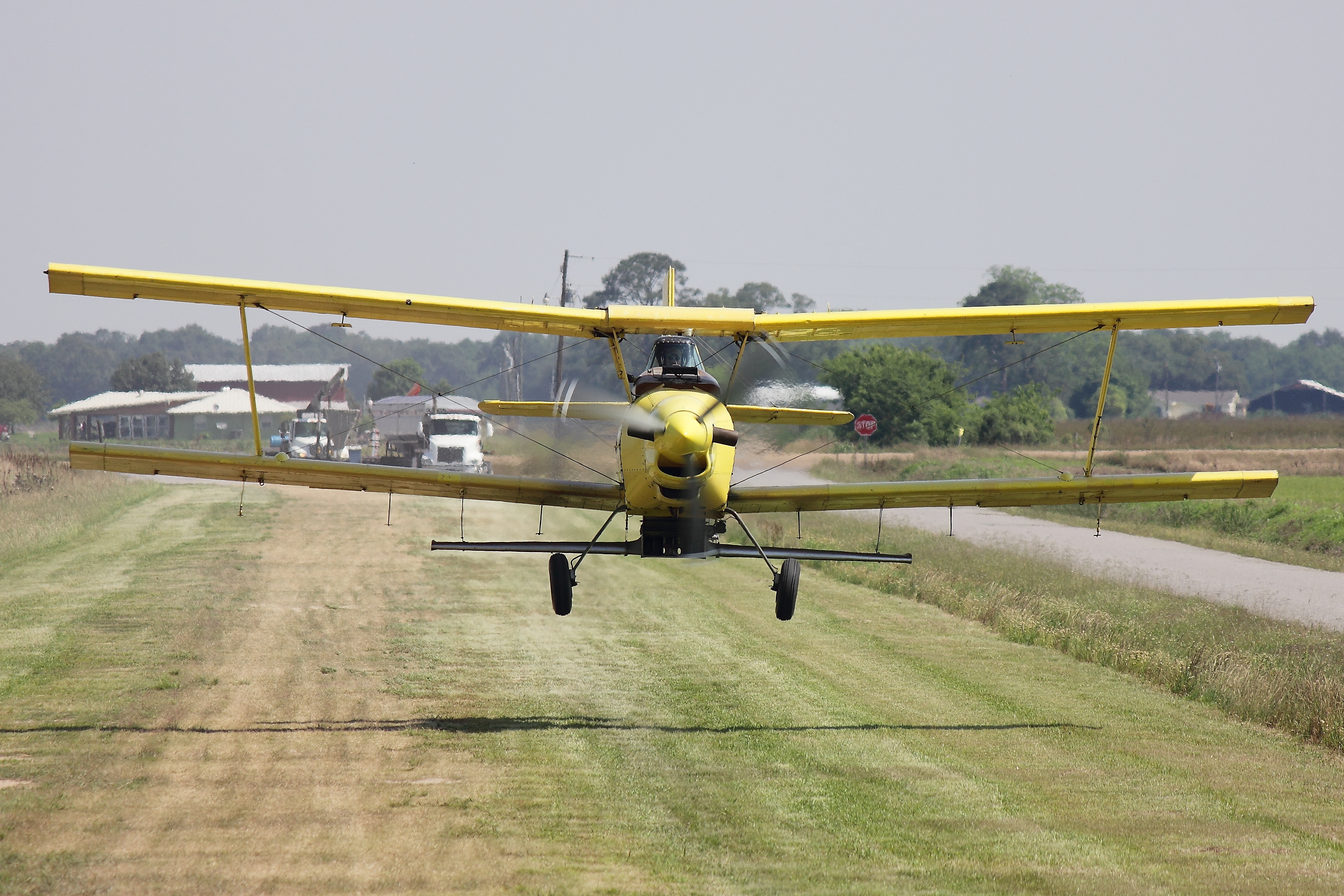
Ag Cat
IMG_2592-2

IMG_2771-2
Topographic Map of Dallas Guidry Rd, Gueydan, LA, USA
Find elevation by address:

Places near Dallas Guidry Rd, Gueydan, LA, USA:
8137 Dallas Guidry Rd
1209 Levert St
1101 Levert St
515 Henri Gueydan St
1006 Levert St
911 8th St
600 11th St
515 Dallas Guidry Rd
1003 Daspit St
1003 Daspit St
801 7th St
1406 3rd St
711 7th St
802 6th St
713 Daspit St
1333 Garland St
Henri Gueydan Street
1201 3rd St
308 10th St
111 Walker St
Recent Searches:
- Elevation of Paradisvegen, Biri, Norway
- Elevation of Crystal Cir, Birmingham, AL, USA
- Elevation of N Railroad Ave, West Palm Beach, FL, USA
- Elevation of 55 Cassick Valley Rd, Wellfleet, MA, USA
- Elevation of Ironwood Dr, Minden, NV, USA
- Elevation of 高尾山口駅, Takaomachi, Hachioji, Tokyo -, Japan
- Elevation of 15 Victory Ave, Greenville, SC, USA
- Elevation of Kota Ternate Utara, Ternate City, North Maluku, Indonesia
- Elevation of Allon St, Oceanside, NY, USA
- Elevation of Carroll Creek Rd, Custer, SD, USA