Elevation of Crow Lake Rd, Tichborne, ON K0H 2V0, Canada
Location: Canada > Ontario > Frontenac County > Tichborne >
Longitude: -76.614844
Latitude: 44.7298591
Elevation: 169m / 554feet
Barometric Pressure: 99KPa
Elevation Map:
Satellite Map:
Related Photos:

Reflections of autumn

Golden on Silver

Farewell to Silver Lake

No Left Turn

View Over the Lake

Memories of the Fall

Abandoned...

South Sherbrooke Fire Department Unit 109 1996 Ford E-450 Demers Ambulance light rescue rear view Maberly, Ontario Canada 07092009 ©Ian A. McCord

Ruins of an old mill at Parham Ontario

Ruins of an old mill at Parham Ontario

DSCN3201 K&P Rail Trail passing under Hwy 7

DSCN3189 Central Frontenac Trailway

Martha enjoying the view

View along Highway 7

Explorers and general view

7:50
Hi there, buddy!

Storm front panorama : Autostitch
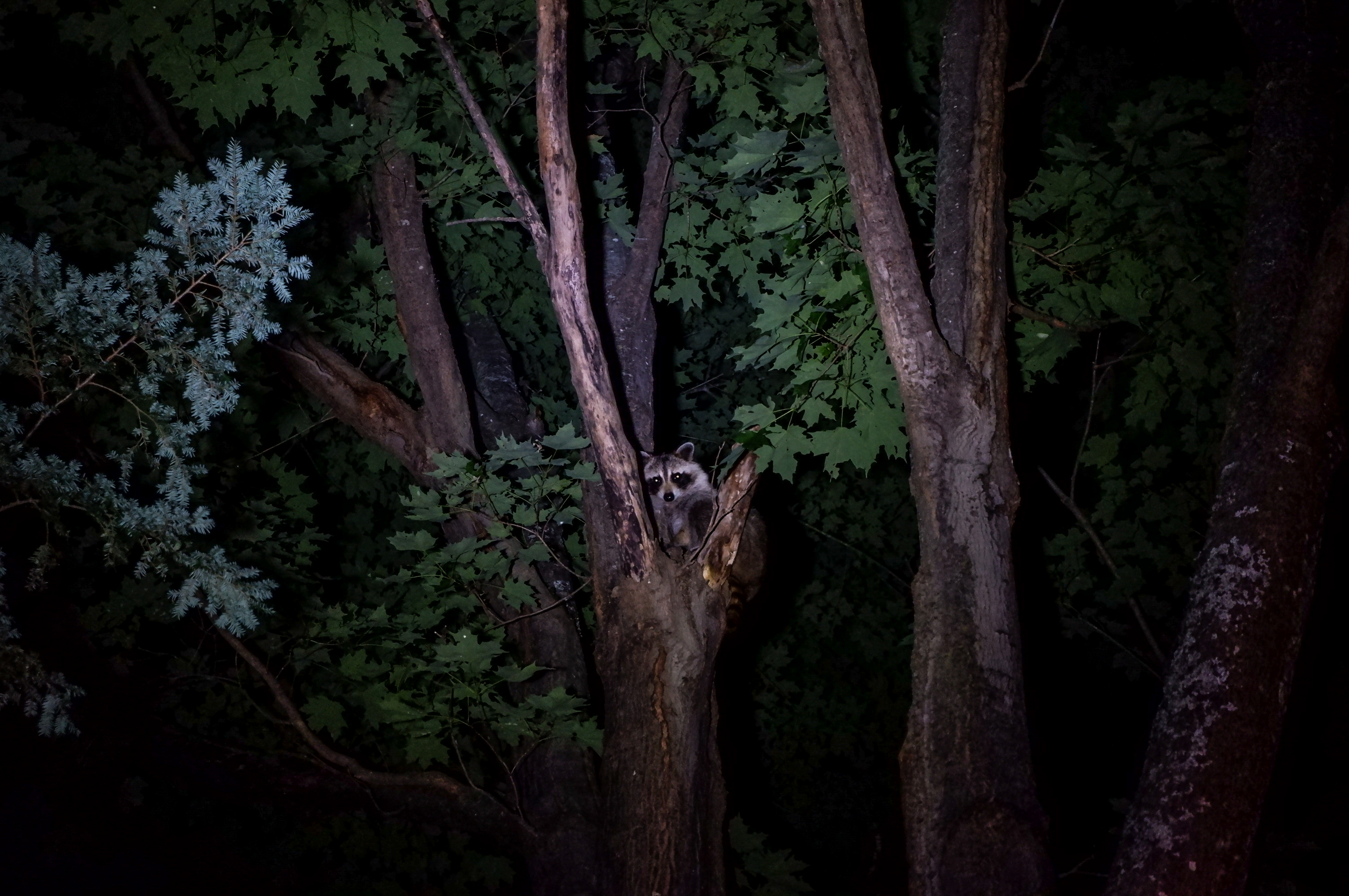
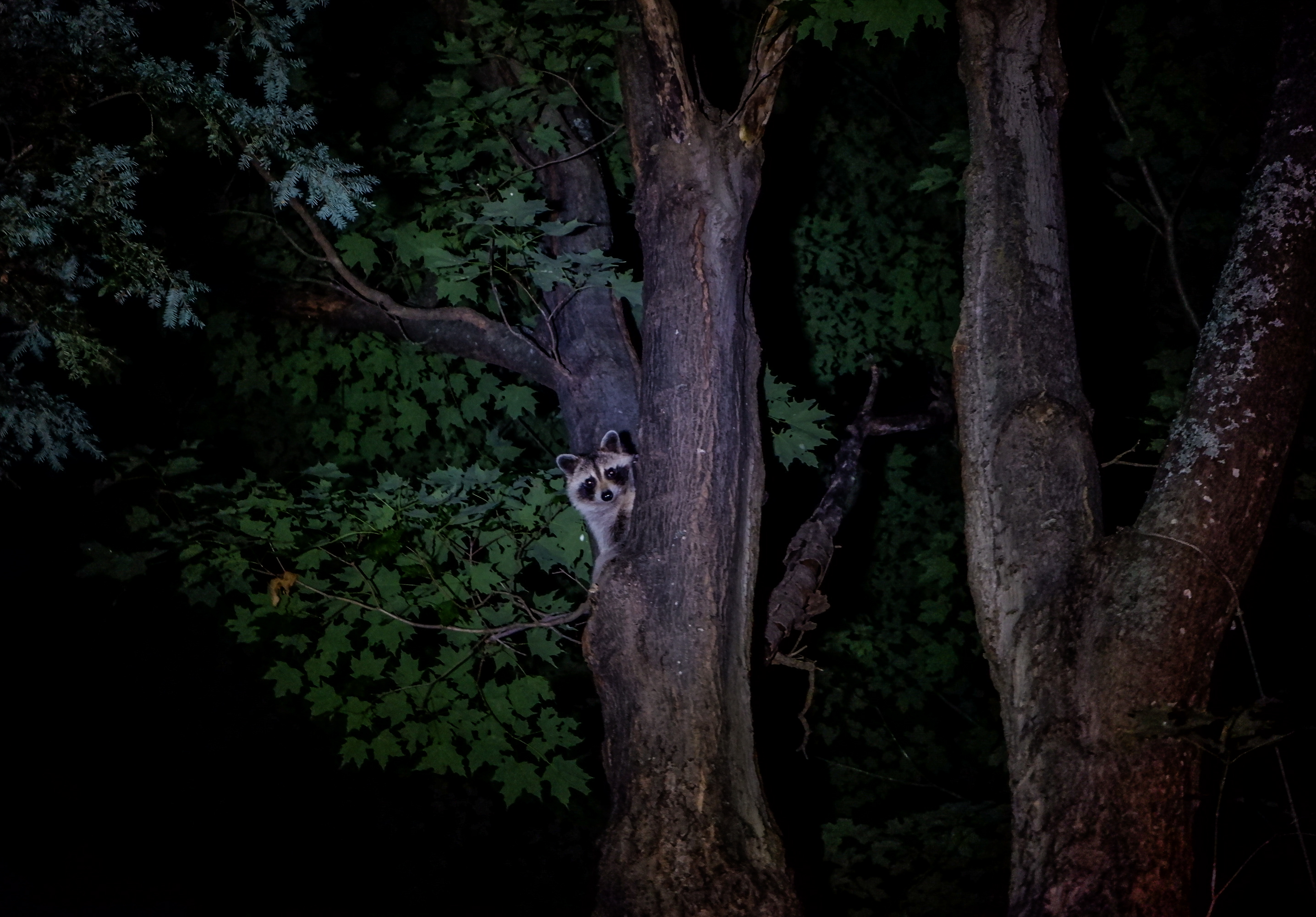
Noctural Adventure in the Trees

Silver Lake

Full moon over Althorpe Road, Lanark County

Silver Lake Provincial Park, ON

8:28
01 - In Confidence

first snow

A Cloudy Summer Day

Night at the Cottage

Eagle lake

St George's Lake

Bolton Creek & Bog

Silver Lake
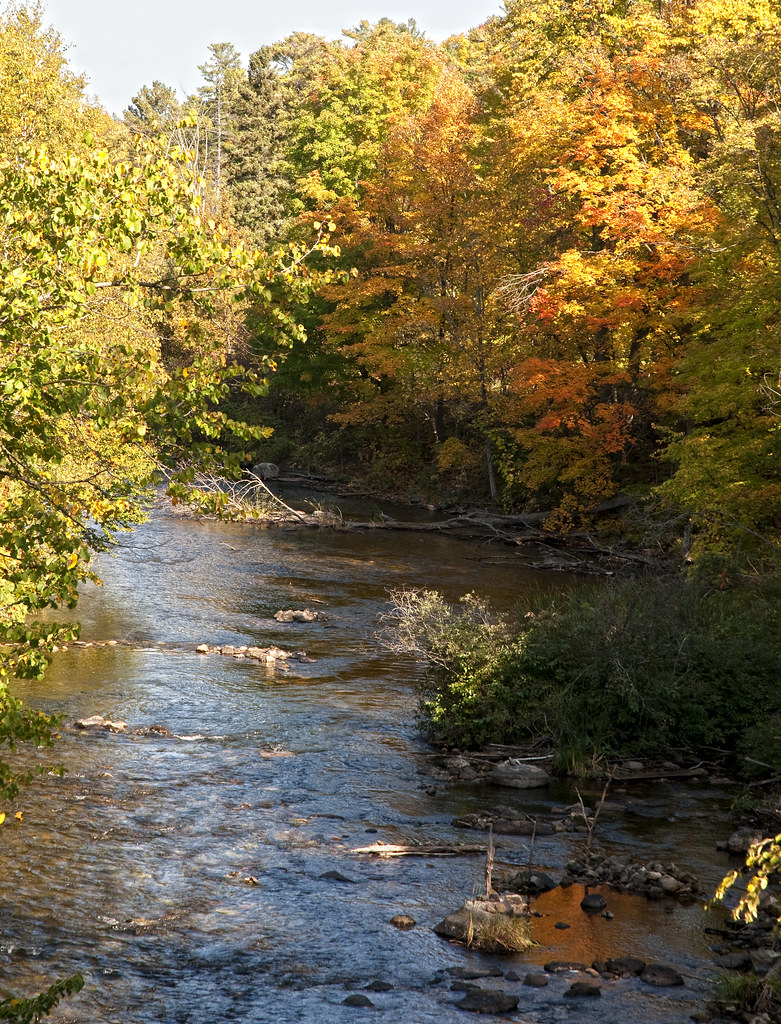
Tay River at Bolingbroke
Topographic Map of Crow Lake Rd, Tichborne, ON K0H 2V0, Canada
Find elevation by address:

Places near Crow Lake Rd, Tichborne, ON K0H 2V0, Canada:
7 Island Dr
Mill Bay Lane
Mill Bay Lane
Mill Bay Lane
Bradshaw 3 Road
Bradshaw 3 Road
13365 Road 38
Sharbot Lake
Acorn Lane
Tichborne
K0h 2b0
136 County Rd 36
Crawford Lane
1141 Buck Bay Rd
Eagle Lake Road
Parham
471 Silvery Ln
Maberly
Westport Rd & Sperling Ln
1126 Heron Ln
Recent Searches:
- Elevation of Elwyn Dr, Roanoke Rapids, NC, USA
- Elevation of Congressional Dr, Stevensville, MD, USA
- Elevation of Bellview Rd, McLean, VA, USA
- Elevation of Stage Island Rd, Chatham, MA, USA
- Elevation of Shibuya Scramble Crossing, 21 Udagawacho, Shibuya City, Tokyo -, Japan
- Elevation of Jadagoniai, Kaunas District Municipality, Lithuania
- Elevation of Pagonija rock, Kranto 7-oji g. 8"N, Kaunas, Lithuania
- Elevation of Co Rd 87, Jamestown, CO, USA
- Elevation of Tenjo, Cundinamarca, Colombia
- Elevation of Côte-des-Neiges, Montreal, QC H4A 3J6, Canada