Elevation of Maberly, ON K0G, Canada
Location: Canada > Ontario > Lanark County > Tay Valley >
Longitude: -76.541353
Latitude: 44.836685
Elevation: 180m / 591feet
Barometric Pressure: 99KPa
Elevation Map:
Satellite Map:
Related Photos:
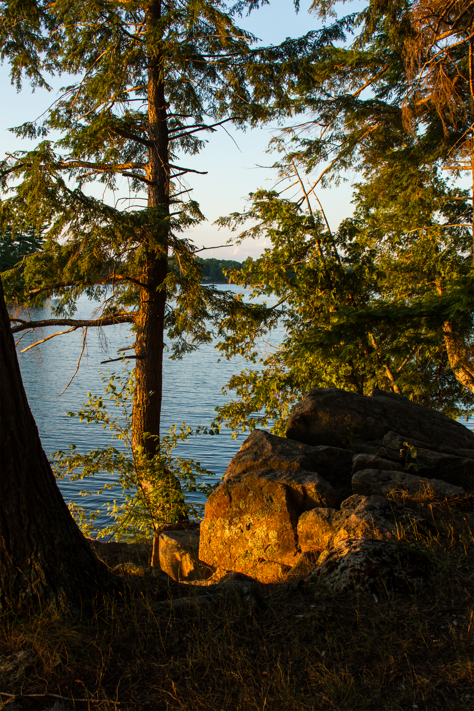
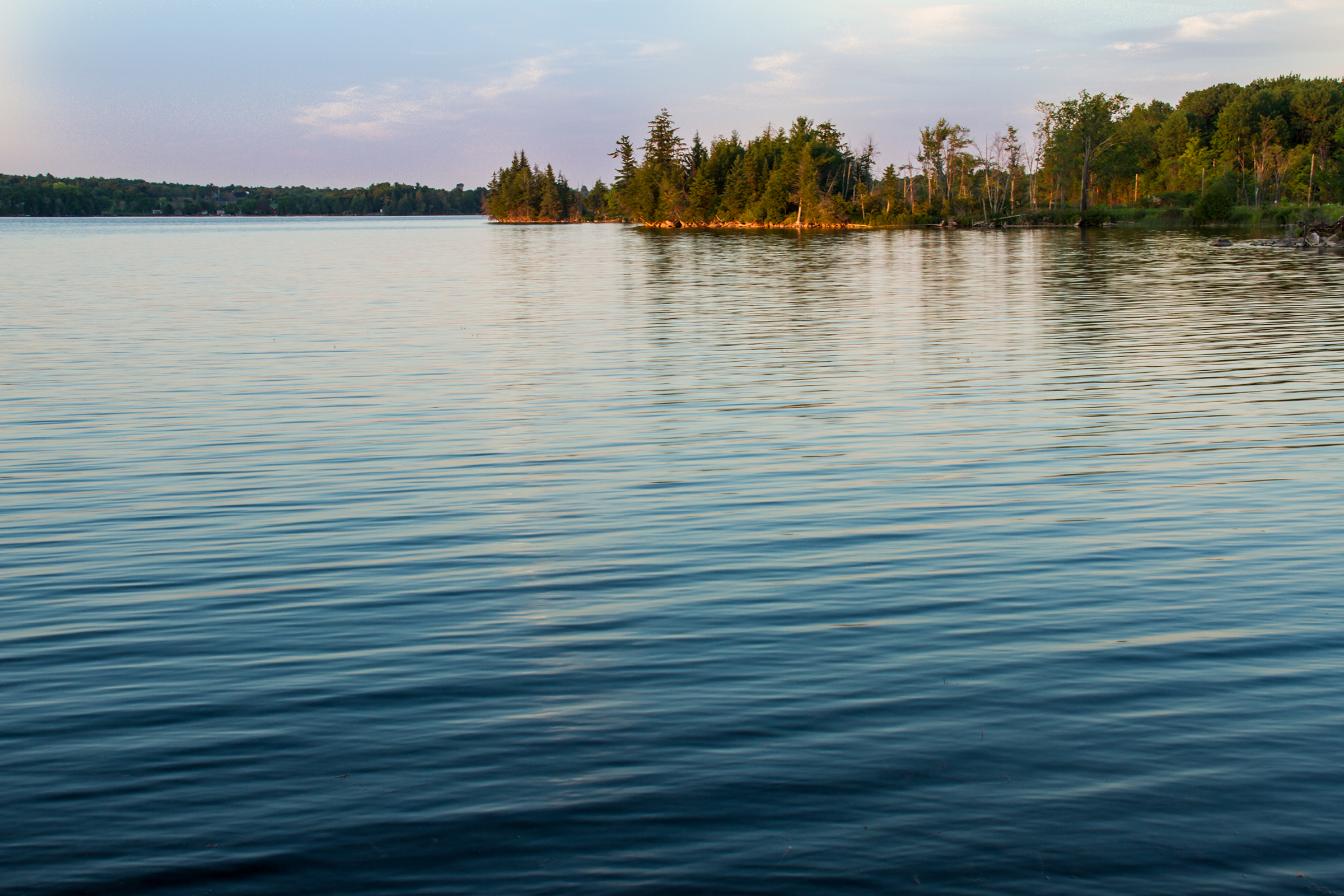
Golden on Silver
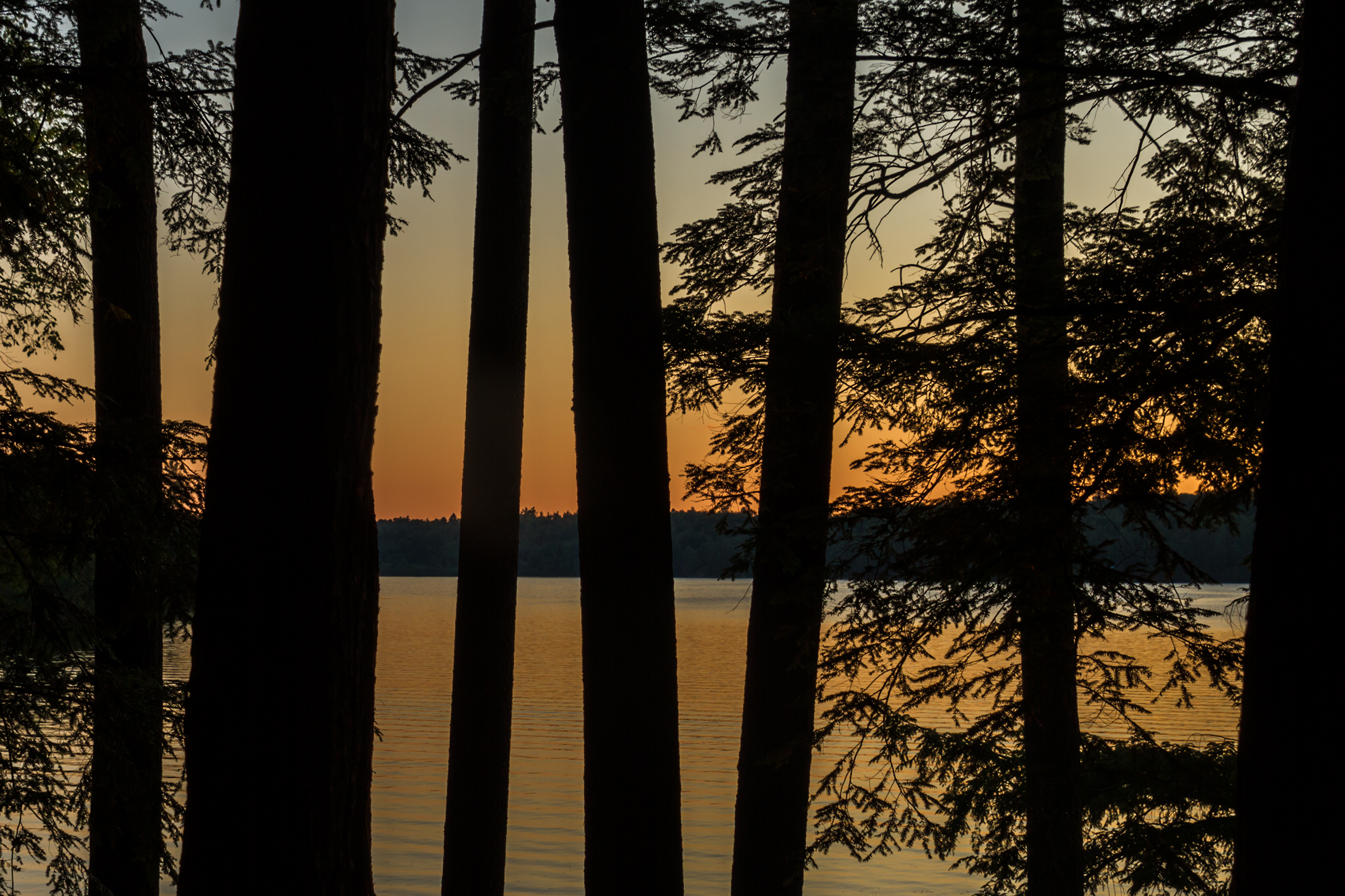
Farewell to Silver Lake

The McCulloch Massacre
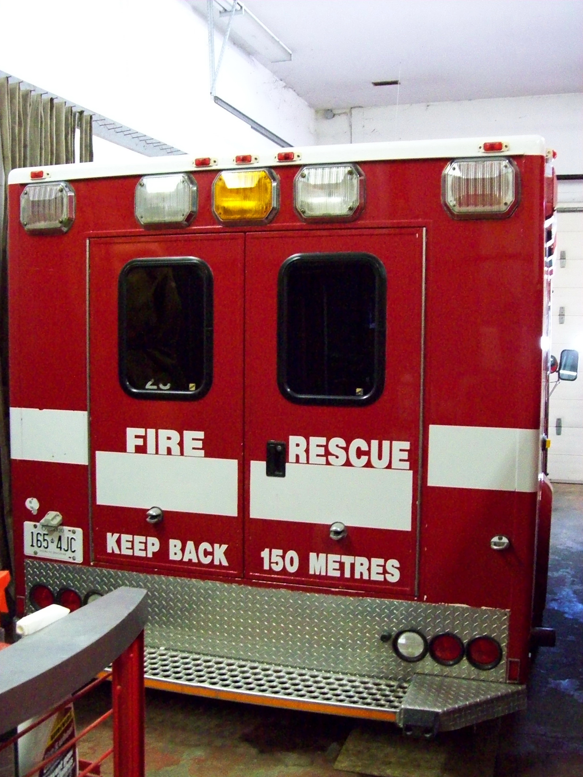
South Sherbrooke Fire Department Unit 109 1996 Ford E-450 Demers Ambulance light rescue rear view Maberly, Ontario Canada 07092009 ©Ian A. McCord
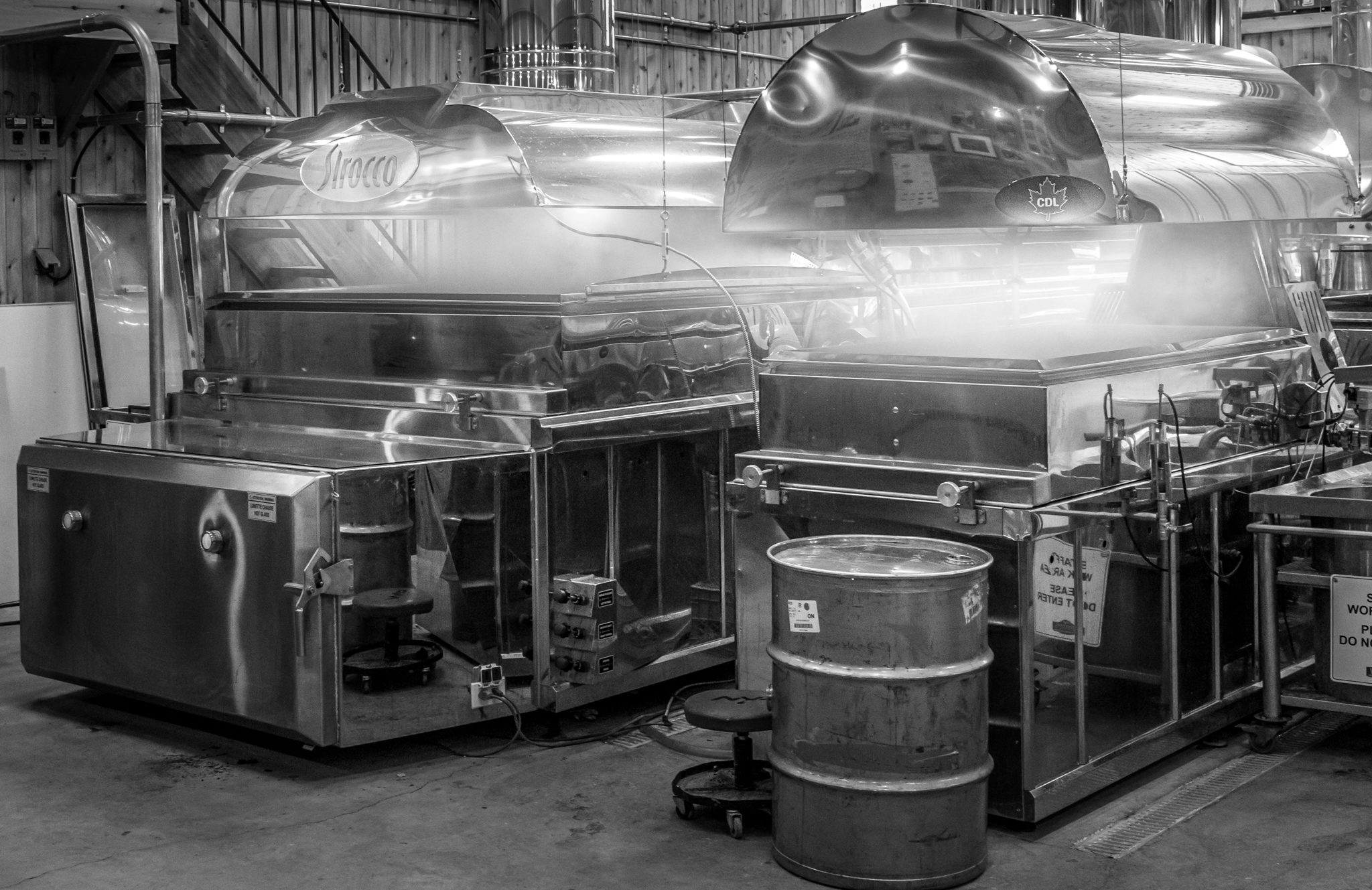
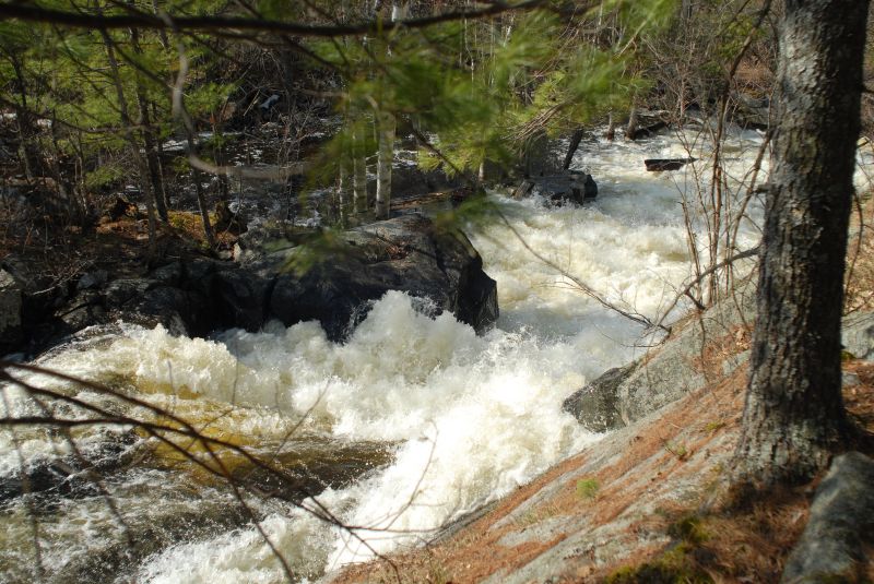
On The Boil

Farmers' market panorama - Autostitch only
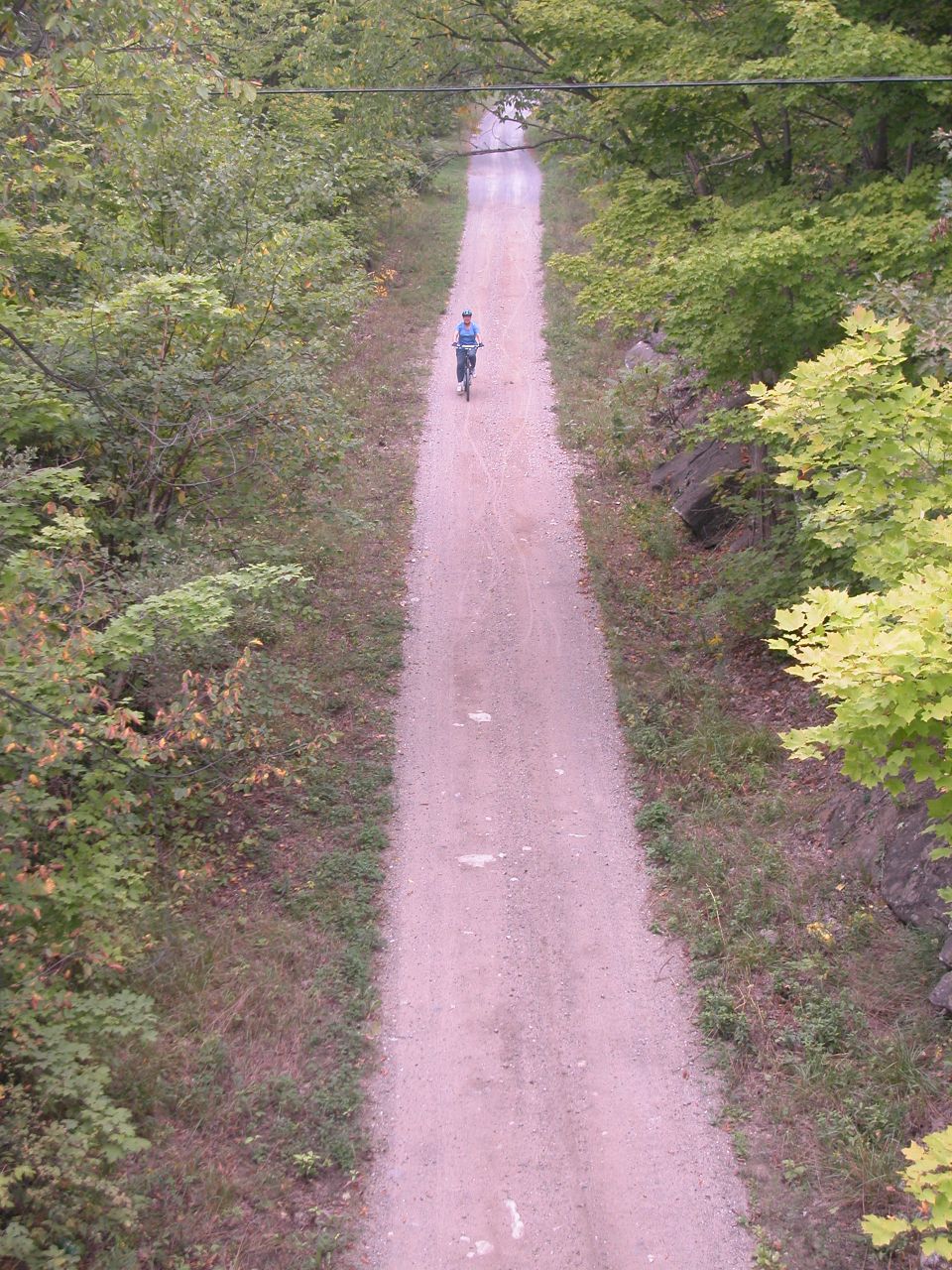
DSCN3189 Central Frontenac Trailway

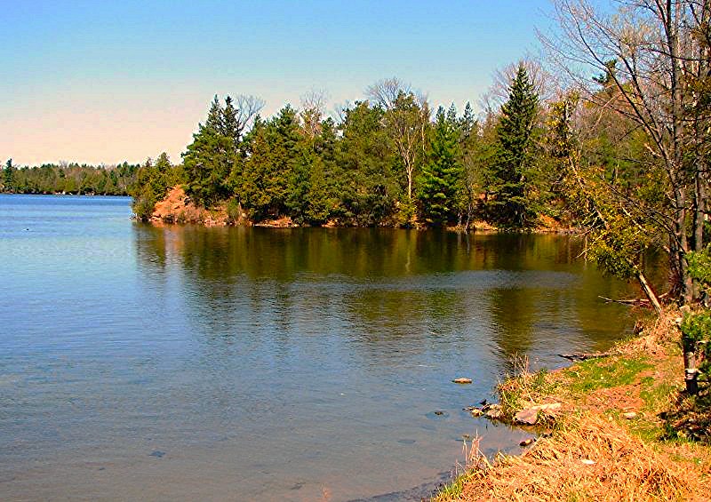
The view from the Silver Lake scenic point; Silver Lake, Ontario
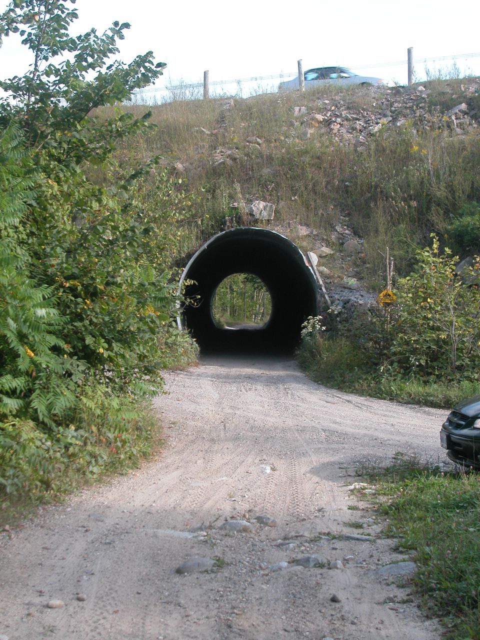
DSCN3201 K&P Rail Trail passing under Hwy 7
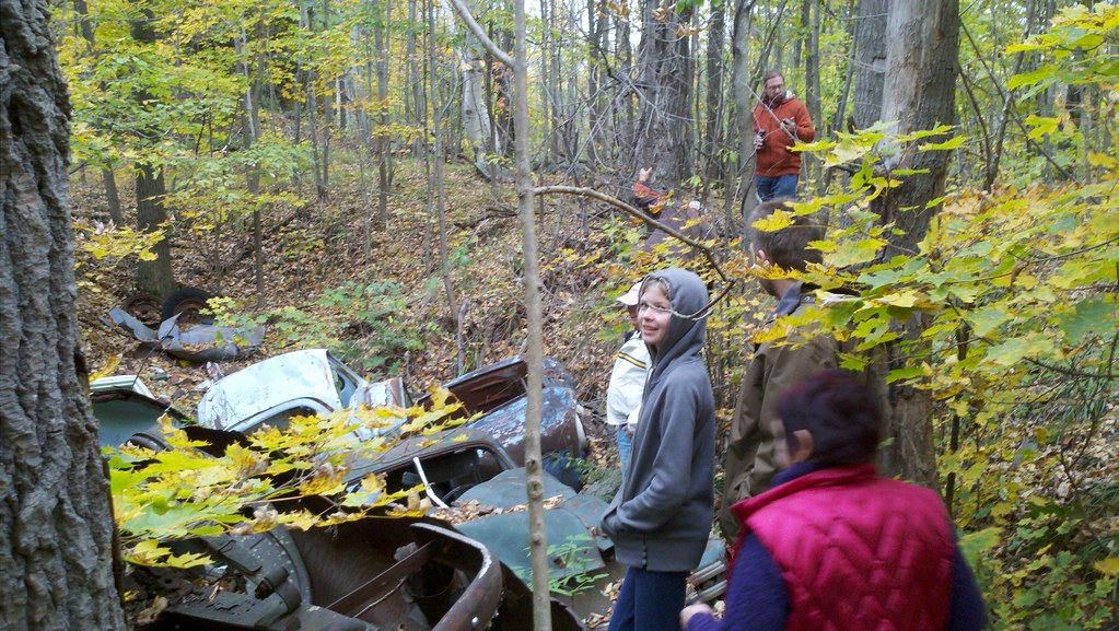
Explorers and general view

The view from the Silver Lake scenic point; Silver Lake, Ontario
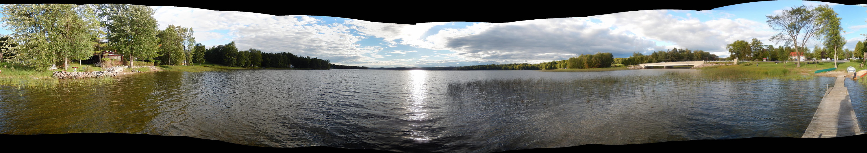
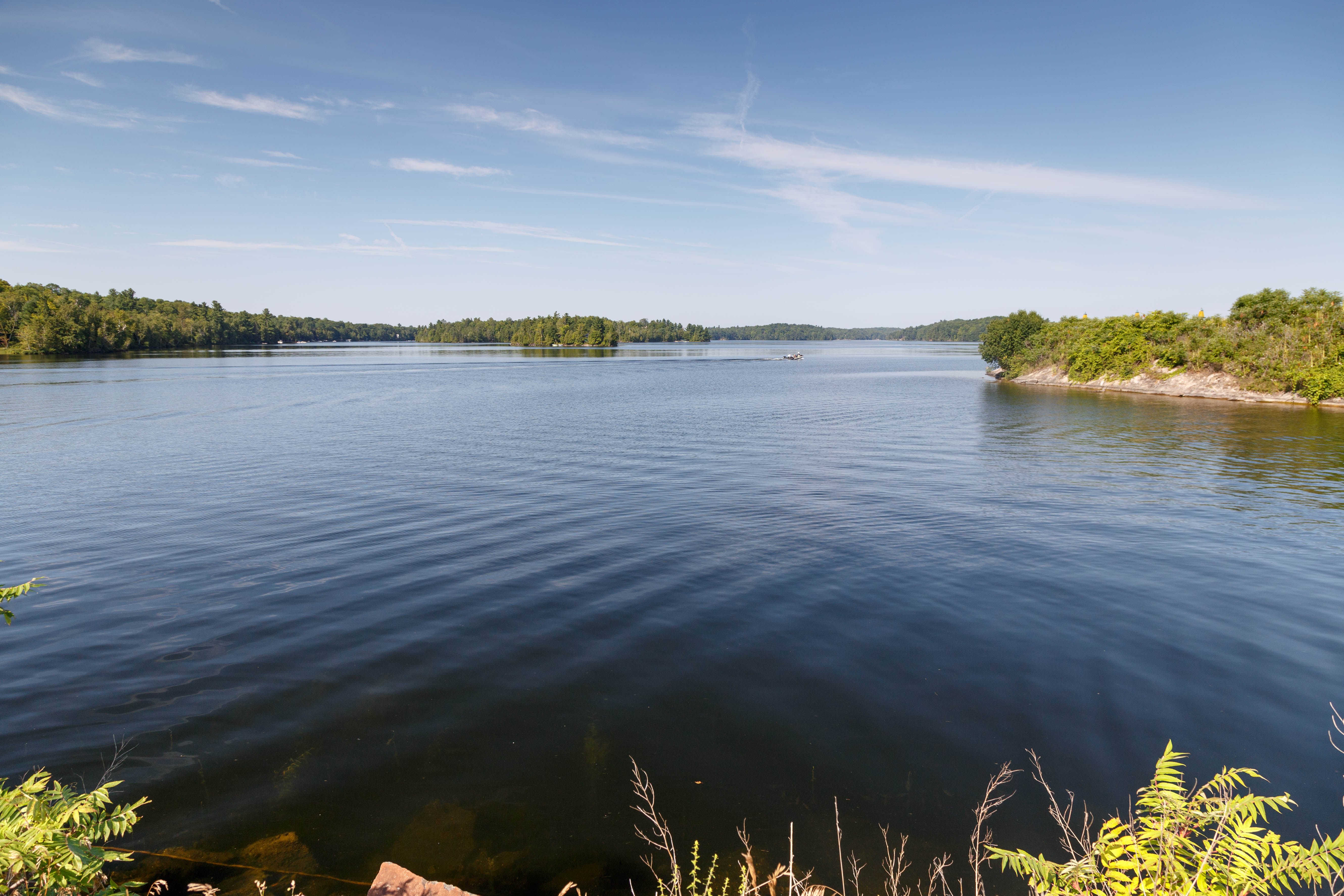
Dalhousie Lake, panorama
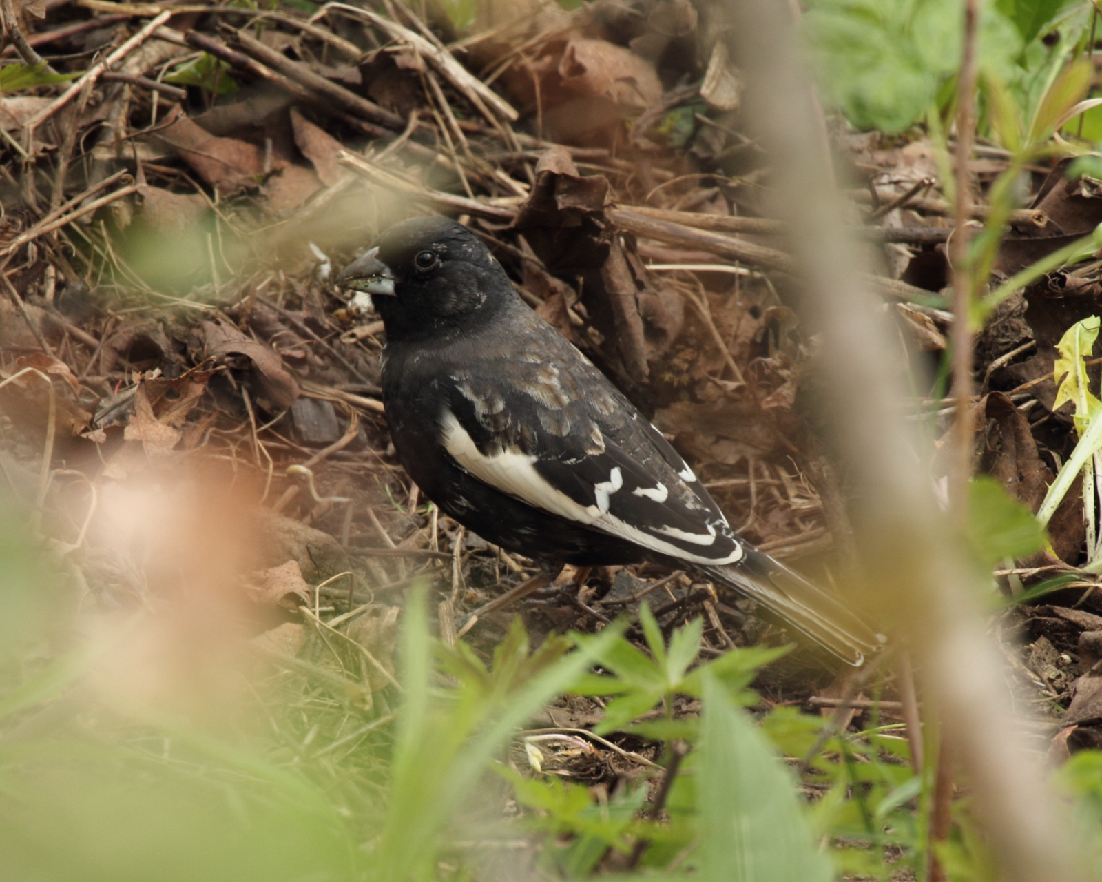
Lark Bunting in Frontenac County, Ontario
The Sugar Bush Awakens
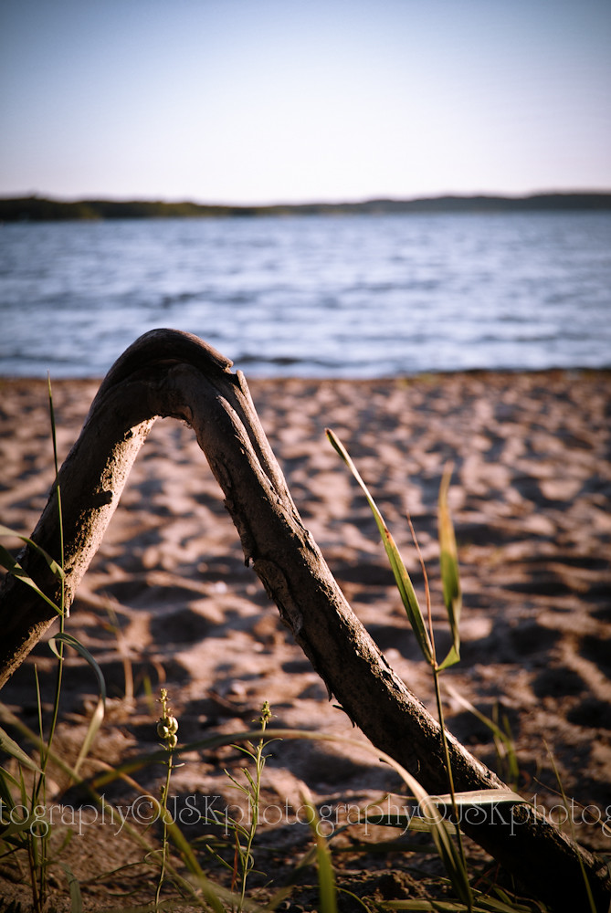
Tree Root

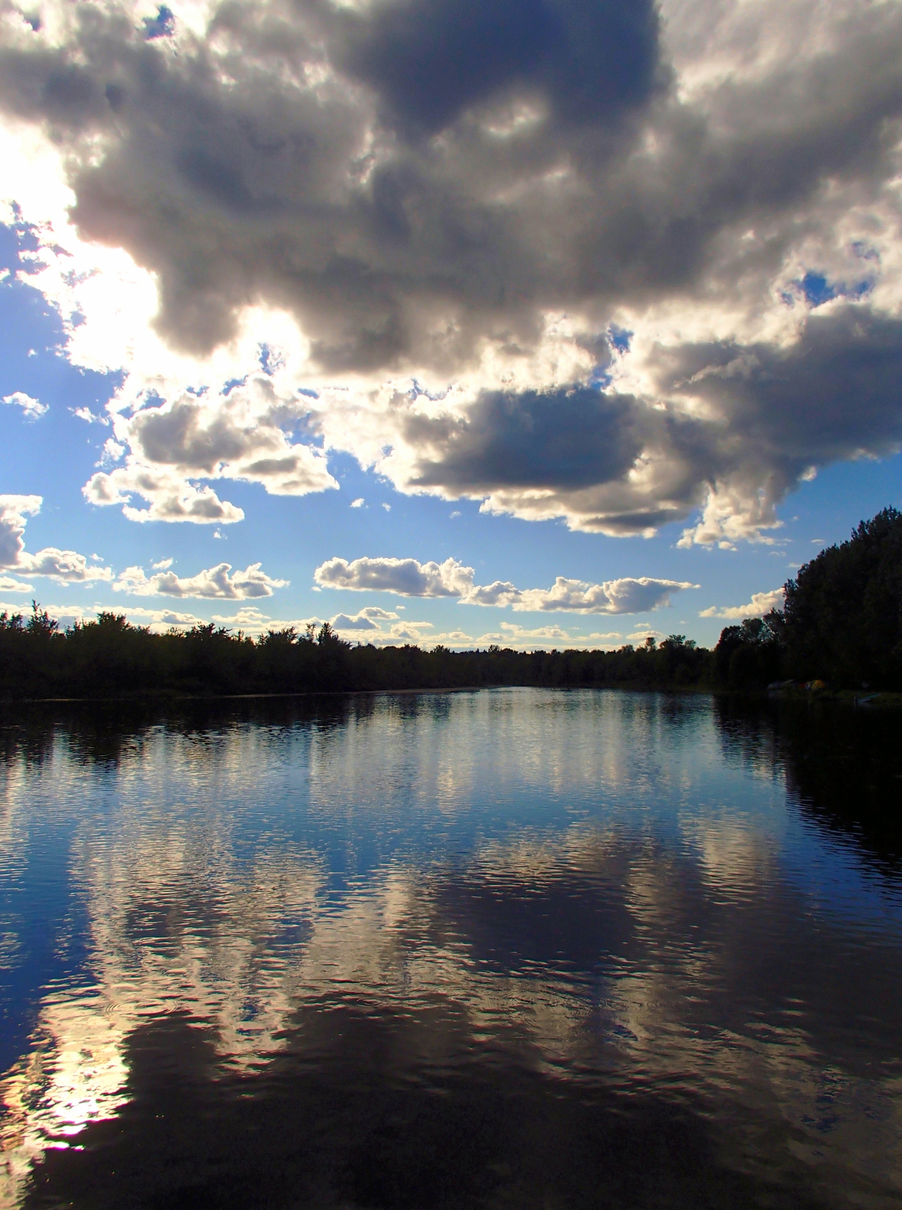
Storm front panorama : Autostitch
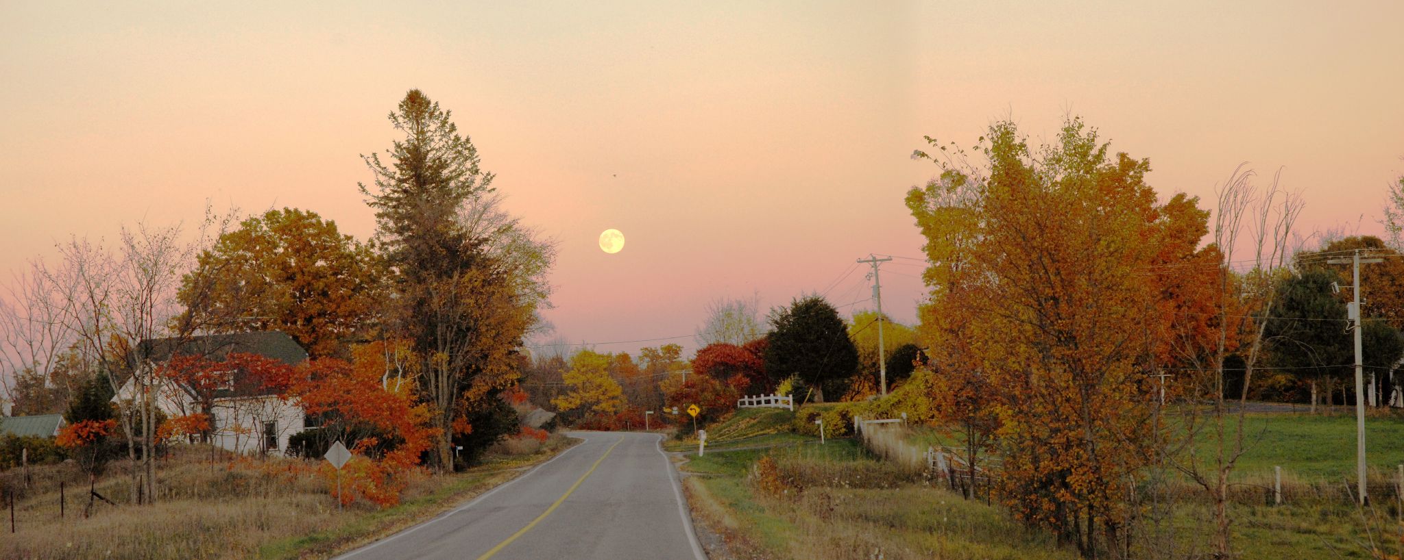
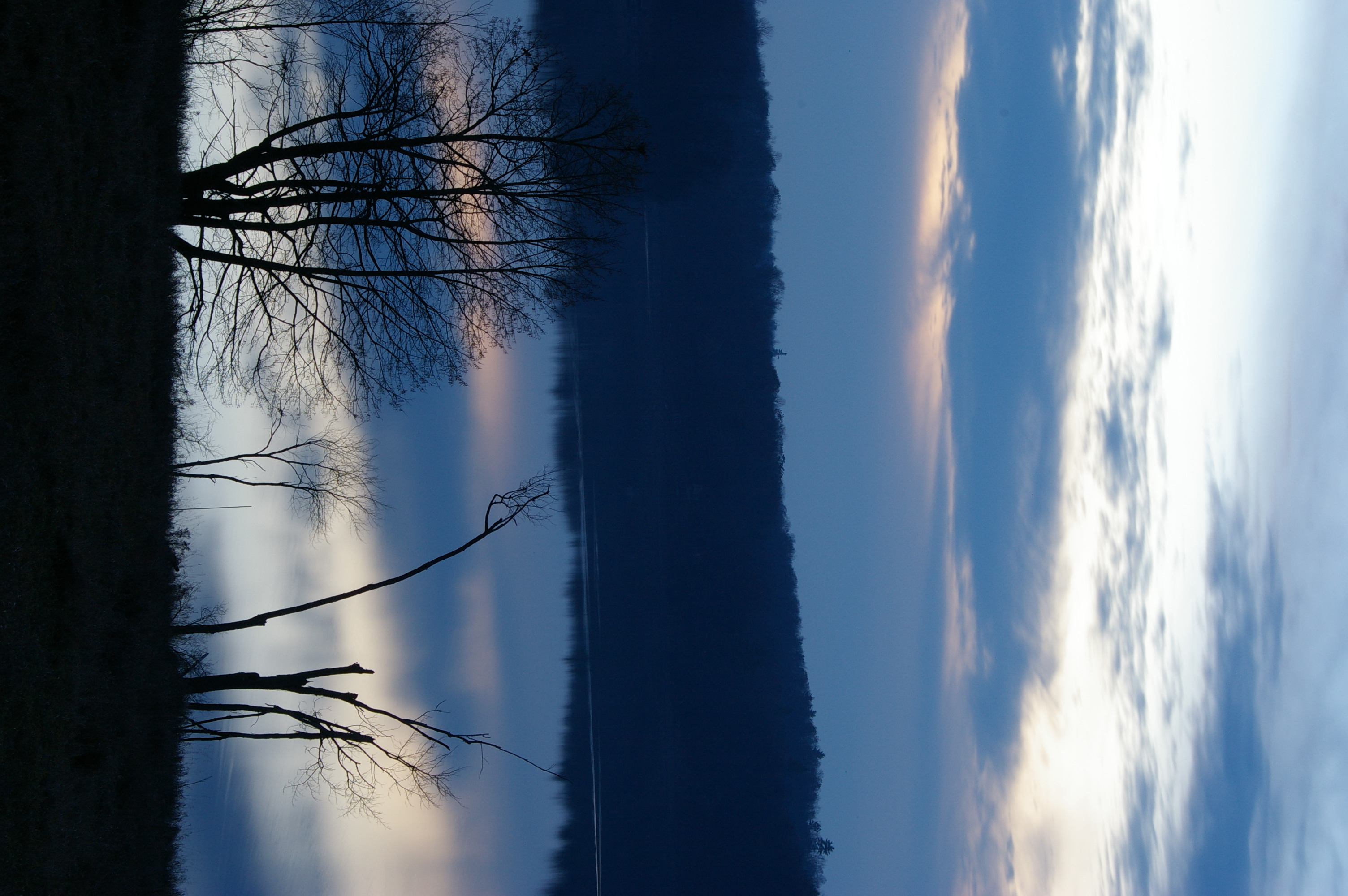
Full moon over Althorpe Road, Lanark County
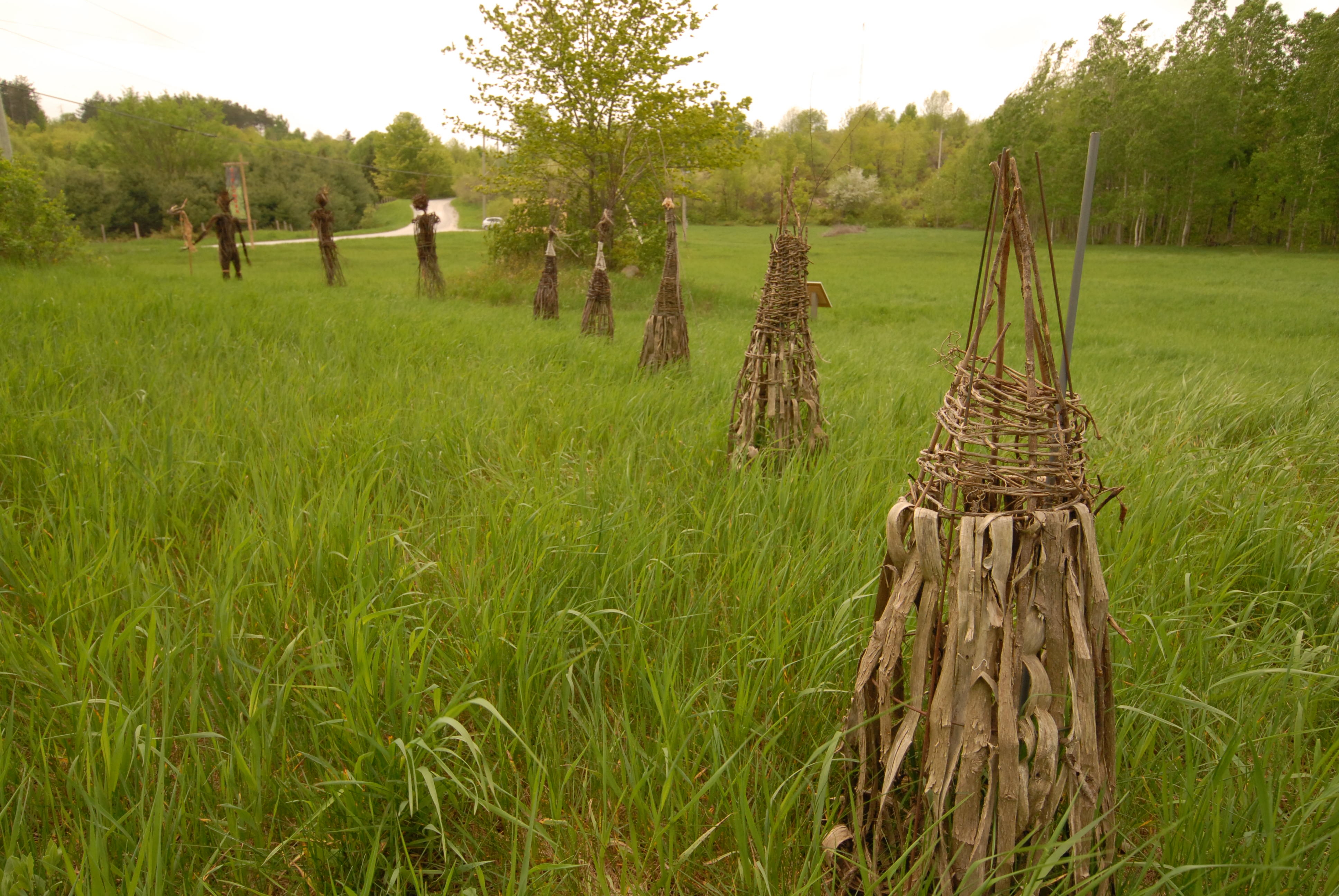
Art installation : Fieldwork
Up River

Stream in Lanark Highlands
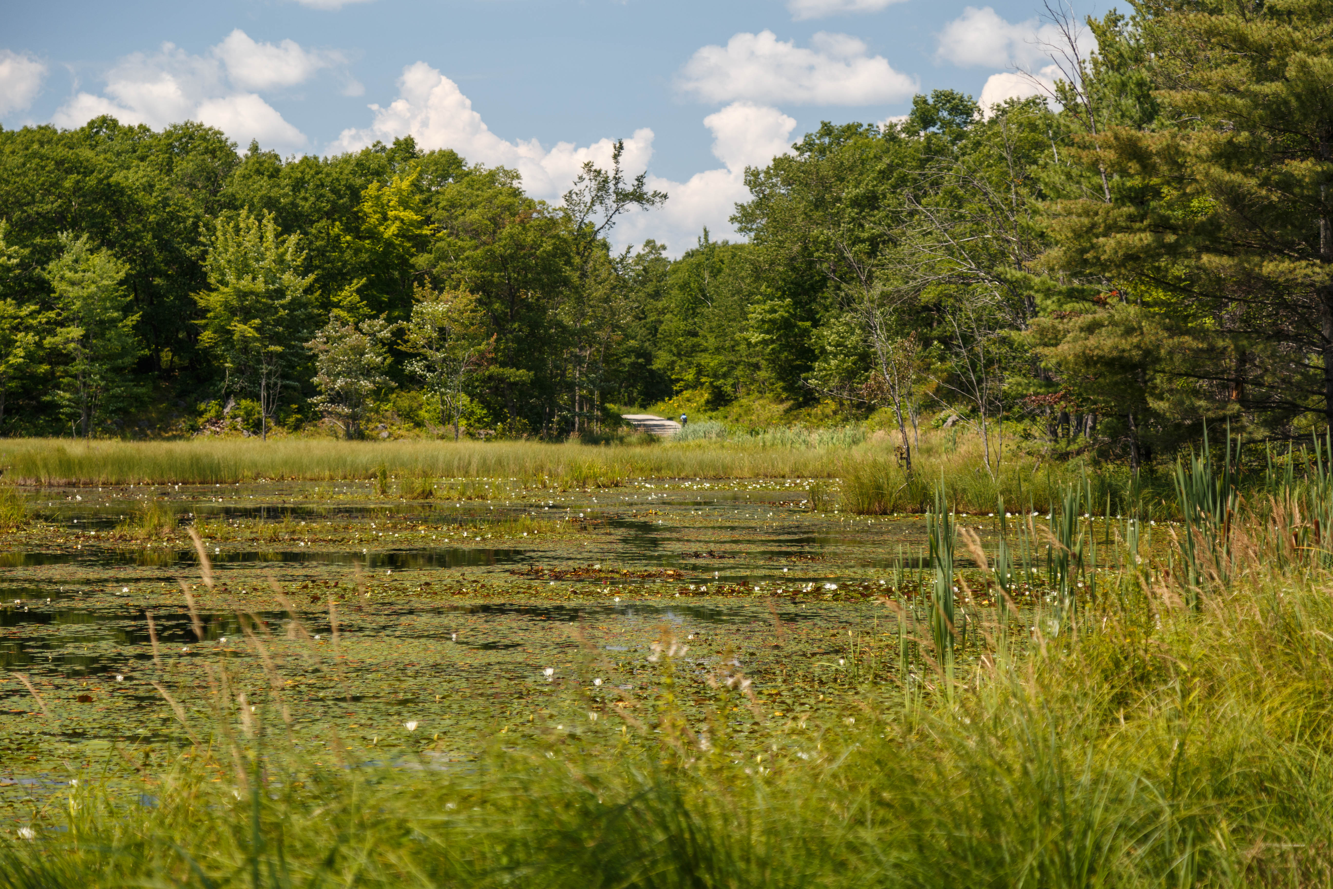
Silver Lake Provincial Park, ON

Art installation : Fieldwork
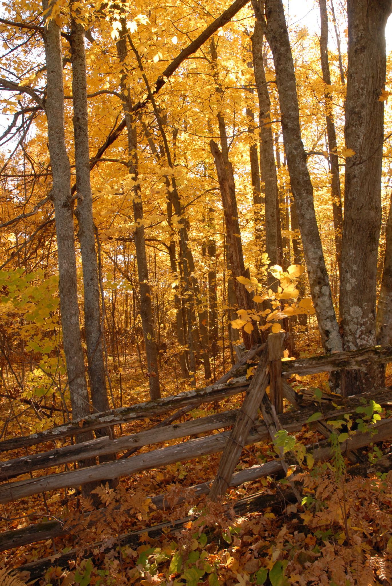
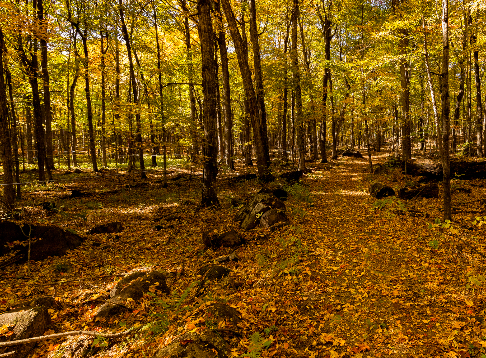
Golden forest

Lalande Managed Forest - Dick's Lake
Bolton Creek rapids
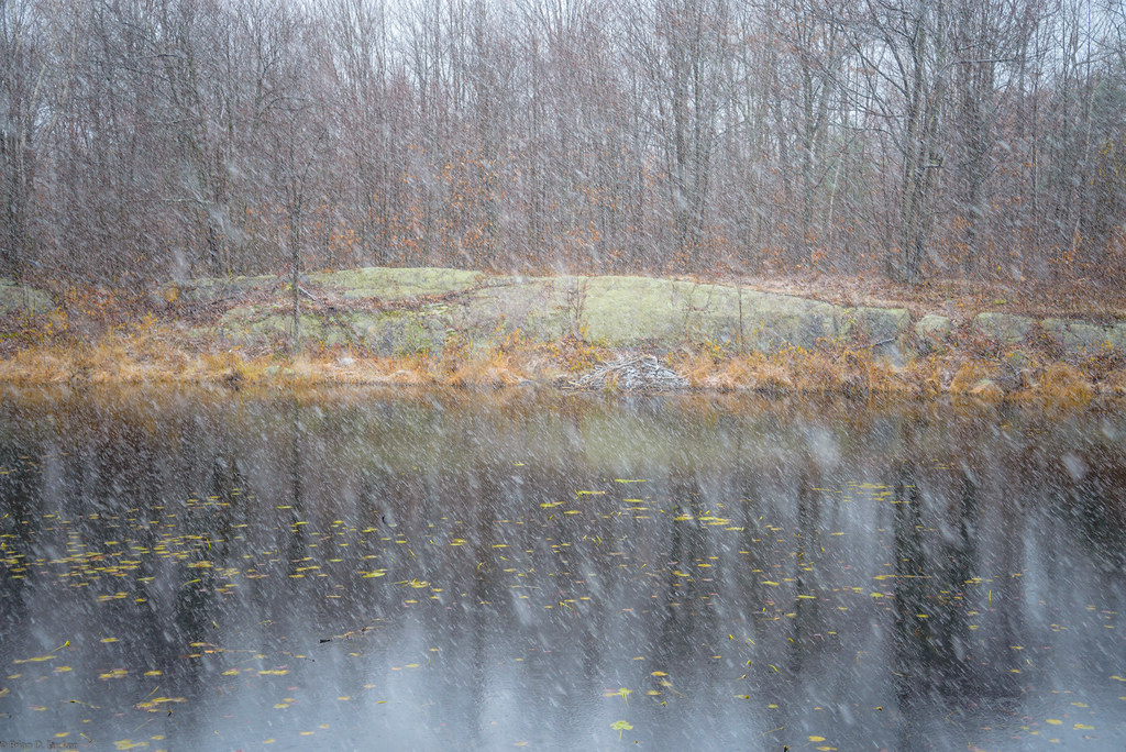
first snow
7:50
The Lot - November 27
Silver Lake

The Lot - November 27
Central Frontenac
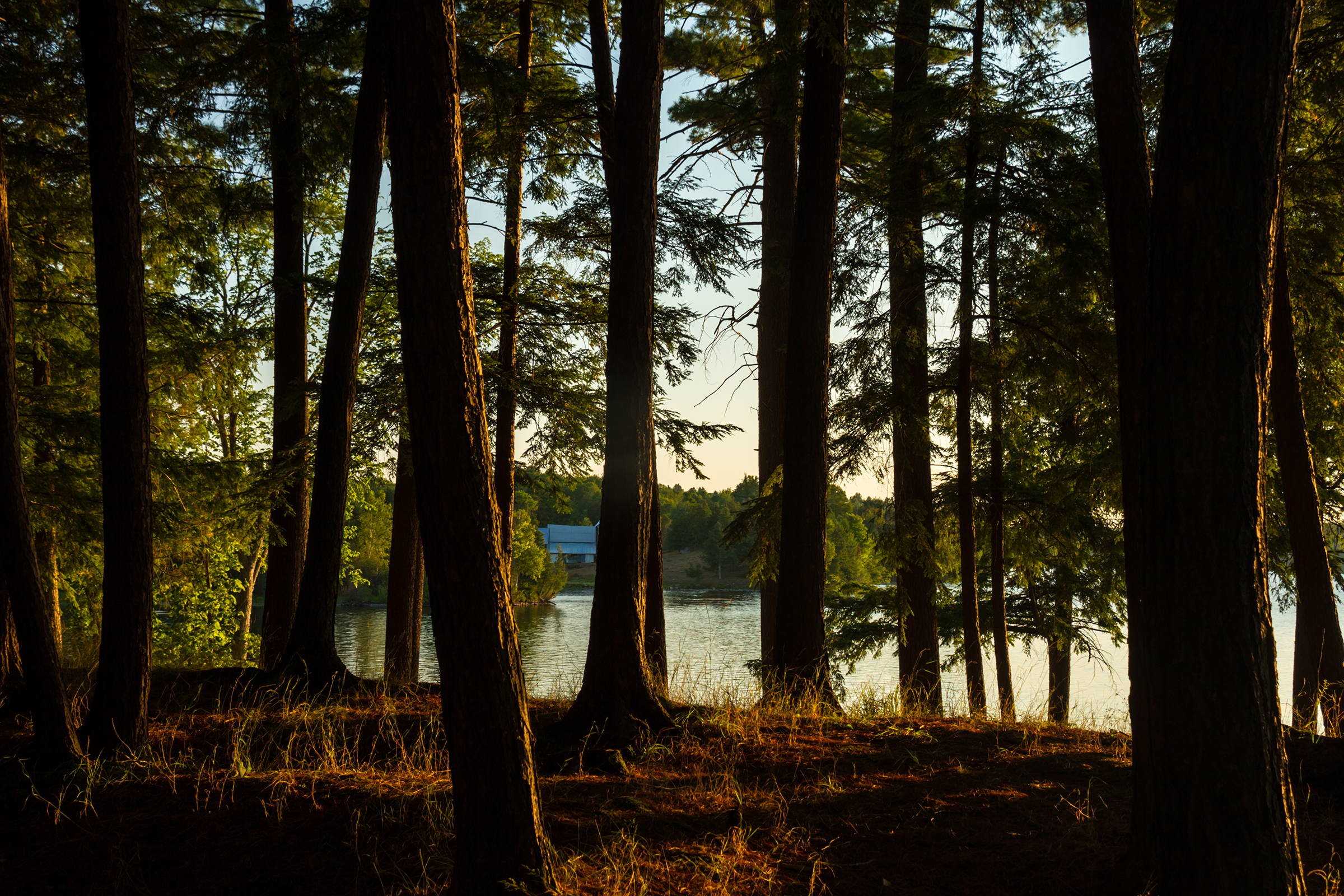
Sharbot Lake, Morning
Topographic Map of Maberly, ON K0G, Canada
Find elevation by address:

Places in Maberly, ON K0G, Canada:
Places near Maberly, ON K0G, Canada:
1702 Mcveigh Rd
Brooke
3002 Elphin-maberly Rd
3002 Elphin-maberly Rd
Elphin
981 Concession Rd 11
872 Concession Road 9a Dalhousie
Mcdonald's Corners Agricultural Hall
Mcdonalds Corners
Dalhousie Lake
515 Purdons Bay Rd
774 Mcveigh Rd
802 Ennis Rd
1097 N Shore Rd
153 Bathurst Line E
866 6 Concession A Dalhousie
Playfairville
Tay Valley
Fallbrook
592 Harper Rd
Recent Searches:
- Elevation of Zimmer Trail, Pennsylvania, USA
- Elevation of 87 Kilmartin Ave, Bristol, CT, USA
- Elevation of Honghe National Nature Reserve, QP95+PJP, Tongjiang, Heilongjiang, Jiamusi, Heilongjiang, China
- Elevation of Hercules Dr, Colorado Springs, CO, USA
- Elevation of Szlak pieszy czarny, Poland
- Elevation of Griffing Blvd, Biscayne Park, FL, USA
- Elevation of Kreuzburger Weg 13, Düsseldorf, Germany
- Elevation of Gateway Blvd SE, Canton, OH, USA
- Elevation of East W.T. Harris Boulevard, E W.T. Harris Blvd, Charlotte, NC, USA
- Elevation of West Sugar Creek, Charlotte, NC, USA