Elevation of Crawford, NC, USA
Location: United States > North Carolina > Currituck County >
Longitude: -76.0391909
Latitude: 36.4300509
Elevation: 0m / 0feet
Barometric Pressure: 0KPa
Related Photos:
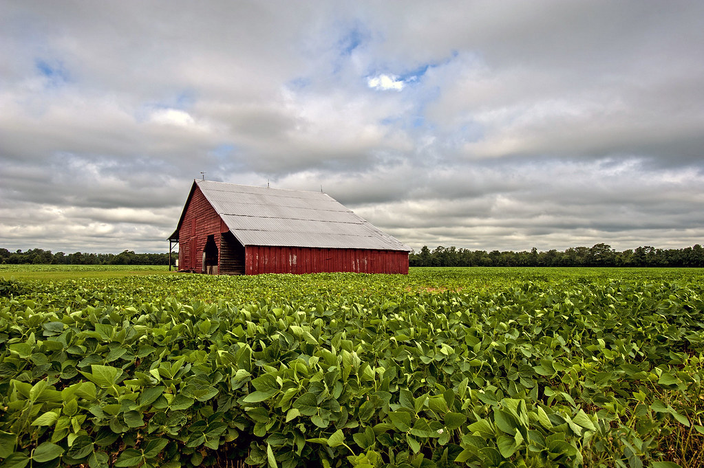
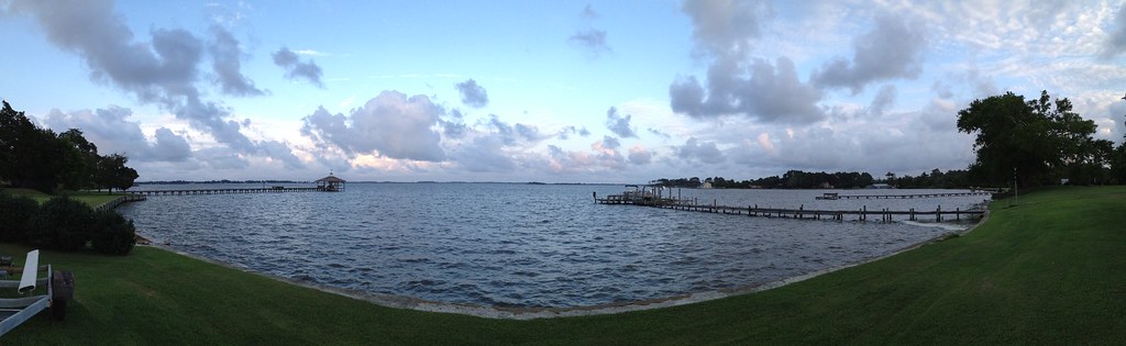
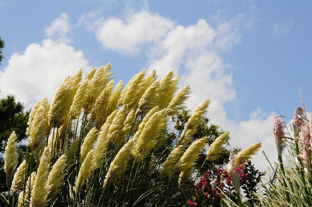
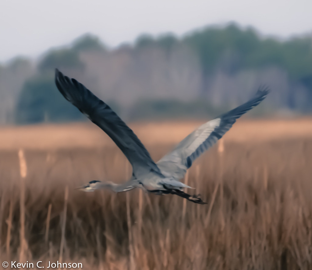
Blackwater 025

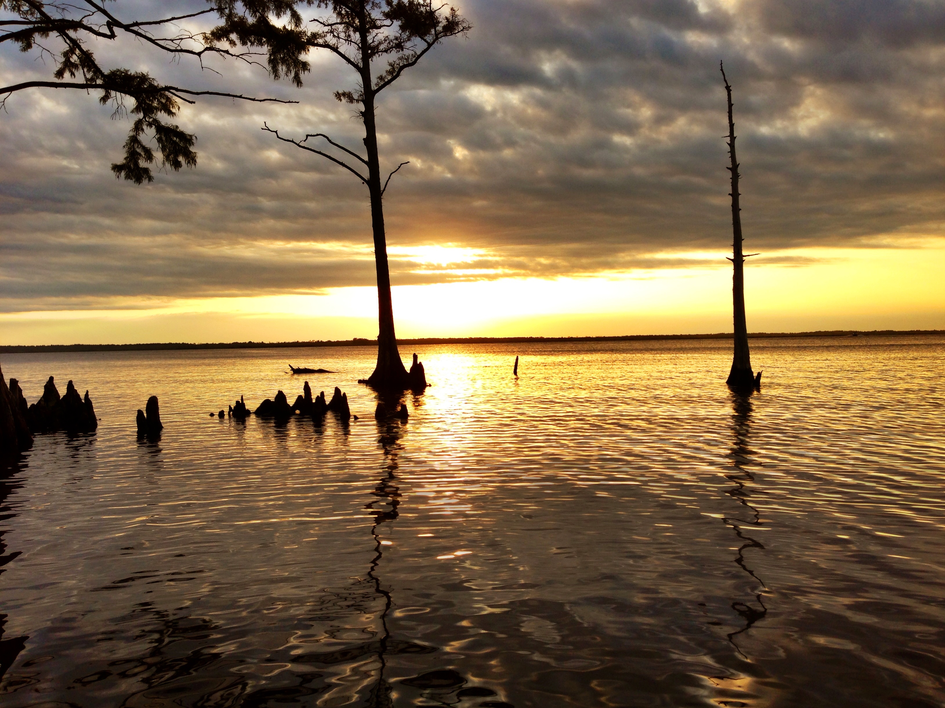
Wreck Tree
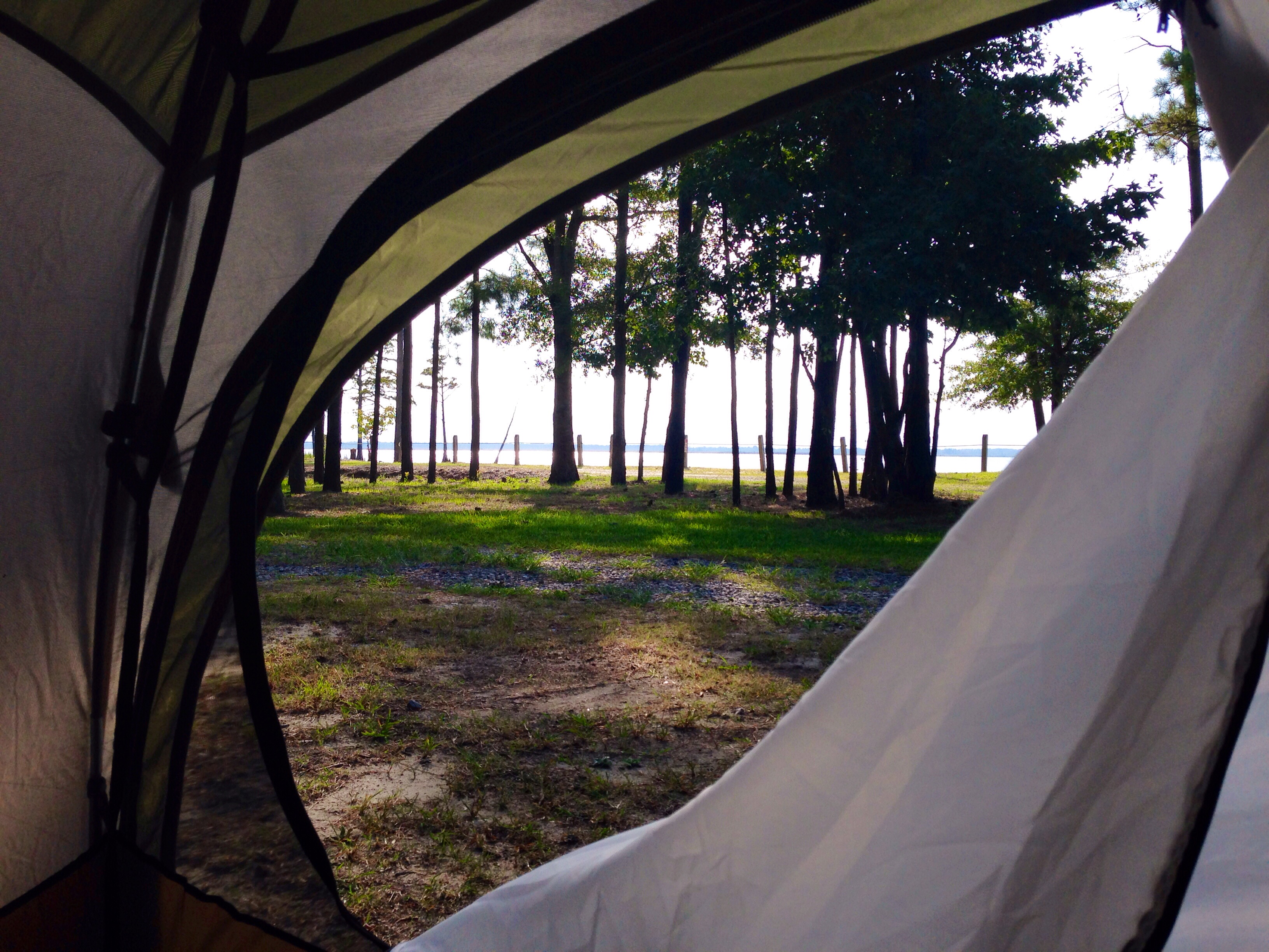
Labor Day Camping Trip - view from campsite
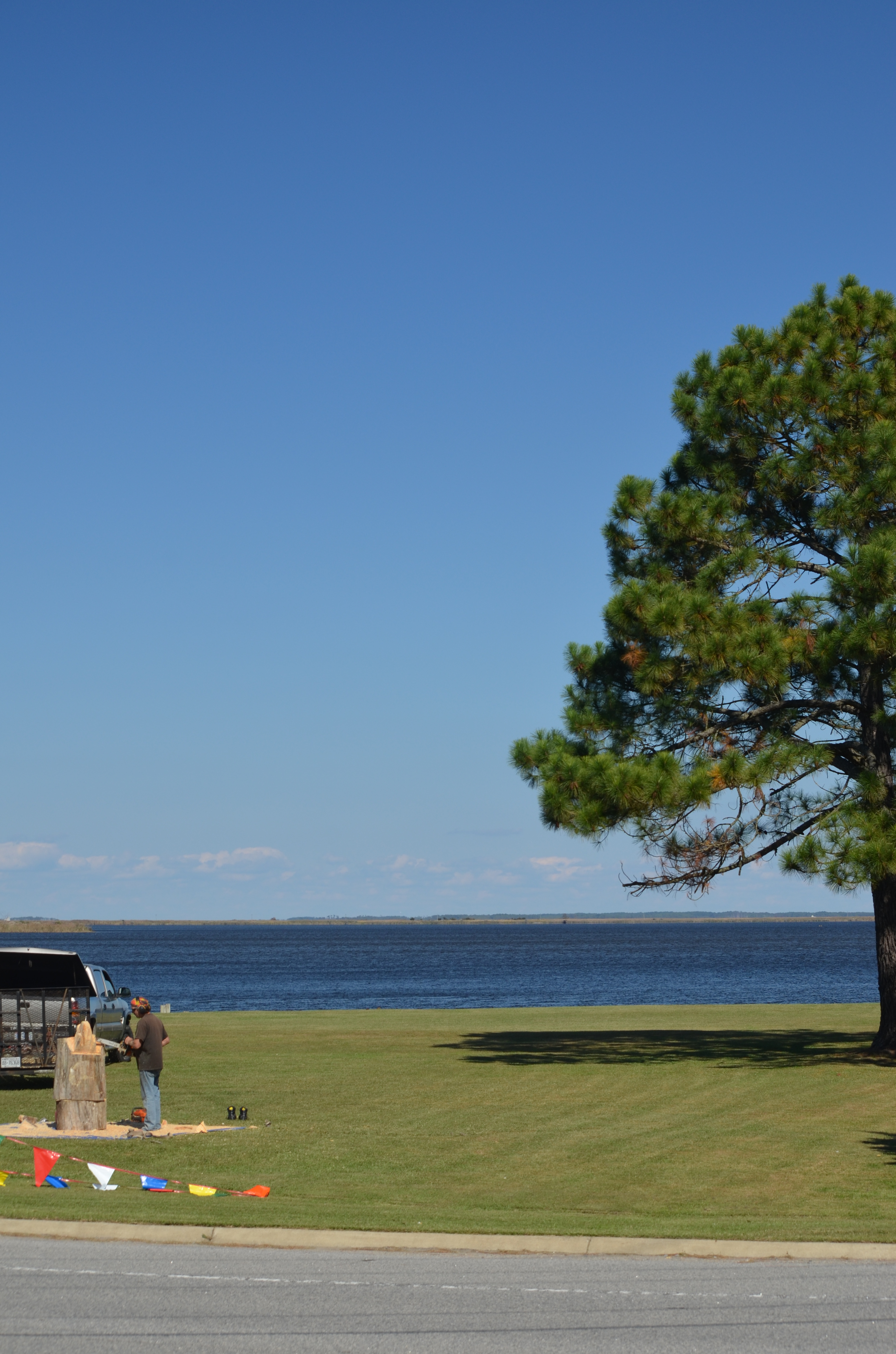
2013-10-24 (29) chainsaw wood carving
2013-10-24 - (20) Morris Farm Market
Wonderful Evening

z2013-09-11 (22) Currituck County NC
2013-10-24 (33) chainsaw wood carving
2013-10-24 - (21) Morris Farm Market
2013-10-24 - (22) Morris Farm Market

My view as I woke up this morning. ????

2013-10-02 (4) Moyock NC tracks
20080822 12-56-09WHB
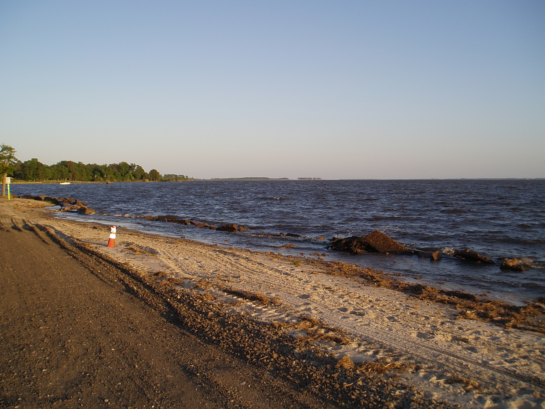
Labor Day Camping Trip - Sunset from North Landing Beach

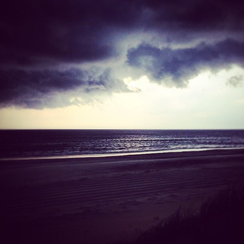
Storms moving through
A storm rolled through the Outer Banks this evening.
Knott's Island Camping Trip
20121215-DSC_0131.jpg

Sunset on the baseball field
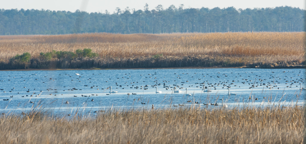
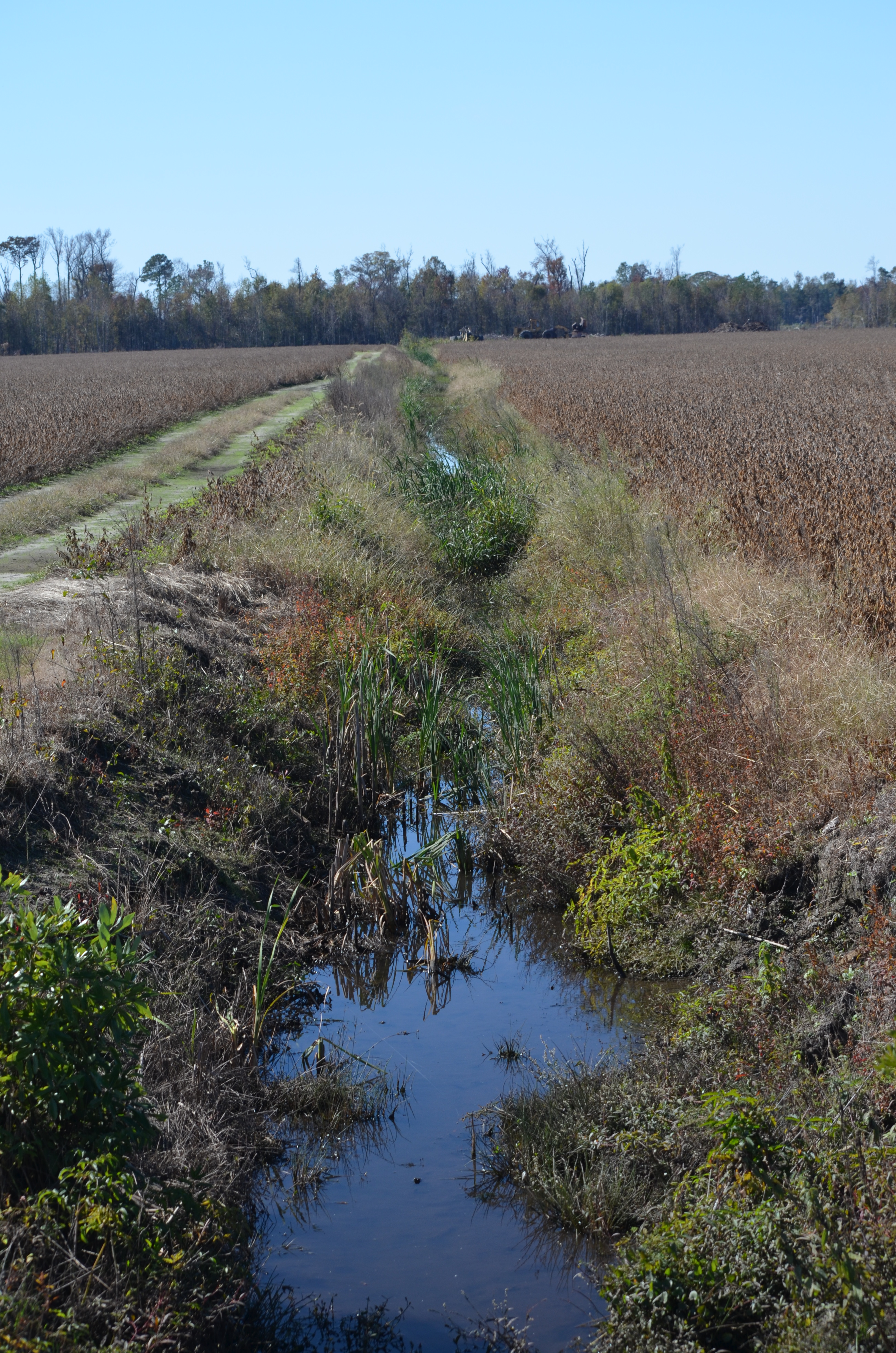
Back Bay Wildlife Refuge
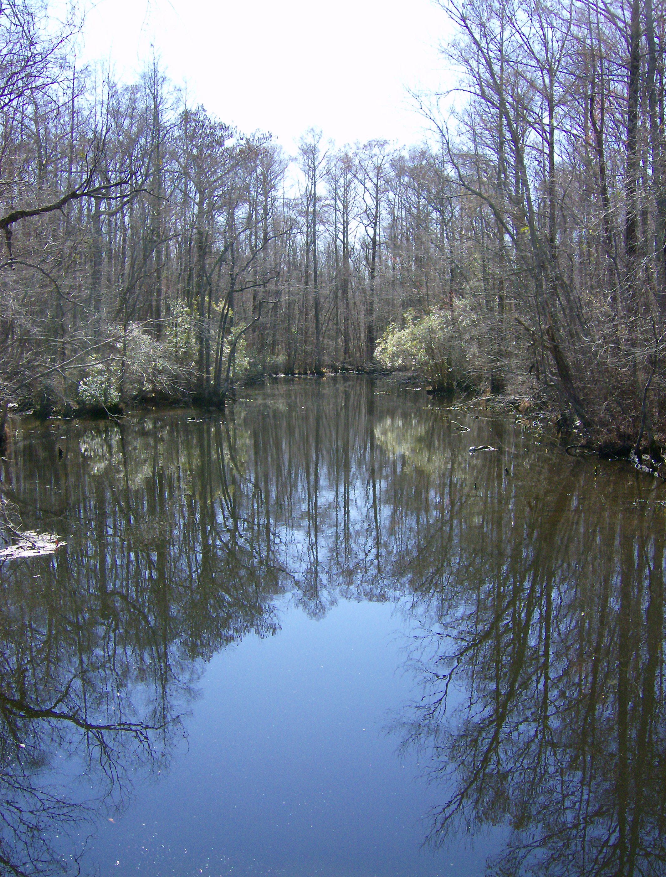
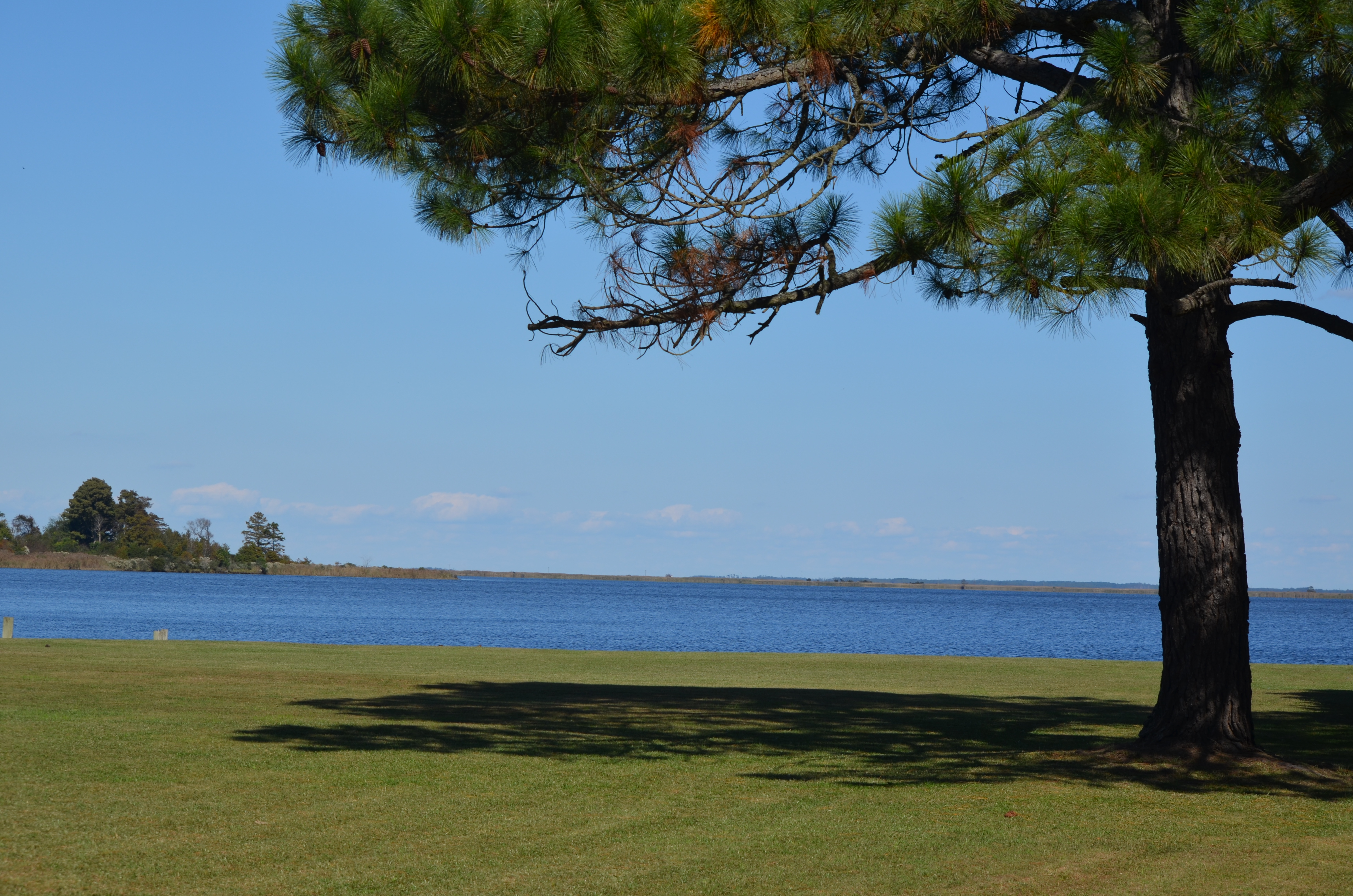
Sawyer's Creek

Outer Banks Trip
2013-10-24 - (37) Morris Farm Market

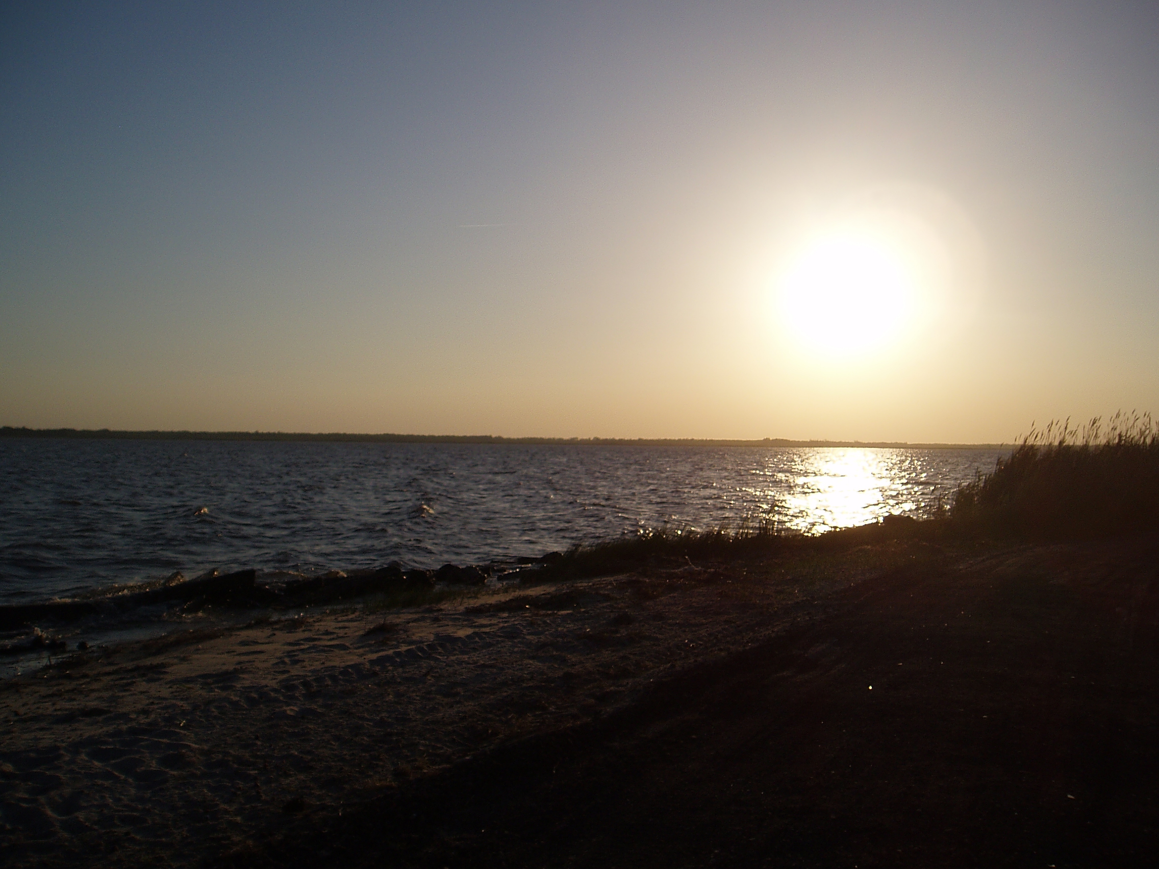
Sunrise 12/23

Currituck High School Football
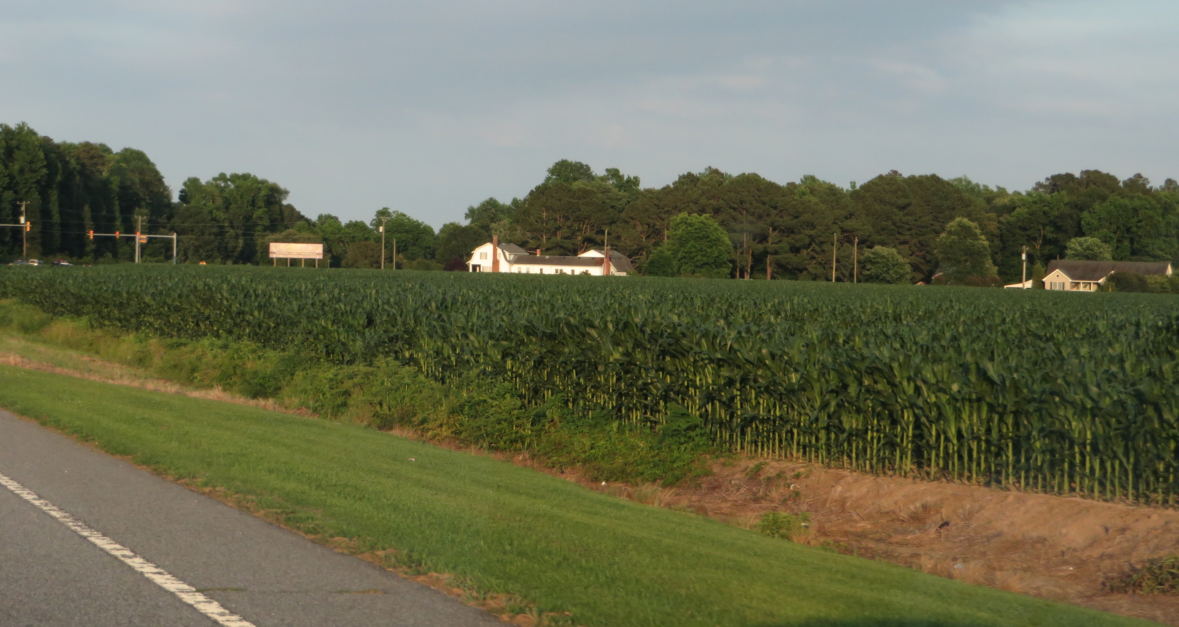
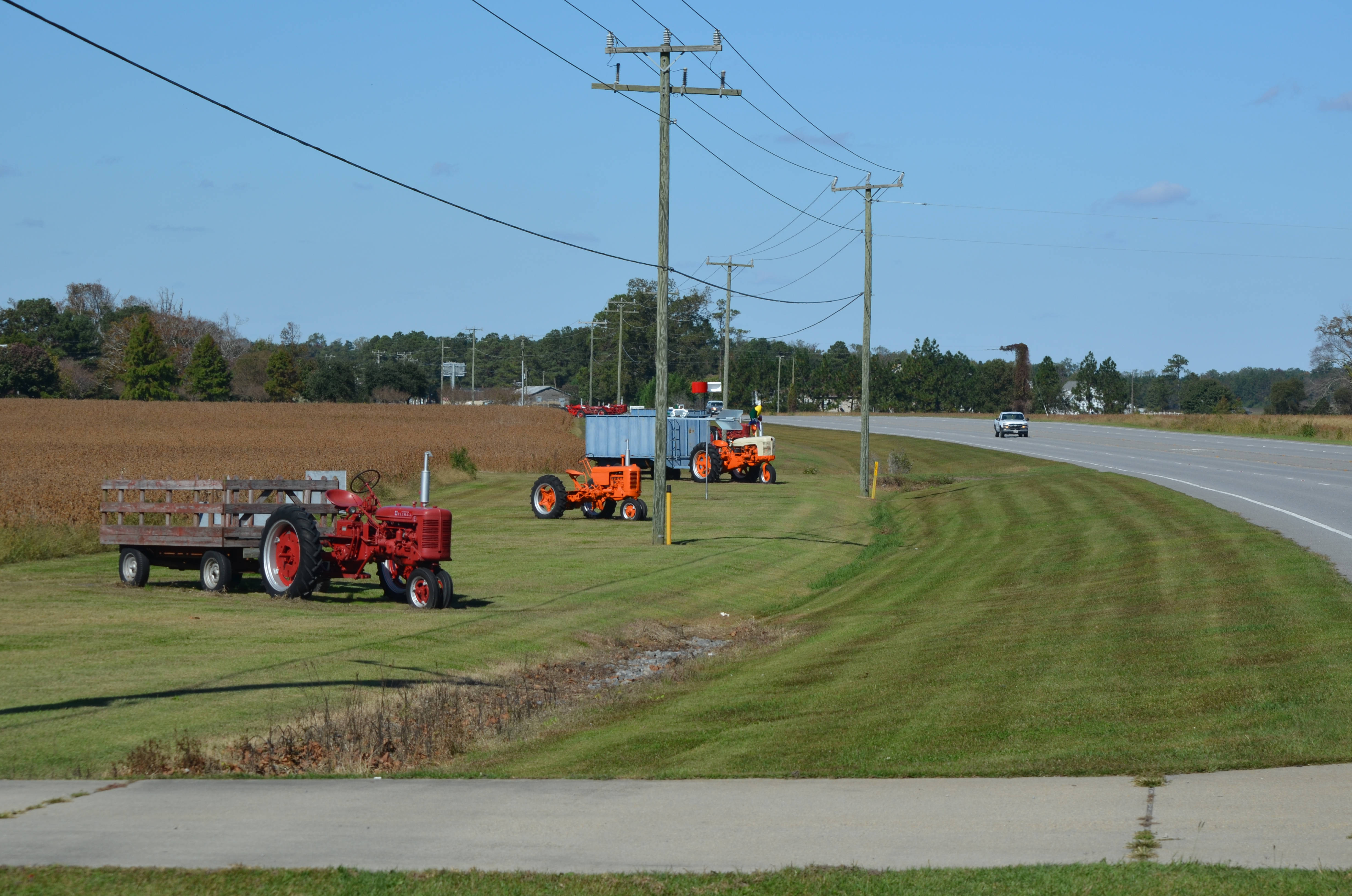
Caratoke Highway (North Carolina Highway 168), Currituck, North Carolina
Knott's Island Camping Trip

Knott's Island Camping Trip

Outer Banks Trip
Topographic Map of Crawford, NC, USA
Find elevation by address:

Places in Crawford, NC, USA:
Barco
Currituck
101 Hastings Dr
Hastings Drive
Shawboro
283 Brumsey Rd
147 Mariners Way
165 Mariners Way
Places near Crawford, NC, USA:
Currituck
Courthouse Rd, Currituck, NC, USA
103 Cameron Rd
147 Mariners Way
129 Taylors Rd
165 Mariners Way
Elizabeth Circle
120 Elizabeth Cir
283 Brumsey Rd
653 Poyners Rd
184 Brumsey Rd
191 Arabian Ln
823 Shawboro Rd
119 Central Ln
Shawboro
567 Snowden Rd
221 Poyners Rd
221 Poyners Rd
221 Poyners Rd
137 Travis Boulevard
Recent Searches:
- Elevation of Sullivan Hill, New York, New York, 10002, USA
- Elevation of Morehead Road, Withrow Downs, Charlotte, Mecklenburg County, North Carolina, 28262, USA
- Elevation of 2800, Morehead Road, Withrow Downs, Charlotte, Mecklenburg County, North Carolina, 28262, USA
- Elevation of Yangbi Yi Autonomous County, Yunnan, China
- Elevation of Pingpo, Yangbi Yi Autonomous County, Yunnan, China
- Elevation of Mount Malong, Pingpo, Yangbi Yi Autonomous County, Yunnan, China
- Elevation map of Yongping County, Yunnan, China
- Elevation of North 8th Street, Palatka, Putnam County, Florida, 32177, USA
- Elevation of 107, Big Apple Road, East Palatka, Putnam County, Florida, 32131, USA
- Elevation of Jiezi, Chongzhou City, Sichuan, China
- Elevation of Chongzhou City, Sichuan, China
- Elevation of Huaiyuan, Chongzhou City, Sichuan, China
- Elevation of Qingxia, Chengdu, Sichuan, China
- Elevation of Corso Fratelli Cairoli, 35, Macerata MC, Italy
- Elevation of Tallevast Rd, Sarasota, FL, USA
- Elevation of 4th St E, Sonoma, CA, USA
- Elevation of Black Hollow Rd, Pennsdale, PA, USA
- Elevation of Oakland Ave, Williamsport, PA, USA
- Elevation of Pedrógão Grande, Portugal
- Elevation of Klee Dr, Martinsburg, WV, USA