Elevation of Cranberry Dr, Stuarts Draft, VA, USA
Location: United States > Virginia > Augusta County > Riverheads > Stuarts Draft >
Longitude: -79.072226
Latitude: 38.017257
Elevation: 469m / 1539feet
Barometric Pressure: 96KPa
Elevation Map:
Satellite Map:
Related Photos:
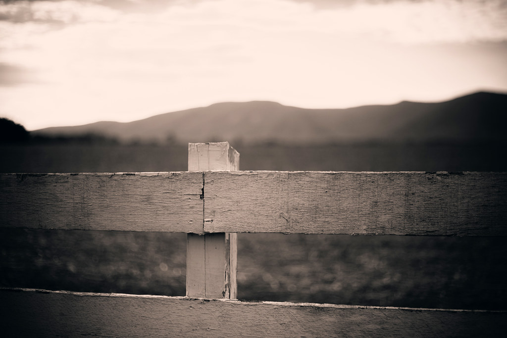
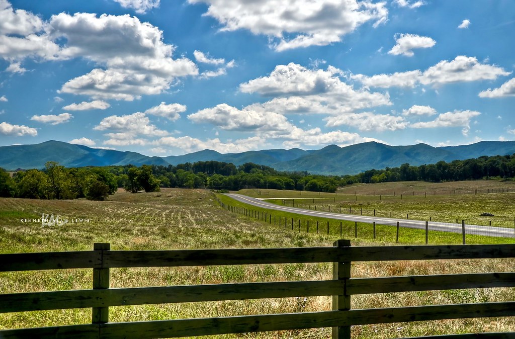
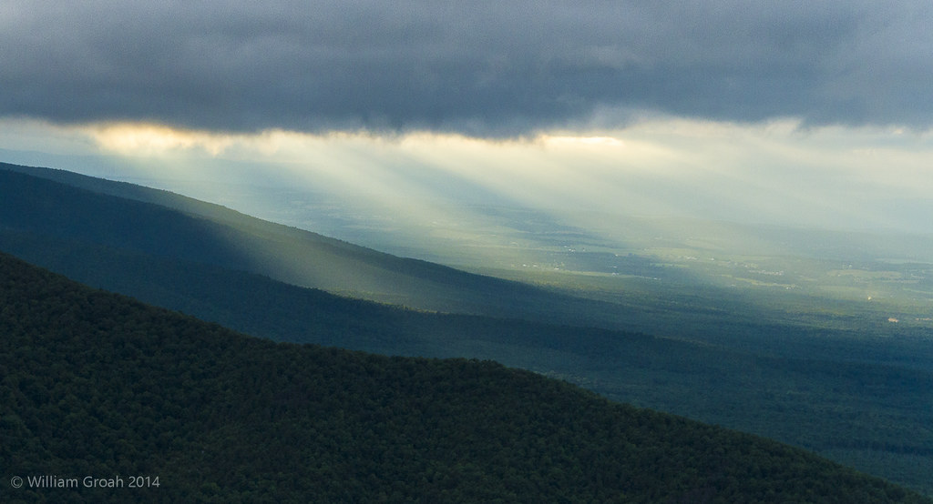
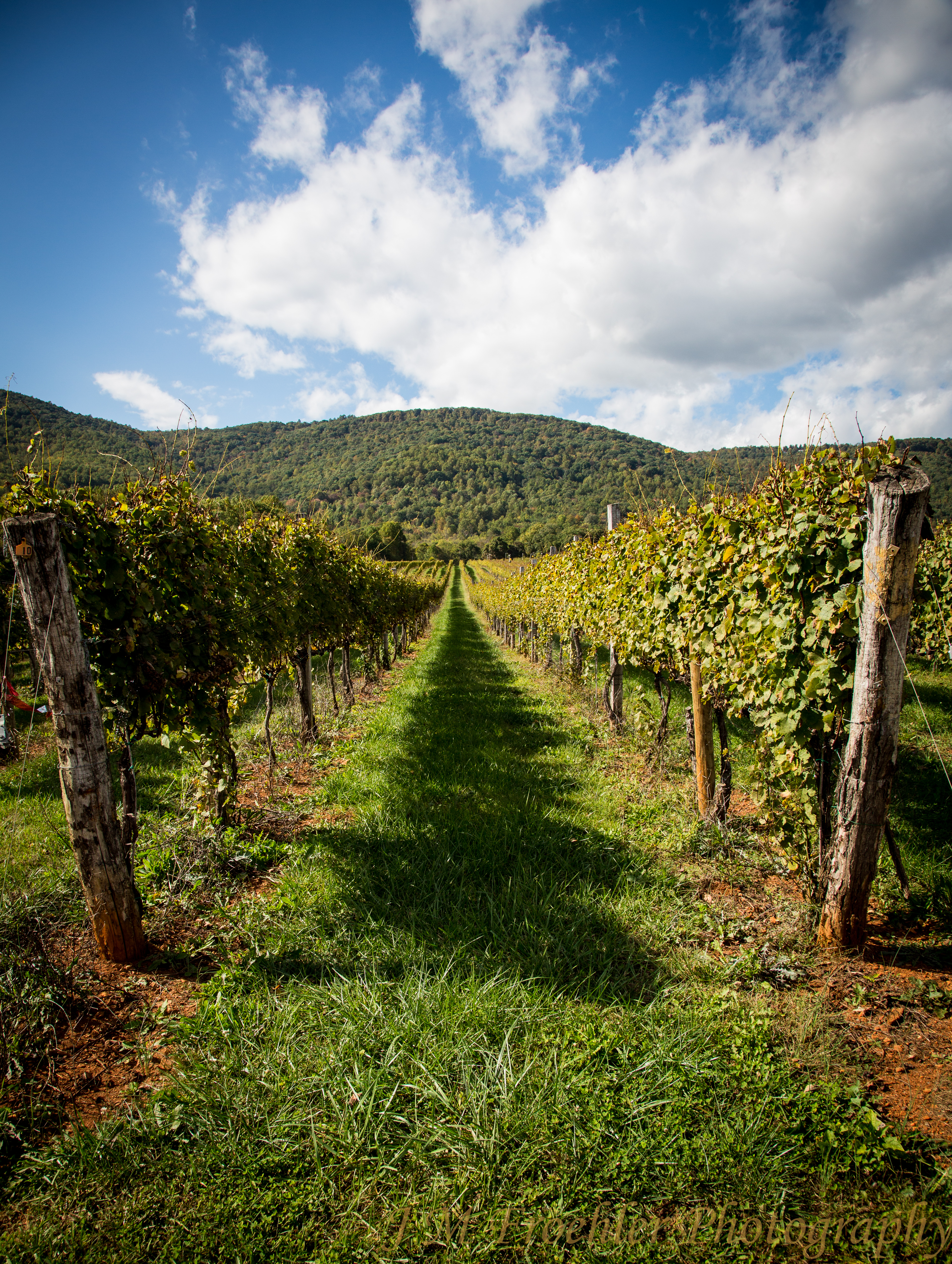
Fenced In Valley
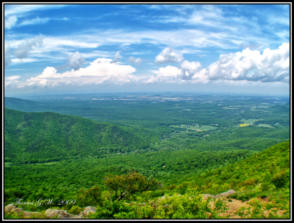
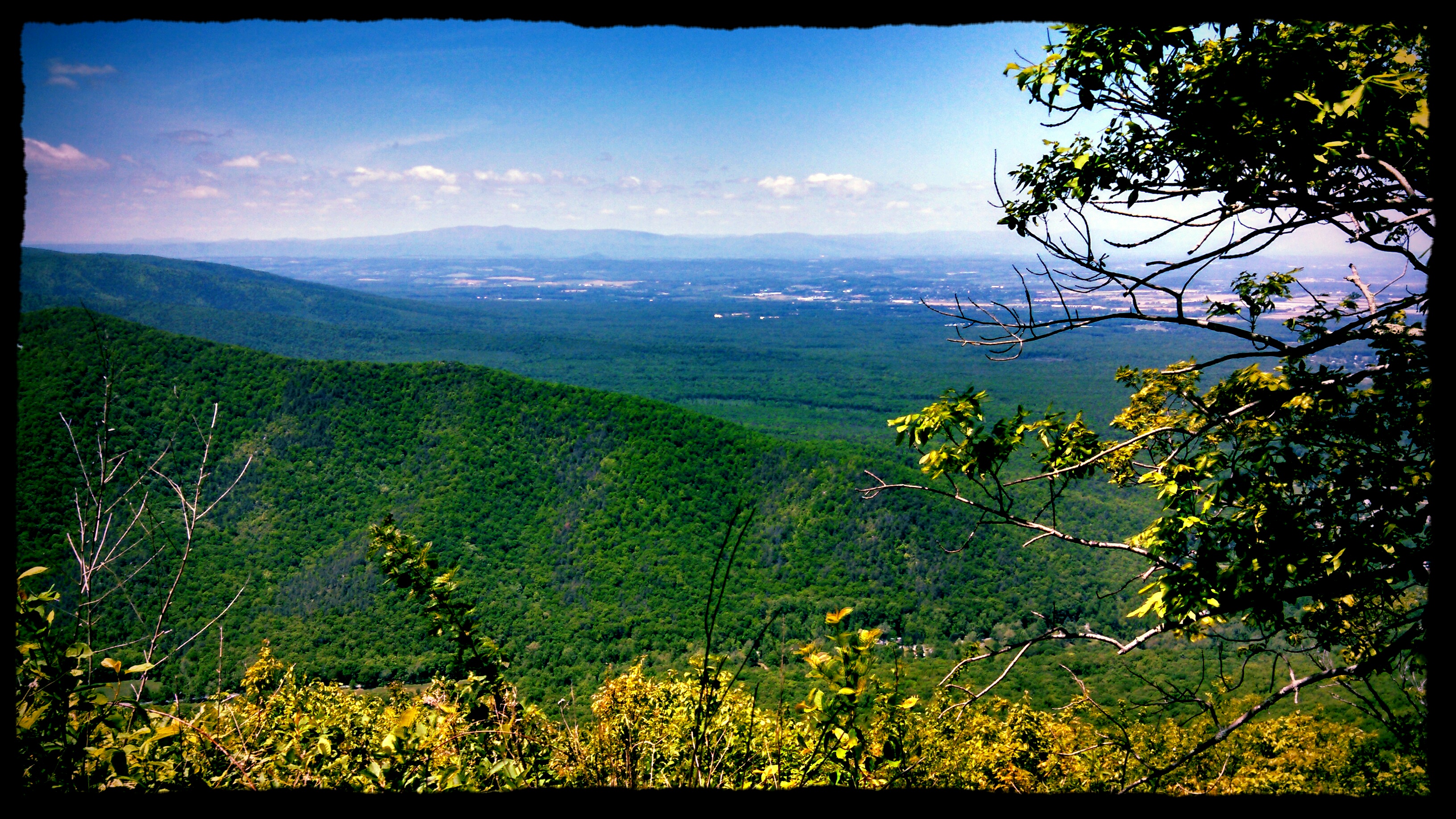
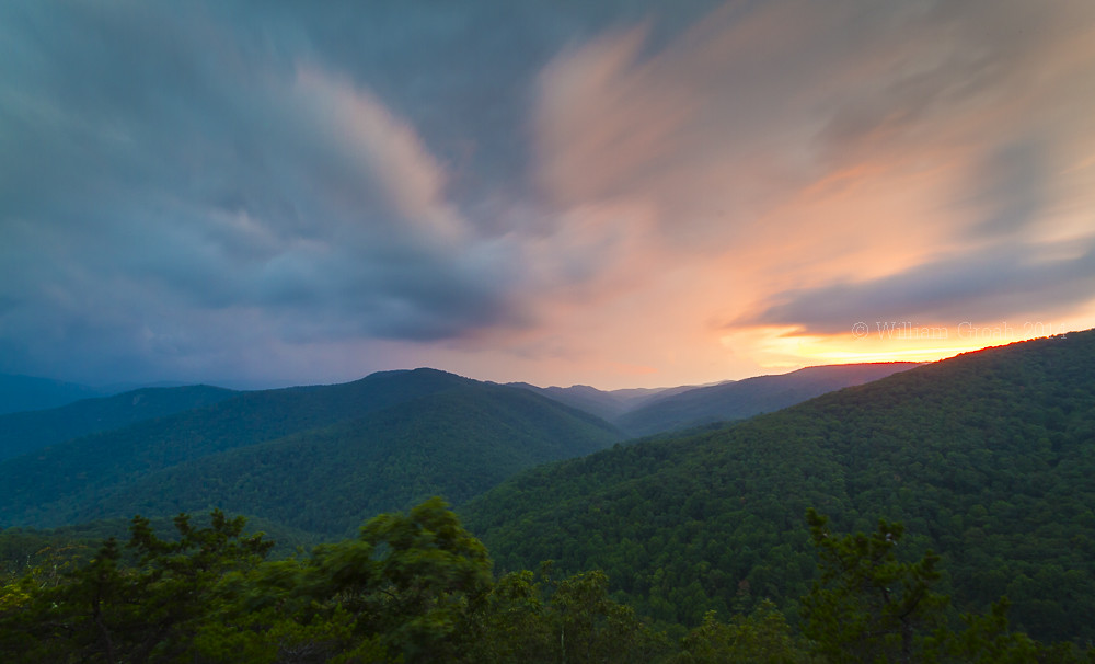
Raven Roost Overlook

Shoot & Score_04
Ravens Roost, Blue Ridge Parkway

A skinny red flower— focus stacked— view large—

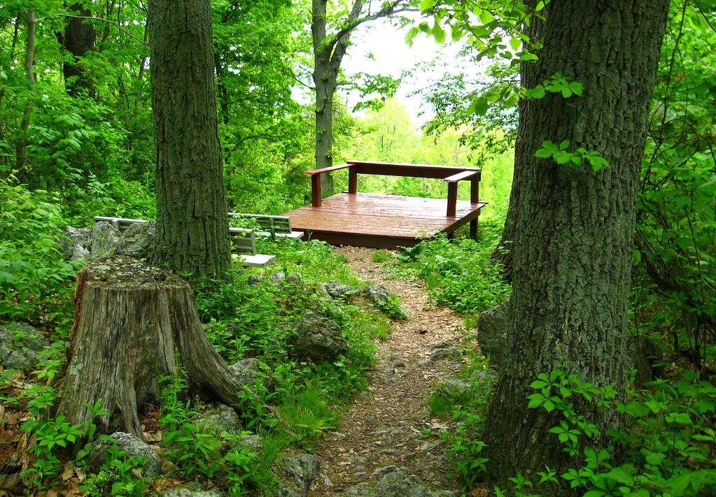
Late Winter Platform View

Trinity Episcopal Church 2
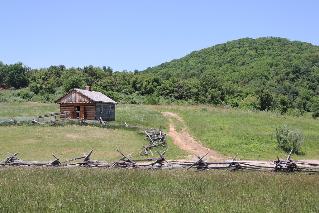
Mountain View from McCormick Farm

#kindawesome view @wintergreenresortva #exploremore #ImagesSpeakLouder
Blue Ridge Mountains from McCormick Farm
McCormick Shop
today is a winding road

1600s England - The First Glimpse of the Staunton Frontier Culture Museum (DTB_5447)
Downtown Staunton from Sears Hill

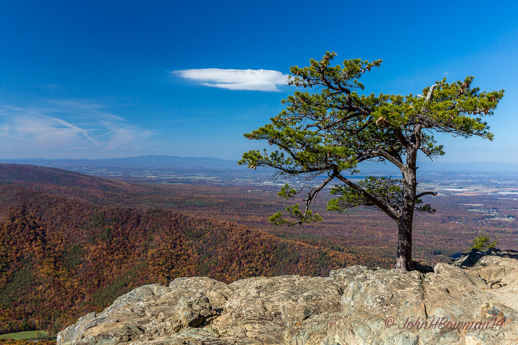
View from Devils Knob
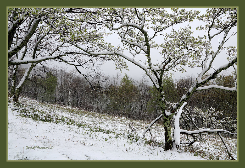
More April Snow
View from atop Betsy Bell Hill
View at McCormick Farm
Betsy Bell Hill
Rained Out
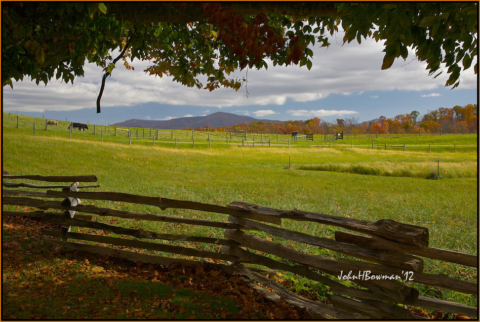
Blue Ridge from McCormick Farm
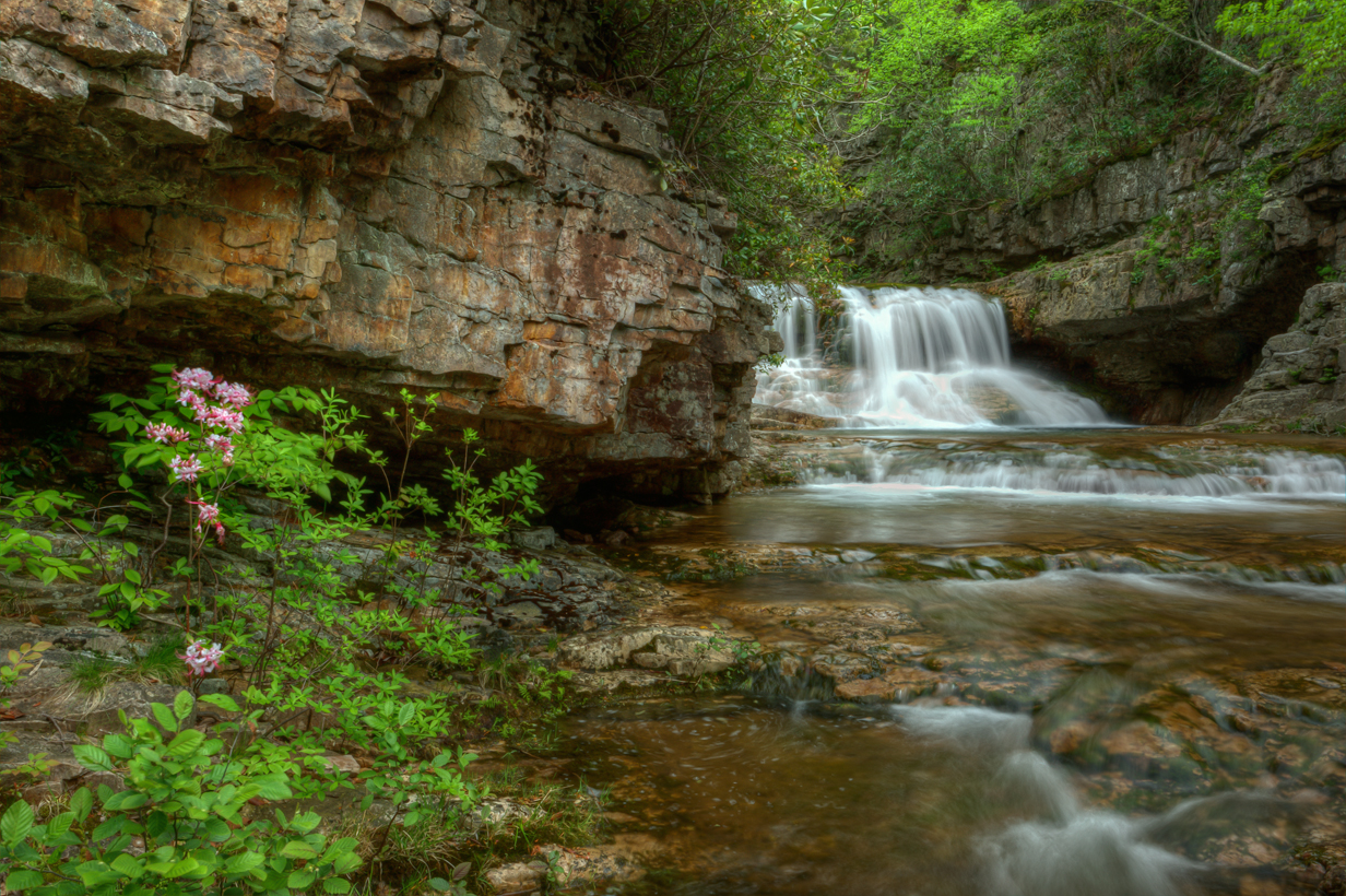
White Rock Falls
Heading Home

Summer Breeze.
Ravens Roost.
Ravens Roost.
St Marys Waterfall-Explore
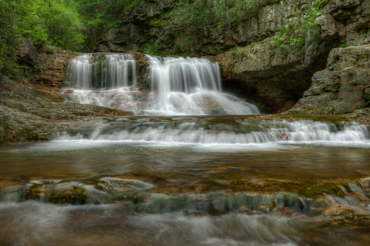
St Marys Waterfall
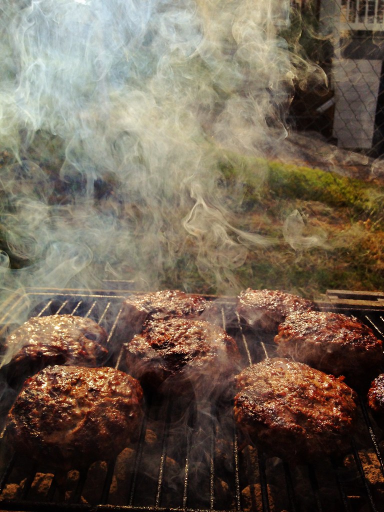
Summer burgers

Color in the Valley.
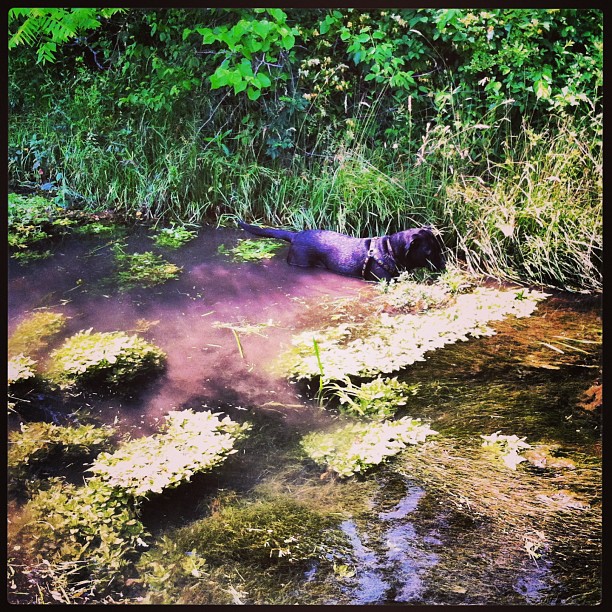
#jorgie river dog
Frontier Culture Museum - Early American Schoolhouse
MBA_6756And8More_tonemapped_RTCR copy
_X9A3555.jpg
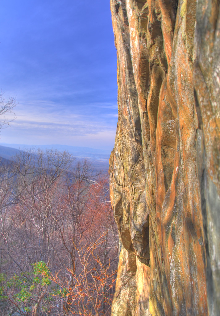
20 Sec. exposure @ 20 minute cliff.

Staunton 2
Life in Shenandoah Valley
Good Morning, Turkey [or Tofurkey] Day!

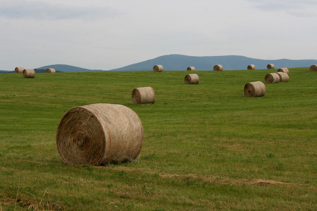
Hay 草堆 1993

Don't stop
Topographic Map of Cranberry Dr, Stuarts Draft, VA, USA
Find elevation by address:

Places near Cranberry Dr, Stuarts Draft, VA, USA:
278 Cranberry Dr
7 Twin Hill Rd, Stuarts Draft, VA, USA
Stuarts Draft, VA, USA
484 Walnut Hills Rd
Stuarts Draft
Howardsville Turnpike, Stuarts Draft, VA, USA
East High Street
Chateau Lane
Lee Hwy, Staunton, VA, USA
Marble Drive
19 Freedom Pl
1088 Augusta Farms Rd
South River
268 Hammond Ln
Lipscomb Rd, Stuarts Draft, VA, USA
Beverley Manor
733 Old Greenville Rd
Staunton, VA, USA
176 Caldwell Ln
92 Rowe Rd
Recent Searches:
- Elevation of Elwyn Dr, Roanoke Rapids, NC, USA
- Elevation of Congressional Dr, Stevensville, MD, USA
- Elevation of Bellview Rd, McLean, VA, USA
- Elevation of Stage Island Rd, Chatham, MA, USA
- Elevation of Shibuya Scramble Crossing, 21 Udagawacho, Shibuya City, Tokyo -, Japan
- Elevation of Jadagoniai, Kaunas District Municipality, Lithuania
- Elevation of Pagonija rock, Kranto 7-oji g. 8"N, Kaunas, Lithuania
- Elevation of Co Rd 87, Jamestown, CO, USA
- Elevation of Tenjo, Cundinamarca, Colombia
- Elevation of Côte-des-Neiges, Montreal, QC H4A 3J6, Canada