Elevation of County Rte 6, Fulton, NY, USA
Location: United States > New York > Oswego County > Fulton >
Longitude: -76.358081
Latitude: 43.3424055
Elevation: 135m / 443feet
Barometric Pressure: 100KPa
Elevation Map:
Satellite Map:
Related Photos:
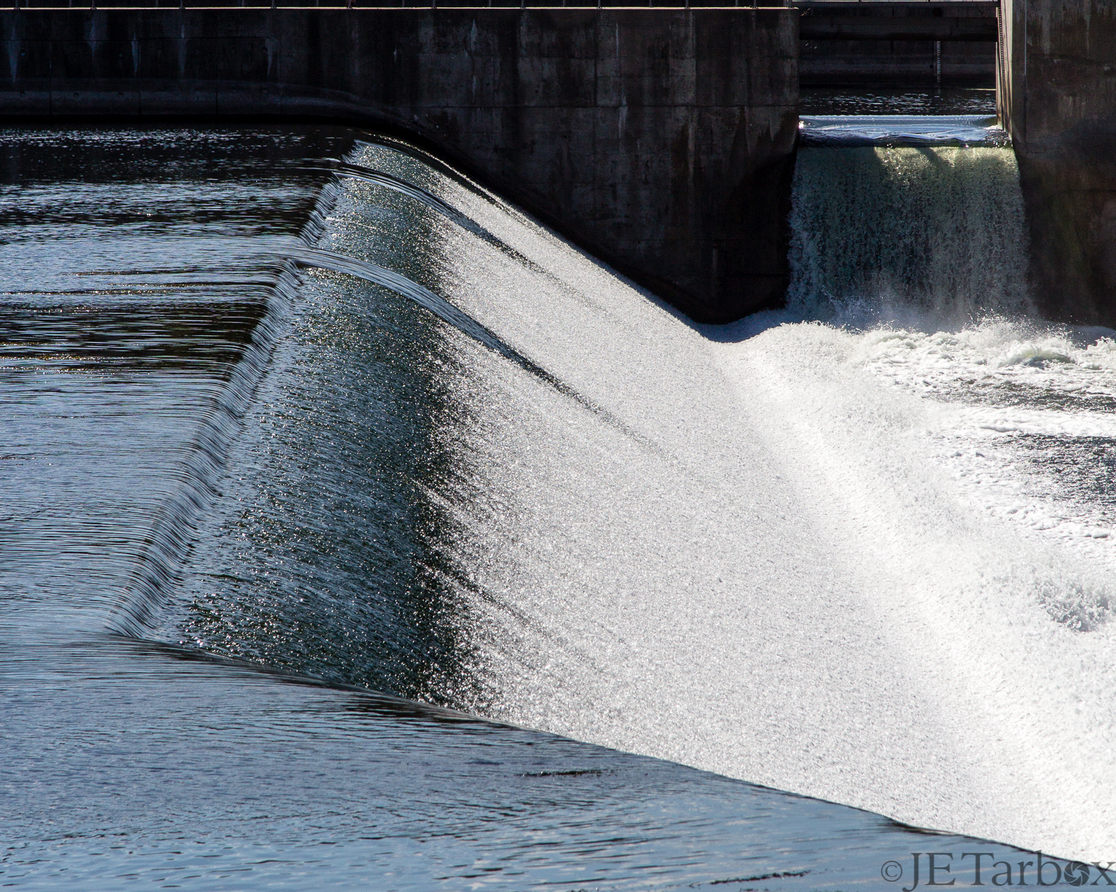
24SEP14: spillway
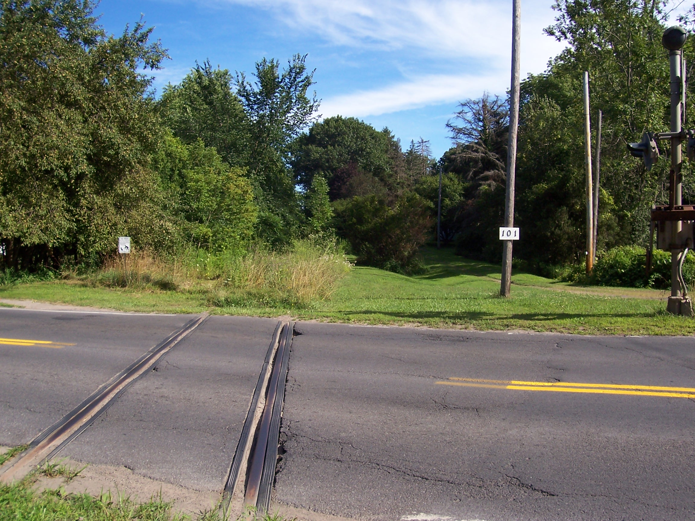
D, L, & W Crossing Minetto, NY

The Roosevelt Hotel ~ NY State Route 49

Cackling Goose with Canada Geese
Another view of todays recon. Love the color. #DetailJohnny#cnyDetailing#SyracuseAutoDetailing#PaintCorrection#PaintSealants#PaintProtection#detailer#DetailersOfInstagram#DetailerOfInstagram#FleetDetailing#ecofriendly#ShowCarDetailing#EventDetai

Good morning

Skies over the I-90 Thruway
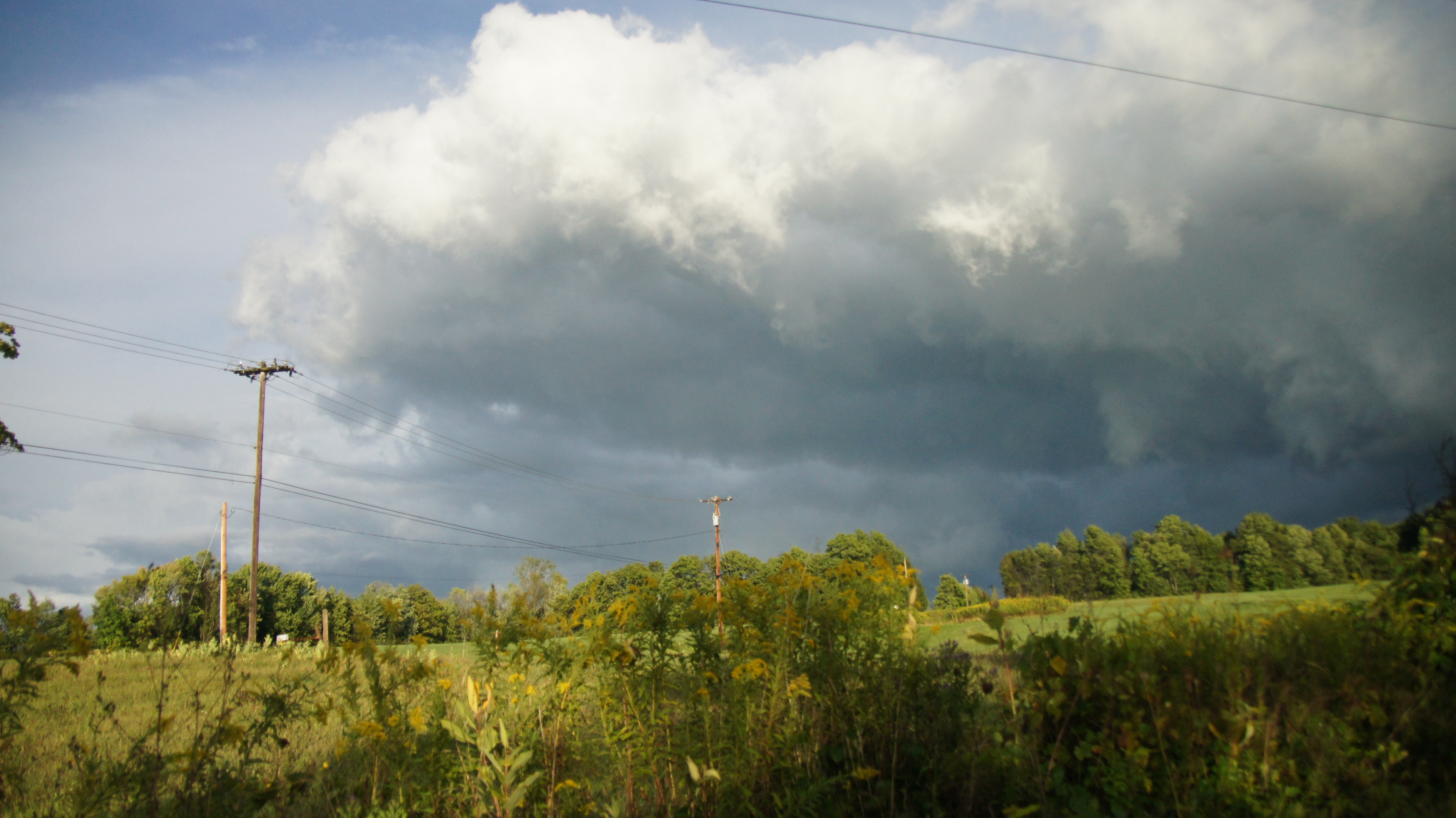
Skies over the I-90 Thruway

Skies over the I-90 Thruway

HDR ICE

IMG_0875.JPG

Oswego River sunset

Spring Pond

Snow Storm
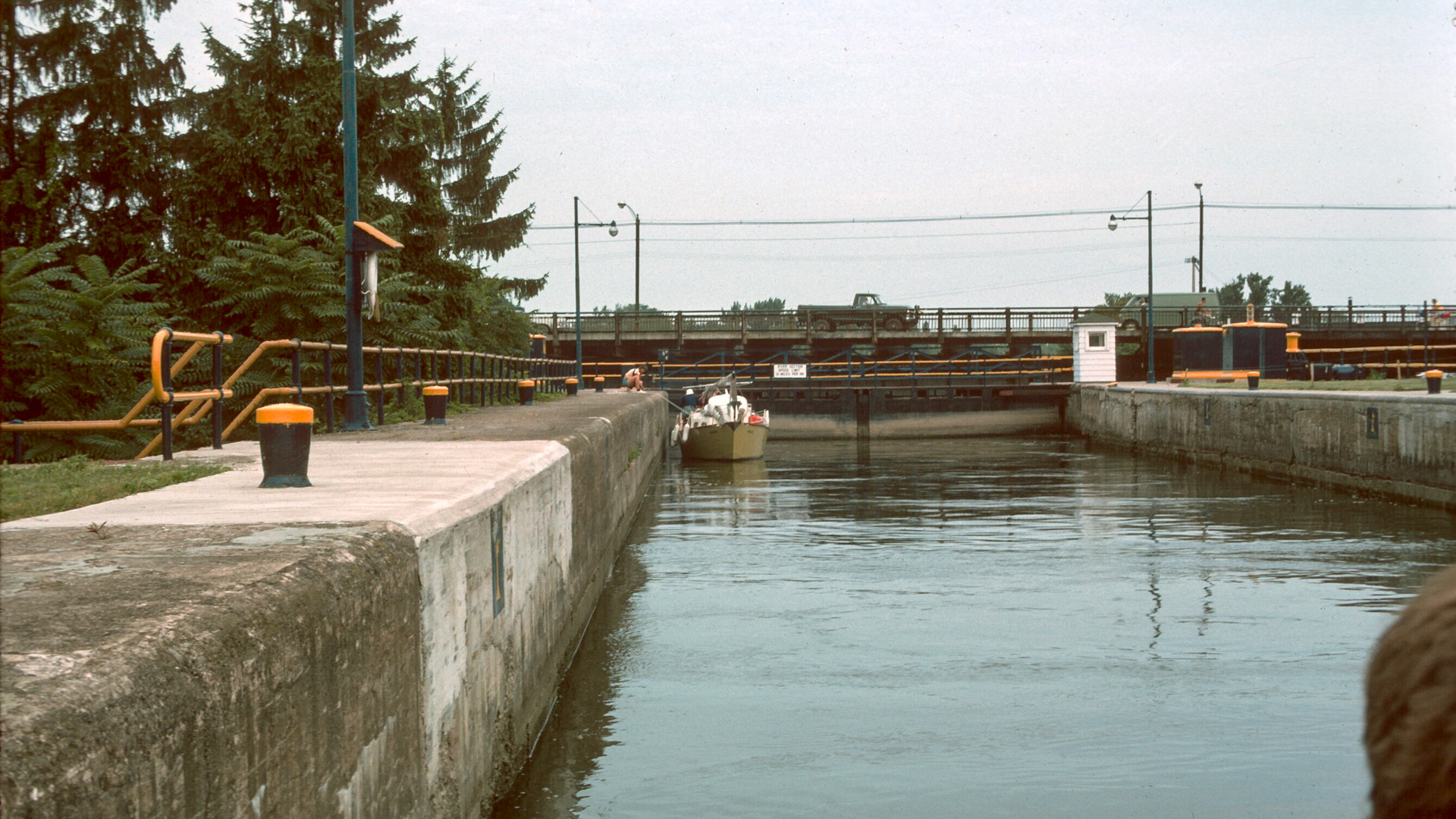
Canal Lock, Downstream, High Water
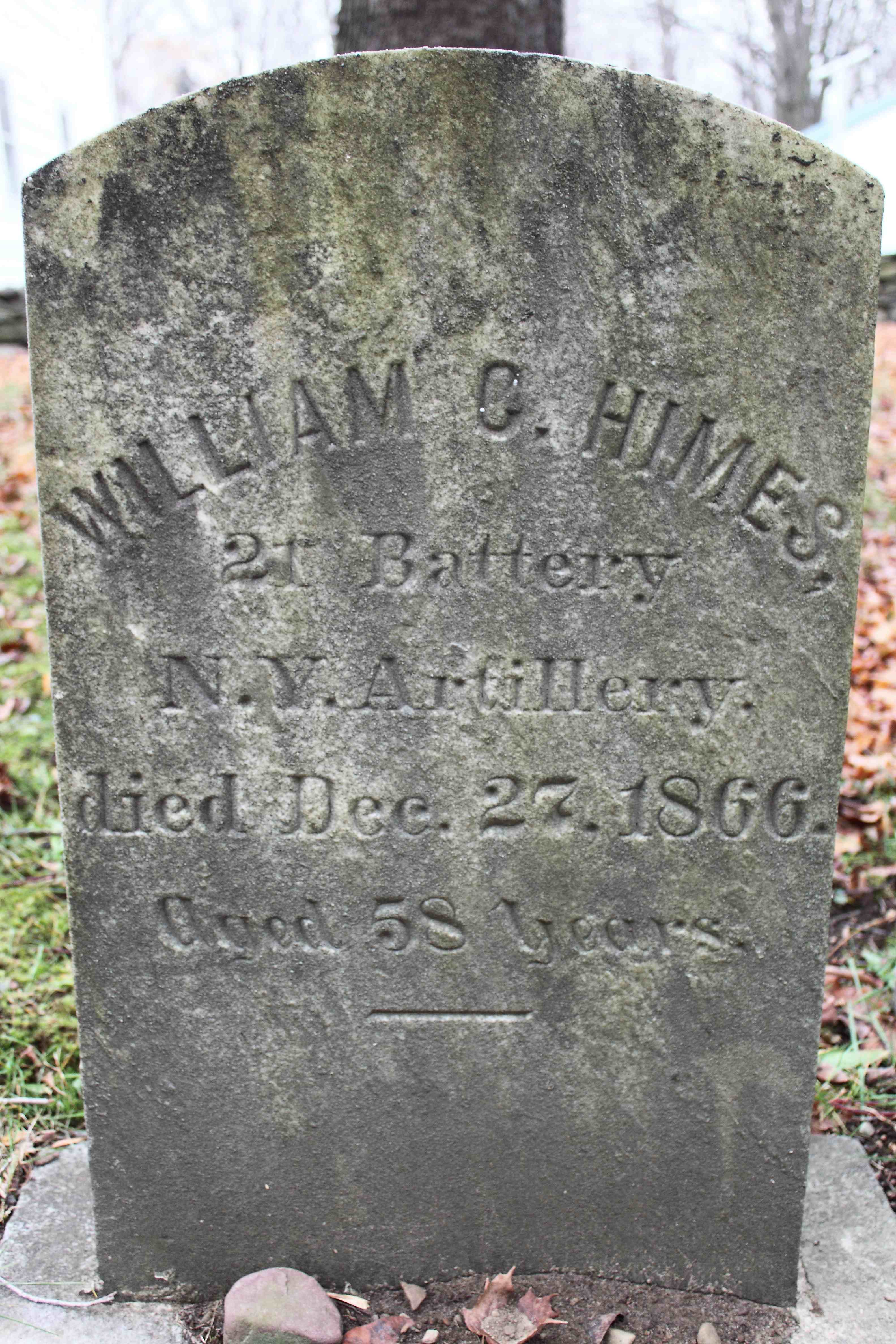
William G Himes

A the top of his lungs

25MAY12: behind lock gates
Topographic Map of County Rte 6, Fulton, NY, USA
Find elevation by address:

Places near County Rte 6, Fulton, NY, USA:
138 Woodridge Ln
551 Baldwin Rd
Fulton Housing Authority
Volney
121 Calkins Rd
130 Calkins Rd
614 Ontario St
462 S 5th St
42 Primrose Ave
510 Oneida St
165 Calkins Rd
Gilbert Mills Rd, Phoenix, NY, USA
600 S 1st St
Fulton
446 County Rte 6
68 Clifford Rd
County Route 57
County Rte 14, Fulton, NY, USA
County Route 59
Granby
Recent Searches:
- Elevation of Groblershoop, South Africa
- Elevation of Power Generation Enterprises | Industrial Diesel Generators, Oak Ave, Canyon Country, CA, USA
- Elevation of Chesaw Rd, Oroville, WA, USA
- Elevation of N, Mt Pleasant, UT, USA
- Elevation of 6 Rue Jules Ferry, Beausoleil, France
- Elevation of Sattva Horizon, 4JC6+G9P, Vinayak Nagar, Kattigenahalli, Bengaluru, Karnataka, India
- Elevation of Great Brook Sports, Gold Star Hwy, Groton, CT, USA
- Elevation of 10 Mountain Laurels Dr, Nashua, NH, USA
- Elevation of 16 Gilboa Ln, Nashua, NH, USA
- Elevation of Laurel Rd, Townsend, TN, USA