Elevation of Fulton, NY, USA
Location: United States > New York > Oswego County >
Longitude: -76.417158
Latitude: 43.3228462
Elevation: 110m / 361feet
Barometric Pressure: 100KPa
Elevation Map:
Satellite Map:
Related Photos:
24SEP14: spillway

The Roosevelt Hotel ~ NY State Route 49
D, L, & W Crossing Minetto, NY

Cackling Goose with Canada Geese

Another view of todays recon. Love the color. #DetailJohnny#cnyDetailing#SyracuseAutoDetailing#PaintCorrection#PaintSealants#PaintProtection#detailer#DetailersOfInstagram#DetailerOfInstagram#FleetDetailing#ecofriendly#ShowCarDetailing#EventDetai

Harlequin Duck
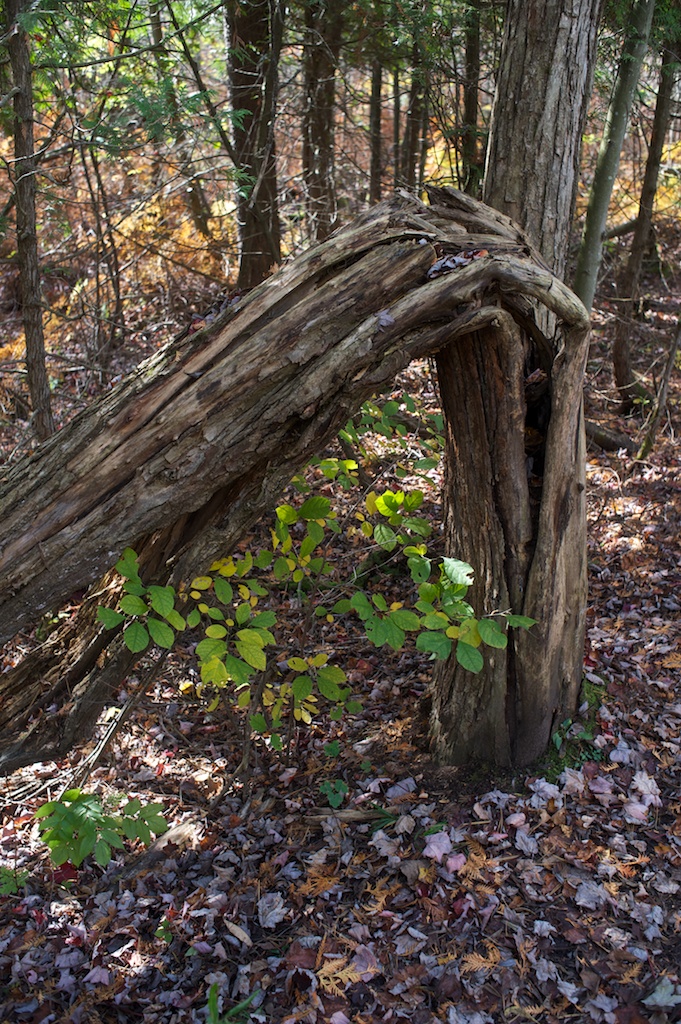
Deep Woods Trail

2014-10-17 15.05.52

Skies over the I-90 Thruway

Chipmunk, fully loaded
Skies over the I-90 Thruway

2014-10-17 15.29.33

2014-10-17 15.01.56

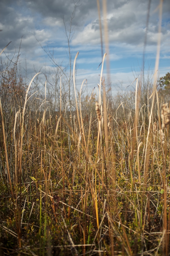
Out for a walk on a fall day..

2014-10-17 15.29.36

2014-10-17 15.05.29

HDR ICE

Skies over the I-90 Thruway
Beaver Lake Nature Center

2014-10-17 15.34.58

Carpeted Forest

2014-10-17 15.02.04

2014-10-17 15.35.11
Beaver Lake Nature Center

Pine Cathedral

2014-10-17 15.51.50

2014-10-17 15.29.21
Topographic Map of Fulton, NY, USA
Find elevation by address:

Places in Fulton, NY, USA:
Places near Fulton, NY, USA:
510 Oneida St
614 Ontario St
462 S 5th St
600 S 1st St
42 Primrose Ave
Fulton Housing Authority
165 Calkins Rd
121 Calkins Rd
130 Calkins Rd
Granby Center
138 Woodridge Ln
Granby
Volney
County Rte 6, Fulton, NY, USA
County Rte 14, Fulton, NY, USA
551 Baldwin Rd
County Rte 57, Oswego, NY, USA
Minetto
Rathburn Rd, Oswego, NY, USA
446 County Rte 6
Recent Searches:
- Elevation of East W.T. Harris Boulevard, E W.T. Harris Blvd, Charlotte, NC, USA
- Elevation of West Sugar Creek, Charlotte, NC, USA
- Elevation of Wayland, NY, USA
- Elevation of Steadfast Ct, Daphne, AL, USA
- Elevation of Lagasgasan, X+CQH, Tiaong, Quezon, Philippines
- Elevation of Rojo Ct, Atascadero, CA, USA
- Elevation of Flagstaff Drive, Flagstaff Dr, North Carolina, USA
- Elevation of Avery Ln, Lakeland, FL, USA
- Elevation of Woolwine, VA, USA
- Elevation of Lumagwas Diversified Farmers Multi-Purpose Cooperative, Lumagwas, Adtuyon, RV32+MH7, Pangantucan, Bukidnon, Philippines