Elevation of County Road 41.7, County Rd 41.7, Aguilar, CO, USA
Location: United States > Colorado > Las Animas County > Aguilar >
Longitude: -104.83505
Latitude: 37.2765973
Elevation: 2263m / 7425feet
Barometric Pressure: 77KPa
Elevation Map:
Satellite Map:
Related Photos:
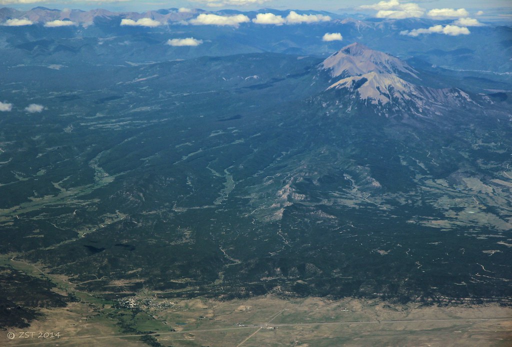
Aguilar & Spanish Peaks

Spanish Peaks
2016_10_01_9529-HDR.jpg

Spanish Peaks
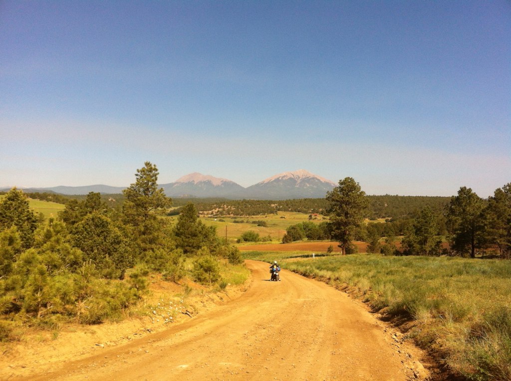
trans am trail CO
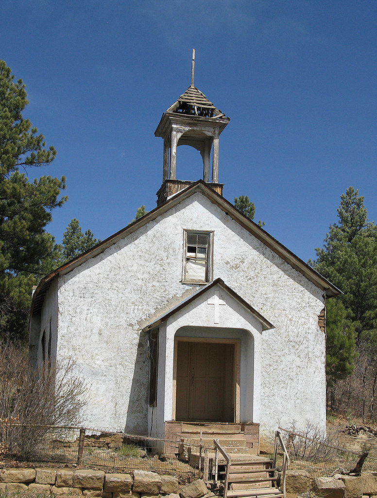
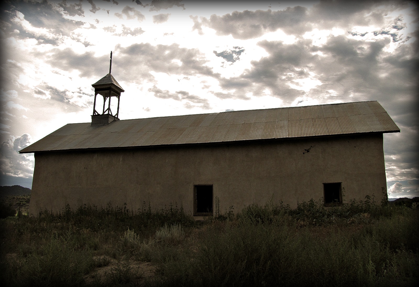
Mount Carmel Chapel: Trujillo Creek: West of Aguilar, Colorado (CO)
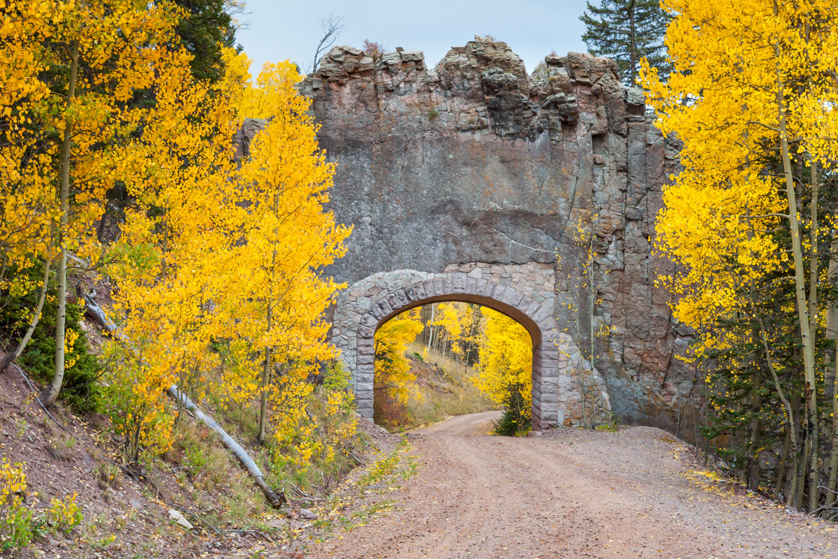
Church in Picketwire Valley

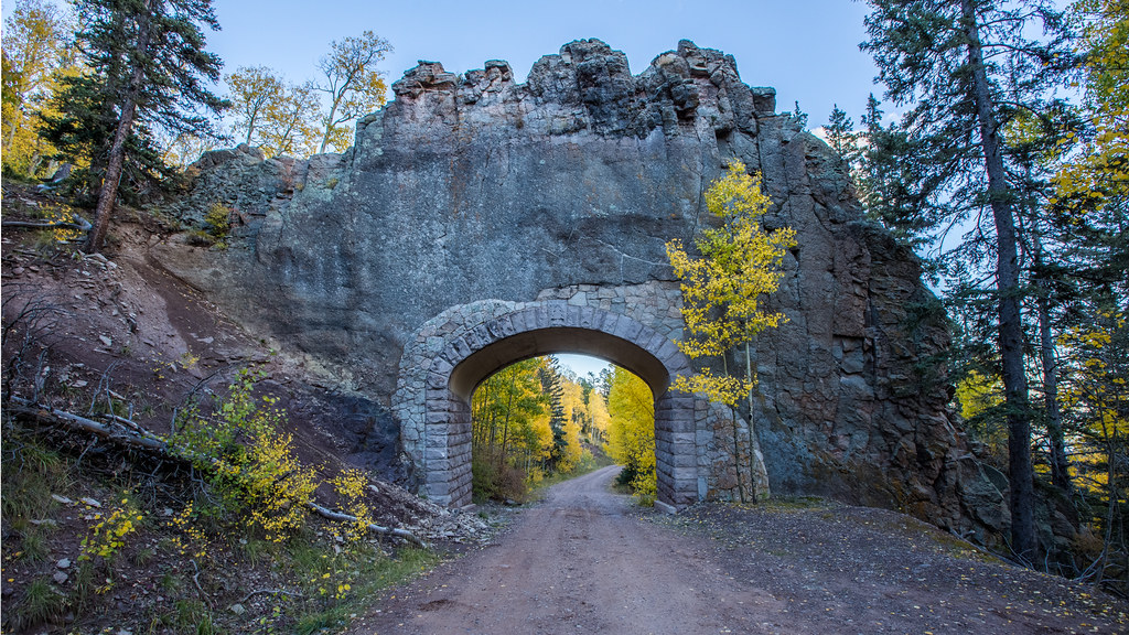
Remote Past
Apishapa Arch
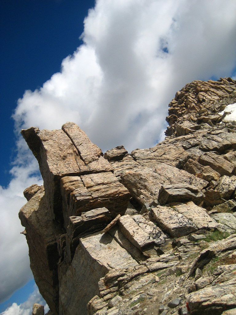
At the Peak
Topographic Map of County Road 41.7, County Rd 41.7, Aguilar, CO, USA
Find elevation by address:

Places near County Road 41.7, County Rd 41.7, Aguilar, CO, USA:
19901 County Rd 41.7
19901 County Rd 41.7
County Road 48.8
Aguilar, CO, USA
Jewell Overlook
Jewell Overlook Road
18908 County Rd 31.9
18908 County Rd 31.9
Dana Point Road
23880 Co Rd 46
23880 Co Rd 46
23880 Co Rd 46
East Spanish Peak
Mount Massive Drive
19558 Aspen Rose Dr
Spanish Peaks Scout Ranch
5081 Co-12
Colorado 12
Colorado 12
Colorado 12
Recent Searches:
- Elevation of Tenjo, Cundinamarca, Colombia
- Elevation of Côte-des-Neiges, Montreal, QC H4A 3J6, Canada
- Elevation of Bobcat Dr, Helena, MT, USA
- Elevation of Zu den Ihlowbergen, Althüttendorf, Germany
- Elevation of Badaber, Peshawar, Khyber Pakhtunkhwa, Pakistan
- Elevation of SE Heron Loop, Lincoln City, OR, USA
- Elevation of Slanický ostrov, 01 Námestovo, Slovakia
- Elevation of Spaceport America, Co Rd A, Truth or Consequences, NM, USA
- Elevation of Warwick, RI, USA
- Elevation of Fern Rd, Whitmore, CA, USA