Elevation of CO-12, Weston, CO, USA
Location: United States > Colorado > Costilla County > Weston >
Longitude: -105.04508
Latitude: 37.2739231
Elevation: -10000m / -32808feet
Barometric Pressure: 295KPa
Elevation Map:
Satellite Map:
Related Photos:

Sangre de Cristo Mountains

Portrait of a Hogback
low ceiling

Aguilar & Spanish Peaks

West Spanish Peak

Awesome view

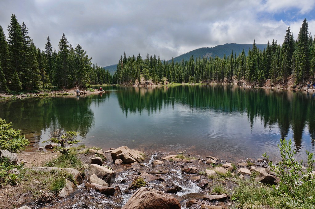
Yet another lake view

Tracking Milk Over West Spanish Peak
Cuchara Pass

The Rockies

HDR Quakies

West Spanish Peak
Even more Sangres
Ghost Forest

West Peak at Dawn
Bear Lake
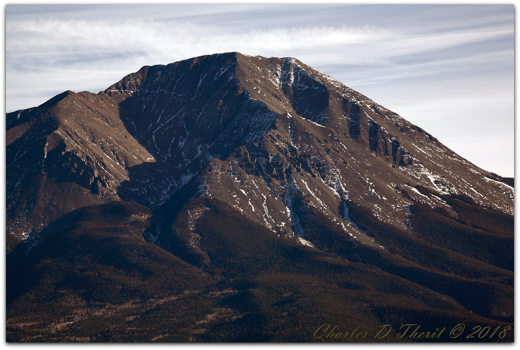
West Spanish Peak

one fish, two fish,

Spanish Peaks

Bear Lake Campground

The CUCHARAS

Spanish Peaks, CO

Bear Lake

Bear Lake Campground
Topographic Map of CO-12, Weston, CO, USA
Find elevation by address:

Places near CO-12, Weston, CO, USA:
Colorado 12
Colorado 12
Colorado 12
4170 Co-12
4170 Co-12
4170 Co-12
4170 Co-12
4170 Co-12
4170 Co-12
4170 Co-12
4170 Co-12
19558 Aspen Rose Dr
Dana Point Road
110 S Lake Rd
55 Ruby Ln
110 N Lake Rd
200 S Lake Rd
South White Peak
Boyd Mountain
18908 County Rd 31.9
Recent Searches:
- Elevation of Kreuzburger Weg 13, Düsseldorf, Germany
- Elevation of Gateway Blvd SE, Canton, OH, USA
- Elevation of East W.T. Harris Boulevard, E W.T. Harris Blvd, Charlotte, NC, USA
- Elevation of West Sugar Creek, Charlotte, NC, USA
- Elevation of Wayland, NY, USA
- Elevation of Steadfast Ct, Daphne, AL, USA
- Elevation of Lagasgasan, X+CQH, Tiaong, Quezon, Philippines
- Elevation of Rojo Ct, Atascadero, CA, USA
- Elevation of Flagstaff Drive, Flagstaff Dr, North Carolina, USA
- Elevation of Avery Ln, Lakeland, FL, USA