Elevation of County Rd D, Eland, WI, USA
Location: United States > Wisconsin > Marathon County > Elderon >
Longitude: -89.262859
Latitude: 44.849922
Elevation: 388m / 1273feet
Barometric Pressure: 97KPa
Elevation Map:
Satellite Map:
Related Photos:

Stay Away

Passenger Window 1

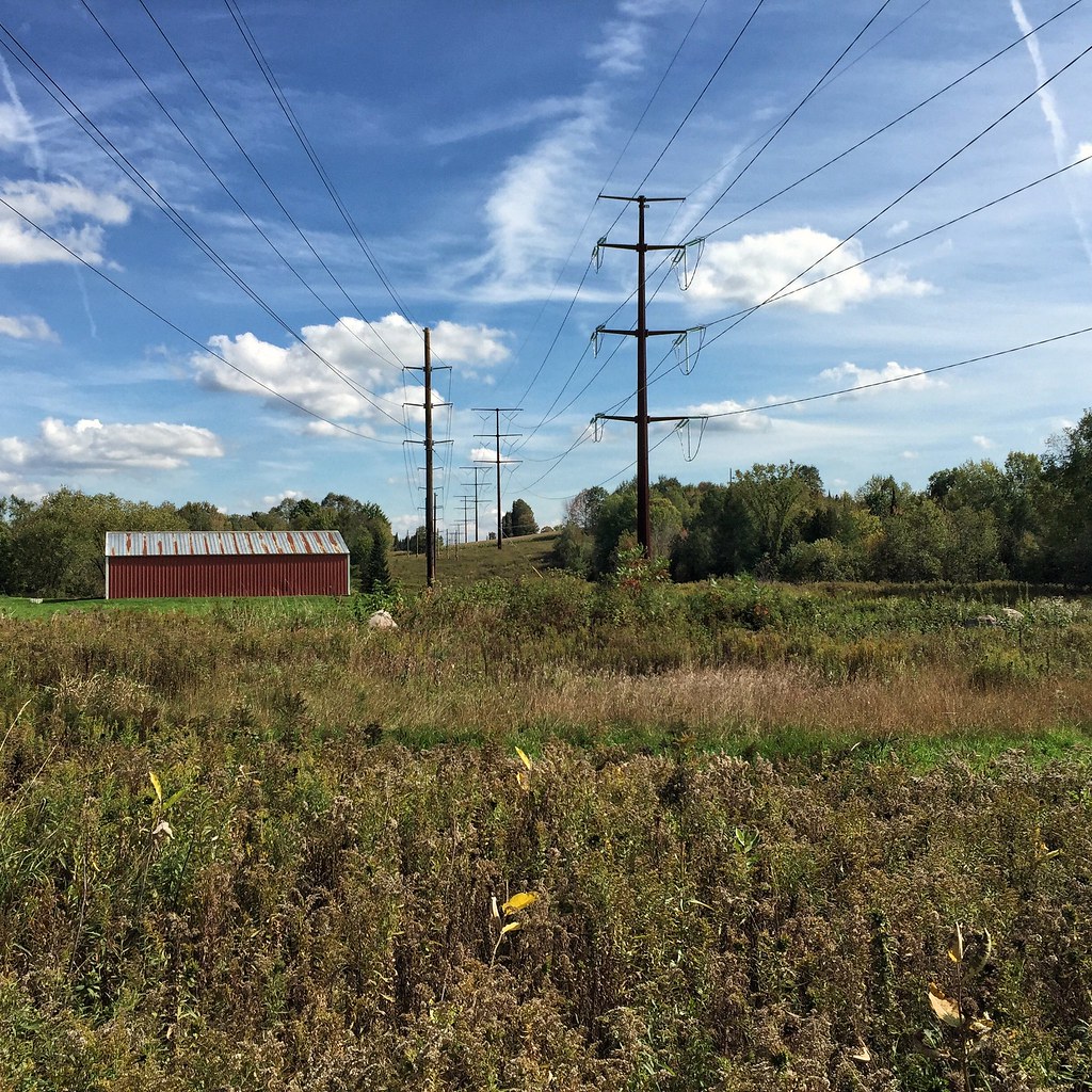
Driving Across Wisconsin 1

Sunset over Mayflower Lake

Fall Reflections

Playing the Slots

Corner Bar Art
Day at the office.

8/15 A must stop for the smoked meats!

Shawn Conrad20150305--2.JPG

Shawn Conrad20150305-.JPG

Day 010

Day 009

Another day is winter paradise.
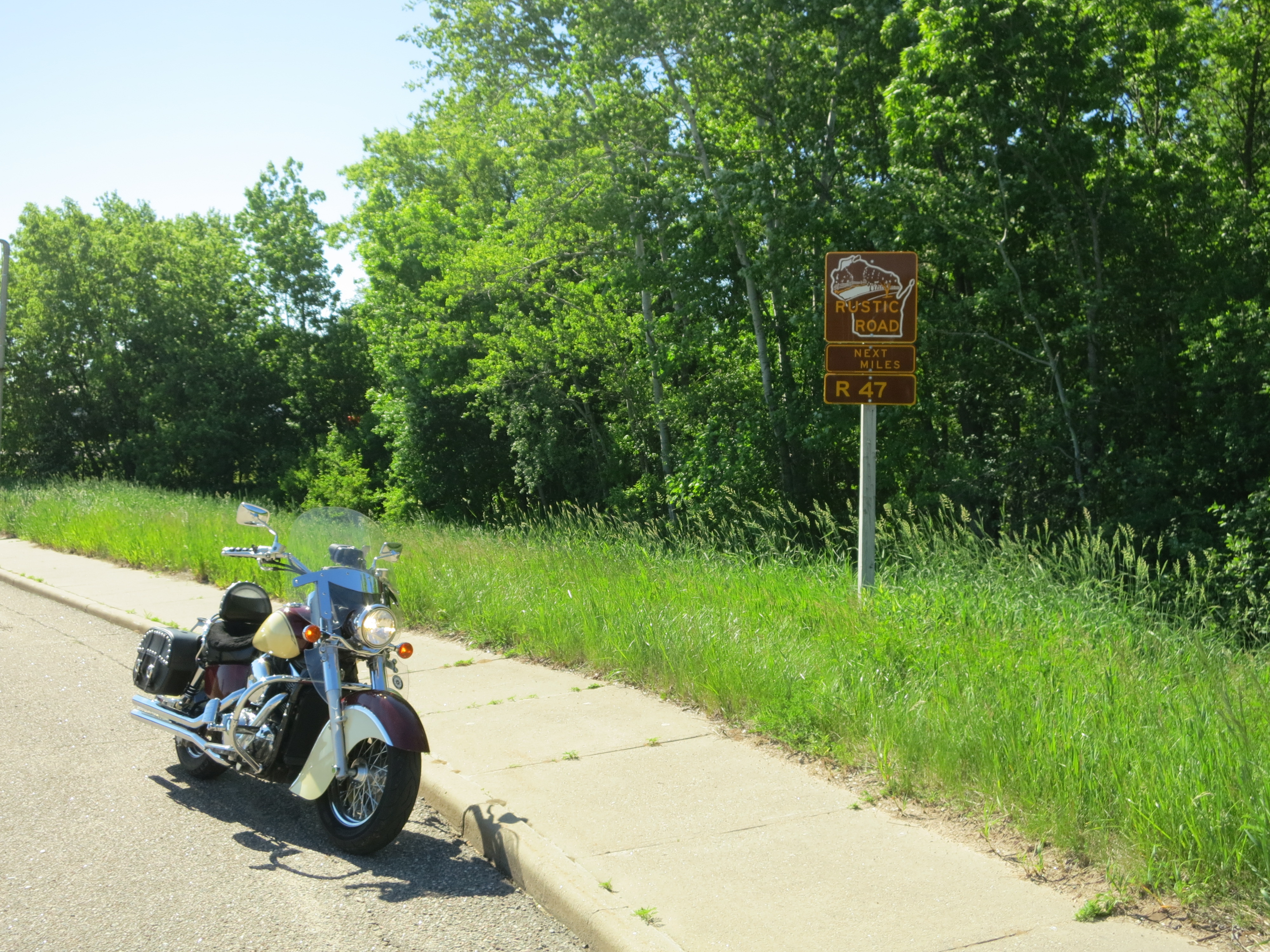
06-13-2014 13 Rustic Road R47
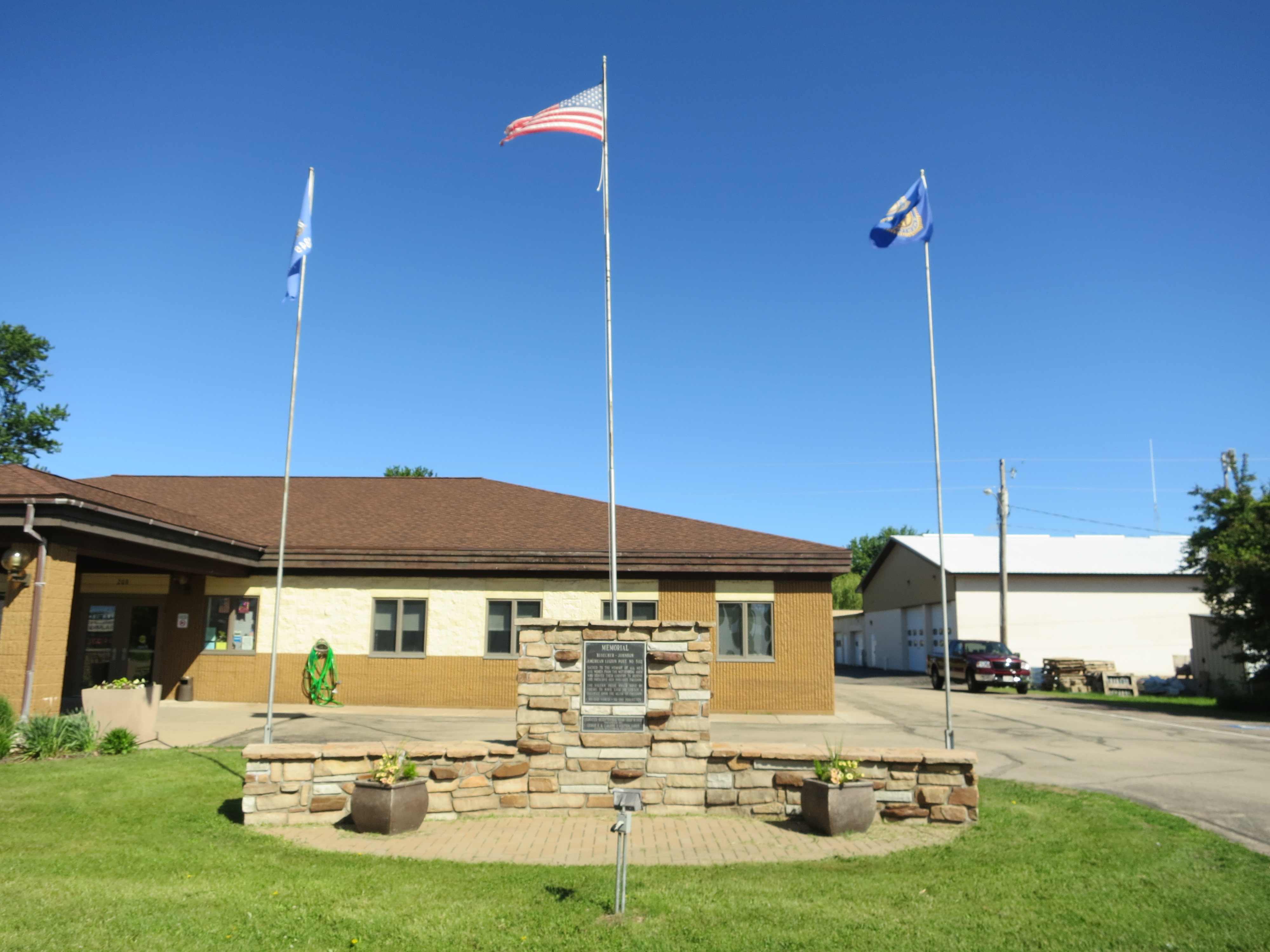
06-13-2014 12 Wittenburg Memorial
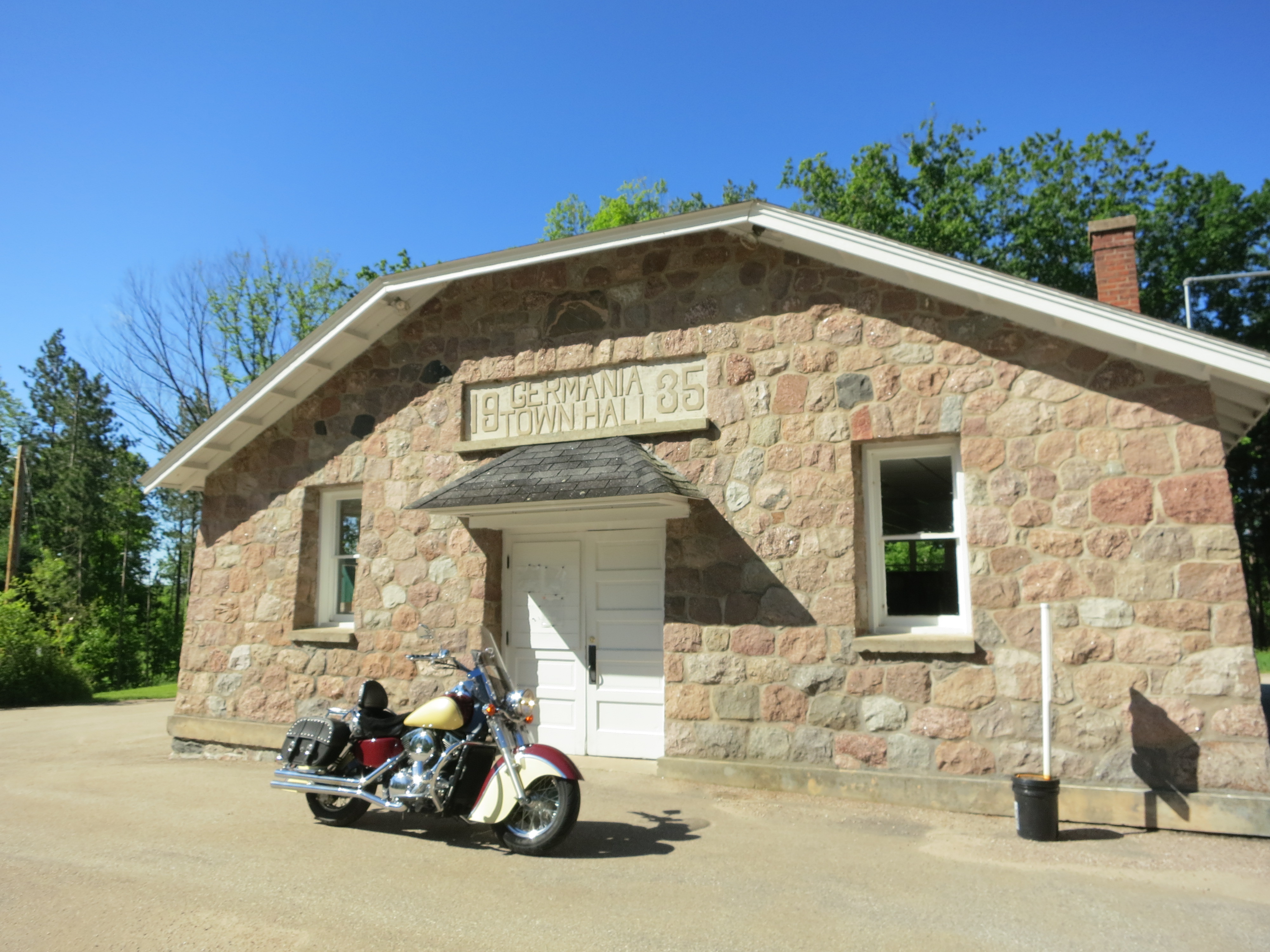
06-13-2014 11 Germania,WI
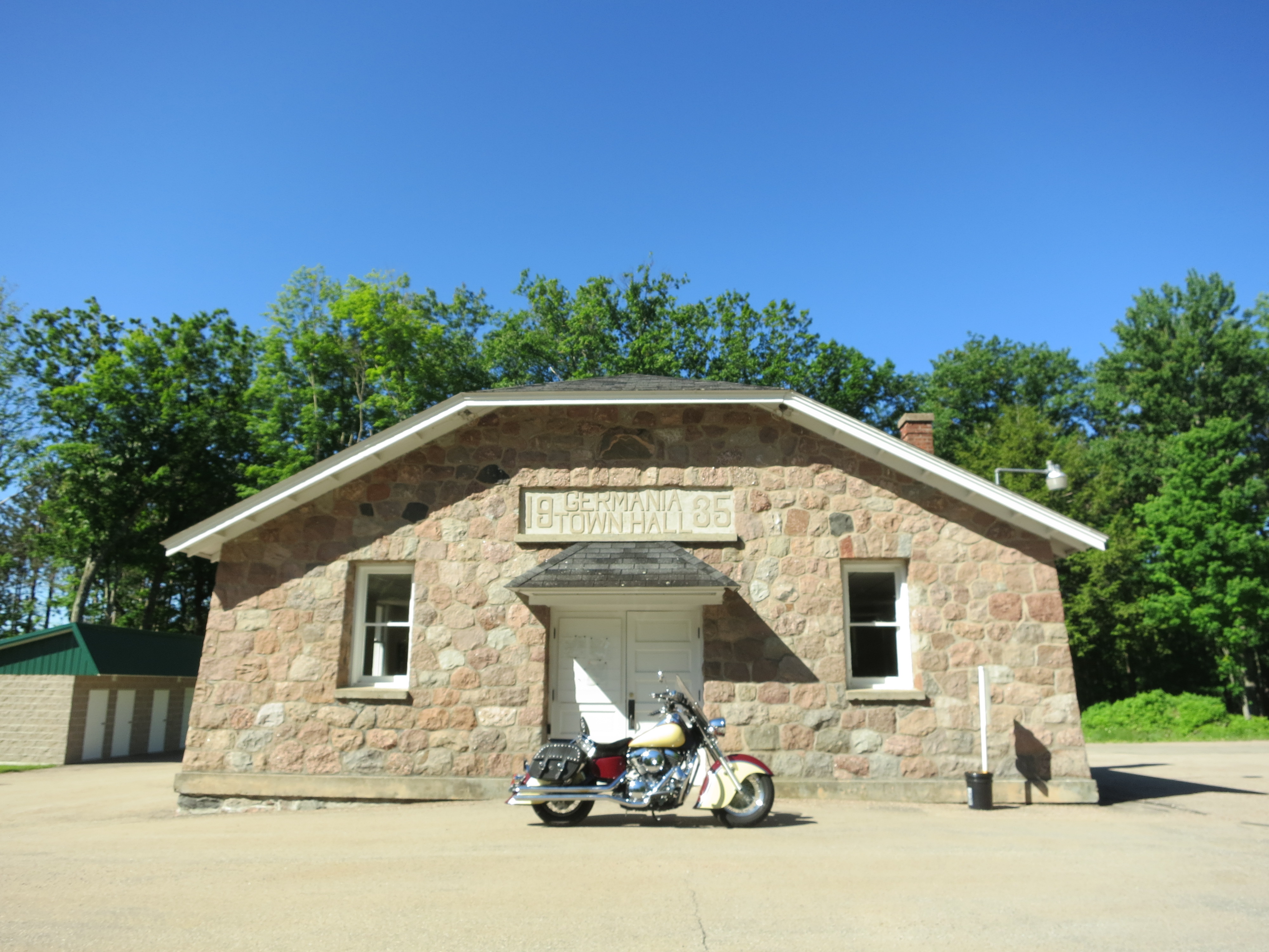
06-13-2014 10 Germania,WI

Muralist's toolkit

Wittenberg Wall 1

In the Coffee Shop

Wittenberg Wall 2

Wittenberg Wall 3

C&NW AS415 #1487 7-8-75
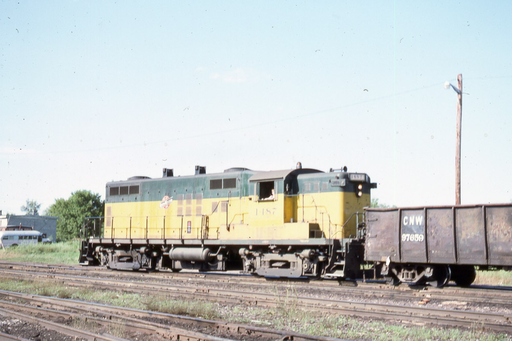
C&NW AS415 #1487 7-8-75
Topographic Map of County Rd D, Eland, WI, USA
Find elevation by address:

Places near County Rd D, Eland, WI, USA:
N543
Elderon
Norrie
N Genesee St, Wittenberg, WI, USA
Birnamwood
Main St, Birnamwood, WI, USA
Ringle
Ringle
R12982
Alban
N3204 Tower Rd
N3286 Tower Rd
County Rd A, Rosholt, WI, USA
7355 County Line Dr
Rosholt
150 Washington Ave
Cedar St, Tigerton, WI, USA
N10999 Helgeson Rd
Harrison
Maplewood Drive
Recent Searches:
- Elevation of Corso Fratelli Cairoli, 35, Macerata MC, Italy
- Elevation of Tallevast Rd, Sarasota, FL, USA
- Elevation of 4th St E, Sonoma, CA, USA
- Elevation of Black Hollow Rd, Pennsdale, PA, USA
- Elevation of Oakland Ave, Williamsport, PA, USA
- Elevation of Pedrógão Grande, Portugal
- Elevation of Klee Dr, Martinsburg, WV, USA
- Elevation of Via Roma, Pieranica CR, Italy
- Elevation of Tavkvetili Mountain, Georgia
- Elevation of Hartfords Bluff Cir, Mt Pleasant, SC, USA