Elevation of County Line Dr, Rosholt, WI, USA
Location: United States > Wisconsin > Portage County > Sharon > Rosholt >
Longitude: -89.4152
Latitude: 44.6826
Elevation: 395m / 1296feet
Barometric Pressure: 97KPa
Elevation Map:
Satellite Map:
Related Photos:

Aerial View Of Some Classic Tractors.
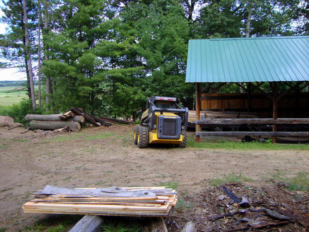
View Of Skidsteer Looking Out School House Window.

106-365 Snow Blanket in WI

20150609 Custer Rosholt (Portage County), Wisconsin - 19
20150609 Custer Rosholt (Portage County), Wisconsin - 24
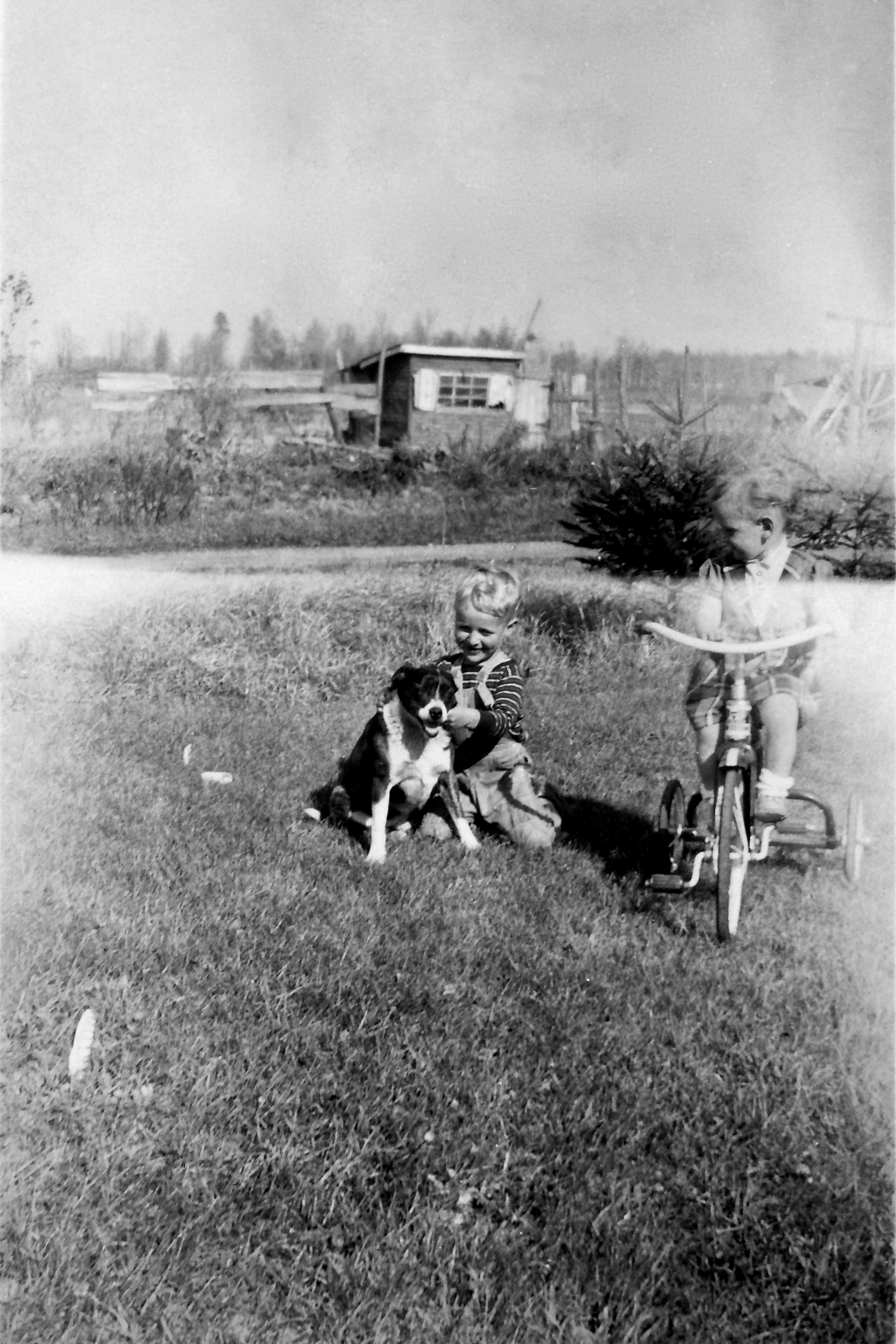
Eugene Knapp and Delores (Knapp) Brunner - undated 4X6

Monarch Butterfly
20140612 House, Old, Interesting; Custer, Wisconsin - 1
20150609 Custer Rosholt (Portage County), Wisconsin - 30
20140612 House, Old, Interesting; Custer, Wisconsin - 4
Topographic Map of County Line Dr, Rosholt, WI, USA
Find elevation by address:

Places near County Line Dr, Rosholt, WI, USA:
4095 County Rd J
County Rd J, Custer, WI, USA
Sharon
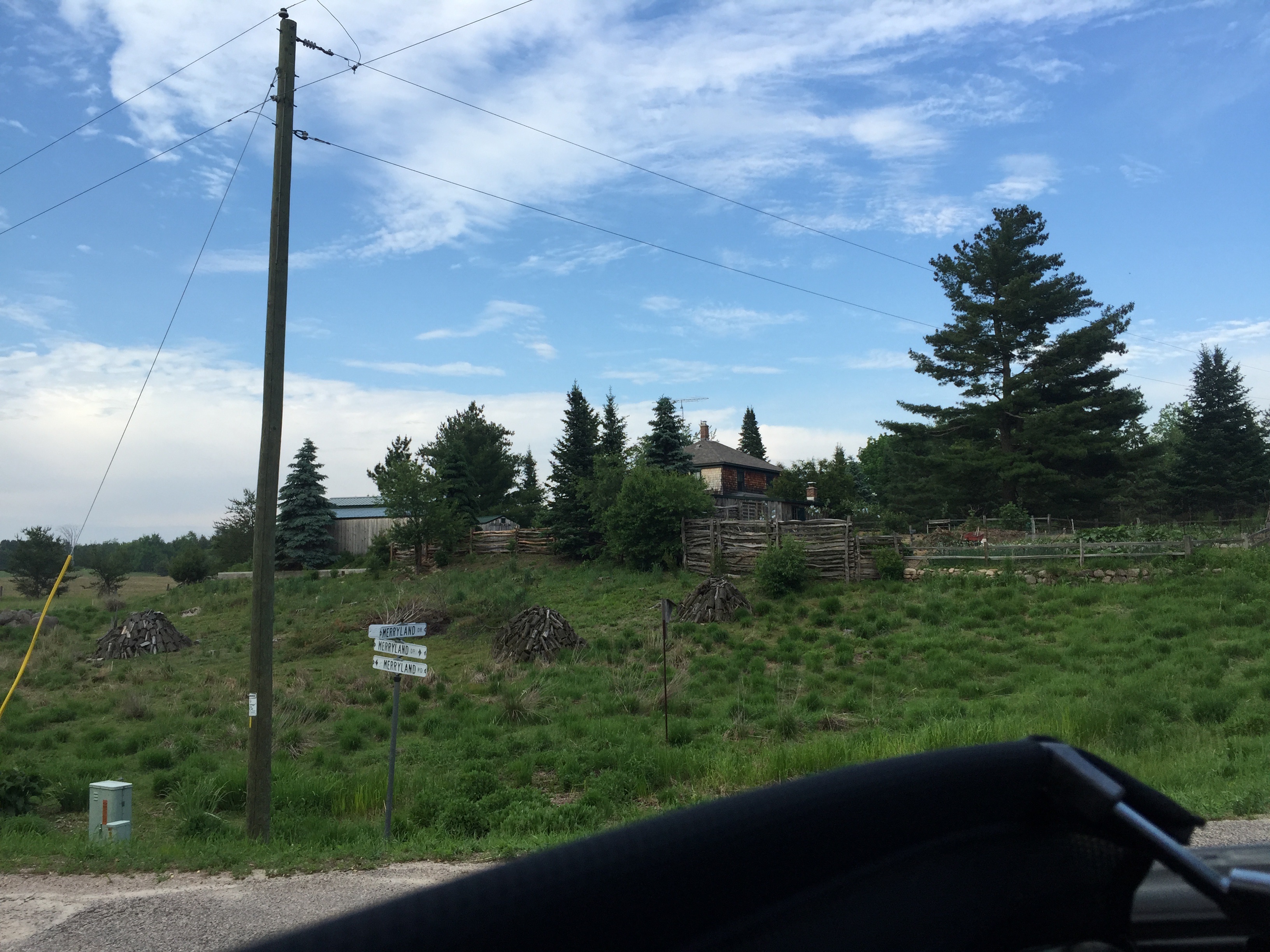
Merryland Dr, Rosholt, WI, USA
County Rd Z, Custer, WI, USA
Dewey Dr, Stevens Point, WI, USA
Rosholt
150 Washington Ave
County Rd A, Rosholt, WI, USA
5277 Jordan Rd
5277 Jordan Rd
5260 Ann Marie Ct
Ann Marie Court
Alban
Custer
Stockton
6864 Red Fox Trail
Elderon
1938 Sunset Lake Rd
Sunset Lake Road
Recent Searches:
- Elevation of Vista Blvd, Sparks, NV, USA
- Elevation of 15th Ave SE, St. Petersburg, FL, USA
- Elevation of Beall Road, Beall Rd, Florida, USA
- Elevation of Leguwa, Nepal
- Elevation of County Rd, Enterprise, AL, USA
- Elevation of Kolchuginsky District, Vladimir Oblast, Russia
- Elevation of Shustino, Vladimir Oblast, Russia
- Elevation of Lampiasi St, Sarasota, FL, USA
- Elevation of Elwyn Dr, Roanoke Rapids, NC, USA
- Elevation of Congressional Dr, Stevensville, MD, USA