Elevation of County Rd C, South Range, WI, USA
Location: United States > Wisconsin > Douglas County >
Longitude: -91.982548
Latitude: 46.607269
Elevation: 234m / 768feet
Barometric Pressure: 99KPa
Elevation Map:
Satellite Map:
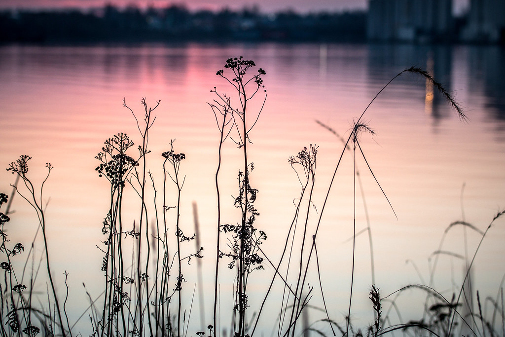
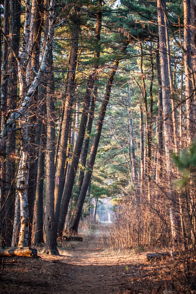
Related Photos:
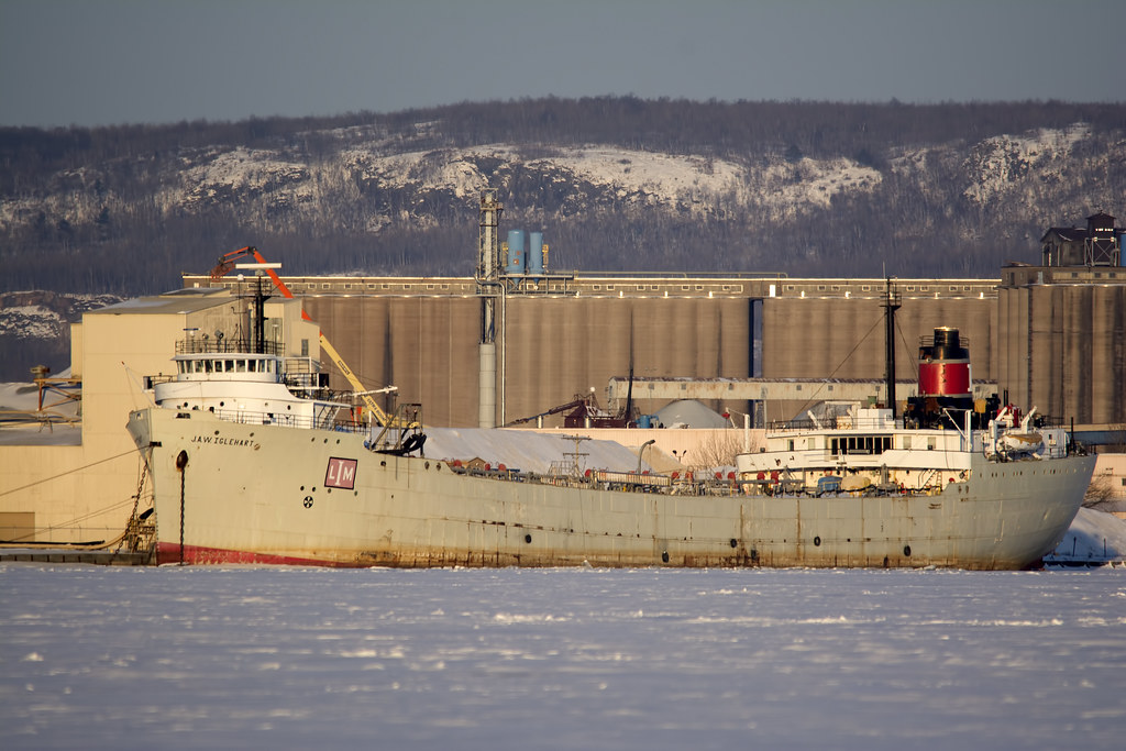
JAW Iglehart 2

Railroad trestle across the Black River

Horton Covered Bridge

BN 7890 Rear end view
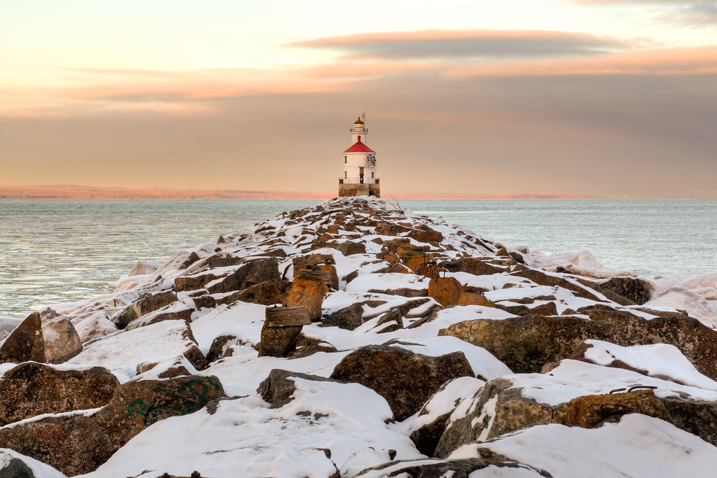
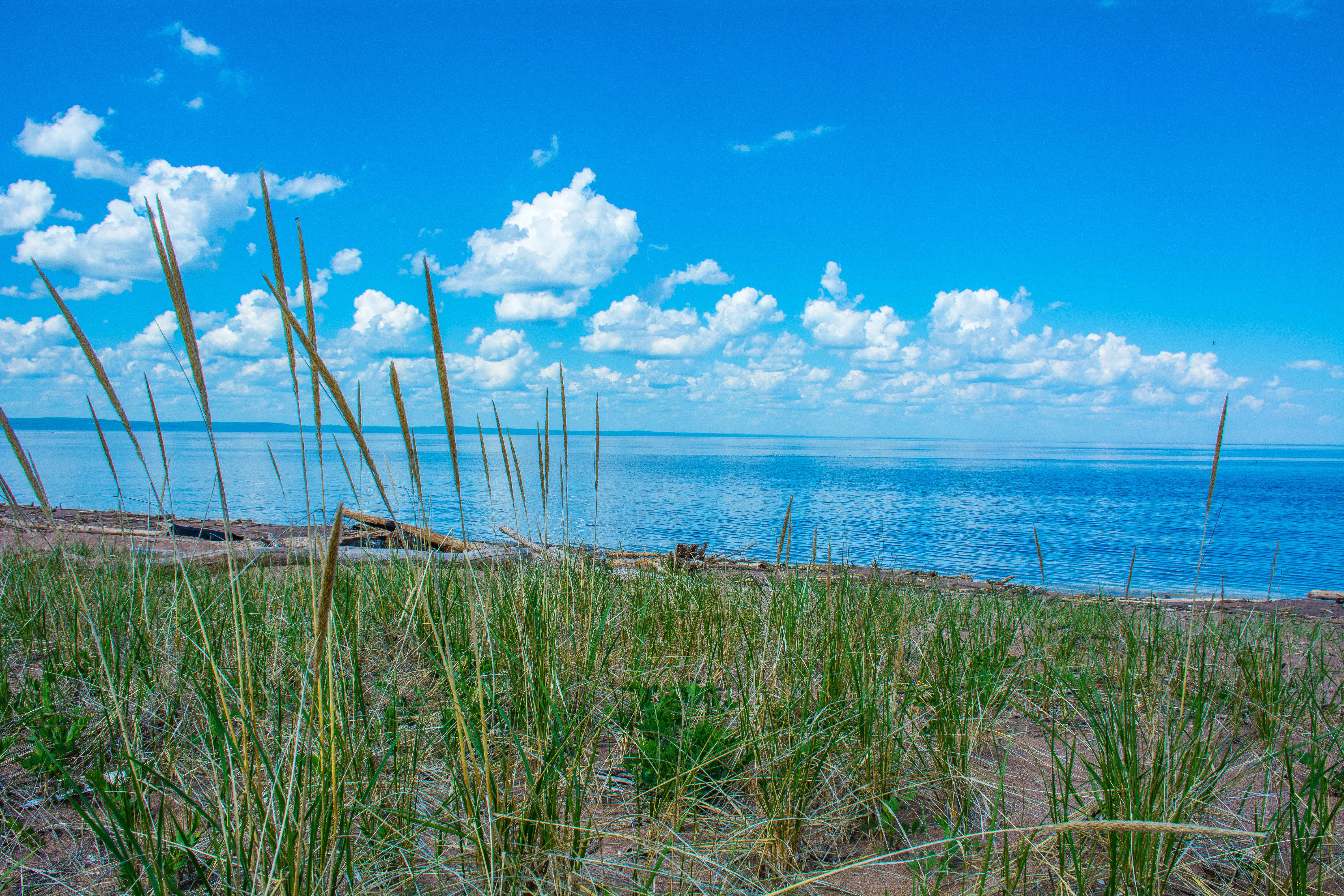
Wisconsin Point Lighthouse
Rengo Salute
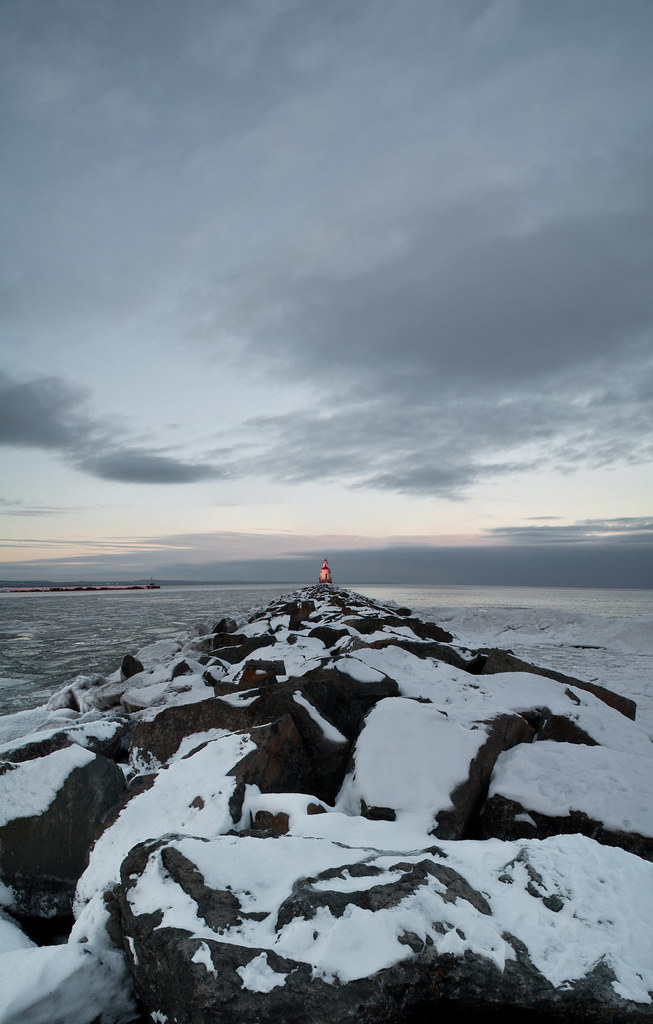
Wisconsin Point Lighthouse

Superior Entry as seen from Park Point

Peculiar Abode

Too Dizzy to Stand

Getting to the Top
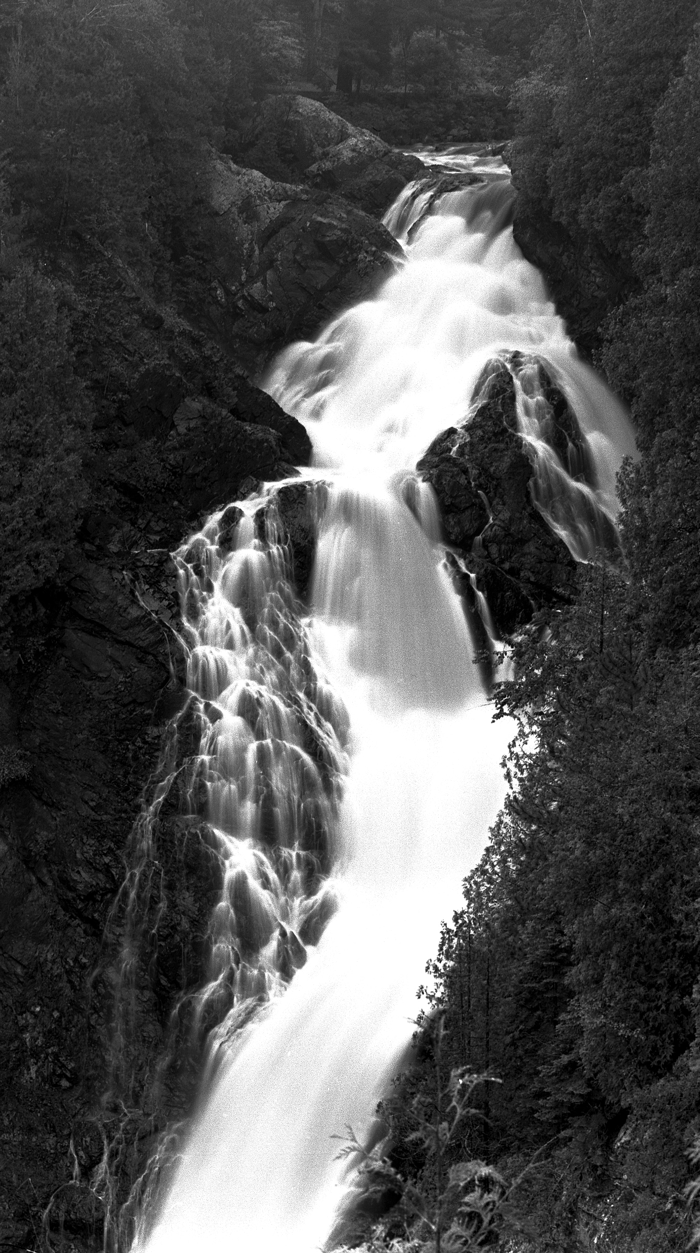
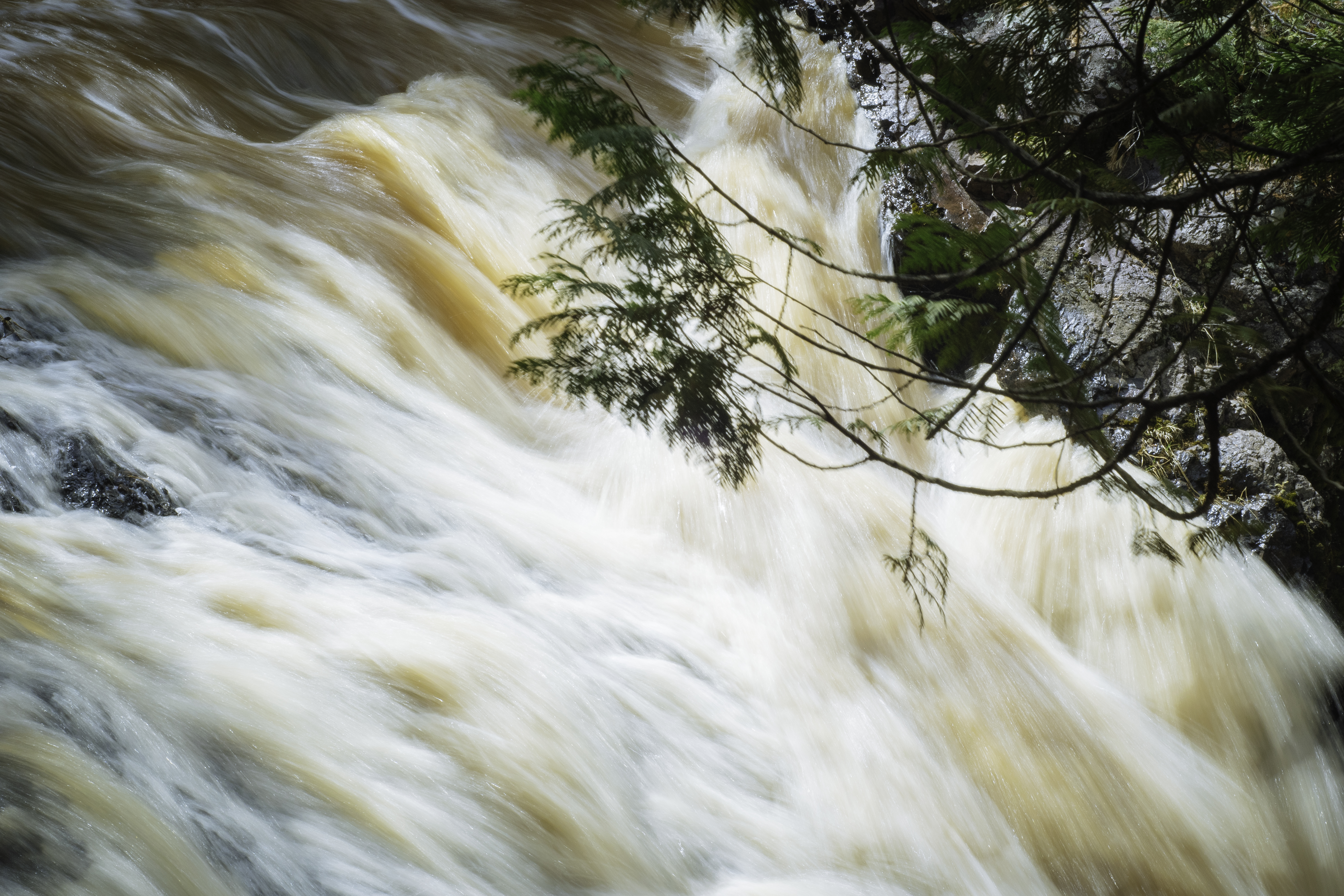
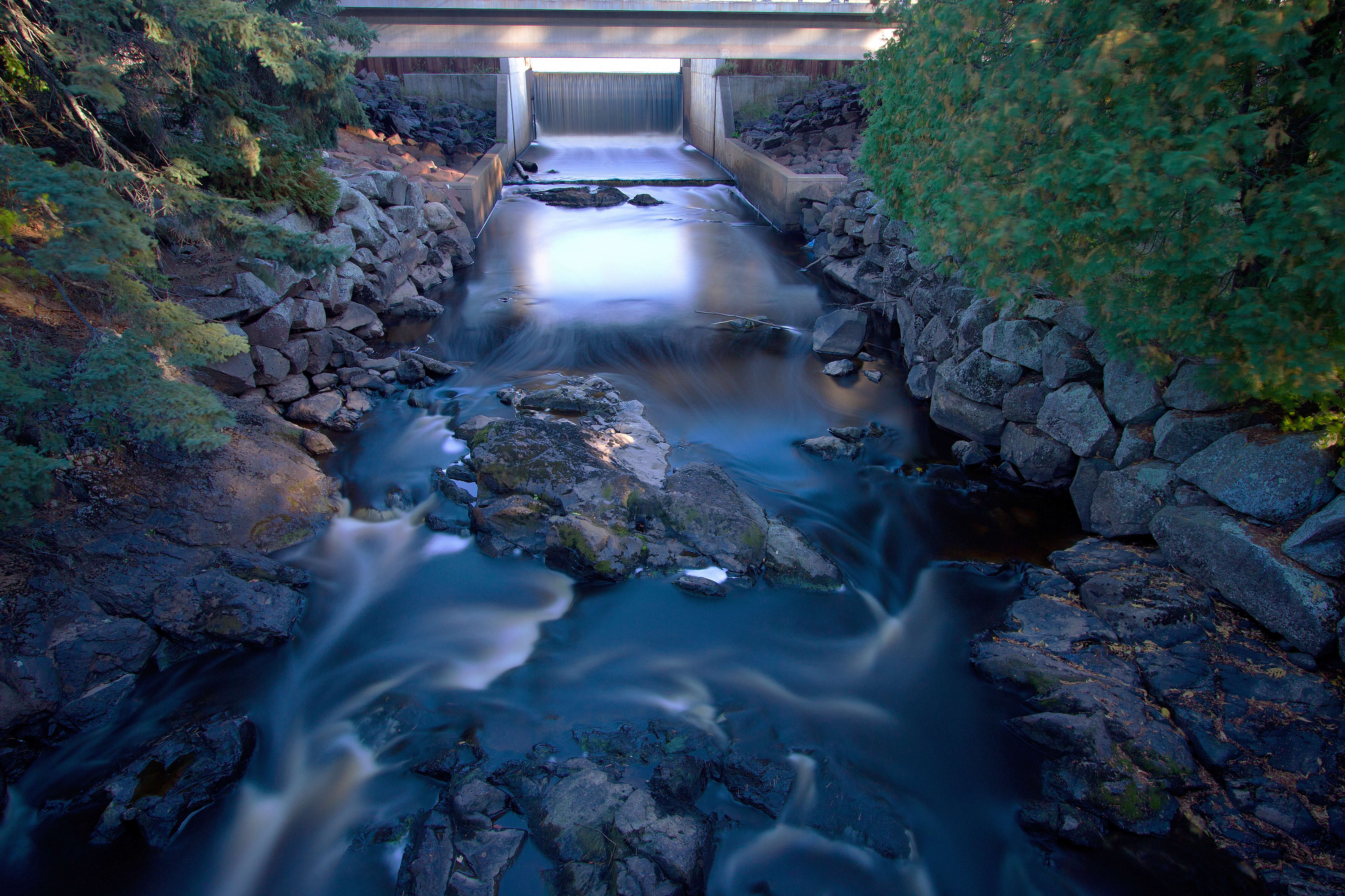
Tumbling Water
Upper Amnicon Falls, Wisconsin

Storm Over Fairlawn

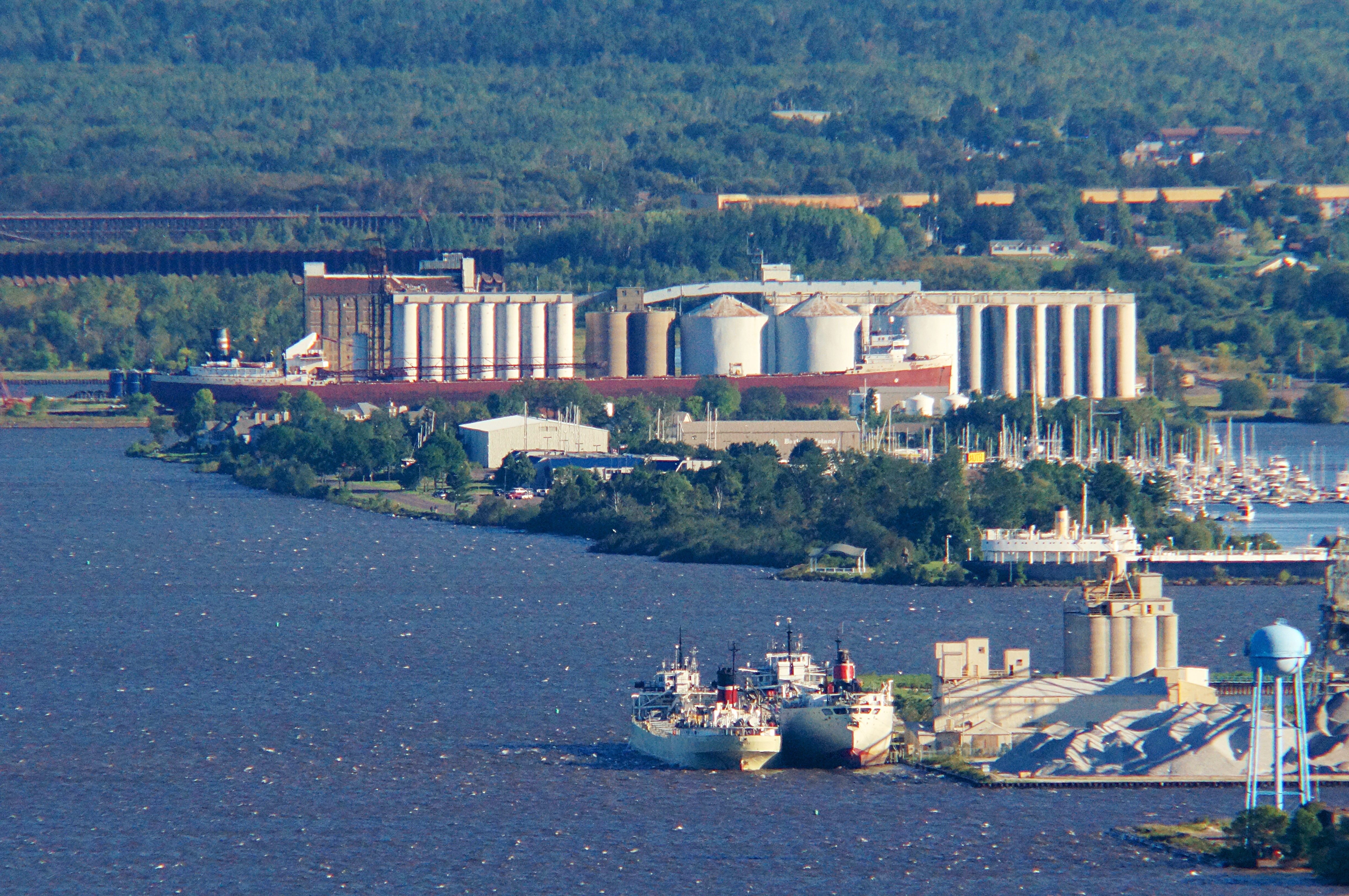
Stewart J. Cort
Big Manitou 1

Forgotten Ties
4 steamers

A View From Central Park
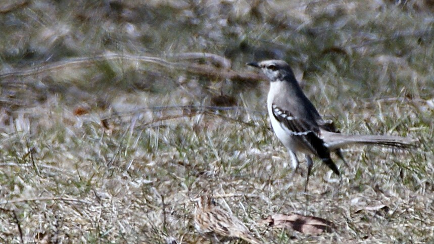
Northern Mockingbird, Park Point, 04/29/13
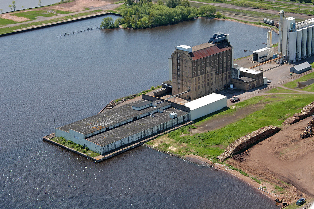
King Midas Flour Mill
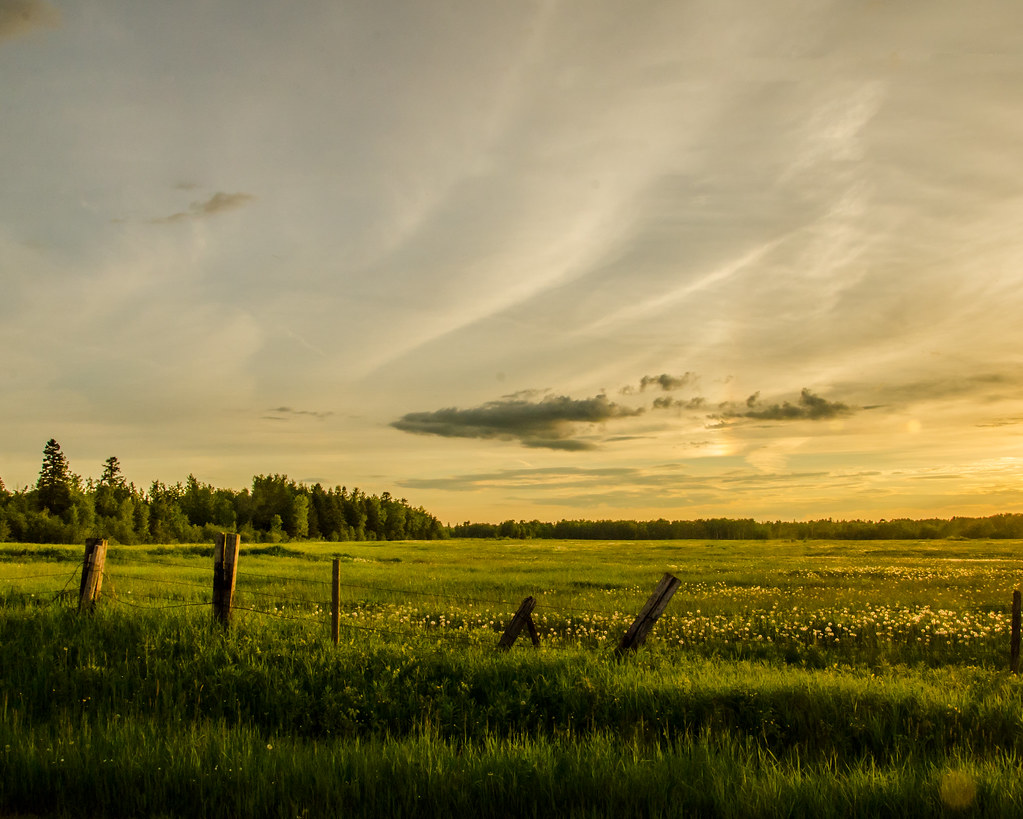
Fields of green and gold
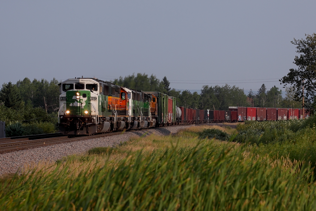
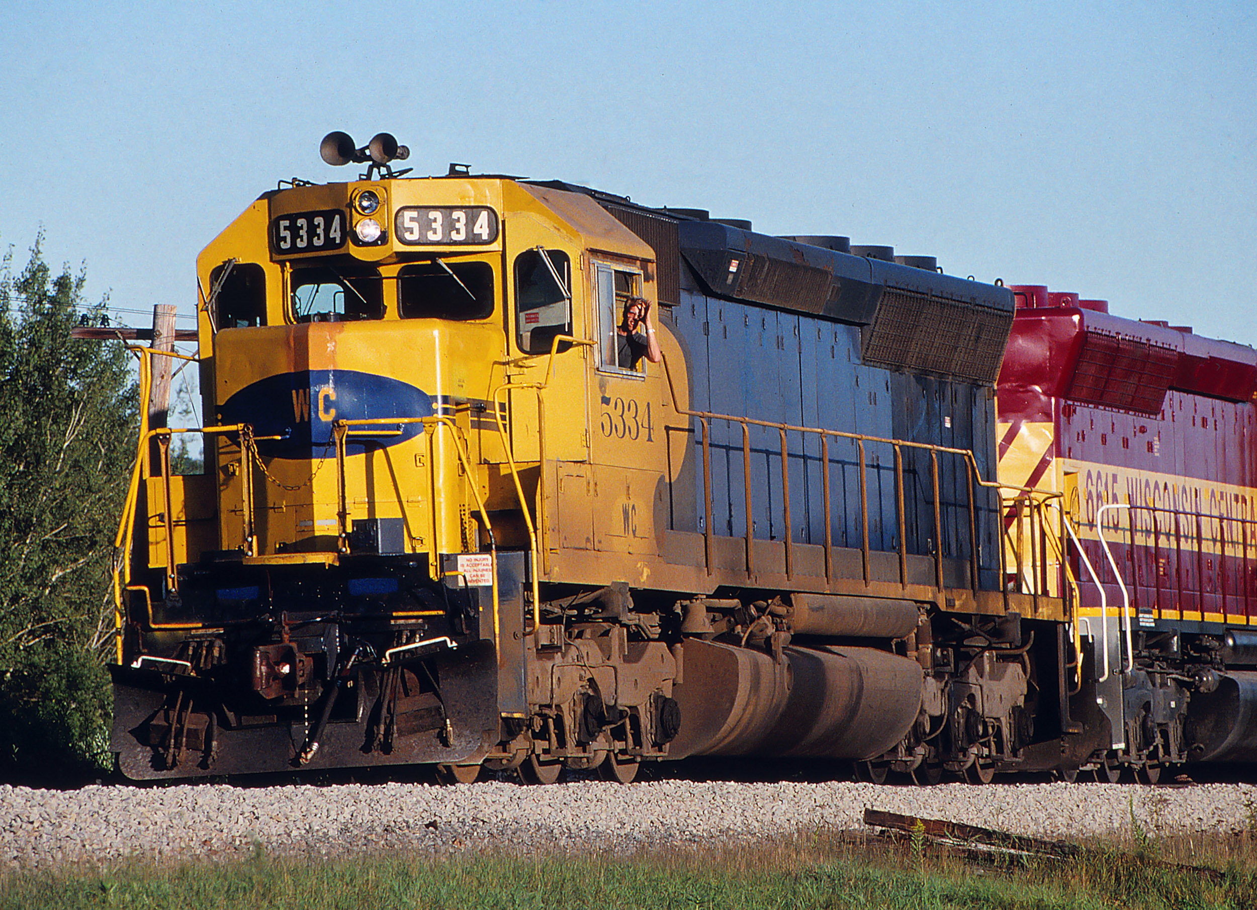
Northtown By the Roll By
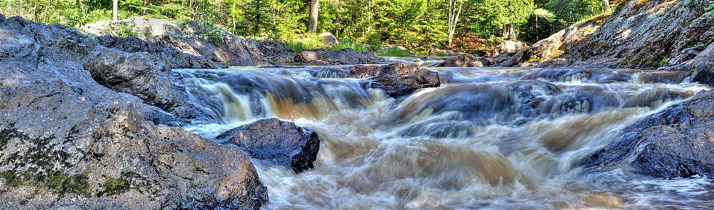
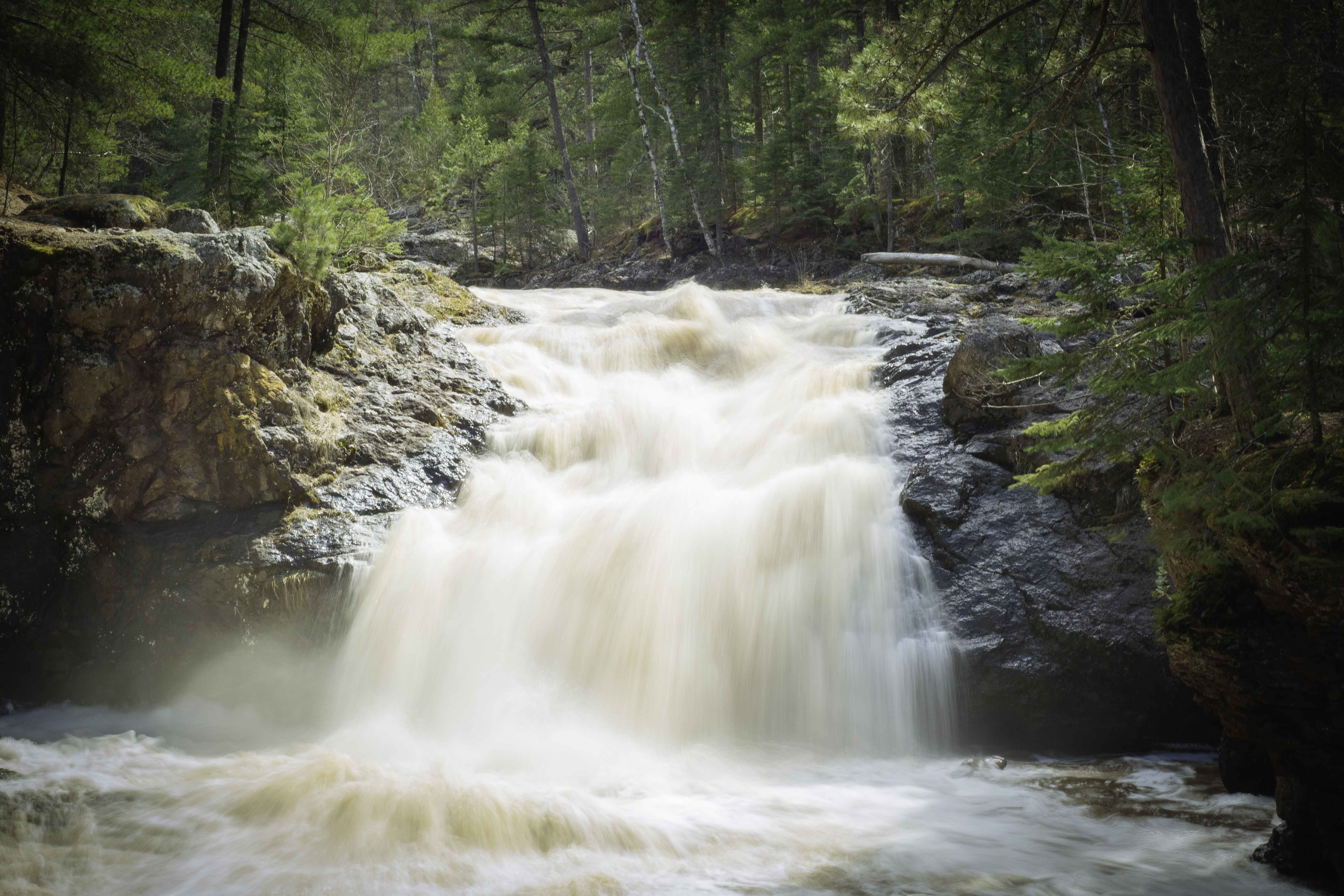
Rushing Rapids
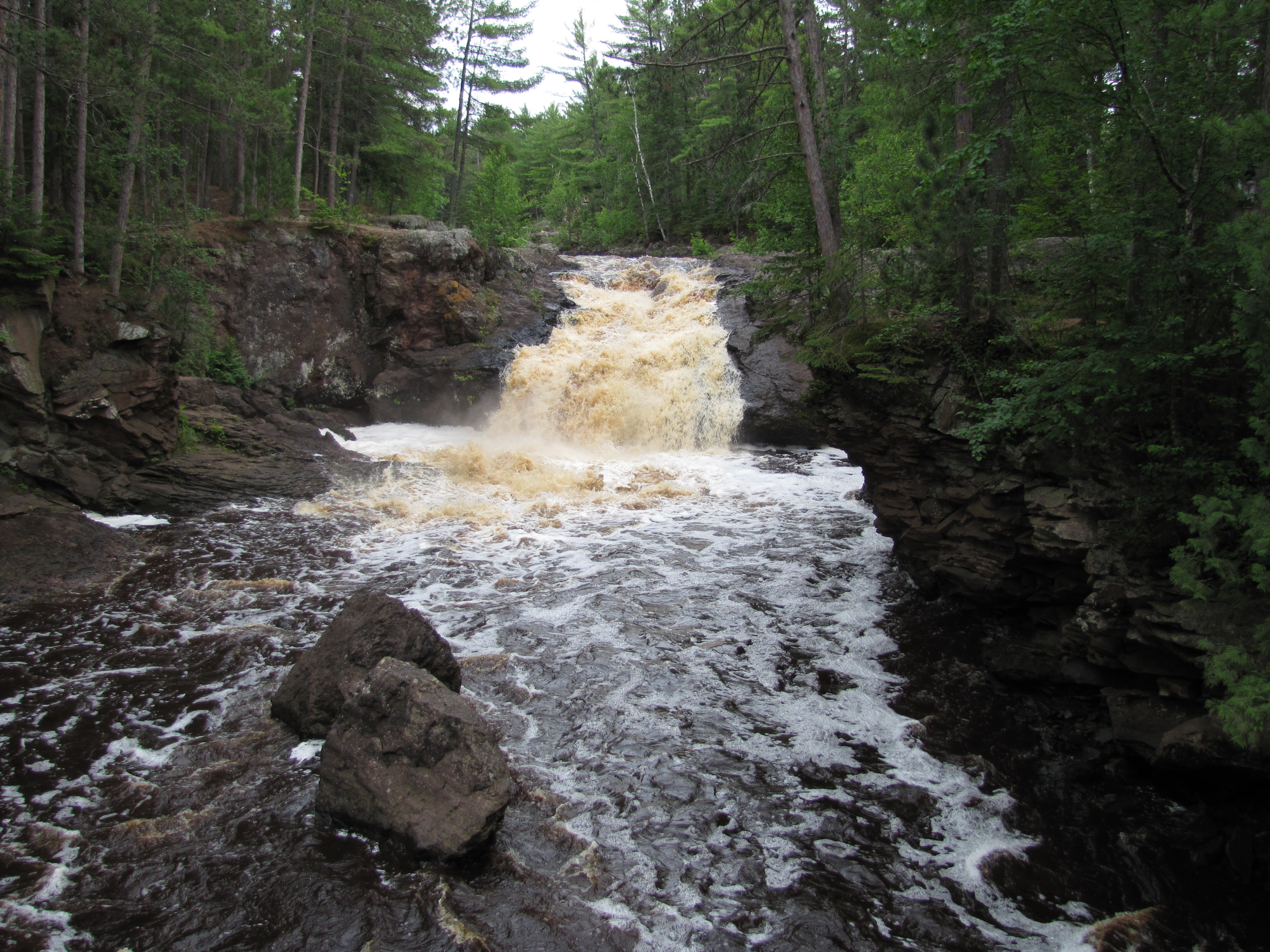
Amnicon Falls
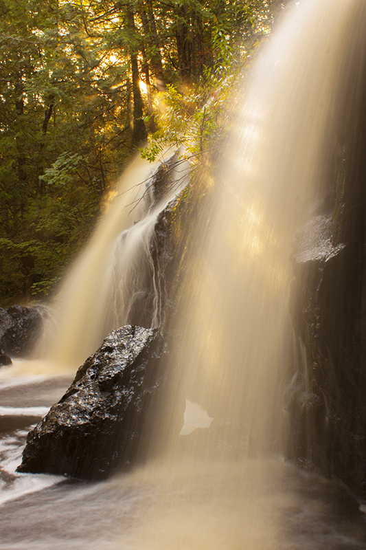
Now and Then Falls
Amnicon Falls
Amnicon Falls State Park
IMG_3684 Amnicon Falls State Park

Nemidji River Trestle
Amnicon Falls State Park

P7283279_HDR.jpg

_MG_5439 - The Black River. ©Jerry Mercier
A Spring landscape
IMG_7827 10x20
IMG_7799 10x20

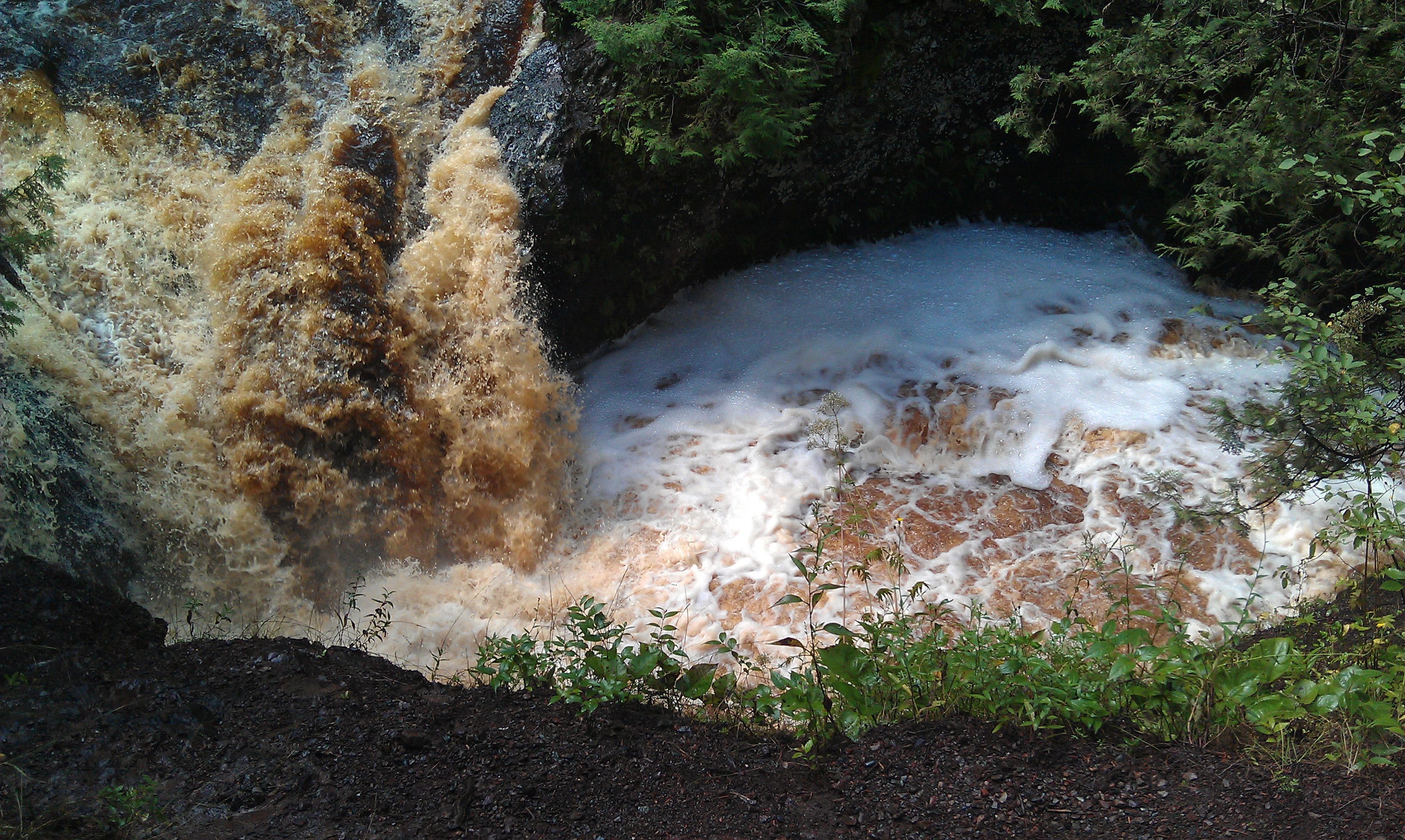
Pattison State Park - Black River
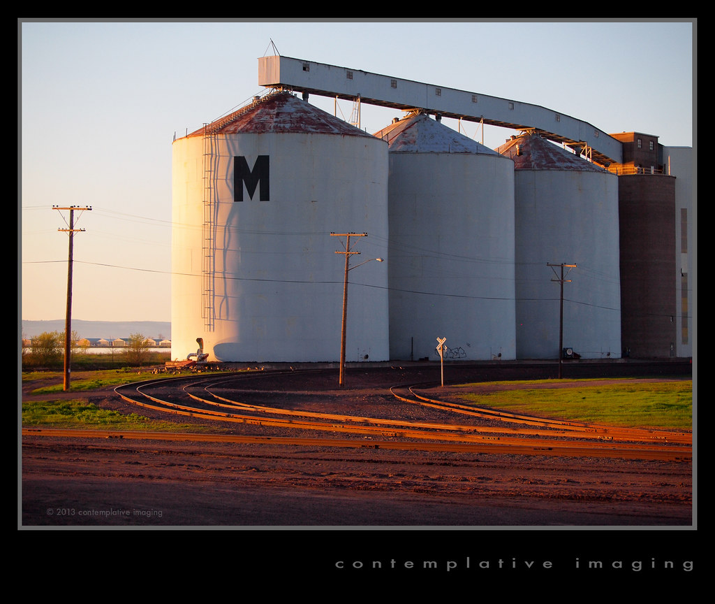
dial "M" for missabe
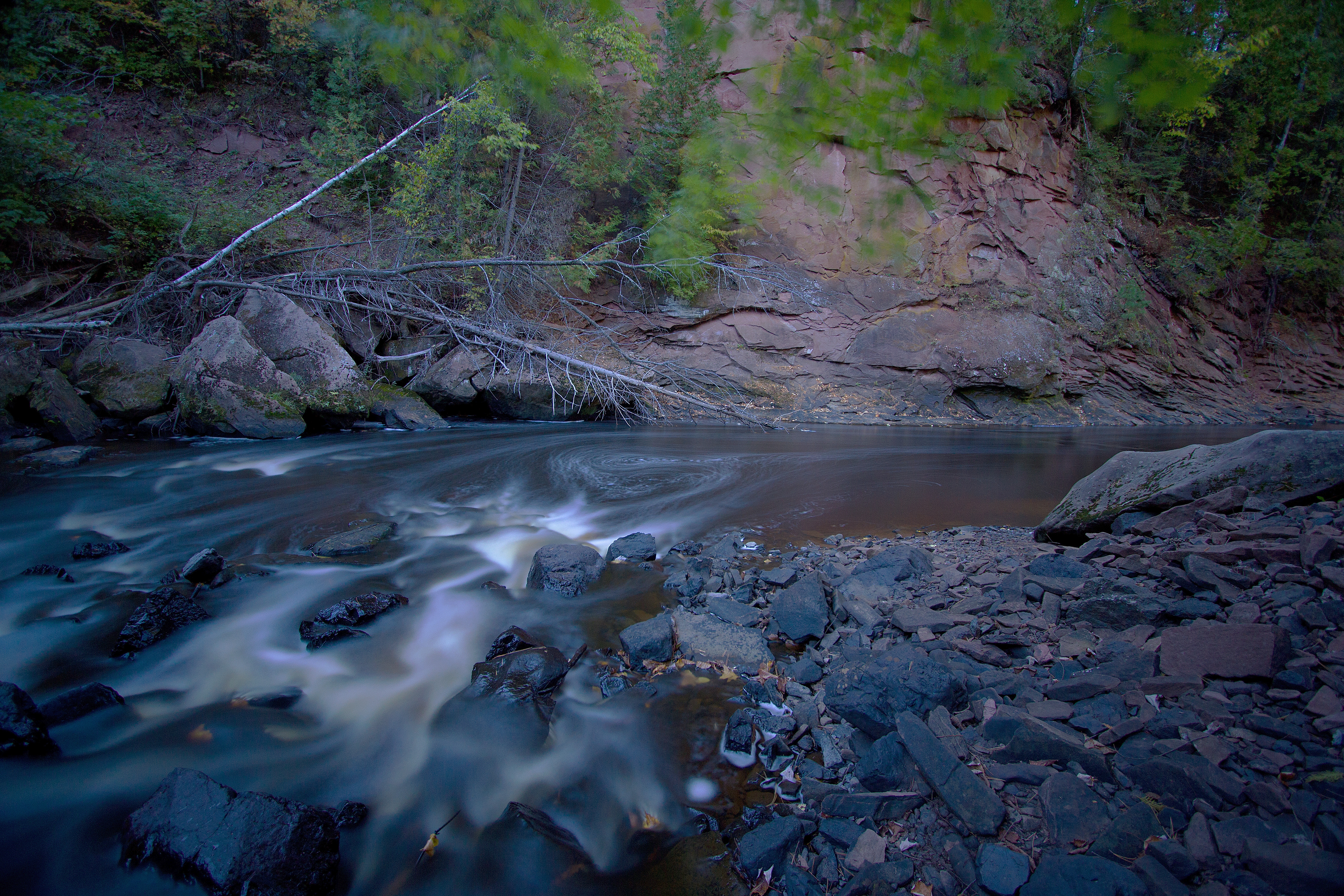
Pattison State Park - Black River
Pattison State Park - Black River

IMG_7786 10x20
DSC_0700-2
Topographic Map of County Rd C, South Range, WI, USA
Find elevation by address:

Places near County Rd C, South Range, WI, USA:
County Rd E, Poplar, WI, USA
Allouez
3519 E 1st St
E 1st St, Superior, WI, USA
N 58th St, Superior, WI, USA
5719 Tower Ave
South End
Park Point
2209 Tower Ave
9257 Wood Rd
1204 Hammond Ave
Superior
Baumgartner Rd, Superior, WI, USA
Billings Park
N 17th St, Superior, WI, USA
Superior
2193 New York Ave
Poplar
Main St, Poplar, WI, USA
1114 Minnesota Ave
Recent Searches:
- Elevation of Congressional Dr, Stevensville, MD, USA
- Elevation of Bellview Rd, McLean, VA, USA
- Elevation of Stage Island Rd, Chatham, MA, USA
- Elevation of Shibuya Scramble Crossing, 21 Udagawacho, Shibuya City, Tokyo -, Japan
- Elevation of Jadagoniai, Kaunas District Municipality, Lithuania
- Elevation of Pagonija rock, Kranto 7-oji g. 8"N, Kaunas, Lithuania
- Elevation of Co Rd 87, Jamestown, CO, USA
- Elevation of Tenjo, Cundinamarca, Colombia
- Elevation of Côte-des-Neiges, Montreal, QC H4A 3J6, Canada
- Elevation of Bobcat Dr, Helena, MT, USA