Elevation of Baumgartner Rd, Superior, WI, USA
Location: United States > Wisconsin > Douglas County > Superior >
Longitude: -92.147873
Latitude: 46.563652
Elevation: 228m / 748feet
Barometric Pressure: 99KPa
Elevation Map:
Satellite Map:
Related Photos:
The Floating GE

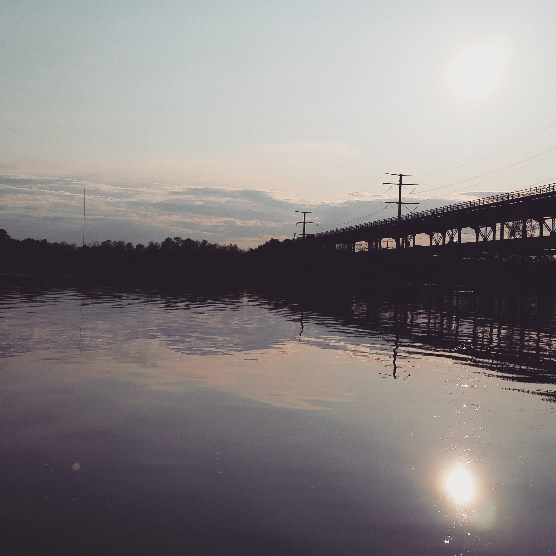
Railroad trestle across the Black River

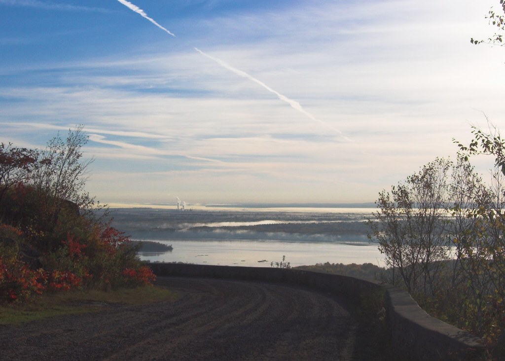
View from the SHT

You're Growing Up Nemadji River Bridge
Pleasant View Mobile Home Park
Bird bath, 2 views

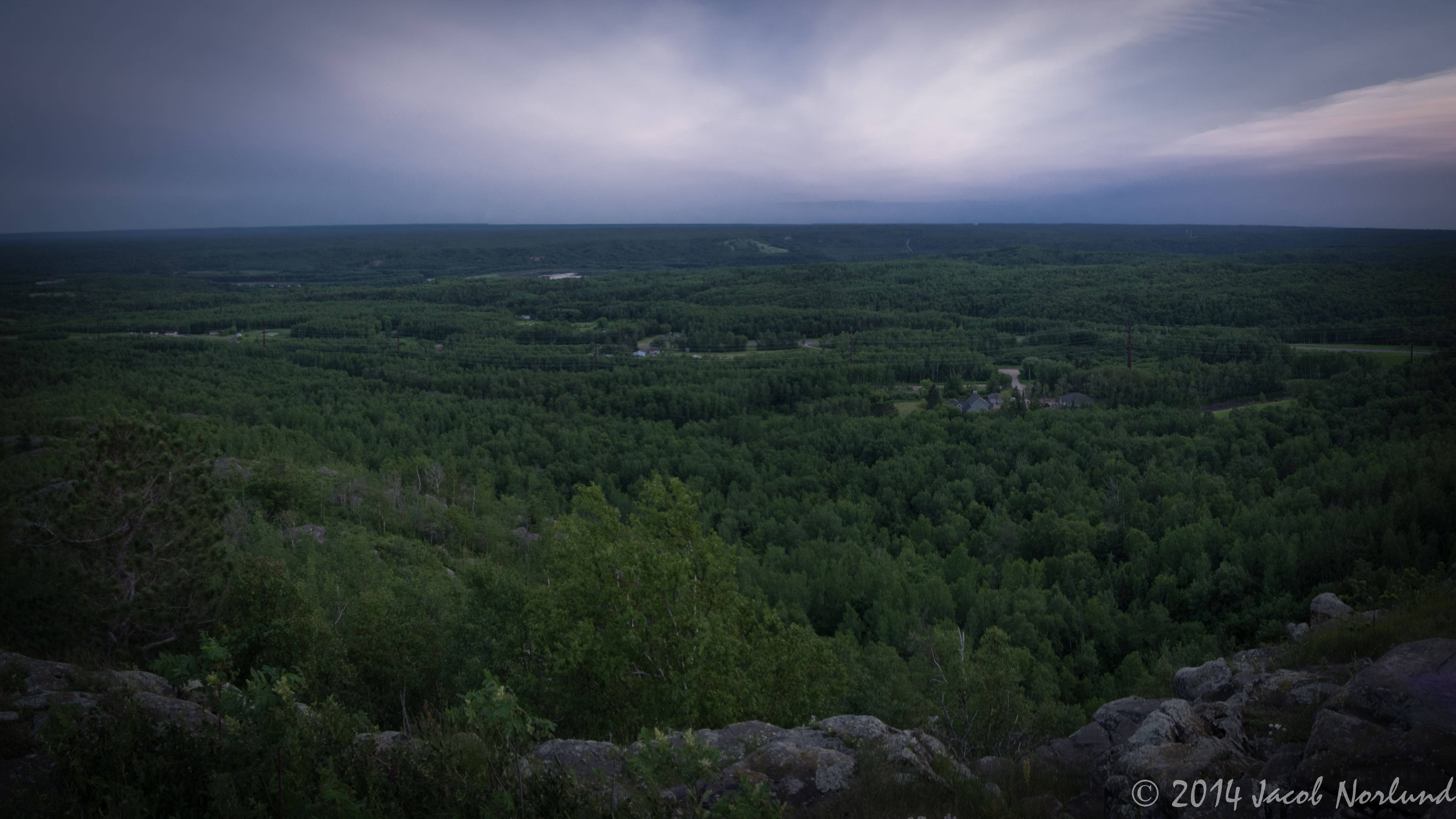
Jay Cooke State Park Landscape
Rengo Salute
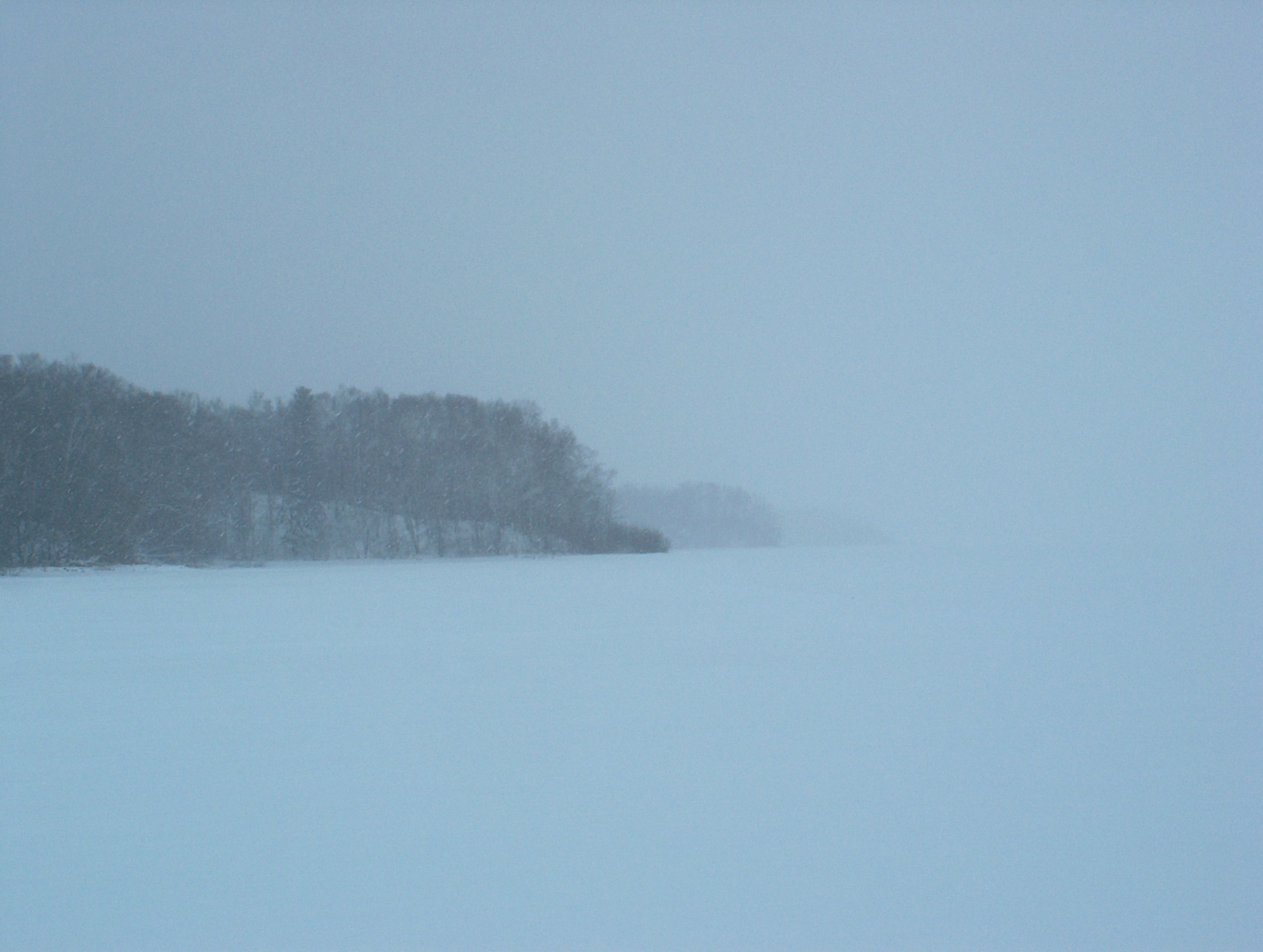
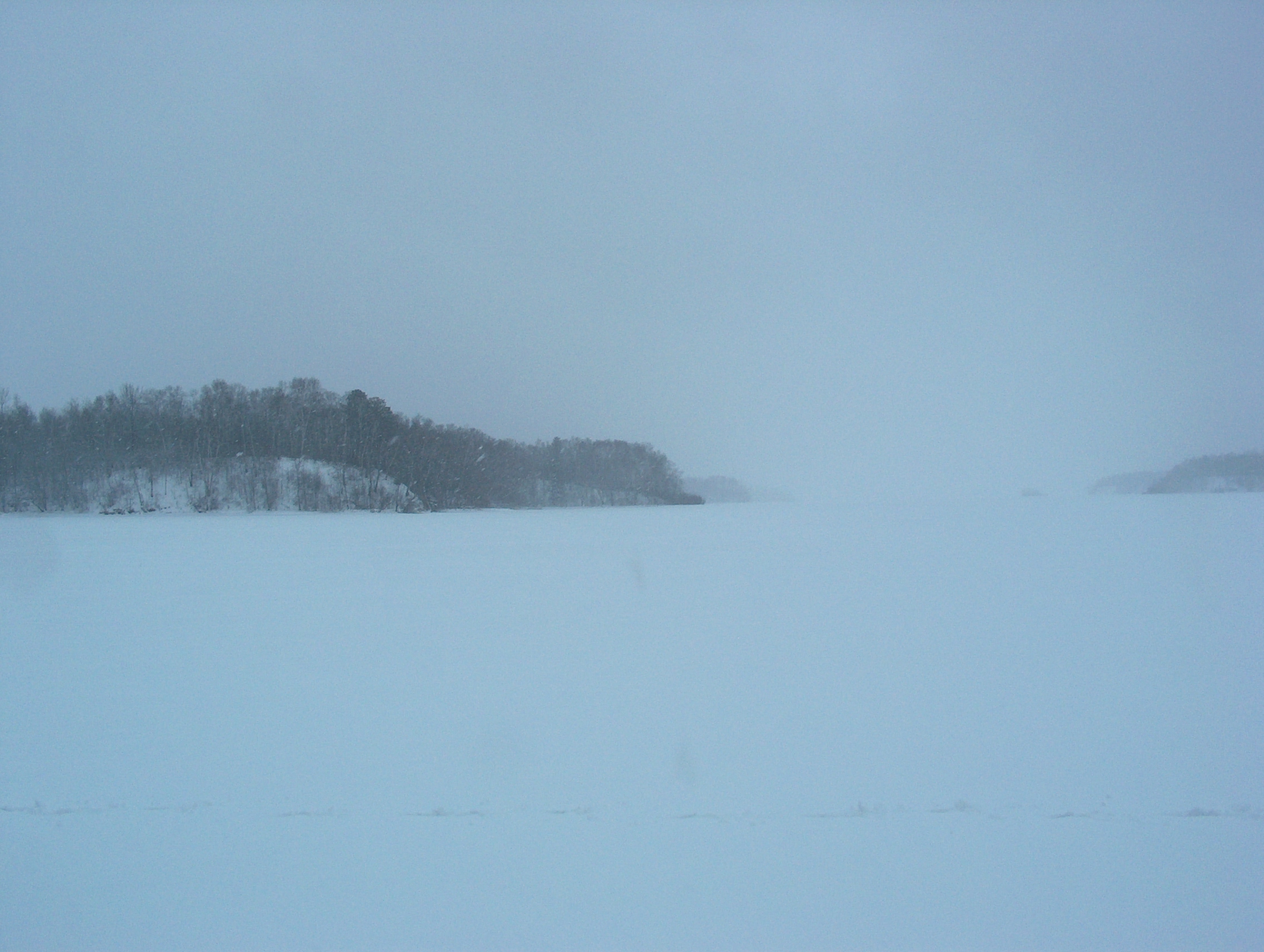
Big Manitou 1
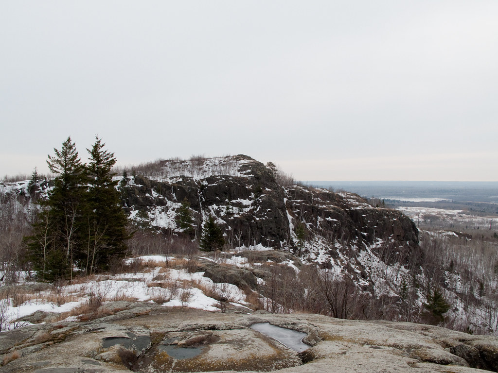
View from top of Ely's Peak tunnel

Jay Cooke State Park Landscape
View from Ely's Peak 1
CRW_8589-01

Jay Cooke State Park Landscape
North at North Steelton
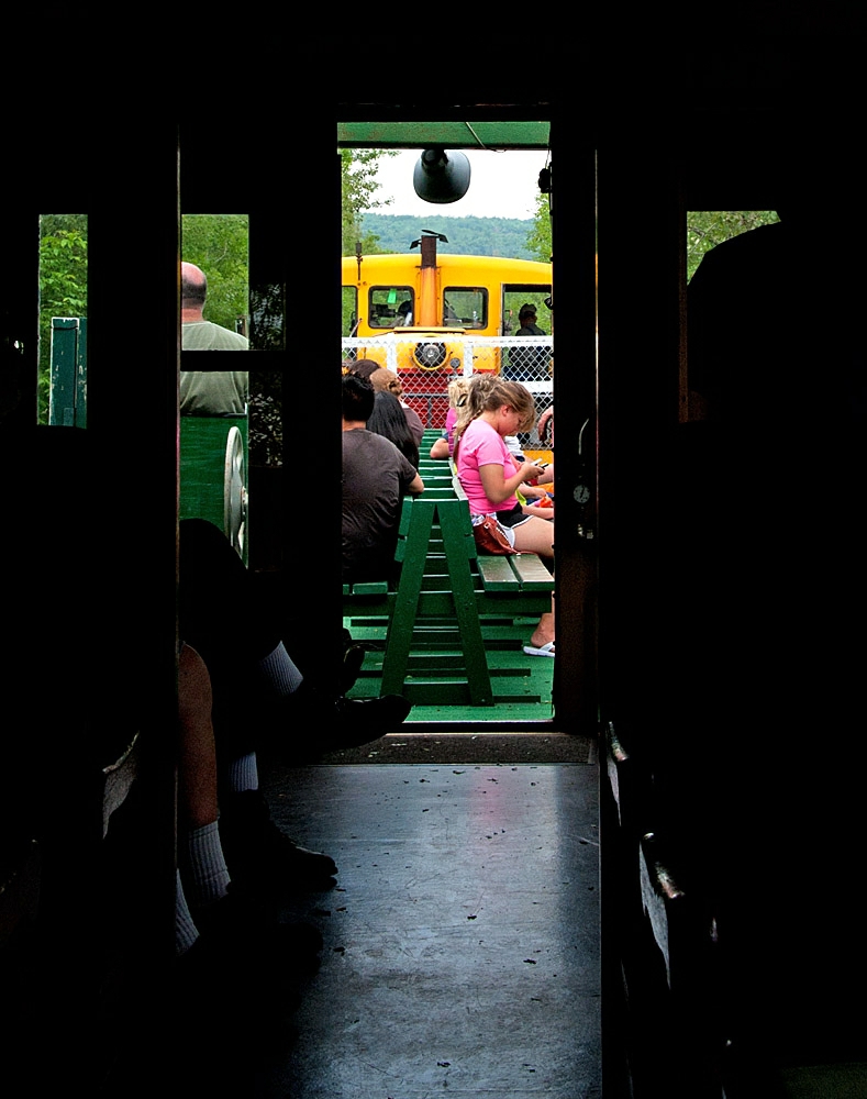
Car 29
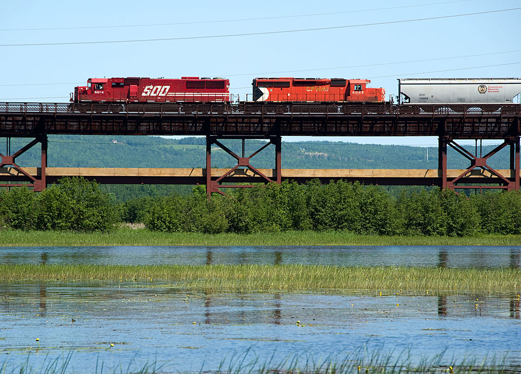
Soo 6044 Oliver Bridge
IMG_3904.jpg
A view of the river...
another angle/view
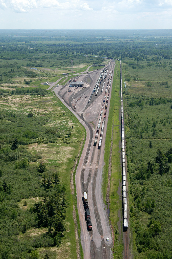
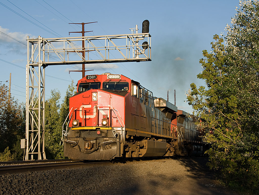
CN Pokegama Yard
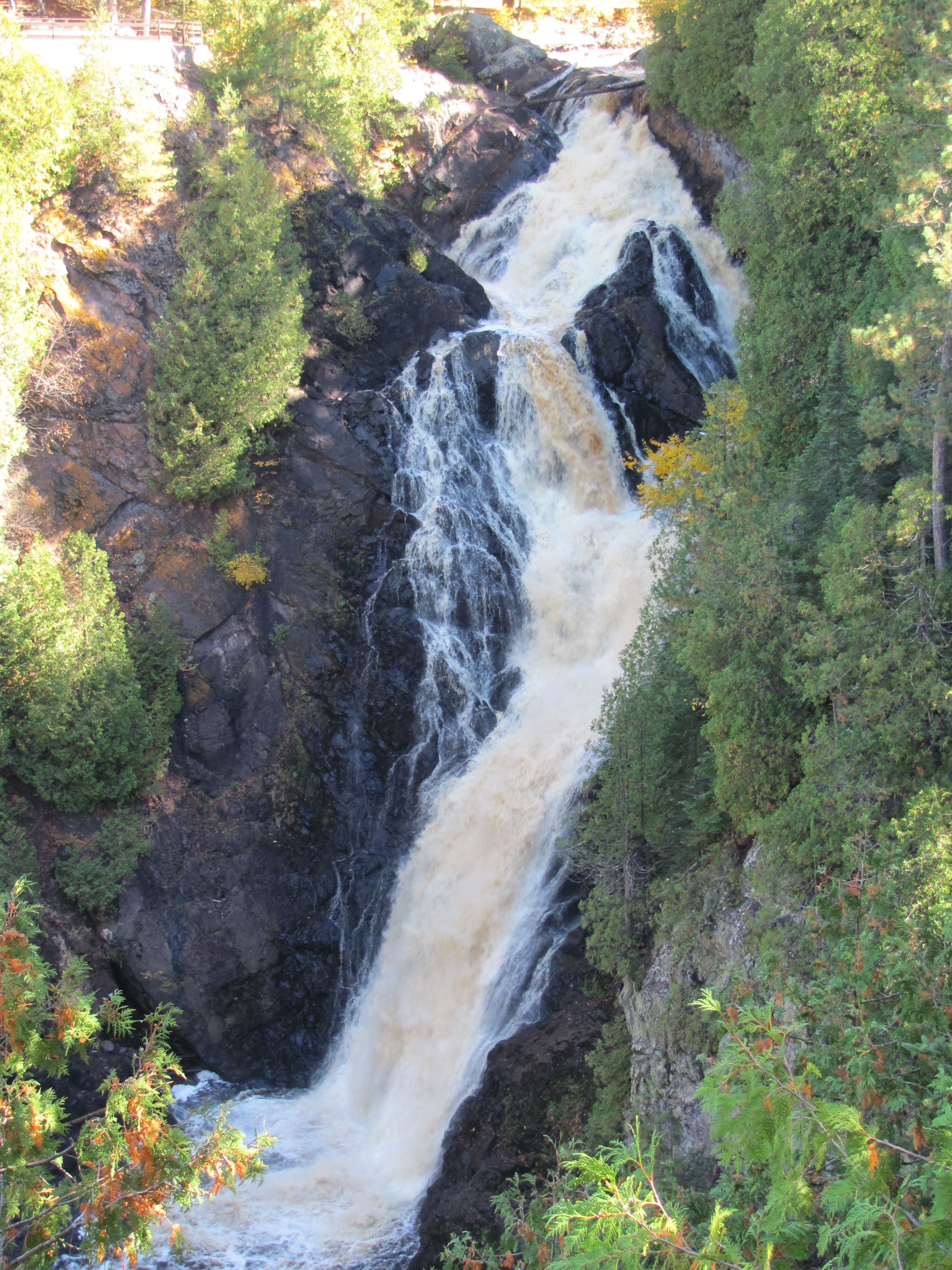
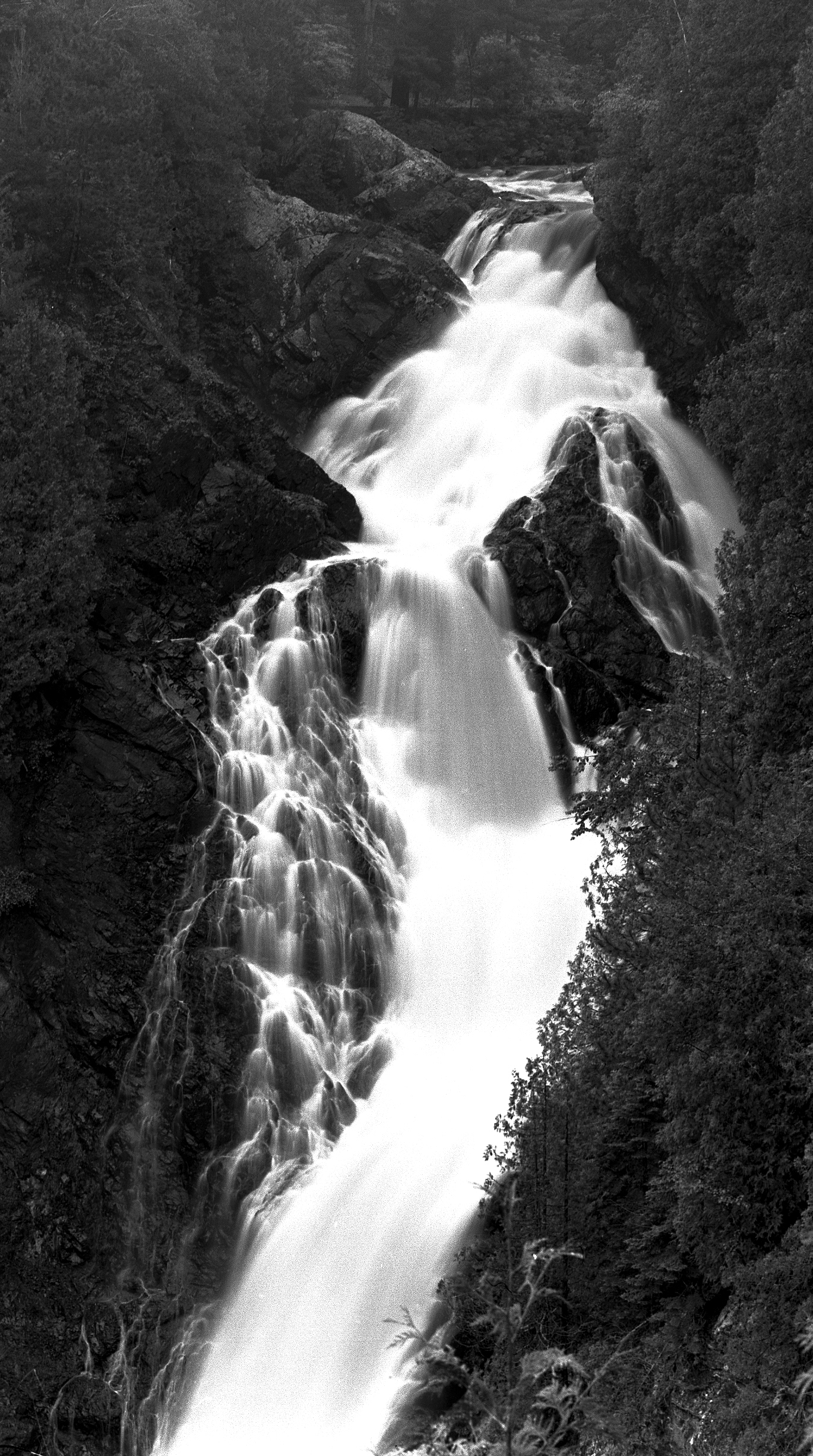
12. Big Manitou Falls
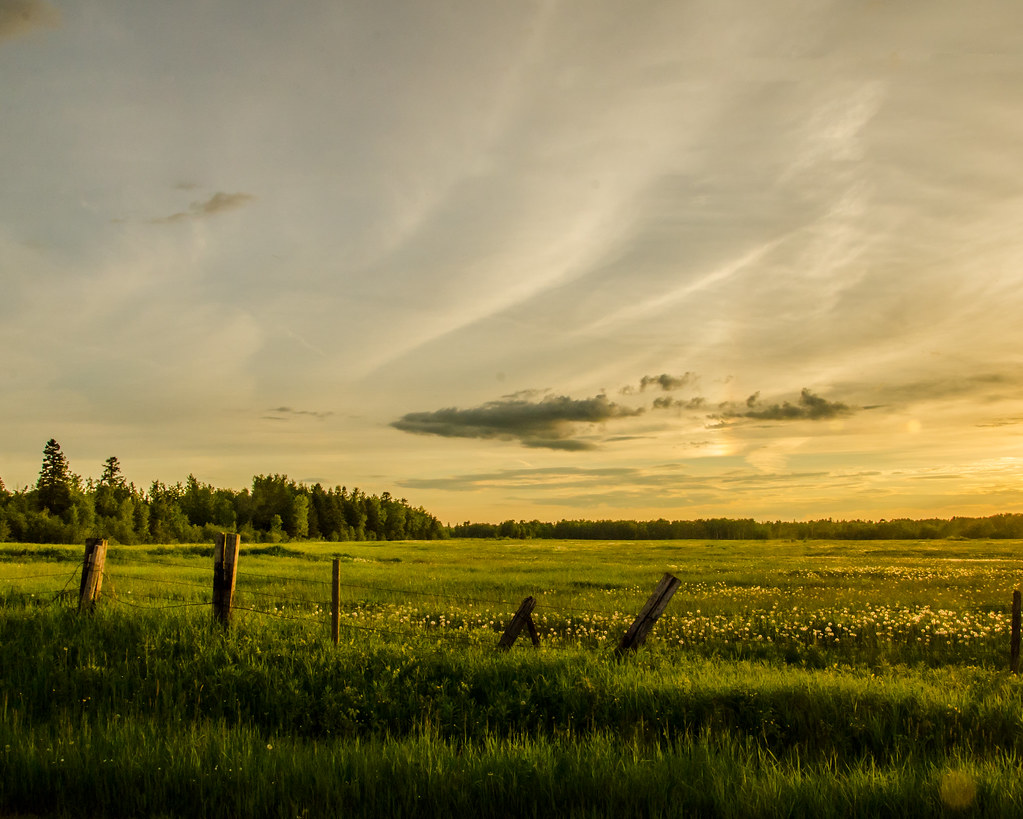
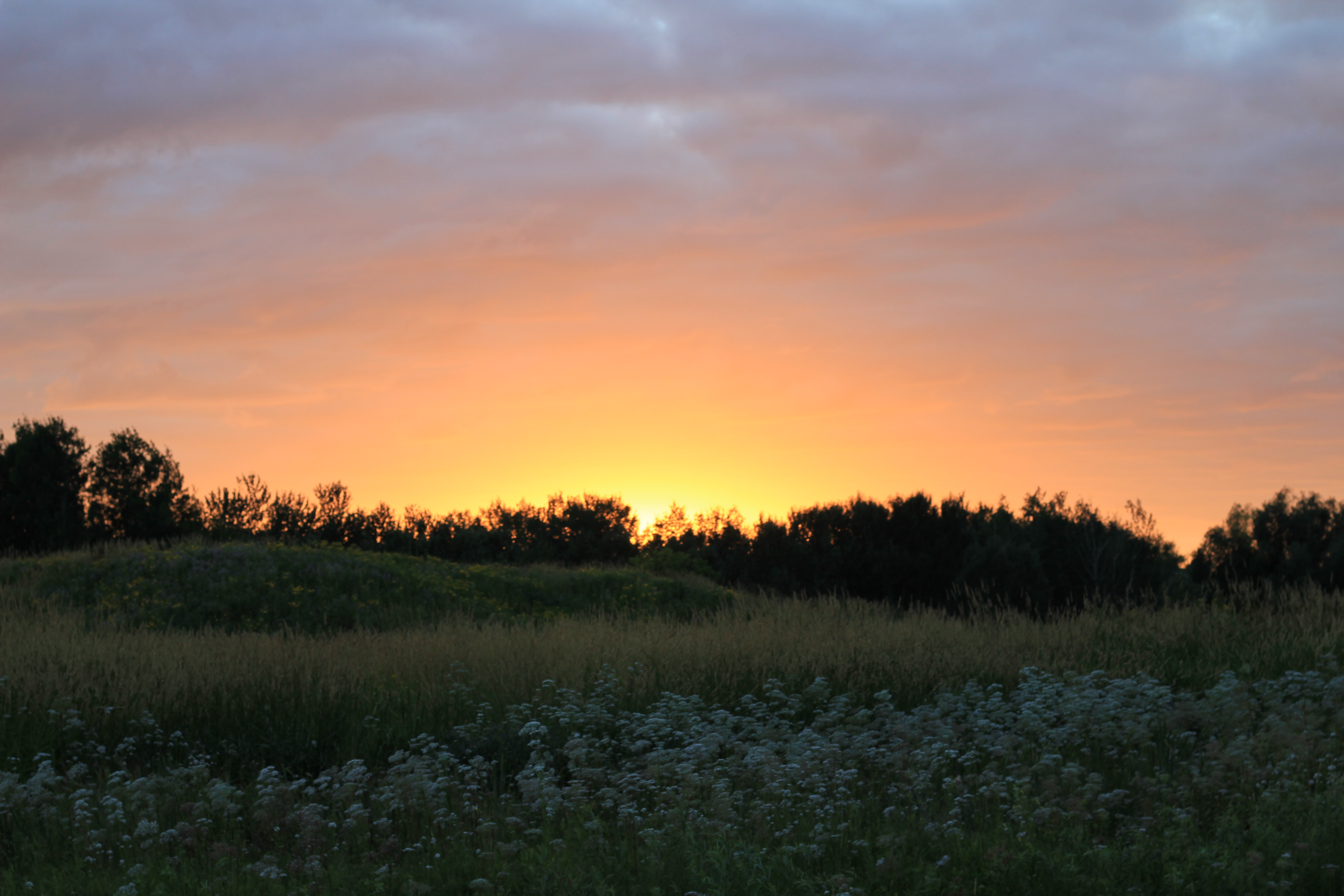
Fields of green and gold

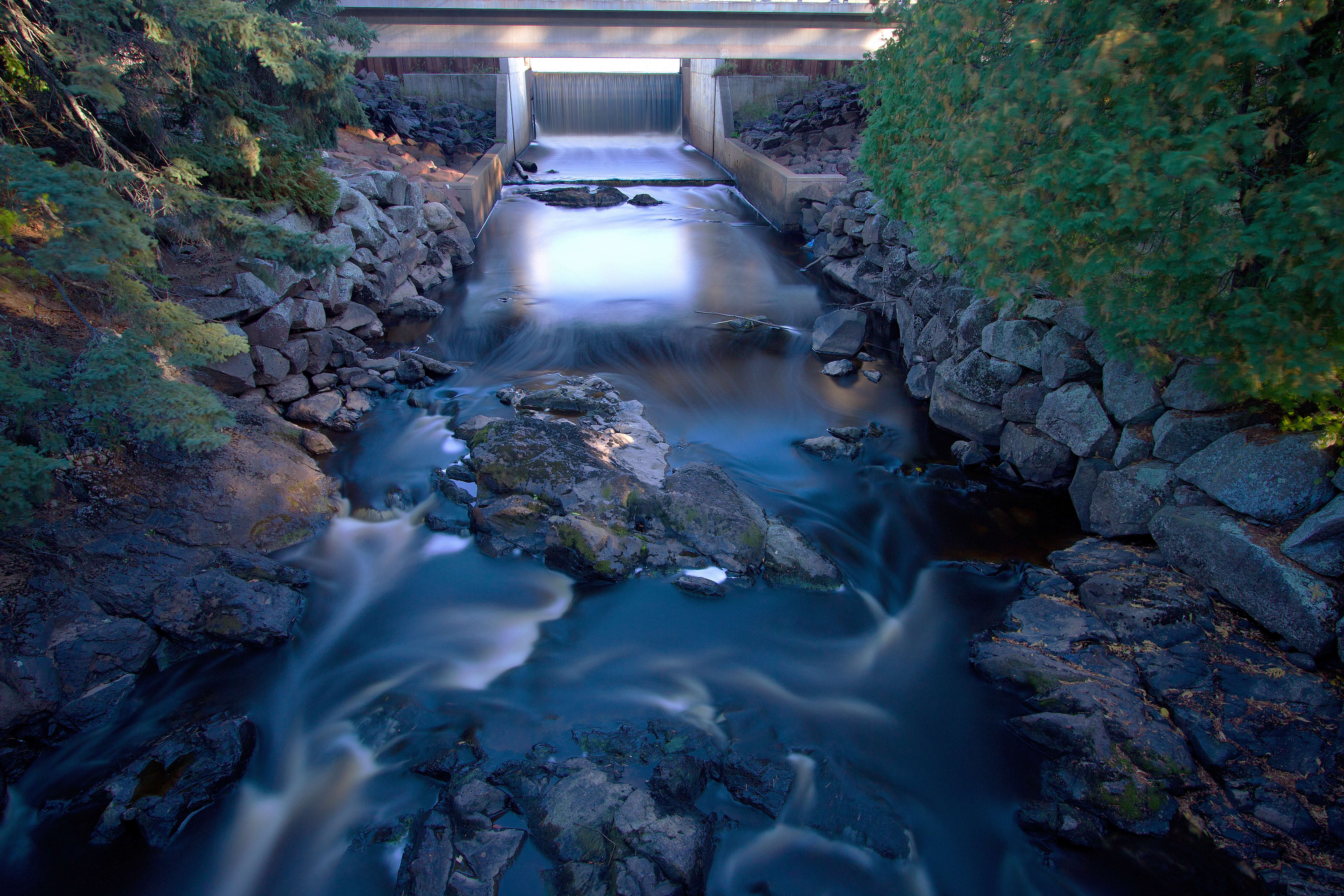
30. Little Manitou Falls

SD60 on the Oliver Bridge

St Louis River after the Storm

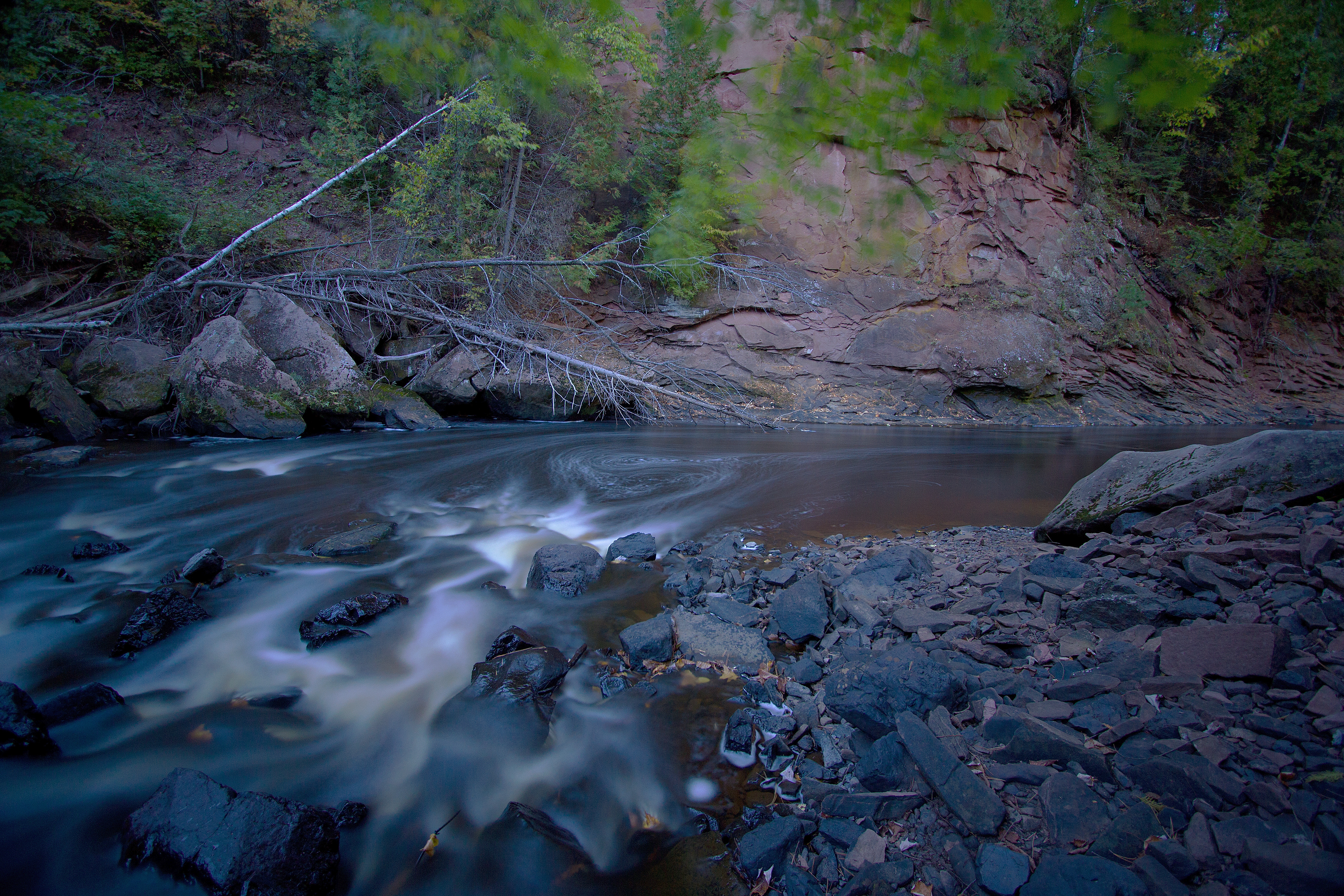
_MG_5439 - The Black River. ©Jerry Mercier

Pattison State Park - Black River
Pattison State Park - Black River
Pattison State Park - Black River
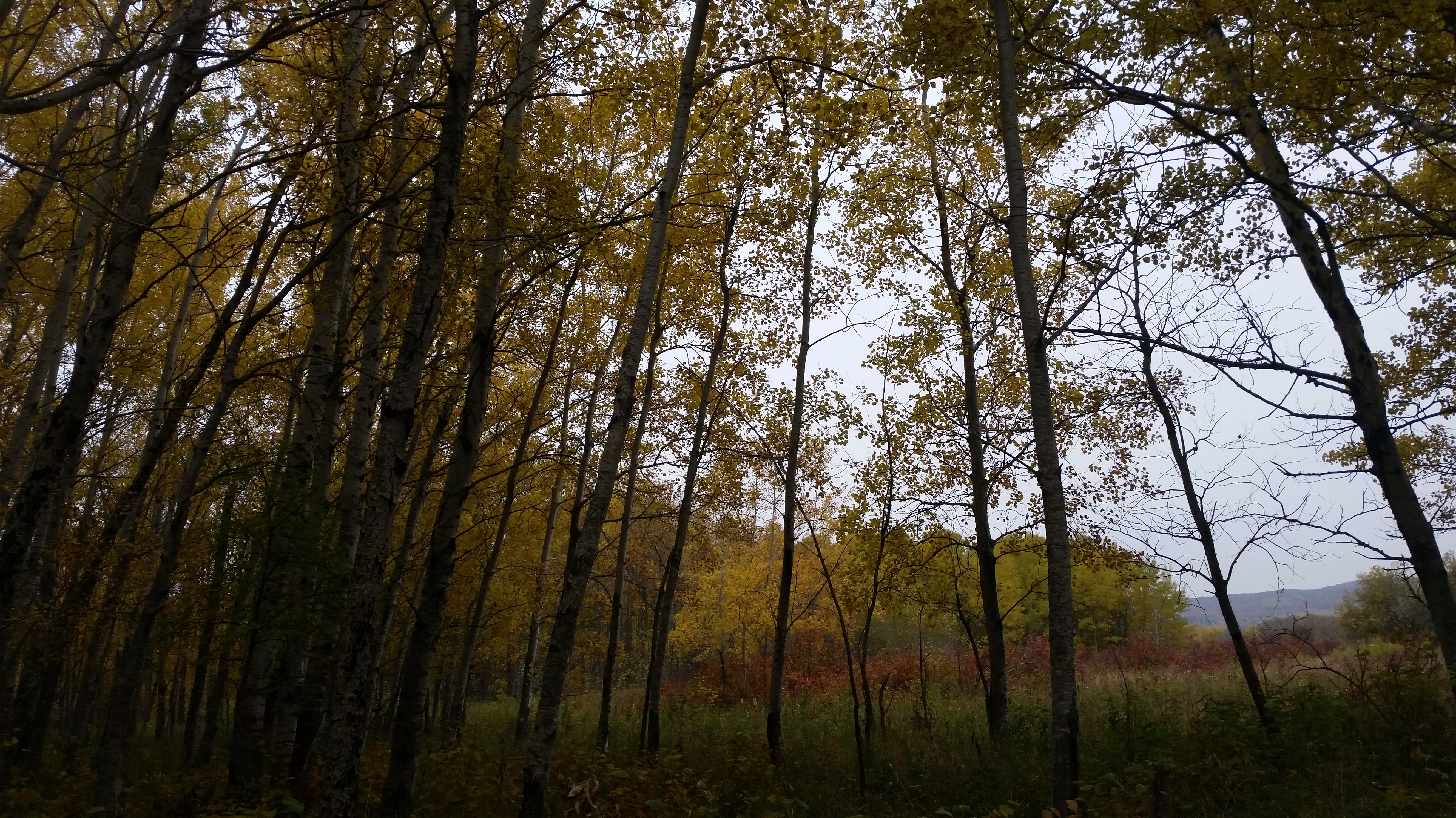
fall on clough island
st. louis river

Manitou Falls 024

Almost to the Top

IMG_6644-1

Scout Lake
Sunset-7966

CN 8869 Oliver Bridge

Pattison State Park - Black River
Topographic Map of Baumgartner Rd, Superior, WI, USA
Find elevation by address:

Places near Baumgartner Rd, Superior, WI, USA:
Superior
South End
5719 Tower Ave
S Riverview Dr, Superior, WI, USA
N 58th St, Superior, WI, USA
15 E Peary St, Duluth, MN, USA
87th Ave W, Duluth, MN, USA
Summit
2193 New York Ave
2209 Tower Ave
Foxboro
Ely's Peak
N 17th St, Superior, WI, USA
Billings Park
W 2nd St, Duluth, MN, USA
10325 Bessemer St
Superior
Riverside
Irving
1204 Hammond Ave
Recent Searches:
- Elevation of Formby Ct, Myrtle Beach, SC, USA
- Elevation of Hobbyhorse Ct, Dover, DE, USA
- Elevation of Horseshoe Ln, Dahlonega, GA, USA
- Elevation of Village Point Dr, Daphne, AL, USA
- Elevation map of Kabardino-Balkarian Republic, Russia
- Elevation of Tyrnyauz, Kabardino-Balkarian Republic, Russia
- Elevation of Sunset Dr, Hernando, MS, USA
- Elevation of Lake Rotoroa, Tasman, New Zealand
- Elevation of George St, New Bern, NC, USA
- Elevation of Cove Rd, Jasper, GA, USA