Elevation of County Rd 34, Ogema, MN, USA
Location: United States > Minnesota > Becker County >
Longitude: -95.923337
Latitude: 47.101952
Elevation: 387m / 1270feet
Barometric Pressure: 97KPa
Elevation Map:
Satellite Map:
Related Photos:
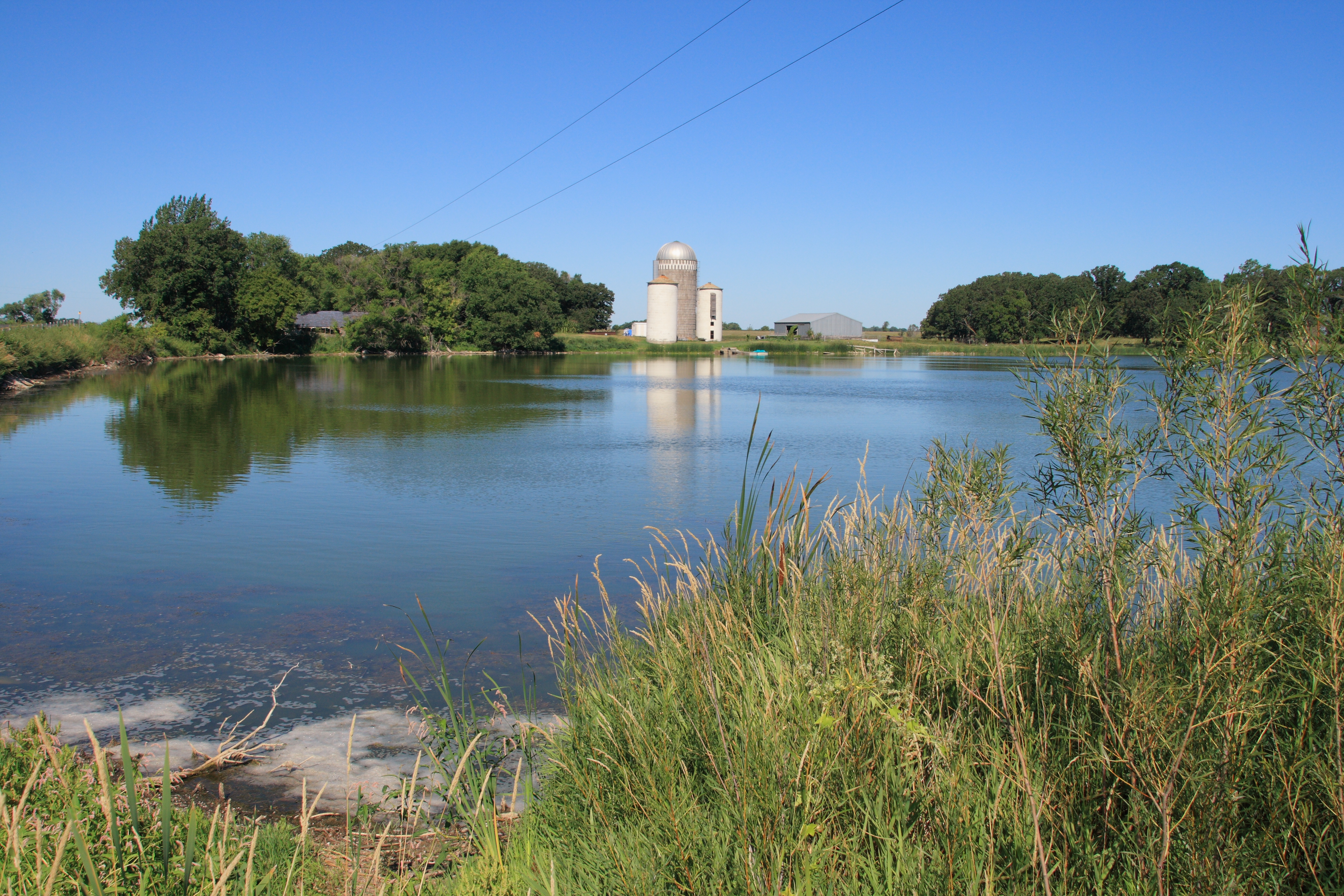
Farm by a lake

Wild rose, White Earth MN.

Poison ivy in flower, White Earth MN

Fungus in the woods

#Maplelag
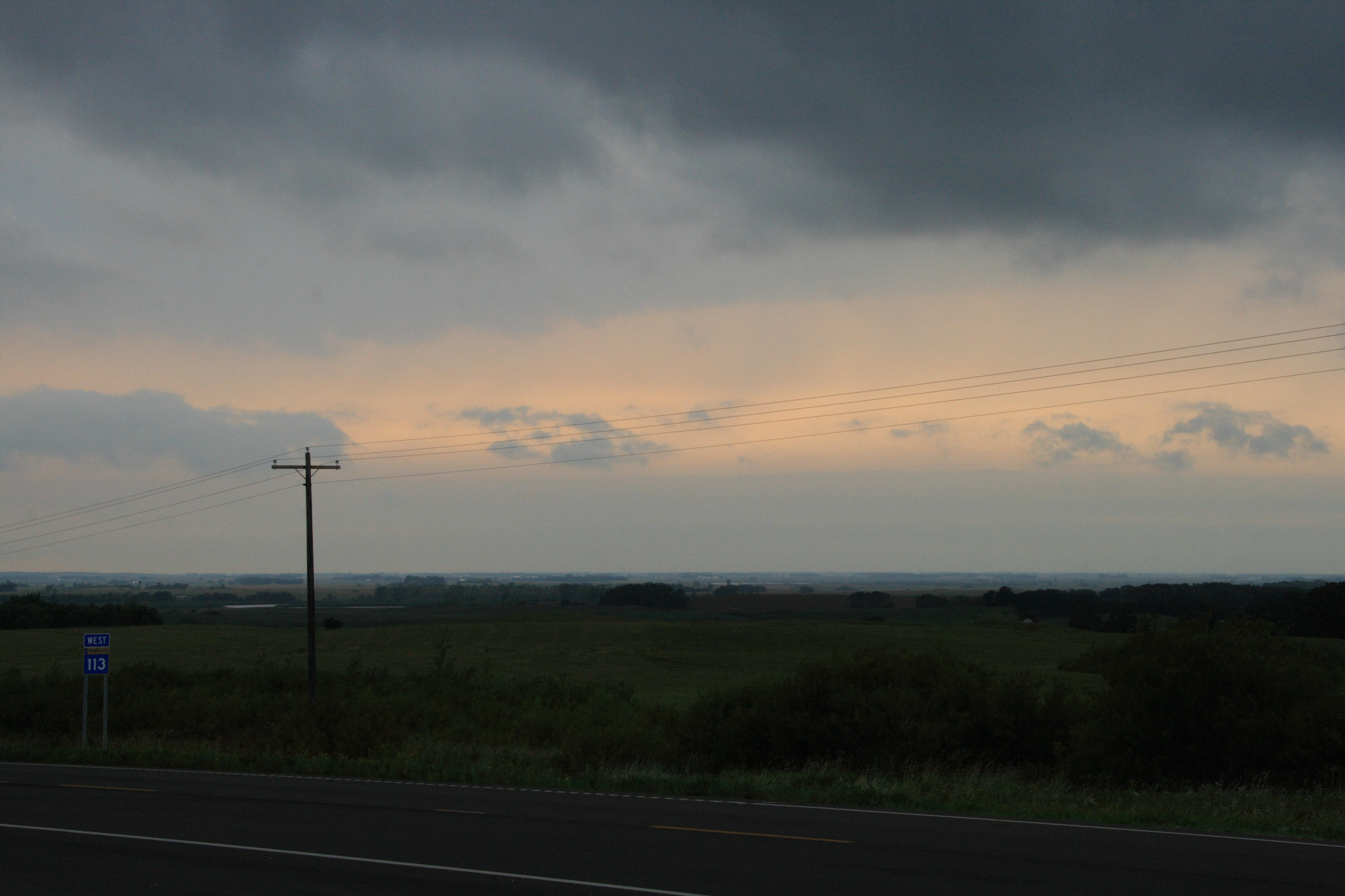
Back in White Earth

White Earth dirt road
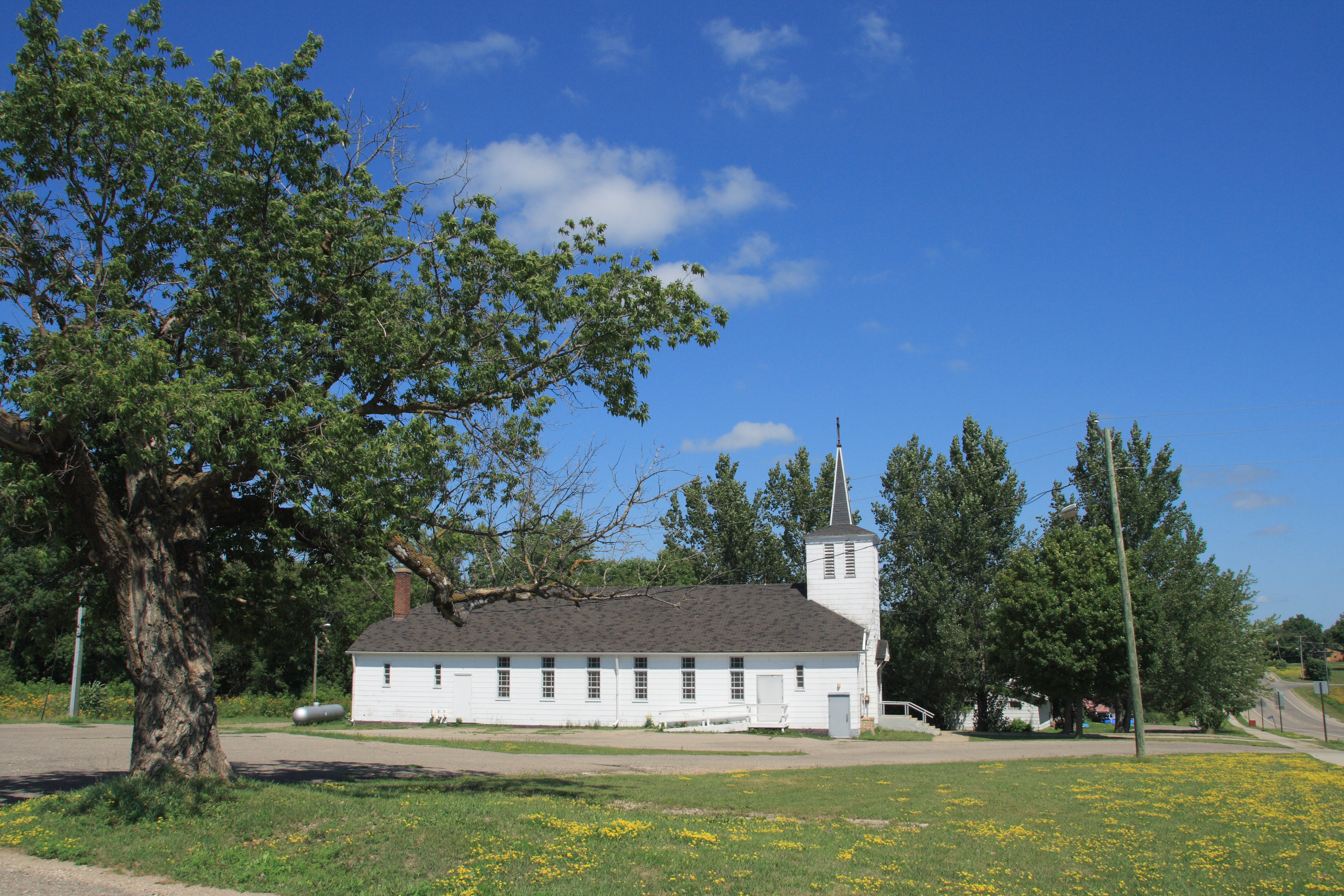
St. Benedict's church
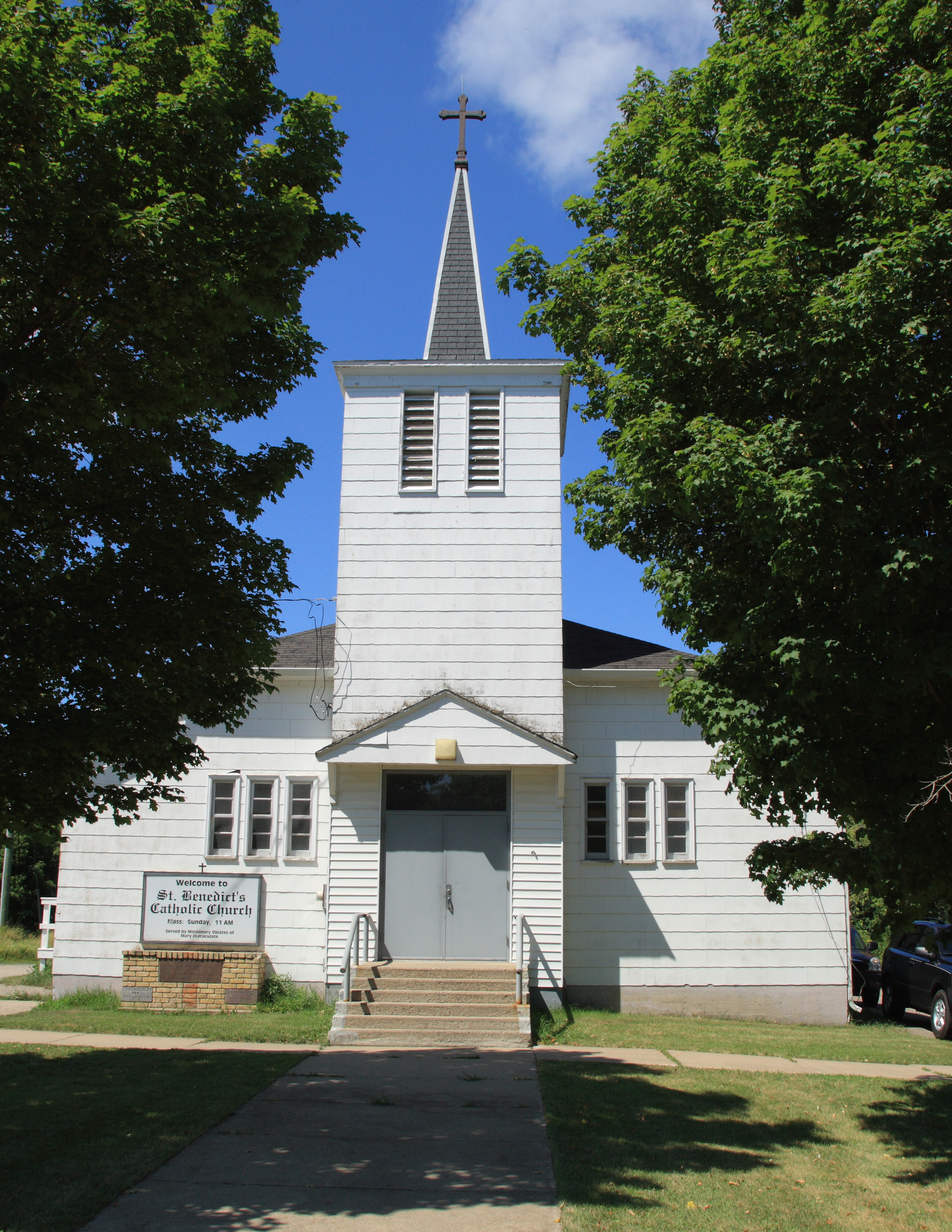
St. Benedict's church

Swing and a miss

IMG_3369 crop
Topographic Map of County Rd 34, Ogema, MN, USA
Find elevation by address:

Places near County Rd 34, Ogema, MN, USA:
White Earth Township
Pleasant Ave, Waubun, MN, USA
White Earth
Co Rd, Lake Park, MN, USA
Waubun
10 Wisconsin St, Callaway, MN, USA
Callaway
Westbury
23649 Us-59
White Earth Reservation
Atlanta Township
Oakland Township
13489 310 St
123 N Main St
Detroit Township
Co Rd 3, Mahnomen, MN, USA
US-10, Lake Park, MN, USA
US-10, Detroit Lakes, MN, USA
Snider Lake
Lake Park
Recent Searches:
- Elevation of Shibuya Scramble Crossing, 21 Udagawacho, Shibuya City, Tokyo -, Japan
- Elevation of Jadagoniai, Kaunas District Municipality, Lithuania
- Elevation of Pagonija rock, Kranto 7-oji g. 8"N, Kaunas, Lithuania
- Elevation of Co Rd 87, Jamestown, CO, USA
- Elevation of Tenjo, Cundinamarca, Colombia
- Elevation of Côte-des-Neiges, Montreal, QC H4A 3J6, Canada
- Elevation of Bobcat Dr, Helena, MT, USA
- Elevation of Zu den Ihlowbergen, Althüttendorf, Germany
- Elevation of Badaber, Peshawar, Khyber Pakhtunkhwa, Pakistan
- Elevation of SE Heron Loop, Lincoln City, OR, USA