Elevation of County Rd 30.1, Weston, CO, USA
Location: United States > Colorado > Costilla County > Weston >
Longitude: -104.80119
Latitude: 37.2034864
Elevation: 2238m / 7342feet
Barometric Pressure: 77KPa
Elevation Map:
Satellite Map:
Related Photos:
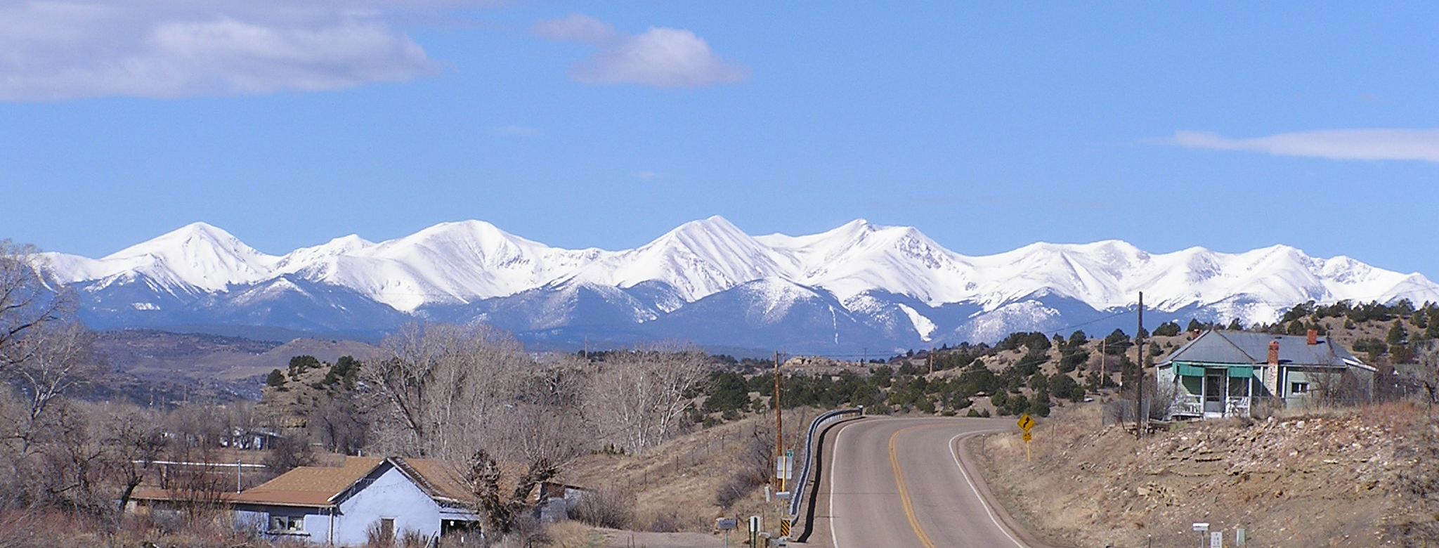
Culebra Peak
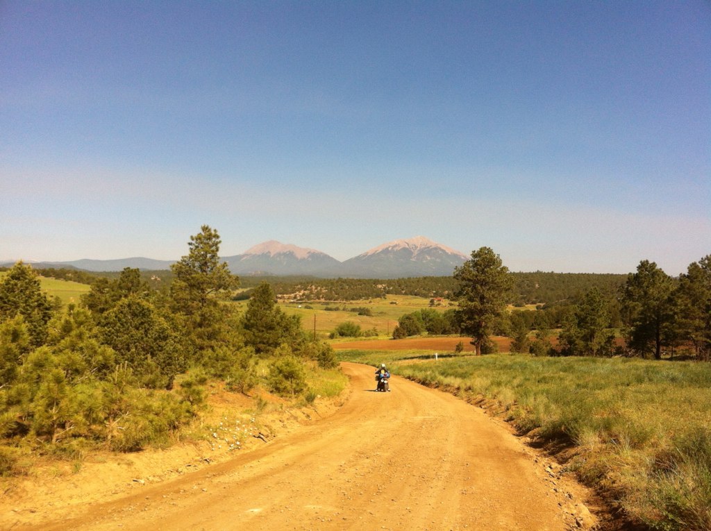
trans am trail CO

P1210886 (2)

Pepsi General [explore]

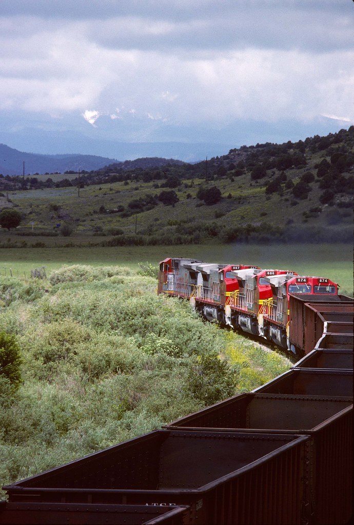
Colorado and Wyoming Railway slag train east of Segundo, CO - 1902

Surviving bottlecap
Colorado & Wyoming RR in CO
UNIQUE! Adobe House on the Bridge, Highway of Legends, Southern Colorado
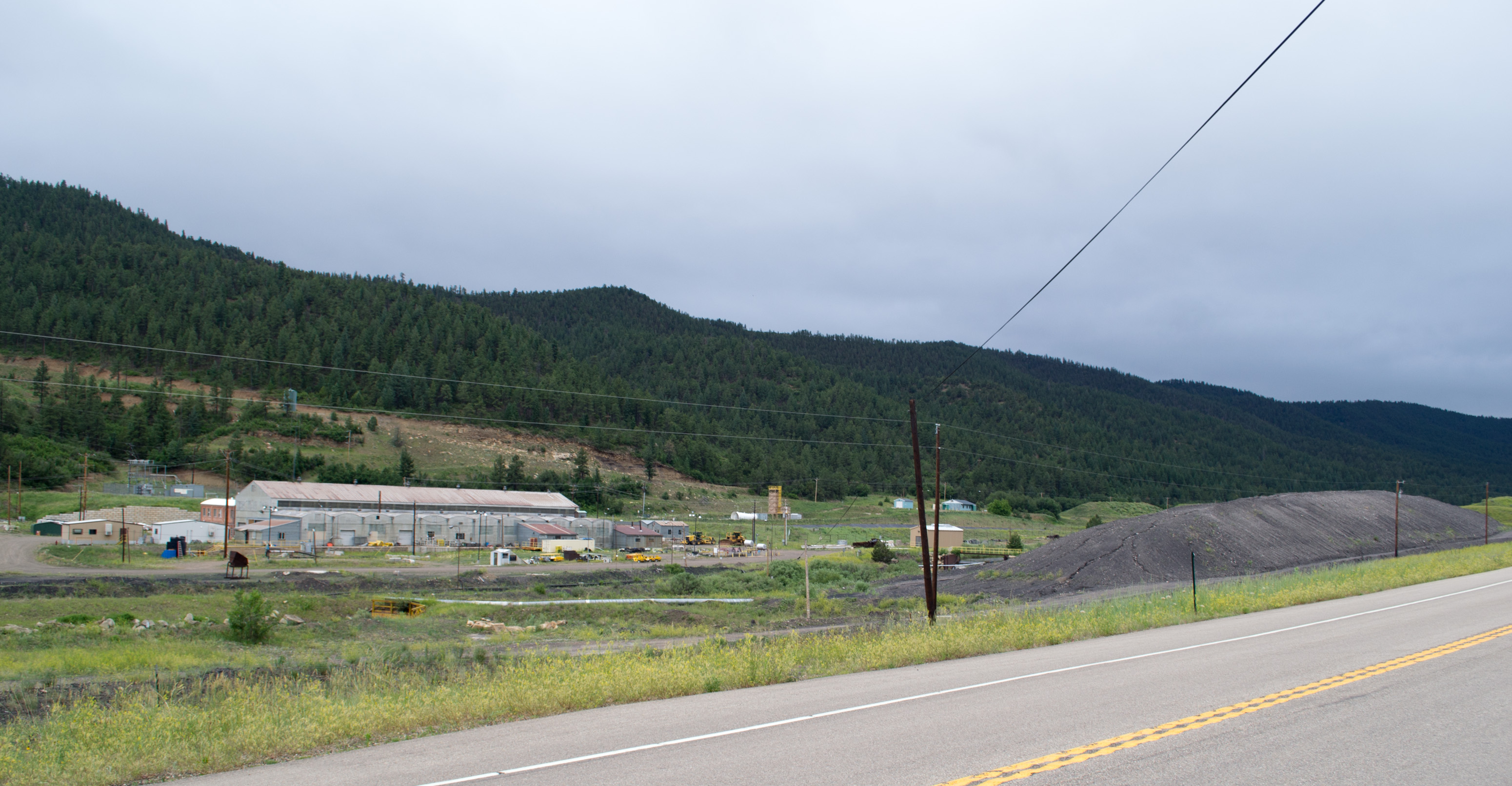
New Elk Coal Co (# 0066)
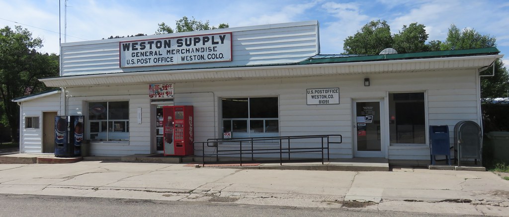
Post Office 81091 (Weston, Colorado)

Relic church near Valdez

Remote Past
Topographic Map of County Rd 30.1, Weston, CO, USA
Find elevation by address:

Places near County Rd 30.1, Weston, CO, USA:
14600 County Rd 30.1
19900 Blue Jay Ln
Meadow Lark Drive
Meadow Lark Drive
Meadow Lark Drive
19000 Arrowhead Dr
County Road 41.7
County Road 41.7
County Road 41.7
County Road 41.7
Arrowhead Drive
Arrowhead Drive
12950 County Rd 41.7
13704 Silver Spruce Cir
13302 Silver Spruce Cir
Ridge Road
Lark Bunting Lane
13900 W Point Rd
13900 W Point Rd
13900 W Point Rd
Recent Searches:
- Elevation of South Yankee Meadow Road, Forest Road, Paragonah, UT, USA
- Elevation of SW Elderview Dr, Sherwood, OR, USA
- Elevation of Hickory St, Greenville, NC, USA
- Elevation of Poplar Ln, Guffey, CO, USA
- Elevation of Falling Spring Rd, Clyde, NC, USA
- Elevation of Kingsfield St, Castle Rock, CO, USA
- Elevation of AMELIA CT HSE, VA, USA
- Elevation of Abbey Dr, Virginia Beach, VA, USA
- Elevation of Brooks Lp, Spearfish, SD, USA
- Elevation of Panther Dr, Maggie Valley, NC, USA