Elevation of W Point Rd, Weston, CO, USA
Location: United States > Colorado > Costilla County > Weston >
Longitude: -104.84849
Latitude: 37.1701854
Elevation: 2312m / 7585feet
Barometric Pressure: 76KPa
Elevation Map:
Satellite Map:
Related Photos:
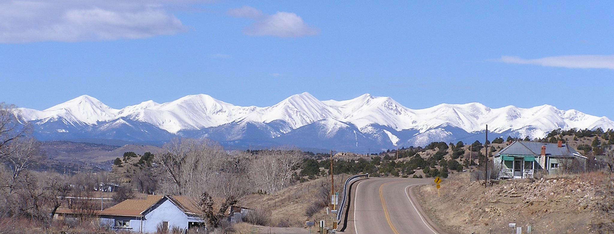
Culebra Peak

P1210886 (2)

Pepsi General [explore]

Surviving bottlecap

Colorado and Wyoming Railway slag train east of Segundo, CO - 1902
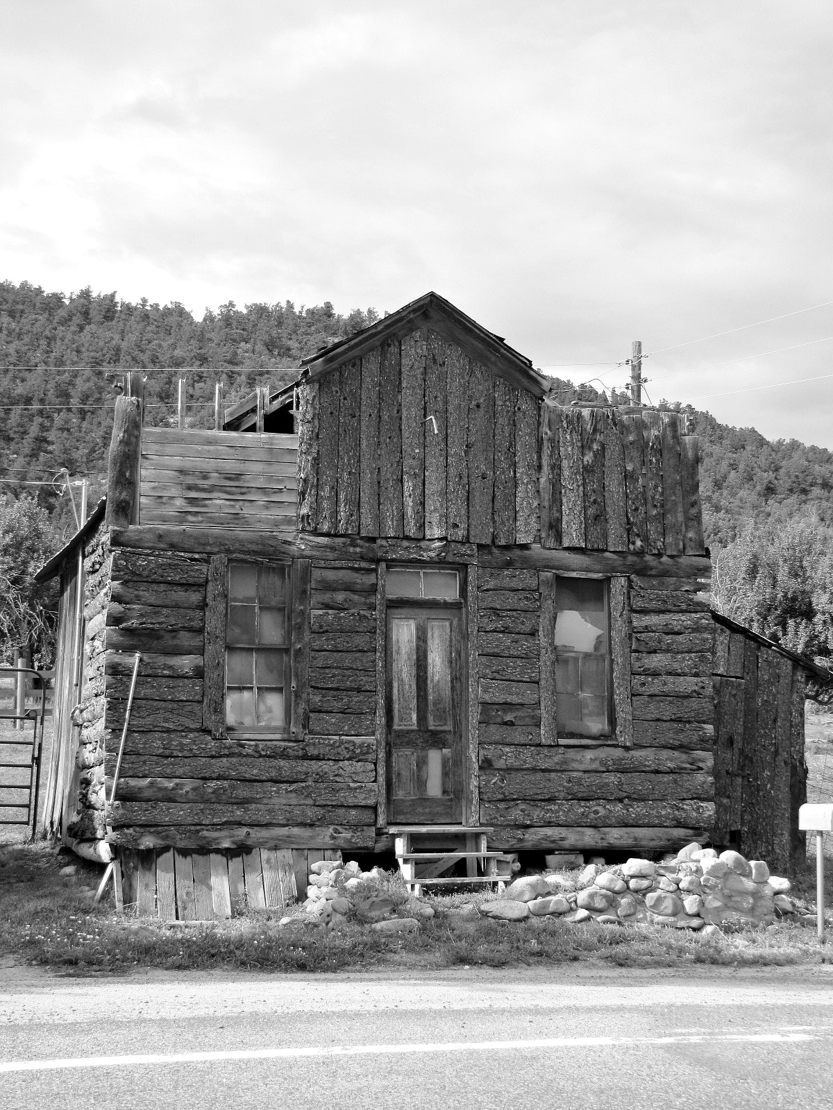
Split log faced

Double pen cabin
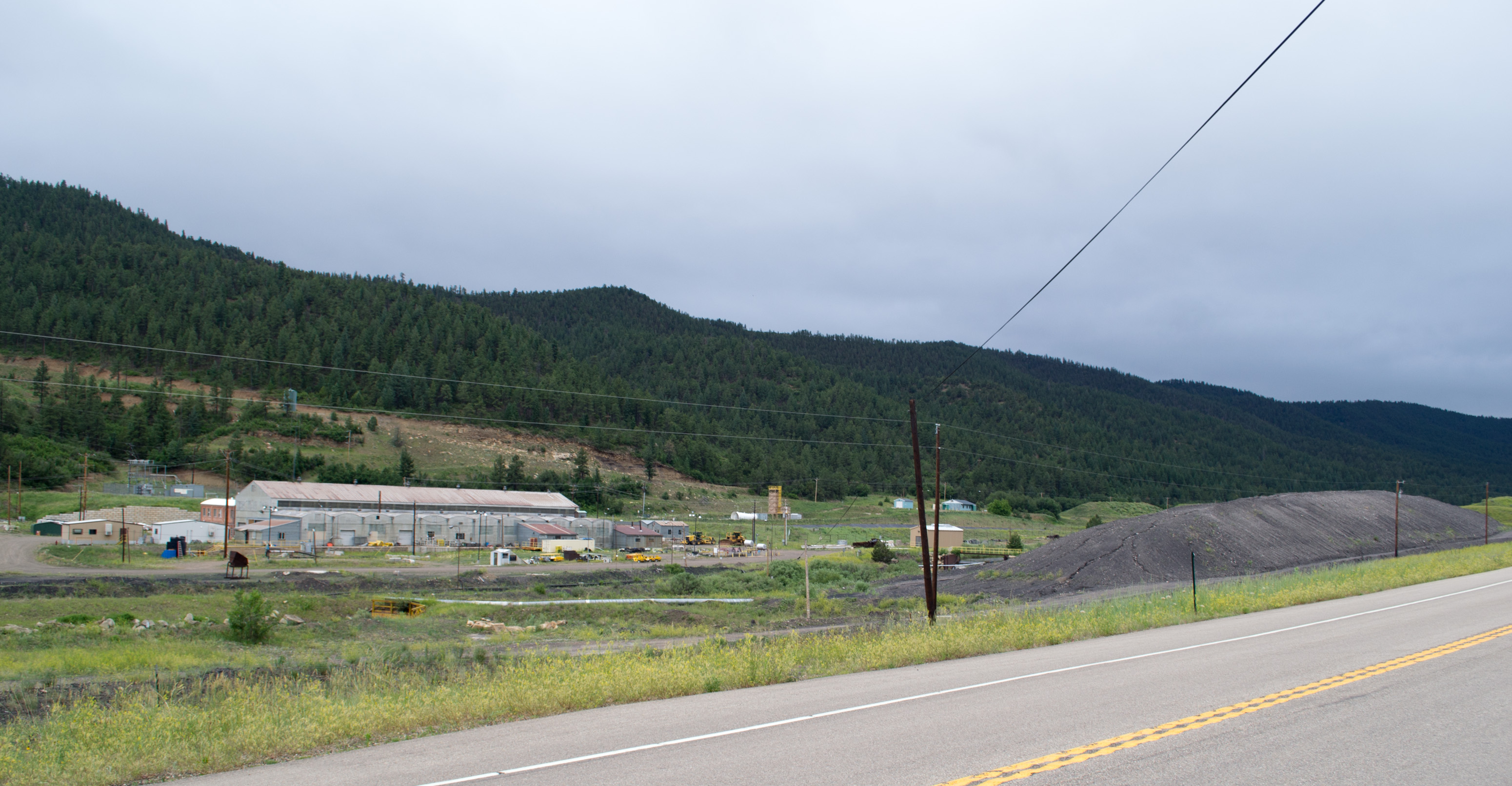
New Elk Coal Co (# 0066)
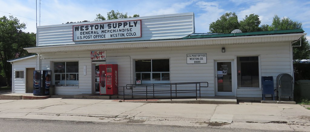
Post Office 81091 (Weston, Colorado)

Relic church near Valdez

Log cabins in Stonewall
Topographic Map of W Point Rd, Weston, CO, USA
Find elevation by address:

Places near W Point Rd, Weston, CO, USA:
13900 W Point Rd
13900 W Point Rd
12240 Big Pine Ridge Rd
West Point Road
Weston
16900 Co-12
County Road 41.7
County Road 41.7
County Road 41.7
County Road 41.7
United States Postal Service
CO-12, Weston, CO, USA
Timber Ridge Road
12950 County Rd 41.7
Meadow Lark Drive
Meadow Lark Drive
Meadow Lark Drive
19900 Blue Jay Ln
14600 County Rd 30.1
Spanish Peaks Trail
Recent Searches:
- Elevation of Elwyn Dr, Roanoke Rapids, NC, USA
- Elevation of Congressional Dr, Stevensville, MD, USA
- Elevation of Bellview Rd, McLean, VA, USA
- Elevation of Stage Island Rd, Chatham, MA, USA
- Elevation of Shibuya Scramble Crossing, 21 Udagawacho, Shibuya City, Tokyo -, Japan
- Elevation of Jadagoniai, Kaunas District Municipality, Lithuania
- Elevation of Pagonija rock, Kranto 7-oji g. 8"N, Kaunas, Lithuania
- Elevation of Co Rd 87, Jamestown, CO, USA
- Elevation of Tenjo, Cundinamarca, Colombia
- Elevation of Côte-des-Neiges, Montreal, QC H4A 3J6, Canada