Elevation of County Rd 16, Vina, AL, USA
Location: United States > Alabama > Franklin County > Vina >
Longitude: -88.022917
Latitude: 34.4505847
Elevation: 226m / 741feet
Barometric Pressure: 99KPa
Elevation Map:
Satellite Map:
Related Photos:

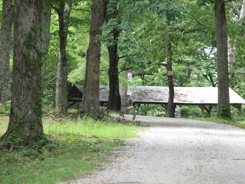
Mystic Falls...

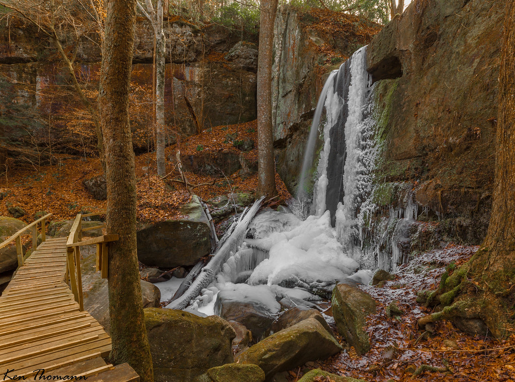
Rock Bridge Canyon Falls

Mystic Falls...
Old Mill Falls...

Natchez Trace Trip

Thomas' Old Stomping Grounds
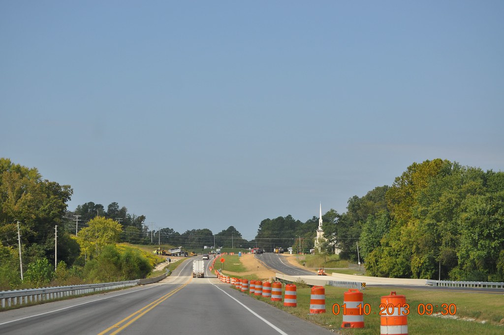
Traveling Home from Red Bay
Traveling to Red Bay
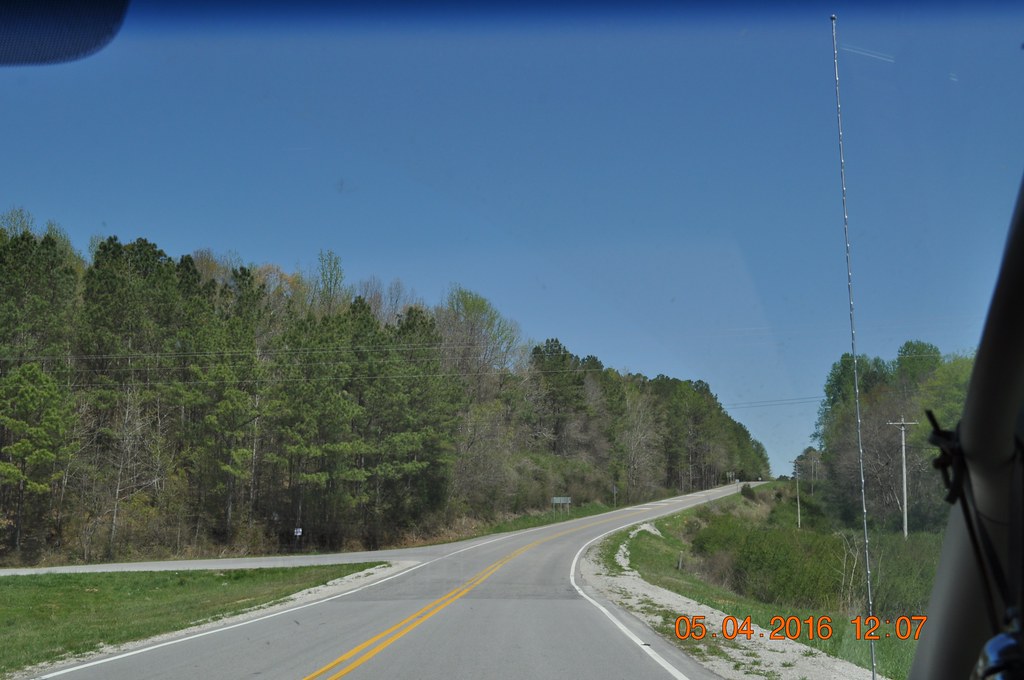
Traveling to Red Bay
Traveling to Red Bay
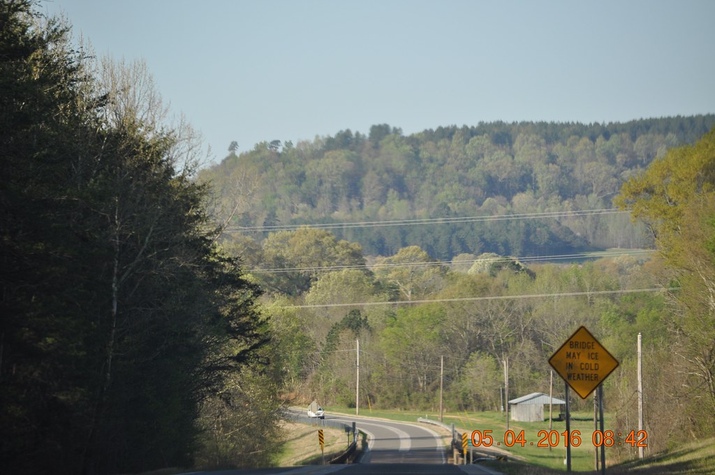
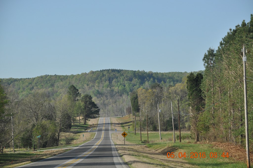
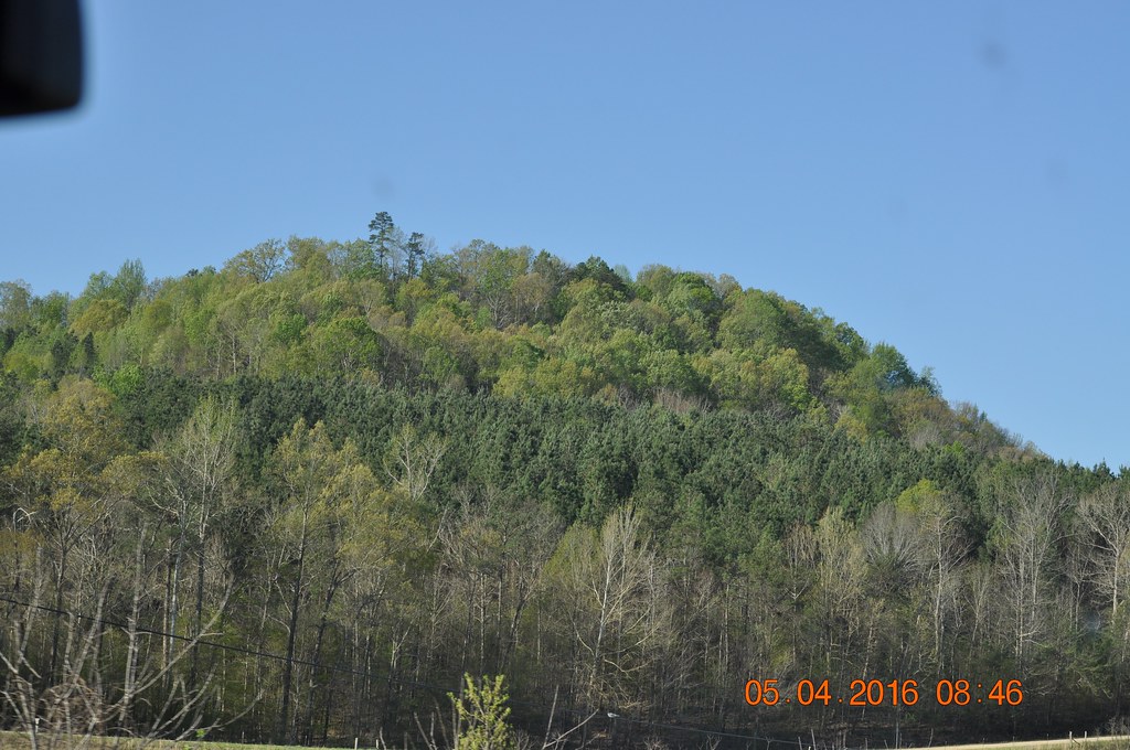
Hwy 24 West Franklin Co Al

Hwy 24 West Franklin Co Al

Hwy 24 West Franklin Co Al

Coon Dog Cemetery

Coon Dog Cemetery
Coon Dog Cemetery
Topographic Map of County Rd 16, Vina, AL, USA
Find elevation by address:

Places near County Rd 16, Vina, AL, USA:
Vina
227 Freedom Hills Rd
395 Freedom Hills Rd
Red Bay
4th Ave S, Red Bay, AL, USA
Hodges
AL-, Russellville, AL, USA
790 County Rd 33
Rock Creek Church Of Christ
AL-, Hodges, AL, USA
County Road 57
Cedar Creek Ridge Farms
Co Rd 13, Vina, AL, USA
AL-, Hackleburg, AL, USA
12270 Al-172
3040 Co Rd 167
Mt Mills Rd, Tuscumbia, AL, USA
1099 Frankfort Rd
Mt Gilead Rd, Fulton, MS, USA
Goggans Road
Recent Searches:
- Elevation of Dog Leg Dr, Minden, NV, USA
- Elevation of Dog Leg Dr, Minden, NV, USA
- Elevation of Kambingan Sa Pansol Atbp., Purok 7 Pansol, Candaba, Pampanga, Philippines
- Elevation of Pinewood Dr, New Bern, NC, USA
- Elevation of Mountain View, CA, USA
- Elevation of Foligno, Province of Perugia, Italy
- Elevation of Blauwestad, Netherlands
- Elevation of Bella Terra Blvd, Estero, FL, USA
- Elevation of Estates Loop, Priest River, ID, USA
- Elevation of Woodland Oak Pl, Thousand Oaks, CA, USA