Elevation of Cougar Creek Road, Cougar Creek Rd, Washington, USA
Location: United States > Washington > Okanogan County > Wauconda >
Longitude: -118.90135
Latitude: 48.7603194
Elevation: 1018m / 3340feet
Barometric Pressure: 90KPa
Elevation Map:
Satellite Map:
Related Photos:
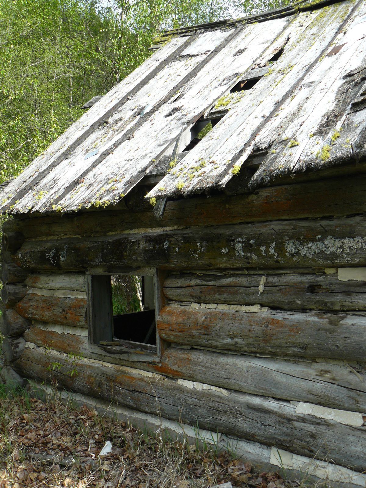
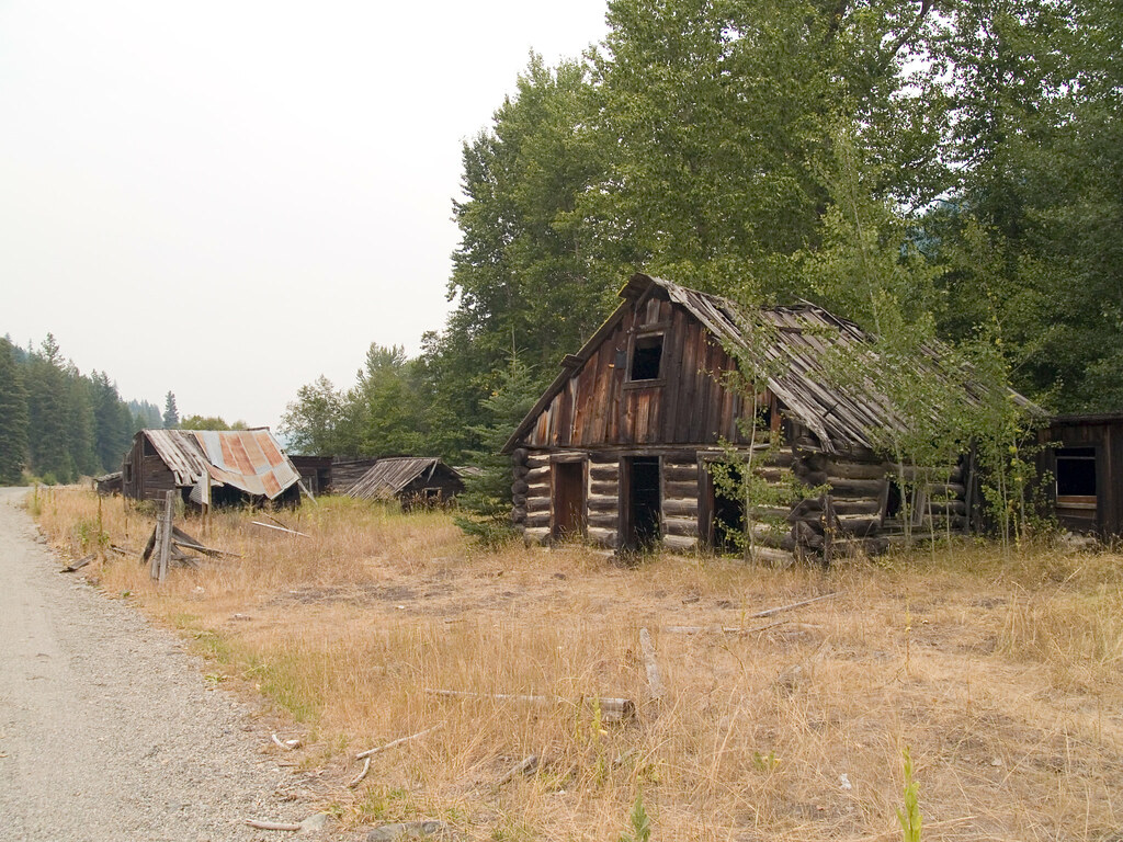
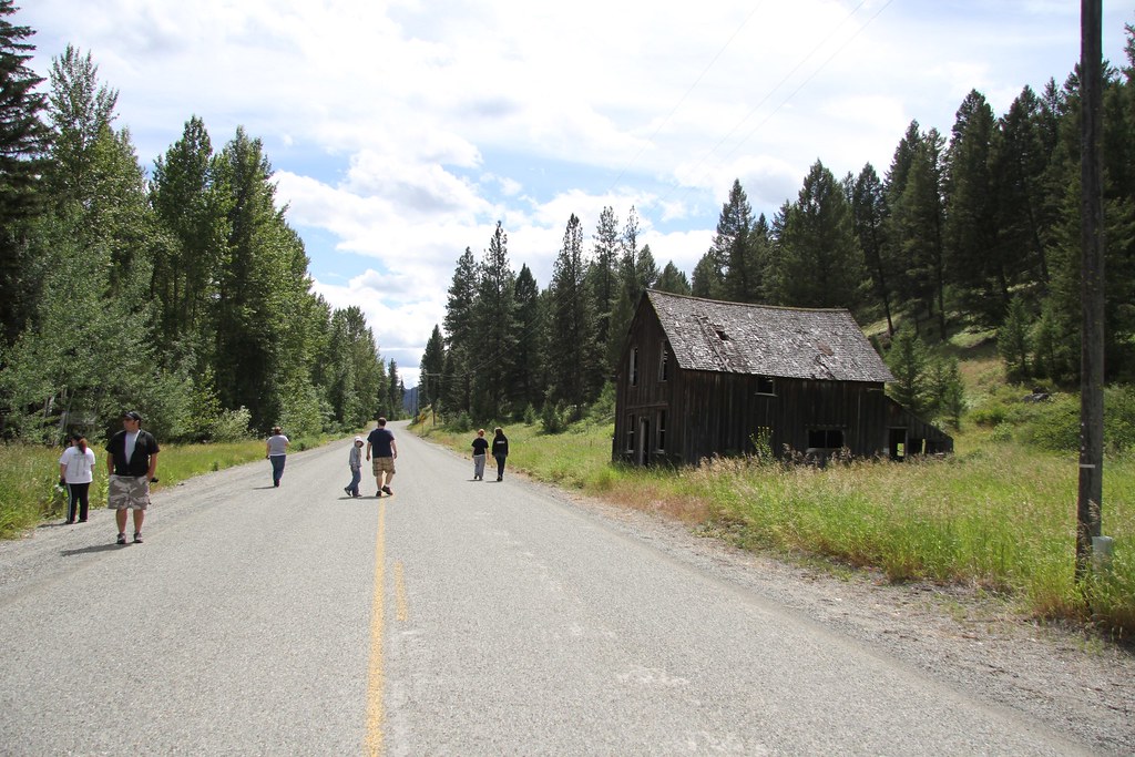
Log house close
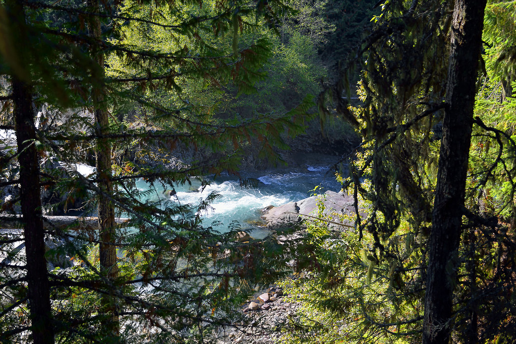
WALK ON THE WILD SIDE (A JOURNEY TO THE TRAIN WRECK AT FUNCTION JUNCTION, BC) (21)
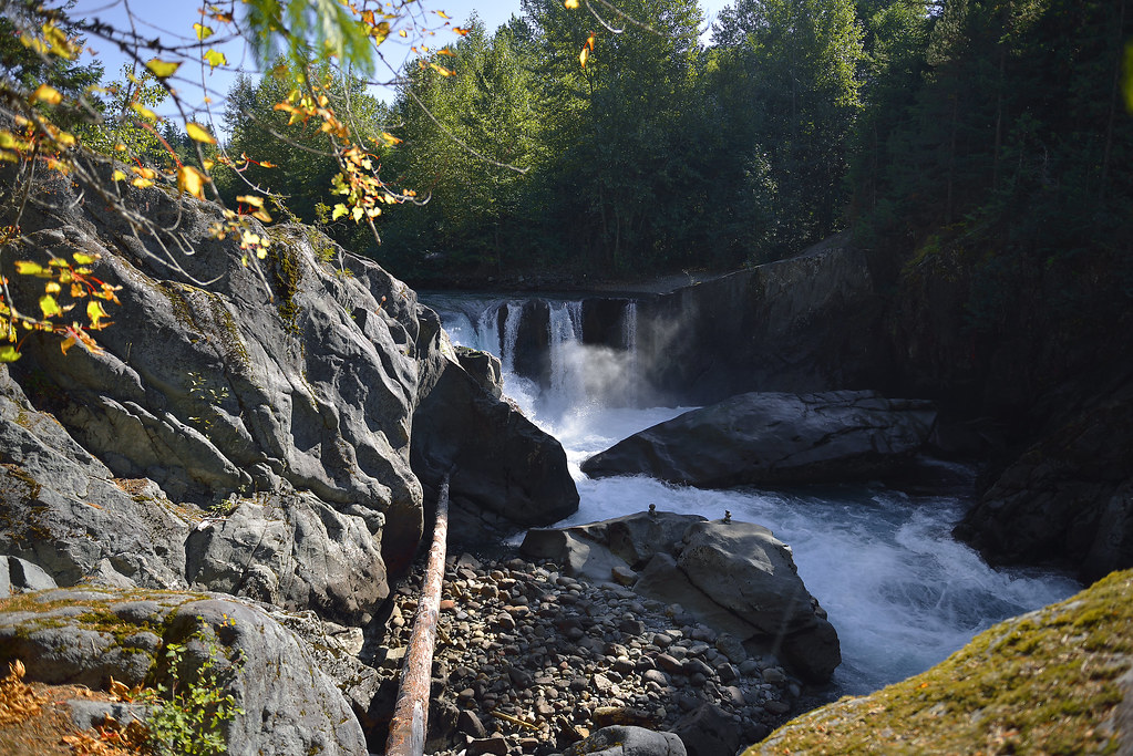
WALK ON THE WILD SIDE ( A JOURNEY TO THE TRAIN WRECK AT FUNCTION JUNCTION, BC) (31)

The Pflug Mansion
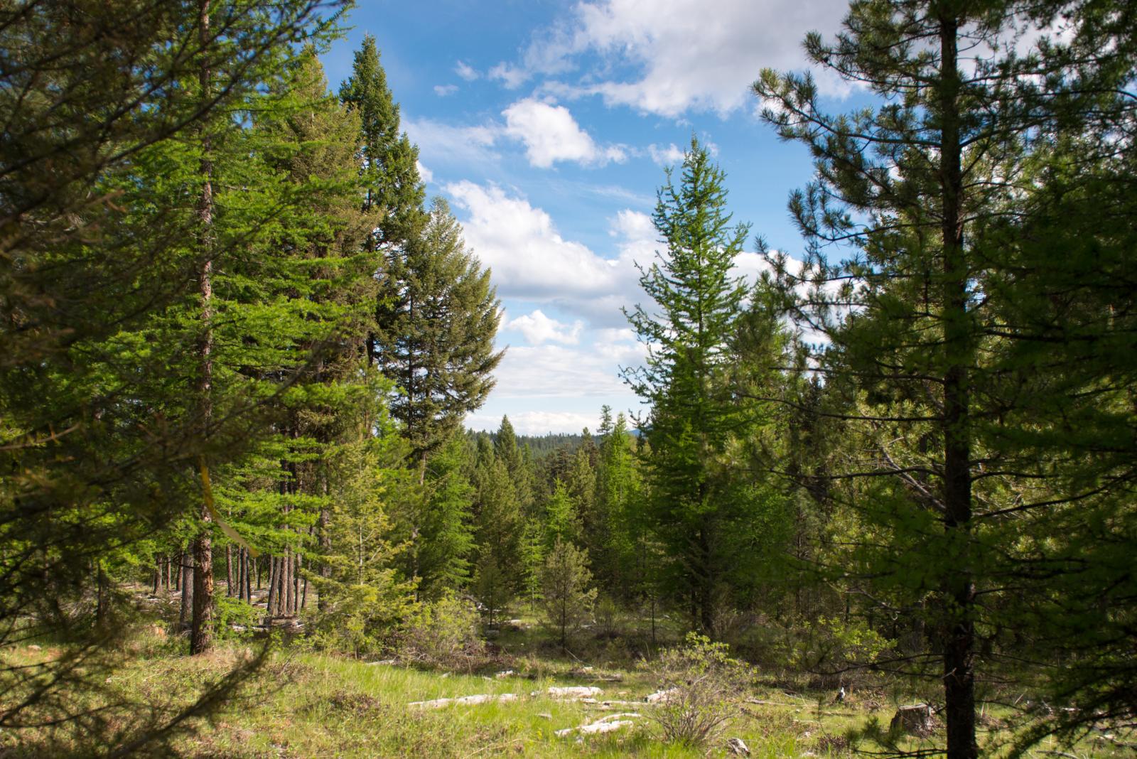
Okanogan National Forest near Fir Mountain
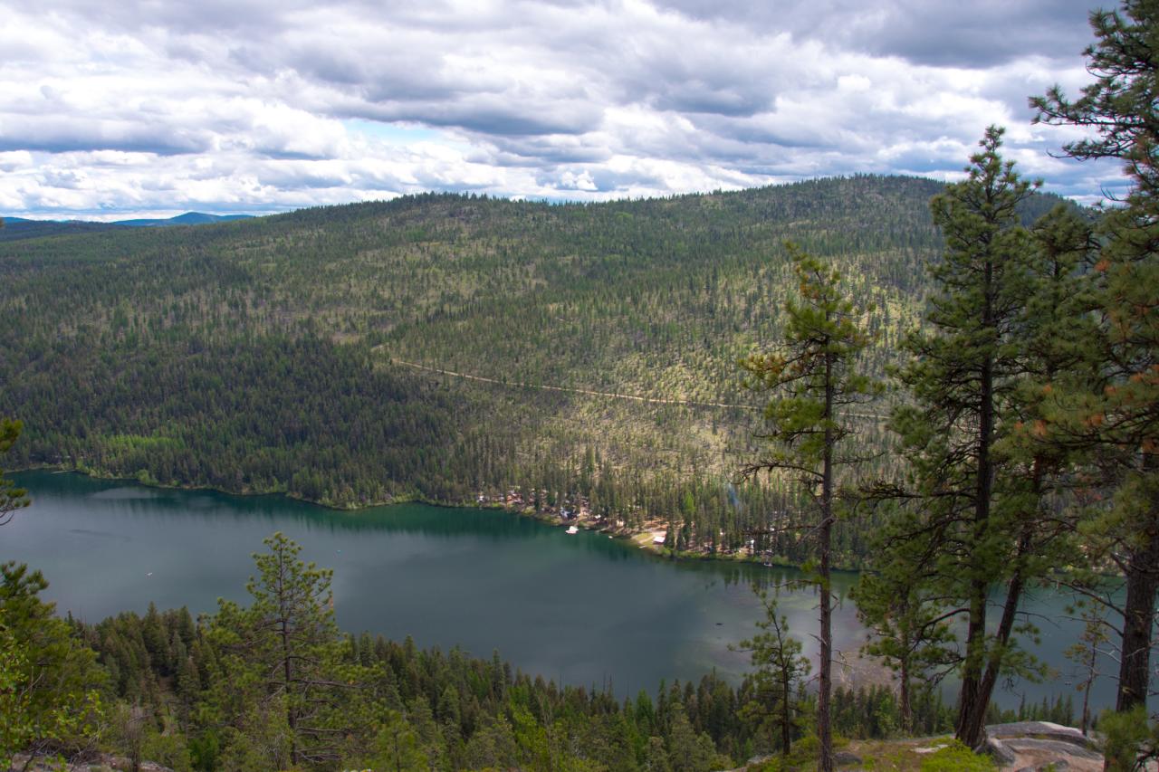
Bonaparte Lake and the Bonaparte Lake Resort from the Pacific Northwest Trail
The Ghosts of Bodie
Haufle Cousins Camping 2011 6006

Looking down at Bonaparte Lake from the Pacific Northwest Trail on the eastern slope of Mt. Bonaparte
Haufle Cousins Camping 2011 6085
Haufle Cousins Camping 2011 5722
SR-20

Bonaparte Lake panorama from the Pacific Northwest Trail
SR-20 at Wauconda Pass
Topographic Map of Cougar Creek Road, Cougar Creek Rd, Washington, USA
Find elevation by address:

Places near Cougar Creek Road, Cougar Creek Rd, Washington, USA:
15 Cougar Creek Rd, Wauconda, WA, USA
113 Sheridan Rd
2495 Wa-20
249 Toroda Creek Rd
766 Sqove Rd
3483 Wa-20
WA-20, Wauconda, WA, USA
Wauconda
2360 Wa-20
29775 Wa-20
168 Prior Loop Rd
79 Goodrich Rd
Bonaparte Lake Campground
95 Goodrich Rd
63 Bacon Creek Dr
Big Boulder Lane
East Knob Hill Road
Frosty Creek Road
125 Wapato Rd
125 Wapato Rd
Recent Searches:
- Elevation of Côte-des-Neiges, Montreal, QC H4A 3J6, Canada
- Elevation of Bobcat Dr, Helena, MT, USA
- Elevation of Zu den Ihlowbergen, Althüttendorf, Germany
- Elevation of Badaber, Peshawar, Khyber Pakhtunkhwa, Pakistan
- Elevation of SE Heron Loop, Lincoln City, OR, USA
- Elevation of Slanický ostrov, 01 Námestovo, Slovakia
- Elevation of Spaceport America, Co Rd A, Truth or Consequences, NM, USA
- Elevation of Warwick, RI, USA
- Elevation of Fern Rd, Whitmore, CA, USA
- Elevation of 62 Abbey St, Marshfield, MA, USA