Elevation of Cougar Creek Rd, Oakland, OR, USA
Location: United States > Oregon > Douglas County > Oakland >
Longitude: -123.54201
Latitude: 43.476012
Elevation: 82m / 269feet
Barometric Pressure: 100KPa
Elevation Map:
Satellite Map:
Related Photos:
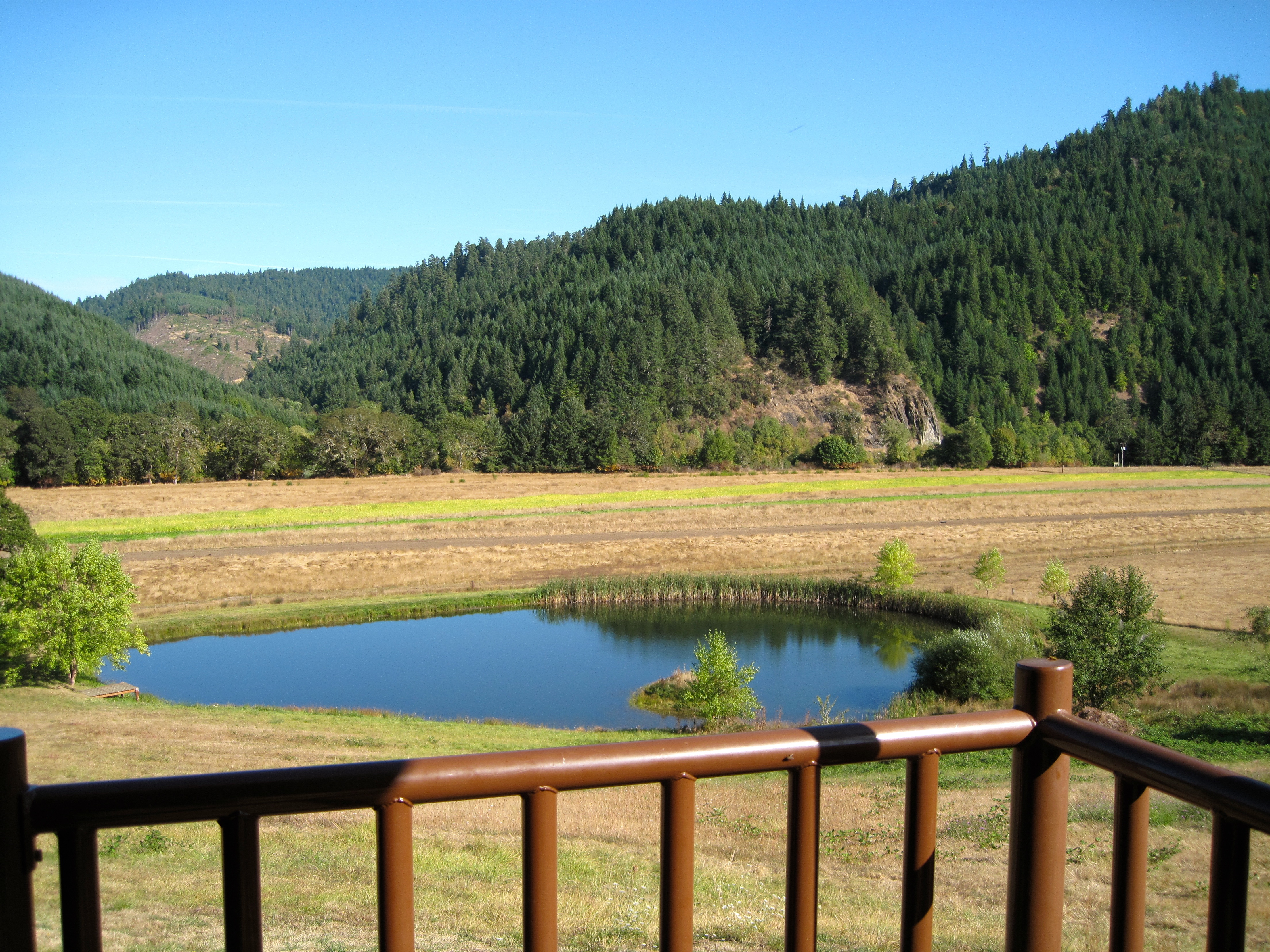
View from Big K Lodge
View from our grocery store!
Lighthouse parking lot view! We buy bread and veggies here!

A Forest near Roseburg, Oregon
Umpqua near Hubbard Creek Rd

Where warm and cold meet

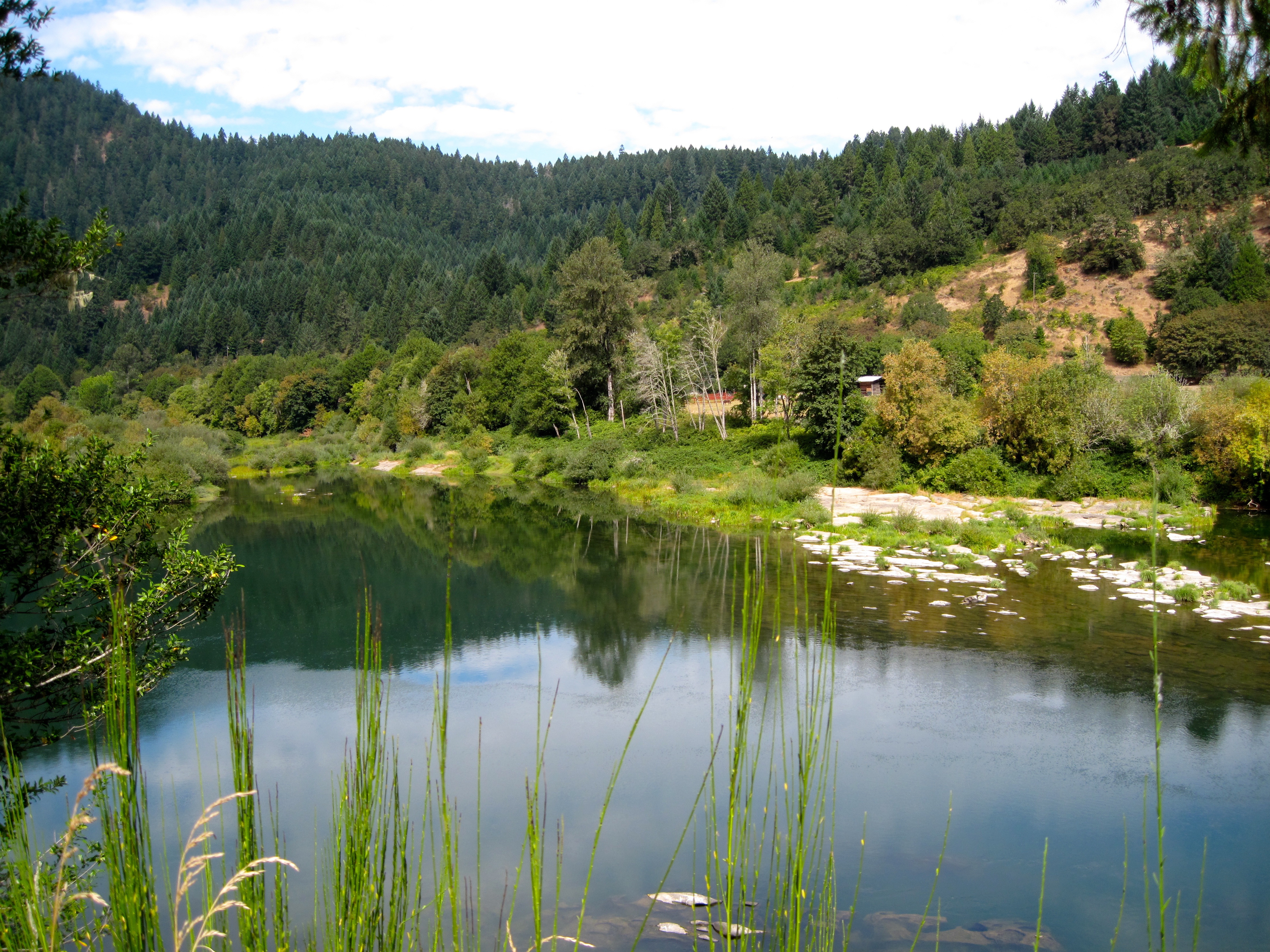
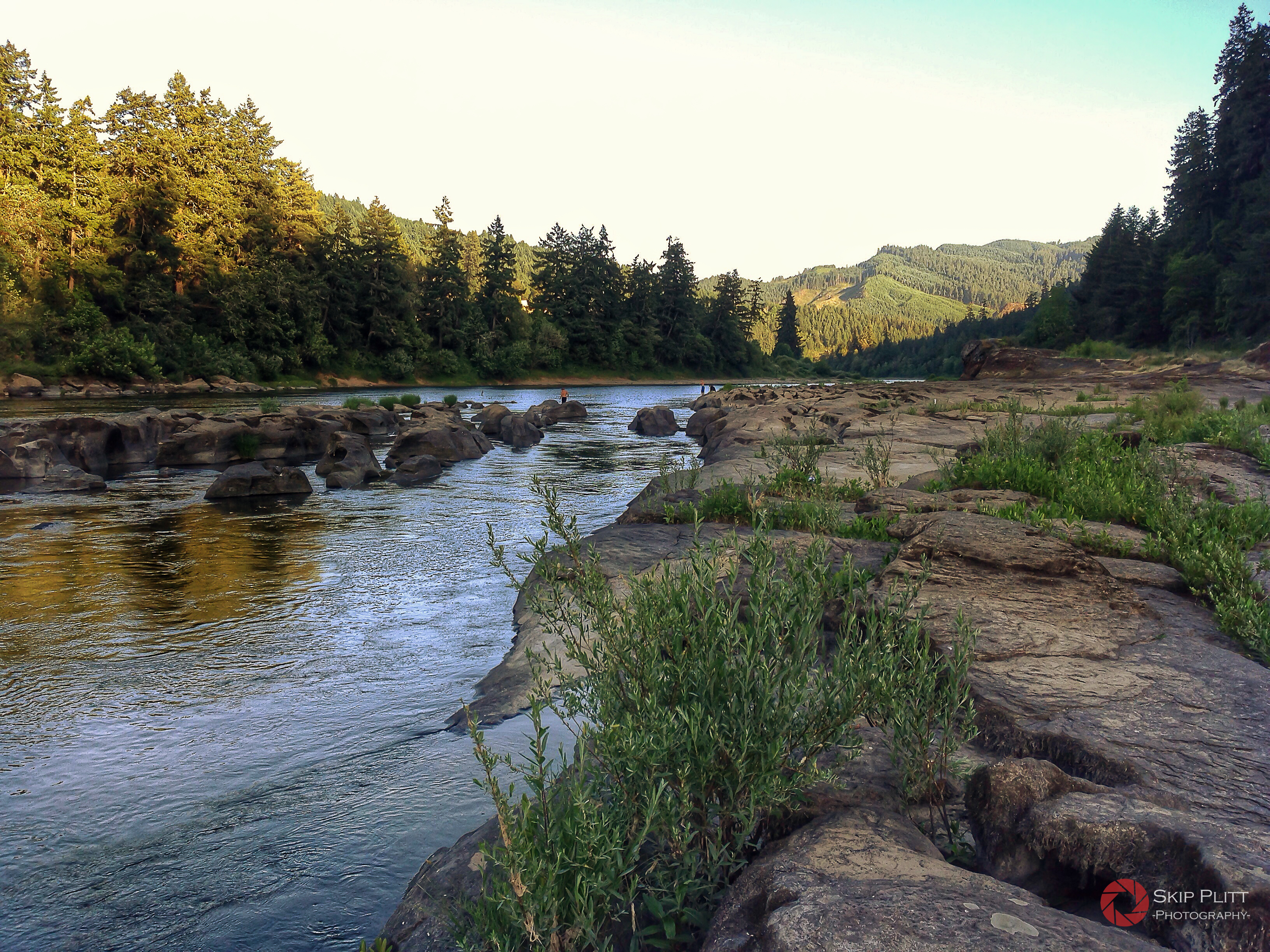
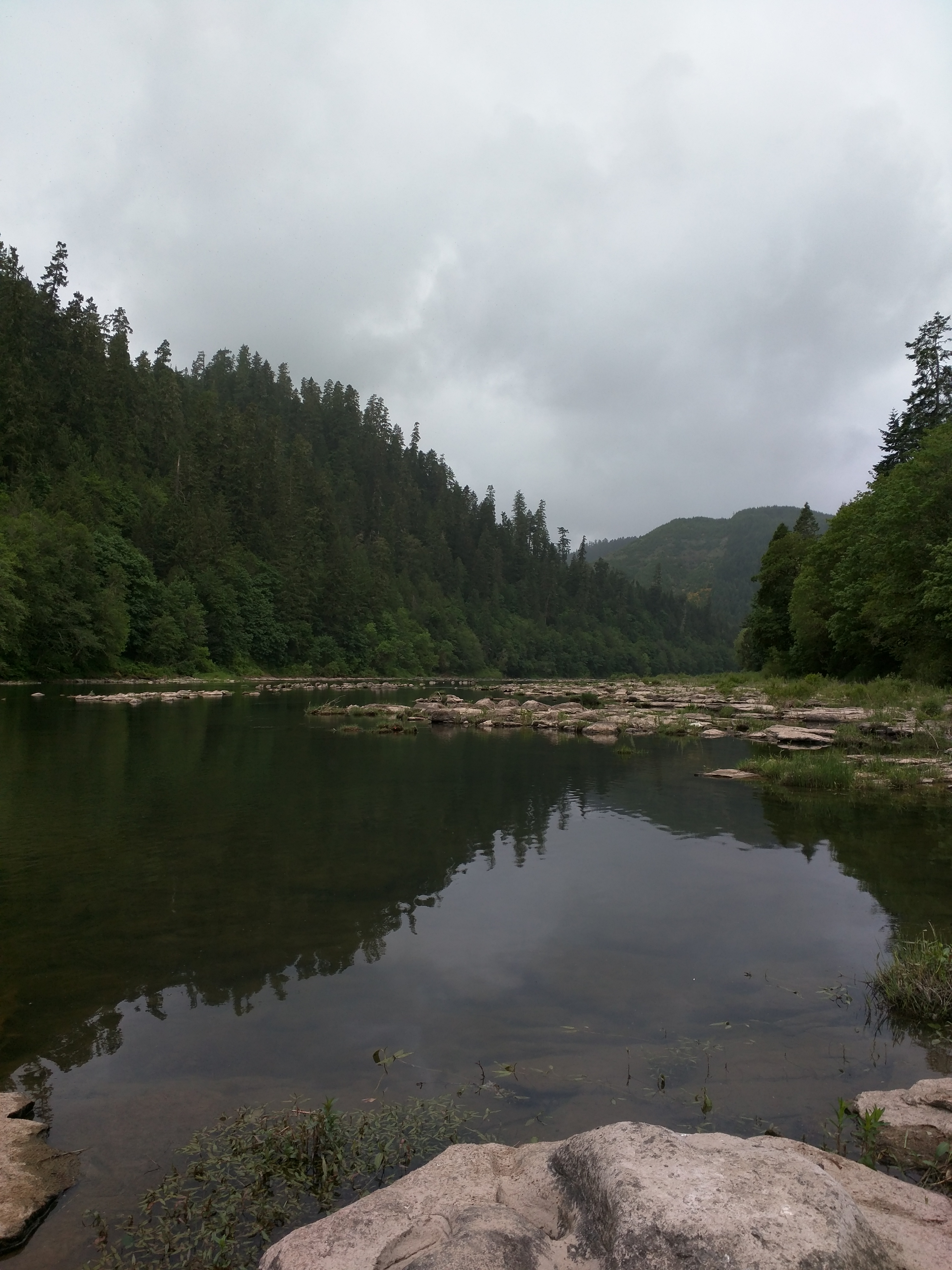
Umpqua River

Umpqua River

field mist

Umpqua River
The Umpqua River, Tyee, Oregon
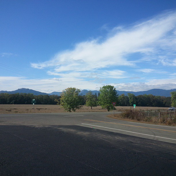
Road trip

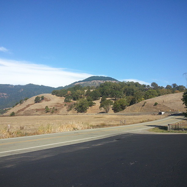
Road trip

Just moved to umpqua Oregon

Road trip

Weyerhaeuser Forest DSC06316
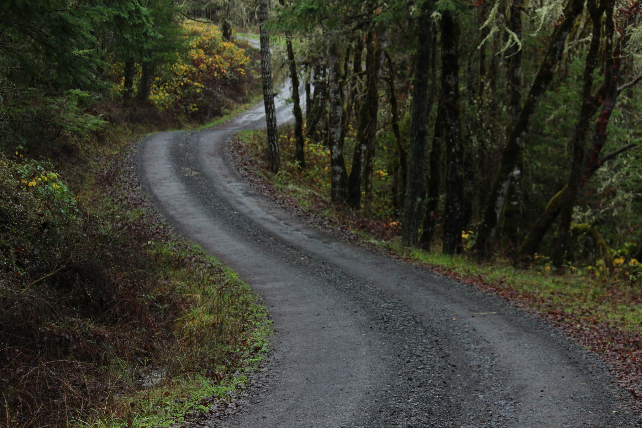
Roads a swirlin'

Umpqua River

Umpqua River

Umpqua River

Umpqua River

Umpqua River
Topographic Map of Cougar Creek Rd, Oakland, OR, USA
Find elevation by address:

Places near Cougar Creek Rd, Oakland, OR, USA:
Tyee
State Highway 138 West
340 Woodruff Mountain Rd
Scott Henry Rd, Oakland, OR, USA
2716 Golfview Ave
2082 Culver Loop
2084 Culver Loop
1055 Donruss Dr
999 Old Hwy 99 N
210 E 4th Ave
Sutherlin
115 Locust St
Oakland
238 Se Pear St
Wilbur
Old Hwy 99 N, Roseburg, OR, USA
1121 E 3rd Ave
356 Fawn Ridge Dr
Rice Hill
Winchester
Recent Searches:
- Elevation of Corso Fratelli Cairoli, 35, Macerata MC, Italy
- Elevation of Tallevast Rd, Sarasota, FL, USA
- Elevation of 4th St E, Sonoma, CA, USA
- Elevation of Black Hollow Rd, Pennsdale, PA, USA
- Elevation of Oakland Ave, Williamsport, PA, USA
- Elevation of Pedrógão Grande, Portugal
- Elevation of Klee Dr, Martinsburg, WV, USA
- Elevation of Via Roma, Pieranica CR, Italy
- Elevation of Tavkvetili Mountain, Georgia
- Elevation of Hartfords Bluff Cir, Mt Pleasant, SC, USA