Elevation of Old Hwy 99 N, Roseburg, OR, USA
Location: United States > Oregon > Douglas County > Roseburg >
Longitude: -123.34065
Latitude: 43.320775
Elevation: 143m / 469feet
Barometric Pressure: 100KPa
Elevation Map:
Satellite Map:
Related Photos:
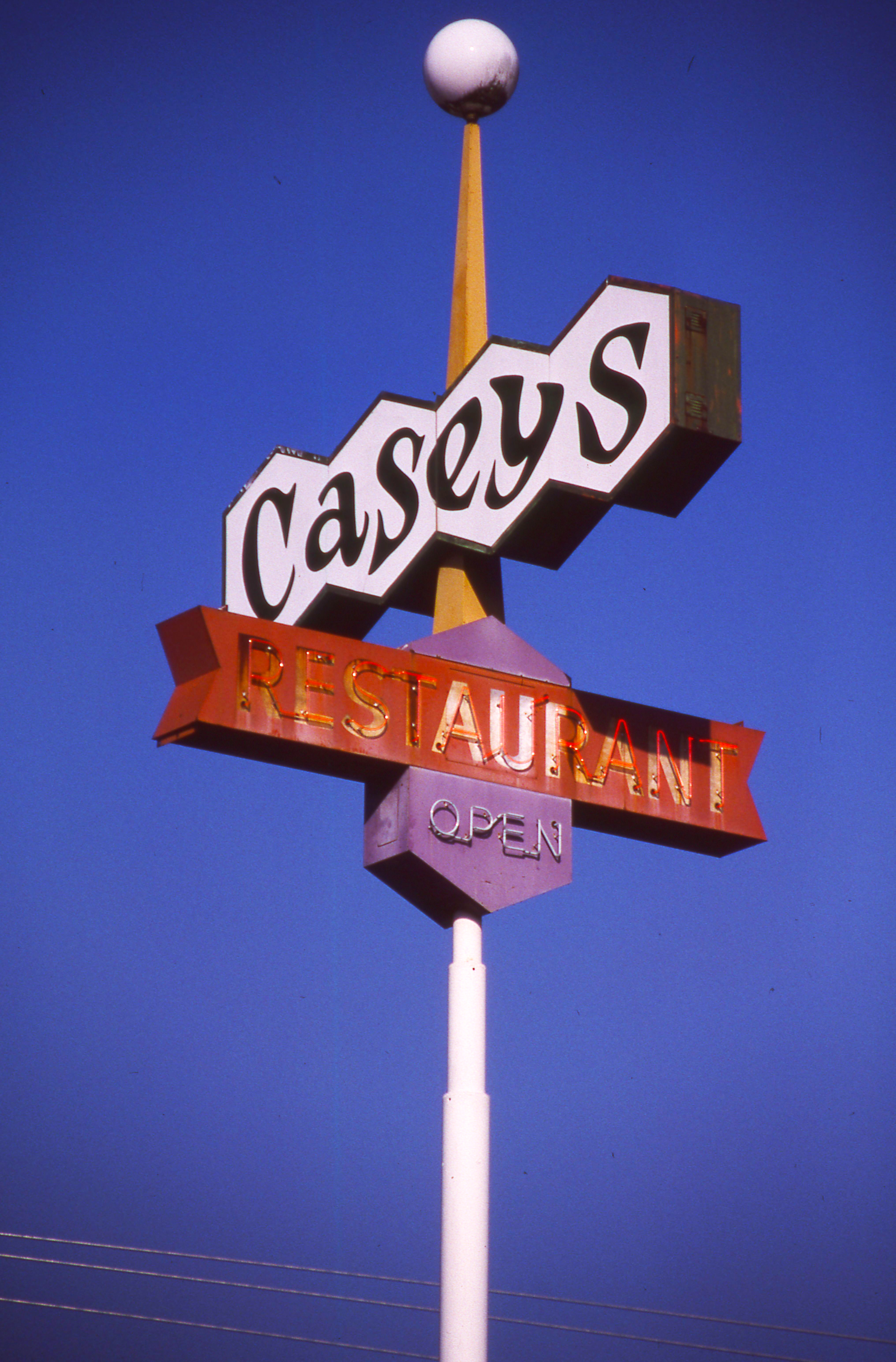
Day 245/365 - Casey's Restaurant

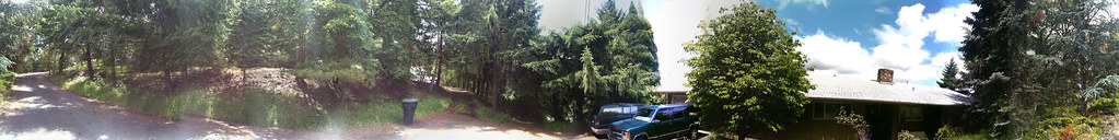
Neighborhood Views 001

My first 4x5 a RHS camera

Barrel Rolls!

valley view cemetery - sutherlin, or
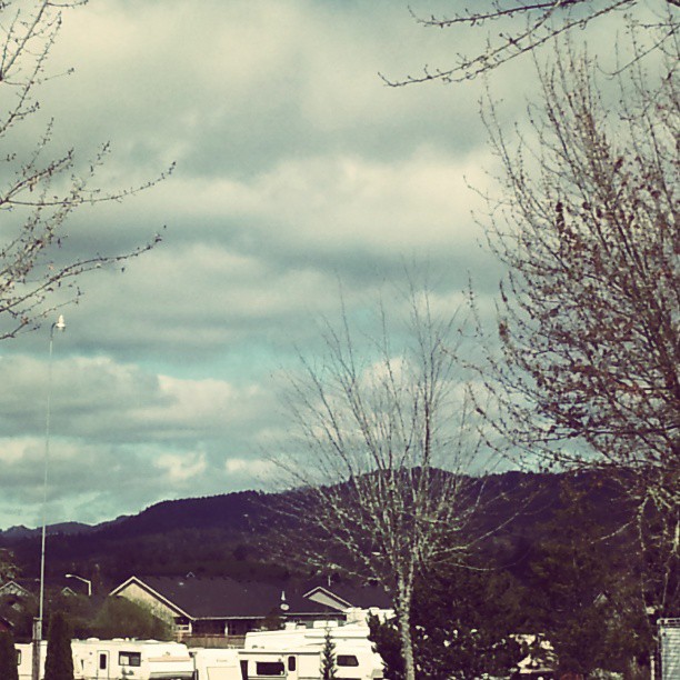
Mountain view

Another view of the roses in a trailer.
2010-09-22-cover image-2

View from the Loo
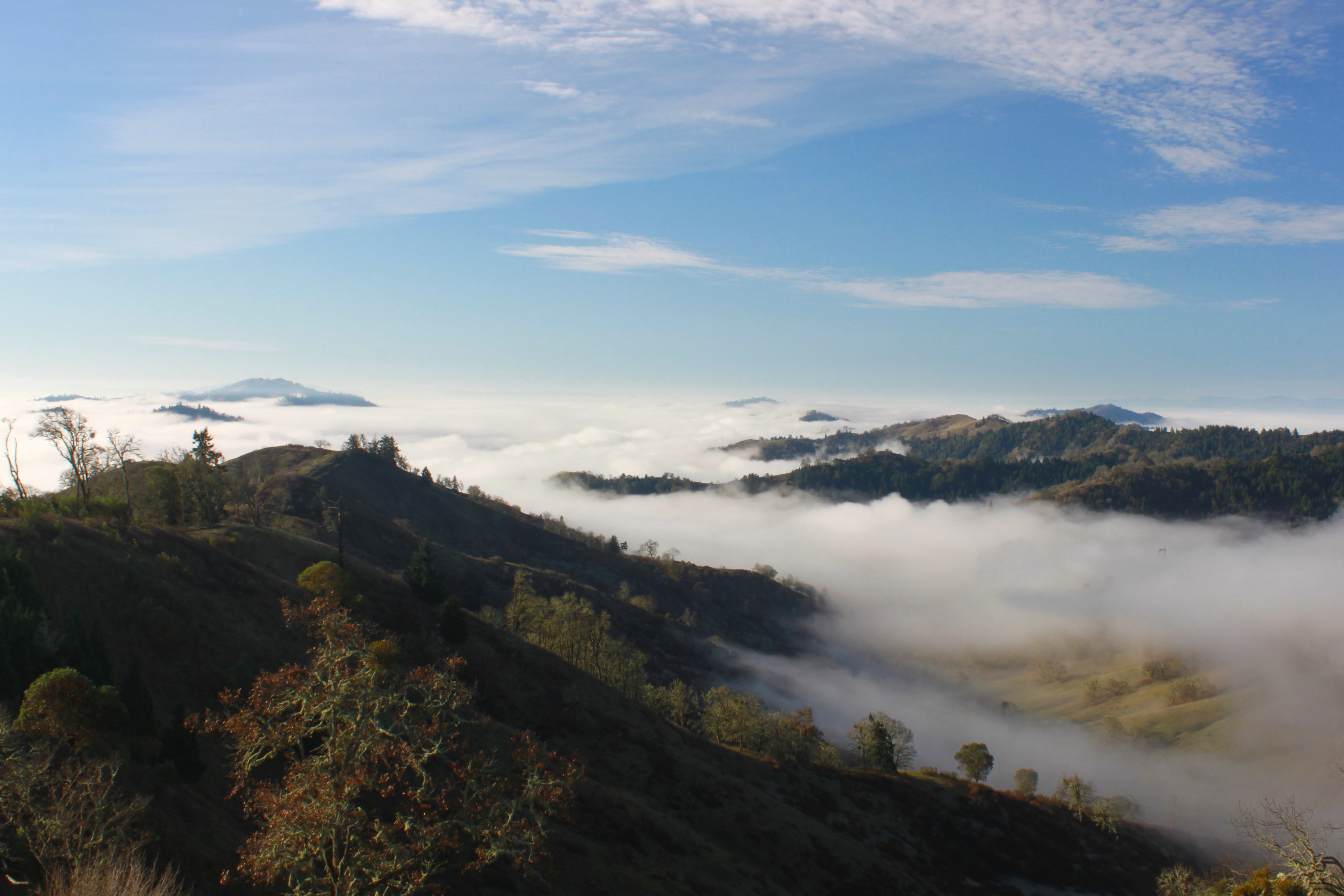
Superb view from East Ridge
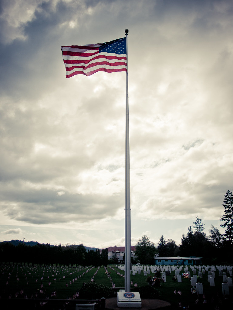
Remember...Forever

Eclectic 007

Roseburg Visitor’s Center 008

Roseburg City Hall Pentagon
Front yard

View from Beaumont Ave, Roseburg, OR

Neighborhood Views 017

Neighborhood Views 033

ps shot setup3

Neighborhood Views 037

This Photo is a Lemon c
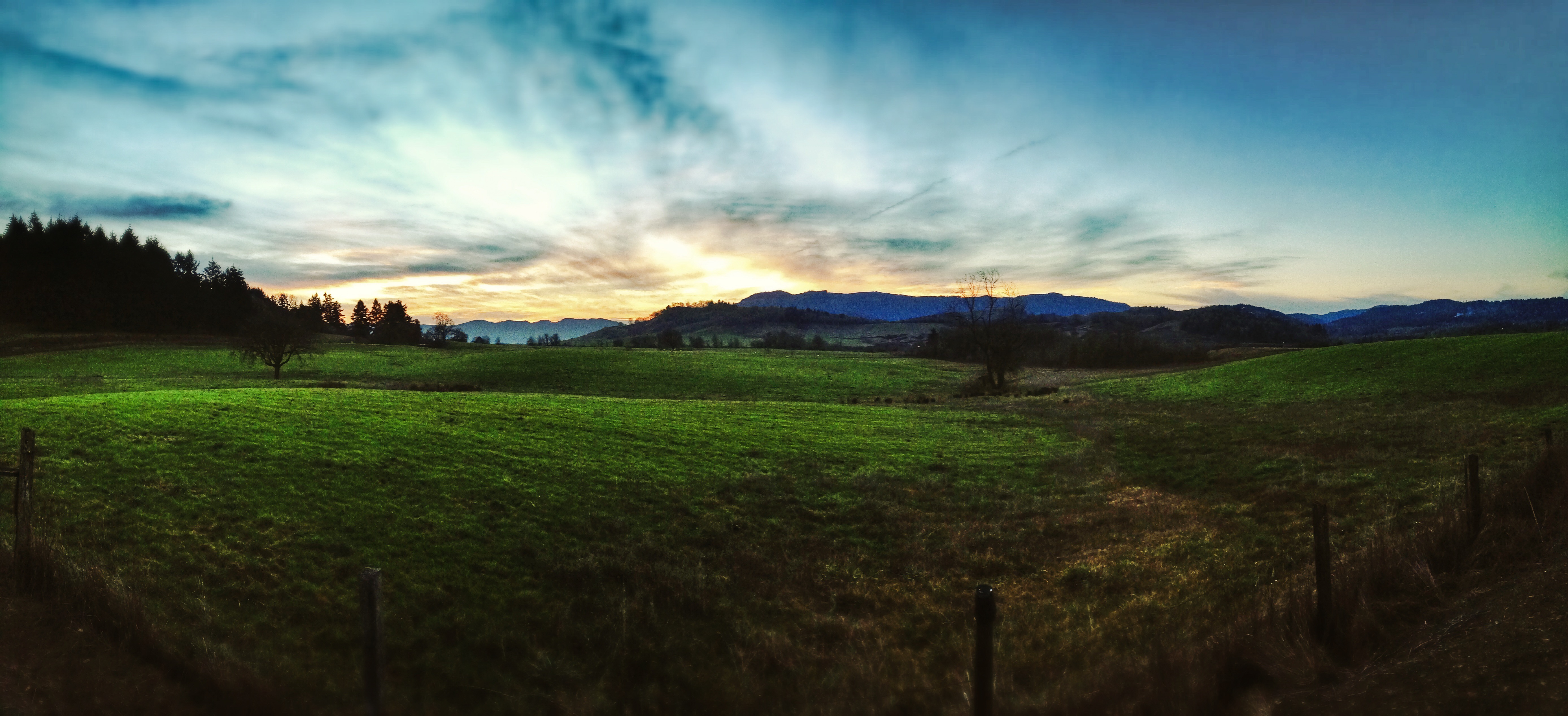
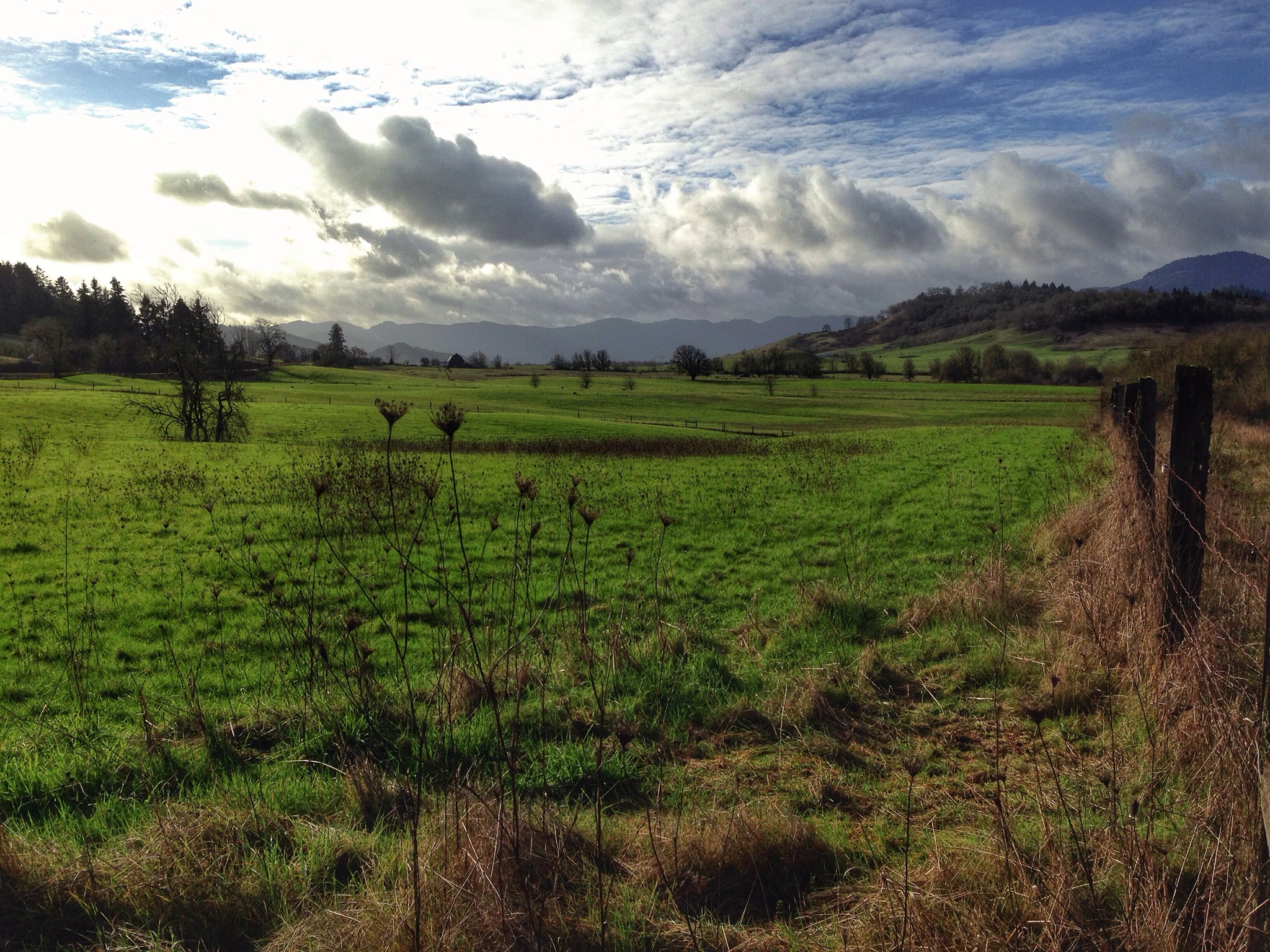
Farm above Fords Pond, Sutherlin, OR

Pasture land above Fords Pond - Sutherlin, Oregon

Fords Pond - Sutherlin, Oregon
"Toto, I've got a feeling we're not in Kansas anymore"

Spring is nature's way of saying, 'Let's party!' Robin Williams
Farm above Fords Pond

Wilbur, Oregon.

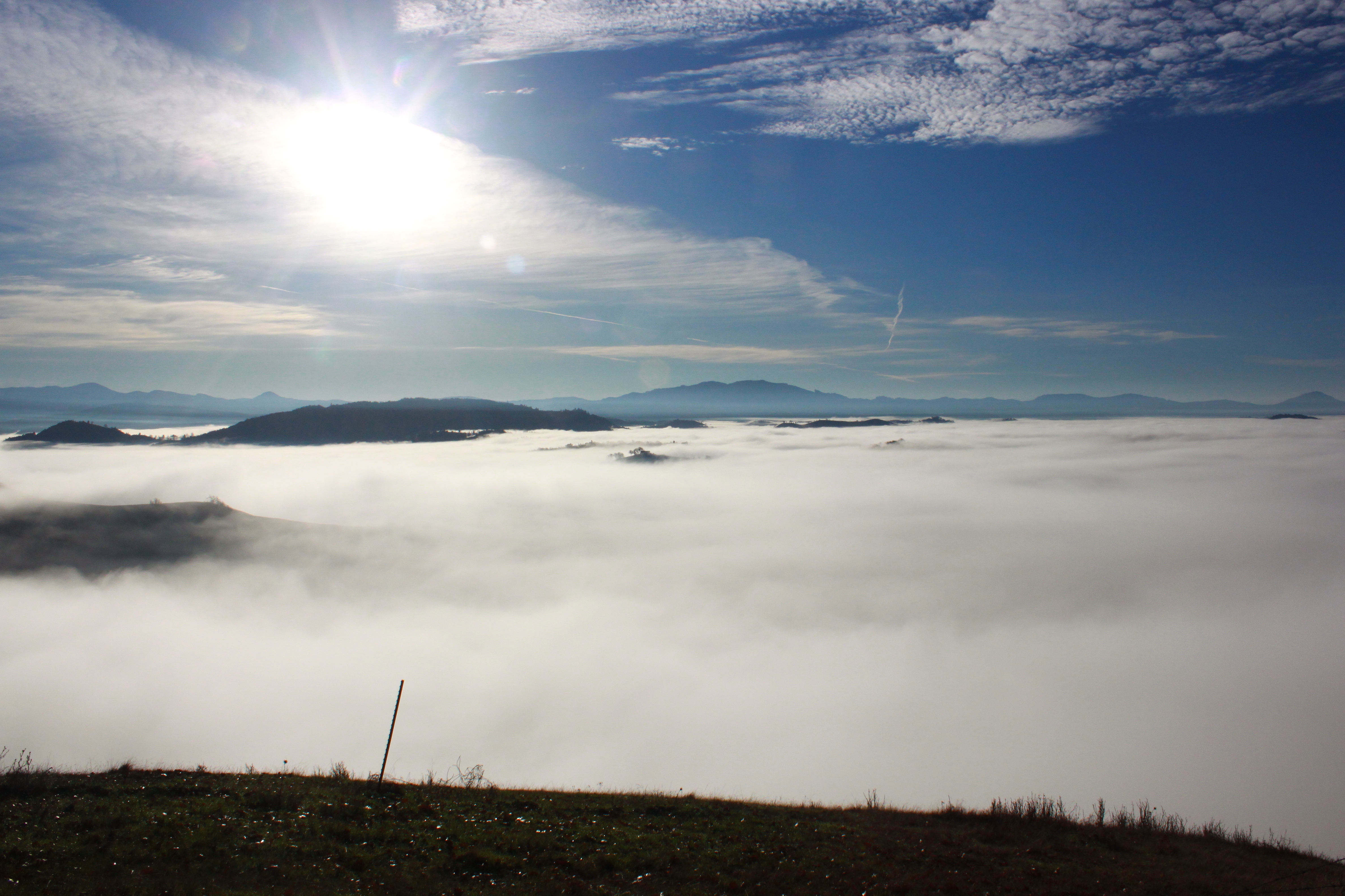
Corn maze, with fog.

Oregon White Oak

Wilbur, Oregon.
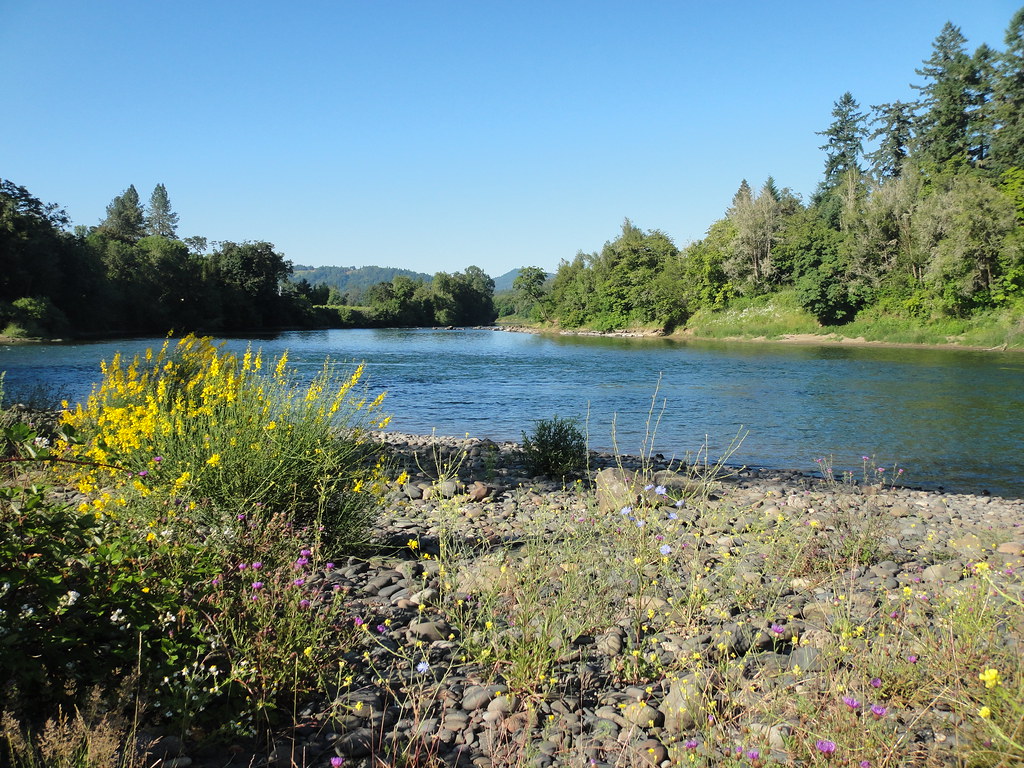
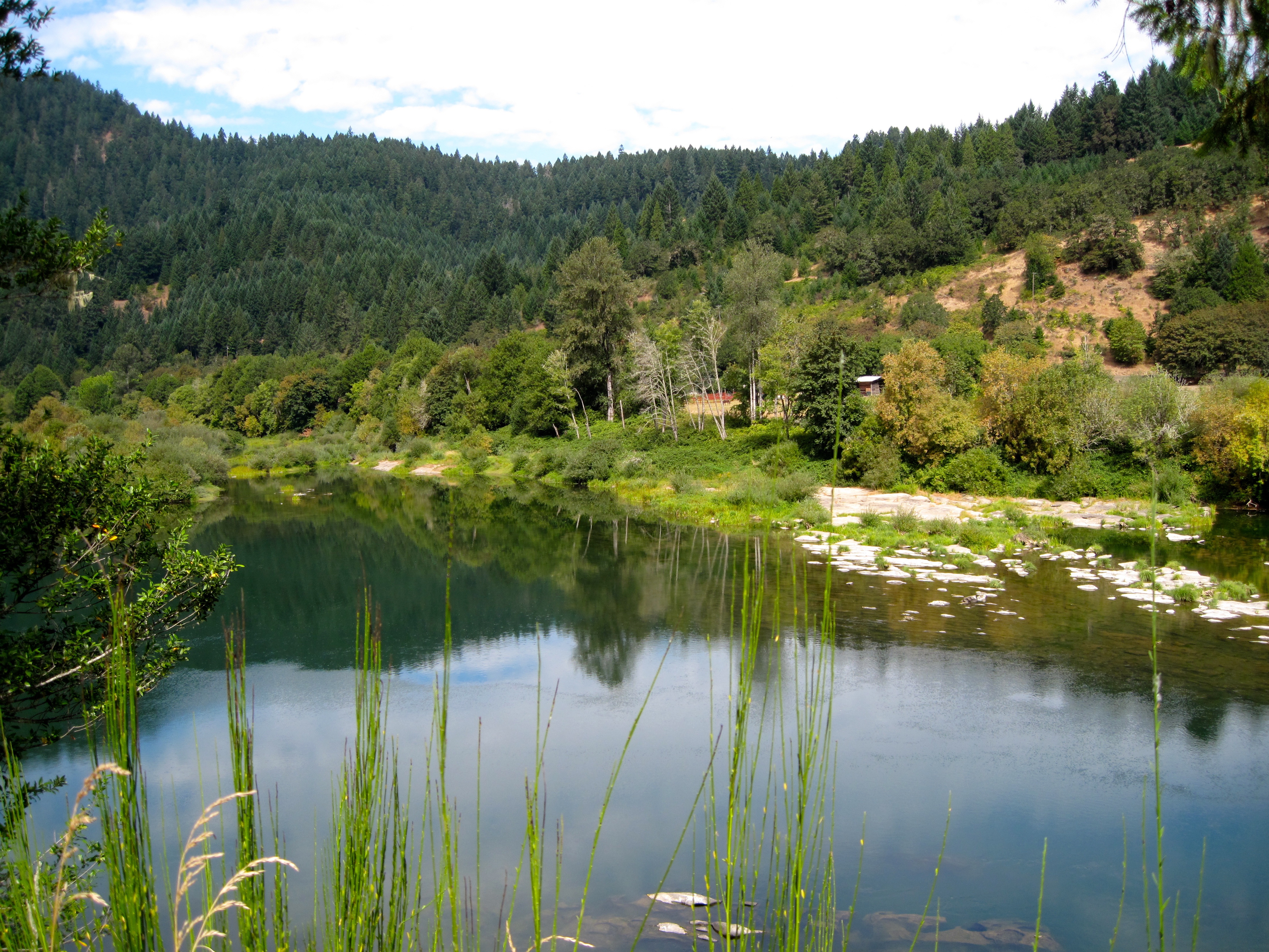
River Forks
Wow!
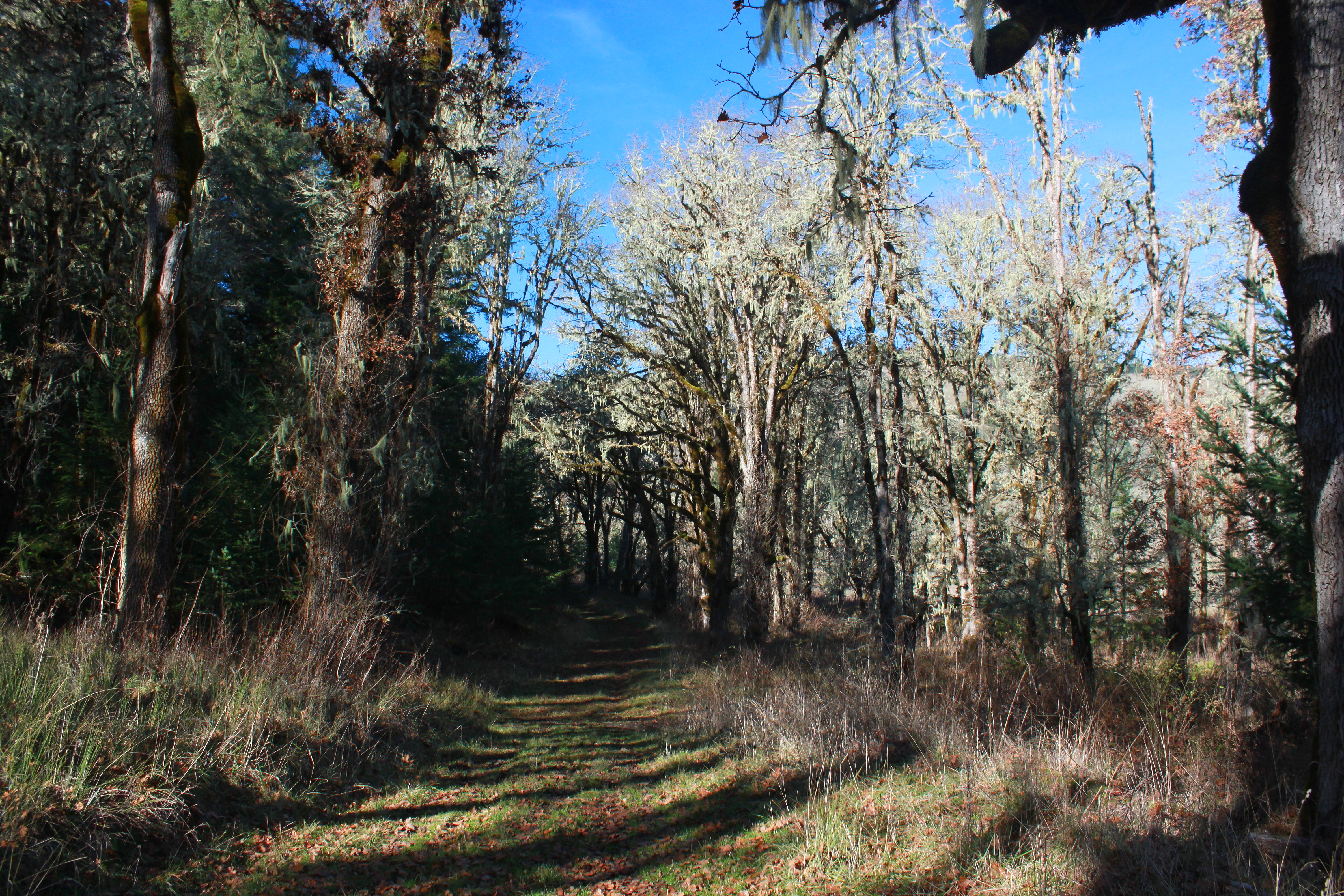
Trail shot
Umpqua near Hubbard Creek Rd

Plat I Reservoir

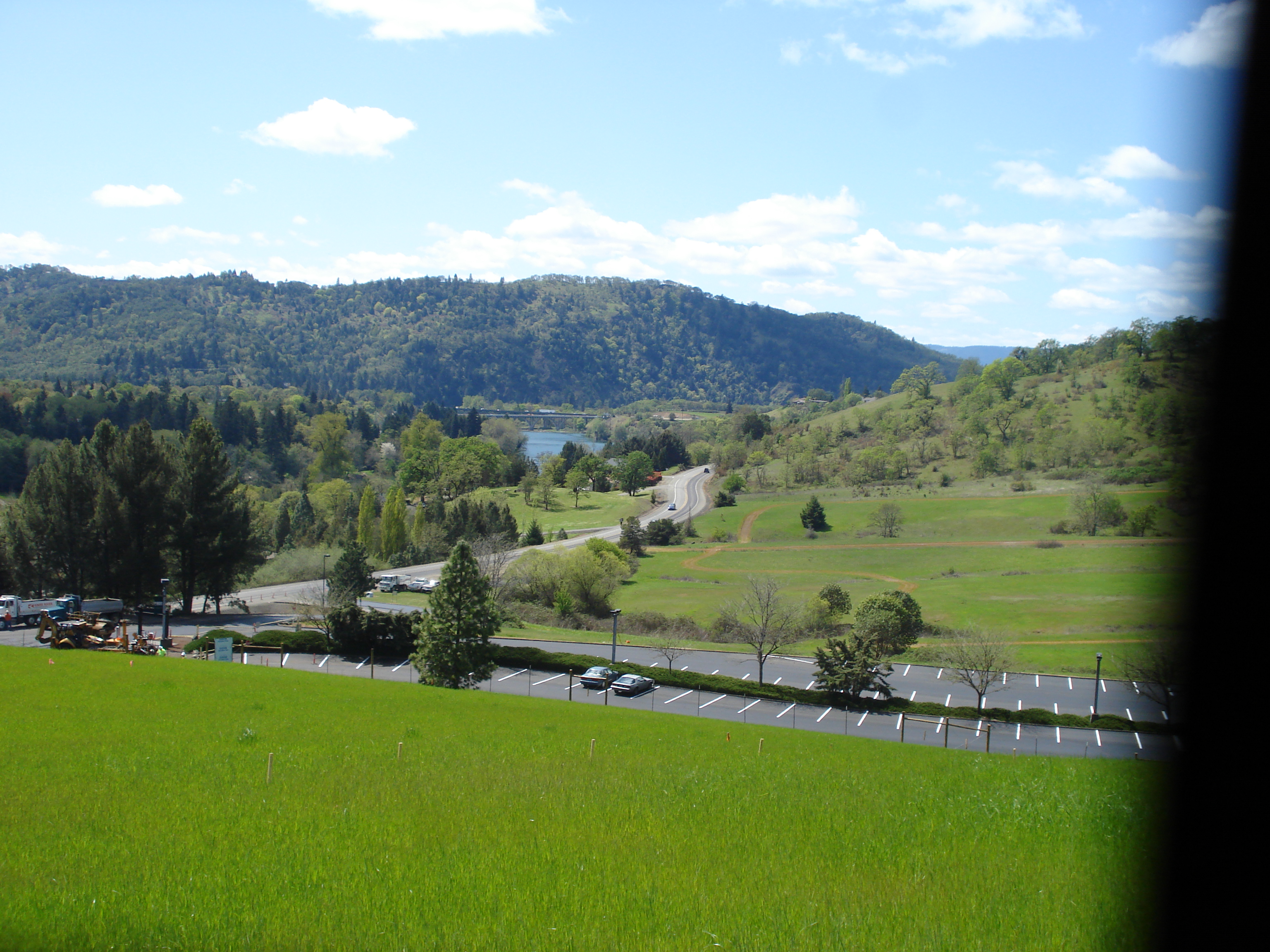
driving through Roseburg, OR
easter 2009 101
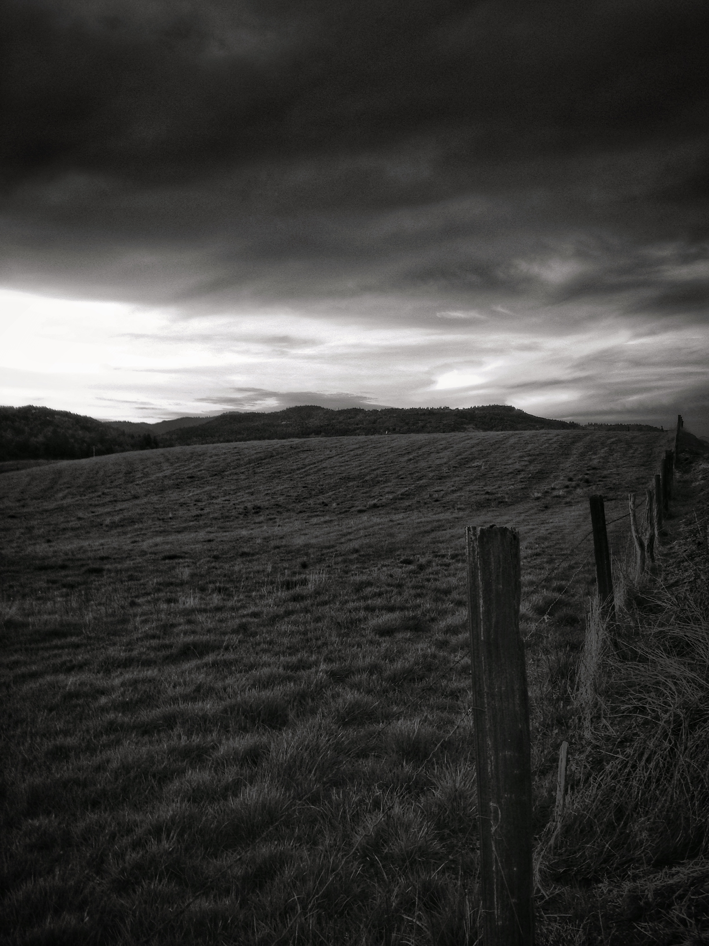
Where warm and cold meet
Feels like I'm in the Himalayas
Reflecting pool
Topographic Map of Old Hwy 99 N, Roseburg, OR, USA
Find elevation by address:

Places near Old Hwy 99 N, Roseburg, OR, USA:
Wilbur
Page Road
486 Page Rd
3456 N Bank Rd
Winchester
468 Glenda Ave
186 Ne Timberlake St
2716 Golfview Ave
Roseburg North
2082 Culver Loop
2084 Culver Loop
Sutherlin
210 E 4th Ave
Scott Henry Rd, Oakland, OR, USA
999 Old Hwy 99 N
894 Echo Dr
1903 Ridge View Dr
1121 E 3rd Ave
7778 N Bank Rd
Glide
Recent Searches:
- Elevation of Corso Fratelli Cairoli, 35, Macerata MC, Italy
- Elevation of Tallevast Rd, Sarasota, FL, USA
- Elevation of 4th St E, Sonoma, CA, USA
- Elevation of Black Hollow Rd, Pennsdale, PA, USA
- Elevation of Oakland Ave, Williamsport, PA, USA
- Elevation of Pedrógão Grande, Portugal
- Elevation of Klee Dr, Martinsburg, WV, USA
- Elevation of Via Roma, Pieranica CR, Italy
- Elevation of Tavkvetili Mountain, Georgia
- Elevation of Hartfords Bluff Cir, Mt Pleasant, SC, USA