Elevation of Corral Trail Rd, Somerset, CA, USA
Location: United States > California > El Dorado County > Somerset >
Longitude: -120.70064
Latitude: 38.58863
Elevation: 628m / 2060feet
Barometric Pressure: 94KPa
Elevation Map:
Satellite Map:
Related Photos:

The Harvest!

River bend

River View

Blue-eyed Frog
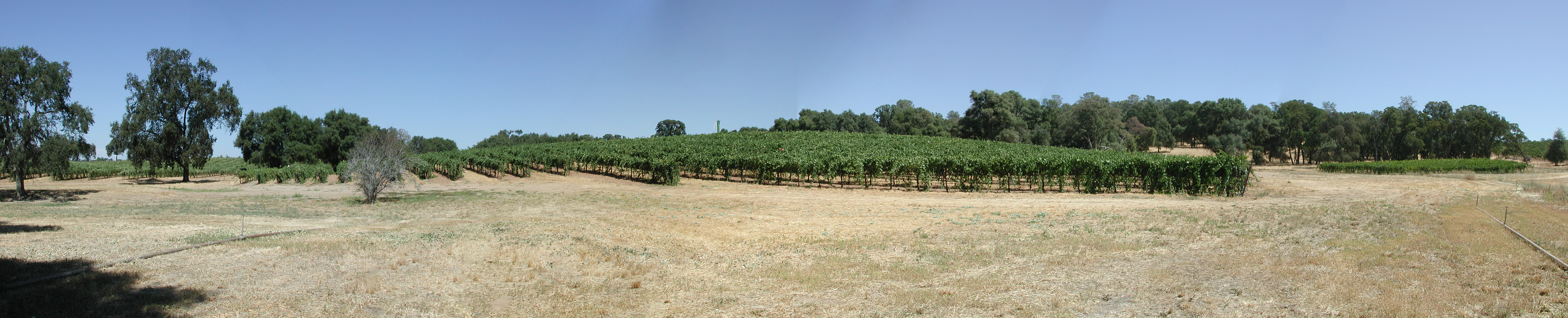
Montevina Winery Panorama

Cabin - River

Cabin - River

Cabin - River

Cabin - Backyard
Karmére Vineyard

Diamond Springs Hills

Red, white and blue 3

Cabin - Front Yard
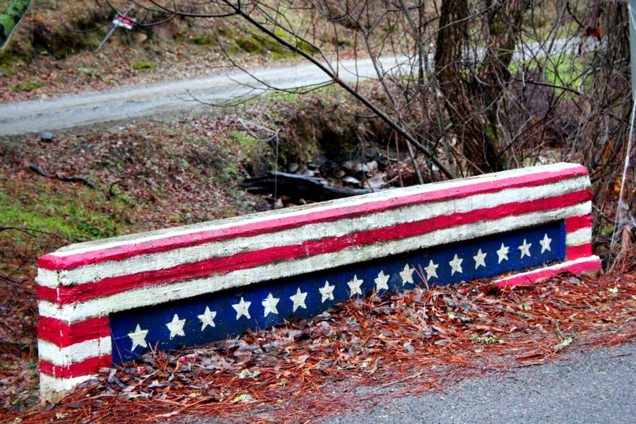
Red, white and blue 2

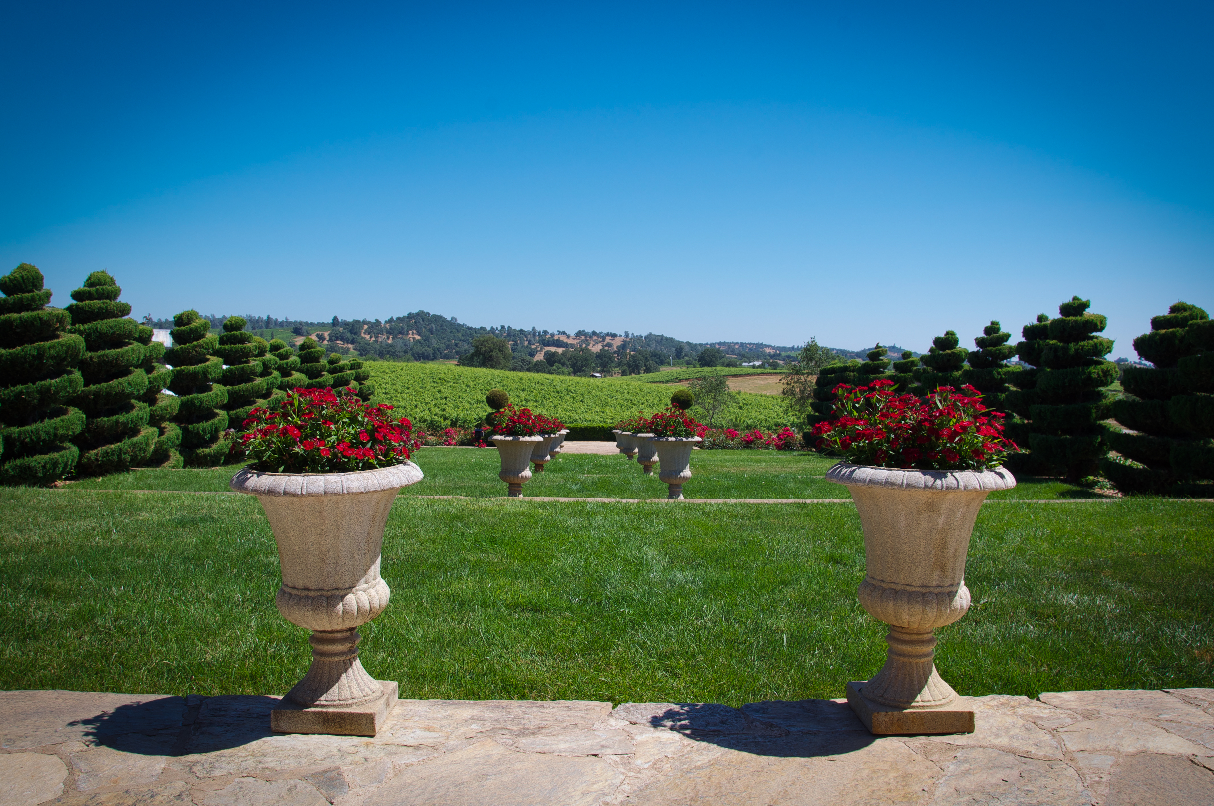
Holly's Hill Winery

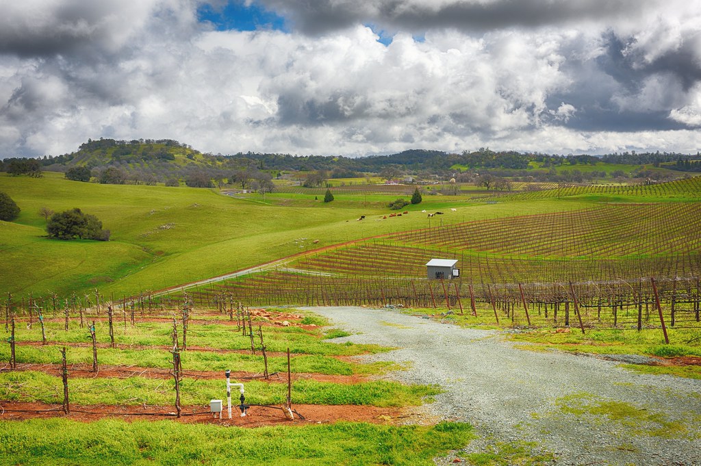
Vineyard view

"The Truth is Out There"
Shenendoah Valley

Shenendoah Valley

A River Runs Through It

Calm Waters

D'Agostini Reservoir

Busby's Barn

North Fork Flow

Camp Creek Bridge

Tonight's Sunset

Tonight's Sunset

Highway 49, California

Fall in California

RB_05-12-11_006a-100_N-CosumnesRivBr

Cosumnes River Small Falls

Mt. Aukum Dawn.jpg
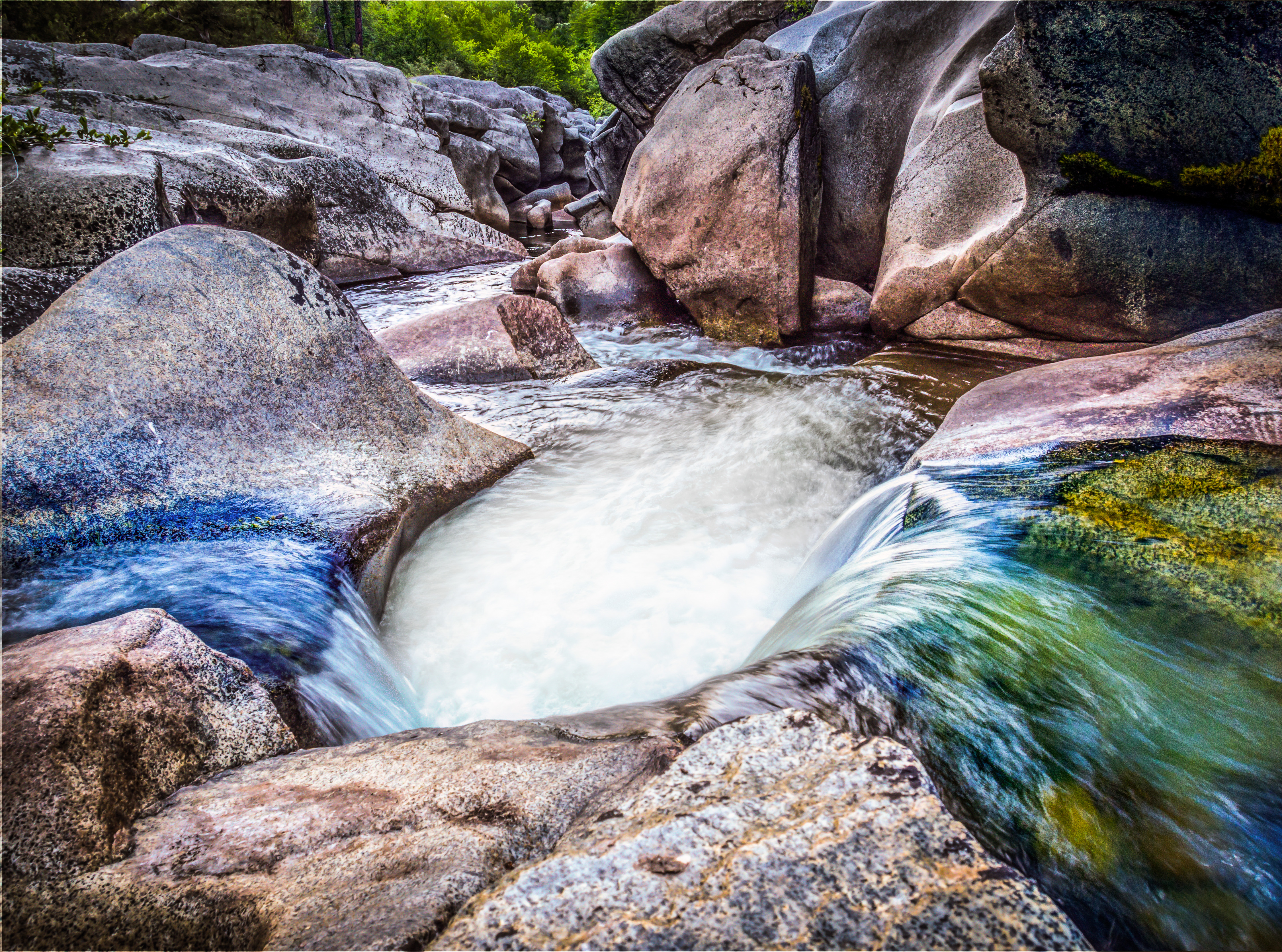
Cosumnes River Hole

At the End of the Day at the Pond

Cosumnes River Hole.jpg

Cosumnes Creek Sun Flare.jpg
Topographic Map of Corral Trail Rd, Somerset, CA, USA
Find elevation by address:

Places near Corral Trail Rd, Somerset, CA, USA:
3201 Omo Ranch Rd
2960 Omo Ranch Rd
Mt Aukum Rd, Somerset, CA, USA
2979 Mellowood Dr
6980 Loggers Hollow Rd
2265 Myrick Rd
3980 Tawanka Rd
Recovery In Action
Perry Creek Road
3790 Omo Ranch Rd
Cedar Creek Rd, Fiddletown, CA, USA
Outingdale
Coyoteville
7305 Morning Canyon Rd
Quail Way, Somerset, CA, USA
Fair Play
5701 Stream Way
Mount Aukum
2341 Magic Mine Rd
Flat Creek Drive
Recent Searches:
- Elevation of Congressional Dr, Stevensville, MD, USA
- Elevation of Bellview Rd, McLean, VA, USA
- Elevation of Stage Island Rd, Chatham, MA, USA
- Elevation of Shibuya Scramble Crossing, 21 Udagawacho, Shibuya City, Tokyo -, Japan
- Elevation of Jadagoniai, Kaunas District Municipality, Lithuania
- Elevation of Pagonija rock, Kranto 7-oji g. 8"N, Kaunas, Lithuania
- Elevation of Co Rd 87, Jamestown, CO, USA
- Elevation of Tenjo, Cundinamarca, Colombia
- Elevation of Côte-des-Neiges, Montreal, QC H4A 3J6, Canada
- Elevation of Bobcat Dr, Helena, MT, USA