Elevation of Omo Ranch Rd, Somerset, CA, USA
Location: United States > California > El Dorado County > Somerset >
Longitude: -120.66867
Latitude: 38.5736085
Elevation: 740m / 2428feet
Barometric Pressure: 93KPa
Elevation Map:
Satellite Map:
Related Photos:

Blue-eyed Frog
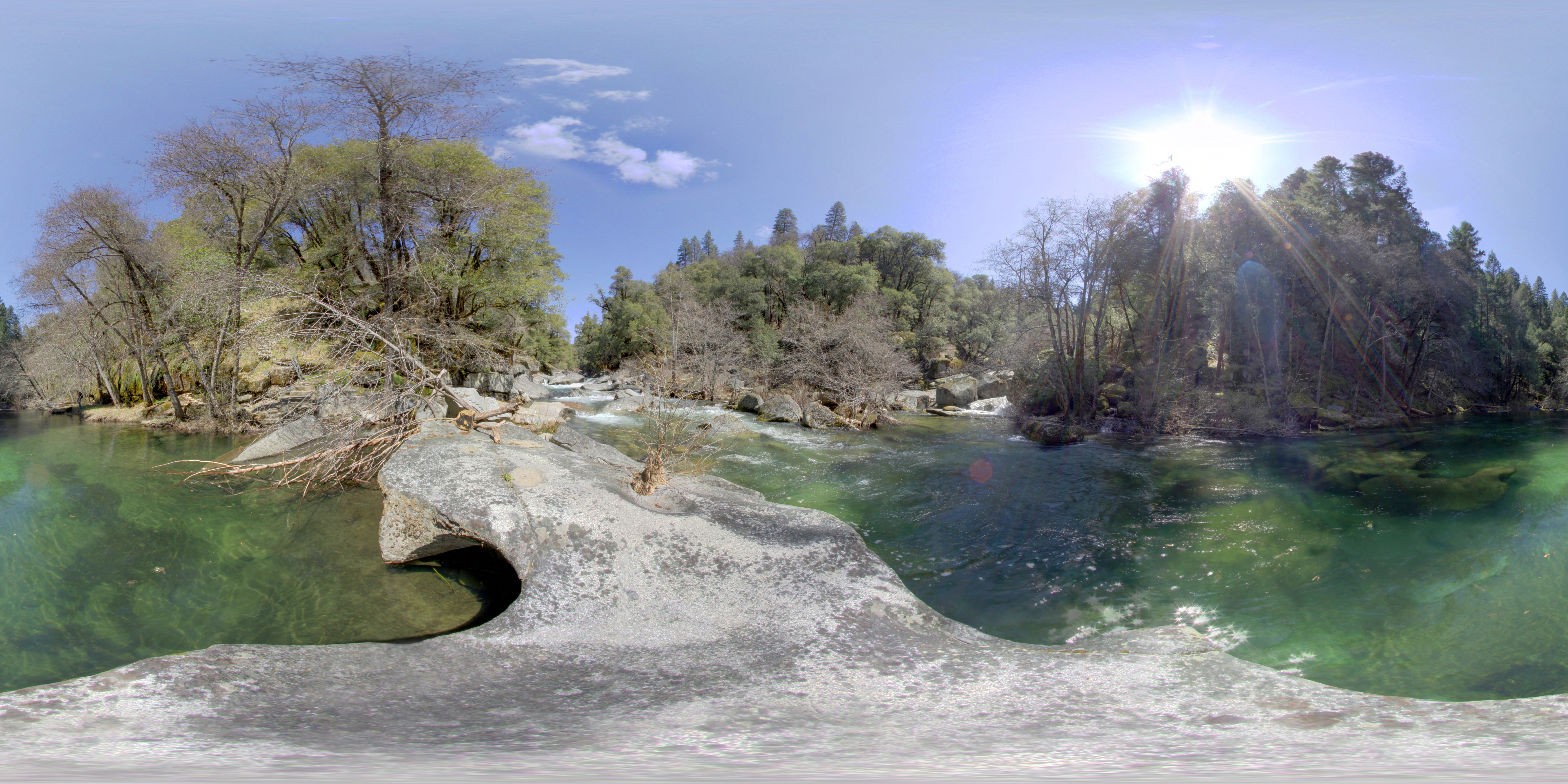
River View
Cabin - River

Cabin - Front Yard
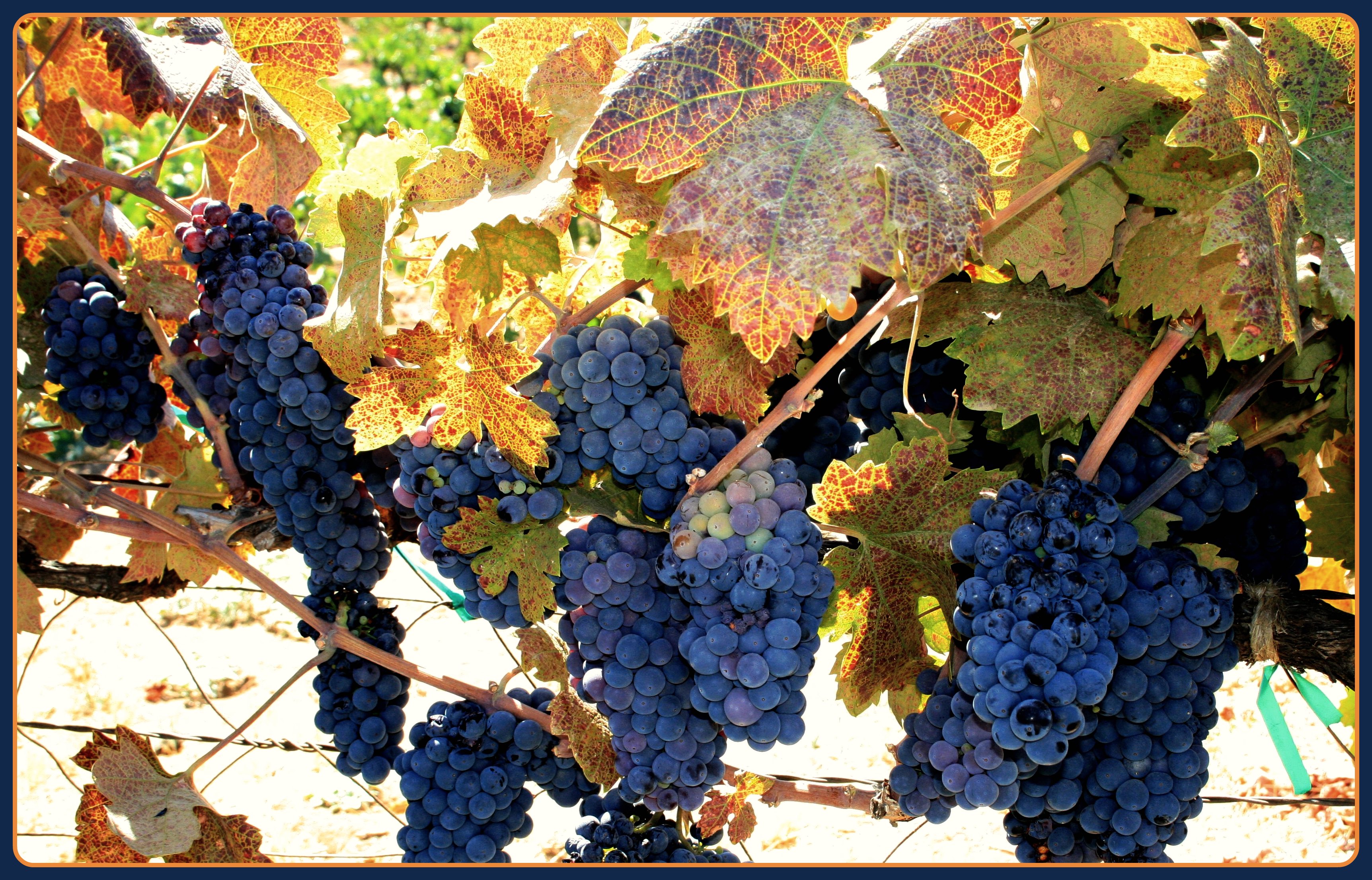
The Harvest!

"The Truth is Out There"
Cabin - River

Torn and tattered Monarch

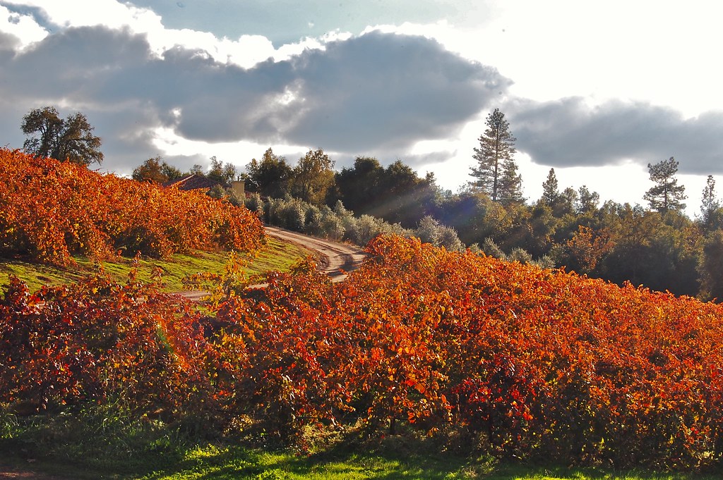
Mt. Aukum fall views

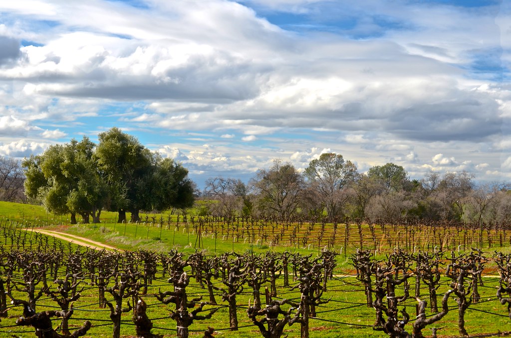
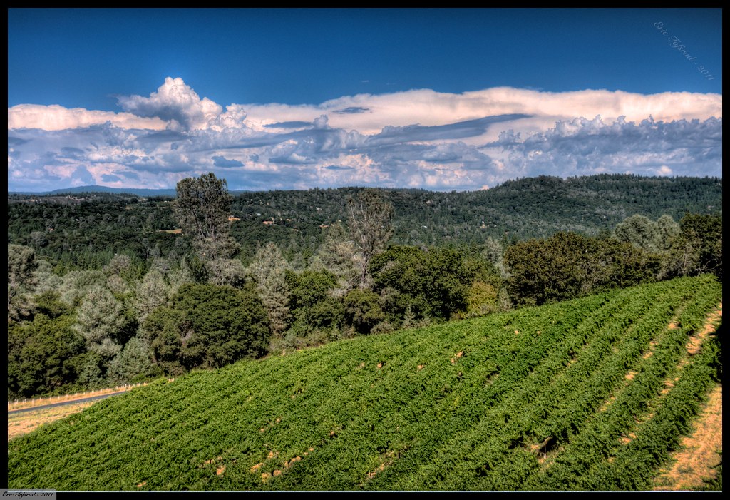
Shadow Ranch, Winery view

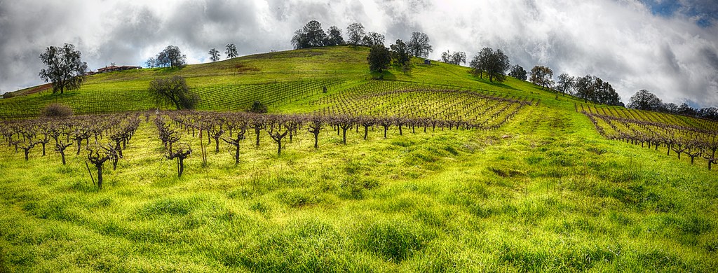
Montevina Winery Panorama

Mighty Monarch

Patio views Il Gioiello tasting room

Patio views Il Gioiello tasting room
Patio views Il Gioiello tasting room

Patio views Il Gioiello tasting room

St. Bernard's Church

Bray Vineyards view
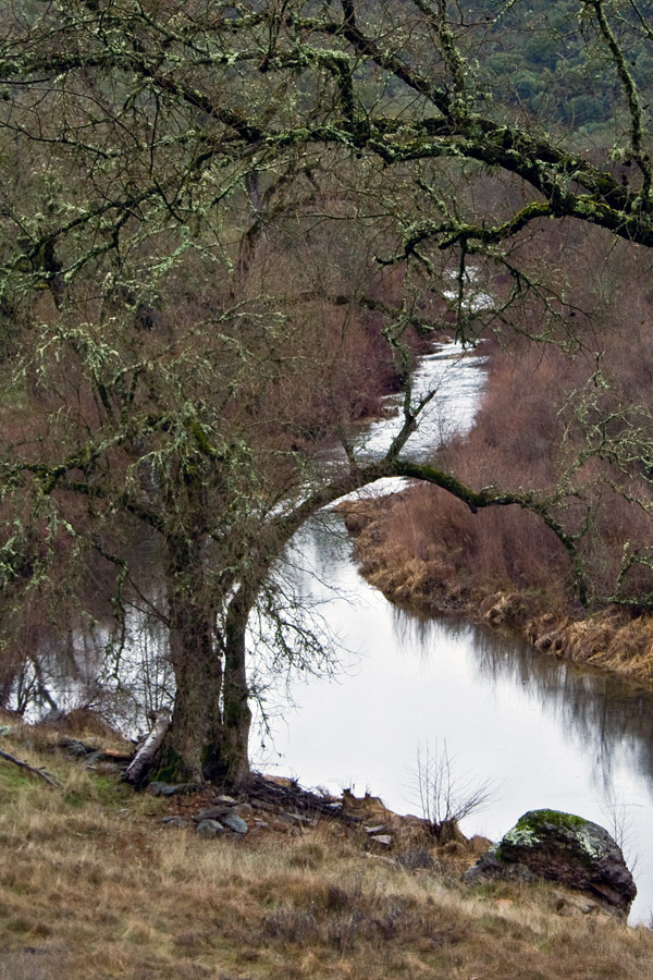
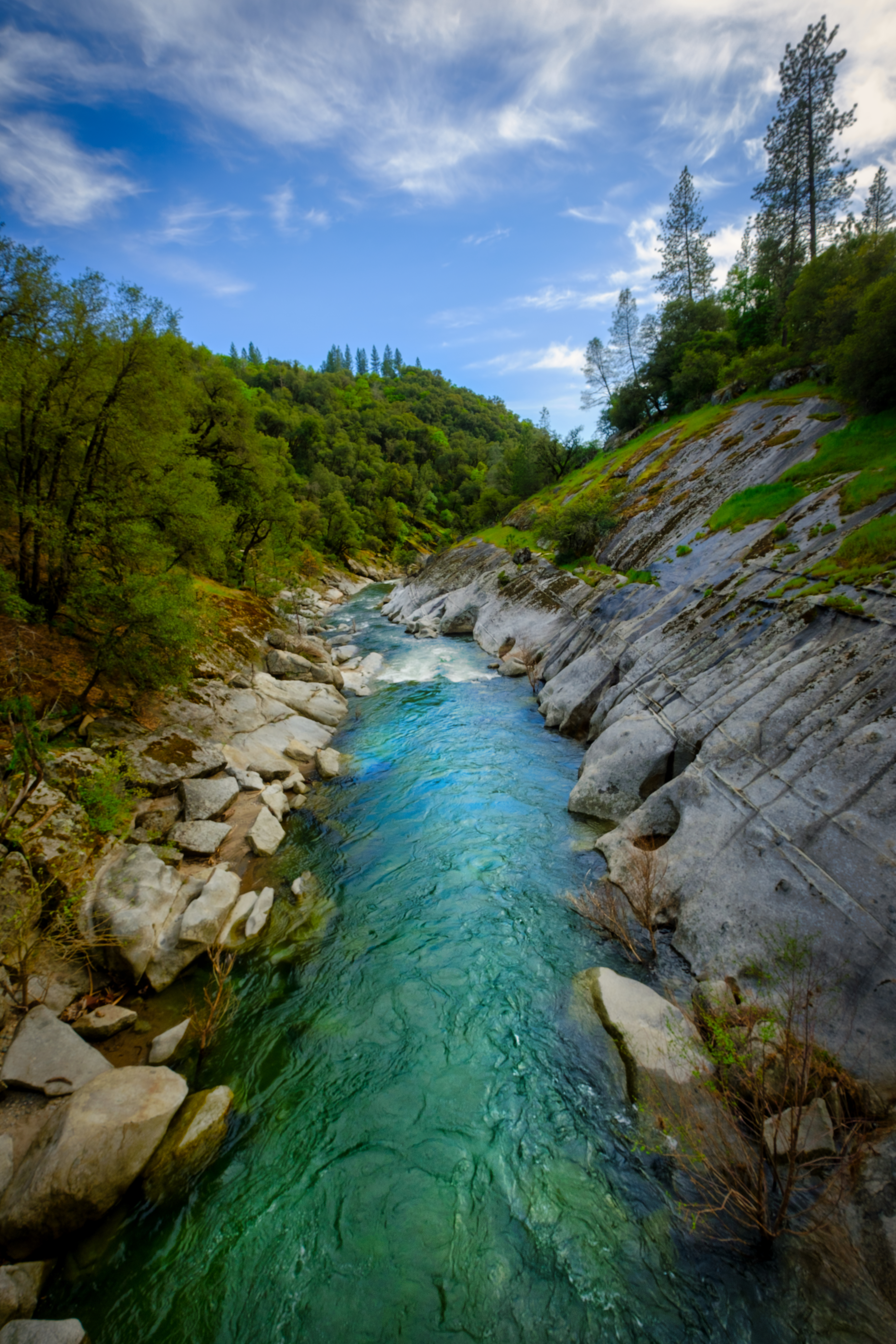
River bend

Diamond Springs Hills

Sobon Estates view

Black Chasm
Shenendoah Valley
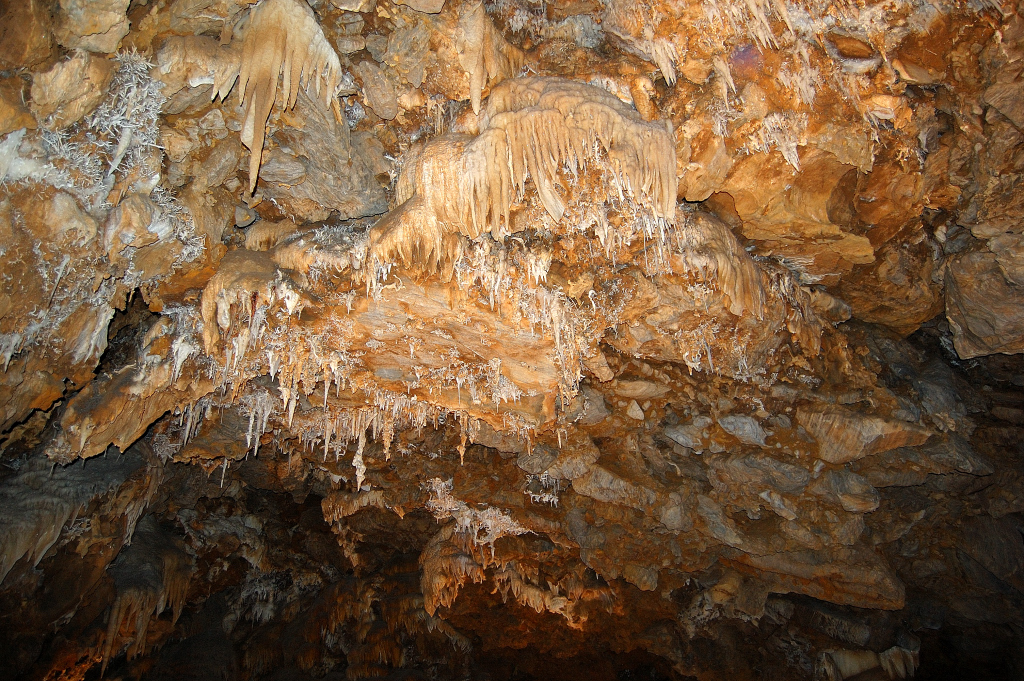
Black Chasm
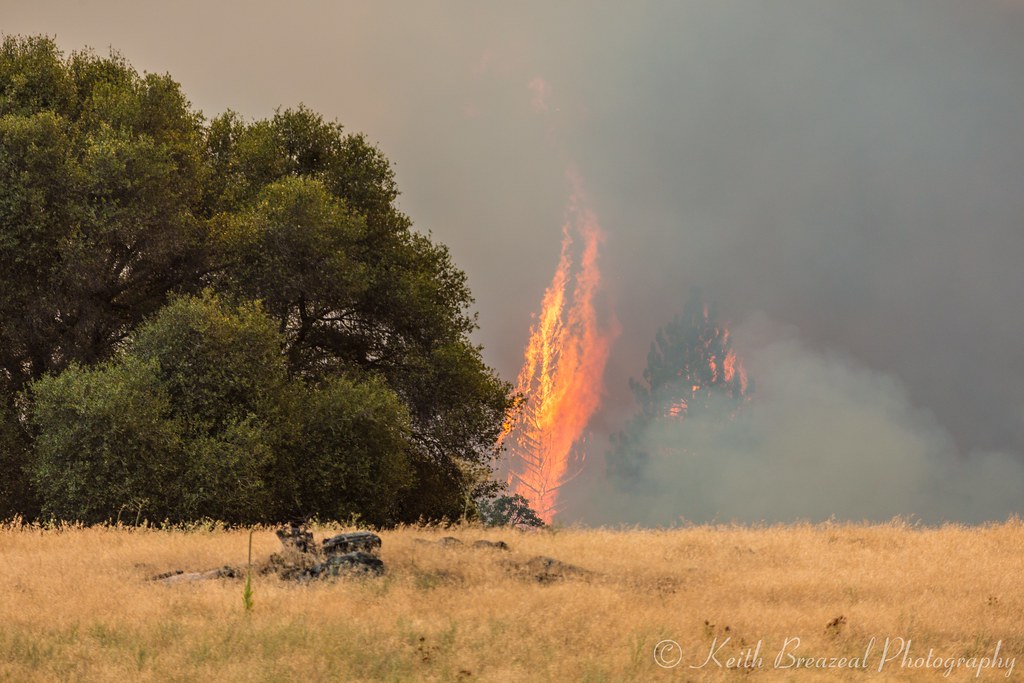
Sand Fire July 2014 © Keith Breazeal-15
Cooper Vineyards
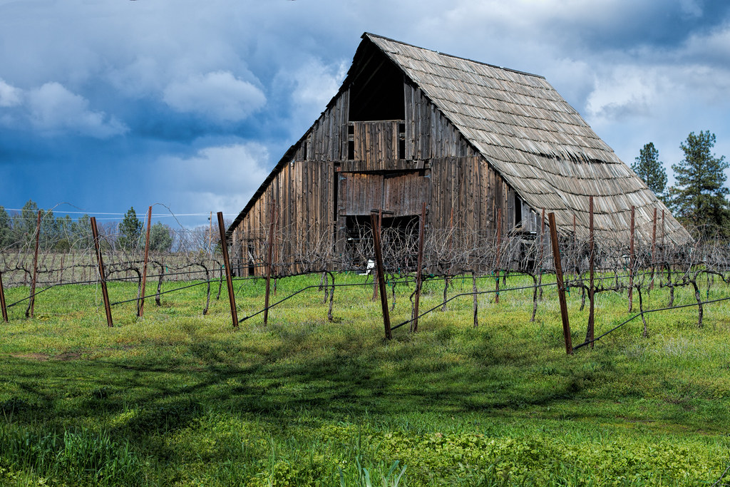
Busby's Barn

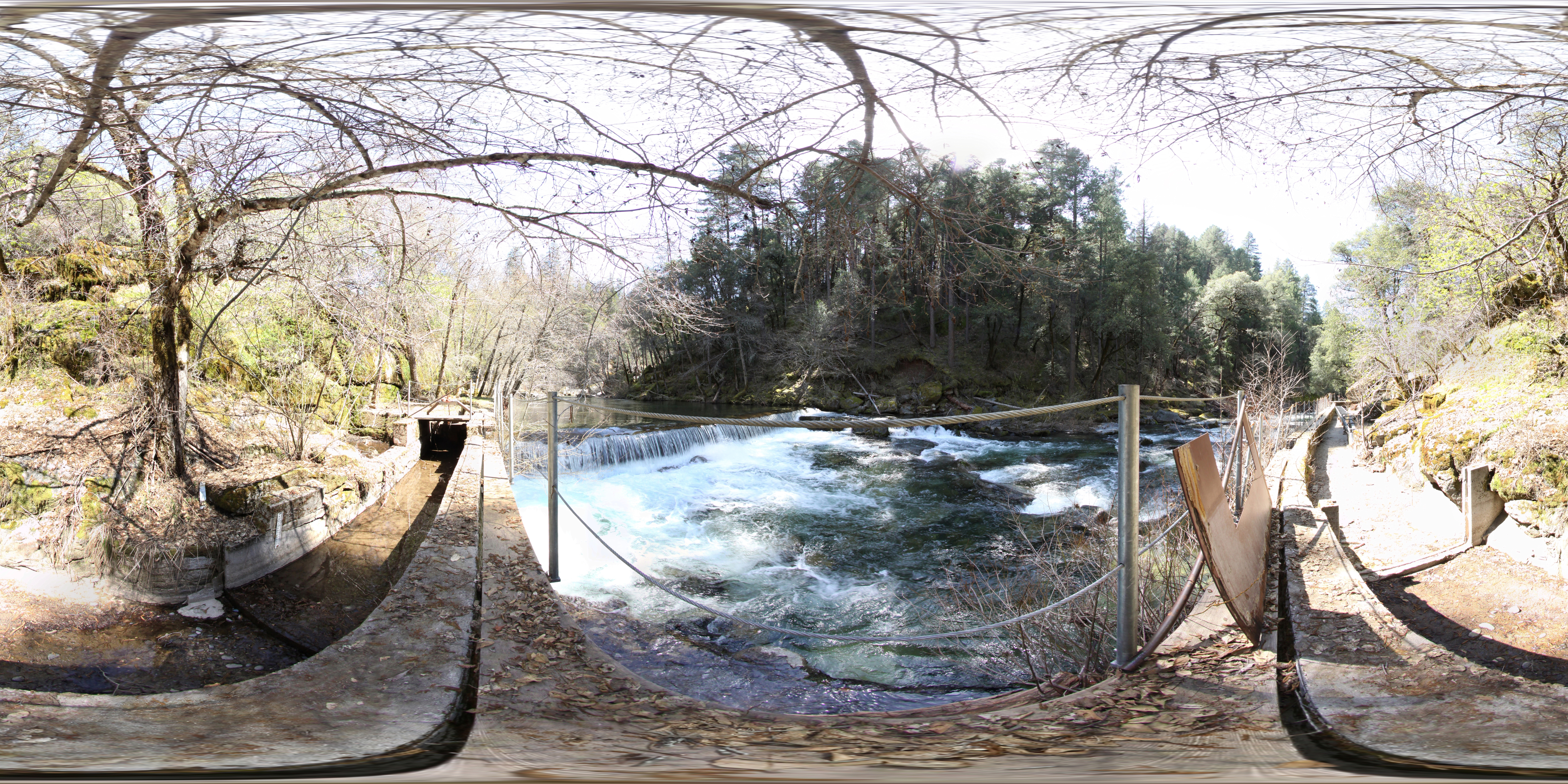
Cosumnes River Small Falls

Hipstamatic Wrights Lake

I want my Mommie
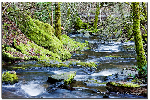
Moss and Water
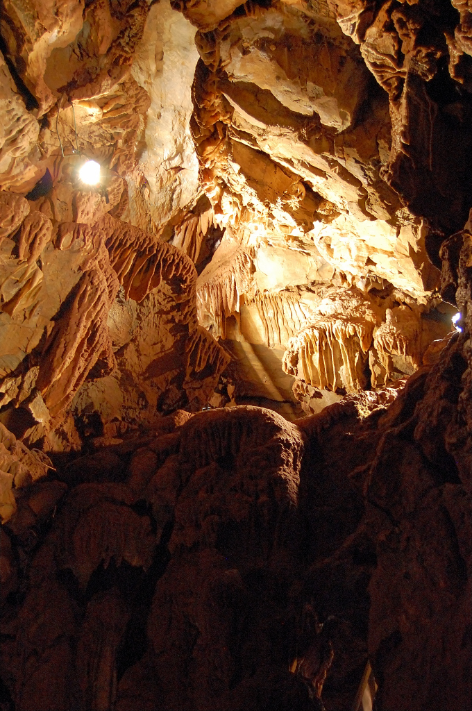
Black Chasm
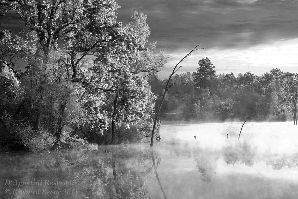
RB_05-27-11_033bw1_D'AgostiniRes-Sunrise
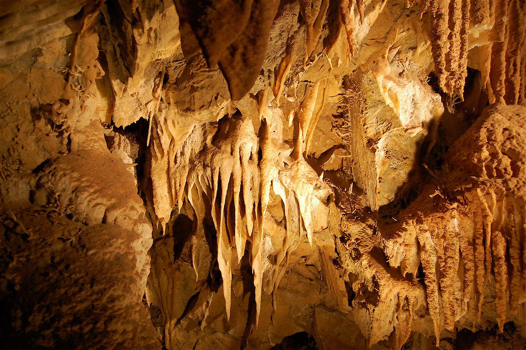
Black Chasm Cave

california sunset
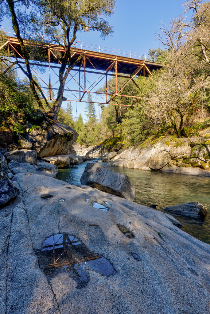
Camp Creek Bridge
California Foothill Terrain, at it's best !!

Black Chasm Cave Tour

Black Chasm

DSCN0348-001

_8130152.NEF
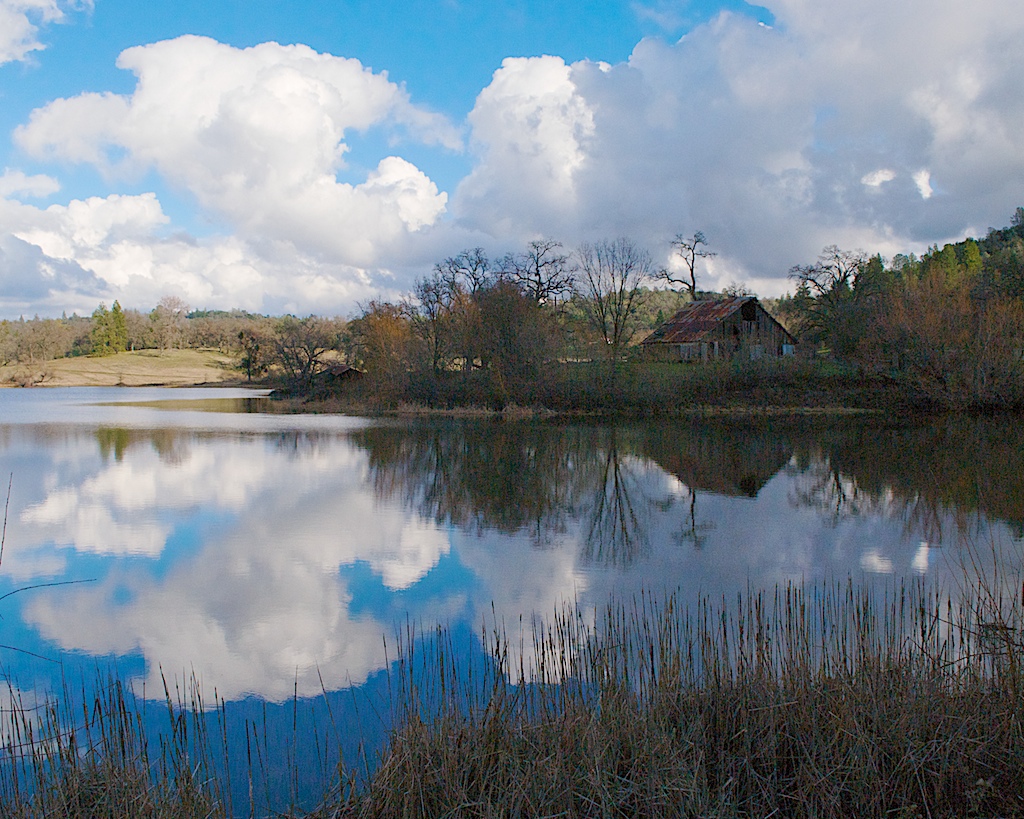
D'agostini Reservior, El Dorado County
Topographic Map of Omo Ranch Rd, Somerset, CA, USA
Find elevation by address:

Places near Omo Ranch Rd, Somerset, CA, USA:
Recovery In Action
3980 Tawanka Rd
2341 Magic Mine Rd
2265 Myrick Rd
Cedarville Road
Fair Play
3201 Omo Ranch Rd
6248 Slug Gulch Rd
Coyoteville
Cedar Creek Rd, Fiddletown, CA, USA
2960 Omo Ranch Rd
2979 Mellowood Dr
3145 Corral Trail Rd
Perry Creek Road
7700 Silent Path Rd
Raphael Ridge Road
7380 Vineyard View Dr
4081 Farnham Ridge Rd
4340 Hollis Ln
4960 Omo Ranch Rd
Recent Searches:
- Elevation of Kreuzburger Weg 13, Düsseldorf, Germany
- Elevation of Gateway Blvd SE, Canton, OH, USA
- Elevation of East W.T. Harris Boulevard, E W.T. Harris Blvd, Charlotte, NC, USA
- Elevation of West Sugar Creek, Charlotte, NC, USA
- Elevation of Wayland, NY, USA
- Elevation of Steadfast Ct, Daphne, AL, USA
- Elevation of Lagasgasan, X+CQH, Tiaong, Quezon, Philippines
- Elevation of Rojo Ct, Atascadero, CA, USA
- Elevation of Flagstaff Drive, Flagstaff Dr, North Carolina, USA
- Elevation of Avery Ln, Lakeland, FL, USA