Elevation of Cornell, IL, USA
Location: United States > Illinois > Livingston County > Amity Township >
Longitude: -88.729233
Latitude: 40.9900326
Elevation: 193m / 633feet
Barometric Pressure: 99KPa
Elevation Map:
Satellite Map:
Related Photos:

Sunset on the Santa Fe
Same shelf cloud

Old Oakland - Front View
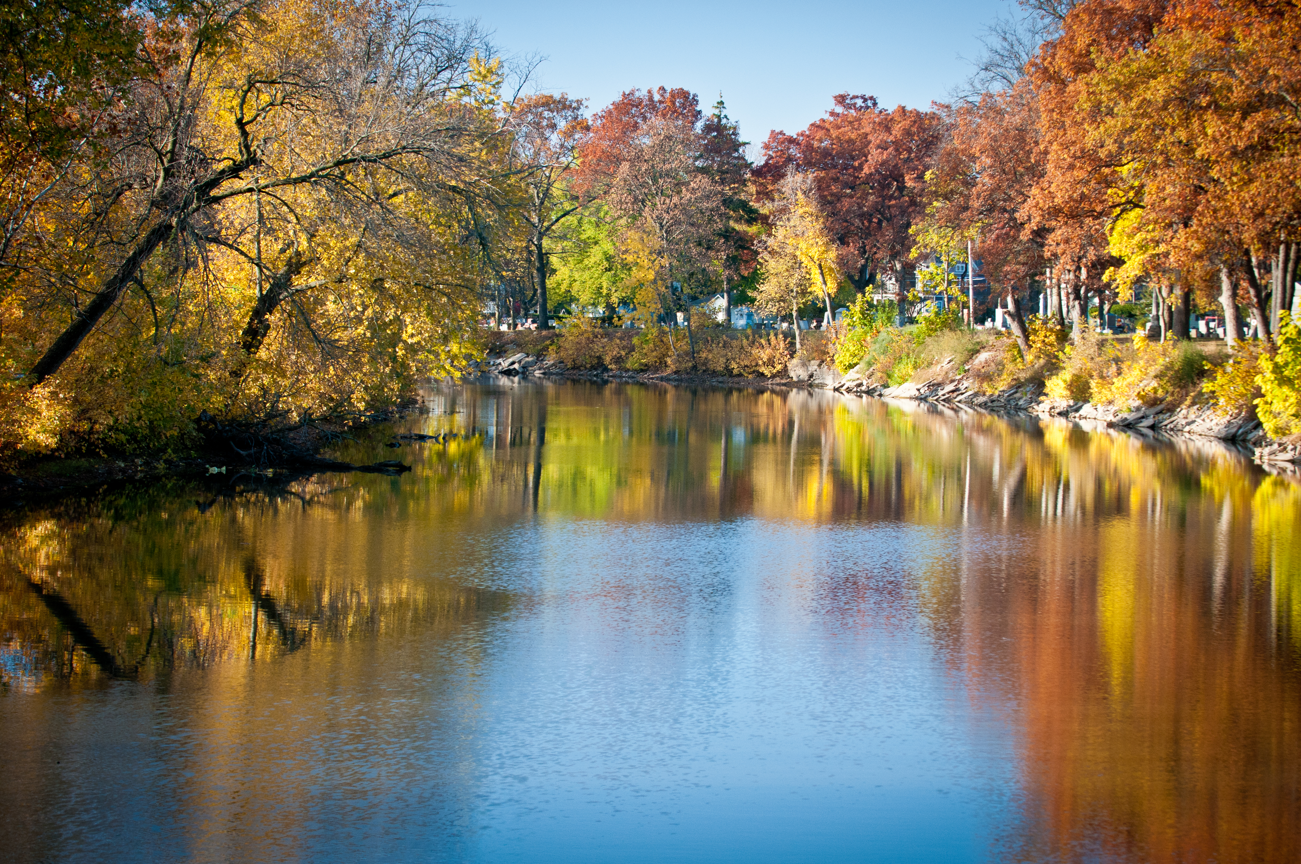
Vermillion River, Pontiac, IL

Old Oakland - Side View
Pontiac Illinois, Kelvinator Home, Livingston County IL
Sunbury NP scene north side
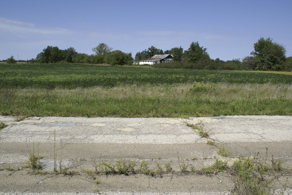
View of Meramec Barn

Frontal view
20111029_DSP_0007.jpg
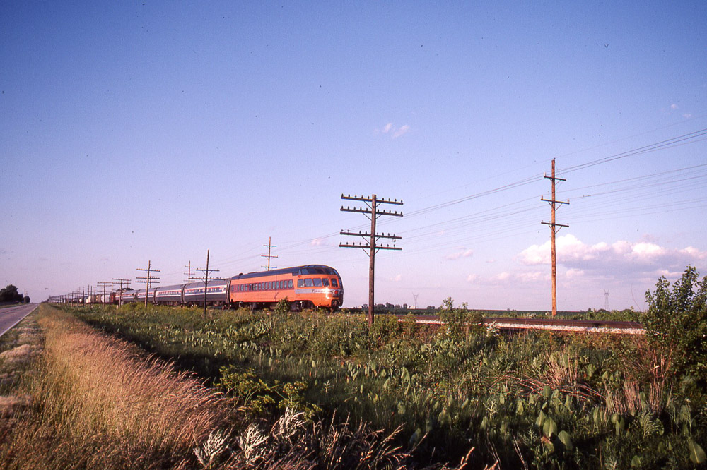
Milwaukee Road - Hiawatha - Cedar Rapids, Skytop Observation Parlor Lounge Car north of Pontiac on 6/24/84
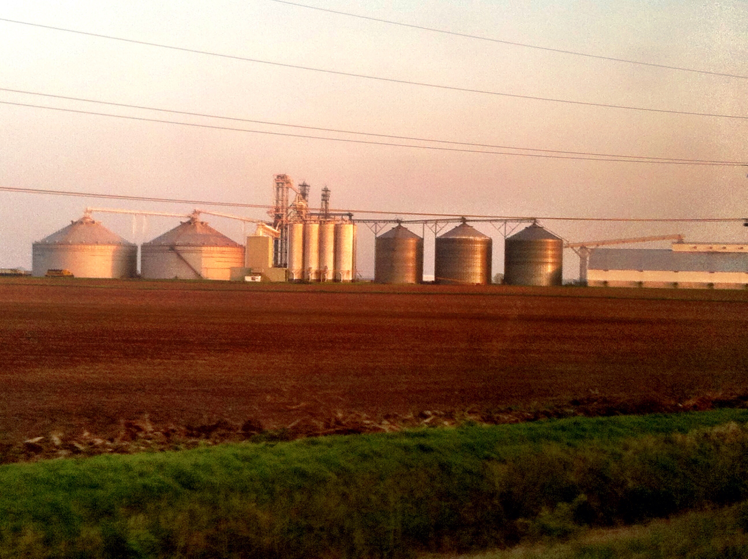
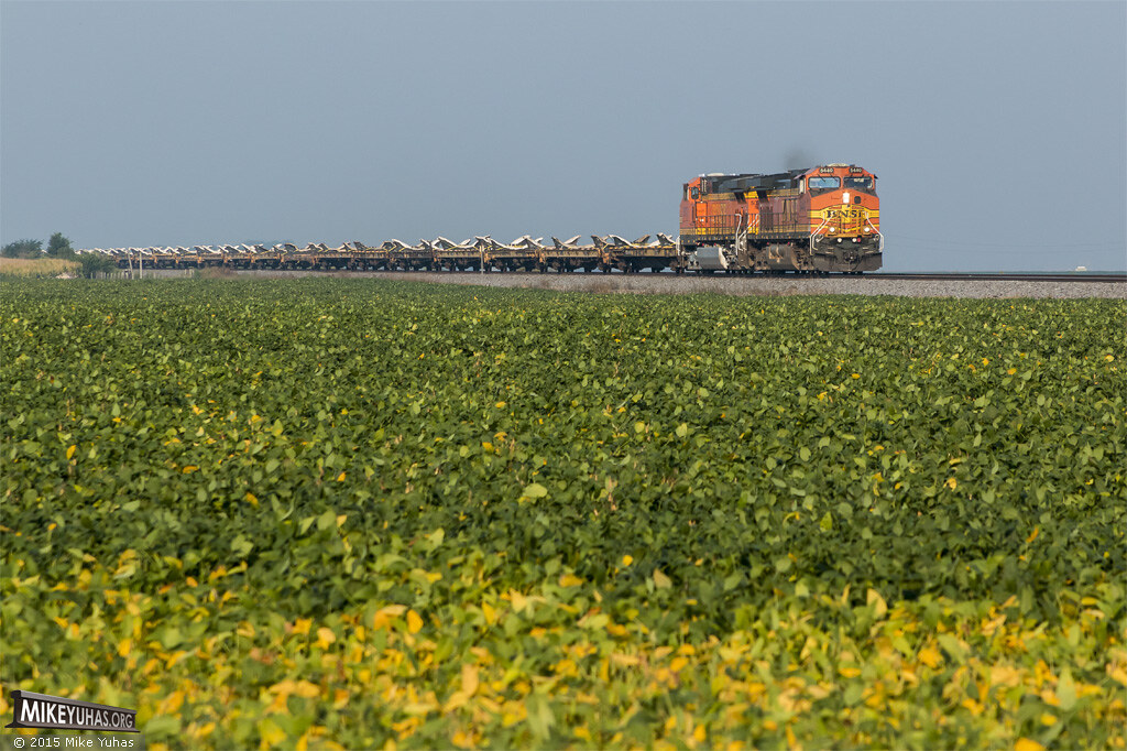
Compare silos to train size... #GMO corn anyone?
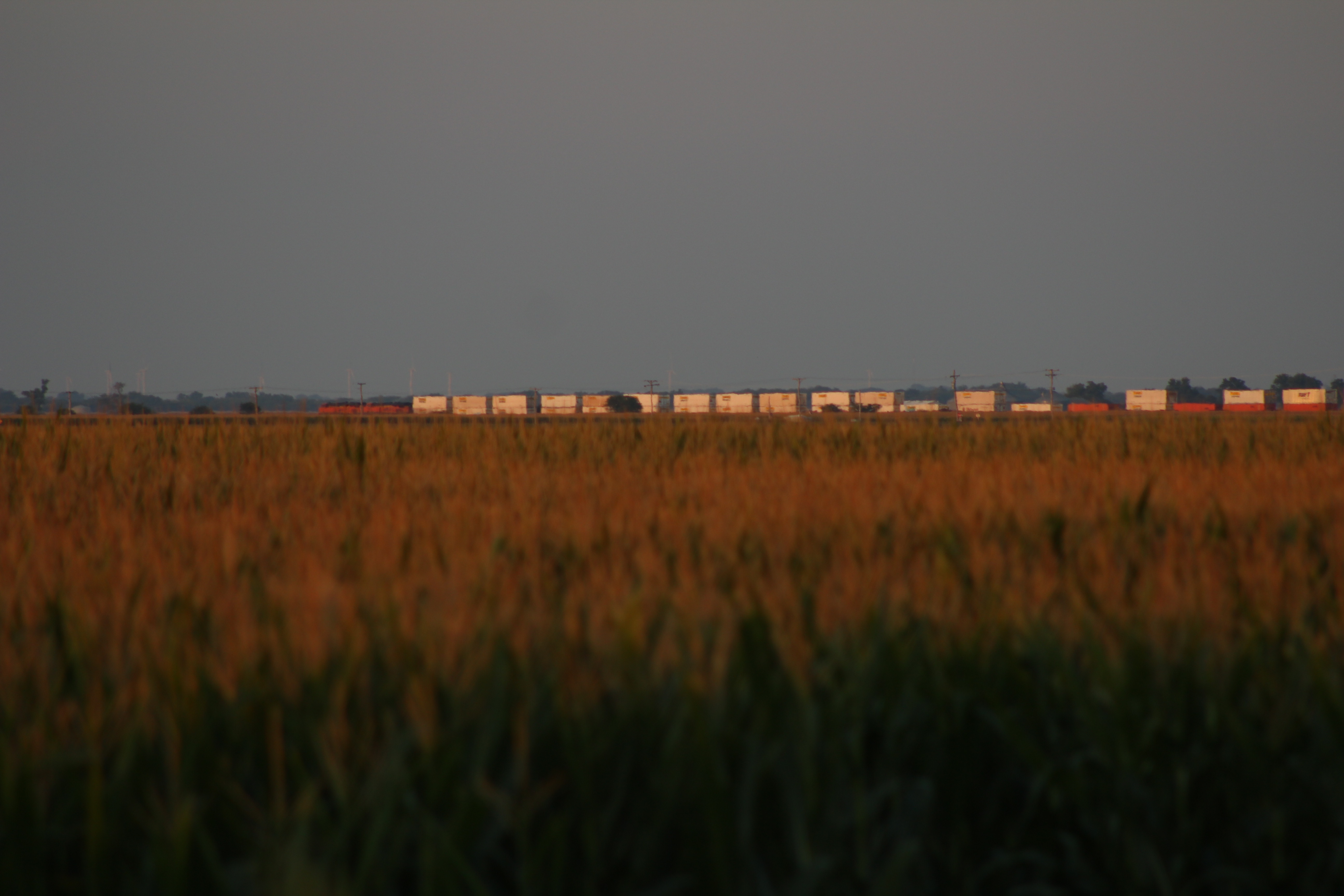
Going away...from 2 miles away

Milwaukee Road - Hiawatha - Cedar Rapids, Skytop Observation Parlor Lounge Car north of Pontiac on 6/24/84
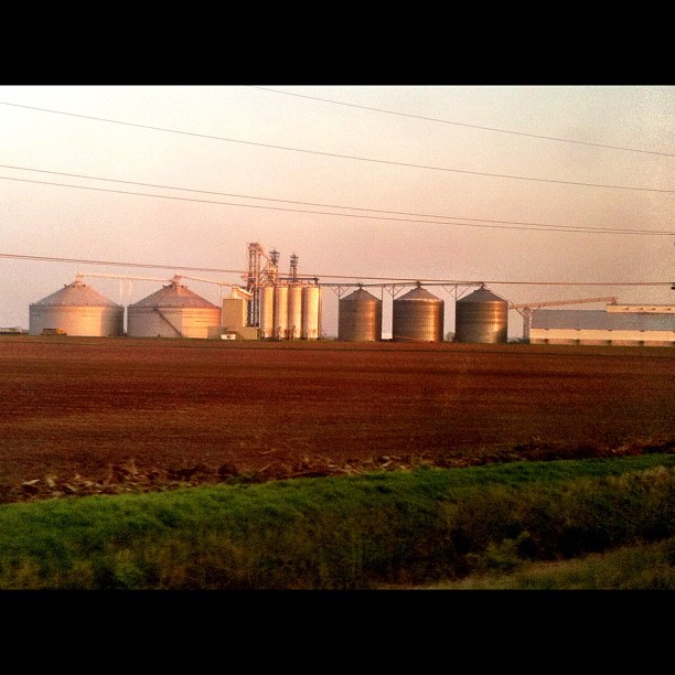
Biggest grain silo / farm system I've ever seen! (look to left for a train for size perspective). #GMO anyone? ....everyone.
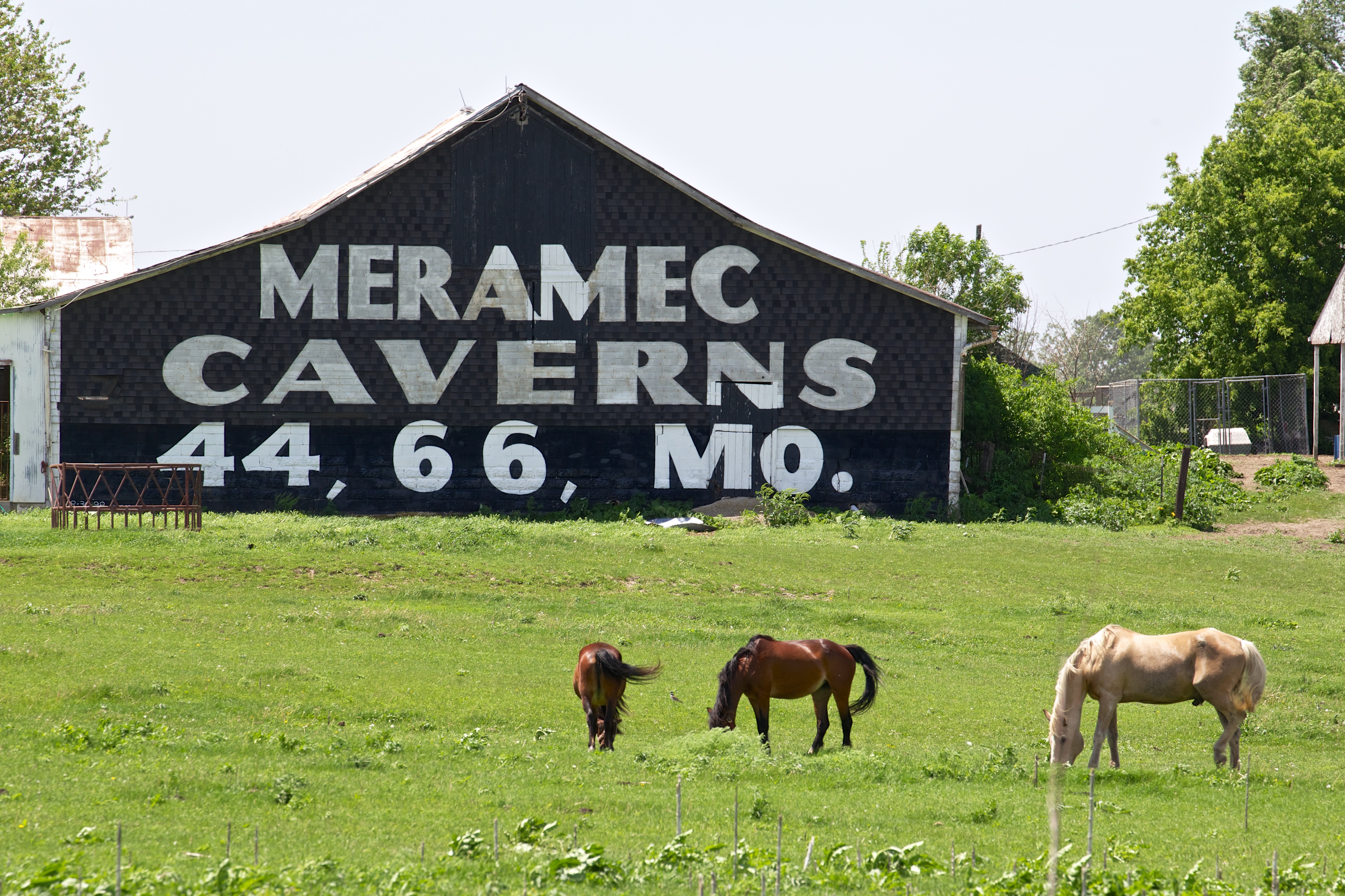
IL Rowe - Meramec Caverns Barn Sign
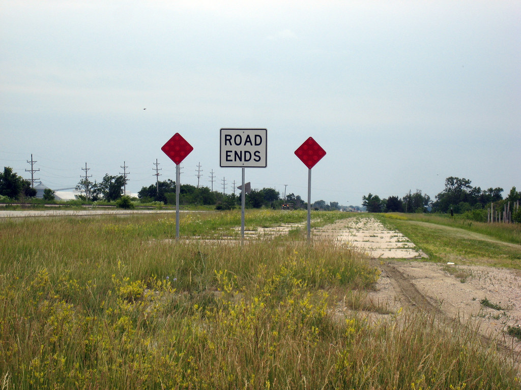
Beginning of Route 66: Odell, Illinois
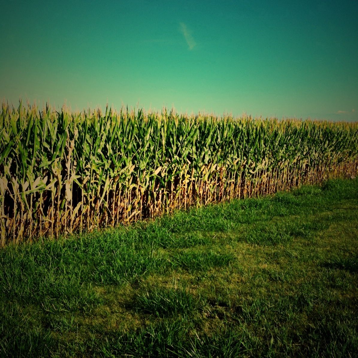
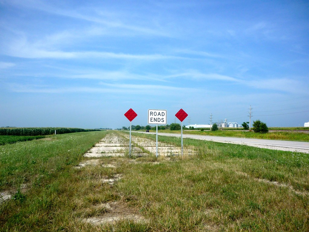
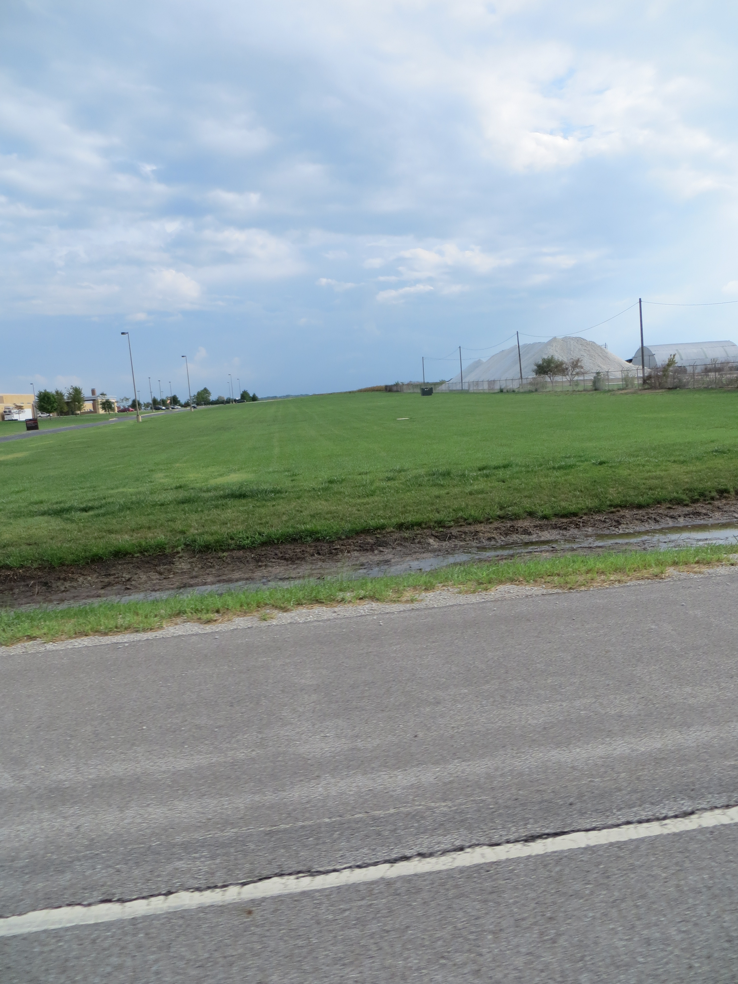
Day 223/365 Corn Field
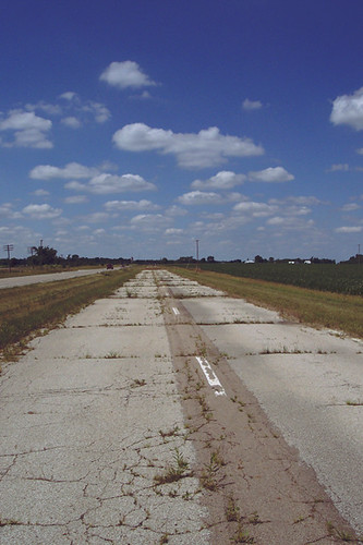
Route 66 Day Four 098 Cayuga Old Highway
Relaxing under a willow
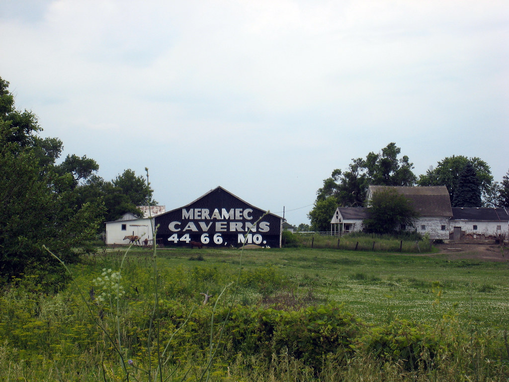
Route 66 Day Four 094 Meramec Barn
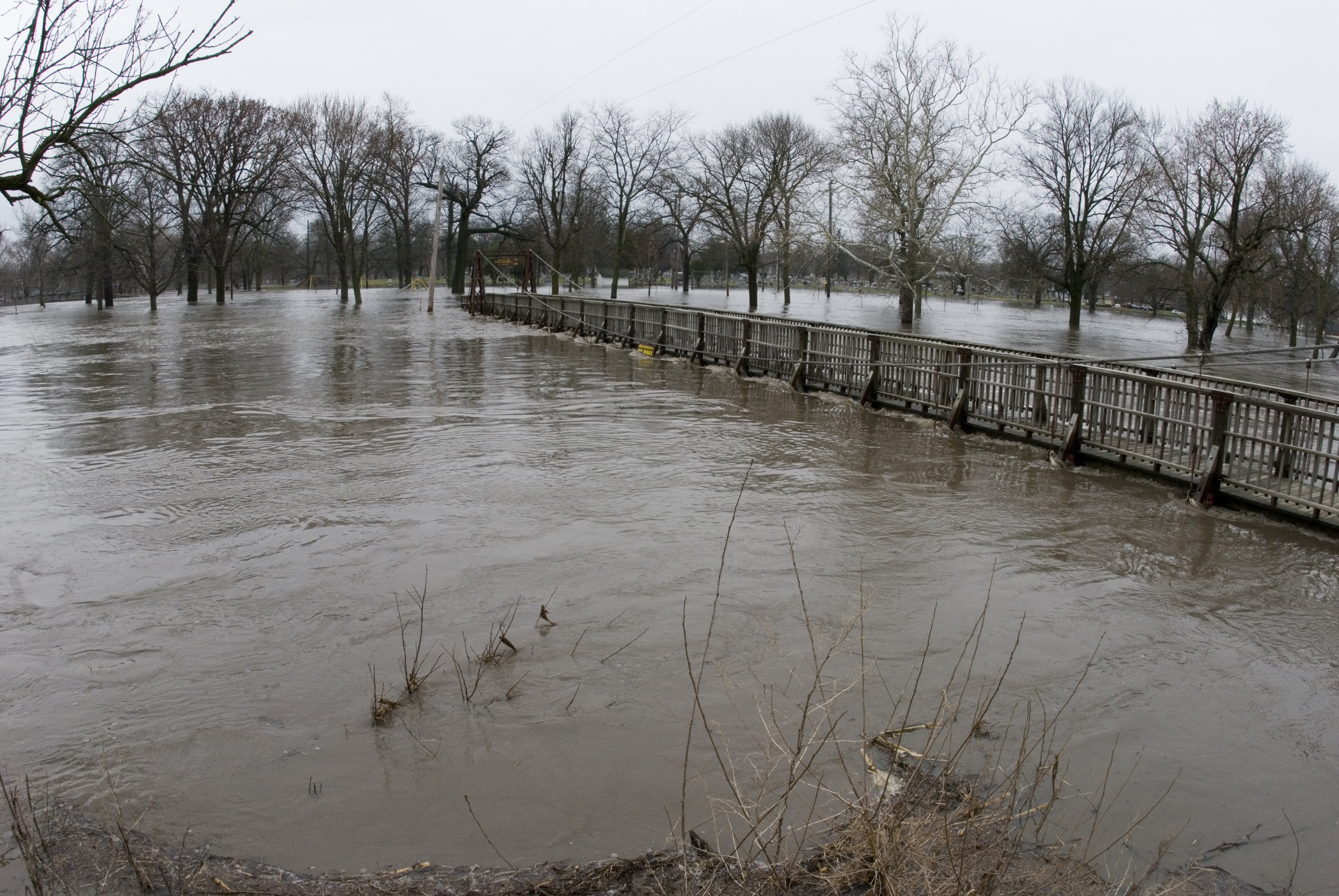
20070324_Vermillion_Flood_036 (1)
[6.19.2005]Route 66 Chenoa, IL to Wilmington, IL
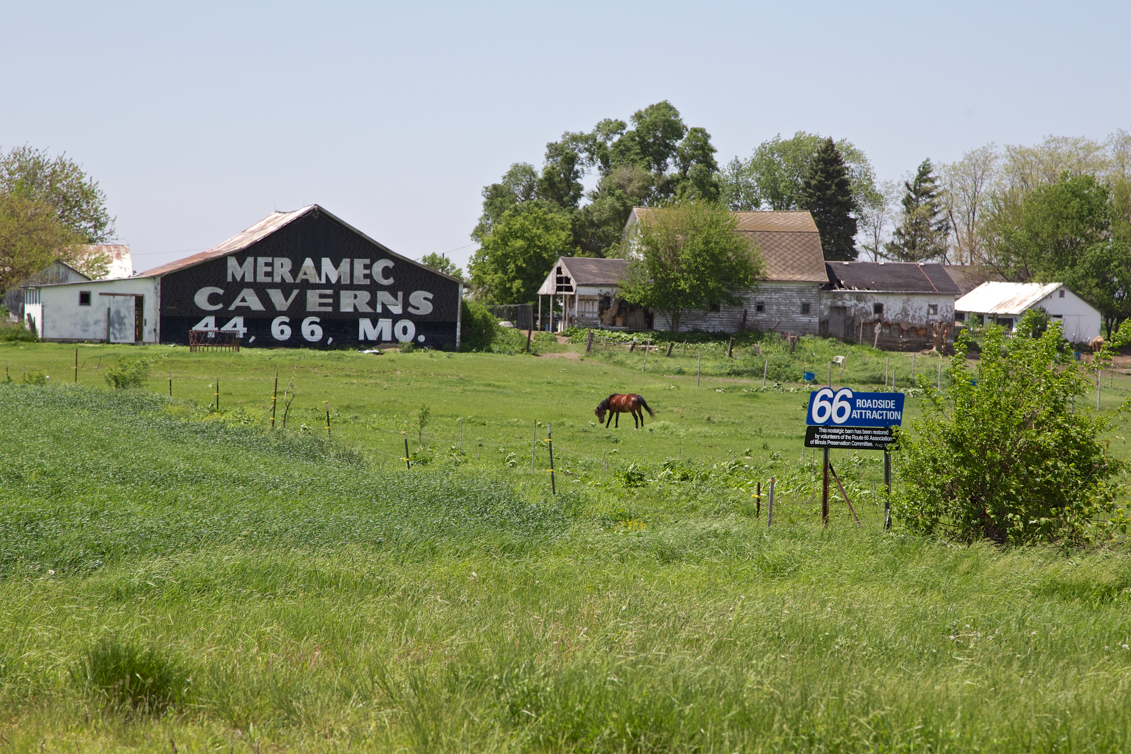
IL Rowe - Meramec Caverns Barn Sign
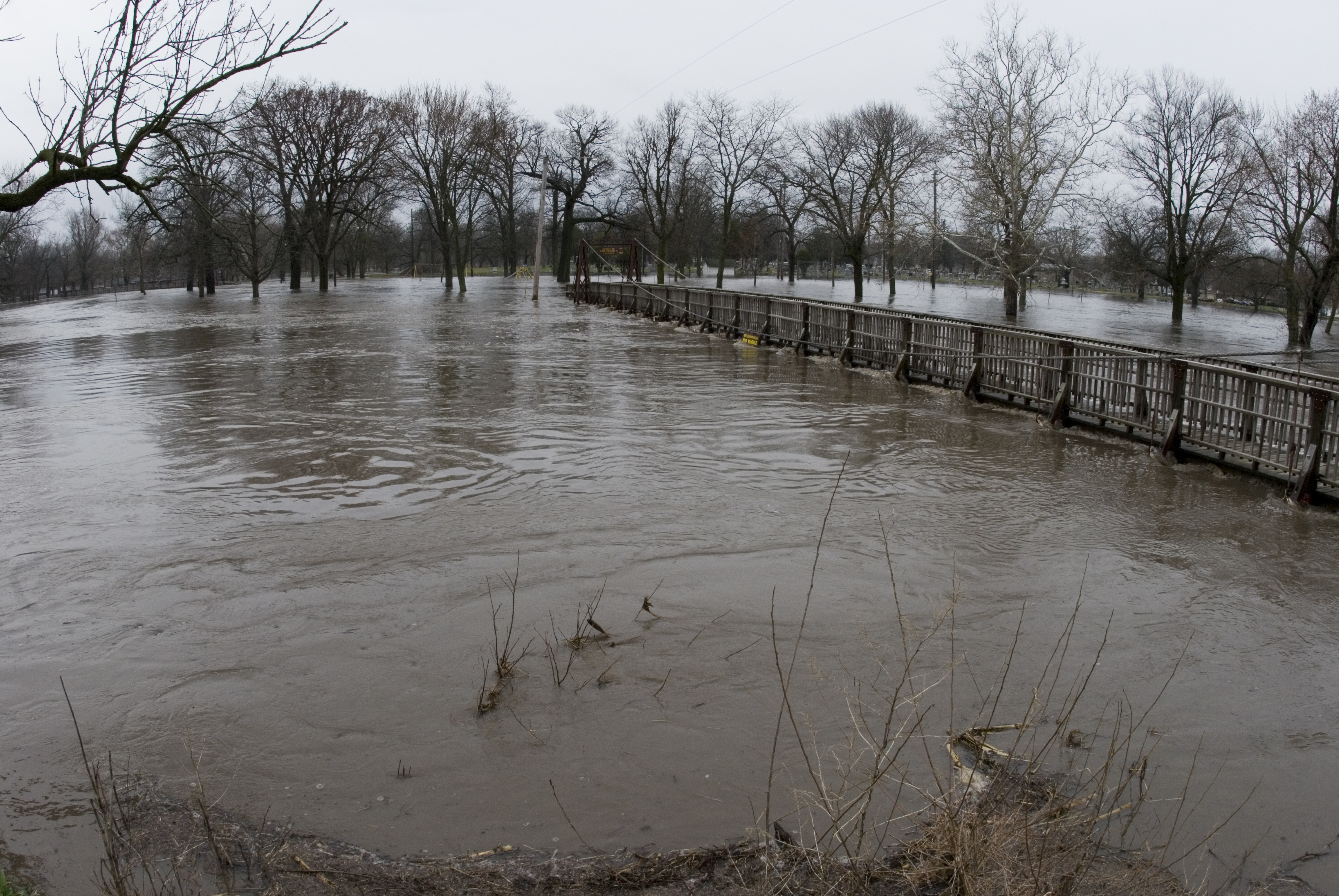
20070324_Vermillion_Flood_037 (1)
Il. part of route 66 with Jaz and Uncle Scott 2012
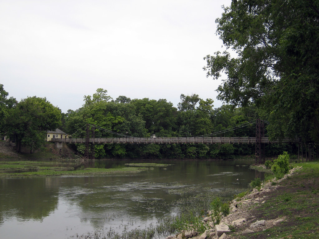
Route 66 Day Four 116 Pontiac Bridge
Across the soybean field
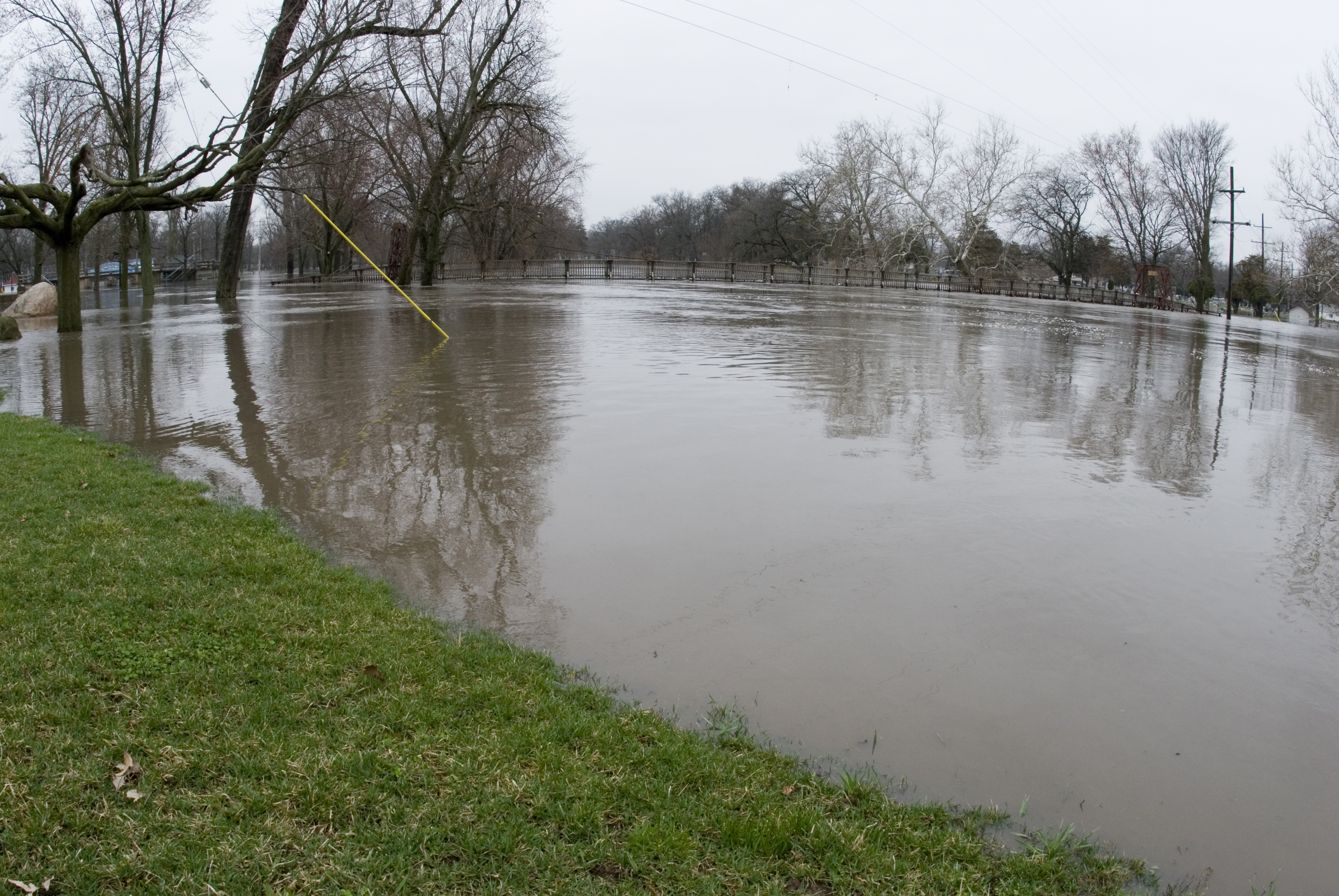
20070324_Vermillion_Flood_057 (1)
Topographic Map of Cornell, IL, USA
Find elevation by address:

Places in Cornell, IL, USA:
Places near Cornell, IL, USA:
6th St, Cornell, IL, USA
Amity Township
Cardinal Ct, Pontiac, IL, USA
Pontiac Township
East Michigan Avenue
River Street
North Chicago Street
Pontiac
N Mill St, Pontiac, IL, USA
East Mckinley Street
119 E Grove St
East Water Street
1 N Gerri St
1408 S Jackson St
402 E Payson St
305 E Pinckney St
East Timber Street
Allen Township
Bp
Reading Township
Recent Searches:
- Elevation of Corso Fratelli Cairoli, 35, Macerata MC, Italy
- Elevation of Tallevast Rd, Sarasota, FL, USA
- Elevation of 4th St E, Sonoma, CA, USA
- Elevation of Black Hollow Rd, Pennsdale, PA, USA
- Elevation of Oakland Ave, Williamsport, PA, USA
- Elevation of Pedrógão Grande, Portugal
- Elevation of Klee Dr, Martinsburg, WV, USA
- Elevation of Via Roma, Pieranica CR, Italy
- Elevation of Tavkvetili Mountain, Georgia
- Elevation of Hartfords Bluff Cir, Mt Pleasant, SC, USA