Elevation of 6th St, Cornell, IL, USA
Location: United States > Illinois > Livingston County > Amity Township > Cornell >
Longitude: -88.729608
Latitude: 40.9900766
Elevation: 194m / 636feet
Barometric Pressure: 99KPa
Elevation Map:
Satellite Map:
Related Photos:
Same shelf cloud

Sunset on the Santa Fe

Old Oakland - Front View

Vermillion River, Pontiac, IL

Old Oakland - Side View
Pontiac Illinois, Kelvinator Home, Livingston County IL
Sunbury NP scene north side
View of Meramec Barn

Frontal view

20111029_DSP_0007.jpg
[6.19.2005]Route 66 Chenoa, IL to Wilmington, IL
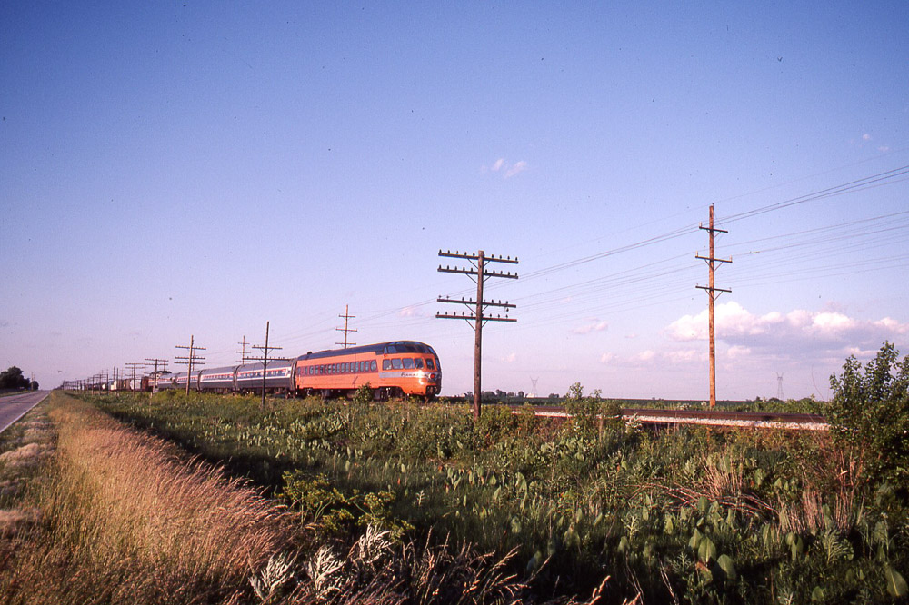
Milwaukee Road - Hiawatha - Cedar Rapids, Skytop Observation Parlor Lounge Car north of Pontiac on 6/24/84
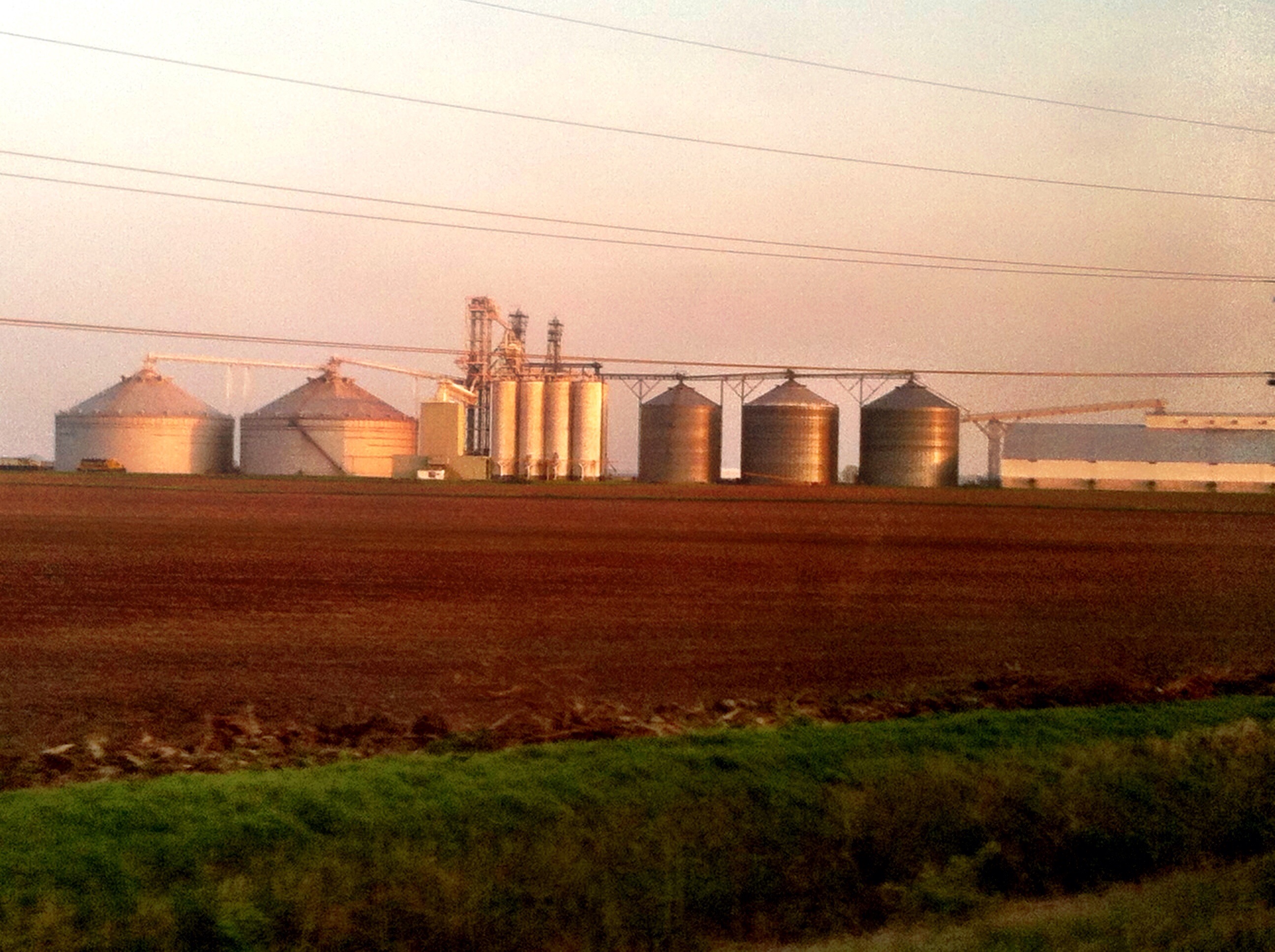
Compare silos to train size... #GMO corn anyone?
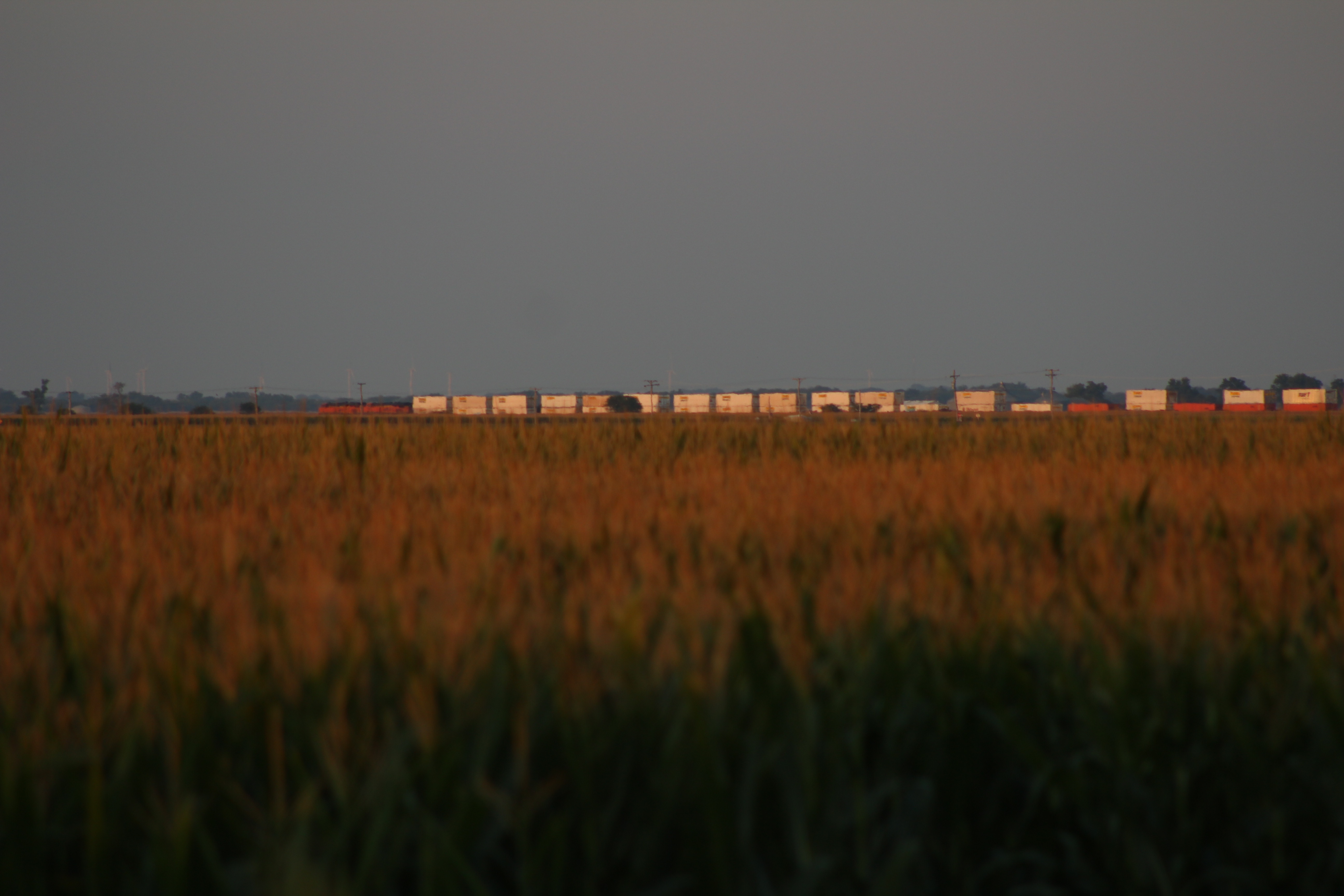
Going away...from 2 miles away

Milwaukee Road - Hiawatha - Cedar Rapids, Skytop Observation Parlor Lounge Car north of Pontiac on 6/24/84
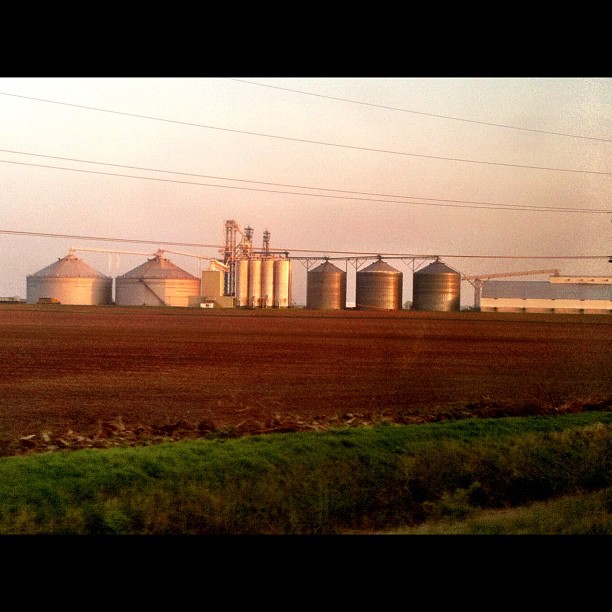
Biggest grain silo / farm system I've ever seen! (look to left for a train for size perspective). #GMO anyone? ....everyone.
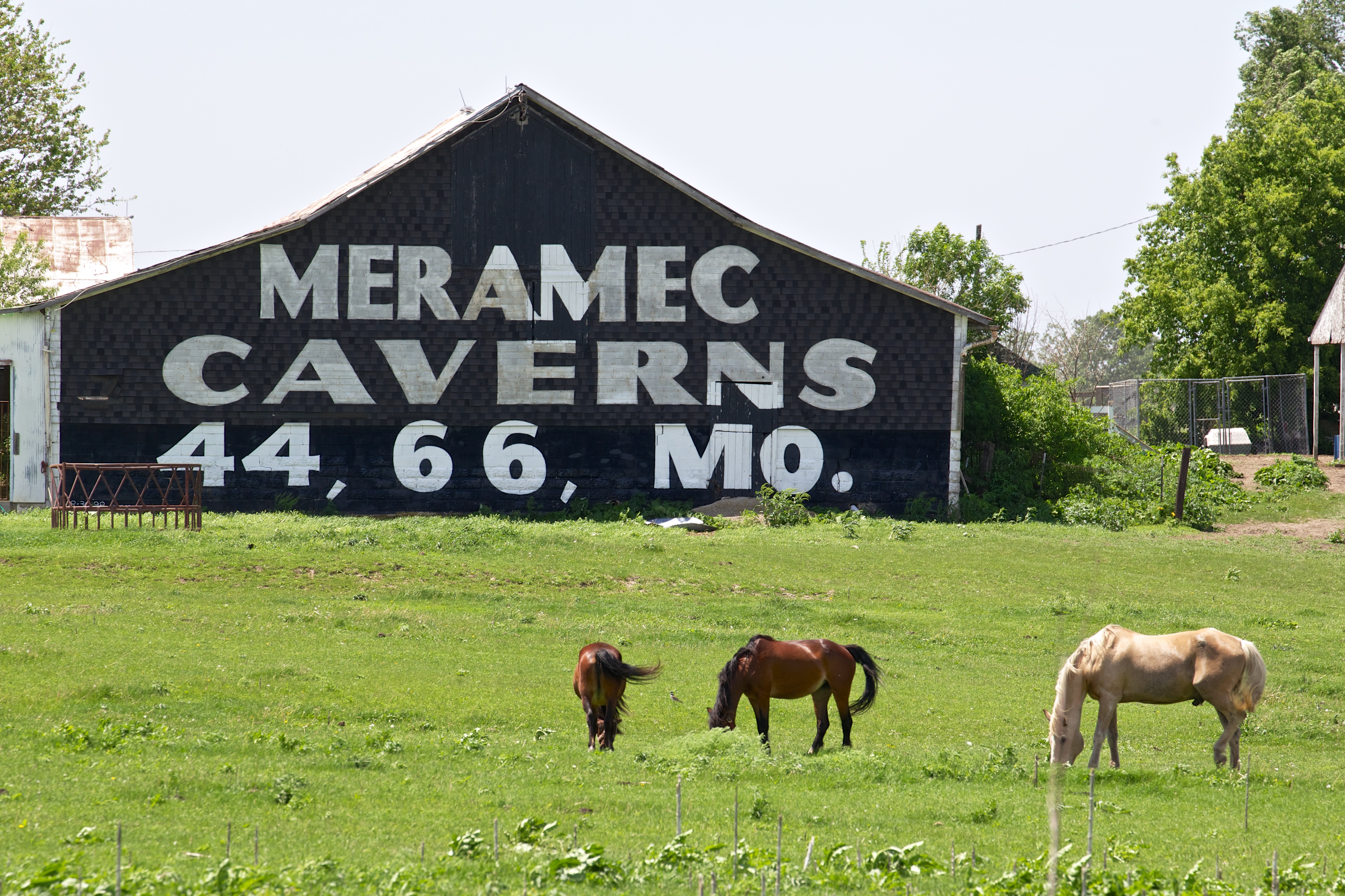
IL Rowe - Meramec Caverns Barn Sign
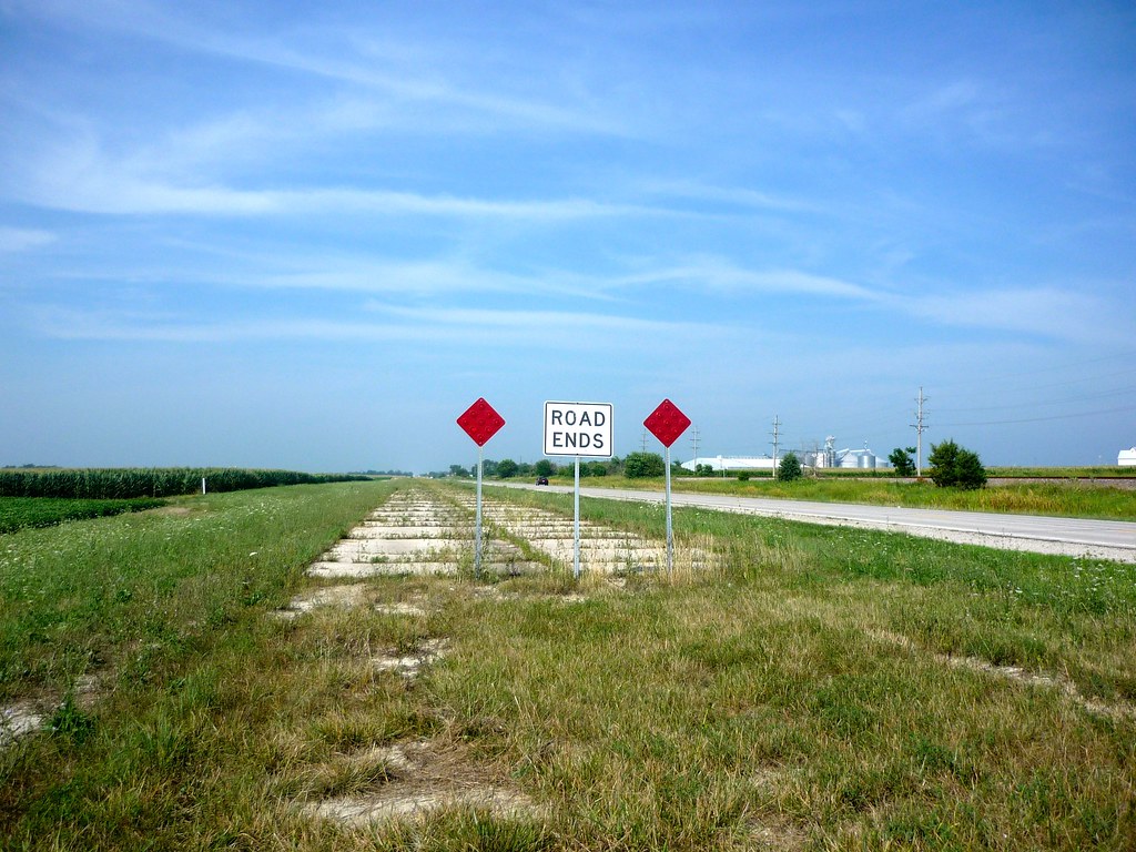
Beginning of Route 66: Odell, Illinois
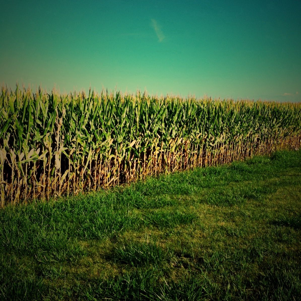
Day 223/365 Corn Field
Route 66 Day Four 098 Cayuga Old Highway
Relaxing under a willow
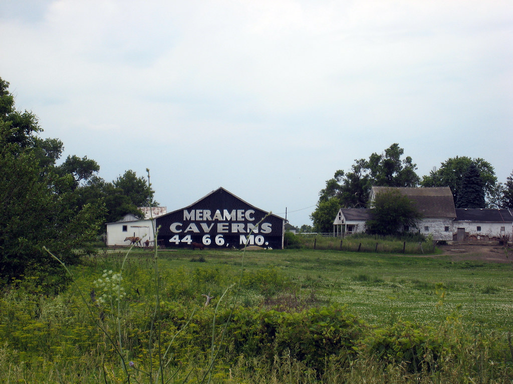
Route 66 Day Four 094 Meramec Barn
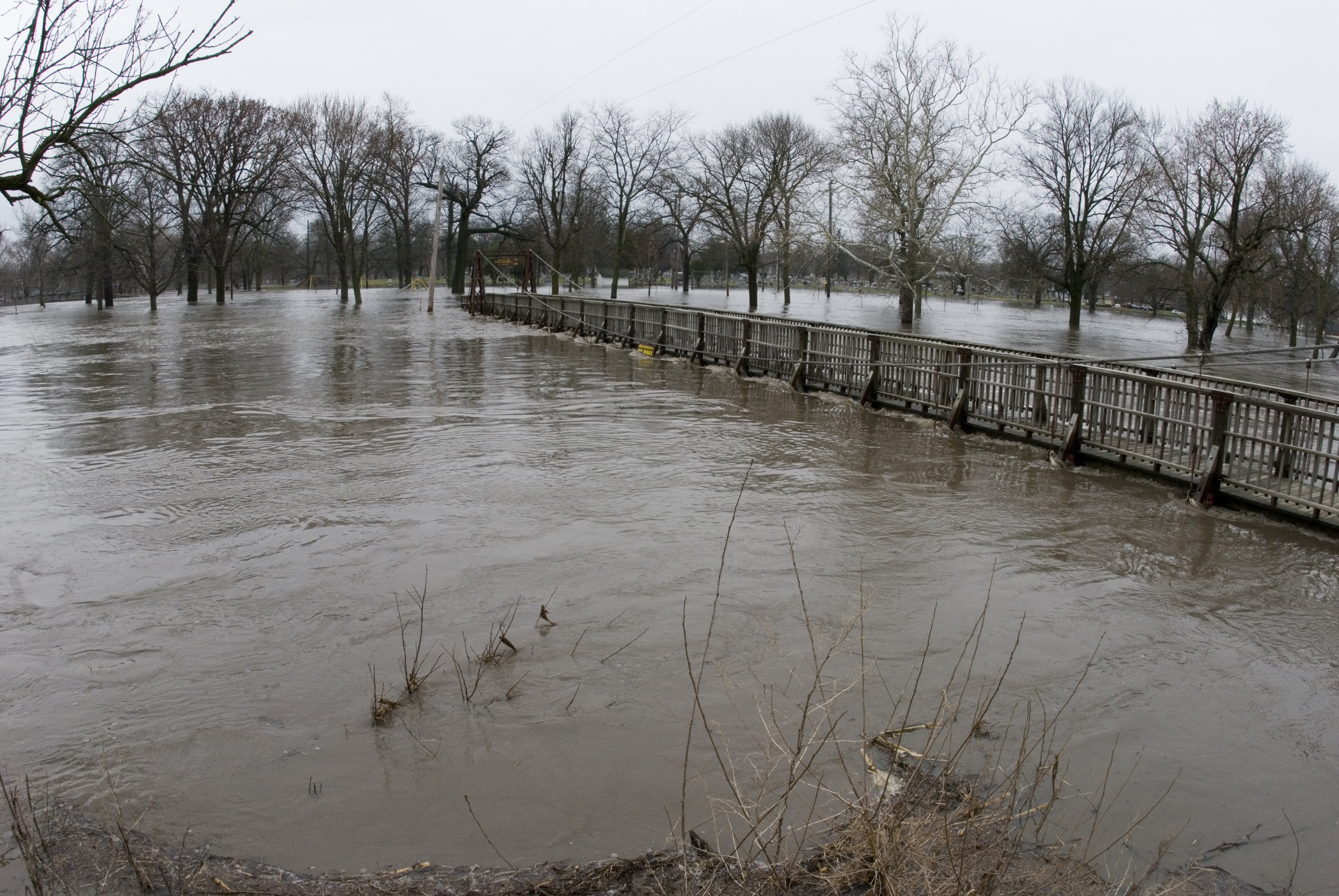
20070324_Vermillion_Flood_036 (1)
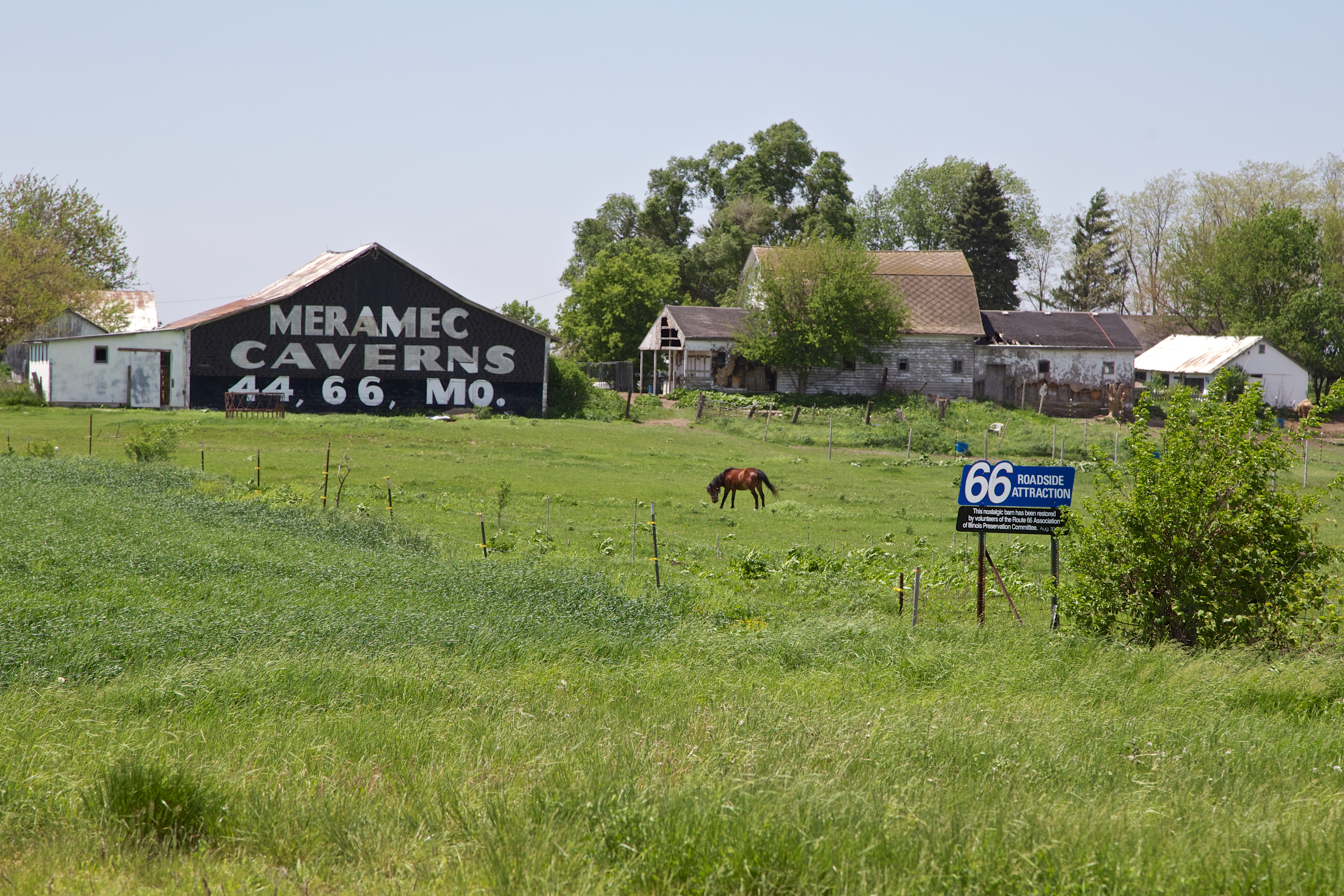
IL Rowe - Meramec Caverns Barn Sign
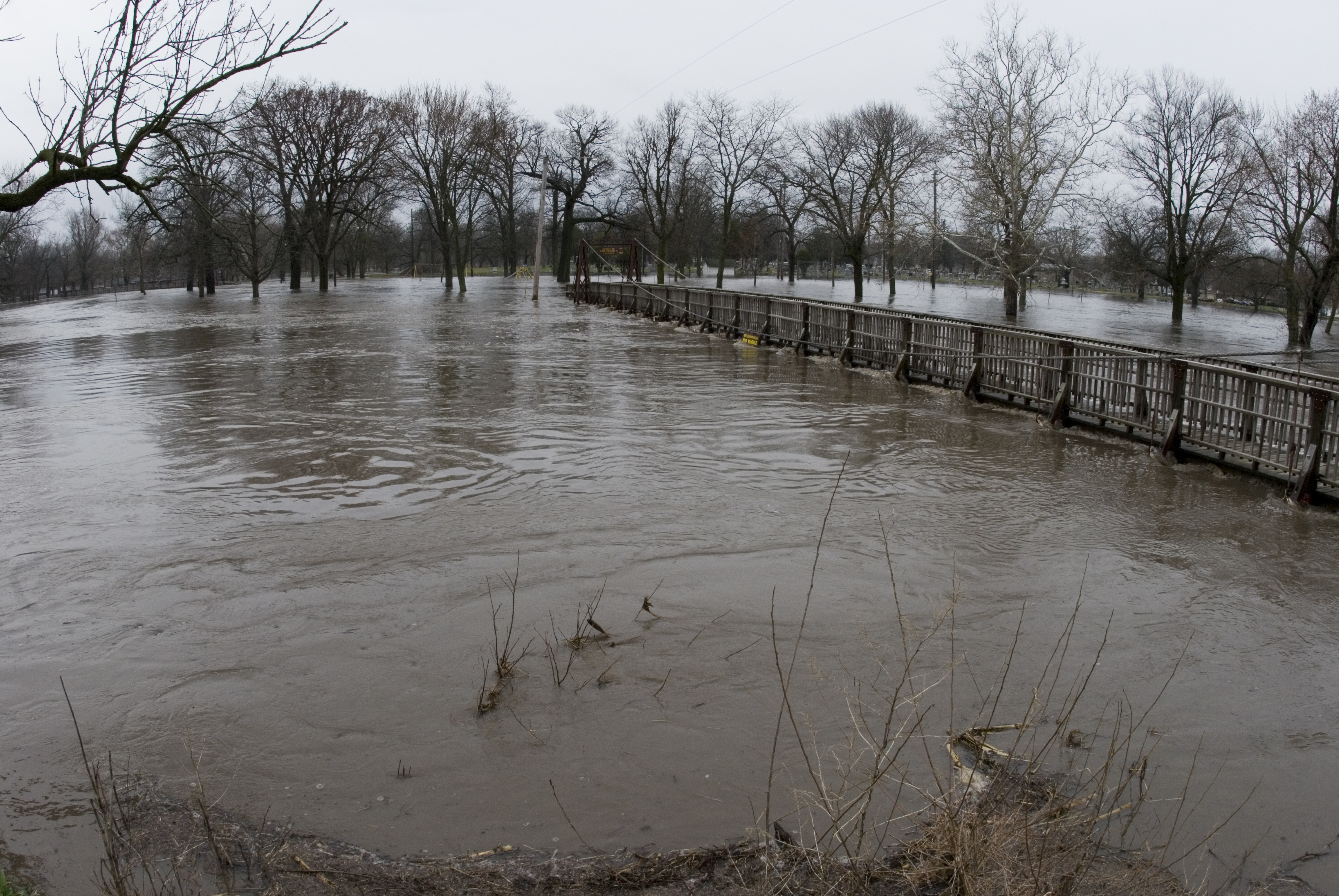
20070324_Vermillion_Flood_037 (1)
Il. part of route 66 with Jaz and Uncle Scott 2012
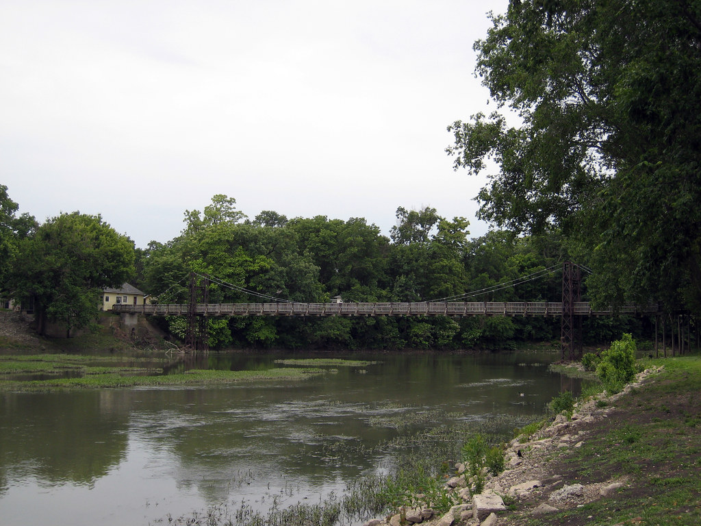
Route 66 Day Four 116 Pontiac Bridge

Across the soybean field
Topographic Map of 6th St, Cornell, IL, USA
Find elevation by address:

Places near 6th St, Cornell, IL, USA:
Cornell
Amity Township
Cardinal Ct, Pontiac, IL, USA
Pontiac Township
East Michigan Avenue
River Street
North Chicago Street
Pontiac
N Mill St, Pontiac, IL, USA
East Mckinley Street
119 E Grove St
East Water Street
1 N Gerri St
1408 S Jackson St
402 E Payson St
305 E Pinckney St
East Timber Street
Allen Township
Bp
Reading Township
Recent Searches:
- Elevation of Corso Fratelli Cairoli, 35, Macerata MC, Italy
- Elevation of Tallevast Rd, Sarasota, FL, USA
- Elevation of 4th St E, Sonoma, CA, USA
- Elevation of Black Hollow Rd, Pennsdale, PA, USA
- Elevation of Oakland Ave, Williamsport, PA, USA
- Elevation of Pedrógão Grande, Portugal
- Elevation of Klee Dr, Martinsburg, WV, USA
- Elevation of Via Roma, Pieranica CR, Italy
- Elevation of Tavkvetili Mountain, Georgia
- Elevation of Hartfords Bluff Cir, Mt Pleasant, SC, USA