Elevation of Copps Chapel Rd, Wooldridge, MO, USA
Location: United States > Missouri > Moniteau County > Linn Township >
Longitude: -92.50587
Latitude: 38.87879
Elevation: 235m / 771feet
Barometric Pressure: 99KPa
Elevation Map:
Satellite Map:
Related Photos:

Rock Bridge Memorial State Park
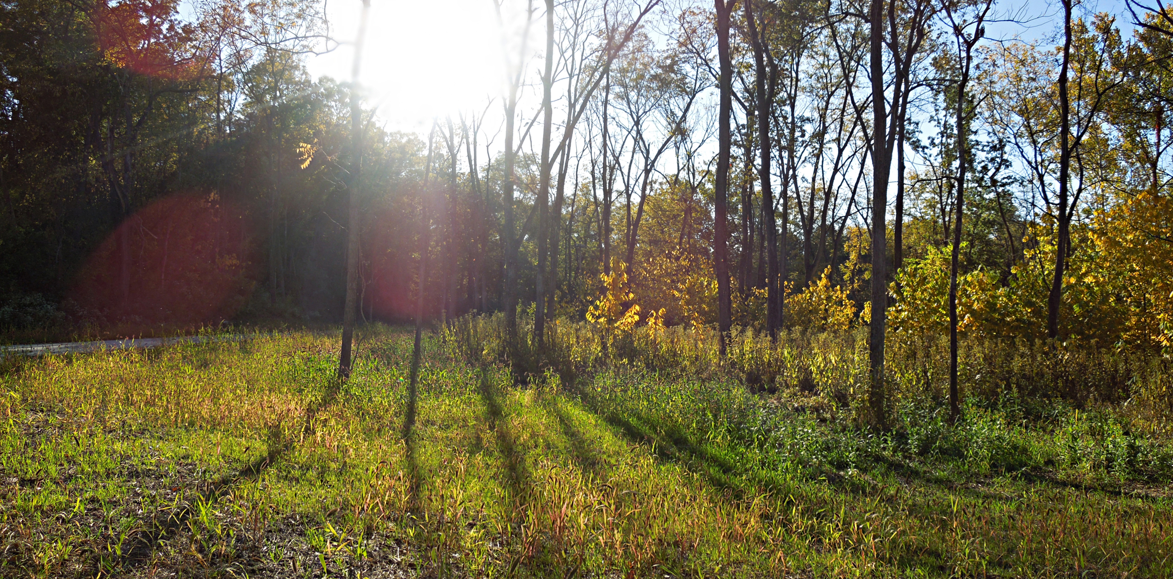
Early Autumn Along County House Trail
bluff view

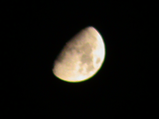
View of the Moon

Daimler DR450 Majestic Major Limousine

Devil's Icebox Panoramas
Window View

View of The Moon
Sun trying to peek through...

Old Hawthorne Clubhouse

Homemade wall lamp, side view
View of The Moon

old VWs in Columbia MO
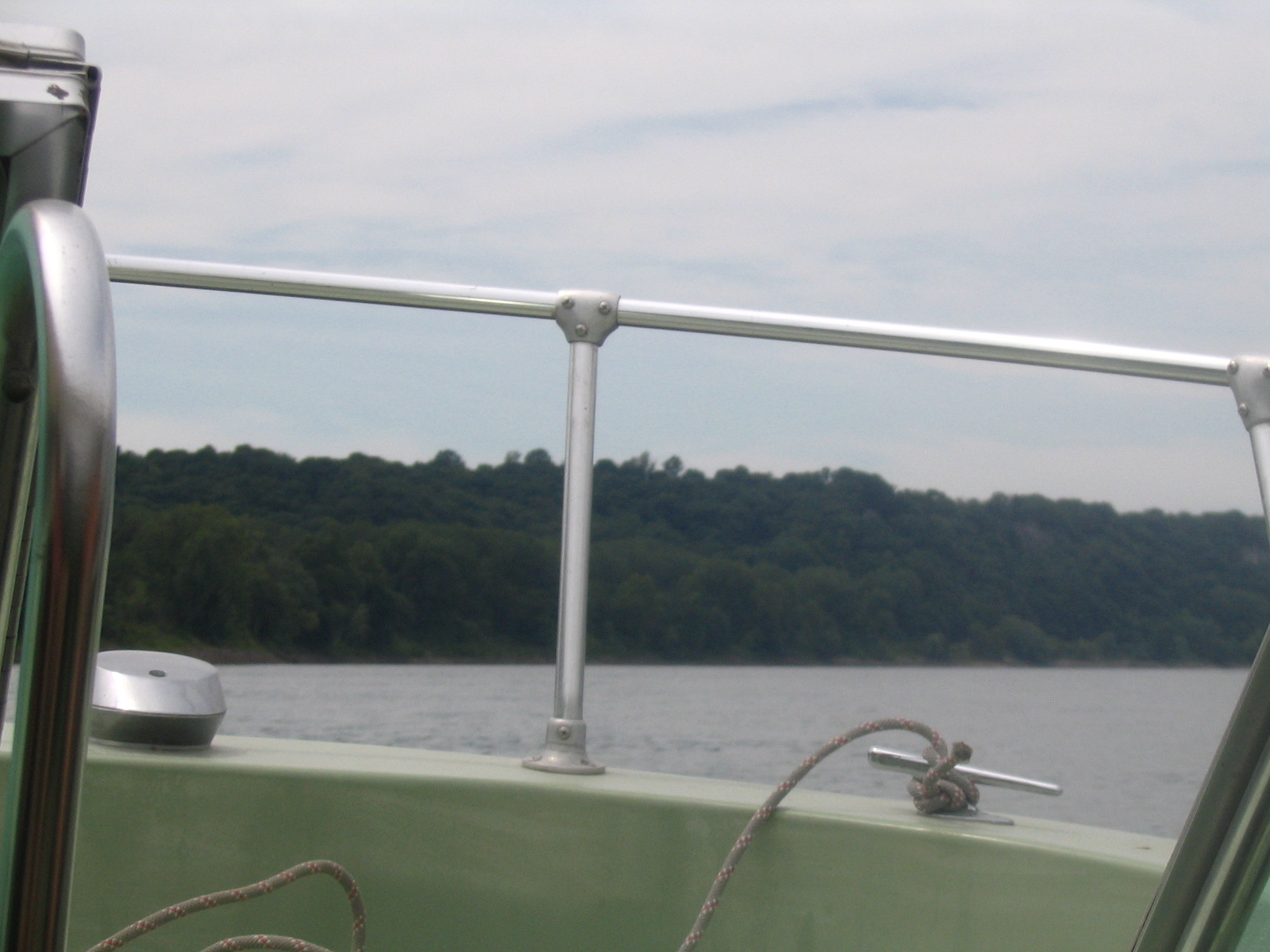
View from the boat

Cheerleader cutout
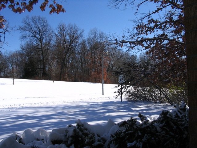
Snow day

The Rock Shelf and Leaves

The Magic Tree (Explored)

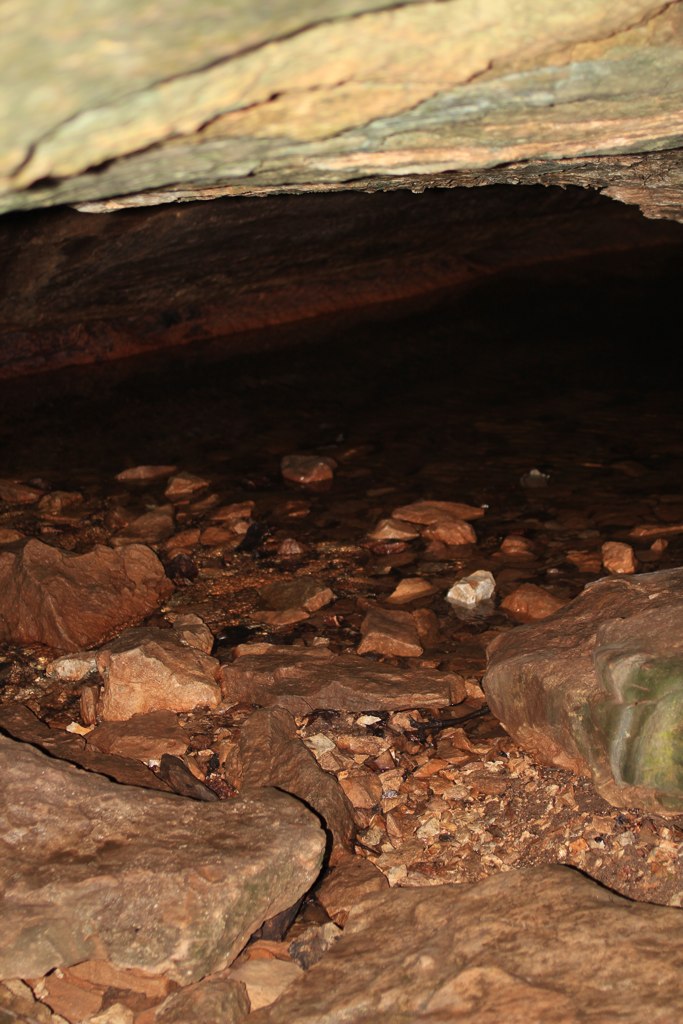
Creek bed coming out of the Rock Bridge

Sinkhole Trail

Deer Run Trail

Moonrise ambiance

Rock Walls Surrounding Devil's Icebox Cave
Devil's Icebox Cave

Rock Overlooking Deer Run Trail

Raised trails along the creek

Moonlit Silhouette

Where the sun hits the soil, it shines bright red and orange

Baby waterfall and lovely reflections of the green canopy above

Electric Catwalk

The Rock Bridge
Locust Tree

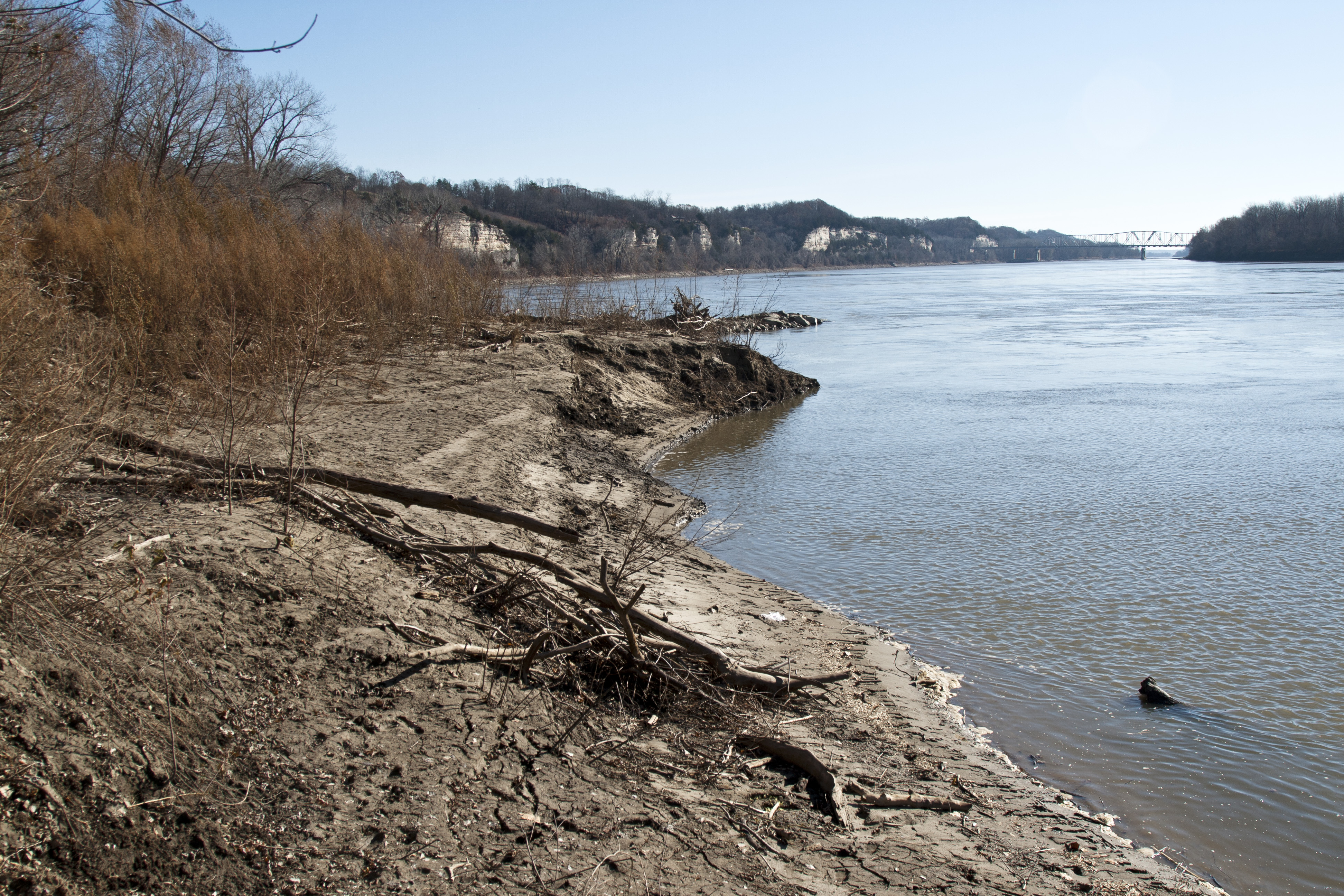
Missouri River at Eagle Bluffs Conservation Area

Time Traveler
Great Burr Oak

157/365 Les Bourgeous Vineyards

Roachport MO
Topographic Map of Copps Chapel Rd, Wooldridge, MO, USA
Find elevation by address:

Places near Copps Chapel Rd, Wooldridge, MO, USA:
Huntsdale
Sarr St, Columbia, MO, USA
55929 Hwy P
Lupus Rd, Jamestown, MO, USA
2205 Becky's Bluff Ct
Katy Township
Rock Bridge
Linn Township
Providence
Jamestown
Cedron Rd, Jamestown, MO, USA
2236 Walcox Dr
Easley
7701 Chimney Ridge Rd
Columbia, MO, USA
1700 Forum Blvd
Columbia Mall
615 Dustin Dr
Missouri Township
5688 S Bethel Church Rd #5678
Recent Searches:
- Elevation of Corso Fratelli Cairoli, 35, Macerata MC, Italy
- Elevation of Tallevast Rd, Sarasota, FL, USA
- Elevation of 4th St E, Sonoma, CA, USA
- Elevation of Black Hollow Rd, Pennsdale, PA, USA
- Elevation of Oakland Ave, Williamsport, PA, USA
- Elevation of Pedrógão Grande, Portugal
- Elevation of Klee Dr, Martinsburg, WV, USA
- Elevation of Via Roma, Pieranica CR, Italy
- Elevation of Tavkvetili Mountain, Georgia
- Elevation of Hartfords Bluff Cir, Mt Pleasant, SC, USA