Elevation of Copen, WV, USA
Location: United States > West Virginia > Braxton County > Northern >
Longitude: -80.729543
Latitude: 38.8375952
Elevation: 254m / 833feet
Barometric Pressure: 98KPa
Elevation Map:
Satellite Map:
Related Photos:

What's in my bag?

{10/365}

{12/365}

{11/365}

The Laugher - Charadra deridens
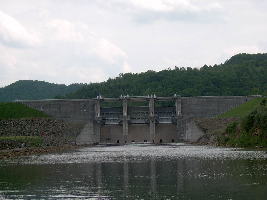
Burnsville Dam Downstream View Image 3 5-15-2004 Photo

Burnsville Dam Downstream View Image 1 5-15-2004 Photo

Burnsville Lake near Bulltown Beach

Bulltown Historic Site (76)

Winter Walk In The Woods

Cedar Creek State Park

Cedar Creek State Park

A Sunny Snowy Day on The Mountain

West Virginia

Cedar Creek State Park

Myrtle Beach 2010 008

Little Kanawha River 11-21-2003 Photo

Burnsville Lake

Duck Run Cable Suspension Bridge

Little Kanawha Valley at Bulltown

Riffle Run 5-15-2004 Photo

Burnsville Lake Image 2 2-9-2008 Photo

Burnsville Lake

Cedar Creek State Park

Burnsville Dam Picnic Area 5-15-2004 Photo

Burnsville Lake Image 3 5-15-2004 Photo

Burnsville Lake near Bulltown Beach
Topographic Map of Copen, WV, USA
Find elevation by address:

Places near Copen, WV, USA:
226 Wine Hollow Rd
Gilmer
Gem Rd, Burnsville, WV, USA
Exchange
Burnsville
Scotts Fork-Bonnie Rd, Exchange, WV, USA
City
Collins Run
Glenville
Indian Fork Road
Indian Fork Road
Indian Fork Road
Northern
496 Happy Hollow
Braxton County
Flatwoods
Orlando
Glenville State College
Glenville
Gilmer County
Recent Searches:
- Elevation of Jadagoniai, Kaunas District Municipality, Lithuania
- Elevation of Pagonija rock, Kranto 7-oji g. 8"N, Kaunas, Lithuania
- Elevation of Co Rd 87, Jamestown, CO, USA
- Elevation of Tenjo, Cundinamarca, Colombia
- Elevation of Côte-des-Neiges, Montreal, QC H4A 3J6, Canada
- Elevation of Bobcat Dr, Helena, MT, USA
- Elevation of Zu den Ihlowbergen, Althüttendorf, Germany
- Elevation of Badaber, Peshawar, Khyber Pakhtunkhwa, Pakistan
- Elevation of SE Heron Loop, Lincoln City, OR, USA
- Elevation of Slanický ostrov, 01 Námestovo, Slovakia