Elevation of Coos Bay Wagon Rd, Roseburg, OR, USA
Location: United States > Oregon > Douglas County > Roseburg >
Longitude: -123.61453
Latitude: 43.1414238
Elevation: 335m / 1099feet
Barometric Pressure: 97KPa
Elevation Map:
Satellite Map:
Related Photos:

Sunroof View
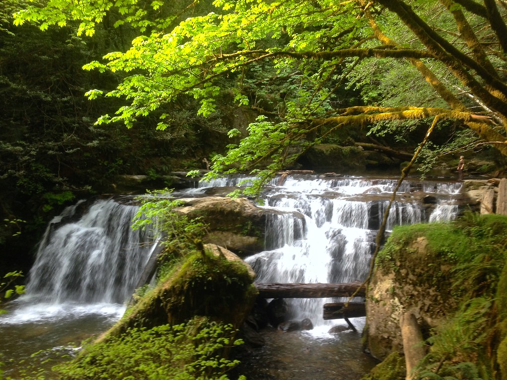
Waterfall in the spring, in the evening.
Britt Nichols County Park

30317823.IM002497

Giraffe at Wildlife Safari

Bison bison
Britt Nichols County Park

Even doggies like flare ☀
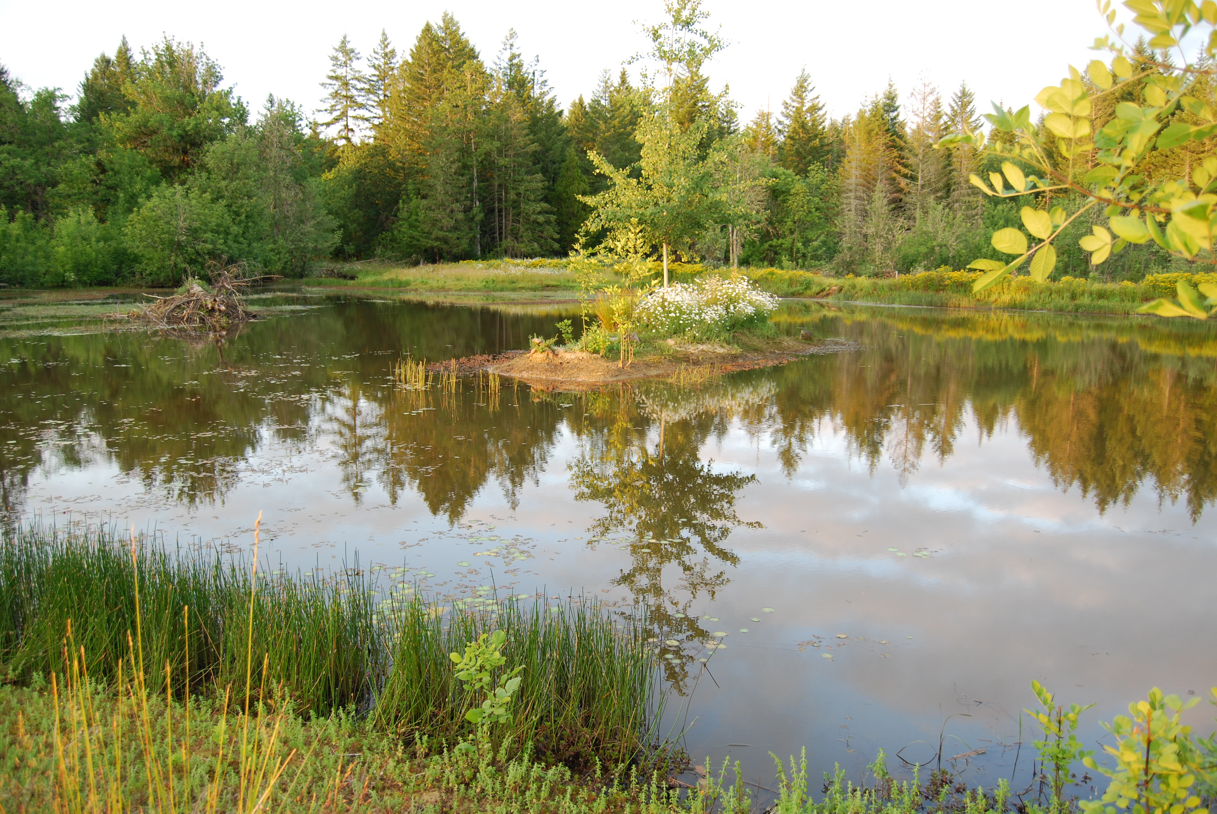
The Pond

Saved by Grace
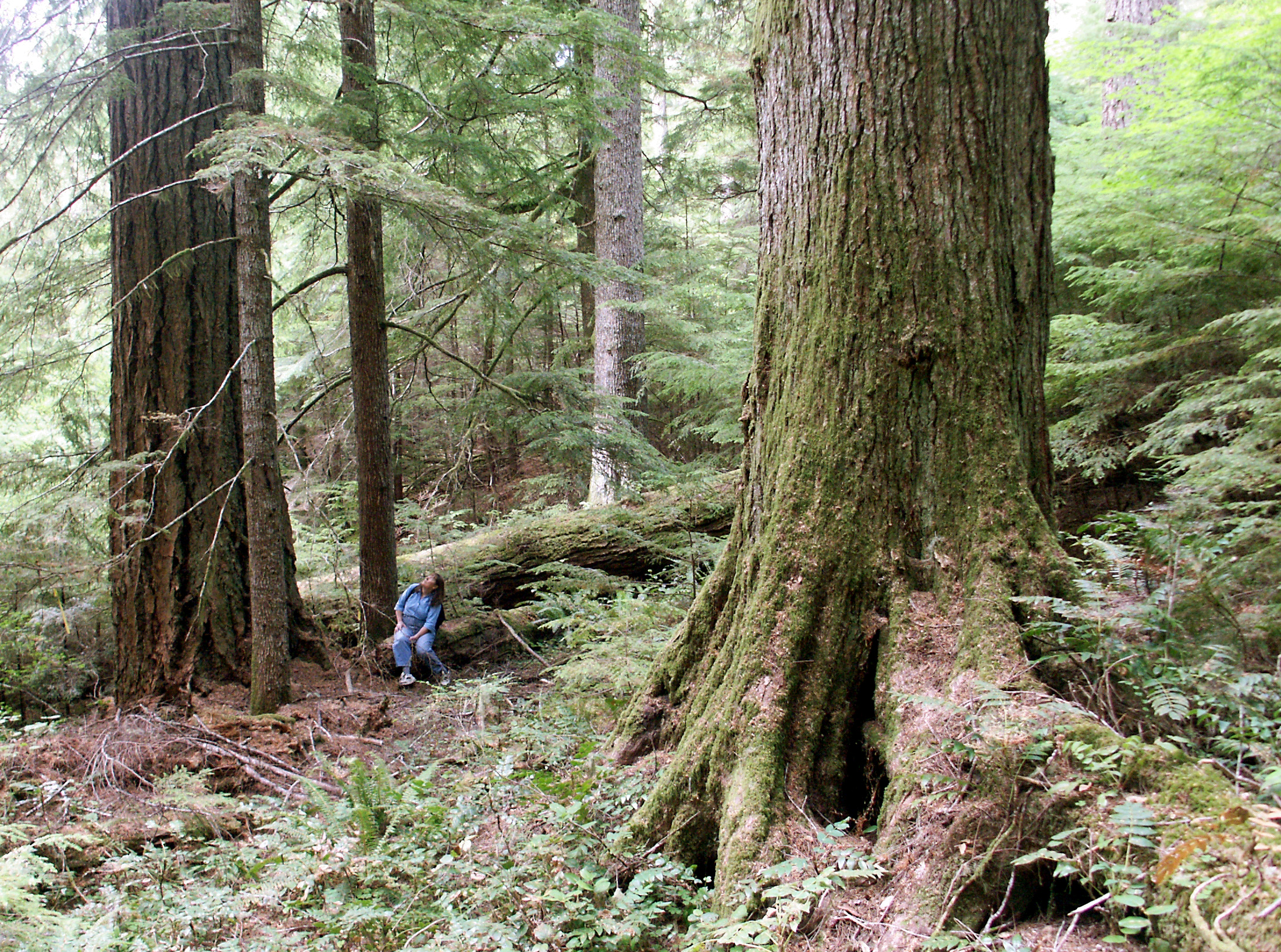
Old Growth Douglas fir and western hemlock
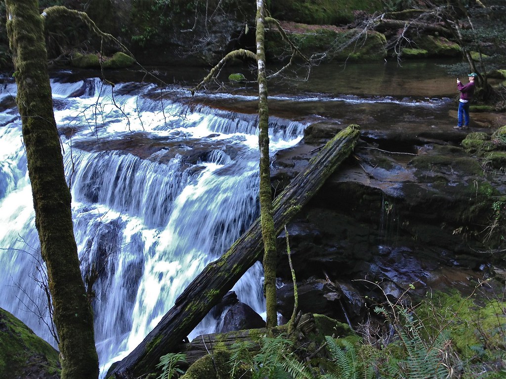
Coos Bay Wagon Road waterfalls

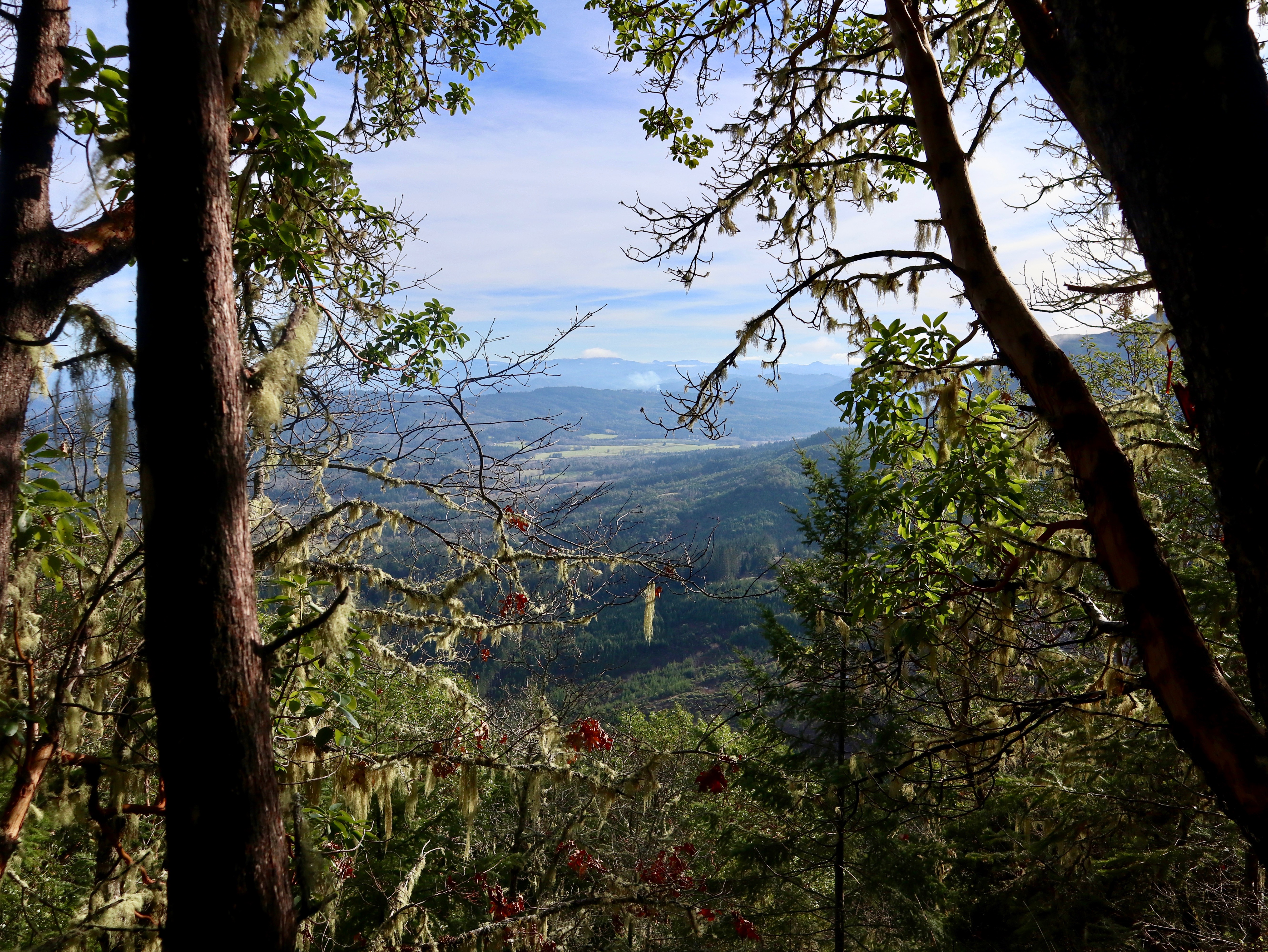
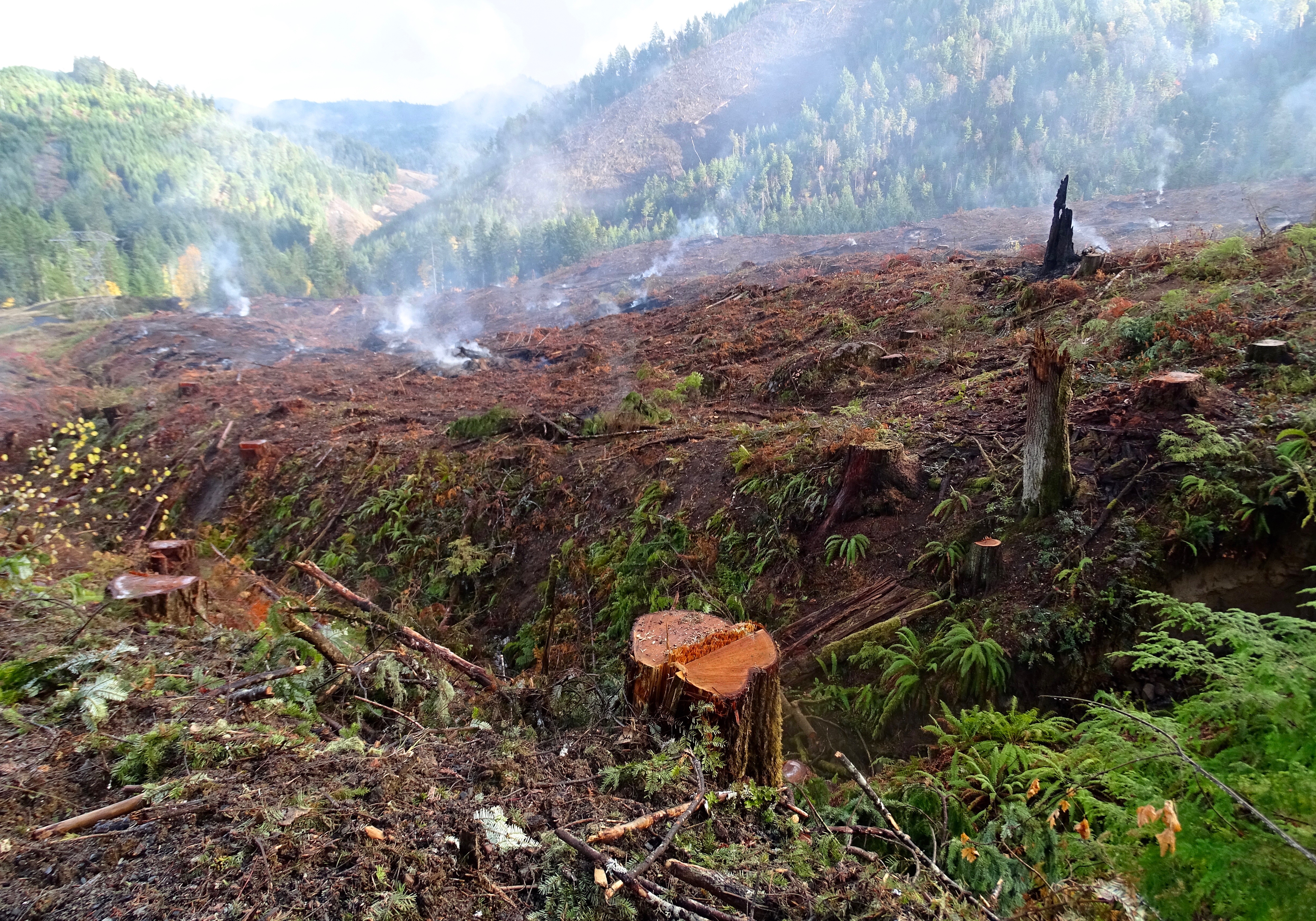
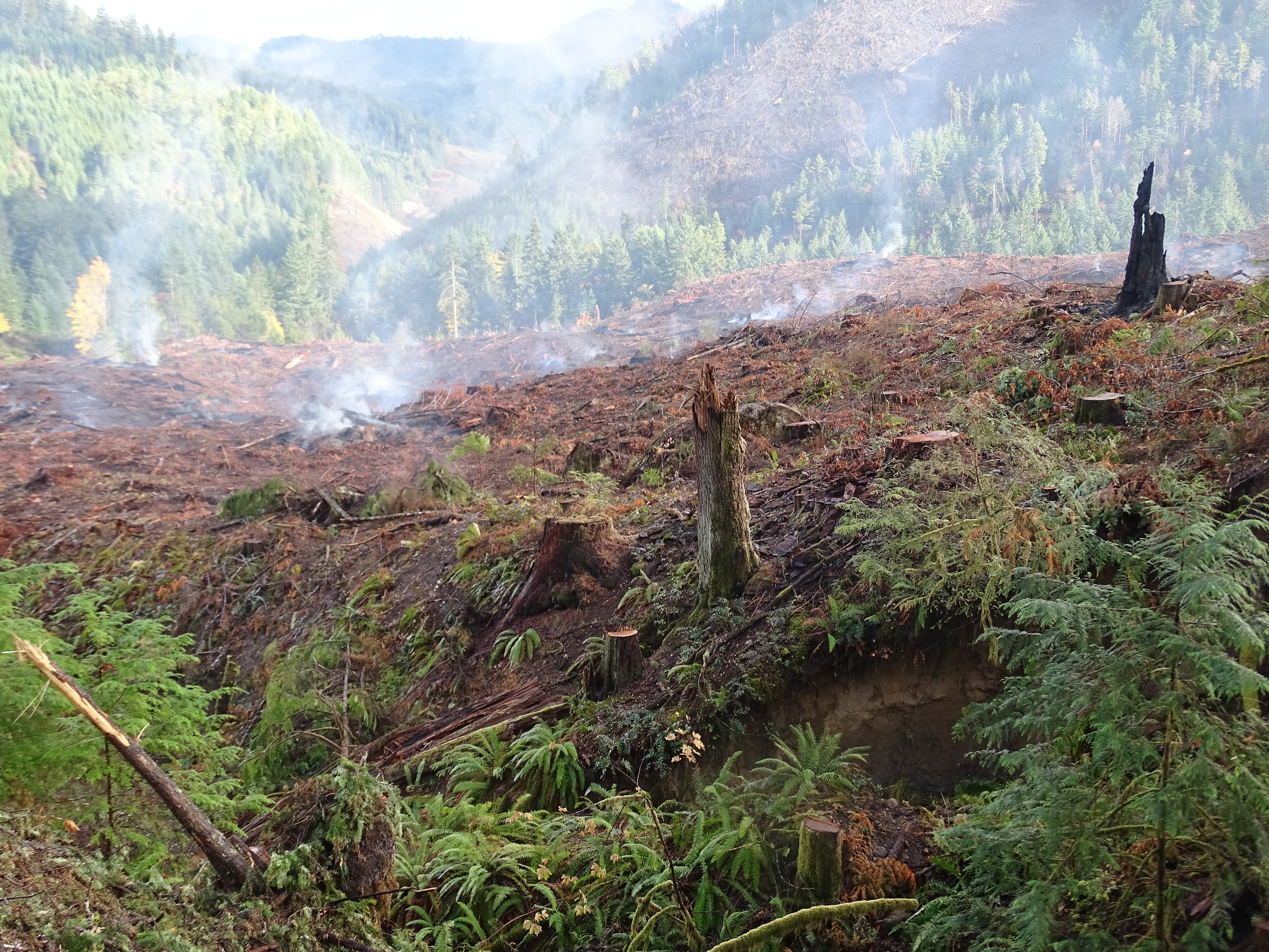
Treasure in the Coast Range

Dave Busenbark County Park

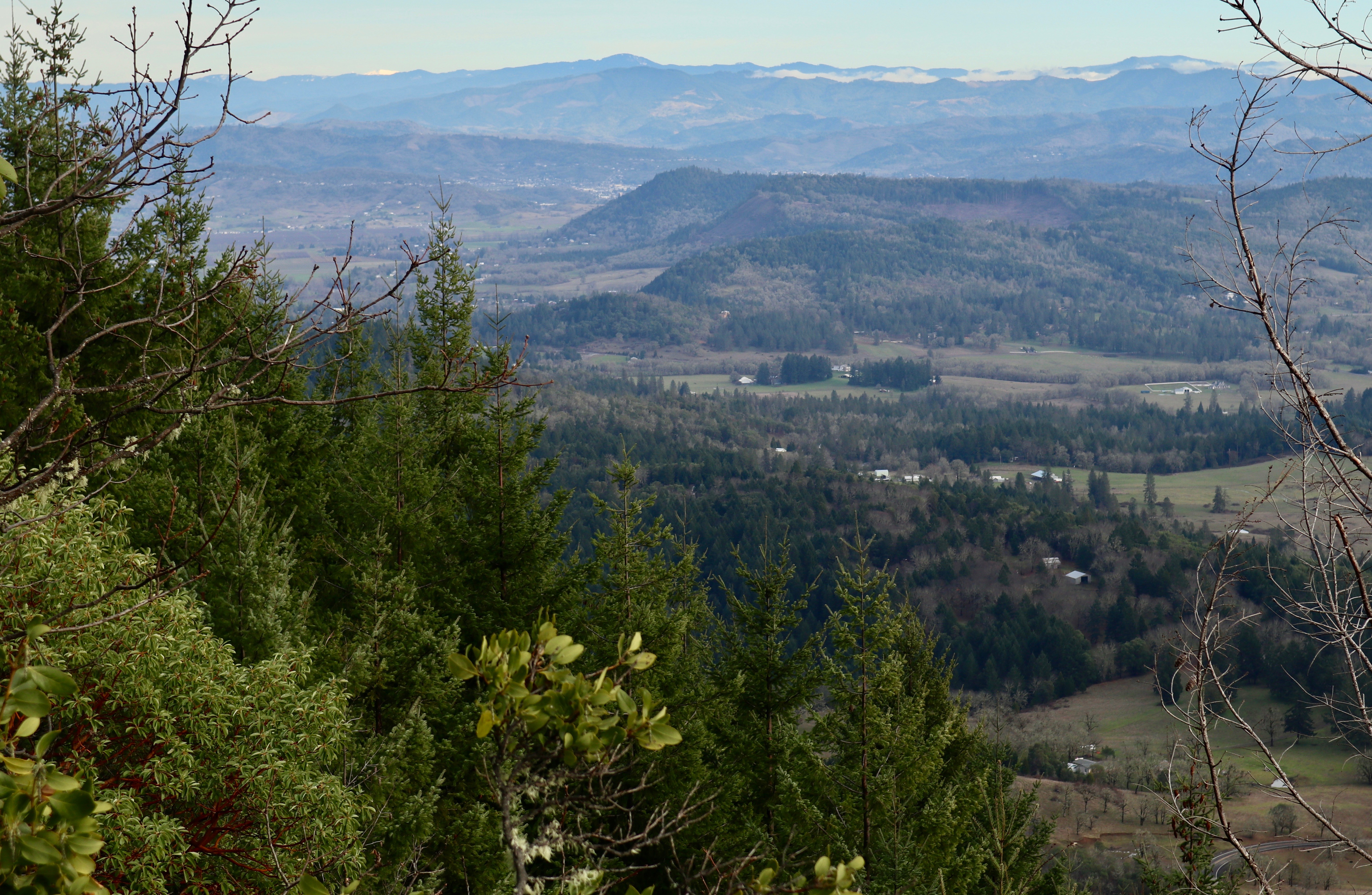
One by One

Fresh snow on the Oregon White Oak, with Black Tail Deer
Dave Busenbark County Park

Abacela I

Abacela II

Abacela III

Dave Busenbark County Park
Dave Busenbark County Park
Topographic Map of Coos Bay Wagon Rd, Roseburg, OR, USA
Find elevation by address:

Places near Coos Bay Wagon Rd, Roseburg, OR, USA:
Reston
400 Mt Gurney Ln
605 Mt Gurney Ln
7100 Coos Bay Wagon Rd
7000 Coos Bay Wagon Rd
6987 Coos Bay Wagon Rd
10436 Coos Bay Wagon Rd
Coos Bay Wagon Road
Tenmile
9392 Or-42
861 Tenmile Valley Rd
736 Baldwin Rd
1824 Coos Bay Wagon Rd
499 Twin Oaks Ln
281 5th St
Old Hwy 99 S, Winston, OR, USA
192 Reston Ave
134 Reston Ave
8791 Old Hwy 99 S
999 Jewel Dr
Recent Searches:
- Elevation of Congressional Dr, Stevensville, MD, USA
- Elevation of Bellview Rd, McLean, VA, USA
- Elevation of Stage Island Rd, Chatham, MA, USA
- Elevation of Shibuya Scramble Crossing, 21 Udagawacho, Shibuya City, Tokyo -, Japan
- Elevation of Jadagoniai, Kaunas District Municipality, Lithuania
- Elevation of Pagonija rock, Kranto 7-oji g. 8"N, Kaunas, Lithuania
- Elevation of Co Rd 87, Jamestown, CO, USA
- Elevation of Tenjo, Cundinamarca, Colombia
- Elevation of Côte-des-Neiges, Montreal, QC H4A 3J6, Canada
- Elevation of Bobcat Dr, Helena, MT, USA