Elevation of Jewel Dr, Roseburg, OR, USA
Location: United States > Oregon > Douglas County > Roseburg >
Longitude: -123.42814
Latitude: 43.203491
Elevation: 361m / 1184feet
Barometric Pressure: 97KPa
Elevation Map:
Satellite Map:
Related Photos:
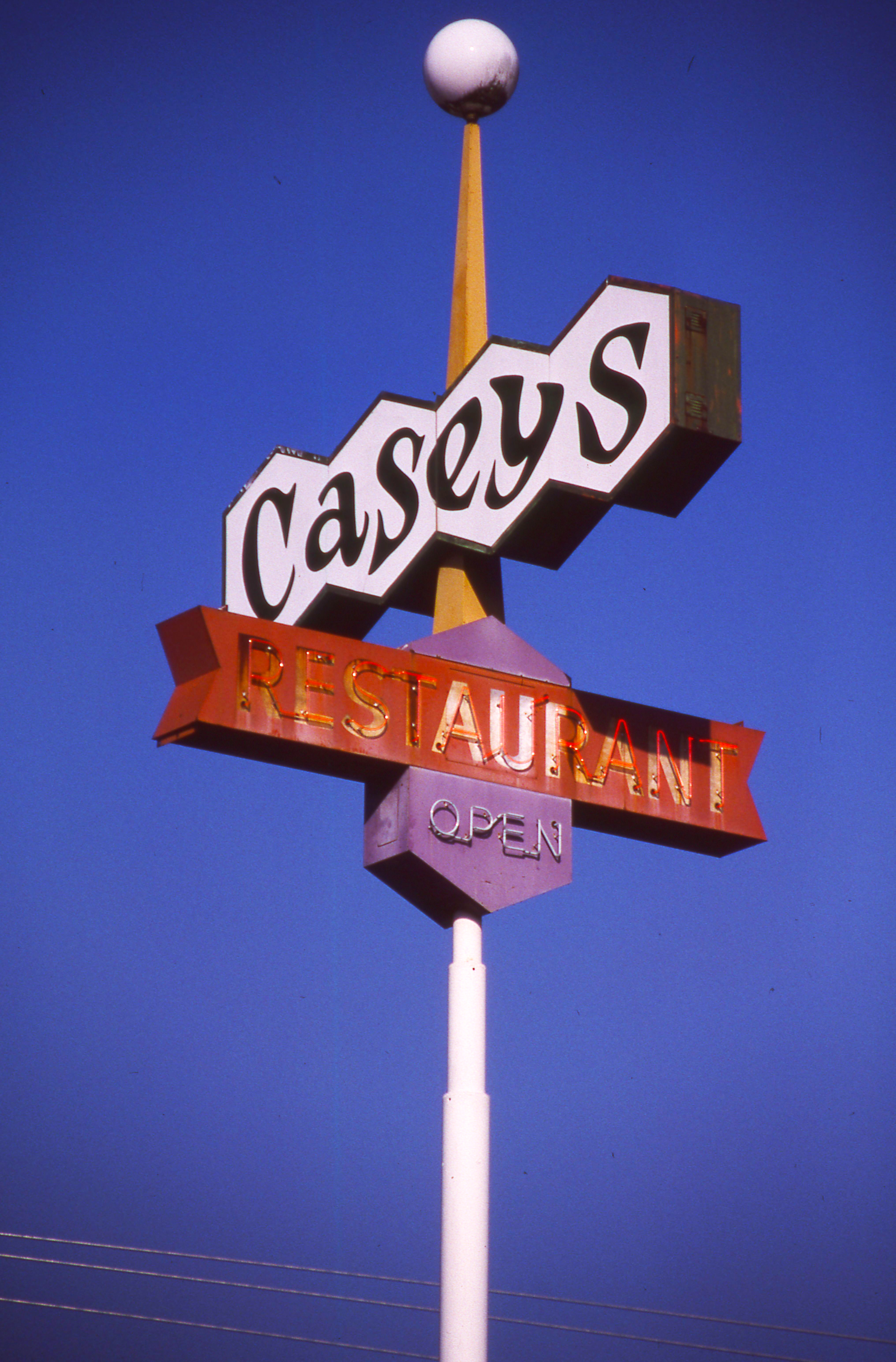
Day 245/365 - Casey's Restaurant
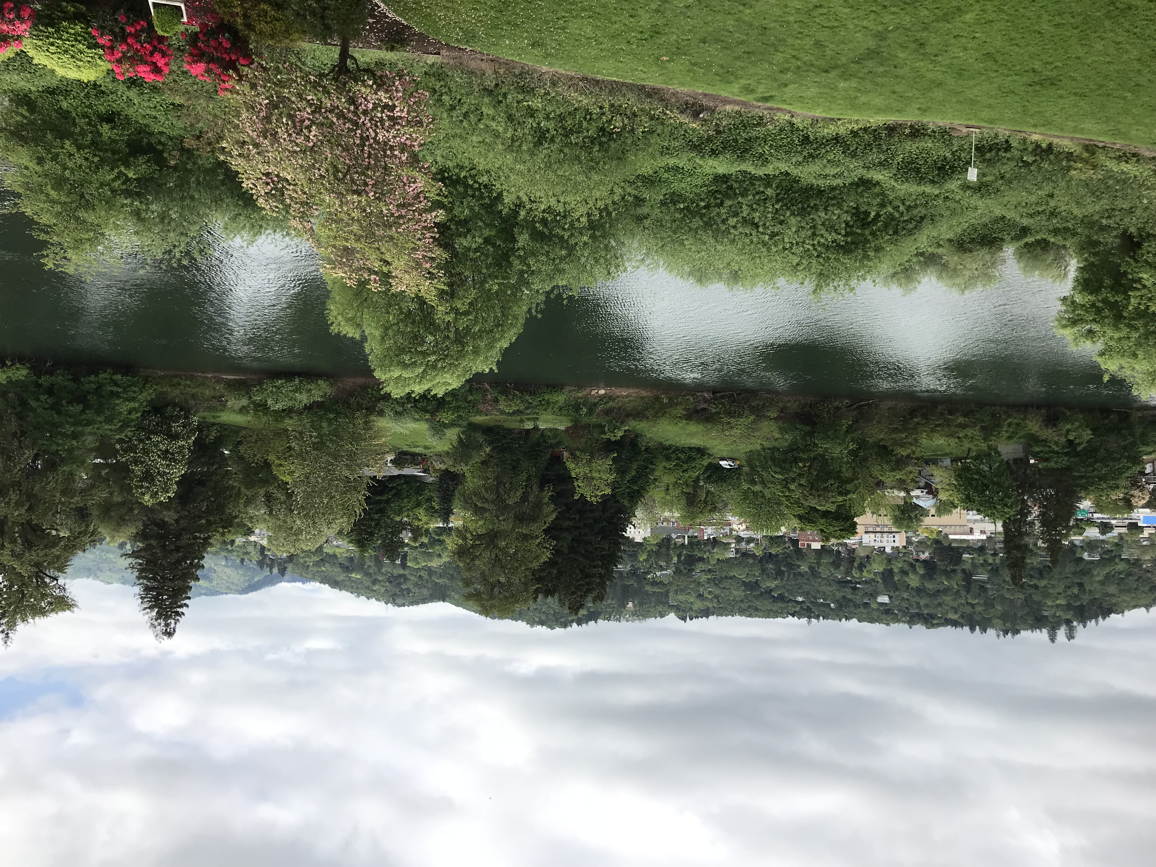
95. View from our balcony in Roseburg, OR.

Up, Close & Personal
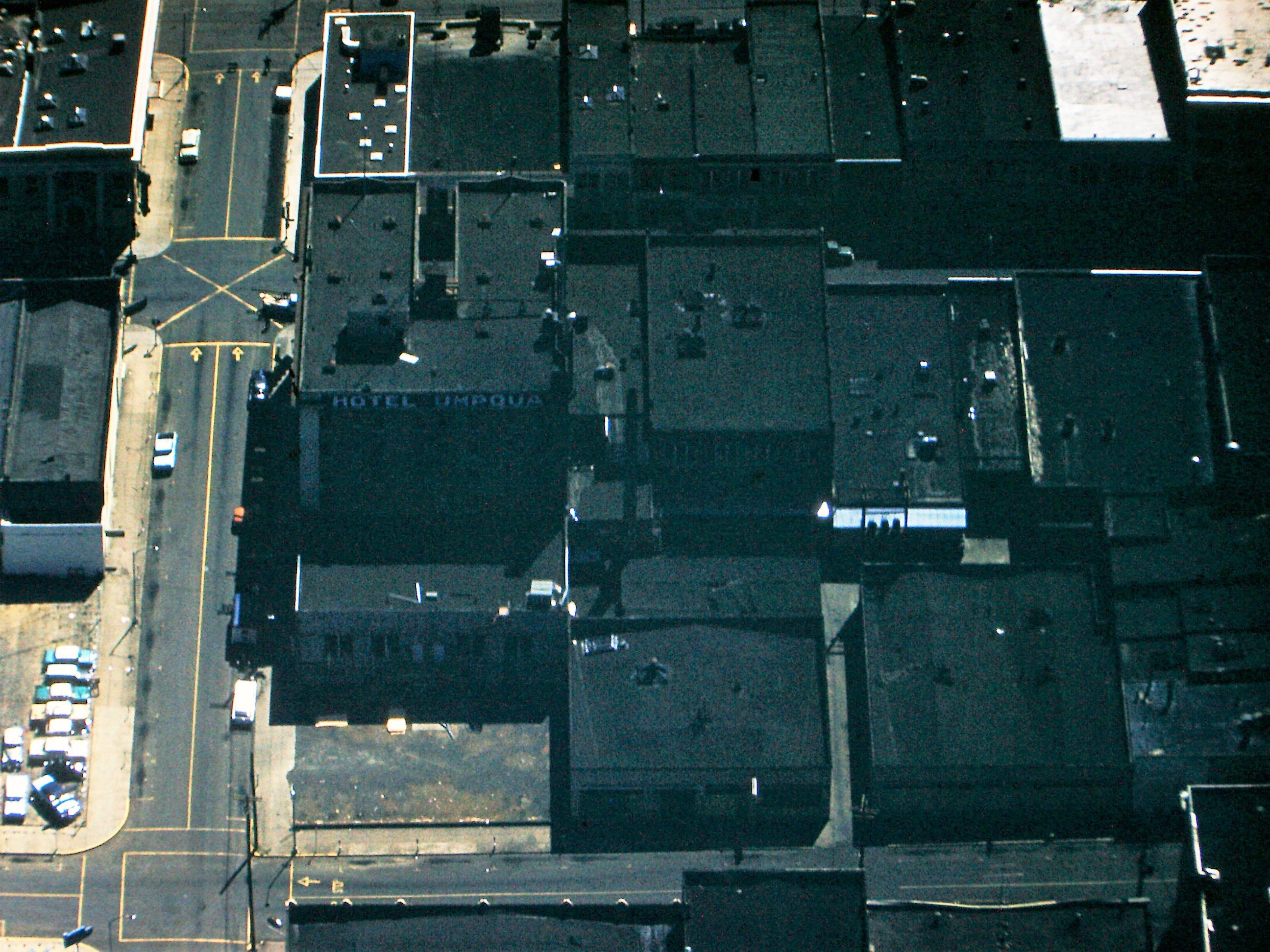
Downtown Roseburg View with the Umpqua Hotel, 1959. (see description)

Remember...Forever

Eclectic 007

This Photo is a Lemon c

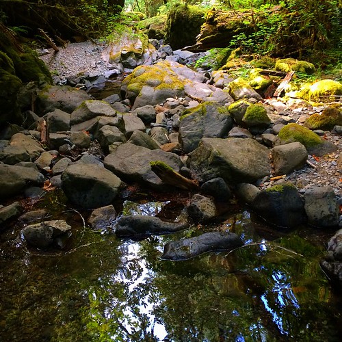
Eastwood Nature Trail 011

ps shot setup 1

ps shot setup 2

Stewart Park Wildlife Pond 033

Eastwood Nature Trail 010

View from the Loo

Sunroof View

Krohn Lane Home

Roseburg Visitor’s Center 008
Krohn Lane Home
Krohn Lane home

Booo to you. And to your wife.

East African Crowned Crane
Convicted: Chapter 3
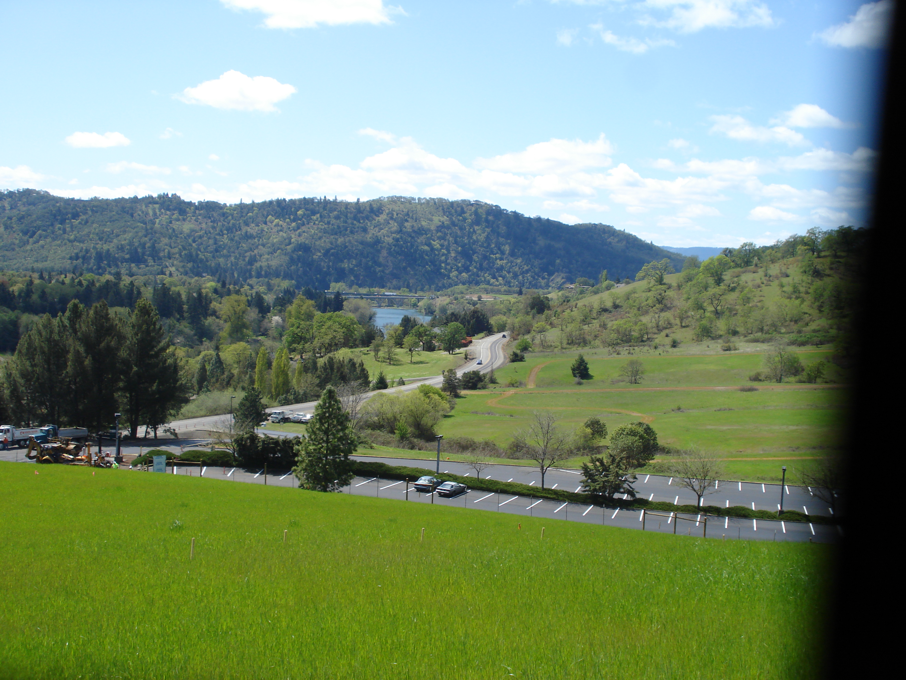
LAKE ROSEBURG OREGON
Abacela II

Fresh snow on the Oregon White Oak, with Black Tail Deer

Abacela I
Abacela III

30317823.IM002497

Giraffe at Wildlife Safari
Edge of forest

photo 2-002
Reflecting pool

Even doggies like flare ☀

Oregon White Oak

Corn maze, with fog.

Detour around "the blast" 1959(read description)

early teen angst at the Kenai

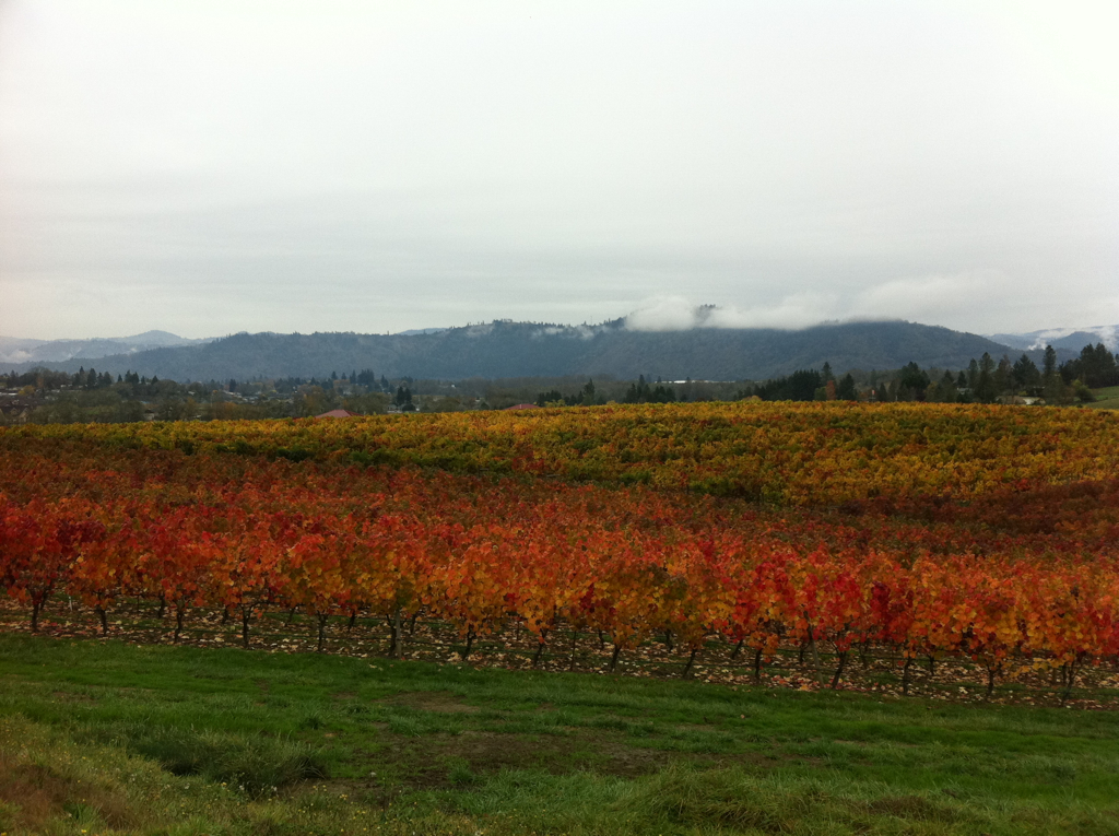
Spring Row

"The blast" Ground Zero, Roseburg, Oregon 1959 (read description)
easter 2009 101
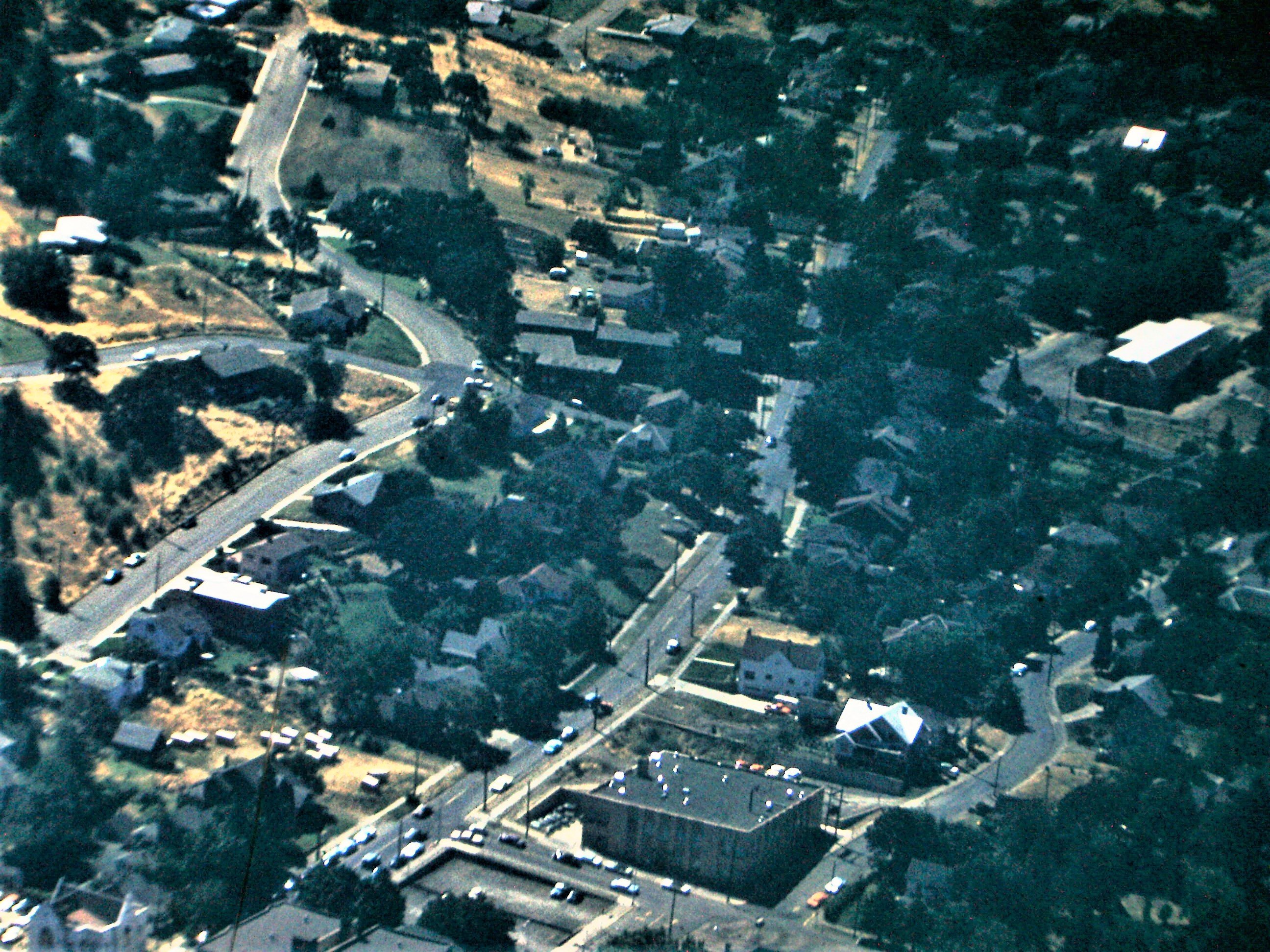
The south end of downtown Roseburg, Oregon 1959 see descriptions
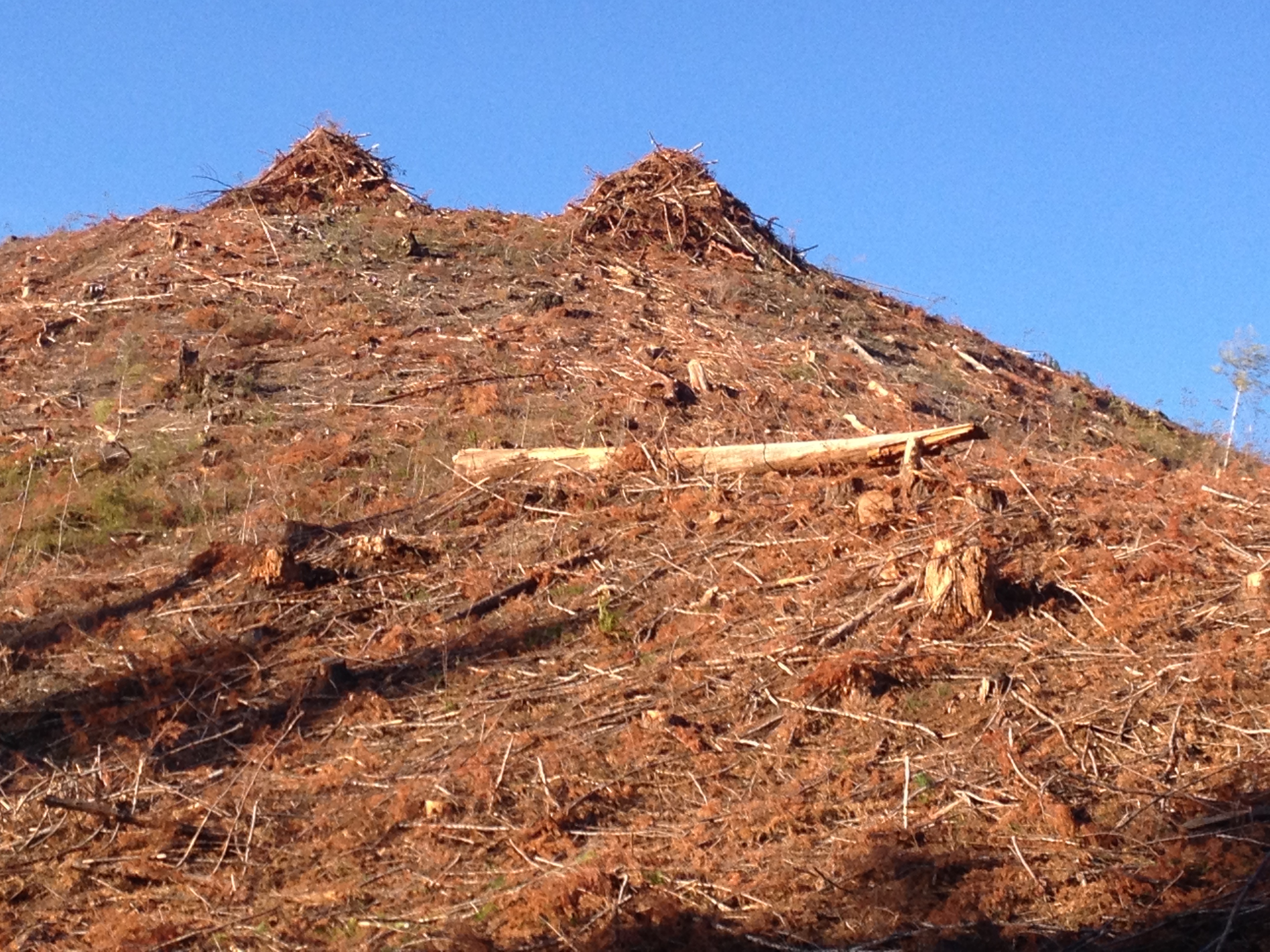
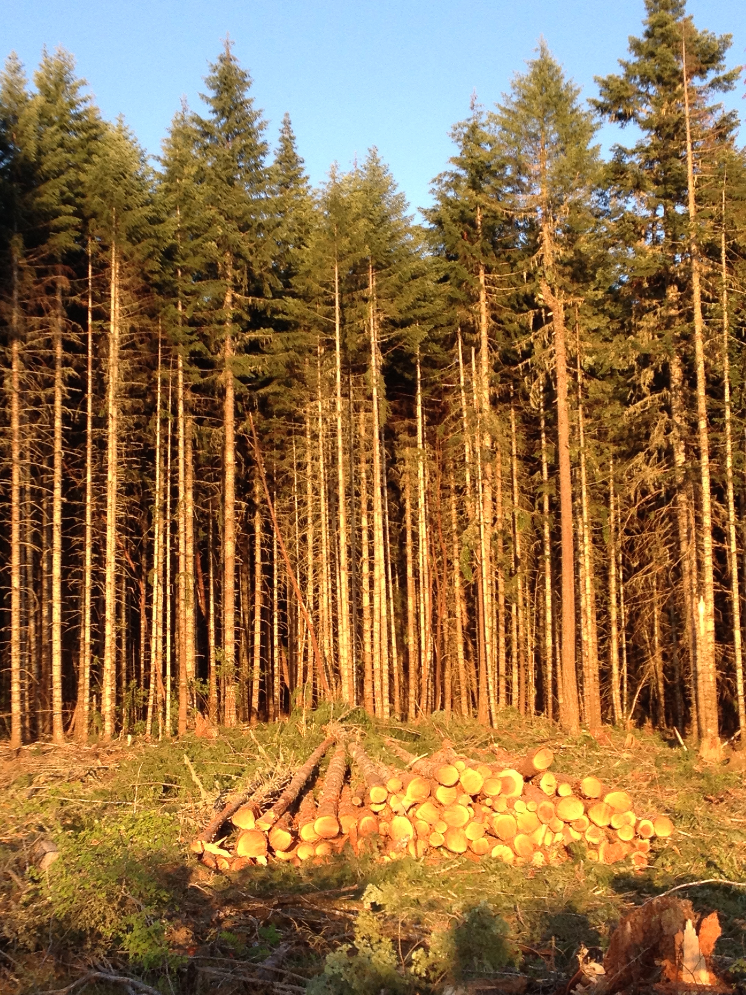
clearcut slash
Topographic Map of Jewel Dr, Roseburg, OR, USA
Find elevation by address:

Places near Jewel Dr, Roseburg, OR, USA:
Winston
1824 Coos Bay Wagon Rd
281 5th St
8791 Old Hwy 99 S
192 Reston Ave
134 Reston Ave
Old Hwy 99 S, Winston, OR, USA
499 Twin Oaks Ln
861 Tenmile Valley Rd
Coos Bay Wagon Road
9392 Or-42
Tenmile
6987 Coos Bay Wagon Rd
7000 Coos Bay Wagon Rd
7100 Coos Bay Wagon Rd
400 Mt Gurney Ln
605 Mt Gurney Ln
8637 Coos Bay Wagon Rd
Reston
10436 Coos Bay Wagon Rd
Recent Searches:
- Elevation of Fern Rd, Whitmore, CA, USA
- Elevation of 62 Abbey St, Marshfield, MA, USA
- Elevation of Fernwood, Bradenton, FL, USA
- Elevation of Felindre, Swansea SA5 7LU, UK
- Elevation of Leyte Industrial Development Estate, Isabel, Leyte, Philippines
- Elevation of W Granada St, Tampa, FL, USA
- Elevation of Pykes Down, Ivybridge PL21 0BY, UK
- Elevation of Jalan Senandin, Lutong, Miri, Sarawak, Malaysia
- Elevation of Bilohirs'k
- Elevation of 30 Oak Lawn Dr, Barkhamsted, CT, USA