Elevation of Constableville, NY, USA
Location: United States > New York > Lewis County > West Turin >
Longitude: -75.428510
Latitude: 43.566736
Elevation: 385m / 1263feet
Barometric Pressure: 97KPa
Elevation Map:
Satellite Map:
Related Photos:
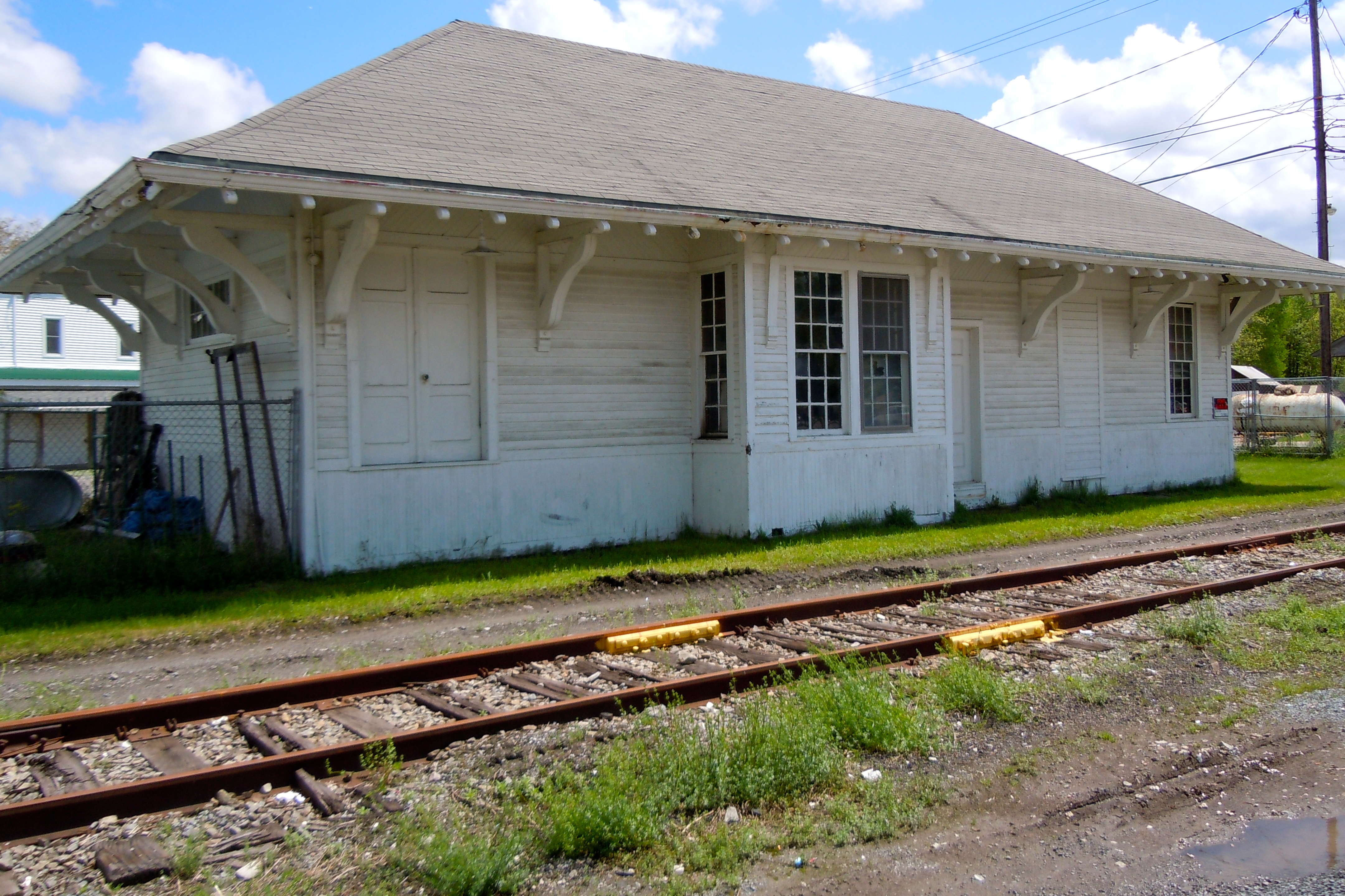
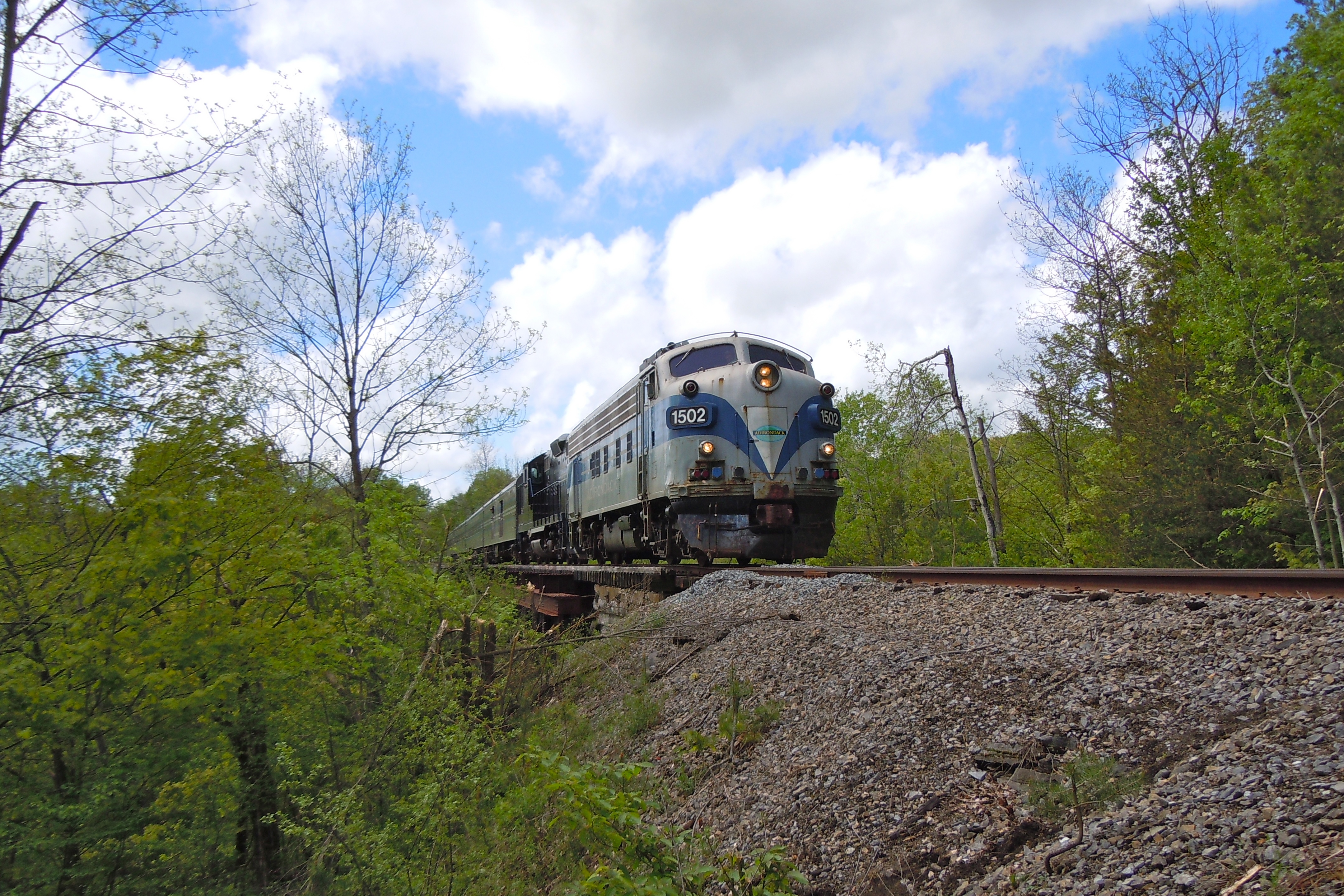
Lyons Falls Station
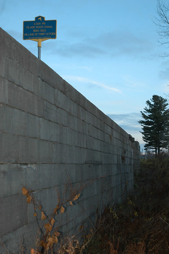
Inside Lock 96
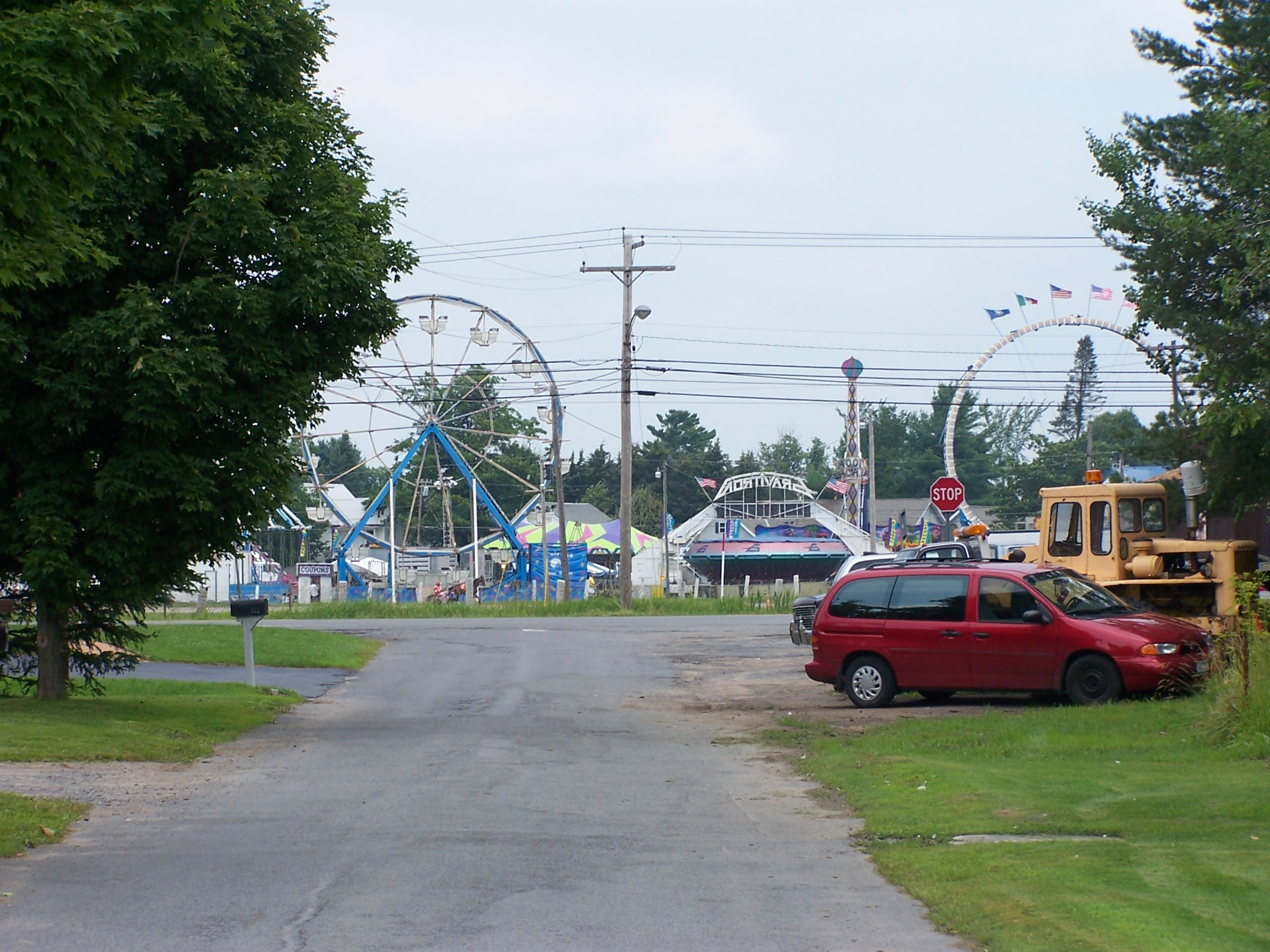
From My Street

Aerial View of the Farm
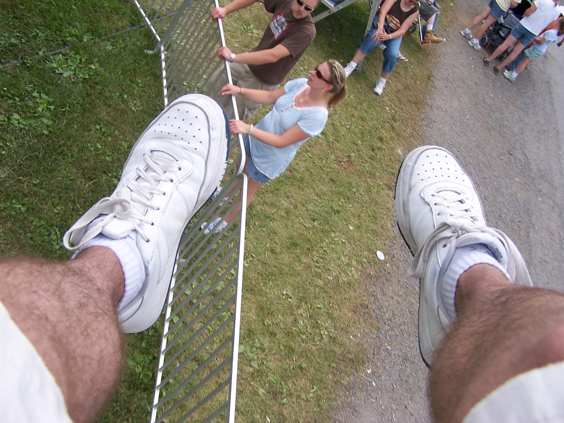
View from the Yo-Yo

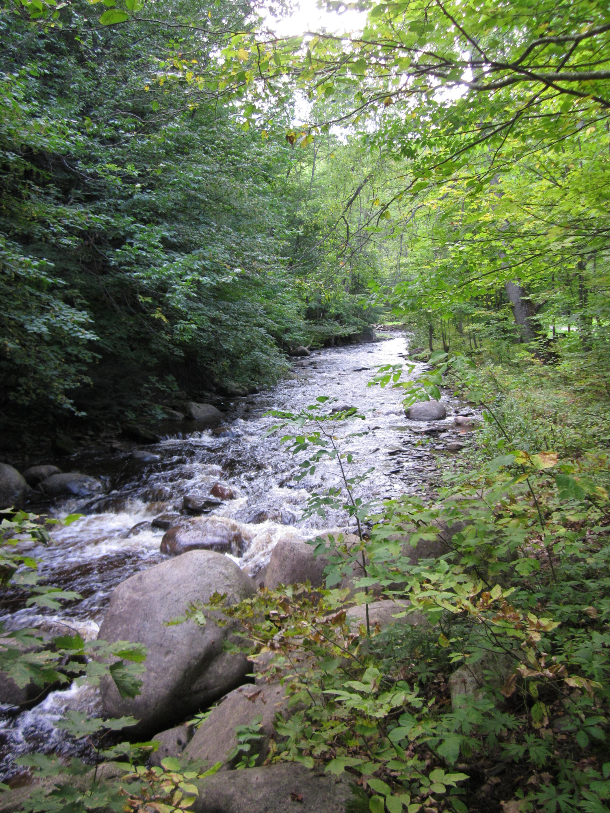
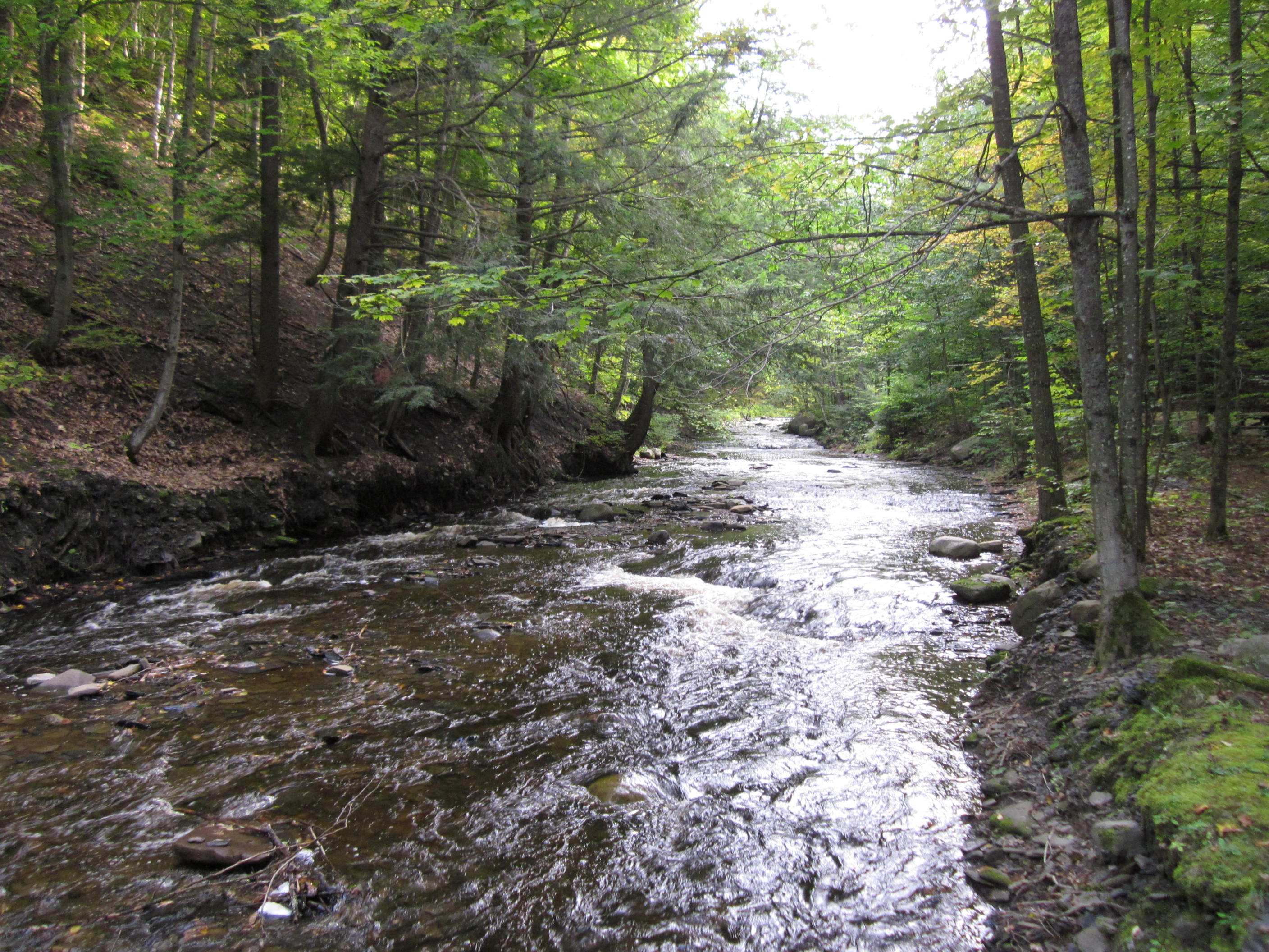
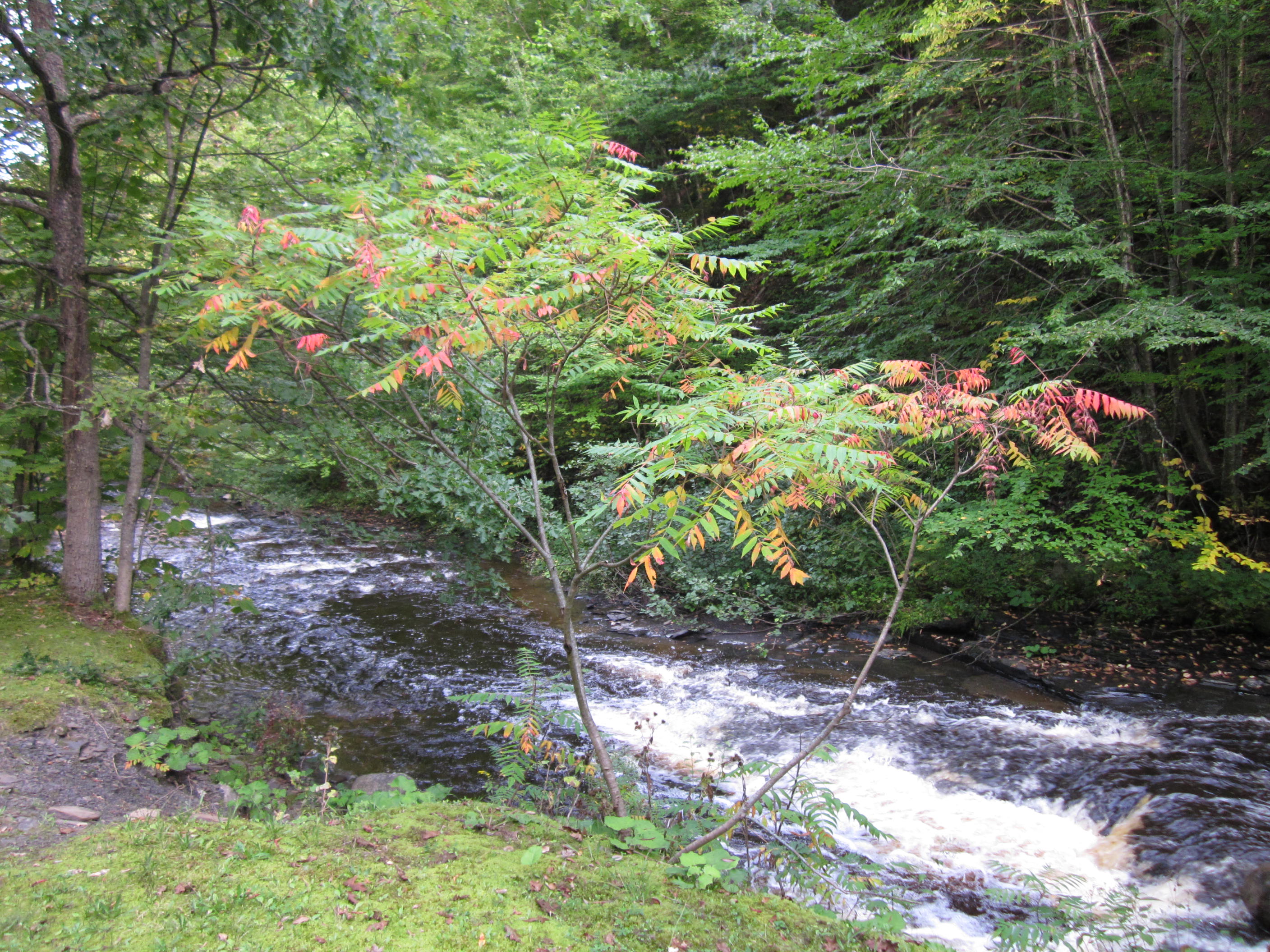
West Leyden, New York #tughill #upstatenewyork #newyork #ny #creek #waterfront #waterscapes #waterfall #adirondack #gonefishing #iphone5
AFTER GLOW
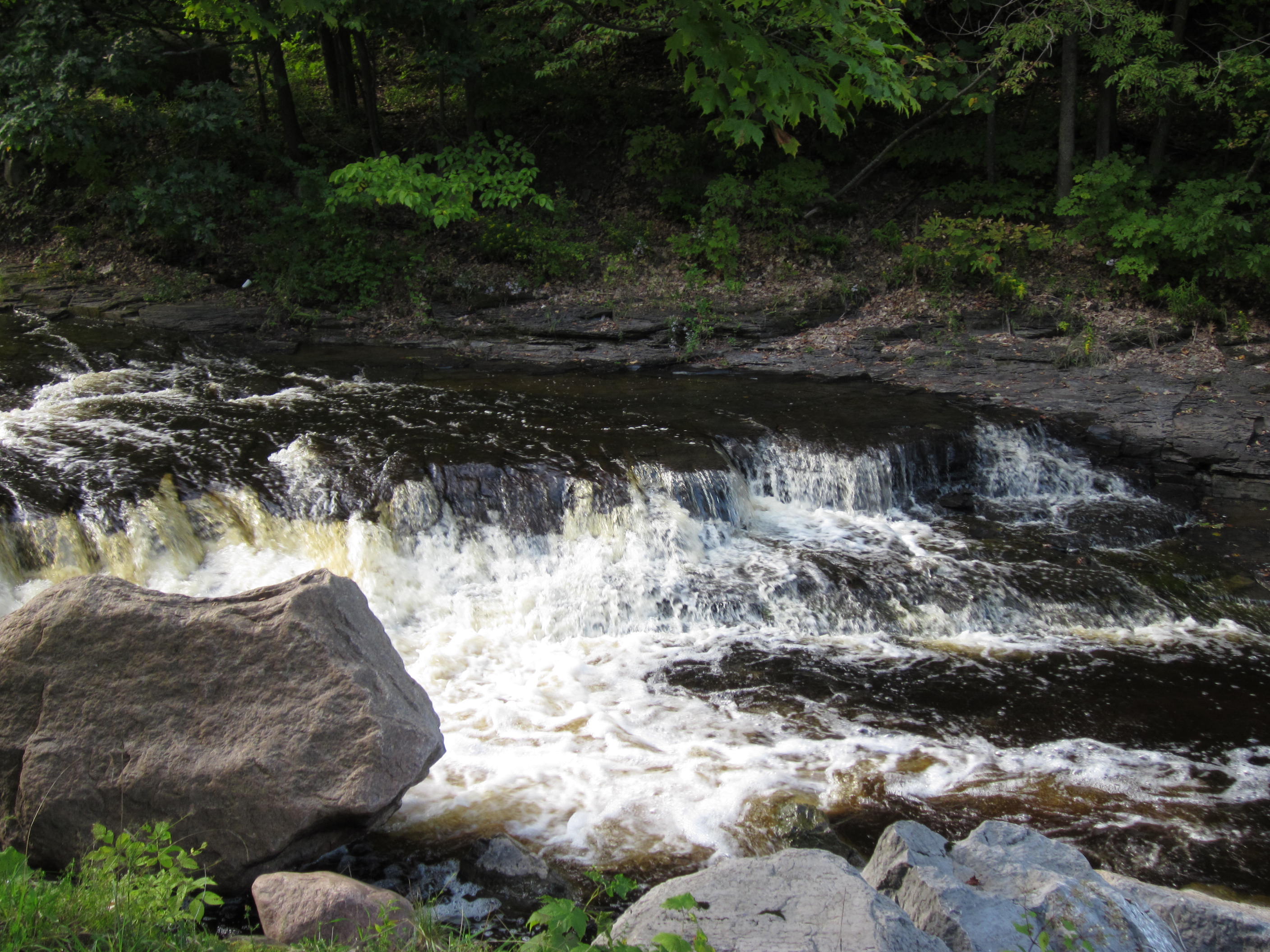
Whetstone Gulf State Park - New York
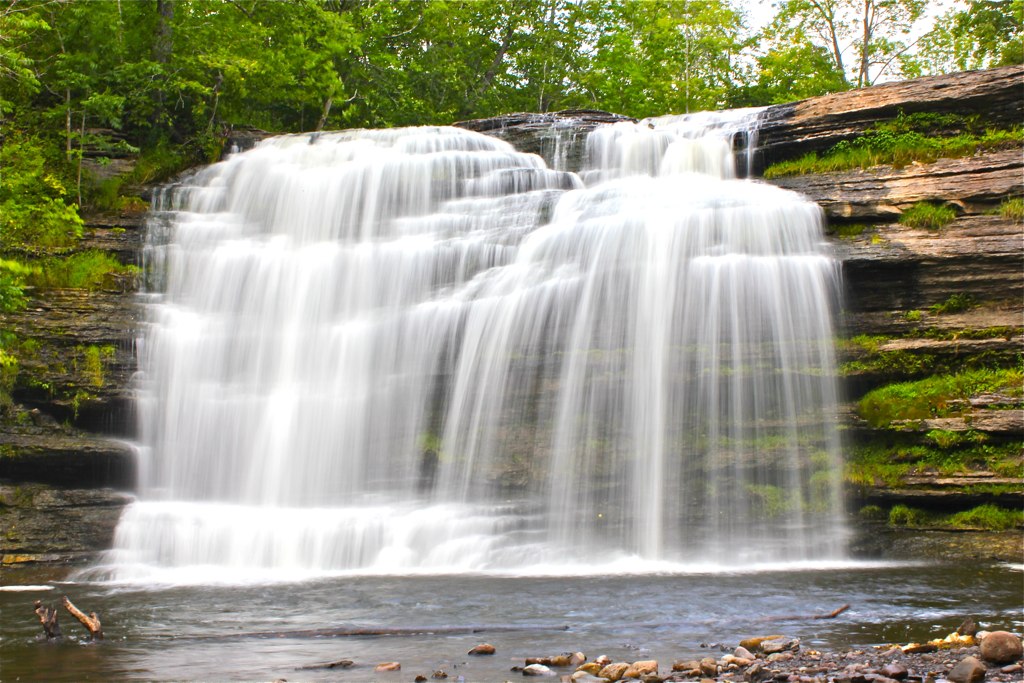
Pixley Falls State Park
Whetstone Gulf State Park - New York
Sugar River Trestle
Whetstone Gulf State Park - New York
Whetstone Gulf State Park - New York
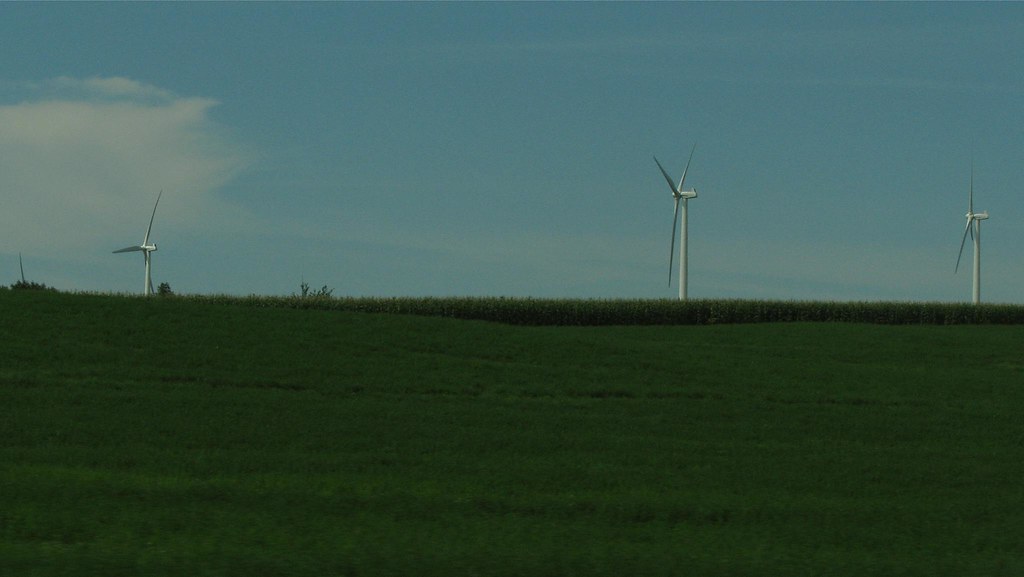
Wind turbines from Route 12
Whetstone Gulf State Park - New York
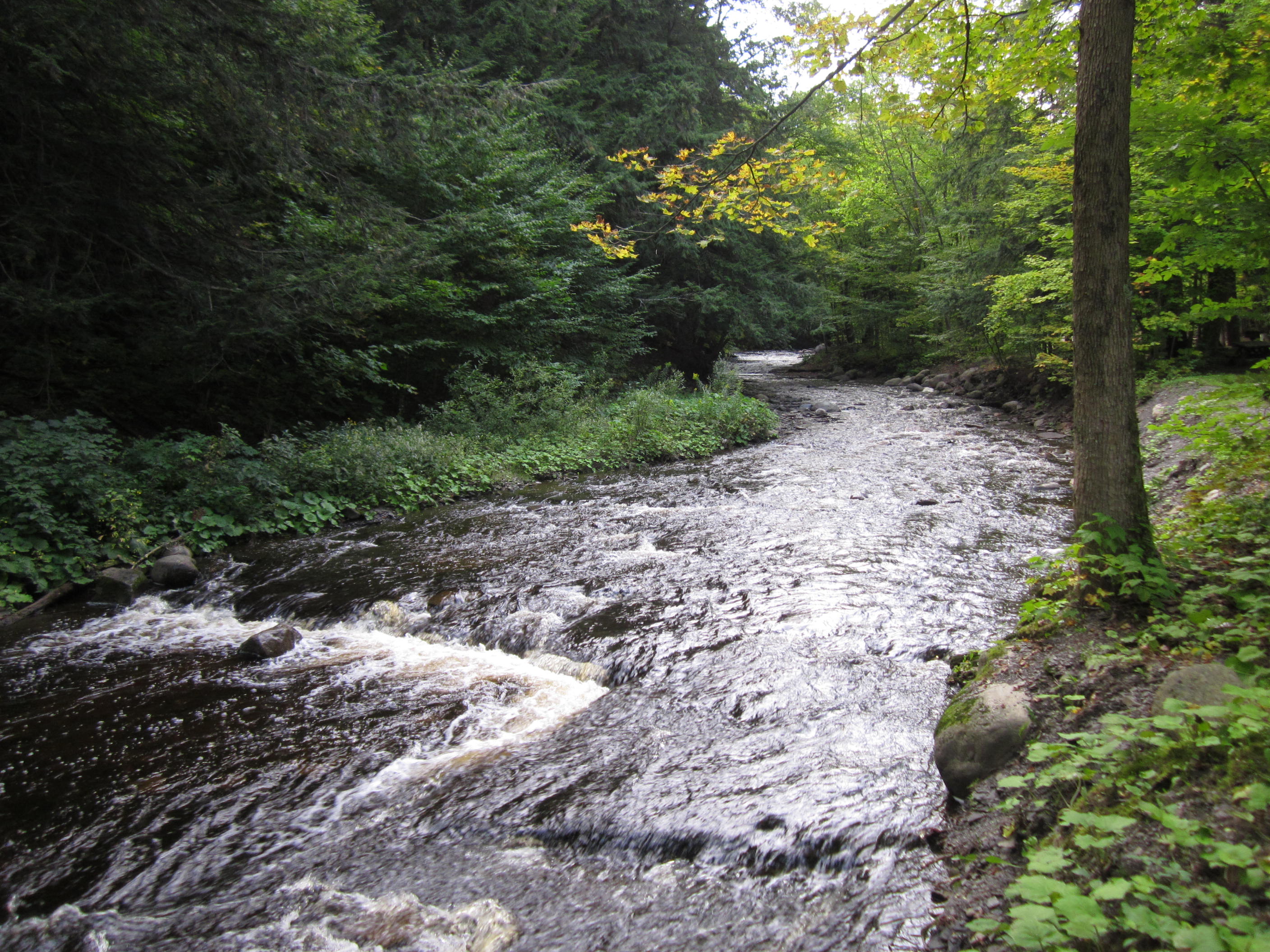
Whetstone Gulf State Park - New York
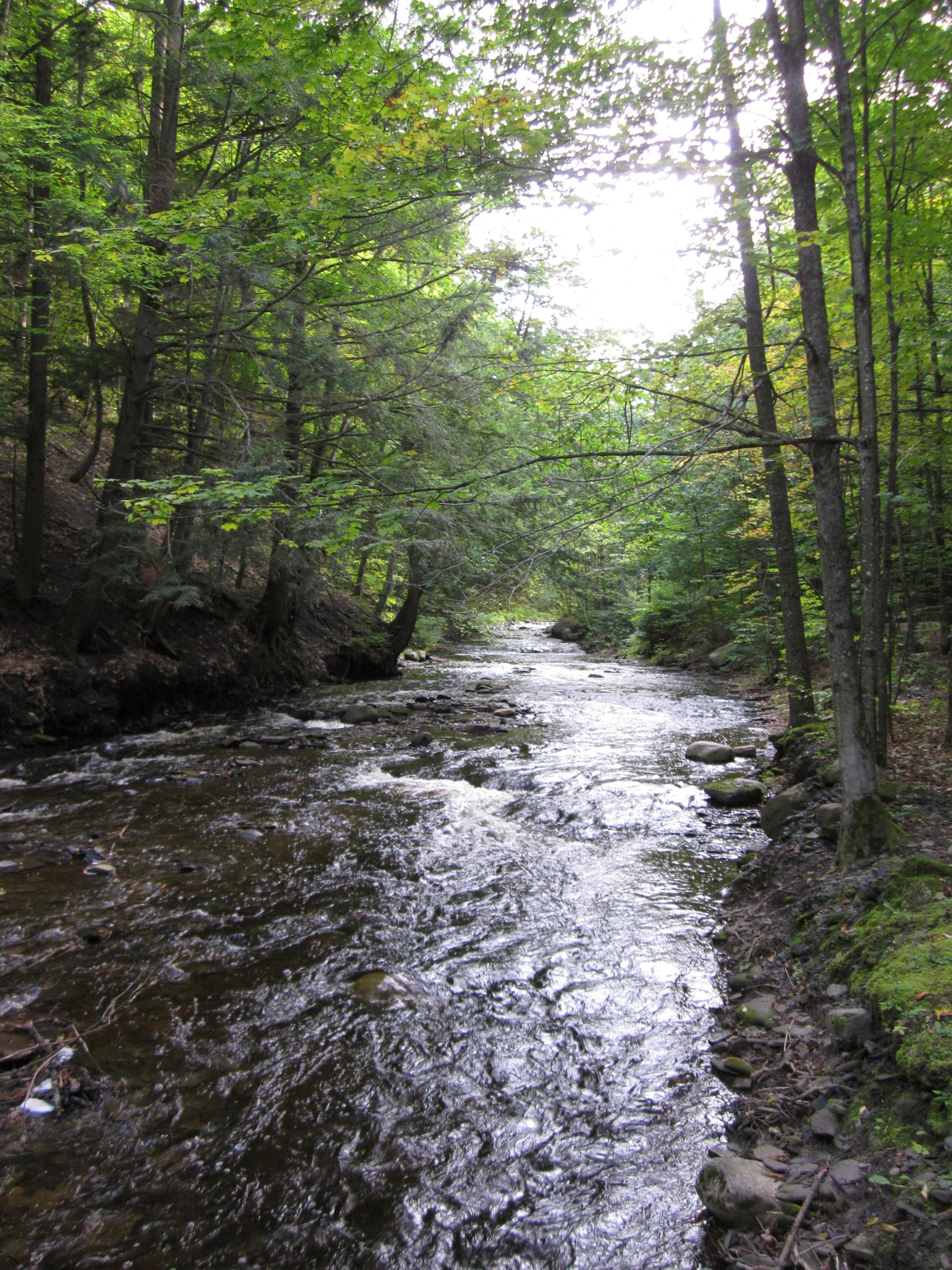
Whetstone Gulf State Park - New York
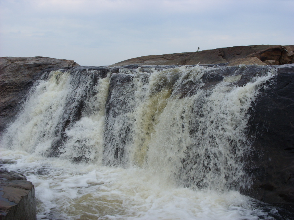
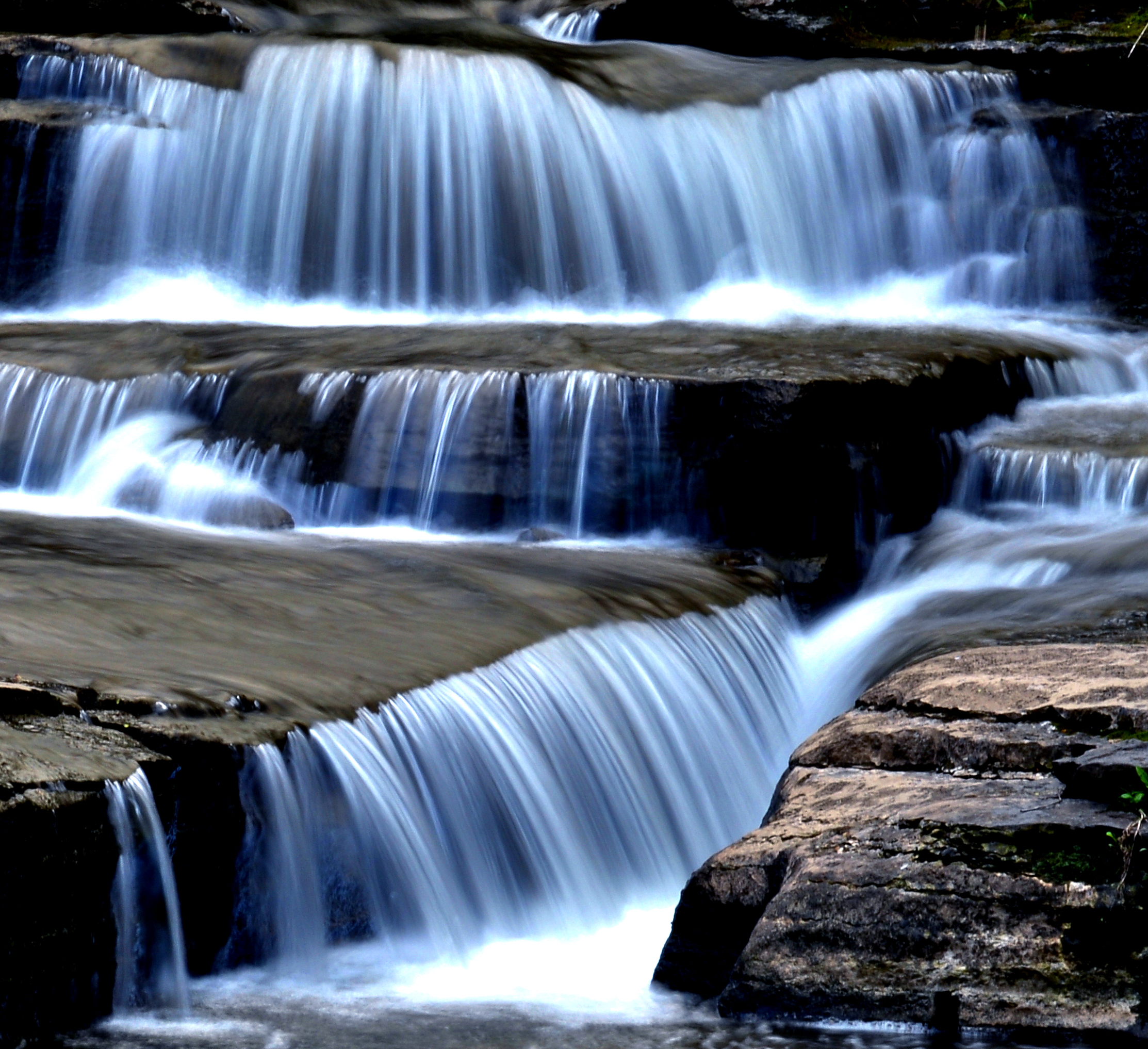
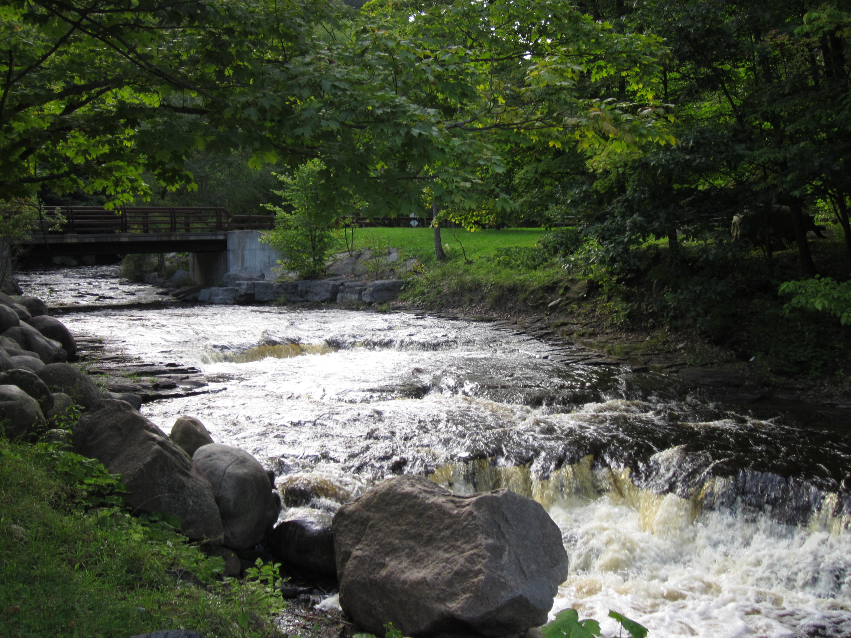
Agers Falls - Lyons Falls, New York
Topographic Map of Constableville, NY, USA
Find elevation by address:

Places near Constableville, NY, USA:
3133 W Rd
5454 Plumber Rd
West Turin
NY-12D, Boonville, NY, USA
Leyden
Port Leyden
7320 E Main St
NY-, Boonville, NY, USA
West Leyden
Boonville Fair Association
4589 Mud Lake Rd
4589 Mud Lake Rd
4589 Mud Lake Rd
Boonville
410 Post St
New York 12
611 Post St
103 Feeder St
103 Feeder St
3277 Hayes Rd W
Recent Searches:
- Elevation of Tenjo, Cundinamarca, Colombia
- Elevation of Côte-des-Neiges, Montreal, QC H4A 3J6, Canada
- Elevation of Bobcat Dr, Helena, MT, USA
- Elevation of Zu den Ihlowbergen, Althüttendorf, Germany
- Elevation of Badaber, Peshawar, Khyber Pakhtunkhwa, Pakistan
- Elevation of SE Heron Loop, Lincoln City, OR, USA
- Elevation of Slanický ostrov, 01 Námestovo, Slovakia
- Elevation of Spaceport America, Co Rd A, Truth or Consequences, NM, USA
- Elevation of Warwick, RI, USA
- Elevation of Fern Rd, Whitmore, CA, USA