Elevation of Port Leyden, NY, USA
Location: United States > New York > Lewis County >
Longitude: -75.345175
Latitude: 43.5831247
Elevation: 272m / 892feet
Barometric Pressure: 98KPa
Elevation Map:
Satellite Map:
Related Photos:
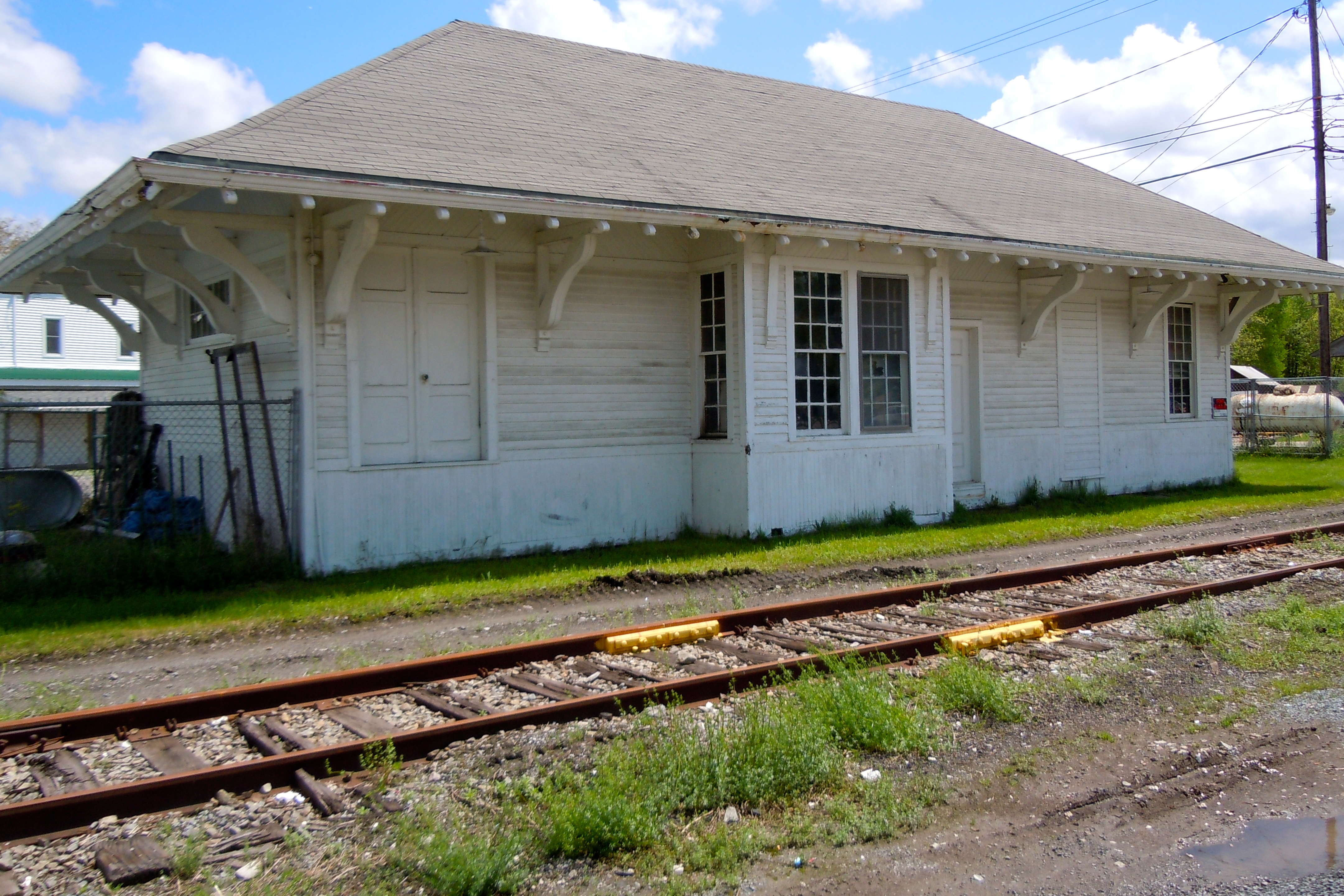
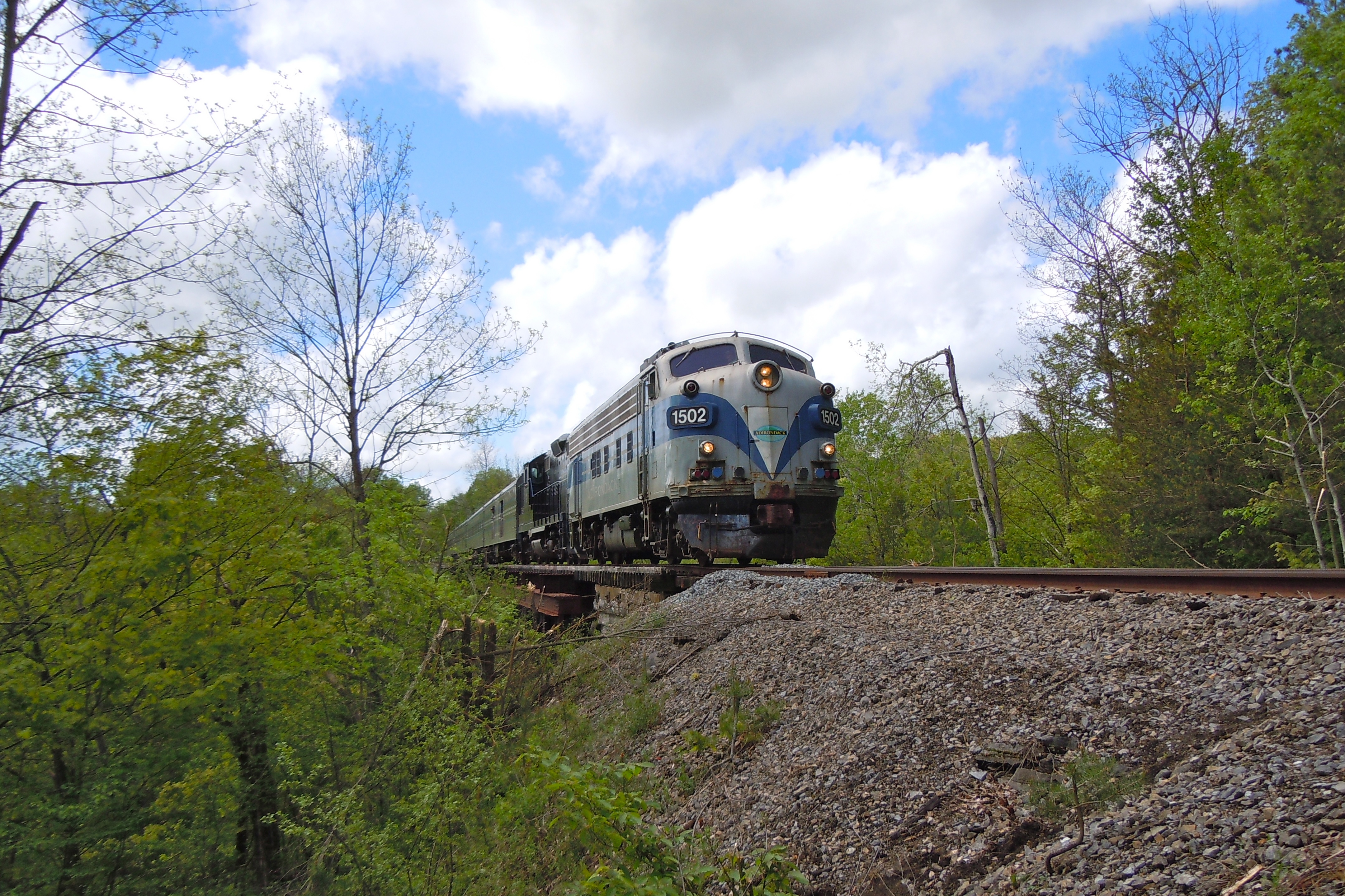
Lyons Falls Station
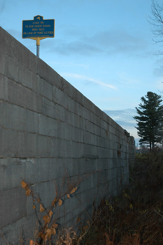
Inside Lock 96
From My Street

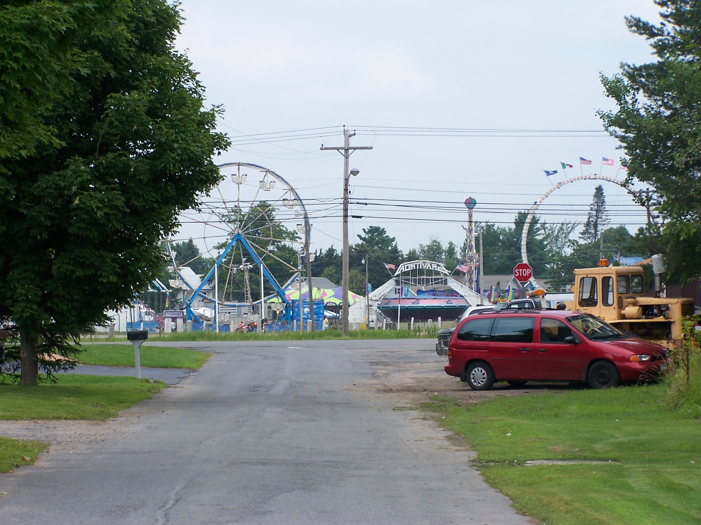
View from the Yo-Yo

Aerial View of the Farm
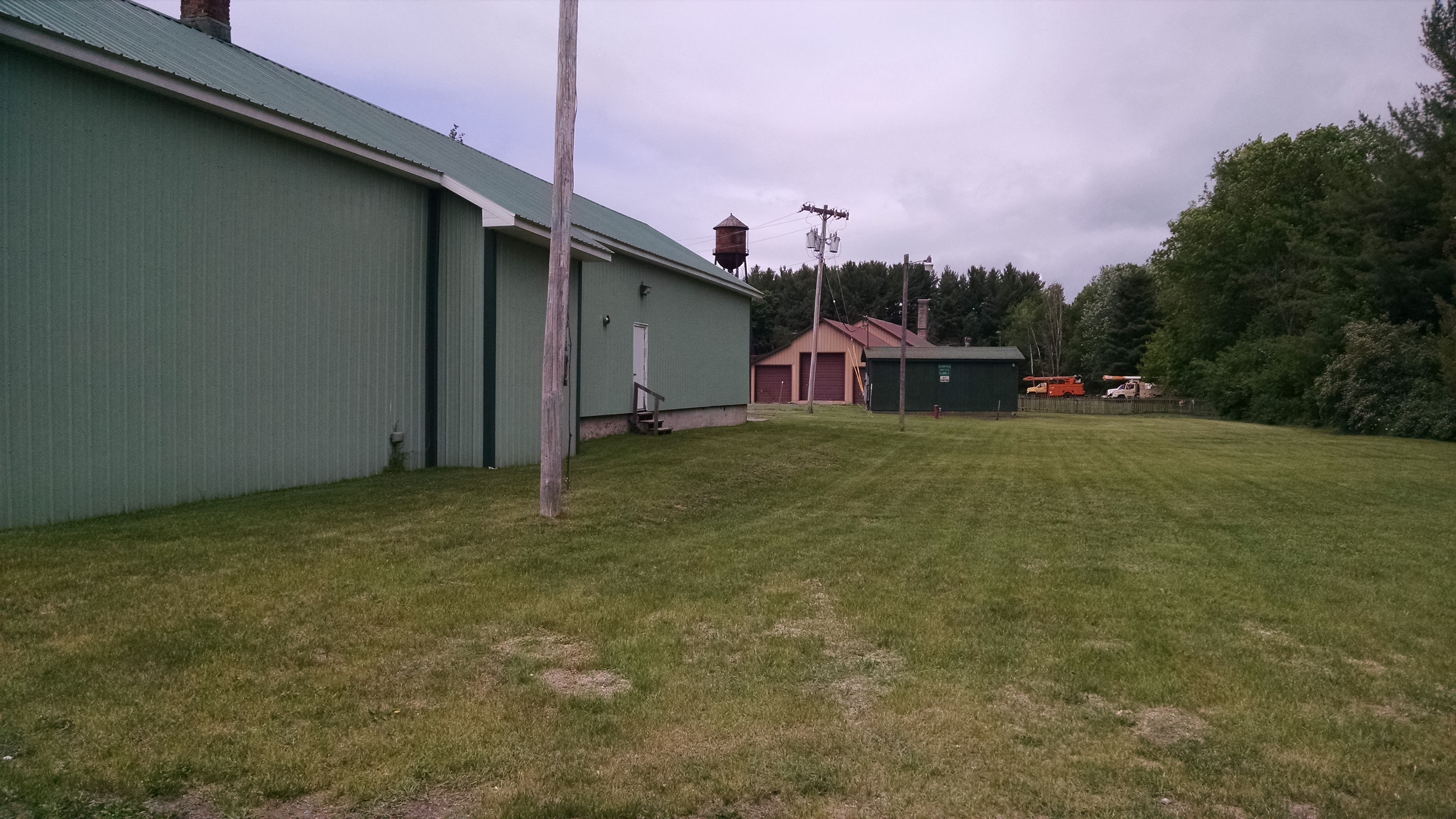
NYC (R, W & O) ROW, Glenfield, NY

AFTER GLOW
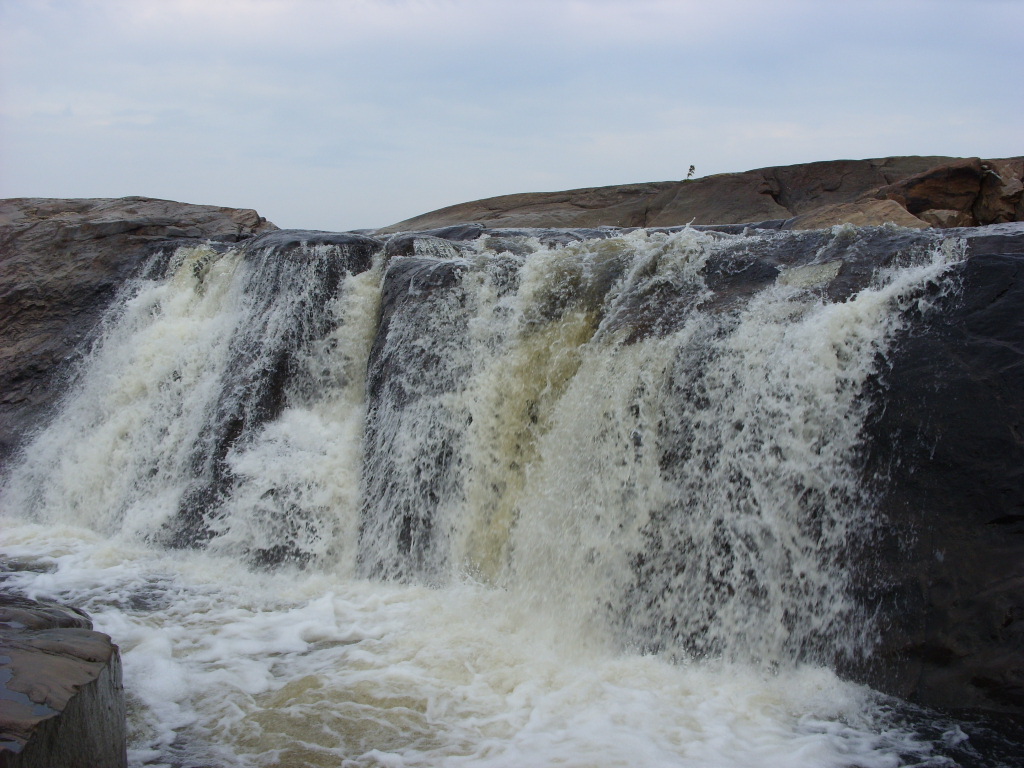
Pixley Falls State Park
Sugar River Trestle
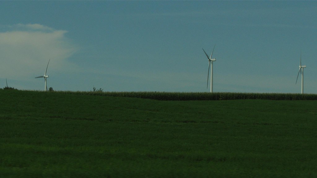
Wind turbines from Route 12

Sunrise, White Lake, Adirondacks
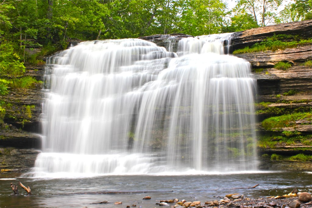
Agers Falls - Lyons Falls, New York
Topographic Map of Port Leyden, NY, USA
Find elevation by address:

Places near Port Leyden, NY, USA:
7320 E Main St
Leyden
NY-12D, Boonville, NY, USA
3133 W Rd
328 Riveredge Ln
Constableville
3277 Hayes Rd W
New York 12
Boonville
410 Post St
8068 Moose River Rd
103 Feeder St
103 Feeder St
Boonville Fair Association
Hayes Road
611 Post St
138 Woodgate Dr
109 Woodgate Dr
Village Of Boonville, Ny
2740 Lovers Ln
Recent Searches:
- Elevation of Jalan Senandin, Lutong, Miri, Sarawak, Malaysia
- Elevation of Bilohirs'k
- Elevation of 30 Oak Lawn Dr, Barkhamsted, CT, USA
- Elevation of Luther Road, Luther Rd, Auburn, CA, USA
- Elevation of Unnamed Road, Respublika Severnaya Osetiya — Alaniya, Russia
- Elevation of Verkhny Fiagdon, North Ossetia–Alania Republic, Russia
- Elevation of F. Viola Hiway, San Rafael, Bulacan, Philippines
- Elevation of Herbage Dr, Gulfport, MS, USA
- Elevation of Lilac Cir, Haldimand, ON N3W 2G9, Canada
- Elevation of Harrod Branch Road, Harrod Branch Rd, Kentucky, USA