Elevation of Confidence Ln, Middletown, VA, USA
Location: United States > Virginia > Frederick County > Back Creek > Middletown >
Longitude: -78.261581
Latitude: 39.029675
Elevation: 200m / 656feet
Barometric Pressure: 99KPa
Elevation Map:
Satellite Map:
Related Photos:

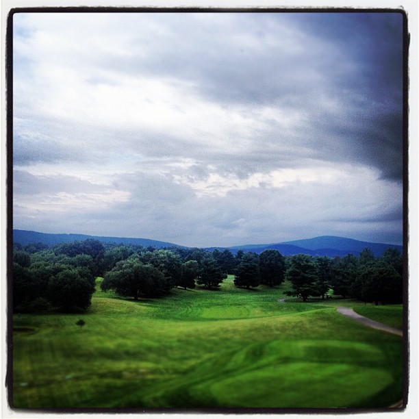
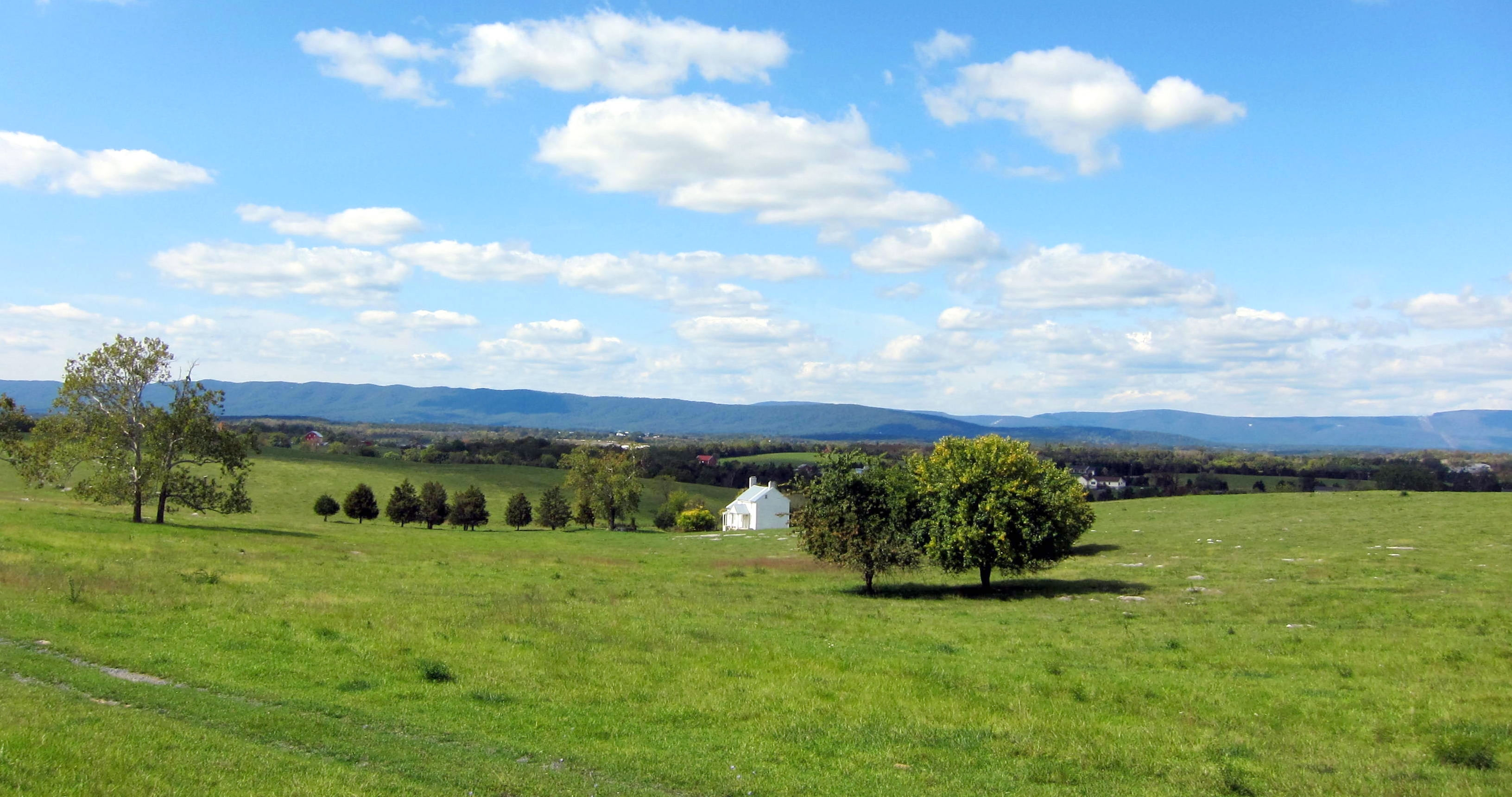
Monte Vista
Ross' Goose - Chen rossii
The Heater House

1,000,000
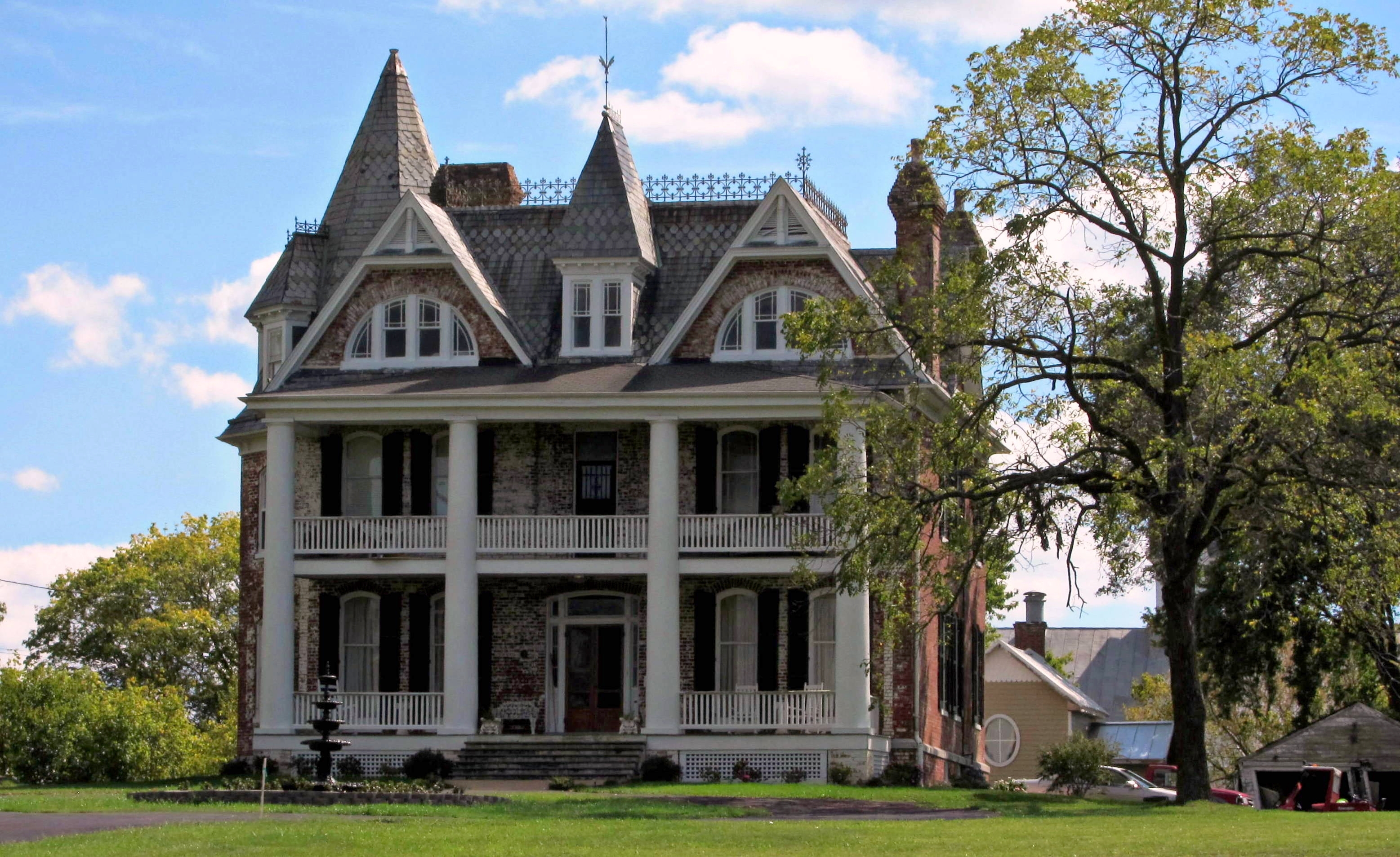
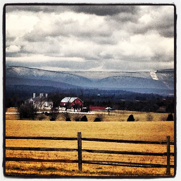
Belle Grove

Just Drifting By
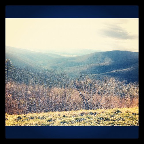
RIDGE LINES
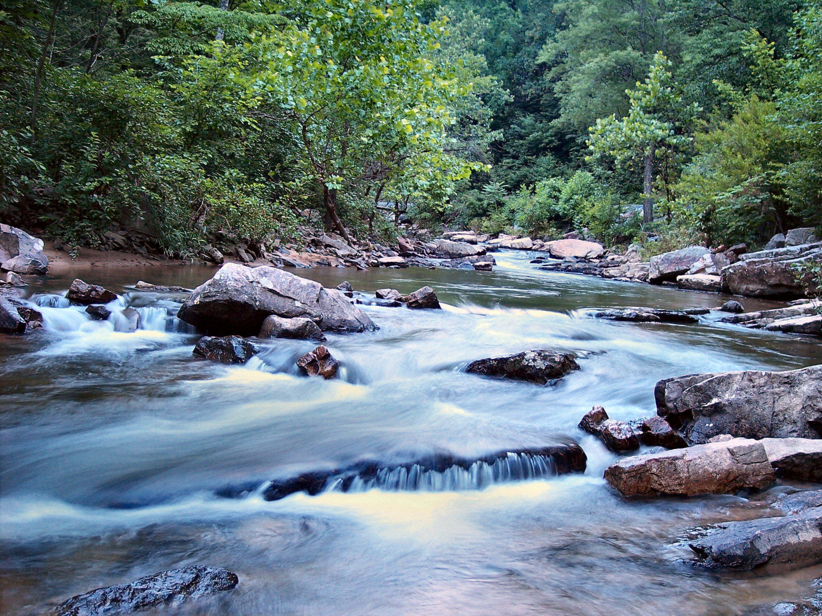
Passage Creek Up Stream
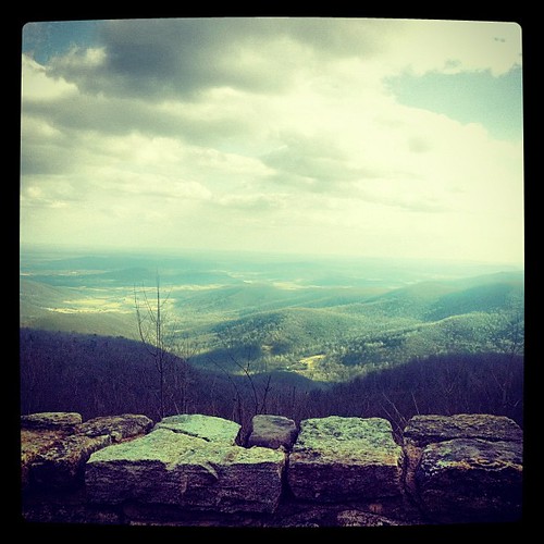
Monte Vista

Dinner with the fam & a beautiful view #sunset #nature #photography
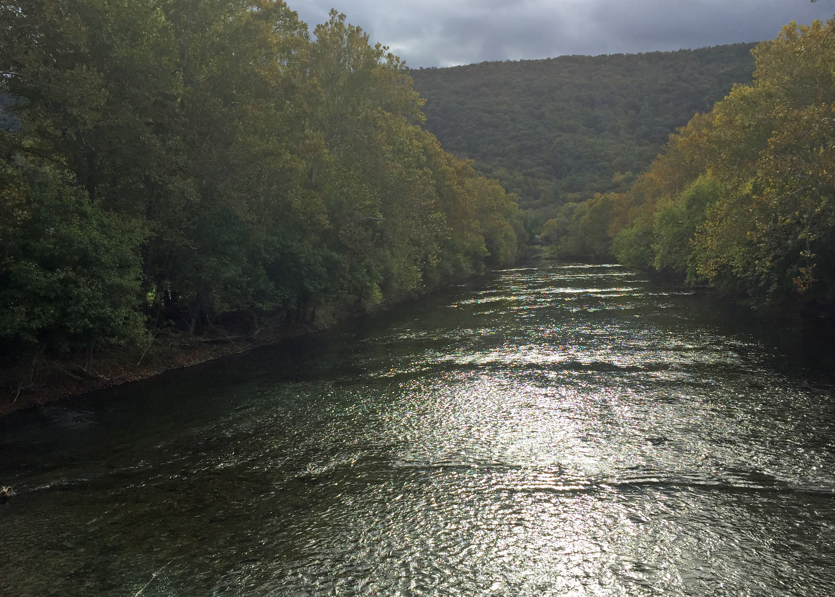
River View

Old Building Side
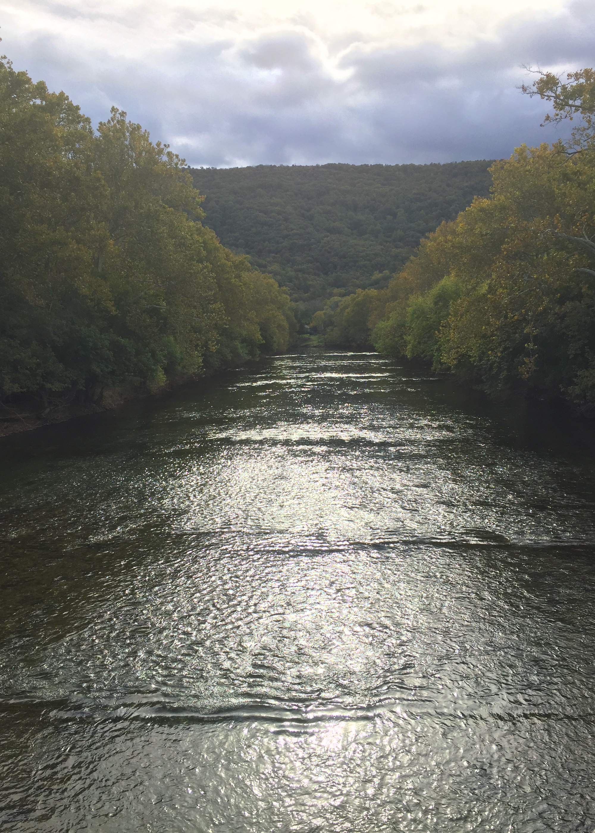
River View
Goonie Run Overlook, Shenandoah River Valley, VA
View from Belle Grove

Old Building Back
Epic Battle!
View from Skyline Drive at Shenandoah National Park

a view in my home town

Hotel Strasburg - Then and Now
Sunday Morning Coming Down (Front Royal)

cows! in middletown

Belle Grove Road
the sky above Belle Grove
Waiting patiently
Front Royal, Virginia

Haaaaay!
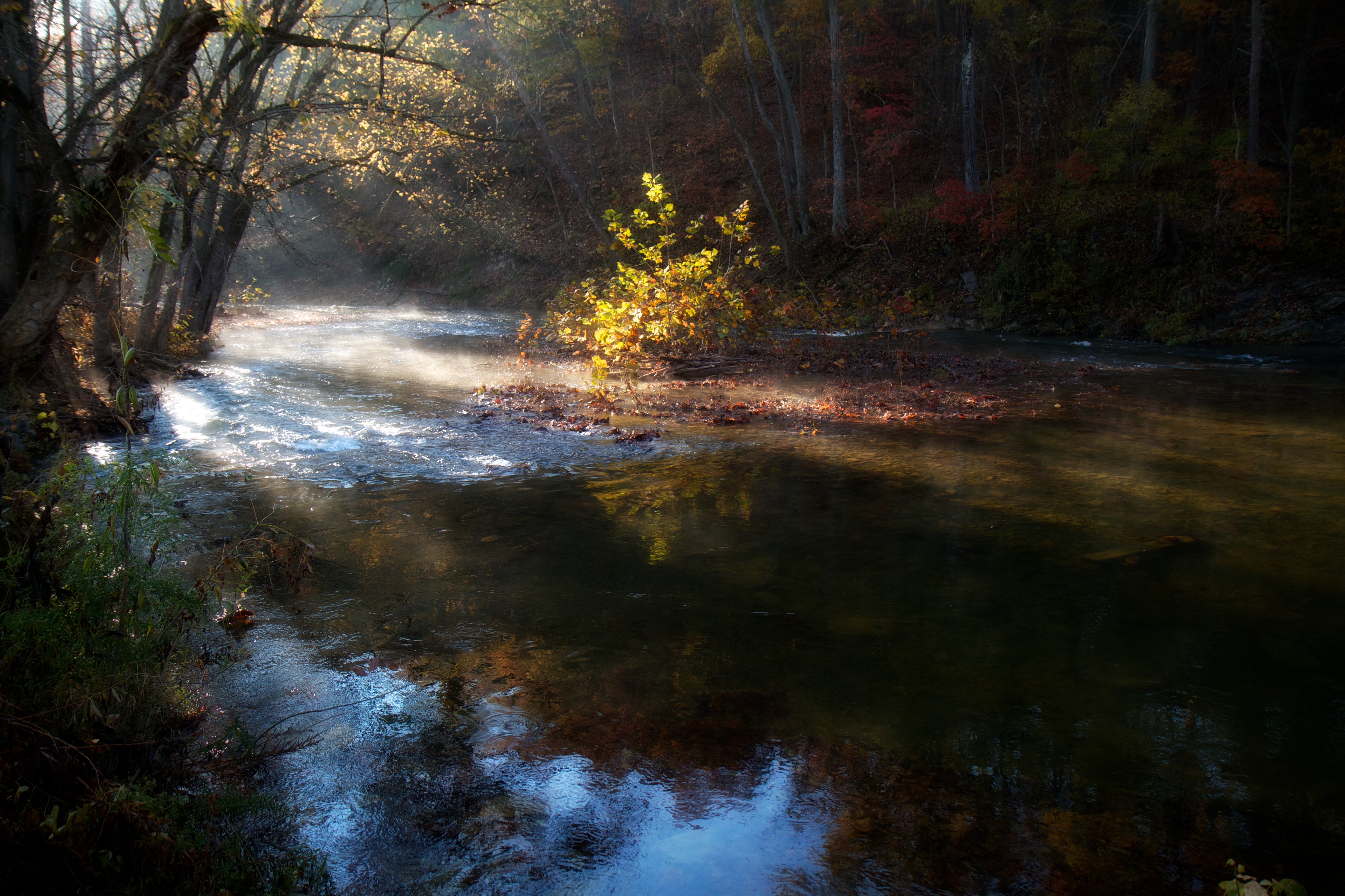
Morning Light on Cedar Creek
Gig with @InFullBand
Taking a ride before the game today

Shenandoah Valley from I-81
#nighttime #squigglywigglies
230.5

hay/hey
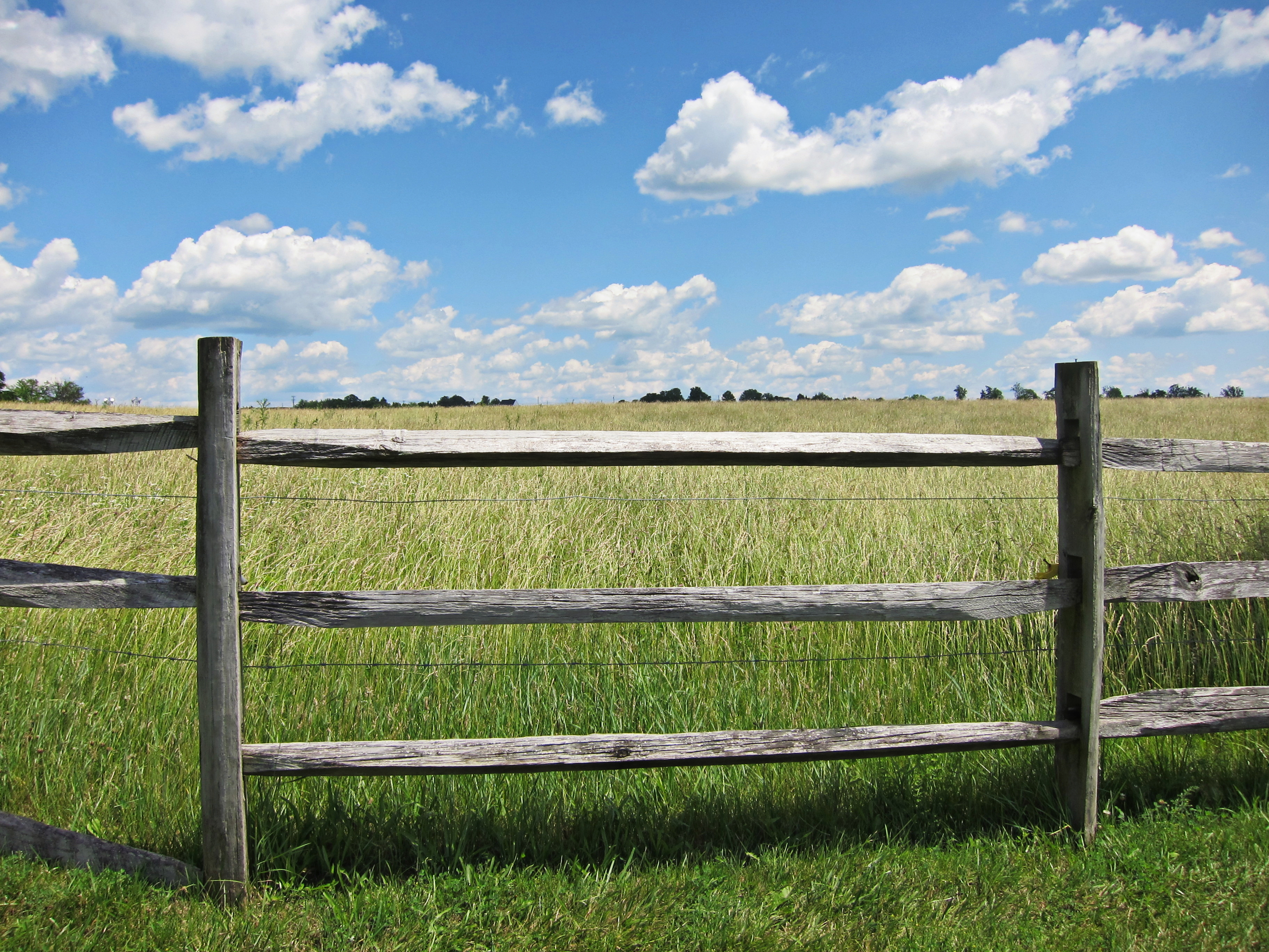
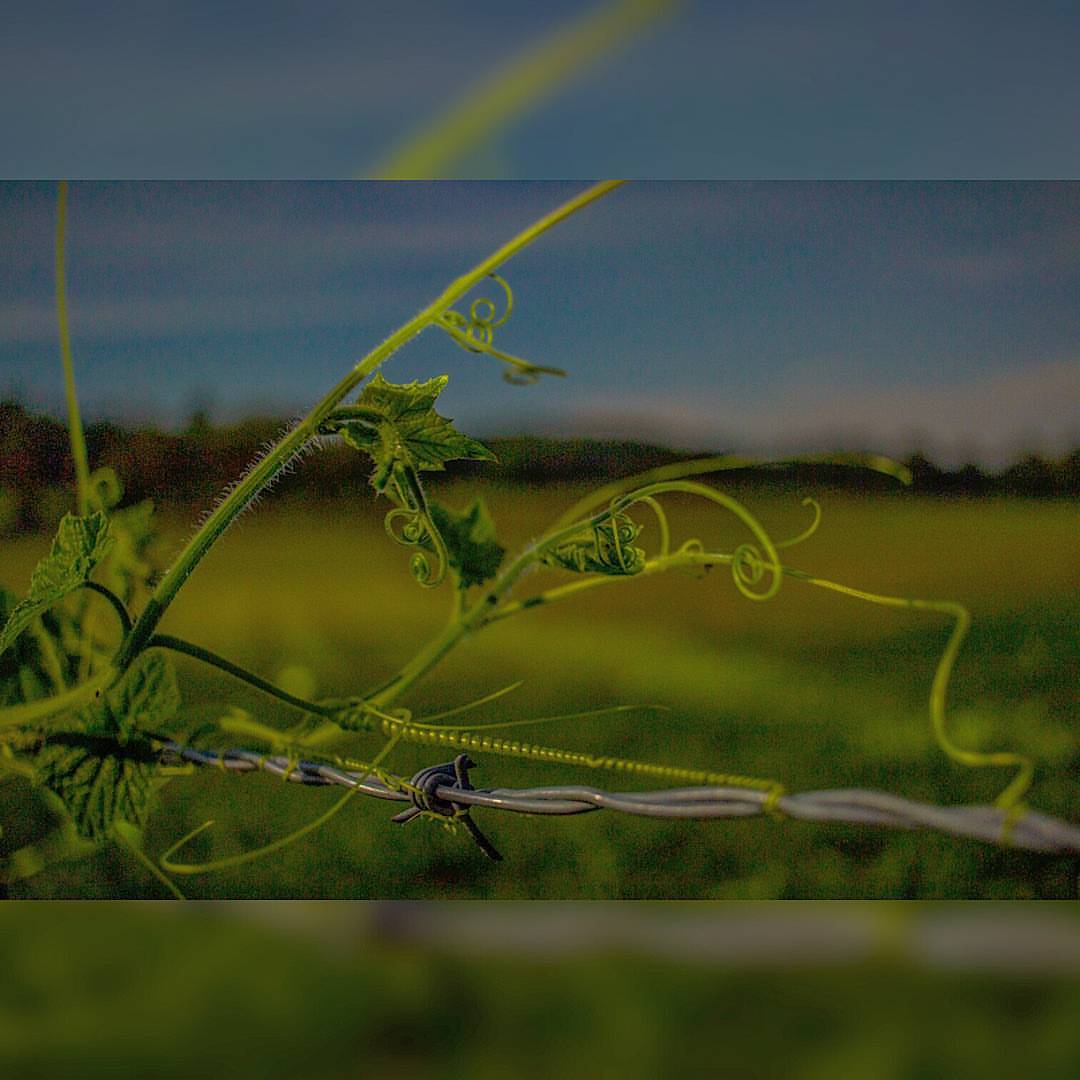
fenced in

Daucus carota
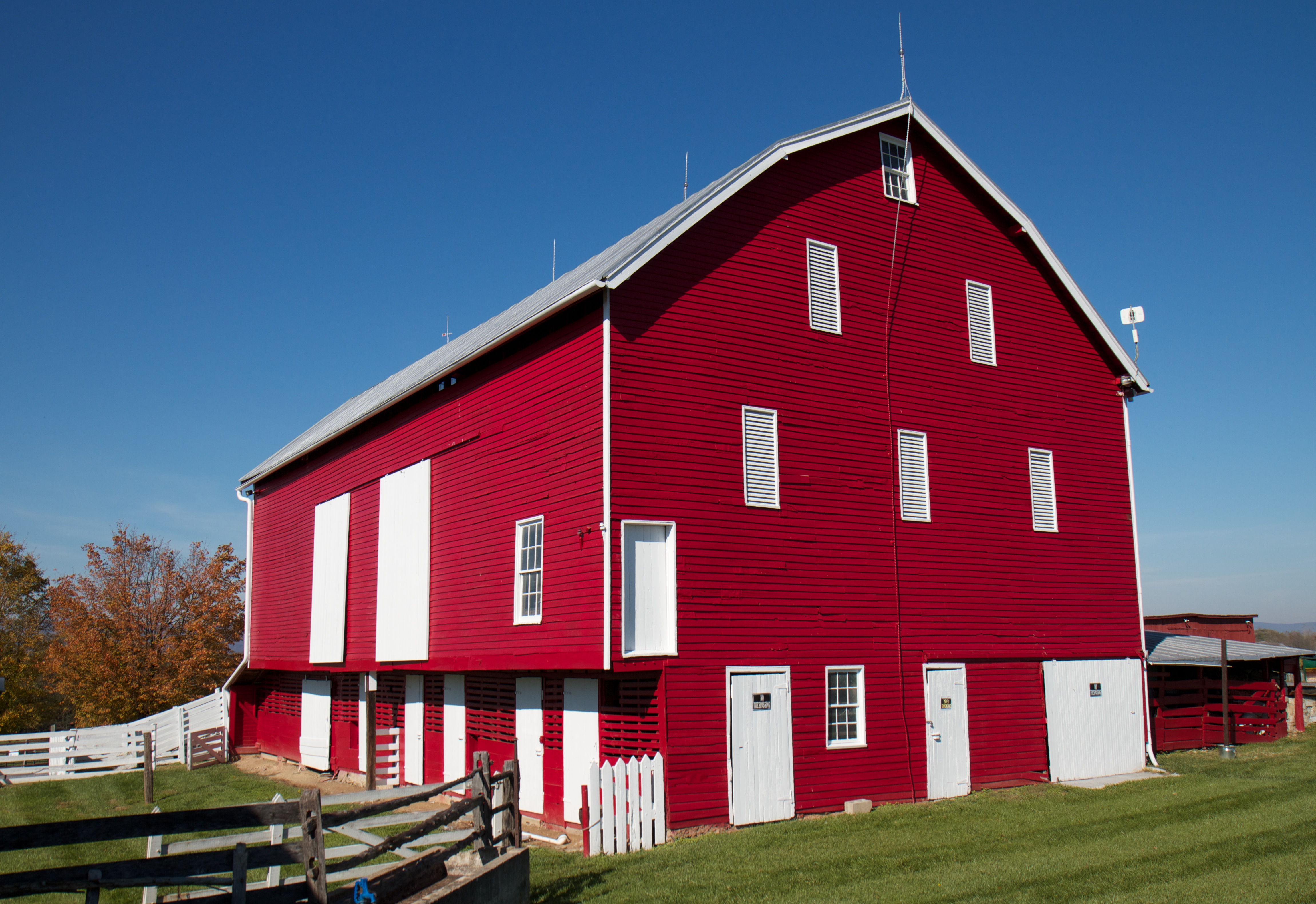
The Red Barns of Cedar Creek
230.4
Cedar Creek and Belle Grove National Historical Park
Topographic Map of Confidence Ln, Middletown, VA, USA
Find elevation by address:

Places near Confidence Ln, Middletown, VA, USA:
Science And Health Professions Building
Middletown
Valley Pike, Stephens City, VA, USA
Chapel Rd, Middletown, VA, USA
Opequon
Stephens City
Middle Rd, Middletown, VA, USA
4689 Cedar Creek Grade
110 Grebe Dr
Lake Frederick
1465 Fairfax Pike
Prosperity Drive
107 Reams Station Ct
Lebanon Church
John Marshall Hwy, Strasburg, VA, USA
184 C W Cir
Stonebrook Rd, Winchester, VA, USA
108 Collington Ct
1941 Macedonia Church Rd
203 Cranberry Ct
Recent Searches:
- Elevation of Woodland Oak Pl, Thousand Oaks, CA, USA
- Elevation of Brownsdale Rd, Renfrew, PA, USA
- Elevation of Corcoran Ln, Suffolk, VA, USA
- Elevation of Mamala II, Sariaya, Quezon, Philippines
- Elevation of Sarangdanda, Nepal
- Elevation of 7 Waterfall Way, Tomball, TX, USA
- Elevation of SW 57th Ave, Portland, OR, USA
- Elevation of Crocker Dr, Vacaville, CA, USA
- Elevation of Pu Ngaol Community Meeting Hall, HWHM+3X7, Krong Saen Monourom, Cambodia
- Elevation of Royal Ontario Museum, Queens Park, Toronto, ON M5S 2C6, Canada