Elevation of Collyer, KS, USA
Location: United States > Kansas > Trego County >
Longitude: -100.03596
Latitude: 39.0122241
Elevation: 756m / 2480feet
Barometric Pressure: 93KPa
Elevation Map:
Satellite Map:
Related Photos:

Kansas Wheat Harvest....

View from the cab of the JD8100

Kansas Harvest Montage
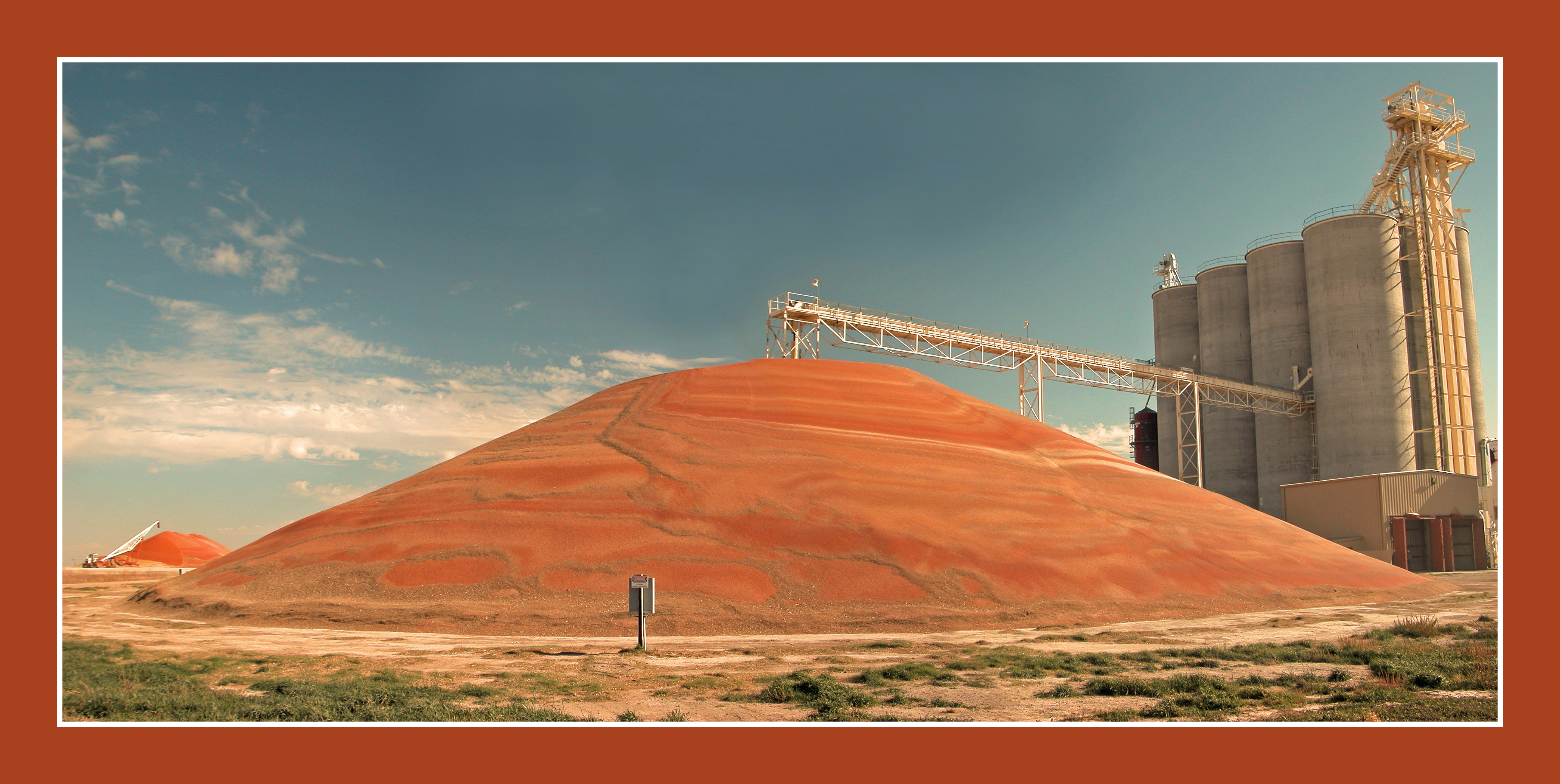
WaKeeney, KS Elevator with Milo

Front View

High plains geometry

Castle Rock
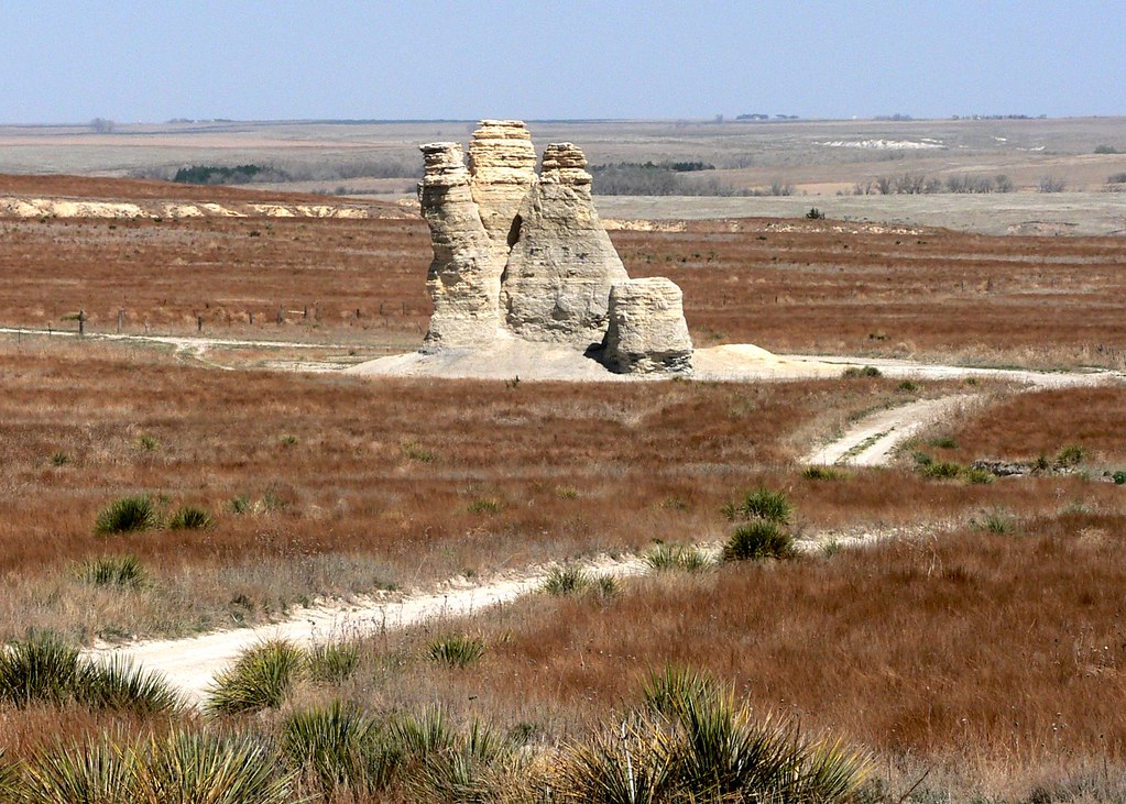
Castle Rock

Badlands near Castle Rock

Combines unloading into the KW

Camera Roll-745

Camera Roll-744

Camera Roll-743

Badlands near Castle Rock

Badlands near Castle Rock

Badlands near Castle Rock

Castle Rock
Topographic Map of Collyer, KS, USA
Find elevation by address:

Places in Collyer, KS, USA:
Places near Collyer, KS, USA:
Collyer
WaKeeney, KS, USA
Wakeeney
Wakeeney
US-, WaKeeney, KS, USA
Quinter
River Rd, Hill City, KS, USA
Grainfield
Gove City
Gove County
410 E Long St
E Long St, Dighton, KS, USA
Dighton
Lane County
Dighton
Oakley
Hodgeman County
Oakley
Center
Jetmore
Recent Searches:
- Elevation of 6 Rue Jules Ferry, Beausoleil, France
- Elevation of Sattva Horizon, 4JC6+G9P, Vinayak Nagar, Kattigenahalli, Bengaluru, Karnataka, India
- Elevation of Great Brook Sports, Gold Star Hwy, Groton, CT, USA
- Elevation of 10 Mountain Laurels Dr, Nashua, NH, USA
- Elevation of 16 Gilboa Ln, Nashua, NH, USA
- Elevation of Laurel Rd, Townsend, TN, USA
- Elevation of 3 Nestling Wood Dr, Long Valley, NJ, USA
- Elevation of Ilungu, Tanzania
- Elevation of Yellow Springs Road, Yellow Springs Rd, Chester Springs, PA, USA
- Elevation of Rēzekne Municipality, Latvia