Elevation of Grainfield, KS, USA
Location: United States > Kansas > Gove County >
Longitude: -100.46513
Latitude: 39.1136186
Elevation: 856m / 2808feet
Barometric Pressure: 91KPa
Elevation Map:
Satellite Map:
Related Photos:
Camera Roll-746
Camera Roll-747
"Kansas Big Sky" #kansas #blue #sky #iphoneography #iphone6s
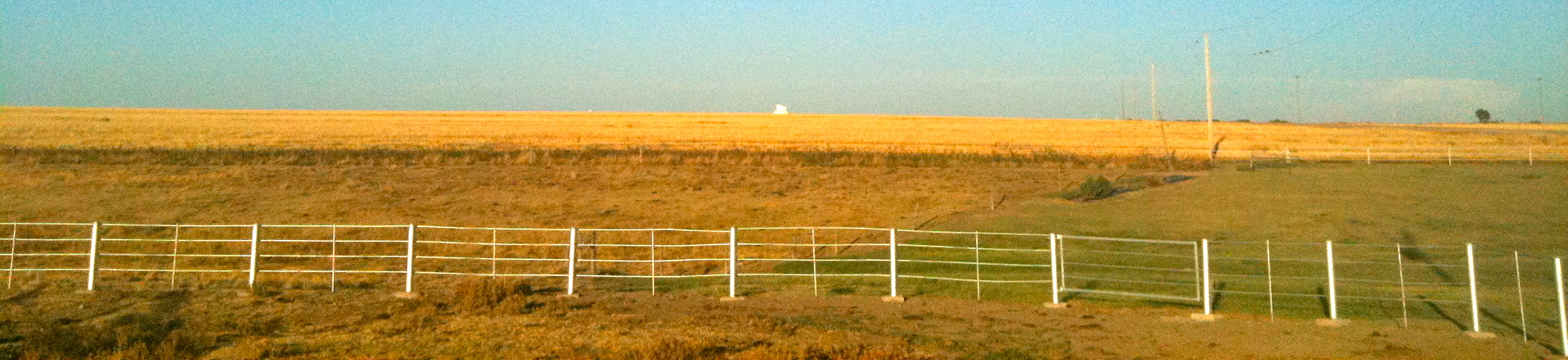
Pasture and Wheat Stubble

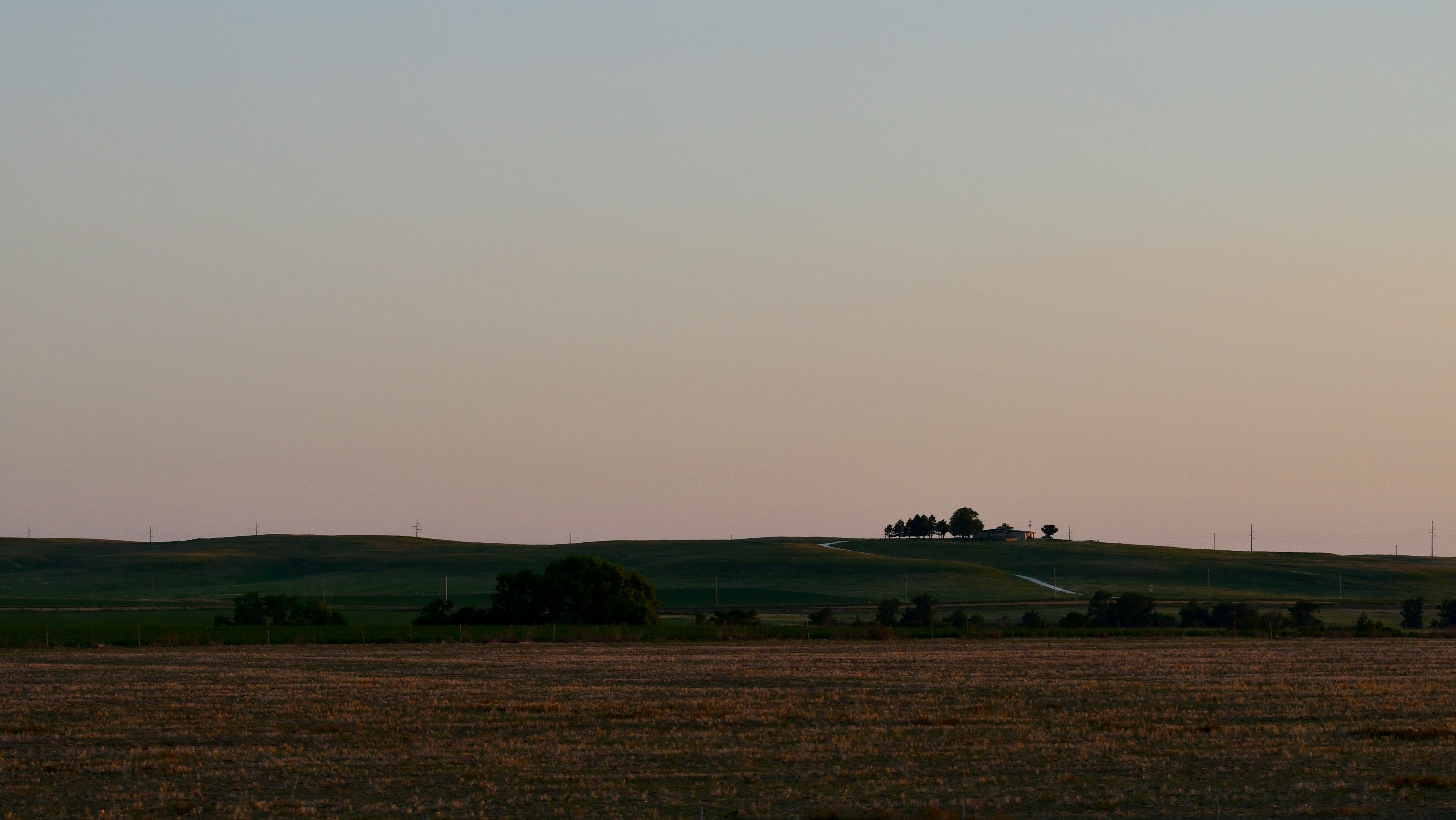
Park, Kansas
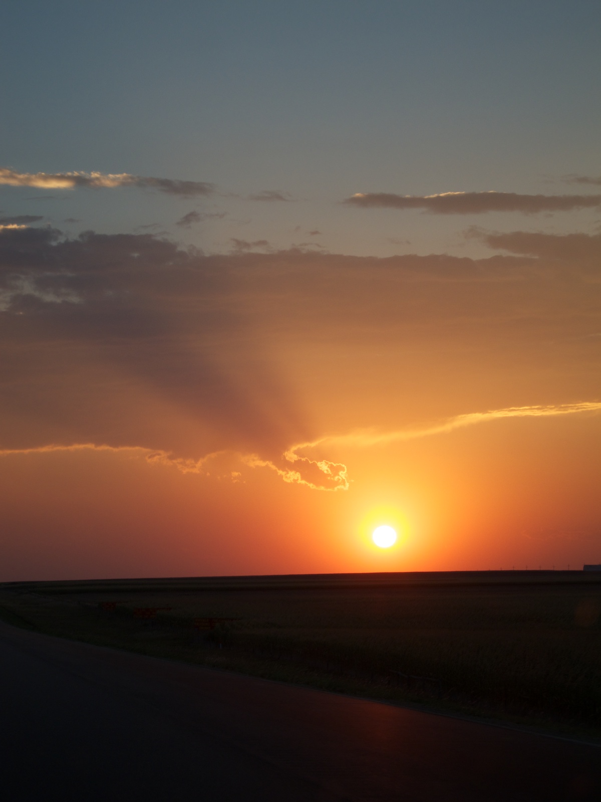
Last rays
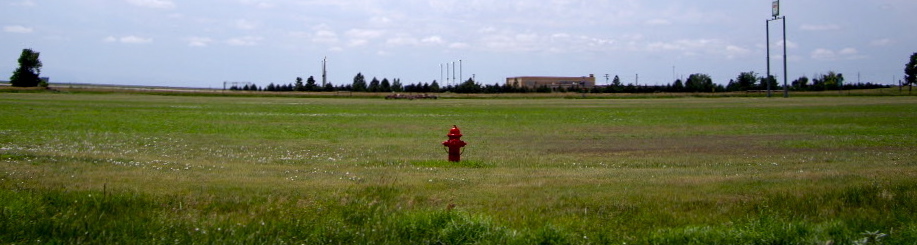
Fire Hydrant
7.9

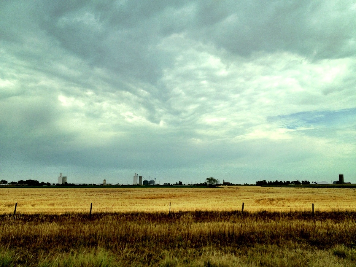
Ruined farm in Gove County, Kansas
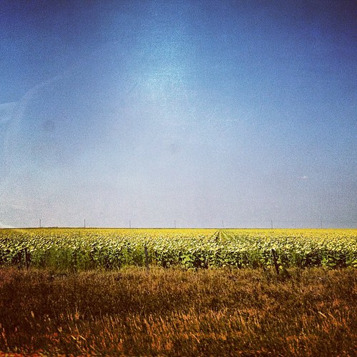
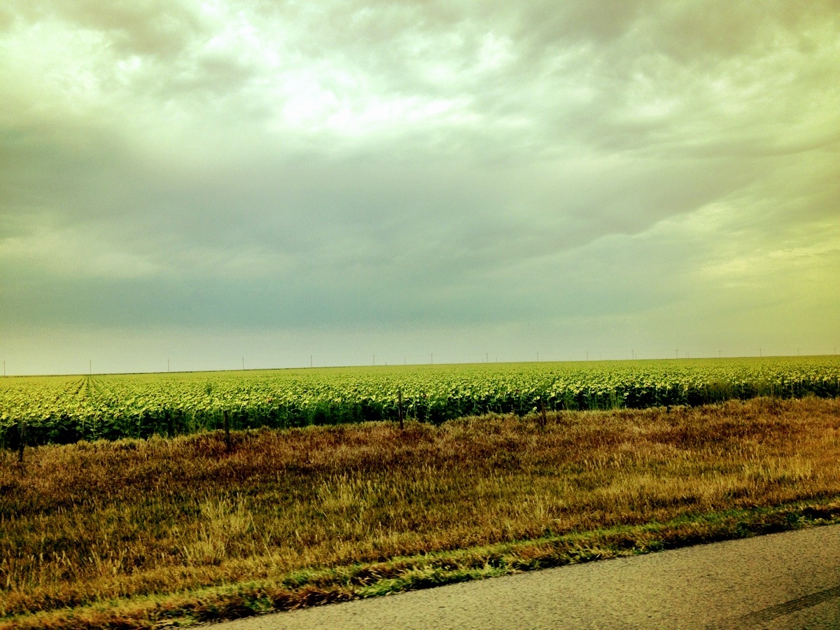
Sunflower Fields. #kansas #travel #roadtrip #sights
Topographic Map of Grainfield, KS, USA
Find elevation by address:

Places near Grainfield, KS, USA:
Gove City
Gove County
Quinter
Collyer
Oakley
Collyer
Oakley
River Rd, Hill City, KS, USA
WaKeeney, KS, USA
Monument
Wakeeney
2502 Zest
Wakeeney
US-, WaKeeney, KS, USA
Dighton
E Long St, Dighton, KS, USA
410 E Long St
Thomas County
Lane County
Dighton
Recent Searches:
- Elevation of Pykes Down, Ivybridge PL21 0BY, UK
- Elevation of Jalan Senandin, Lutong, Miri, Sarawak, Malaysia
- Elevation of Bilohirs'k
- Elevation of 30 Oak Lawn Dr, Barkhamsted, CT, USA
- Elevation of Luther Road, Luther Rd, Auburn, CA, USA
- Elevation of Unnamed Road, Respublika Severnaya Osetiya — Alaniya, Russia
- Elevation of Verkhny Fiagdon, North Ossetia–Alania Republic, Russia
- Elevation of F. Viola Hiway, San Rafael, Bulacan, Philippines
- Elevation of Herbage Dr, Gulfport, MS, USA
- Elevation of Lilac Cir, Haldimand, ON N3W 2G9, Canada