Elevation of College St, Winchester, KY, USA
Location: United States > Kentucky > Clark County > Winchester >
Longitude: -84.189068
Latitude: 37.9940181
Elevation: 311m / 1020feet
Barometric Pressure: 98KPa
Elevation Map:
Satellite Map:
Related Photos:
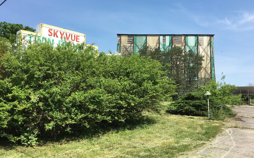
Limited view of the Skyvue

Kentucky River Blast 2014

Kentucky River Blast 2014

Kentucky River Blast 2014

Kentucky River Blast 2014

Pilot View, Clark Co., KY
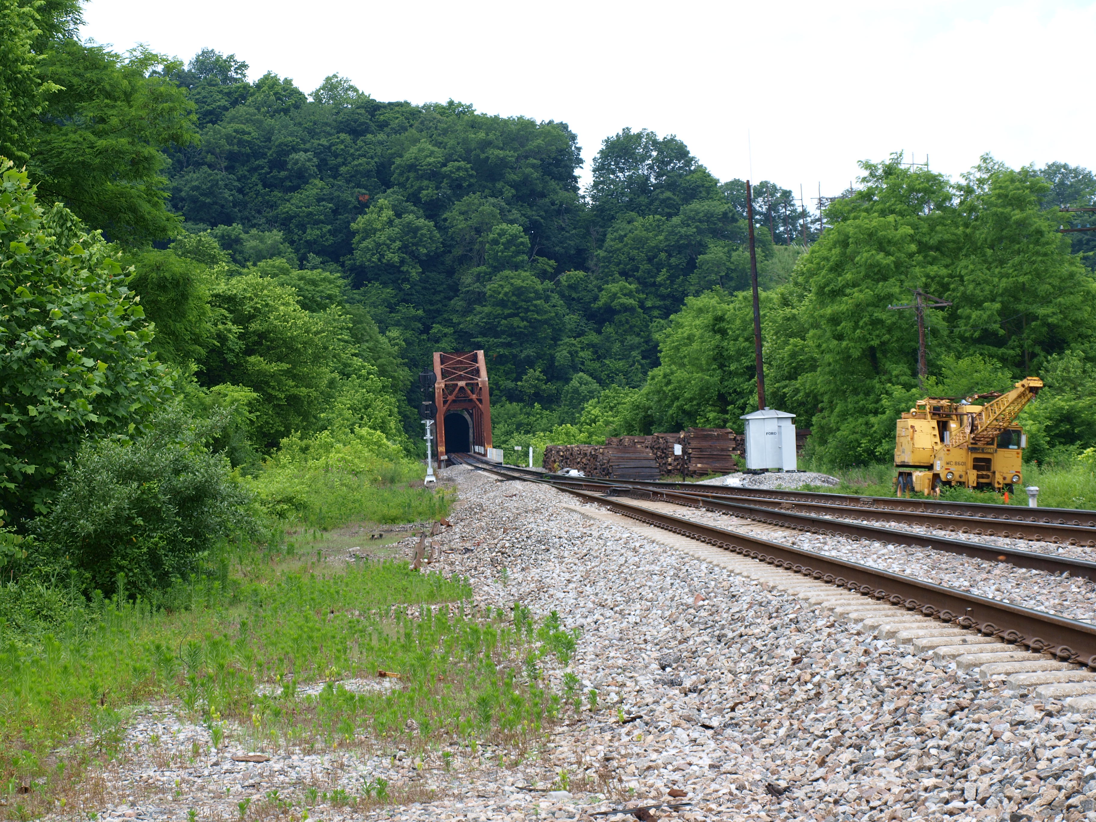
Unknown railroad truss bridge, Clark County, KY
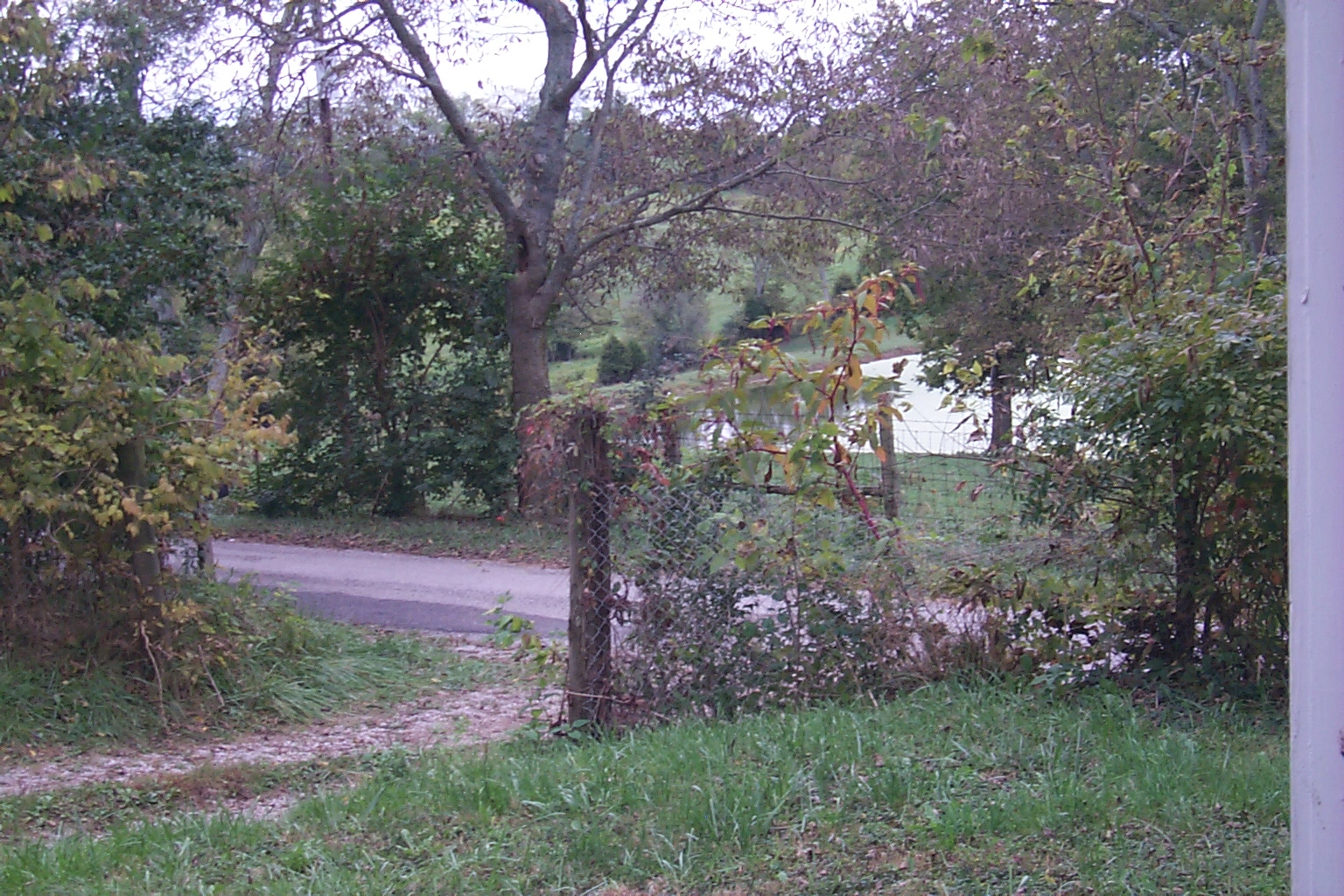
Off the Front Porch

overhead view of field

A Foggy Boonesborough Morning

Off the Front Porch
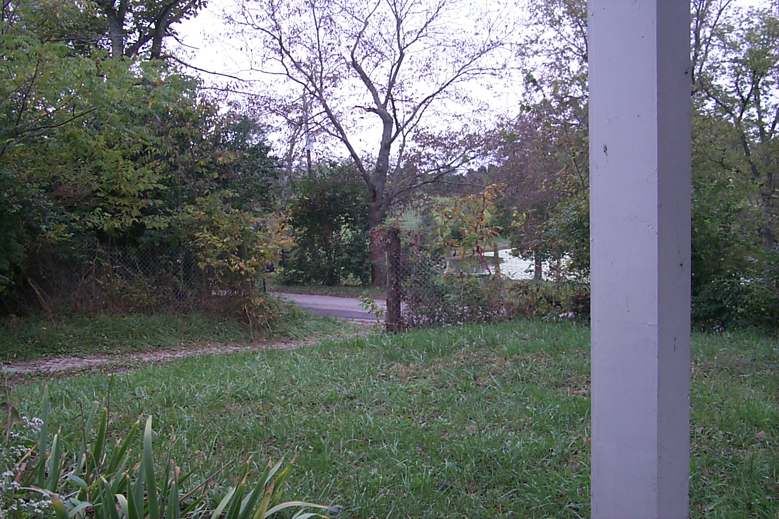
Off the Front Porch

Clark County Sunset_3489

He wasn't much all by himself

Kentucky Tobacco Field
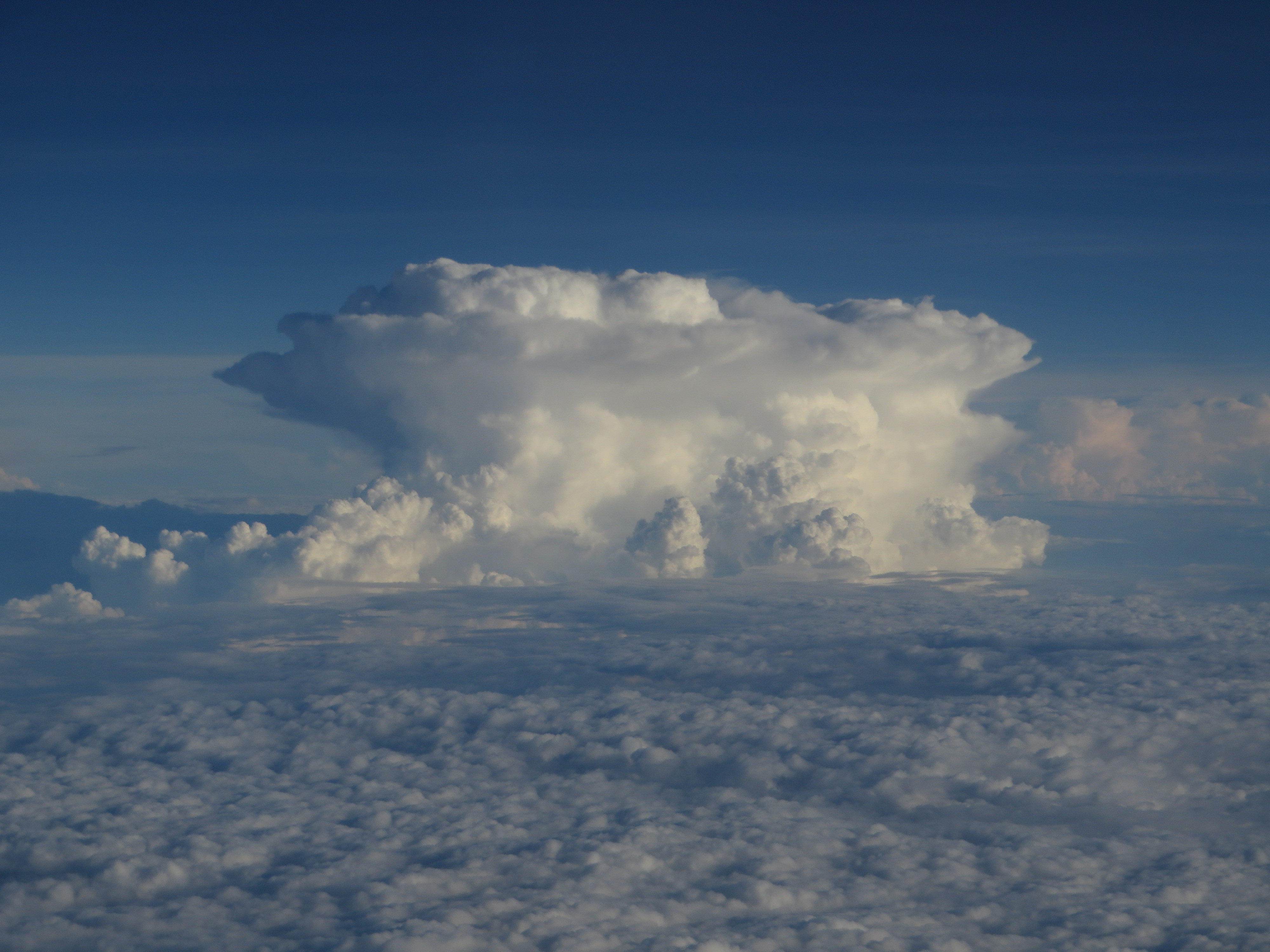
Thunderstorms Over Eastern Kentucky

Landscape Just West of Mount Sterling, Kentucky

Pioneer Forage Trail-9137

West Virginia farm

Morning has broken

Cloudy Sunrise, Clark County, KY

Farm Landscape — Winchester Vicinity, Clark County, Kentucky
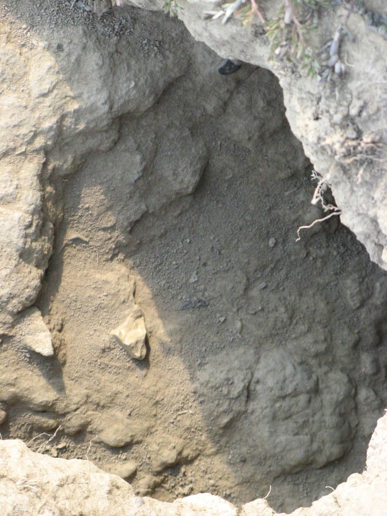
One of the ground hog's holes

Passing Landscape near Morehead

Carolyn's farm

Greetings from Winchester Mural in Winchester, Kentucky

Sunflowers Forever #flowers #flowerphotography #iphonephotography #sharethelex #kytourism #sunflowers

The lock pool

Small cascading creek running into the Kentucky River near Boonesboro, KY

Small cascading creek running into the Kentucky River near Boonesboro, KY
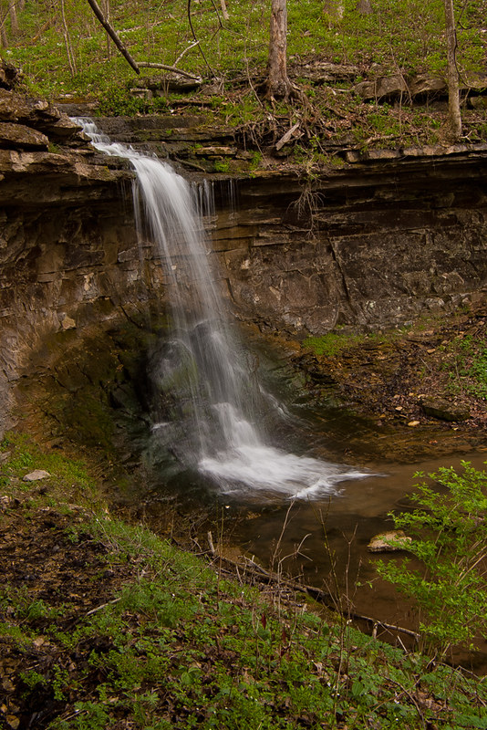
Small cascading creek running into the Kentucky River near Boonesboro, KY

Thunderstorms Over Eastern Kentucky
Topographic Map of College St, Winchester, KY, USA
Find elevation by address:

Places near College St, Winchester, KY, USA:
41 Colby Cir, Winchester, KY, USA
Winchester
17 Cleveland Ave
Windsor Dr, Winchester, KY, USA
5 Mallard Ln, Winchester, KY, USA
8 Hillcrest Dr, Winchester, KY, USA
173 Cherokee Dr
Hibiscus Lane
2416 Ironworks Rd
4566 Colby Rd
US-60, Winchester, KY, USA
5189 Ironworks Rd
Colby Rd, Winchester, KY, USA
Ecton Rd, Winchester, KY, USA
Briar Hill Rd, Paris, KY, USA
Clintonville Rd, Paris, KY, USA
Mt Sterling Rd, Winchester, KY, USA
N Cleveland Rd, Lexington, KY, USA
N Cleveland Rd, Lexington, KY, USA
Five Forks Hill
Recent Searches:
- Elevation of Shibuya Scramble Crossing, 21 Udagawacho, Shibuya City, Tokyo -, Japan
- Elevation of Jadagoniai, Kaunas District Municipality, Lithuania
- Elevation of Pagonija rock, Kranto 7-oji g. 8"N, Kaunas, Lithuania
- Elevation of Co Rd 87, Jamestown, CO, USA
- Elevation of Tenjo, Cundinamarca, Colombia
- Elevation of Côte-des-Neiges, Montreal, QC H4A 3J6, Canada
- Elevation of Bobcat Dr, Helena, MT, USA
- Elevation of Zu den Ihlowbergen, Althüttendorf, Germany
- Elevation of Badaber, Peshawar, Khyber Pakhtunkhwa, Pakistan
- Elevation of SE Heron Loop, Lincoln City, OR, USA