Elevation of Cherokee Dr, Winchester, KY, USA
Location: United States > Kentucky > Clark County > Winchester >
Longitude: -84.209757
Latitude: 37.9733511
Elevation: 280m / 919feet
Barometric Pressure: 98KPa
Elevation Map:
Satellite Map:
Related Photos:

Off the Front Porch

Kentucky River Blast 2014

Kentucky River Blast 2014

The Falling-Down House
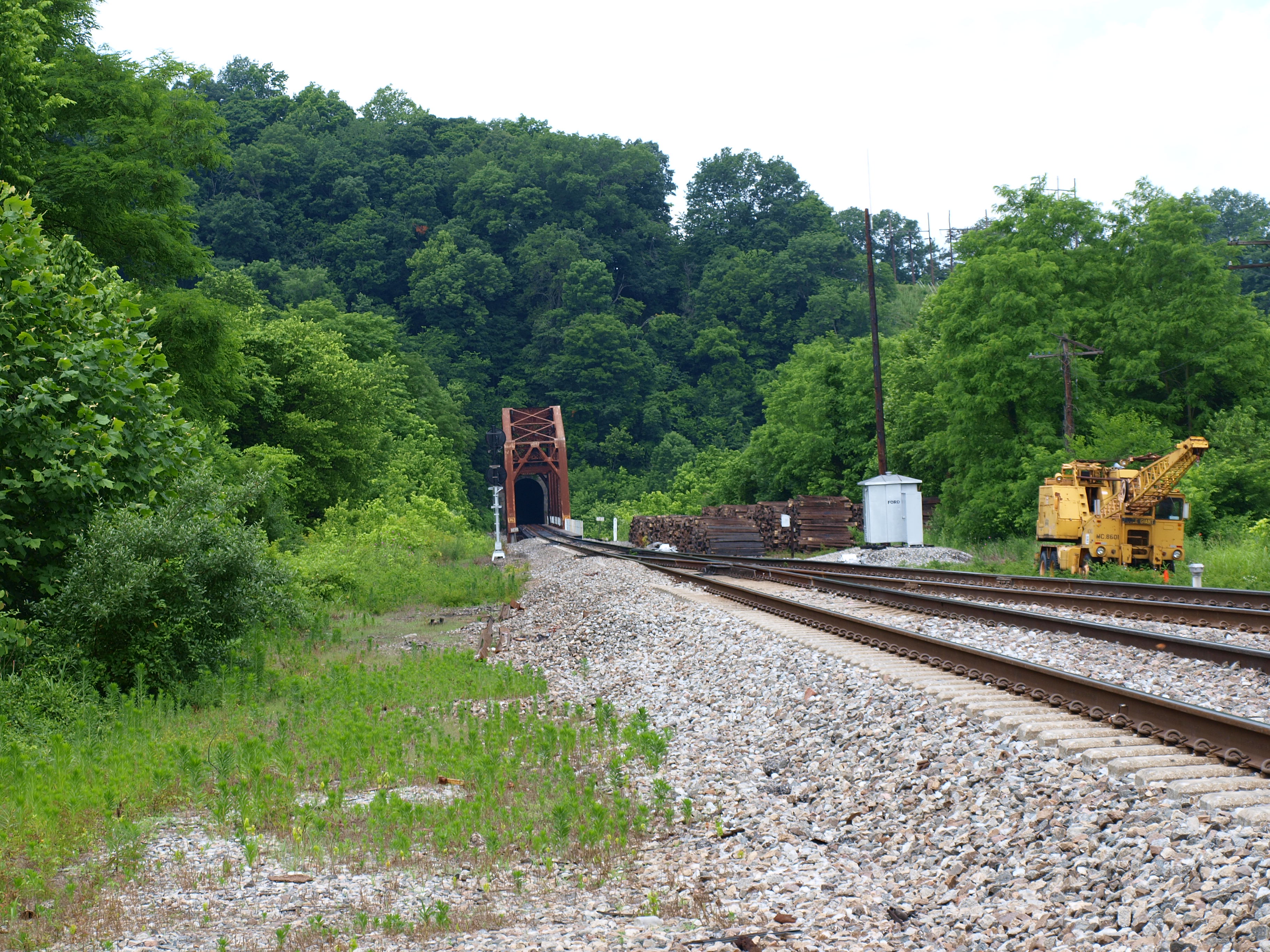
Unknown railroad truss bridge, Clark County, KY
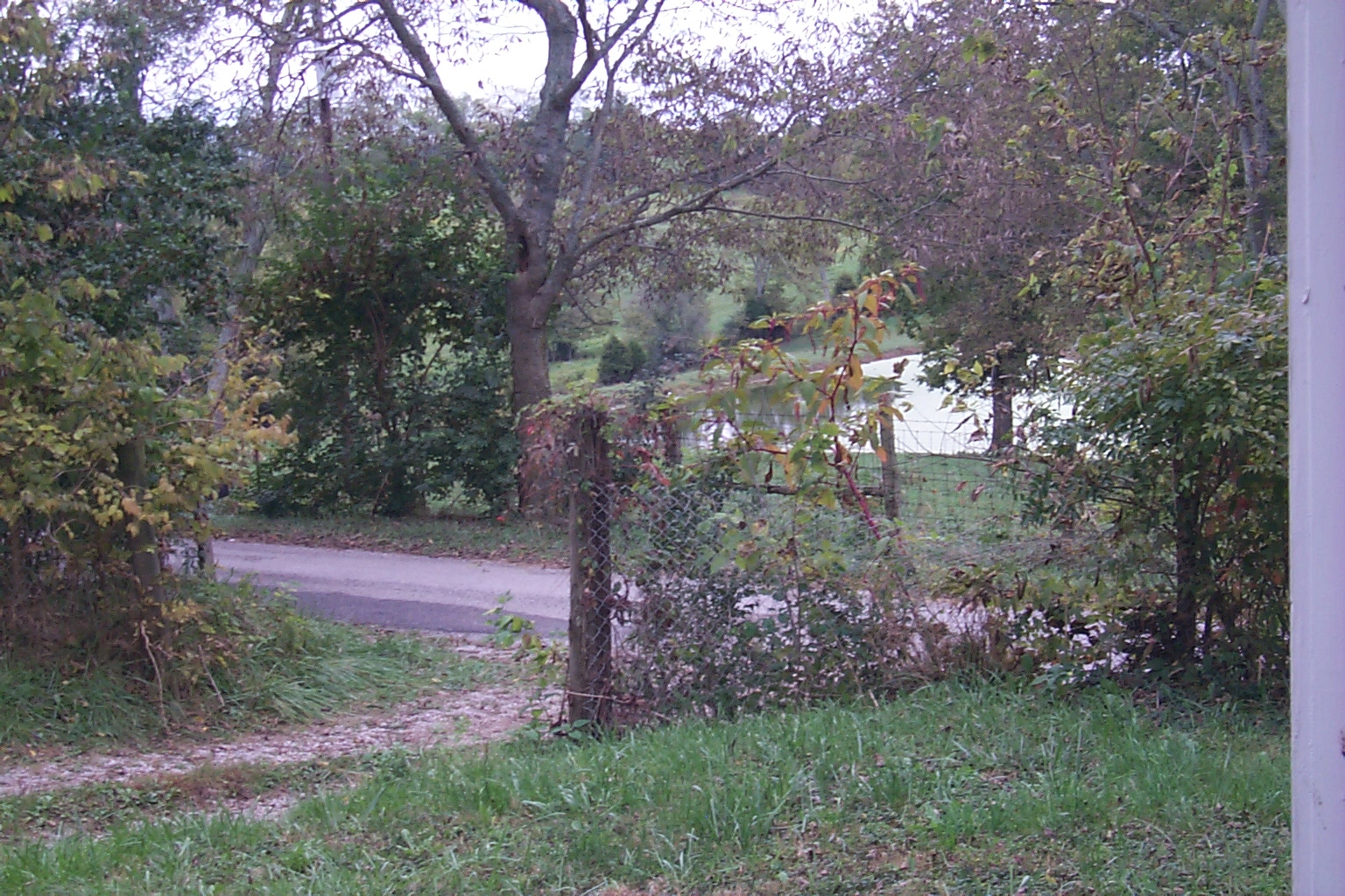
Off the Front Porch
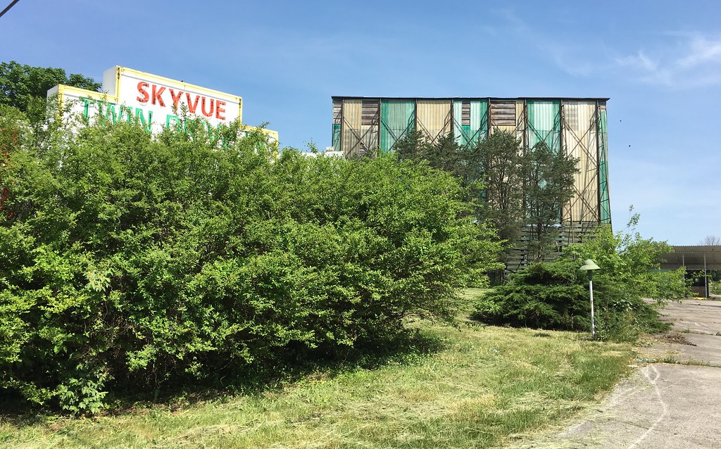
Limited view of the Skyvue

overhead view of field

Clark County Sunset_3489

Small cascading creek running into the Kentucky River near Boonesboro, KY

Kentucky Tobacco Field

Kentucky River Palisades

Morning #sunrise March 14 near Lexington #sharethelex #nature #sunrise #visitlex #kytourism

West Virginia farm

Cloudy Sunrise, Clark County, KY
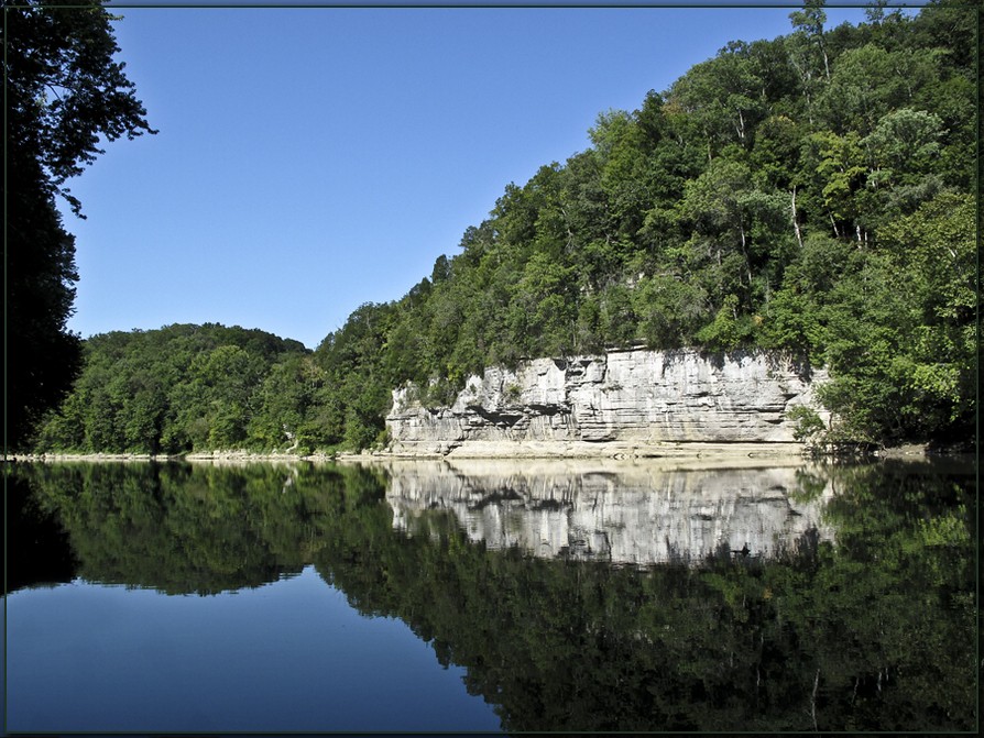
The Palisades on the Kentucky River

IMG_4476 copy

Old #farmhouse in #centralky in B/W

Carolyn's farm

Stone Fence 1

Small cascading creek running into the Kentucky River near Boonesboro, KY

Small cascading creek running into the Kentucky River near Boonesboro, KY

Pioneer Forage Trail-9137

Carolyn's farm

Landscape Southeast of Lexington, Kentucky

Hinoki cypress

Clays Ferry Bridge- Lexington, Kentucky

Hinoki cypress

tree!
Topographic Map of Cherokee Dr, Winchester, KY, USA
Find elevation by address:

Places near Cherokee Dr, Winchester, KY, USA:
8 Hillcrest Dr, Winchester, KY, USA
Hibiscus Lane
5 Mallard Ln, Winchester, KY, USA
41 Colby Cir, Winchester, KY, USA
515 College St
Windsor Dr, Winchester, KY, USA
Winchester
17 Cleveland Ave
4566 Colby Rd
2416 Ironworks Rd
US-60, Winchester, KY, USA
Colby Rd, Winchester, KY, USA
5189 Ironworks Rd
Briar Hill Rd, Paris, KY, USA
Ecton Rd, Winchester, KY, USA
N Cleveland Rd, Lexington, KY, USA
N Cleveland Rd, Lexington, KY, USA
Clintonville Rd, Paris, KY, USA
Uttinger Ln, Lexington, KY, USA
Mt Sterling Rd, Winchester, KY, USA
Recent Searches:
- Elevation of Corso Fratelli Cairoli, 35, Macerata MC, Italy
- Elevation of Tallevast Rd, Sarasota, FL, USA
- Elevation of 4th St E, Sonoma, CA, USA
- Elevation of Black Hollow Rd, Pennsdale, PA, USA
- Elevation of Oakland Ave, Williamsport, PA, USA
- Elevation of Pedrógão Grande, Portugal
- Elevation of Klee Dr, Martinsburg, WV, USA
- Elevation of Via Roma, Pieranica CR, Italy
- Elevation of Tavkvetili Mountain, Georgia
- Elevation of Hartfords Bluff Cir, Mt Pleasant, SC, USA