Elevation of Cole Ranch Rd, Auburn, CA, USA

Location: United States > California > Placer County > Auburn >

Longitude: -121.04829

Latitude: 38.9605657

Elevation: 473m / 1552feet

Barometric Pressure: 96KPa

Elevation Map:

elevation map of Cole Ranch Rd, Auburn, CA, USA

Satellite Map:

Satellite map of Cole Ranch Rd, Auburn, CA, USA

Related Photos:

ca usa water rock moss auburn falls trail february 2010 americanriver sierranevadafoothills auburnsra blackholeofcalcuttafalls
Grotto of the Falls
california landscape applegate coth abigfave impressedbeauty diamondclassphotographer flickrdiamond ef1635mmf28liiusm nejmantowicz dragondaggerphoto flickrclassique salonpolski
North Fork American River
california ca black true mystery night cat dark interestingness scary dangerous darkness topv999 auburn eerie safety explore story mysterious account puma sierranevada topv9999 cougar inky 28135mm mountainlion frightening placercounty sierranevadamountains stalked top500 interestingness304 i500 monsterquest
Stalked by a Mountain Lion
california ca blue green rock stone wall night forest dark moss topv999 granite moonlight iridescent algae quarry 28135mm penryn griffithquarry
Quarry Wall Under Forest Moonlight
california county sea moon mountain mountains 20d true northerncalifornia night canon fun bay photo site funny lion tranquility luna nasa landing story telescope photograph crater valley planet puma bays apollo lunar gibbous base placer seas mountainlion celestial placercounty stellarvue familygetty
Full Sized Moon and Story 6479
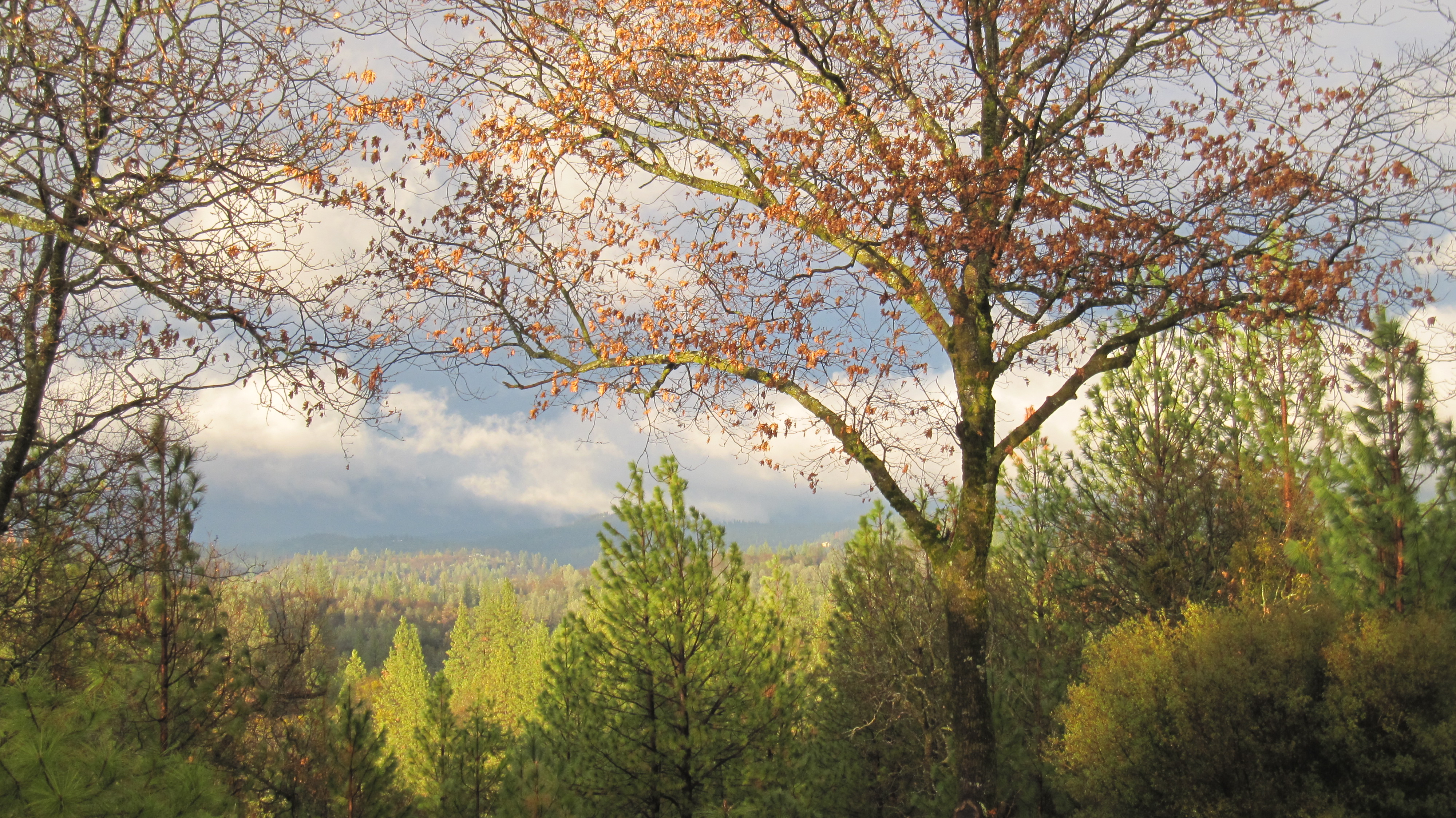
california county travel house america court gold highway downtown united country auburn rush courthouse interstate states roadside 80 placer
Central Auburn
auburn dji outdoor phantom4pro sacramento aerial airialview dreyerpicturescom drone river water
American River - Forest Hill, CA
Views facing North
california gold auburn placercountycourthouse oldtownauburn placercountygold 9682742 19411troyounces
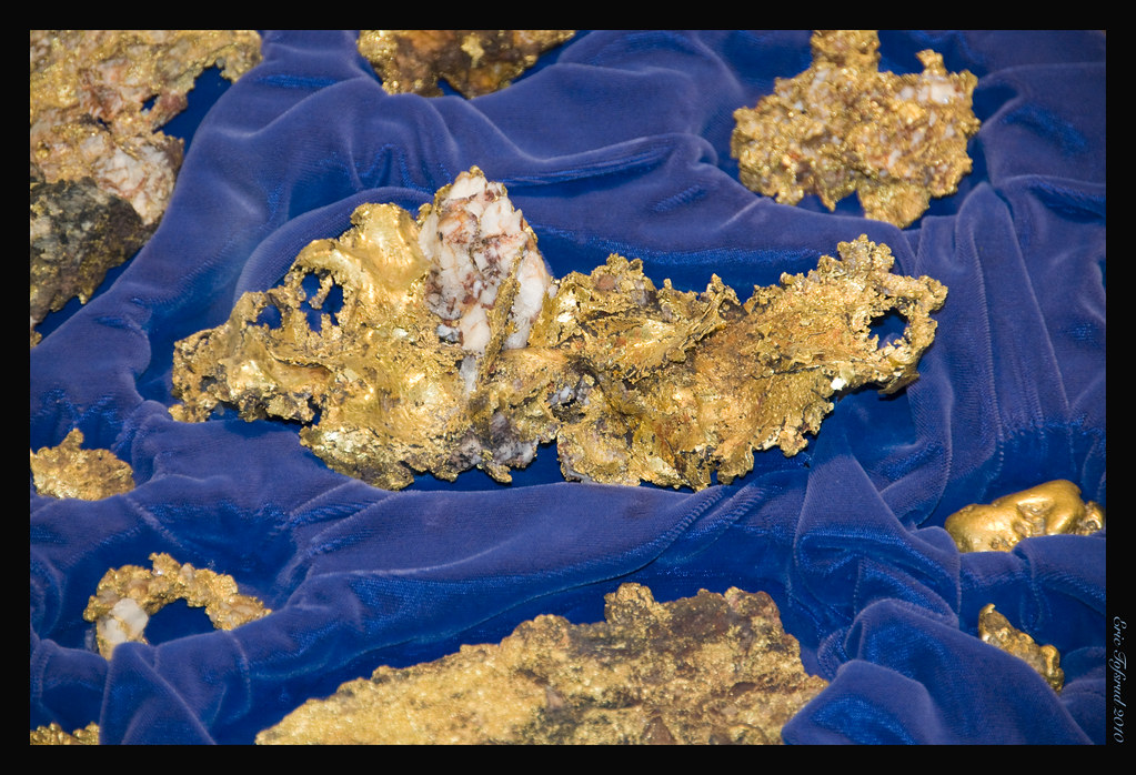
Placer County GOLD !!
california auburn
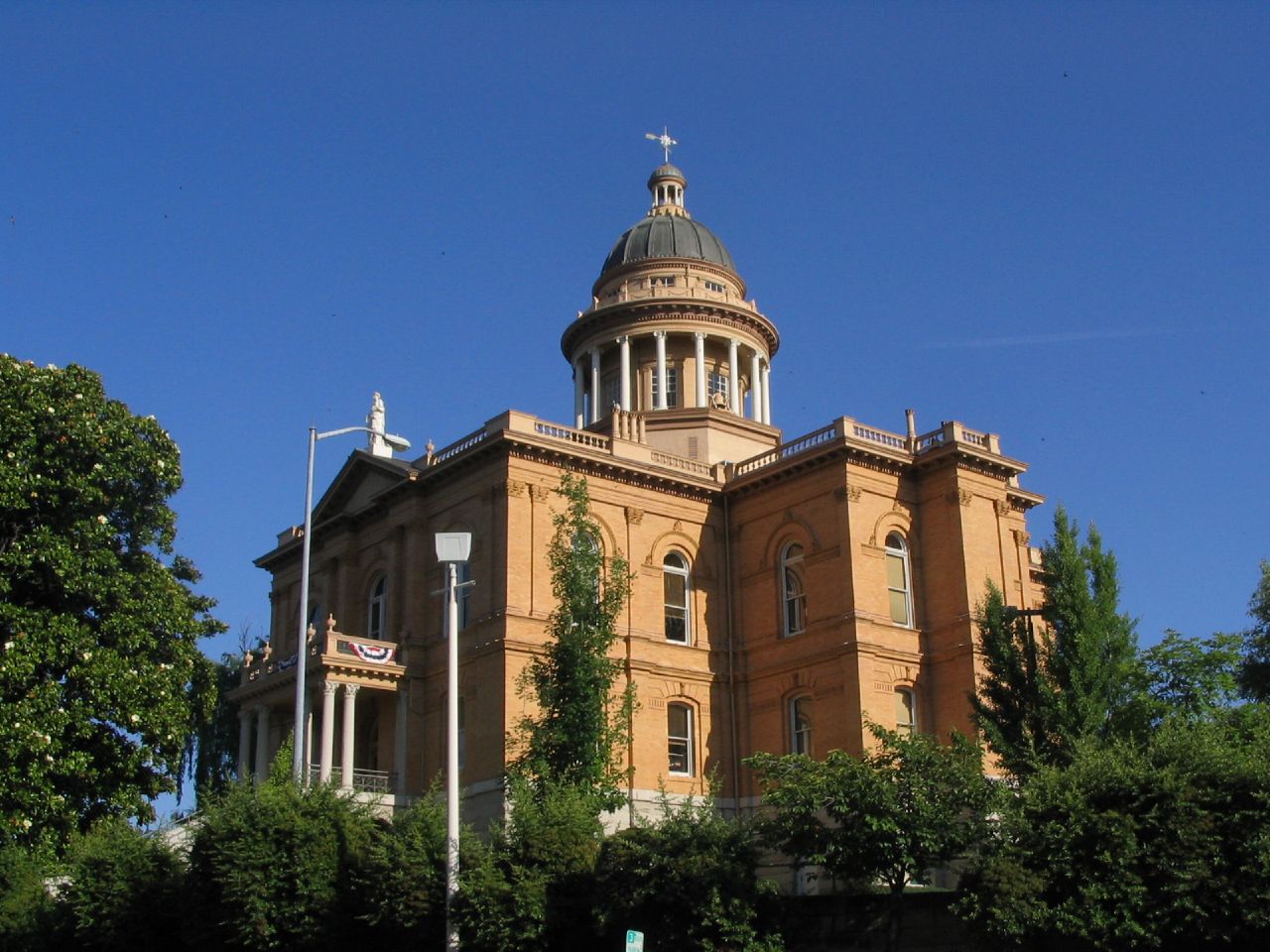
Placer County Courthouse, Auburn, California
Western Views
california statepark geotagged person child hiking placercounty goldcountry auburnstaterecreationarea lakeclementinejune2011
Lake Clementine Trail
Western Views
california history 20d canon photo cityscape auburn historic photograph courthouse sacramento hdr placercounty supershot familygetty
Historic Auburn HDR 4115
ca house court project day auburn 1000 925
Day 925: Auburn_9181d
ca building sunrise court project day auburn 1000 932
Day 932: Auburn_9446d
california auburn americanriver greatphotographers flickraward nejmantowicz clarkshole
North Fork of American River
Paralleling tracks
california trees sky usa tree clouds buildings artistic grunge structures places auburn hdr scenicshots artisticinterpretations
Historic Placer County Courthouse
square squareformat iphoneography instagramapp uploaded:by=instagram foursquare:venue=4bad502bf964a5201e453be3
Best rear view ever
california old 3 cars ford car antique auburn courthouse hdr fords goldcountry exp photomatix sfchronicle96hrs
The Auburn Courthouse
california foothills water creek canon waterfall stream sigma adobe cascades vivitar manfrotto placercounty sierranevadafoothills auburnstaterecreationarea devilsfalls canoneos50d manfrotto190xprobtripod lightroom3 zeikos northforkamericanrivercanyon adobephotoshopcs5 adobebridgecs5 sigma1770mmf2845dcmacrolens zeikoscpl devilscanyoncreek vivitarwirelessshutterreleasevivrc200 manfrottobasicpantilthead
Falling Away
landscape weimar waterfall jims yankee colfax d800 1424
Yankee Jim's Waterfall
california longexposure motion fern water rock waterfall moss movement wideangle auburn landmark olympus e3 ultrawide placercounty zd nd8 ndgrad p121f olympuse3 918mm
Black Hole of Calcutta
Curtis.Tasker-2010.01.01-00.47.36-7441.jpg
california foothills creek canon river waterfall hiking sigma places placercounty americanriver sierranevadafoothills northforkamericanriver auburnstaterecreationarea canoneos50d seasonalcreek sigma1770mmf2845dcmacrolens zeikoscpl conkinfilterholder leefilter9ndgradpseries
Seasonal Waterfall
california
051015_23_Lake Clementine Dam, CA
california park county trees sky cliff white mountain tree green fall nature wet water beautiful rock danger creek forest outdoors waterfall cool whitewater stream place background hike falls foliage hidden trail national sacramento splash cascade placer hiddenfalls
Hidden Falls 9040
square sierra squareformat iphoneography instagramapp uploaded:by=instagram foursquare:venue=4bbcee67a0a0c9b6a2ff1a0f
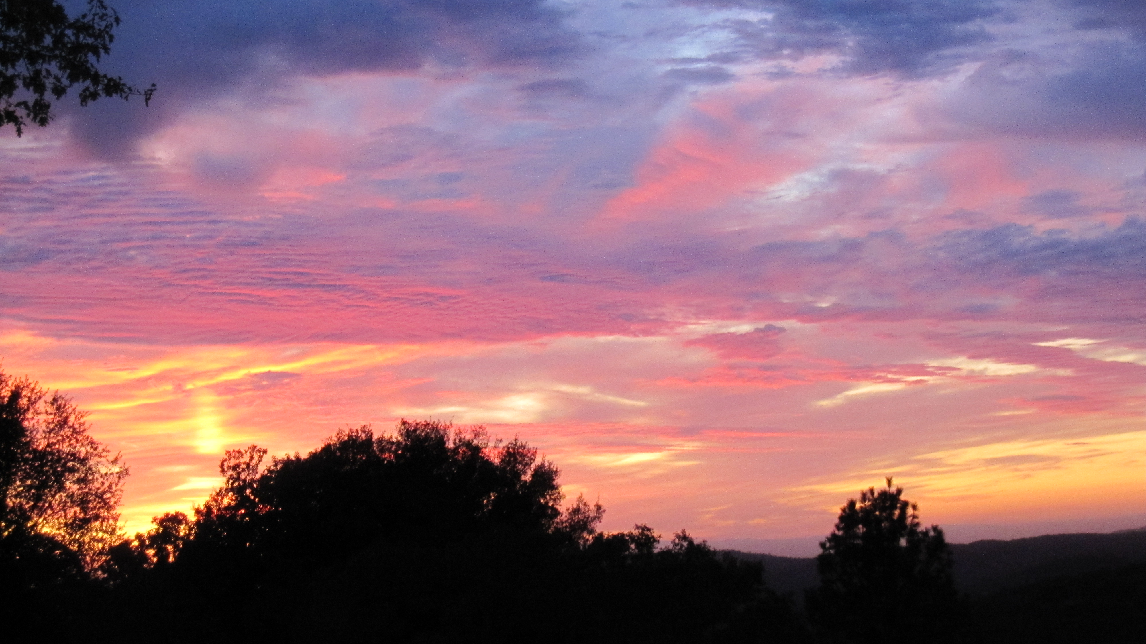
It's going to be a great day
california northerncalifornia landscape nikon d800 cloudsstormssunsetssunrises
_ADS3092.jpg
california ca bridge tower water forest river movie landscape geotagged steel hill topv999 structures bridges engineering auburn location structure rivers xxx topv9999 base basejumping engineer foresthill span 28135mm confluence footings stunt spans northfork highest americanriver tallest facts goldcountry discoverychannel foundations reshoot civilengineering foresthillbridge middlefork landscapephotography basejump steeltruss californiagoldcountry landscapephotos auburndam basejumpers stuntjunkies
Foresthill Bridge Over the North Fork of the American River
california foothills water creek canon stream sigma adobe cascades vivitar colfax manfrotto placercounty sierranevadafoothills campbellcreek canoneos50d manfrotto190xprobtripod lightroom3 photomatixpro4 adobephotoshopcs5 bearrivercampground adobebridgecs5 sigma1770mmf2845dcmacrolens vivitarwirelessshutterreleasevivrc200 manfrottobasicpantilthead
Campbell Creek Cascade
macro vivitar 5528
Lady in the Grass
california trees nature landscape march hiking trail placercounty 2013 hiddenfallsregionalpark iphone4s uploaded:by=flickrmobile flickriosapp:filter=nofilter
214/365 ~ Hidden Falls Regional Park
california ca nature water river season landscape geotagged gold landscapes scenery seasons natural topv999 49ers tranquility auburn mining rivers serenity waters serene topv9999 panning tranquil 28135mm confluence goldrush northfork placercounty americanriver goldcountry middlefork landscapephotography fortyniners californiagoldcountry landscapephotos landscapephoto
American River Confluence
california ca longexposure summer mist mountain mountains water pool creek landscape gold waterfall grunge smooth highcontrast 49ers 2006 sierra waterfalls highsaturation pan sierras sierranevada panning comparison foresthill hdr colfax creeks compare goldrush northfork claim waterscape placercounty americanriver goldcountry reshoot sierranevadamountains 2011 landscapephotography northforkamericanriver devilsfalls tonemapped californiagoldcountry goldminers 5xp tonemaping 1750mm yankeejim yankeejimsroad yankeejims goldclaim shirttailcreek foresthilldivide devilsfall devilswaterfall devilswaterfalls
Devil's Falls (Smooth)
auburn california gh4 lumix m43 m43ftw microfourthirds mirrorless panasonic dreyerpicturescom river water unitedstates us
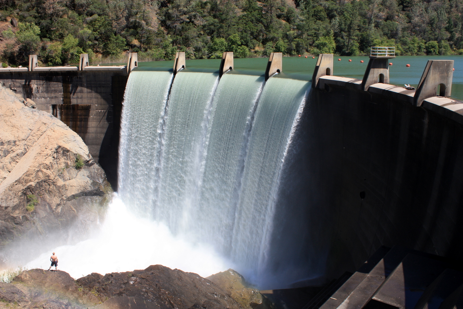
Clementine Dam - California
california statepark geotagged hiking placercounty goldcountry auburnstaterecreationarea lakeclementinejune2011
Hiker at the Base of Lake Clementine Dam
square sierra squareformat iphoneography instagramapp uploaded:by=instagram foursquare:venue=4b809269f964a520cd7d30e3
Sunken ice pond
uploaded:by=flickrmobile flickriosapp:filter=nofilter
American River
california road county street old trip travel trees people usa white house snow tree tourism home nature sign rural canon way landscape wooden highway day driving post image scenic roadtrip scene tourist clean direction lane 7d roadsign welcome narrow cloudscape placer colfax f4l 24105mm
Welcome Lane 6765