Elevation of Nancy Dr, Auburn, CA, USA
Location: United States > California > Placer County > Auburn >
Longitude: -121.06200
Latitude: 38.986894
Elevation: 503m / 1650feet
Barometric Pressure: 95KPa
Elevation Map:
Satellite Map:
Related Photos:
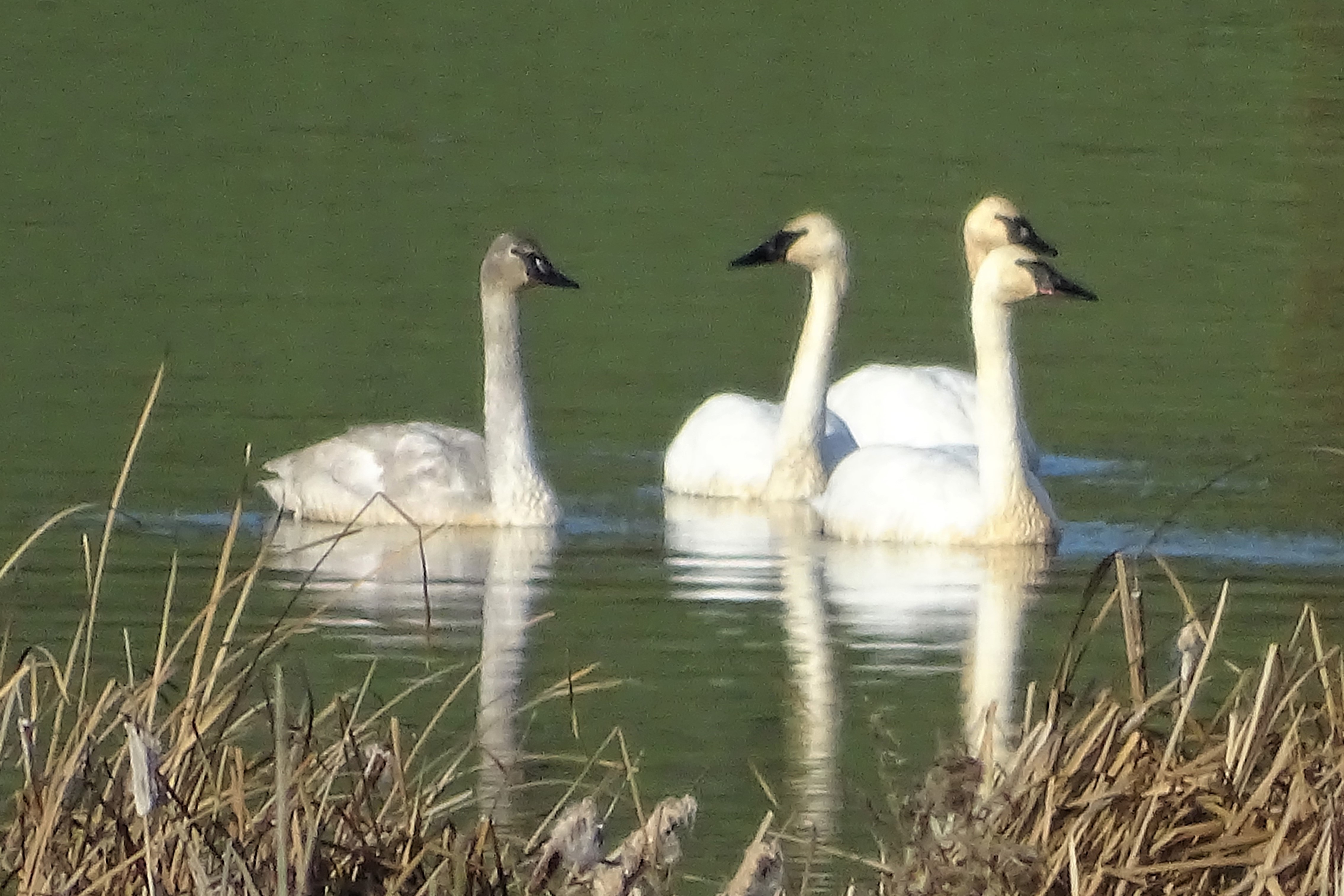
Trumpeter Swans--Cygnus buccinator
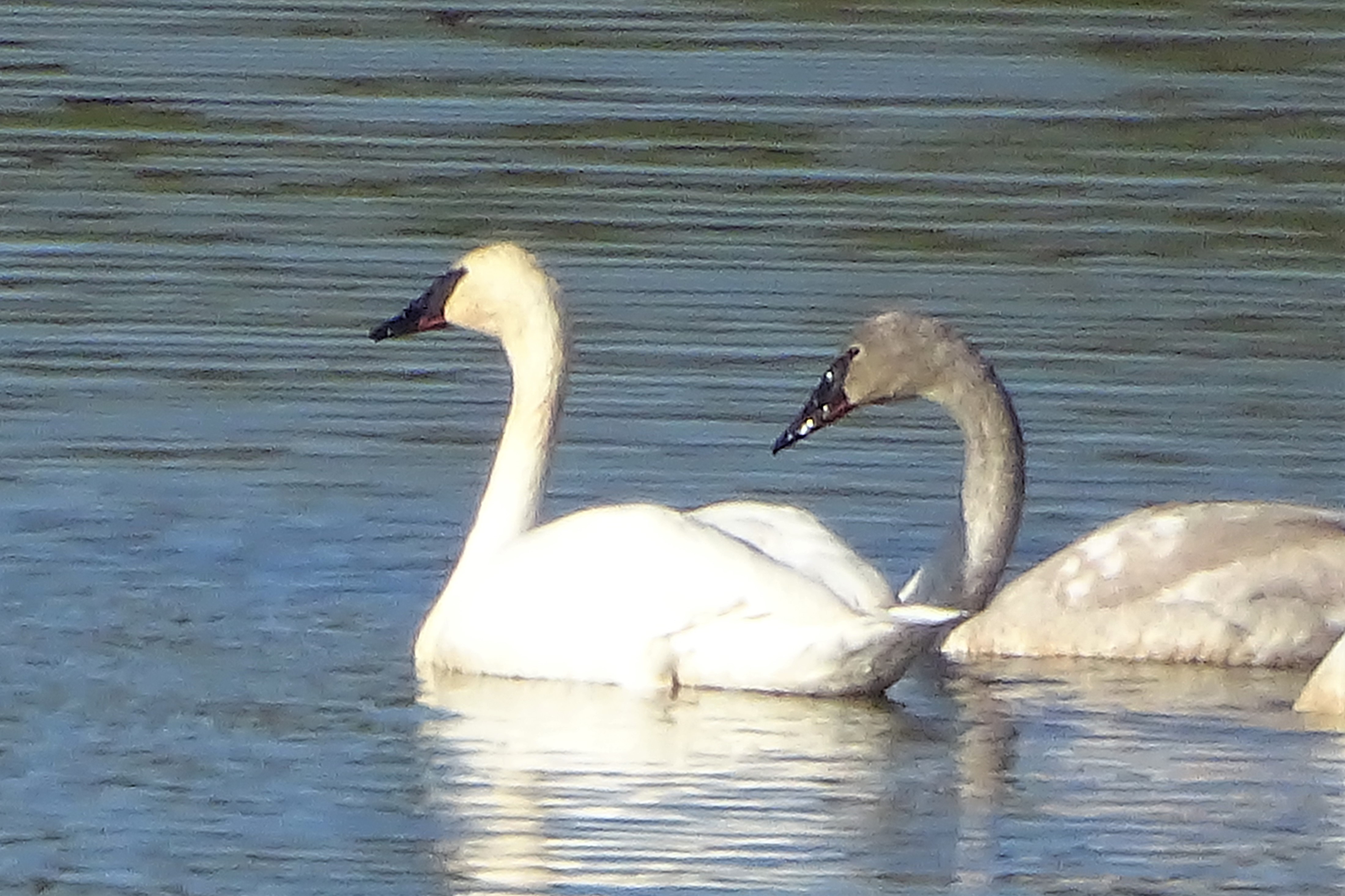
Trumpeter Swans--Cygnus buccinator
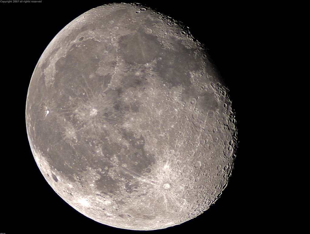
Full Sized Moon and Story 6479

Day 932: Auburn_9446d

Day 925: Auburn_9181d
Courthouse View
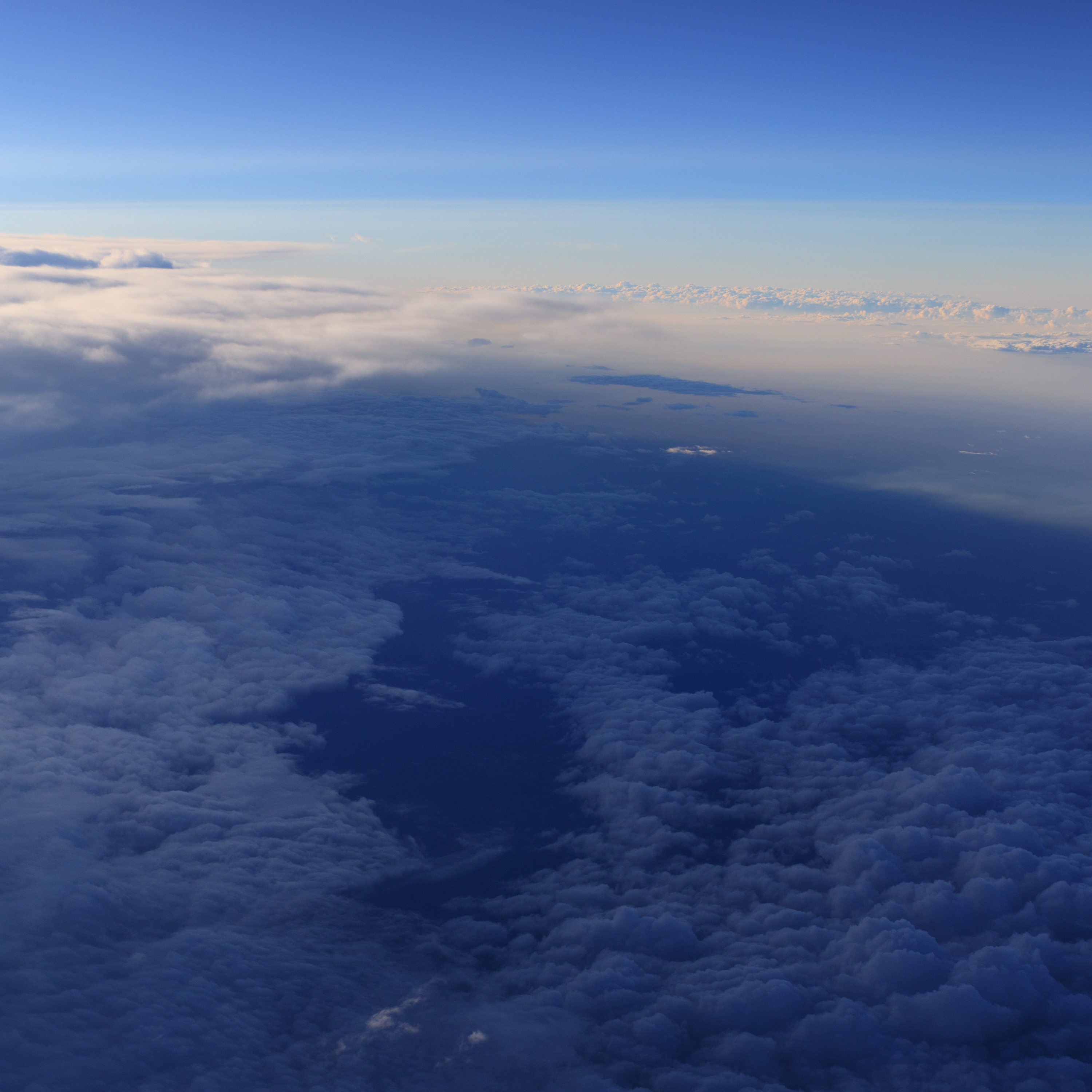
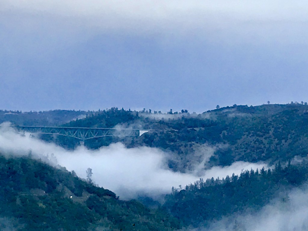
Aerial Views - Clouds above Auburn

Greyhound 6909 Colfax (MCI 102DL3)
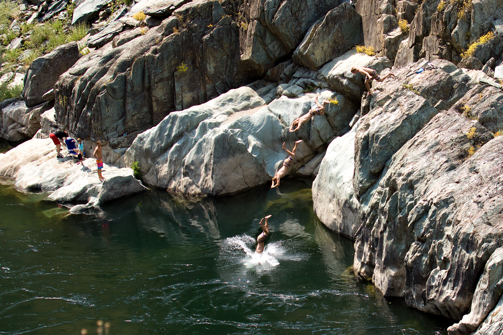
Summer Insanity 2737
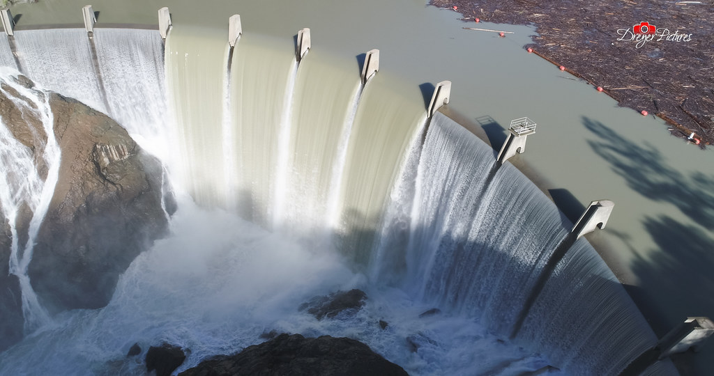
Clementine Dam - California
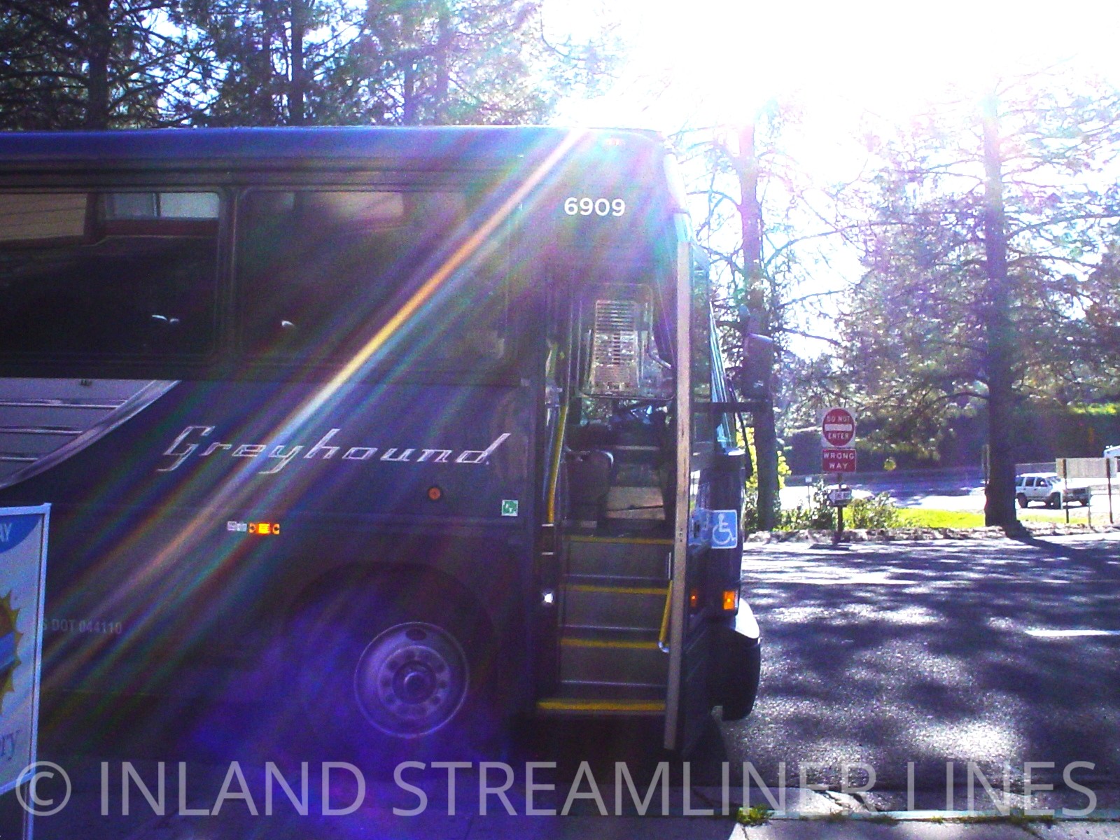
Greyhound 6909 Colfax (MCI 102DL3)

Fox Sparrow
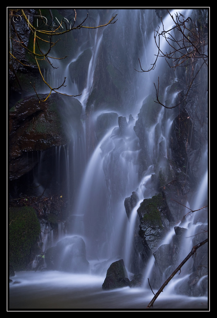
Grotto of the Falls
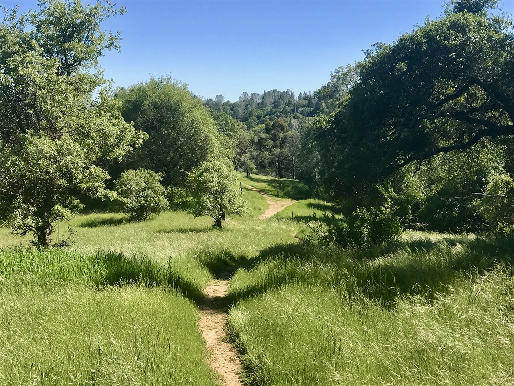
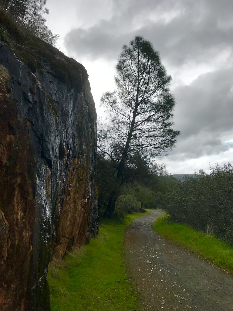
Trail View

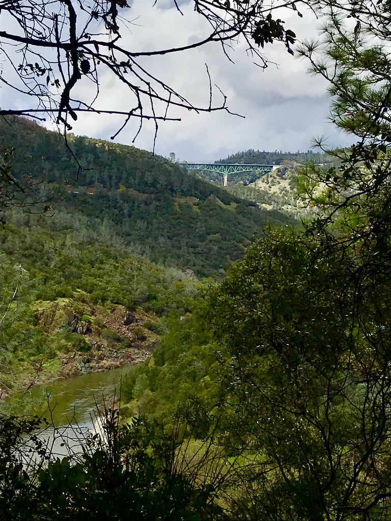
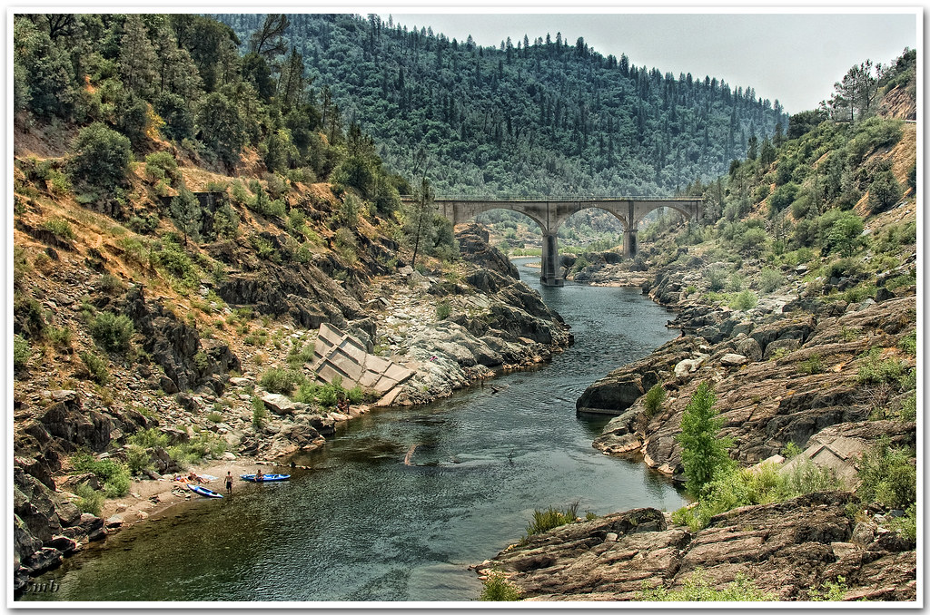
North Fork American River
Green. Blue. Good book. Good view. Perfect weather. #california #sunshine #view #peace #quiet
Mountain View
Canyon View Preserve
From the Gold Country
Best rear view ever

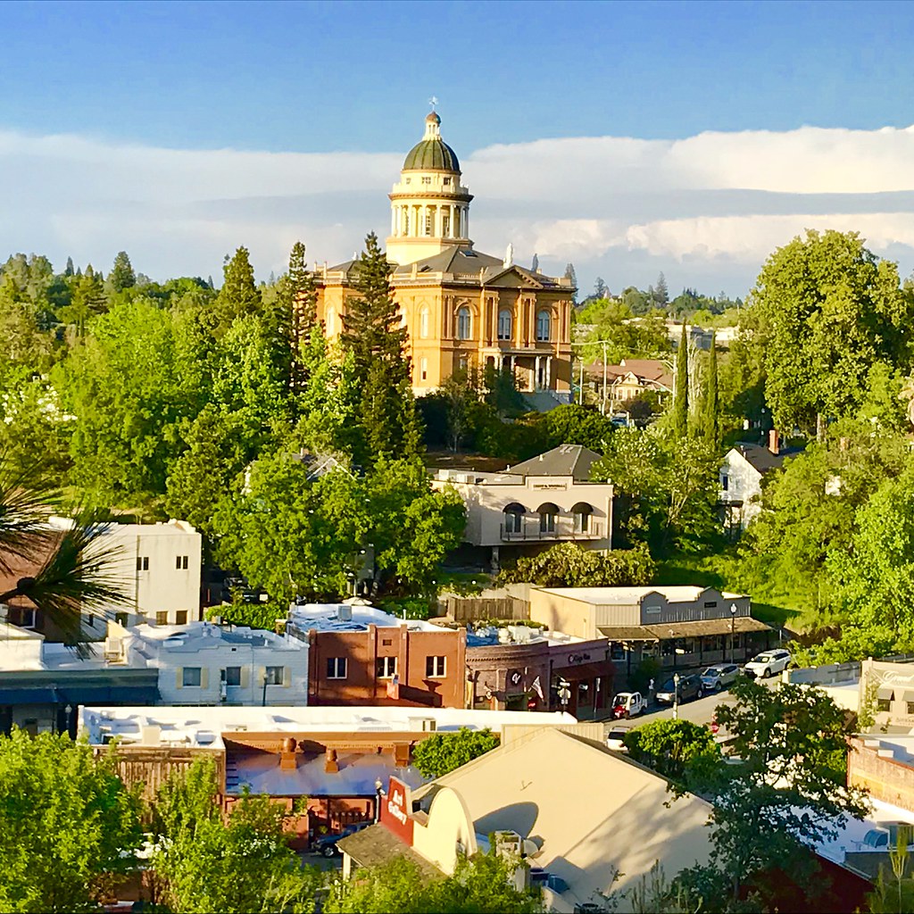
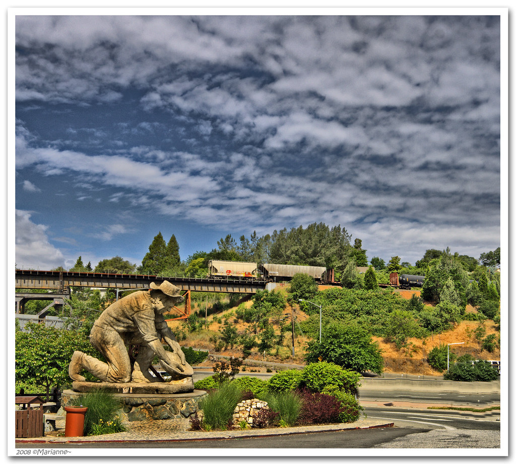
The Auburn Courthouse
No Hands Bridge

Devil's Falls (Grunge)

Yankee Jim's Waterfall
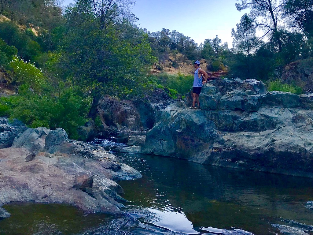
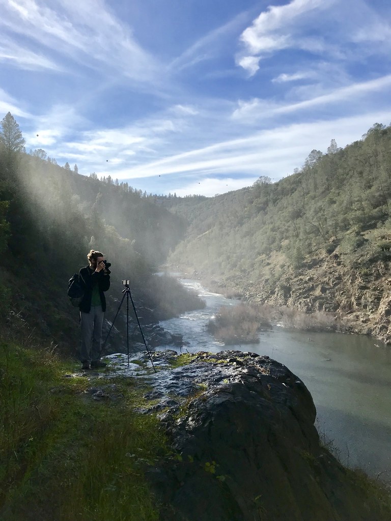
Bryan on the Rocks
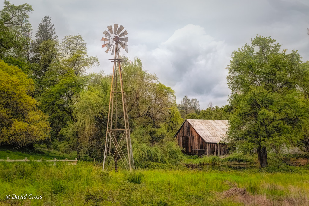
Down on the Farm

Falling Away

Cool Quarry
Forresthill Bridge
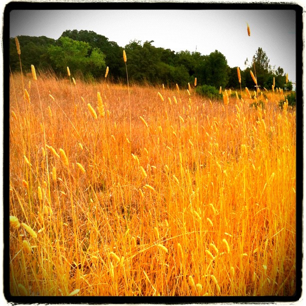
Amber waves
North Fork Photo Op
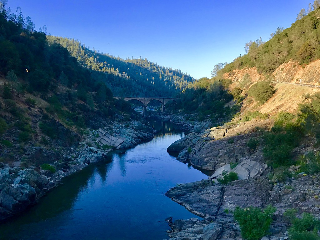
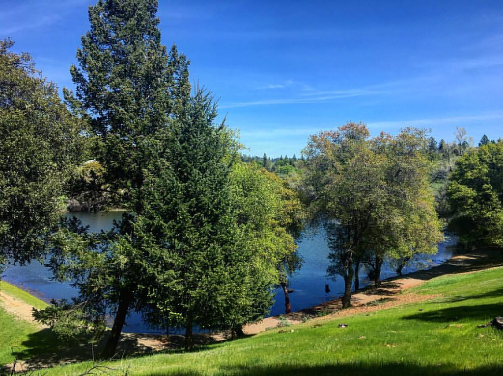
Morning on the American
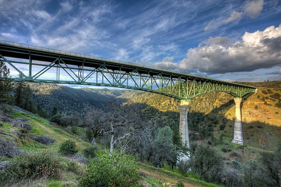
Foresthill Bridge

Hidden Falls
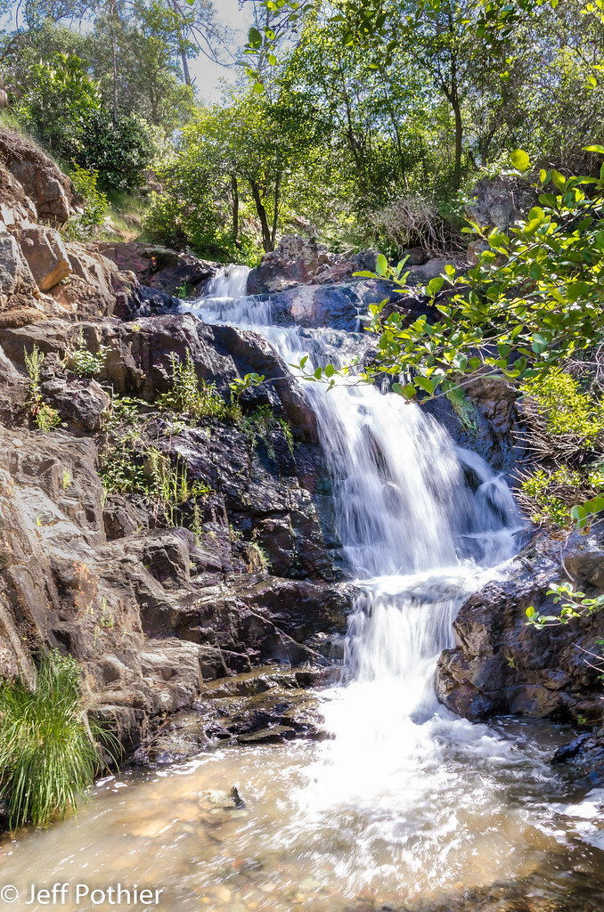
Hidden Falls
Trail Tree
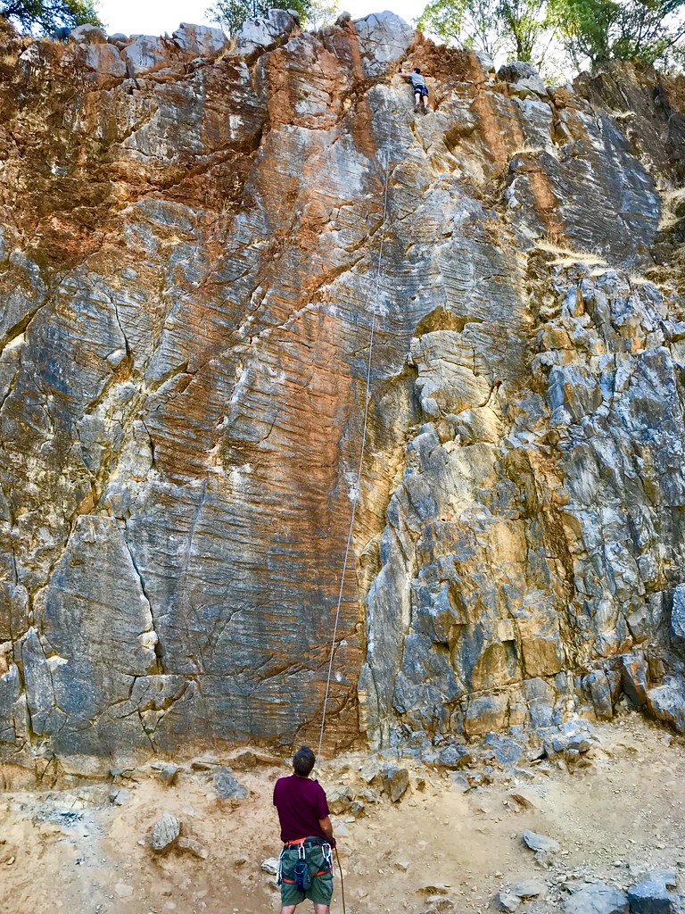
On Belay

Blue Breakthrough
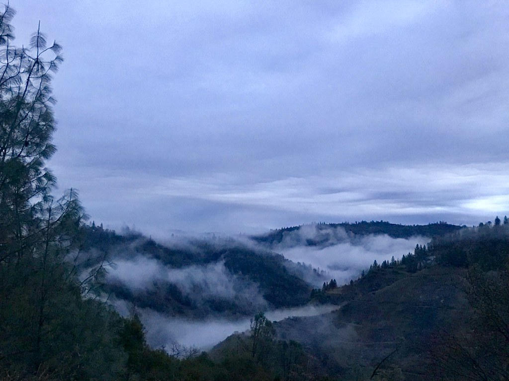
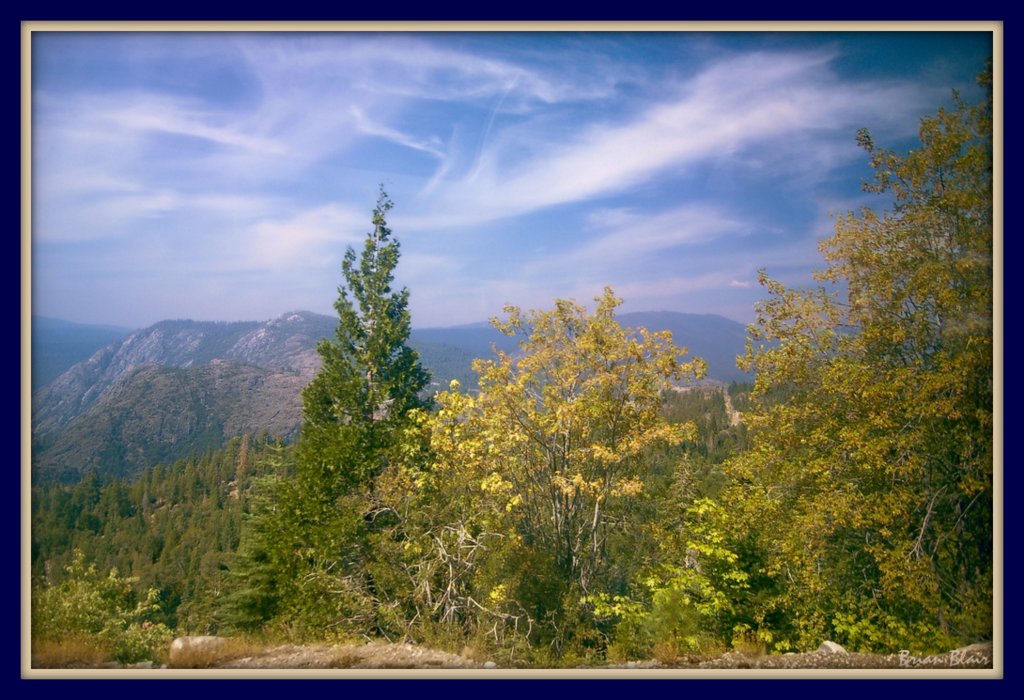
Canyon Clouds

Curtis.Tasker-2010.01.01-00.47.36-7441.jpg
Topographic Map of Nancy Dr, Auburn, CA, USA
Find elevation by address:

Places near Nancy Dr, Auburn, CA, USA:
Iron Mine Road
4757 Gava Ct
4750 Gava Ct
3280 Christian Valley Rd
3710 Christian Valley Rd
2537 Gayle Ln
The Point
Winchester Country Club - Sales Office
Mcelroy Road
Mcelroy Road
2700 Campbell Dr
1431 Lodge View Dr
5200 Oak Springs Ct
1535 Ridgemore Dr
1530 Ridgemore Dr
Campbell Drive
14510 Mcelroy Rd
1425 Shadow Rock Dr
5697 Stanley Dr
5245 Morningside Ave
Recent Searches:
- Elevation of Congressional Dr, Stevensville, MD, USA
- Elevation of Bellview Rd, McLean, VA, USA
- Elevation of Stage Island Rd, Chatham, MA, USA
- Elevation of Shibuya Scramble Crossing, 21 Udagawacho, Shibuya City, Tokyo -, Japan
- Elevation of Jadagoniai, Kaunas District Municipality, Lithuania
- Elevation of Pagonija rock, Kranto 7-oji g. 8"N, Kaunas, Lithuania
- Elevation of Co Rd 87, Jamestown, CO, USA
- Elevation of Tenjo, Cundinamarca, Colombia
- Elevation of Côte-des-Neiges, Montreal, QC H4A 3J6, Canada
- Elevation of Bobcat Dr, Helena, MT, USA