Elevation of Coker Rd, Hayneville, AL, USA
Location: United States > Alabama >
Longitude: -86.658709
Latitude: 32.0865451
Elevation: 97m / 318feet
Barometric Pressure: 100KPa
Elevation Map:
Satellite Map:
Related Photos:
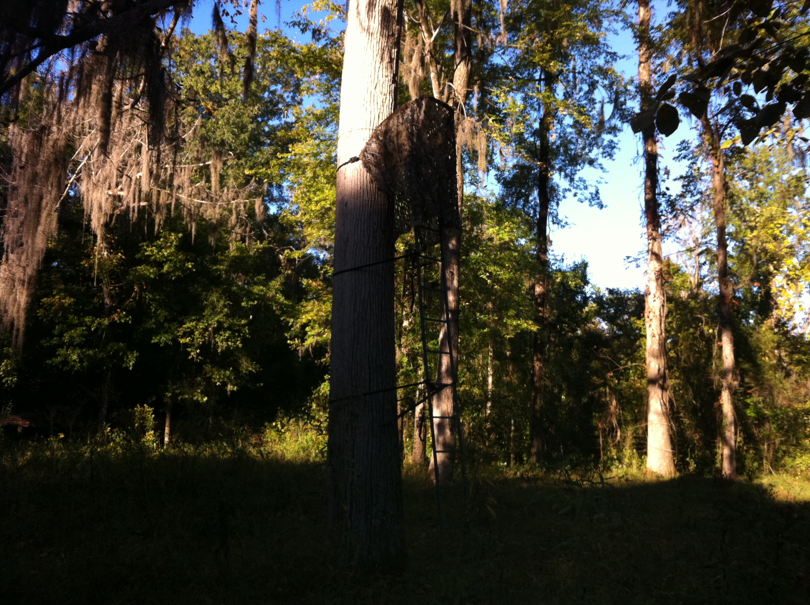
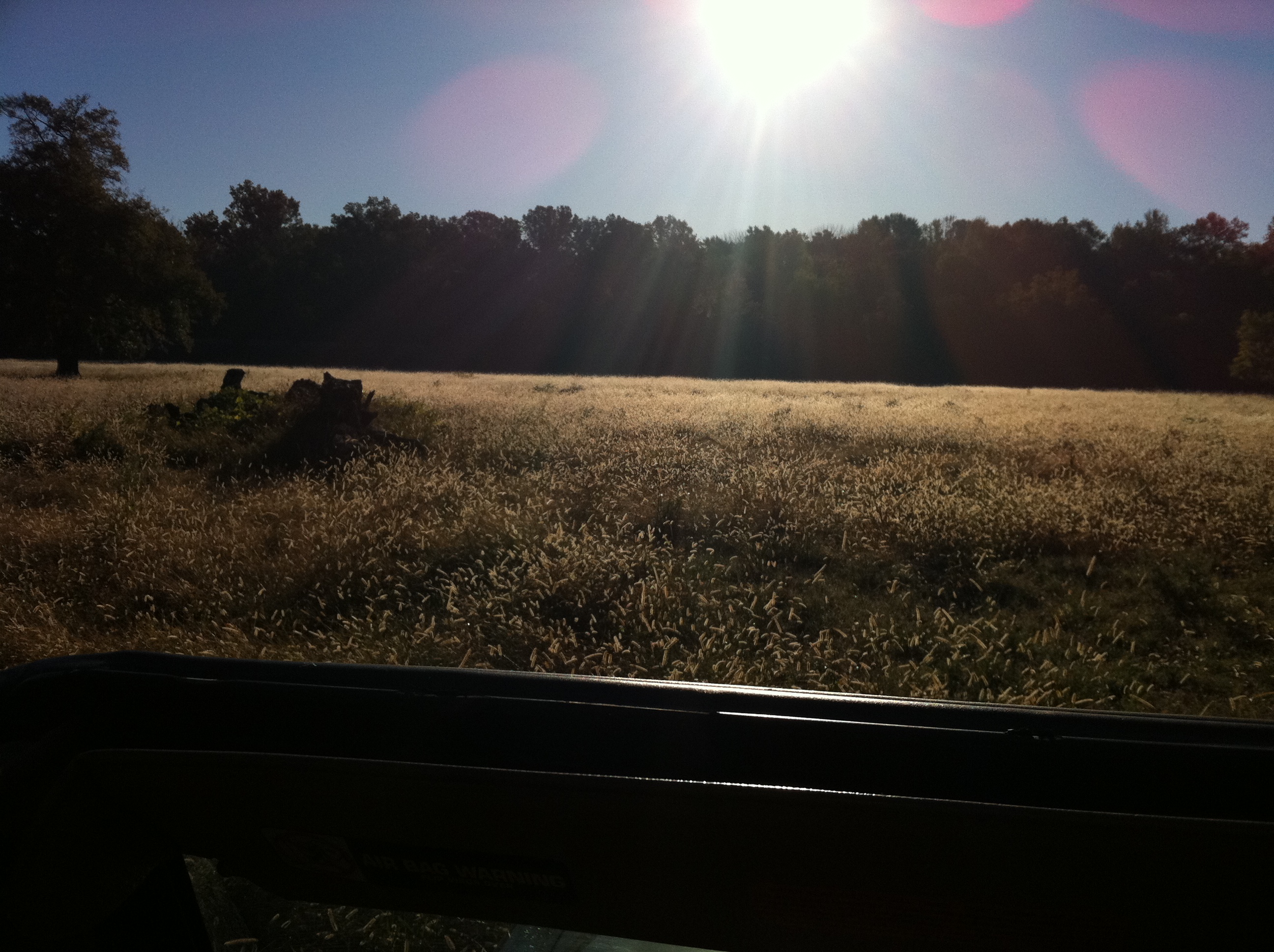
_DSC0161.jpg
_DSC0533.jpg
_DSC0017.jpg

the light at Letohatchee

_DSC0532.jpg

_DSC0348.jpg
_DSC0547.jpg
Letohatchee Nov. 2010

Here, fishy fishy
Letohatchee Nov. 2010
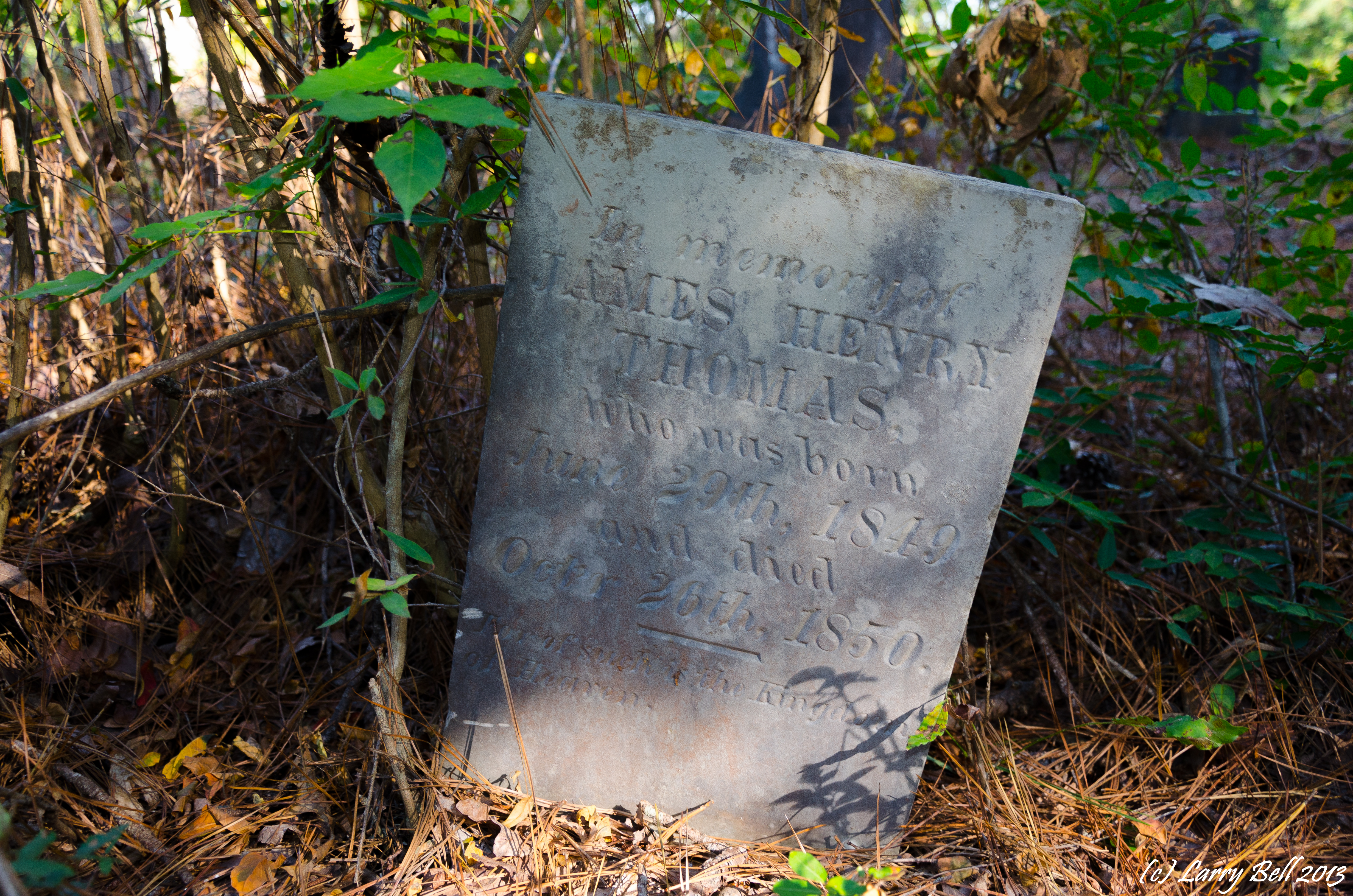
_DSC0534.jpg
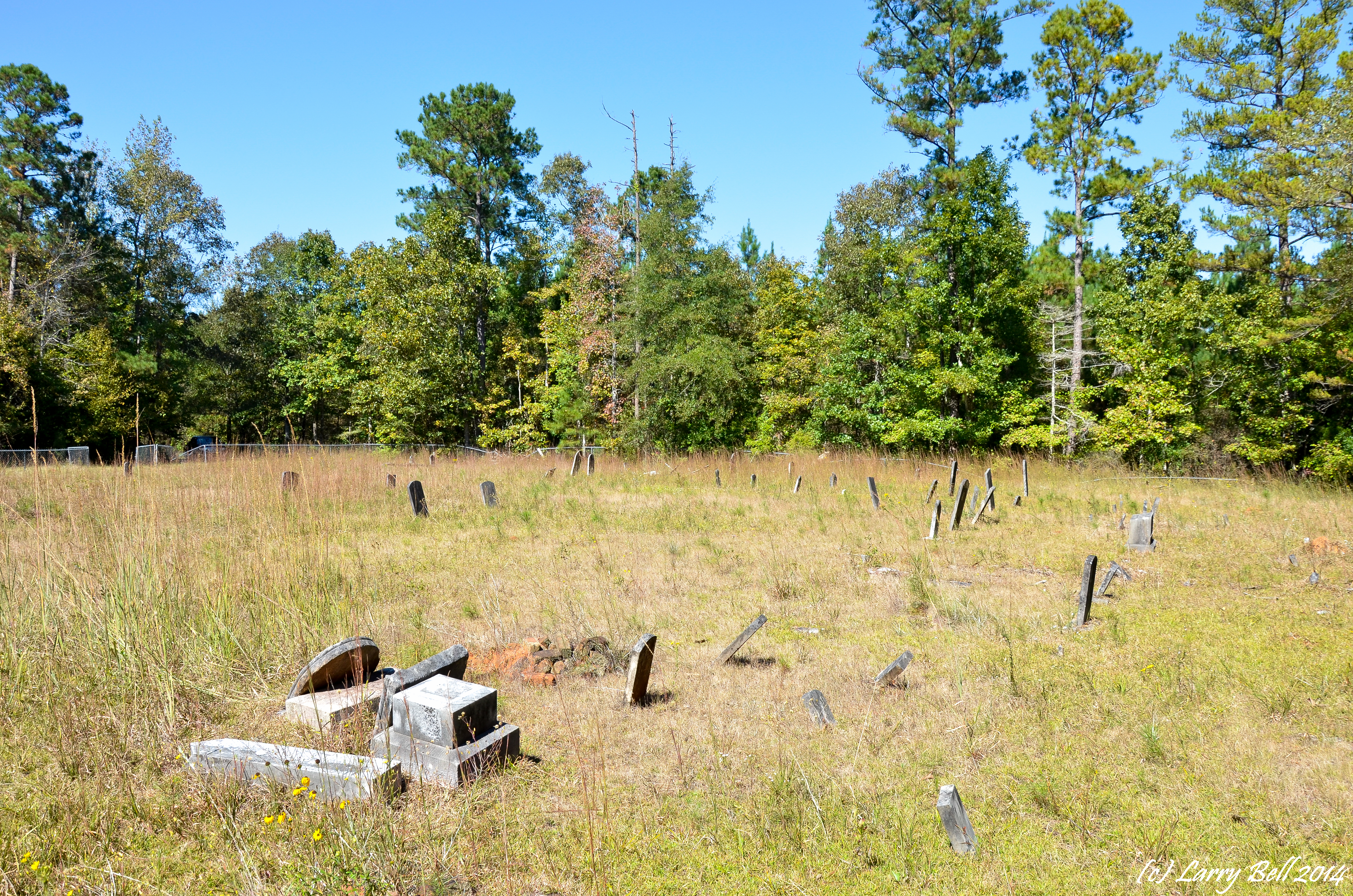
_DSC0274.jpg
_DSC0042.jpg
Topographic Map of Coker Rd, Hayneville, AL, USA
Find elevation by address:

Places near Coker Rd, Hayneville, AL, USA:
Hayneville
W Tuskeena St, Hayneville, AL, USA
Lowndes County
Lowndesboro
S Broad St, Lowndesboro, AL, USA
70 Judge Rd
2395 Airport Rd
1524 Co Rd 75
Co Rd 26, Hope Hull, AL, USA
661 Montgomery Hwy
W Hickory Grove Rd, Letohatchee, AL, USA
Greenville
Pineapple Hwy, Greenville, AL, USA
Pleasant Hill
Pleasant Hill
Prairie Creek Road
409 Poor House Rd
Bottlerock Road
1743 Aztec Rd
Mason Rd, Hope Hull, AL, USA
Recent Searches:
- Elevation of Corso Fratelli Cairoli, 35, Macerata MC, Italy
- Elevation of Tallevast Rd, Sarasota, FL, USA
- Elevation of 4th St E, Sonoma, CA, USA
- Elevation of Black Hollow Rd, Pennsdale, PA, USA
- Elevation of Oakland Ave, Williamsport, PA, USA
- Elevation of Pedrógão Grande, Portugal
- Elevation of Klee Dr, Martinsburg, WV, USA
- Elevation of Via Roma, Pieranica CR, Italy
- Elevation of Tavkvetili Mountain, Georgia
- Elevation of Hartfords Bluff Cir, Mt Pleasant, SC, USA