Elevation of Co Rd 26, Hope Hull, AL, USA
Location: United States > Alabama > Lowndes County > Hope Hull >
Longitude: -86.447072
Latitude: 32.1874195
Elevation: 66m / 217feet
Barometric Pressure: 101KPa
Elevation Map:
Satellite Map:
Related Photos:
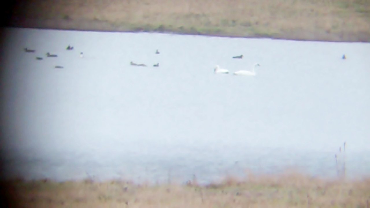
Tundra Swan (Rare)
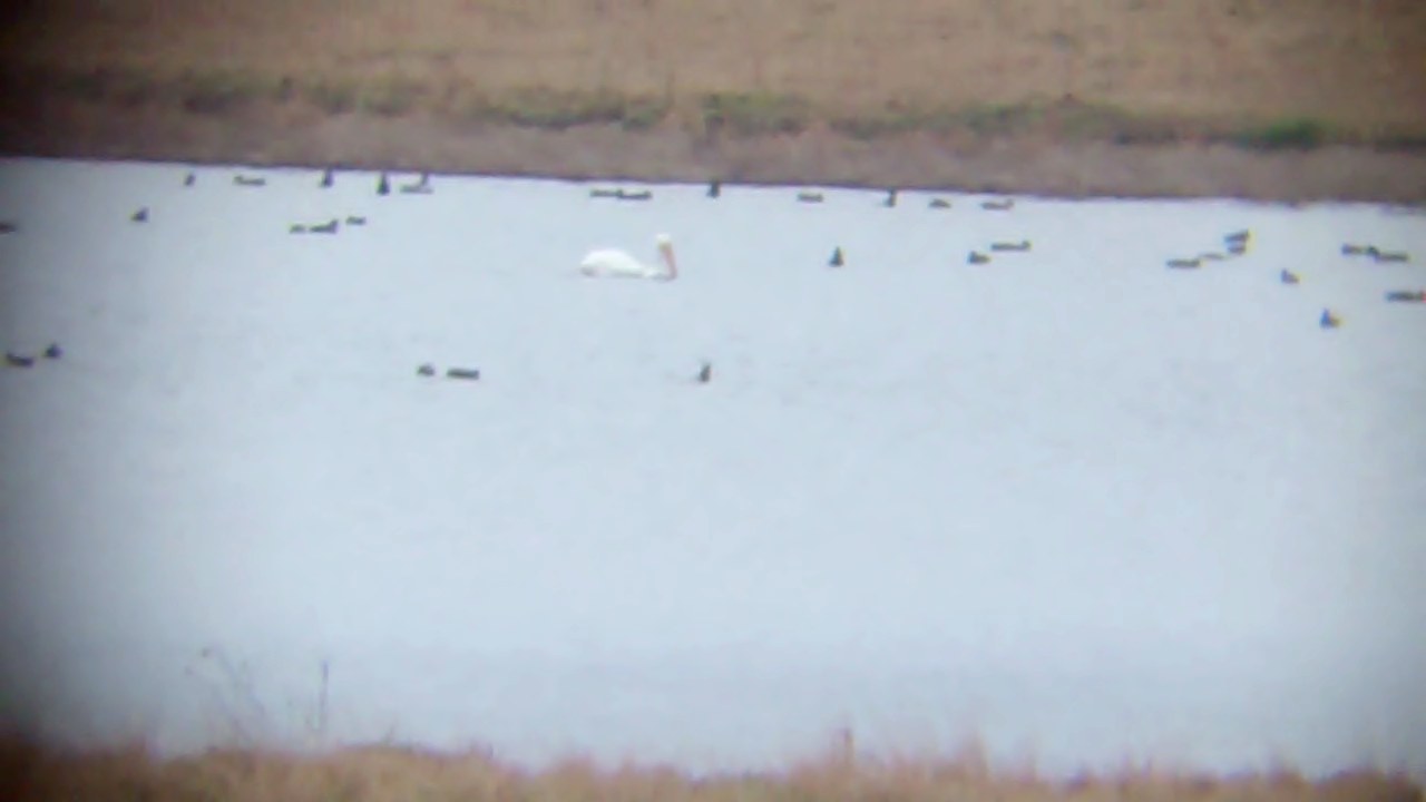
White Pelican

Tundra Swan, Montgomery Co. AL, Jan 1st 2014 by Brayden Paulk

P1010432.jpg

P1010433.jpg

#ALABAMA #Alwx #clouds

P1010431.jpg

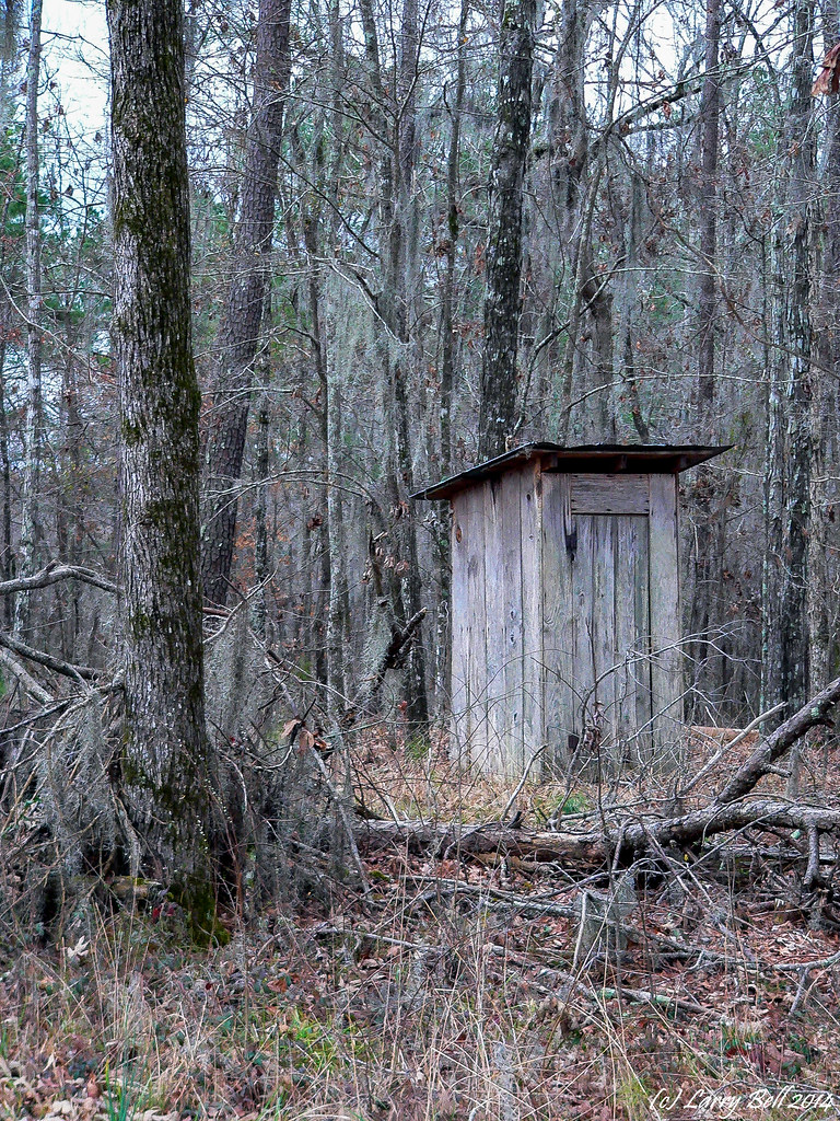
Old Federal Road

Old Federal Road
P1010430.jpg
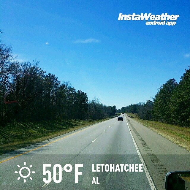
Photo made by Instaweather Free App! @instaweatherpro #instaweather #instaweatherpro #weather #wx #android #letohatchee #al #day #winter #clear #afternoon #hot #al

Old Federal Road
Topographic Map of Co Rd 26, Hope Hull, AL, USA
Find elevation by address:

Places near Co Rd 26, Hope Hull, AL, USA:
70 Judge Rd
Mason Rd, Hope Hull, AL, USA
544 W Mclean Rd
Hope Hull
Selma Hwy, Montgomery, AL, USA
Eldorado Parkway
Cantelou Rd, Montgomery, AL, USA
Woodcrest Dr, Montgomery, AL, USA
Norman Bridge Rd, Montgomery, AL, USA
E Pleasant Grove Rd, Montgomery, AL, USA
Norman Bridge Rd, Montgomery, AL, USA
971 Ridgecrest St
State Rte, Montgomery, AL, USA
5290 Hobbie Rd
Hobbie Rd, Montgomery, AL, USA
Brookwood, Montgomery, AL, USA
Woodley Rd, Montgomery, AL, USA
Capwood Curve, Montgomery, AL, USA
Chip Curve, Montgomery, AL, USA
953 Mizell Dr
Recent Searches:
- Elevation of Elwyn Dr, Roanoke Rapids, NC, USA
- Elevation of Congressional Dr, Stevensville, MD, USA
- Elevation of Bellview Rd, McLean, VA, USA
- Elevation of Stage Island Rd, Chatham, MA, USA
- Elevation of Shibuya Scramble Crossing, 21 Udagawacho, Shibuya City, Tokyo -, Japan
- Elevation of Jadagoniai, Kaunas District Municipality, Lithuania
- Elevation of Pagonija rock, Kranto 7-oji g. 8"N, Kaunas, Lithuania
- Elevation of Co Rd 87, Jamestown, CO, USA
- Elevation of Tenjo, Cundinamarca, Colombia
- Elevation of Côte-des-Neiges, Montreal, QC H4A 3J6, Canada