Elevation of Codsall Wood, Wolverhampton, Staffordshire WV8, UK
Location: United Kingdom > England > Staffordshire > South Staffordshire District > Codsall >
Longitude: -2.2268733
Latitude: 52.6431118
Elevation: 148m / 486feet
Barometric Pressure: 100KPa
Elevation Map:
Satellite Map:
Related Photos:

Blue, green, yellow, brown
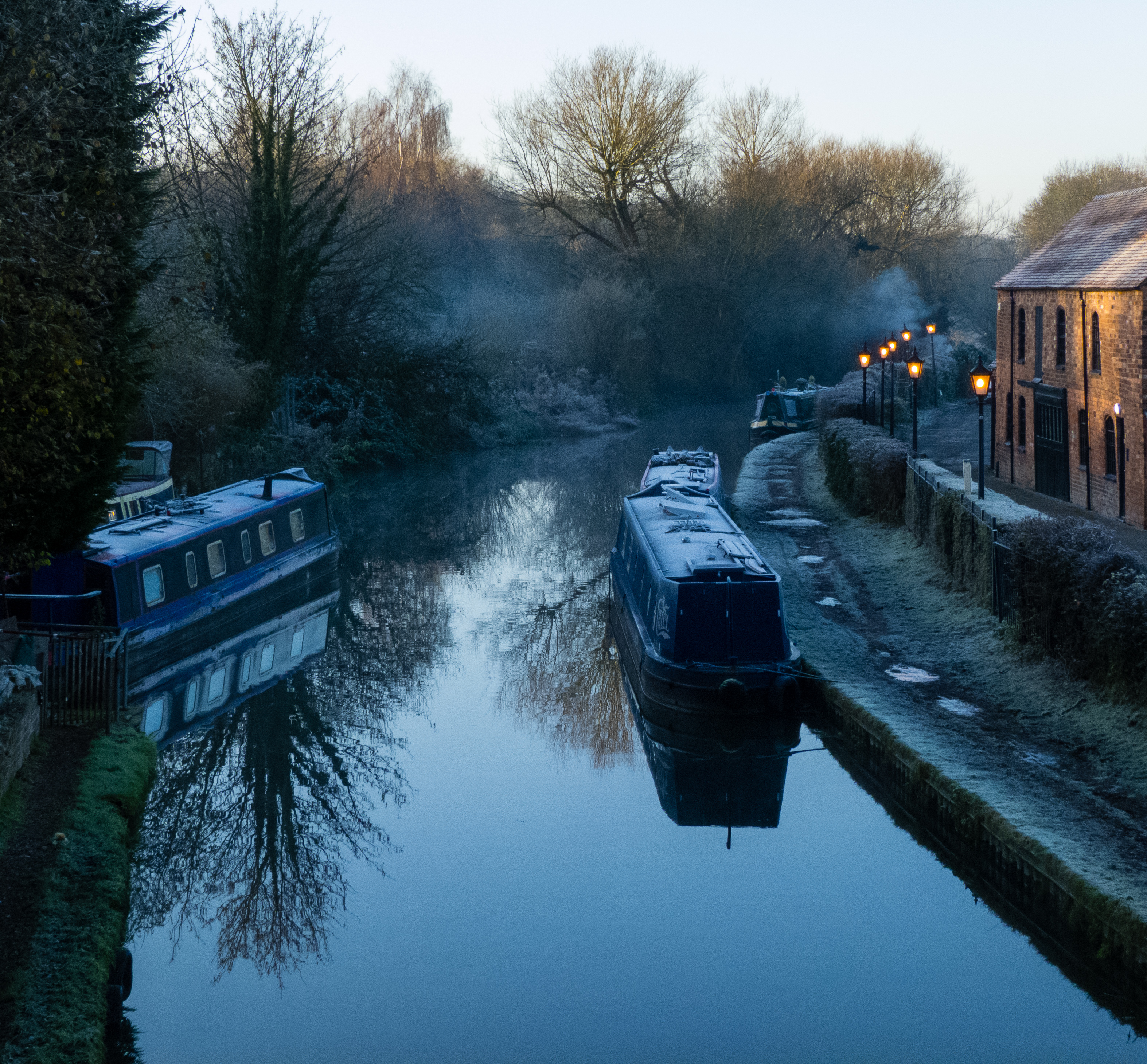
Frosty, misty morning - view from Compton bridge
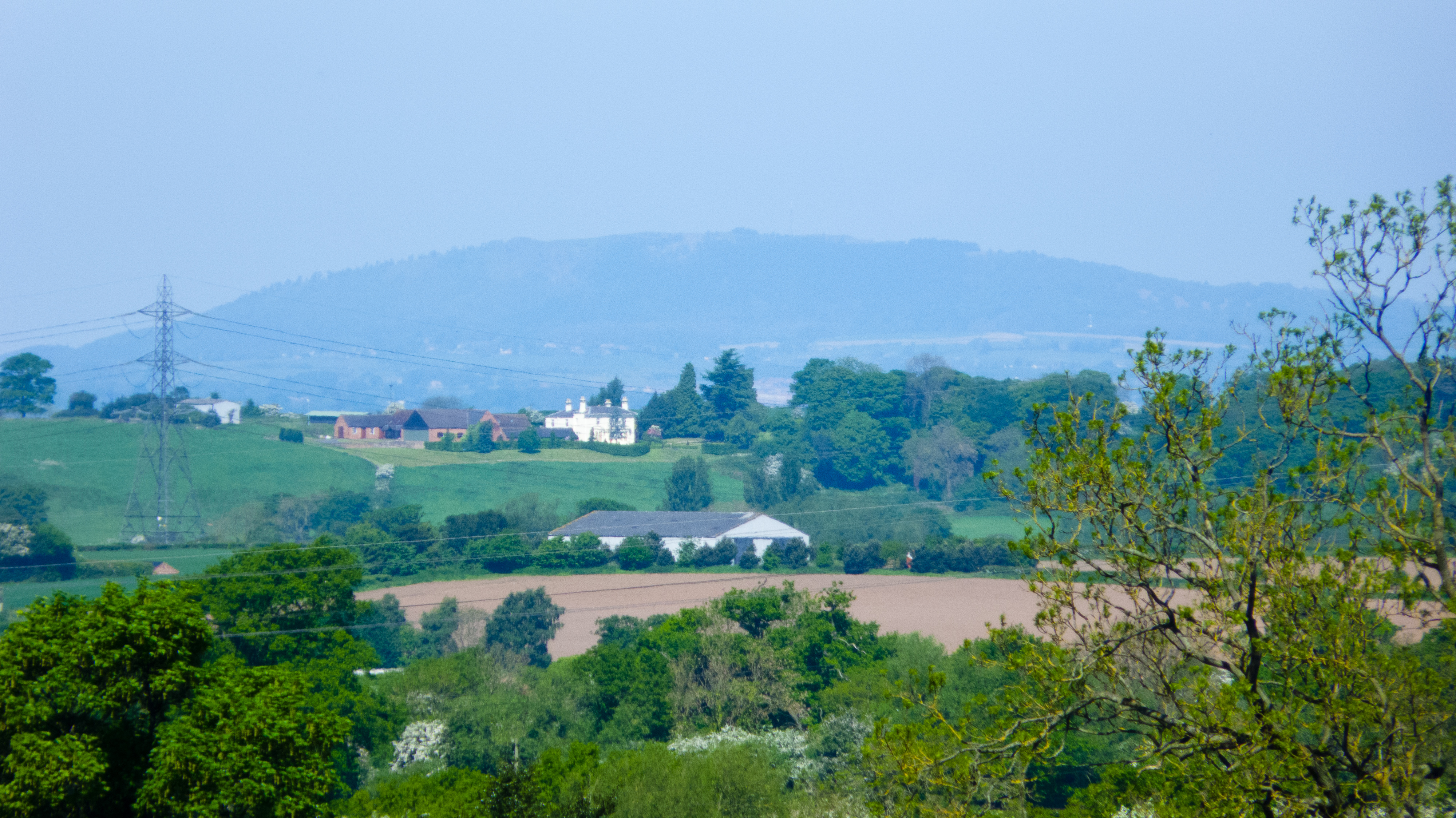
Wrekin: view from Lower Penn

View over Bushbury on a misty morning
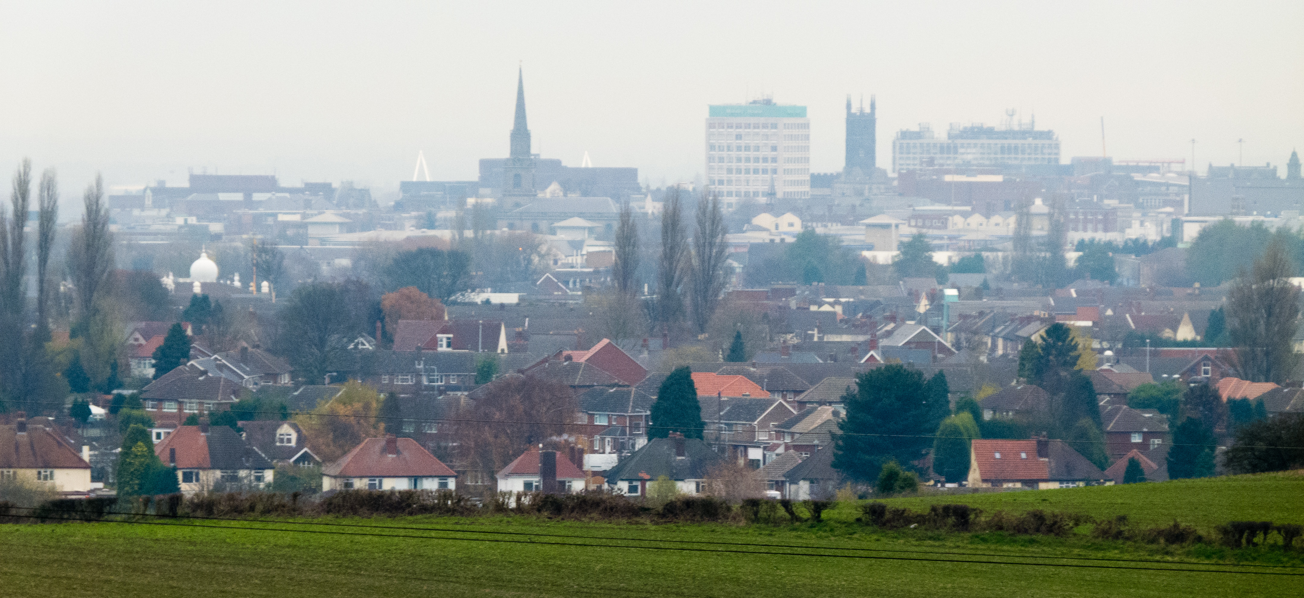
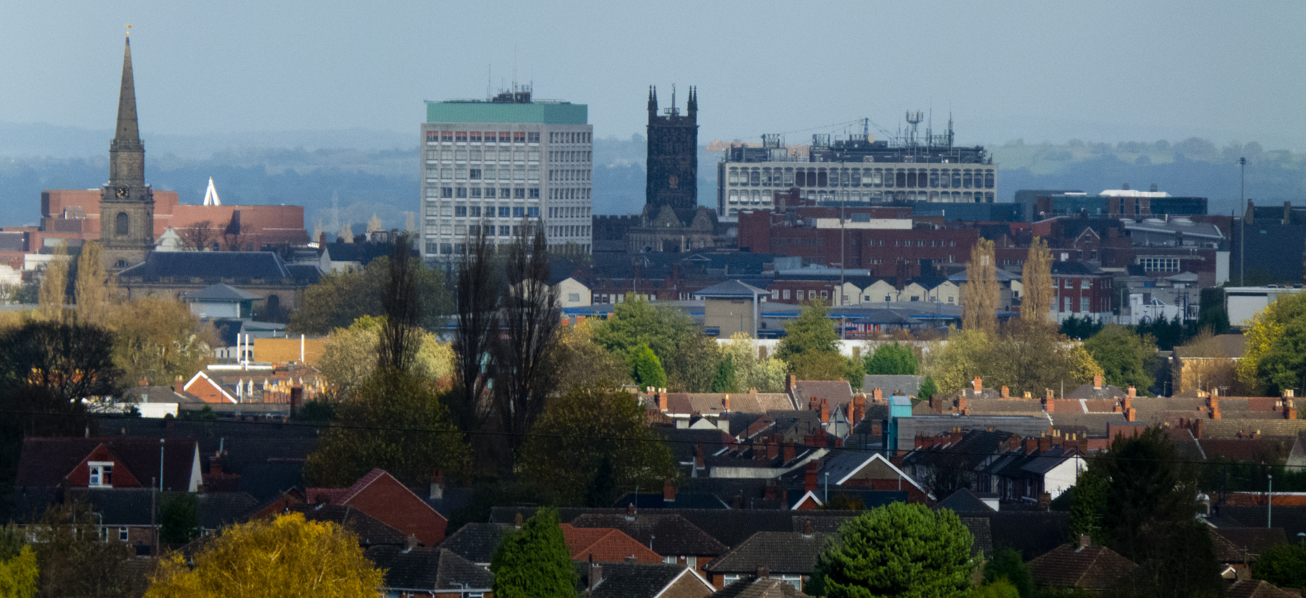
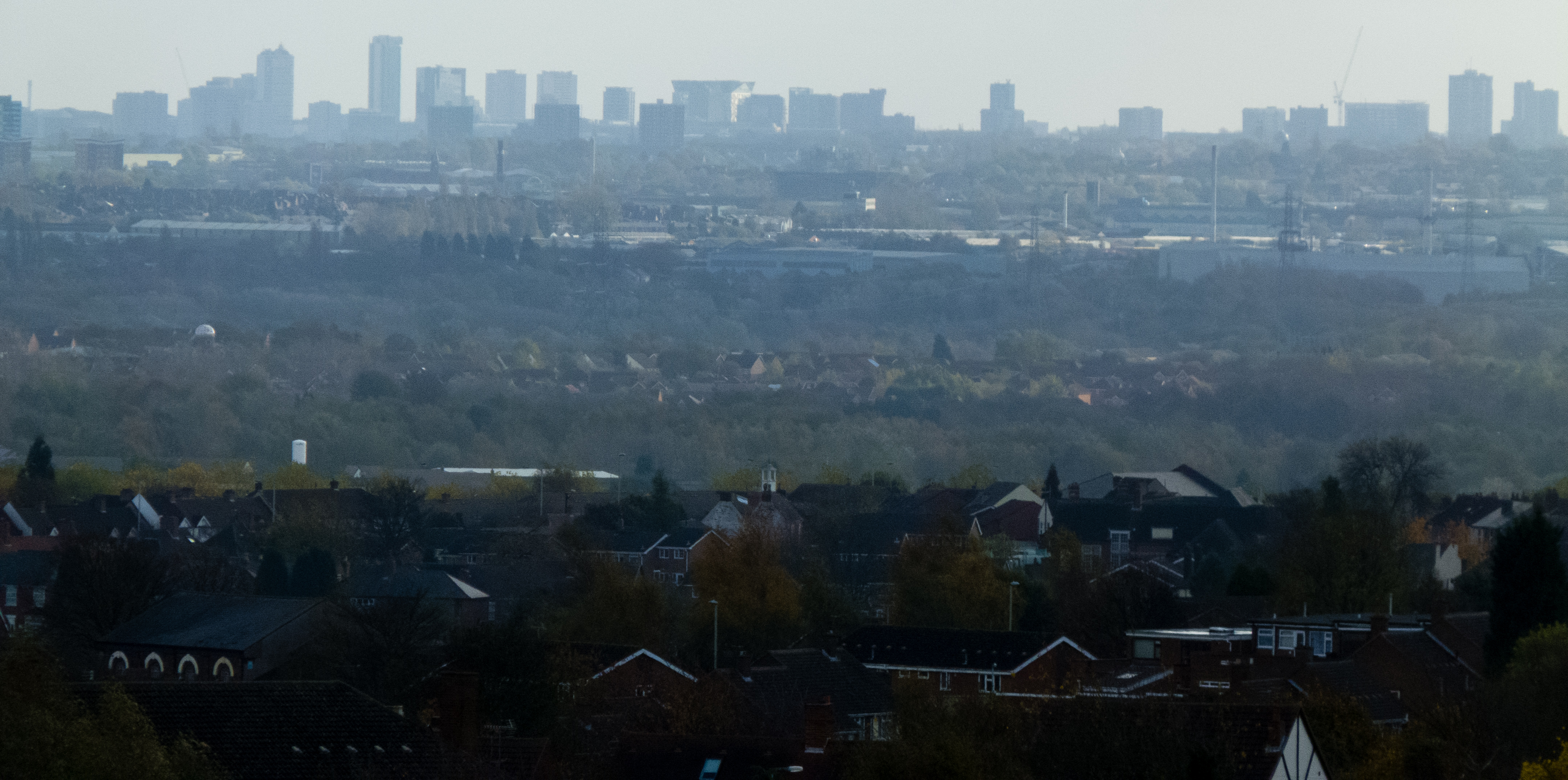
Distant view of Wolverhampton city centre
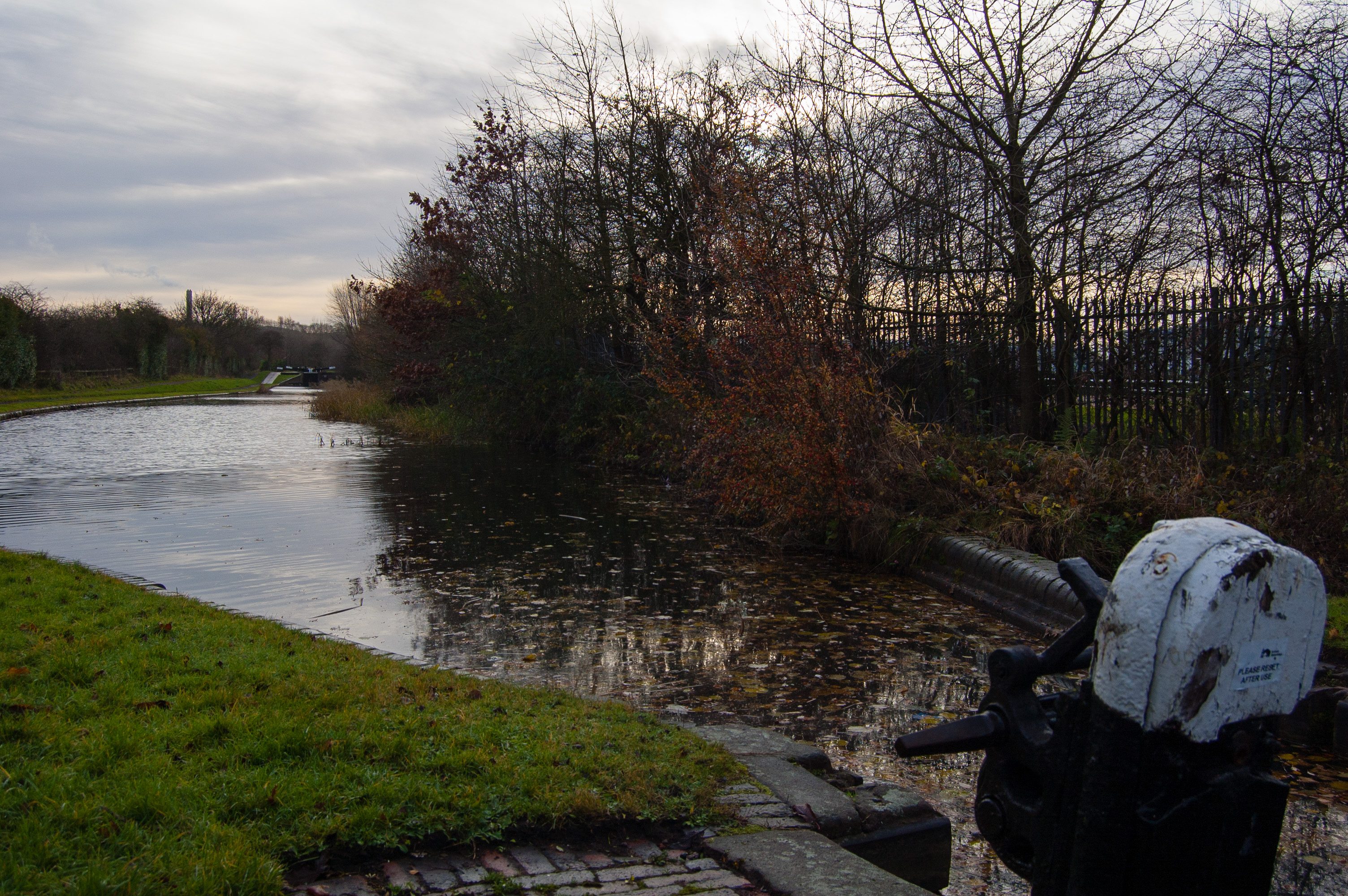
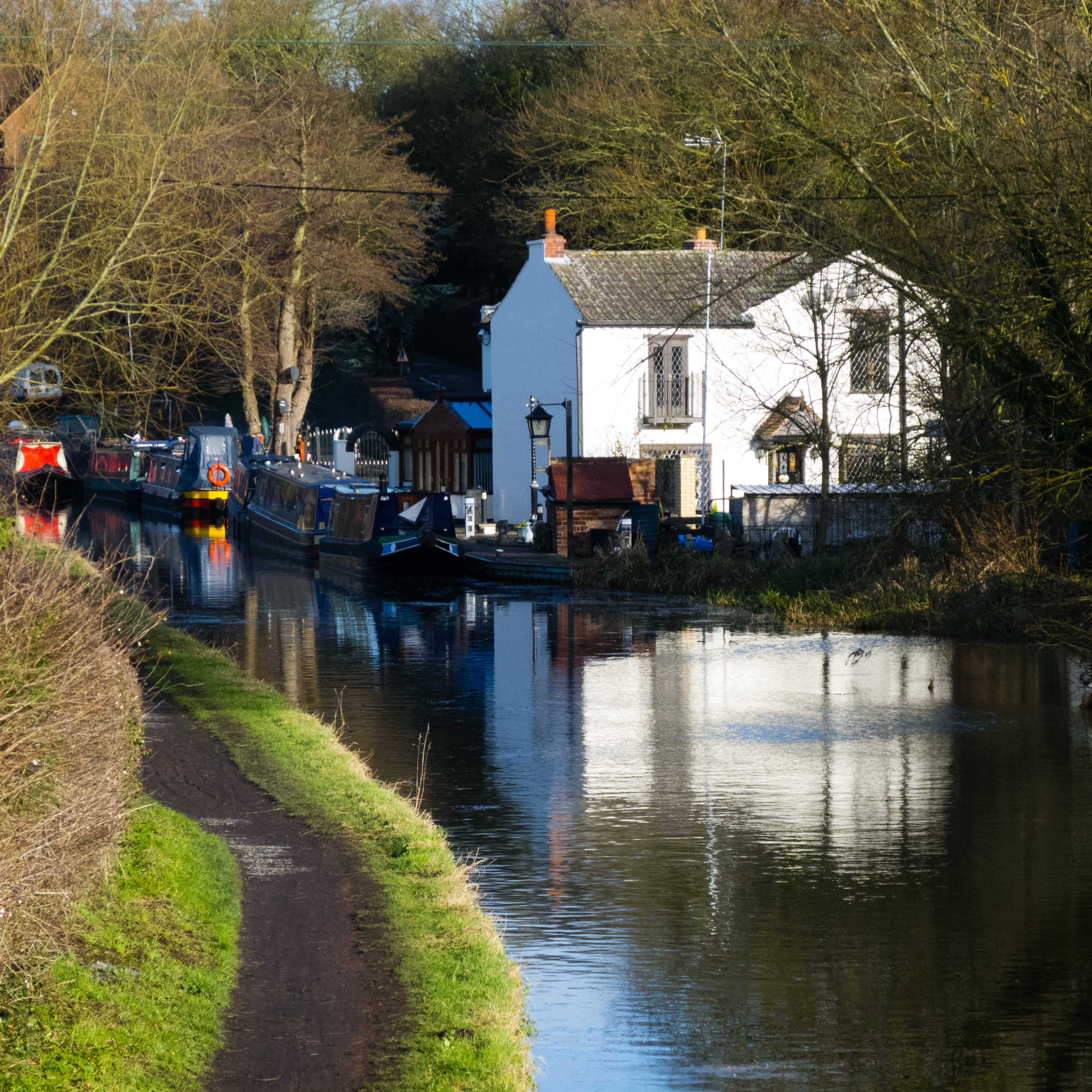
View from Lock 19
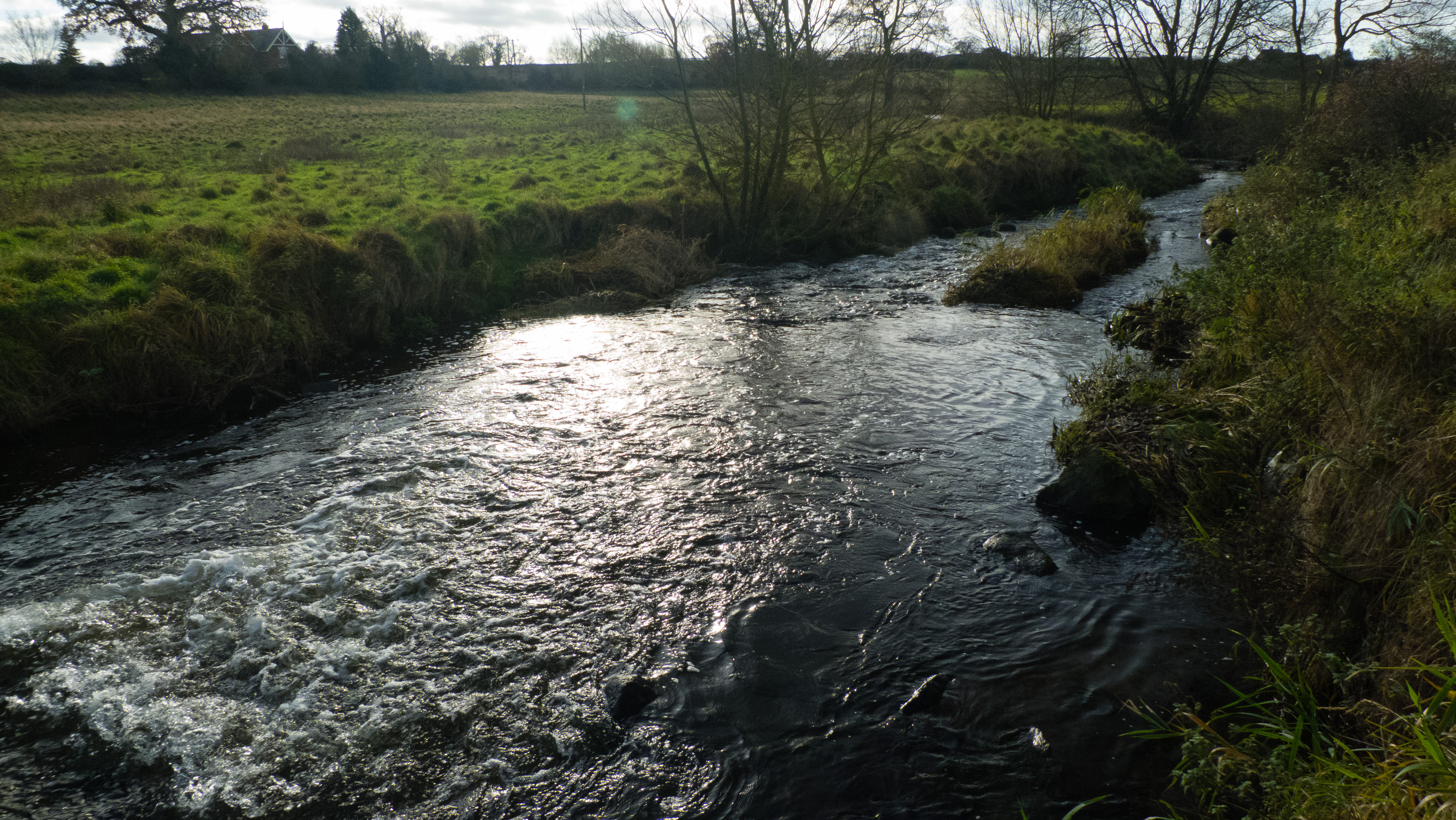
Trescott ford
View from canal bridge: Hinksford Wharf
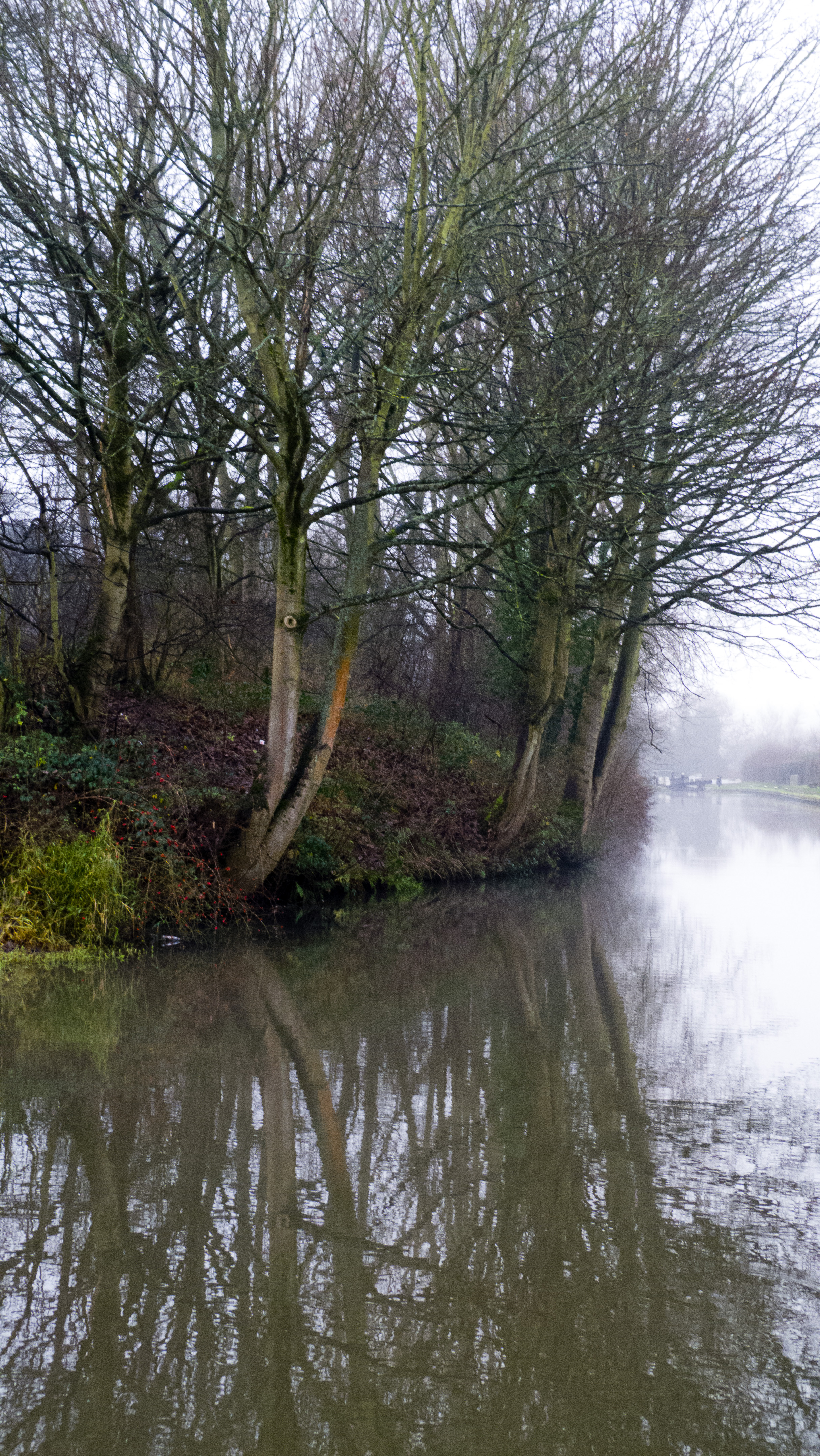
Wightwick Mill Lock, mist
View from Sedgley Beacon towards Wolverhampton city centre
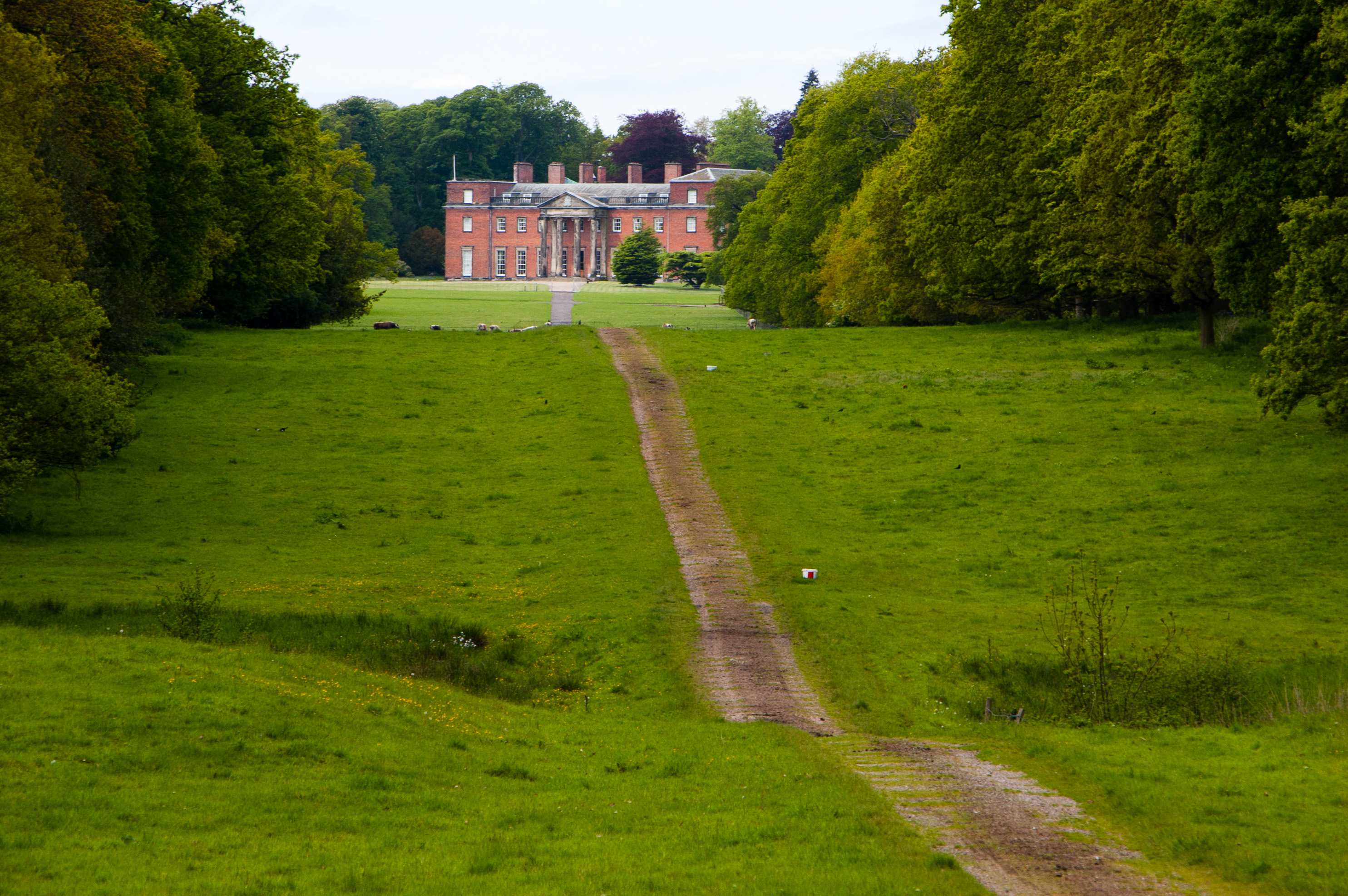
View towards Chillington Hall
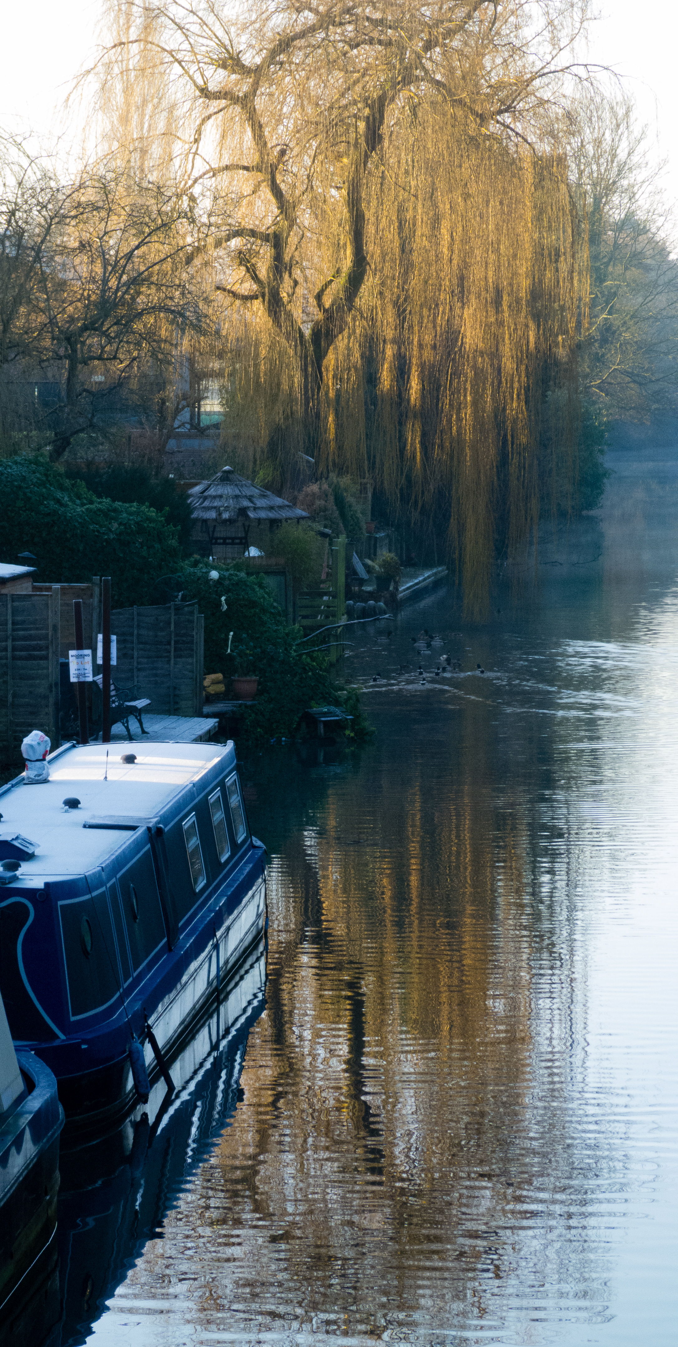
View from canal bridge: sunlit willow

Wightwick Mill Lock, mist
View from Sedgley Beacon towards Birmingham
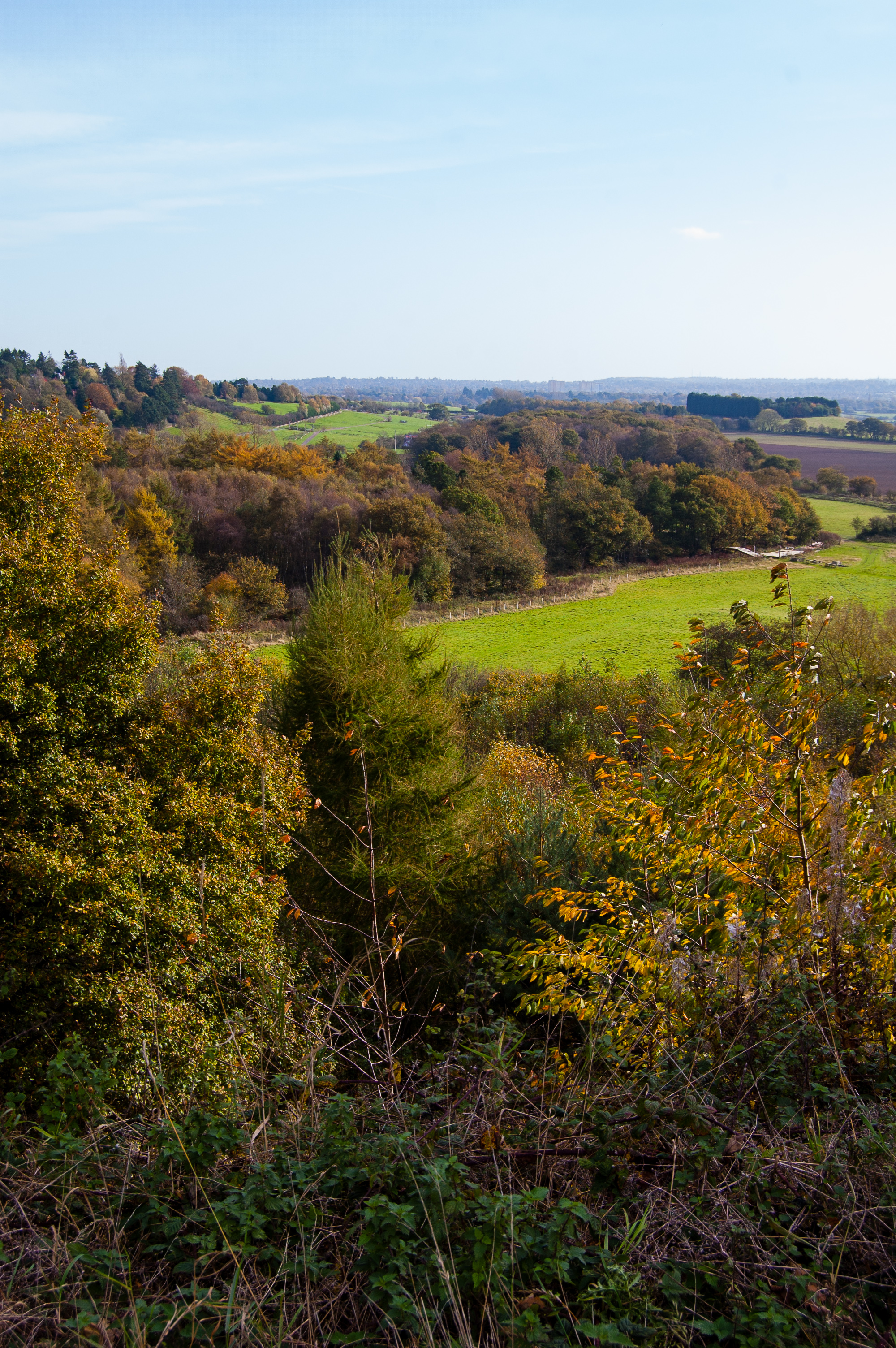
Perton ridge, autumnal view
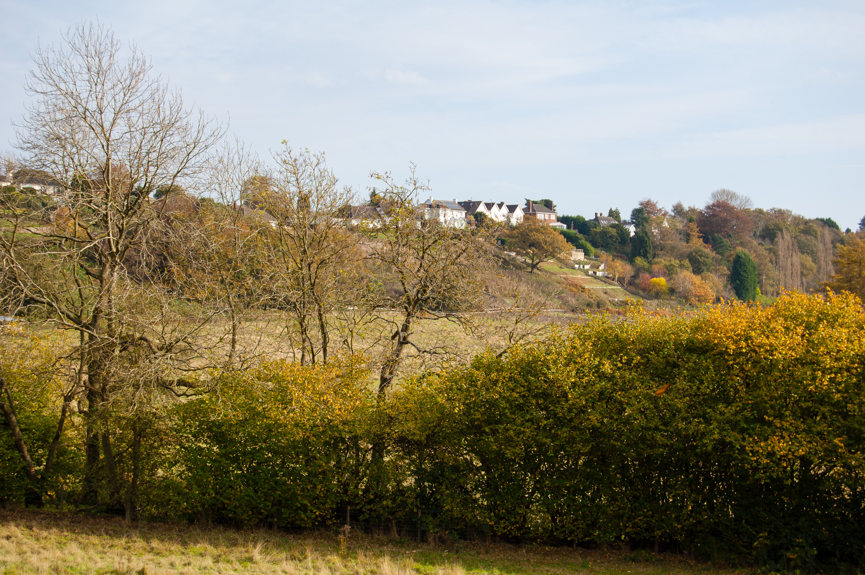
Perton ridge, autumnal view
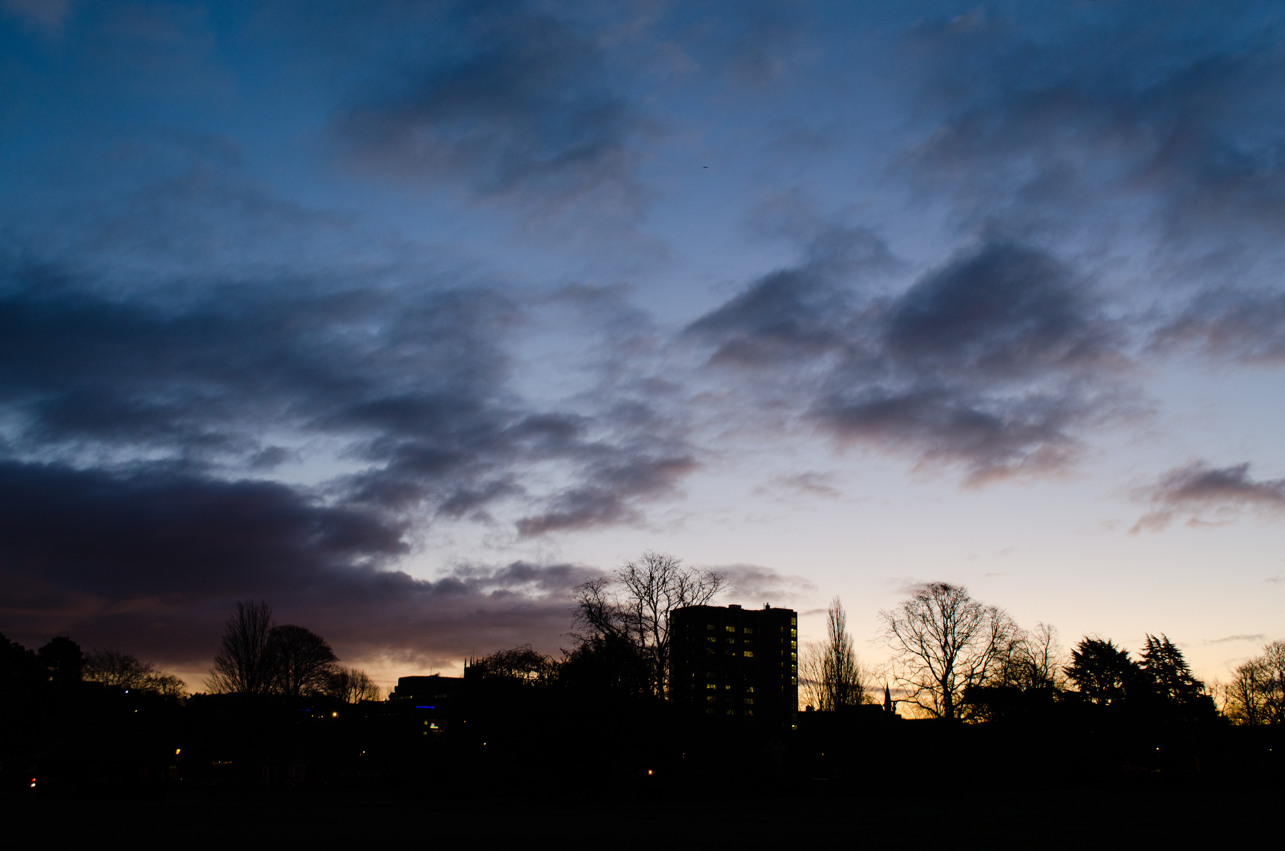
Wolverhampton city centre
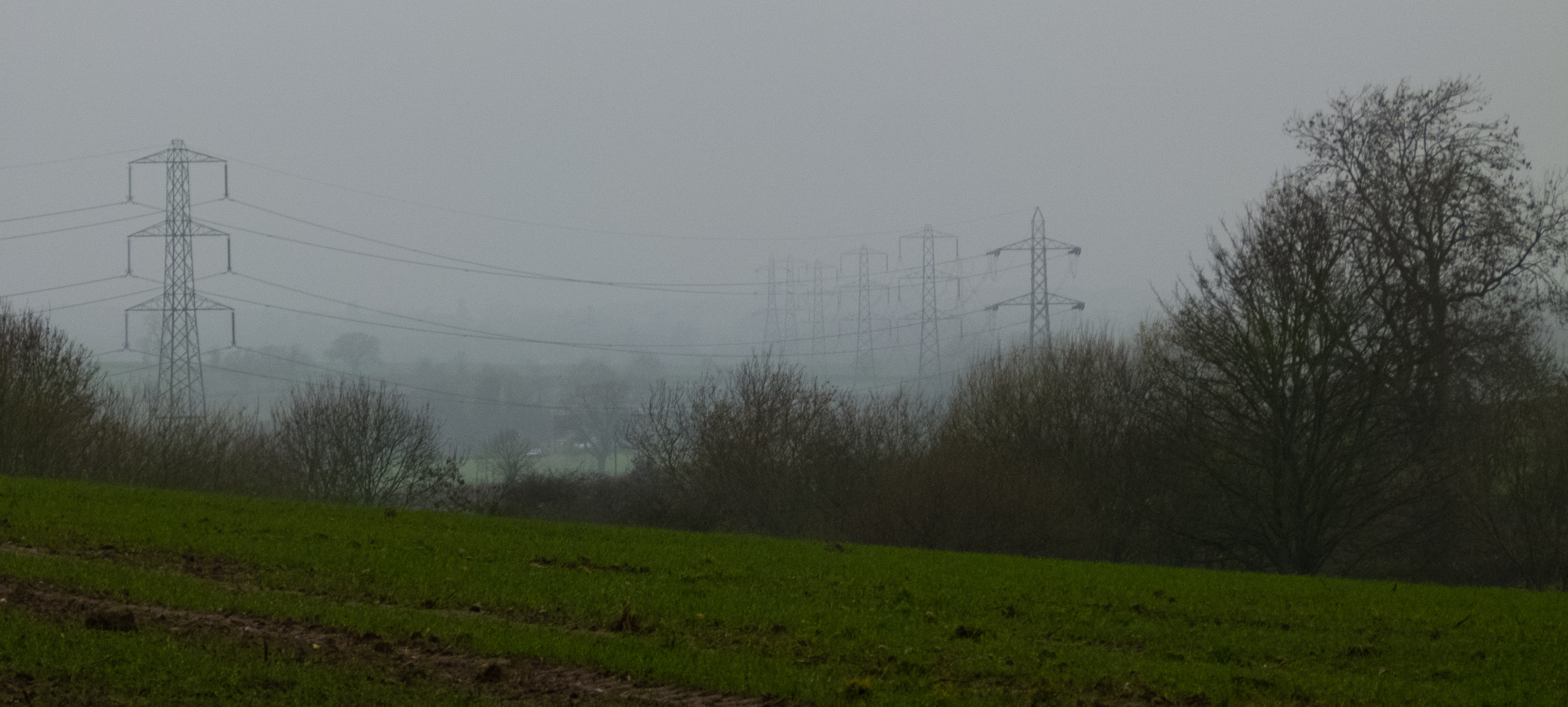
Misty day view, Pattingham
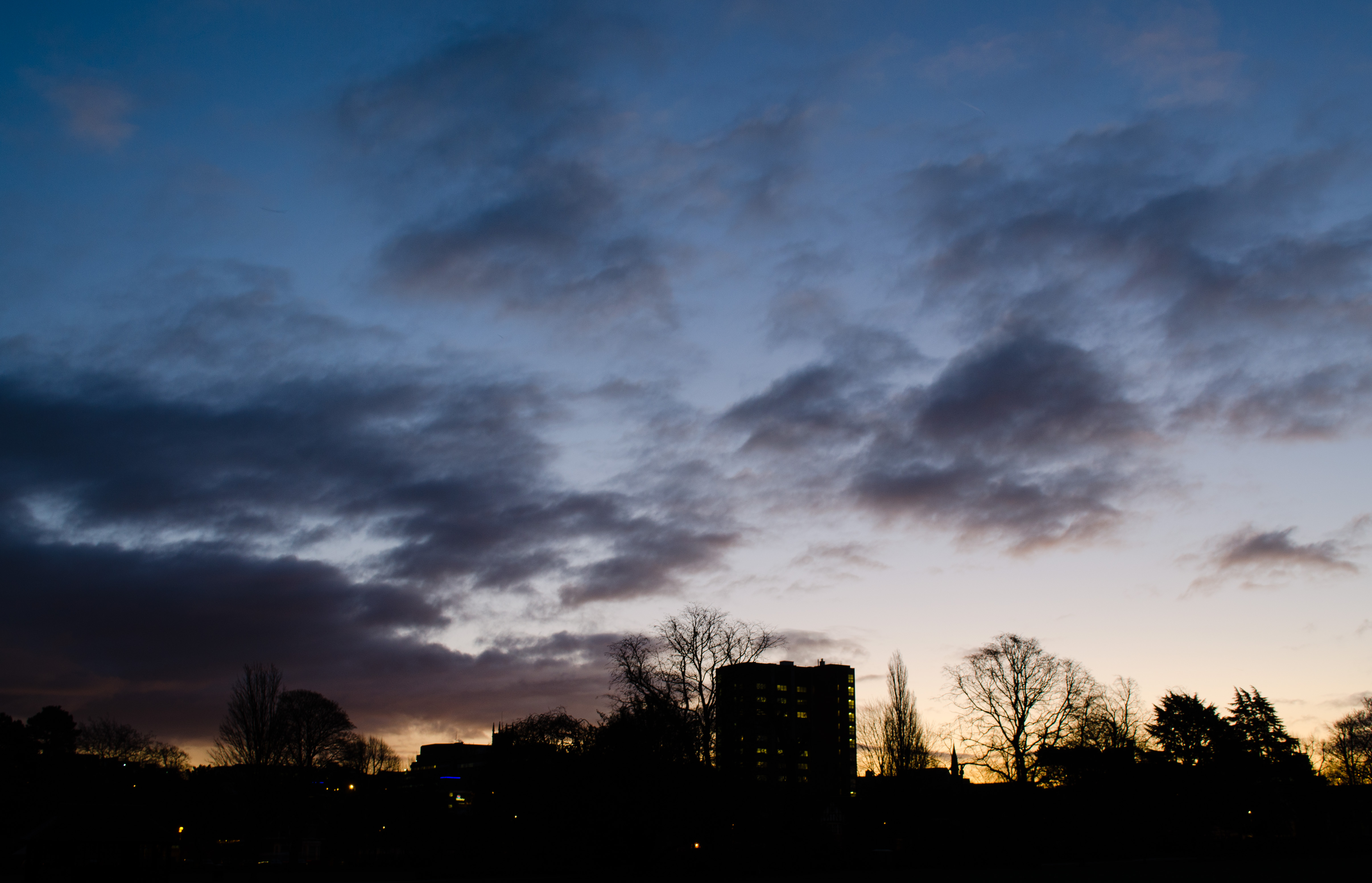
Wolverhampton city centre
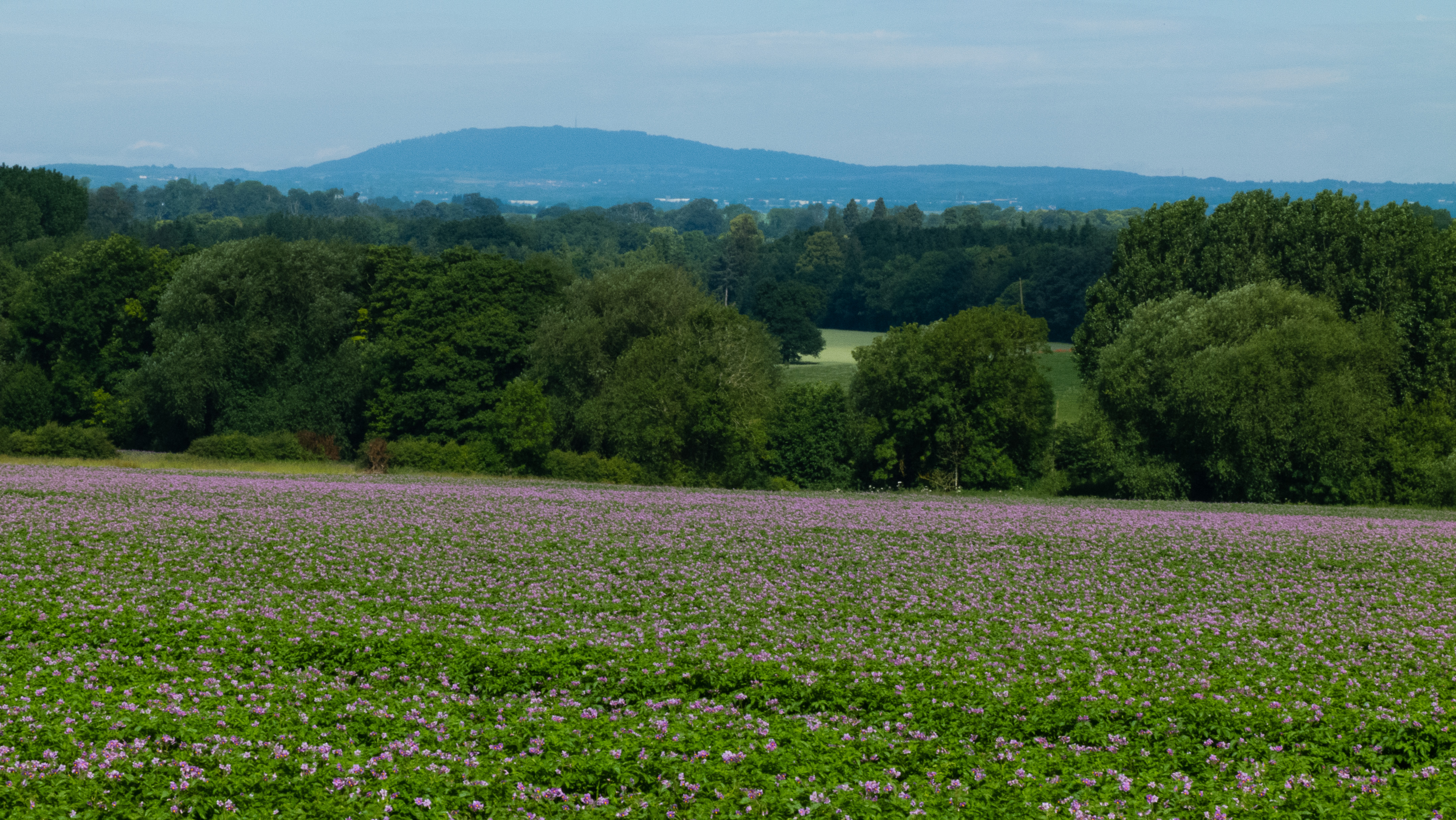
Distant view of the Wrekin
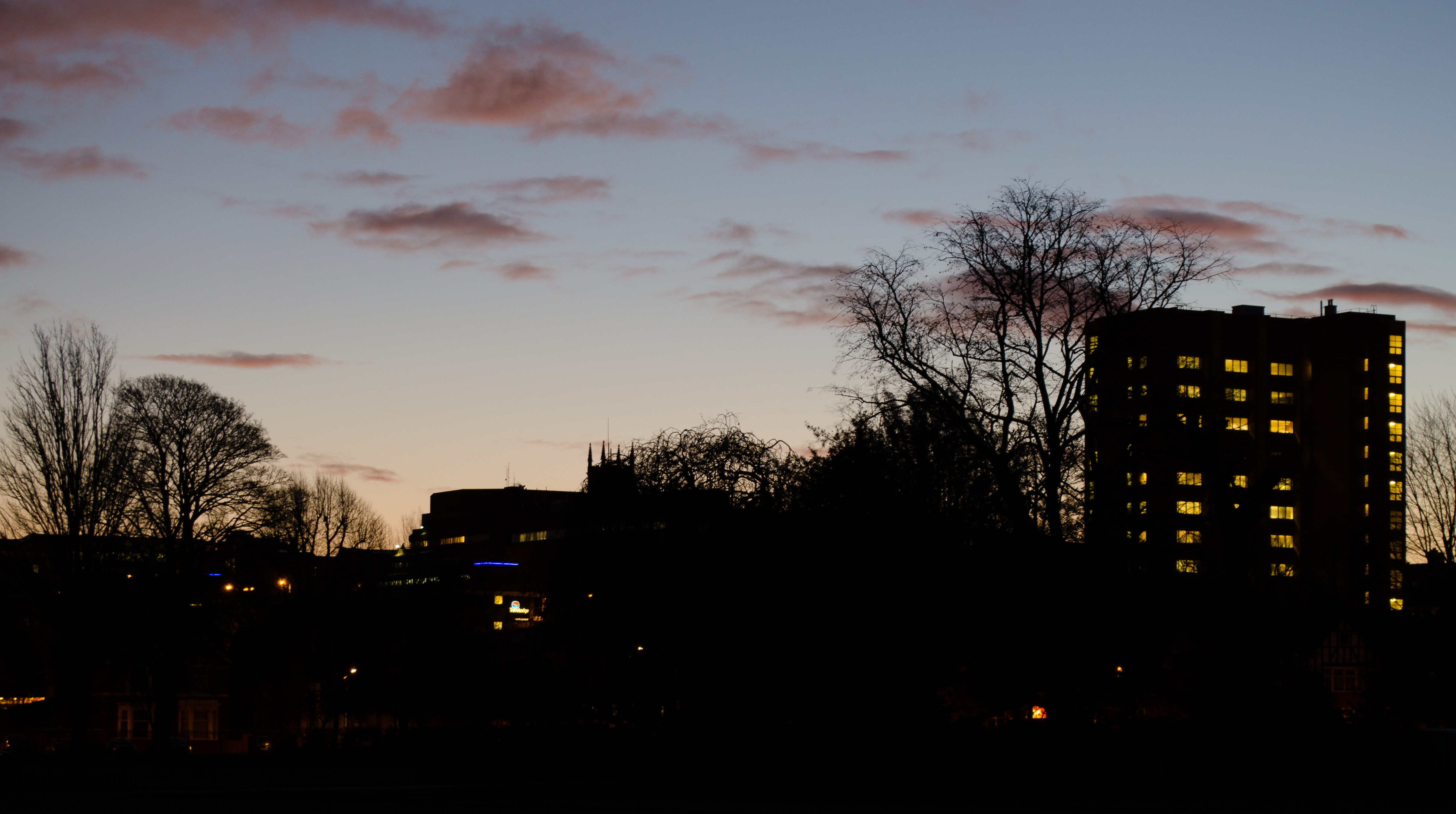
Wolverhampton city centre
Topographic Map of Codsall Wood, Wolverhampton, Staffordshire WV8, UK
Find elevation by address:

Places near Codsall Wood, Wolverhampton, Staffordshire WV8, UK:
Codsall
Codsall
Albrighton
South Staffordshire District
20 Grange Rd
20 Grange Rd
Rifle Range Cottages
Brewood
7 The Square
Pattingham
Wv6 7ds
Coven Road
9 Bickford Cl
5 Bickford Cl
6 Bickford Cl
Lapley
Wv6 0du
Coven
Bradmore
Tf11 8nj
Recent Searches:
- Elevation of Corso Fratelli Cairoli, 35, Macerata MC, Italy
- Elevation of Tallevast Rd, Sarasota, FL, USA
- Elevation of 4th St E, Sonoma, CA, USA
- Elevation of Black Hollow Rd, Pennsdale, PA, USA
- Elevation of Oakland Ave, Williamsport, PA, USA
- Elevation of Pedrógão Grande, Portugal
- Elevation of Klee Dr, Martinsburg, WV, USA
- Elevation of Via Roma, Pieranica CR, Italy
- Elevation of Tavkvetili Mountain, Georgia
- Elevation of Hartfords Bluff Cir, Mt Pleasant, SC, USA