Elevation of Cobblestone Mountain, California, USA
Location: United States > California > Maricopa >
Longitude: -118.86759
Latitude: 34.6091544
Elevation: 1865m / 6119feet
Barometric Pressure: 81KPa
Elevation Map:
Satellite Map:
Related Photos:

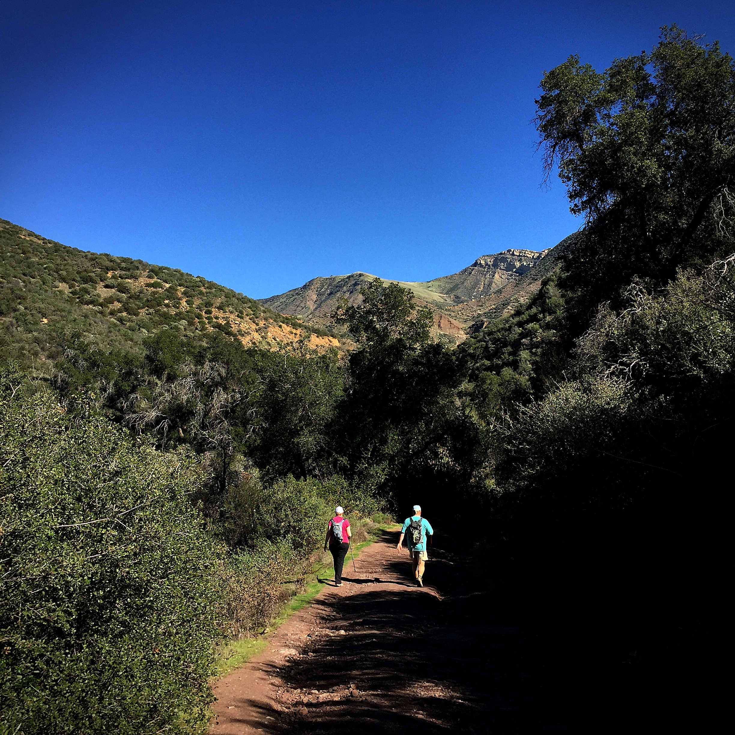
The Sespe Wilderness
park on the lake, perhaps
Tejon Pass
Pyramid Lake

Pyarmid lake
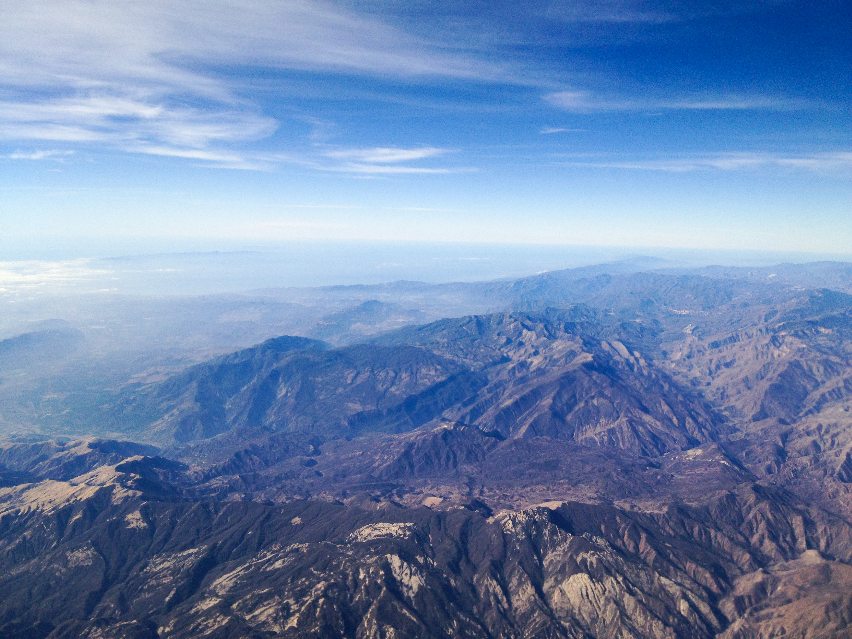
LAX->SEA 27 - a wide look at the Ventura coast including Fillmore, Santa Paula, Ojai, Oak View, Mira Monte, Saticoy, and a lot of the Sespe Wilderness and Los Padres National Forest.jpg
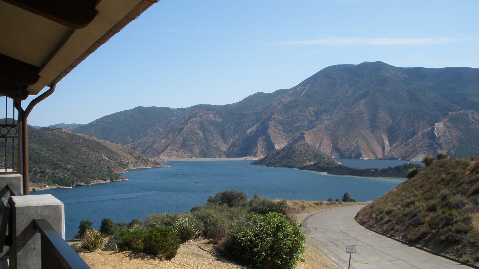
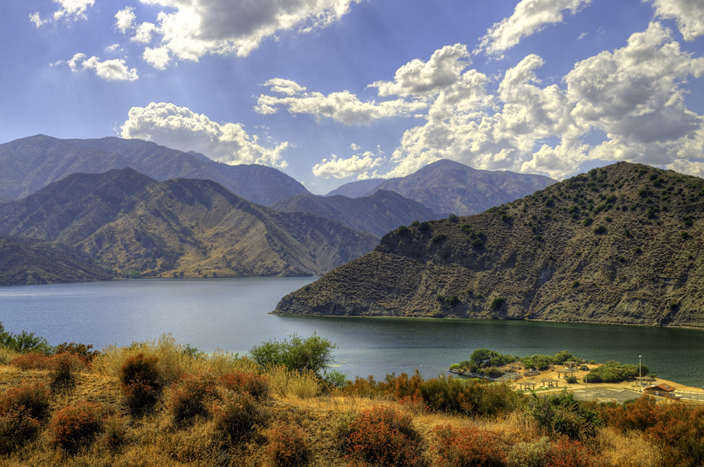
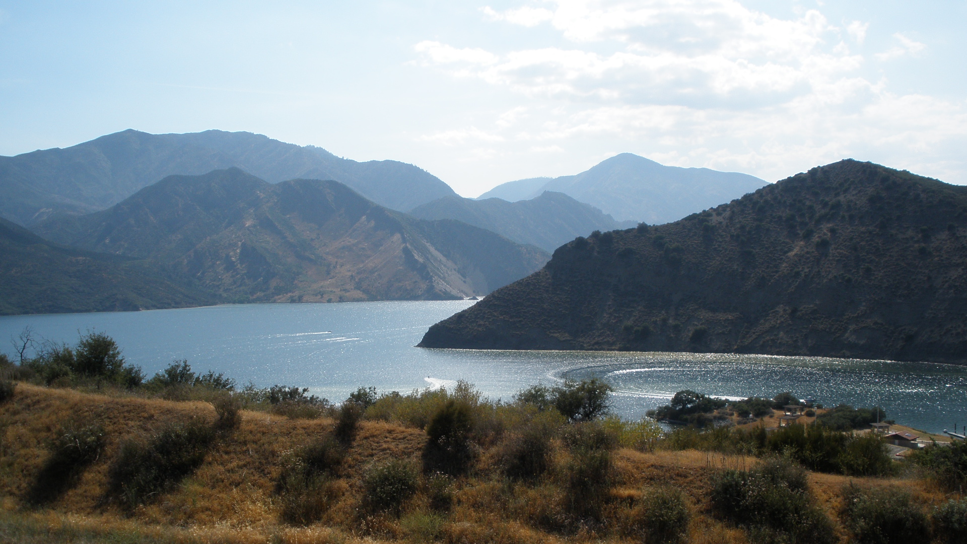
Pyramid Lake
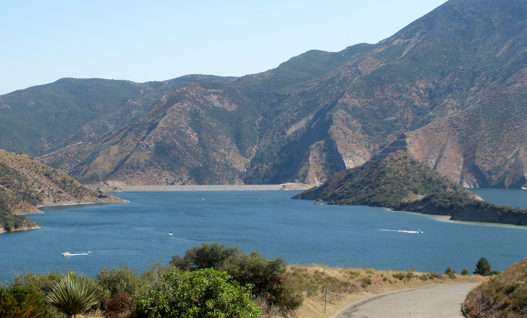
Pyramid Lake
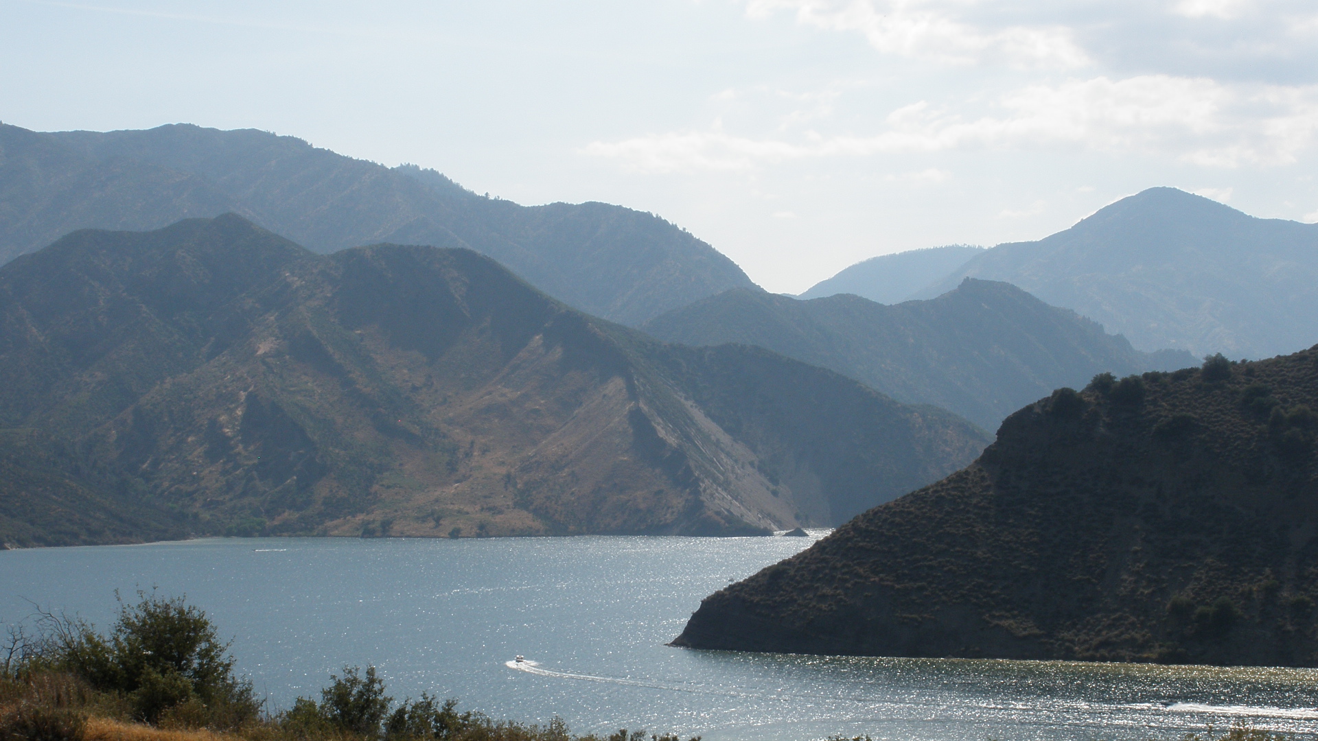
Pyramid Lake
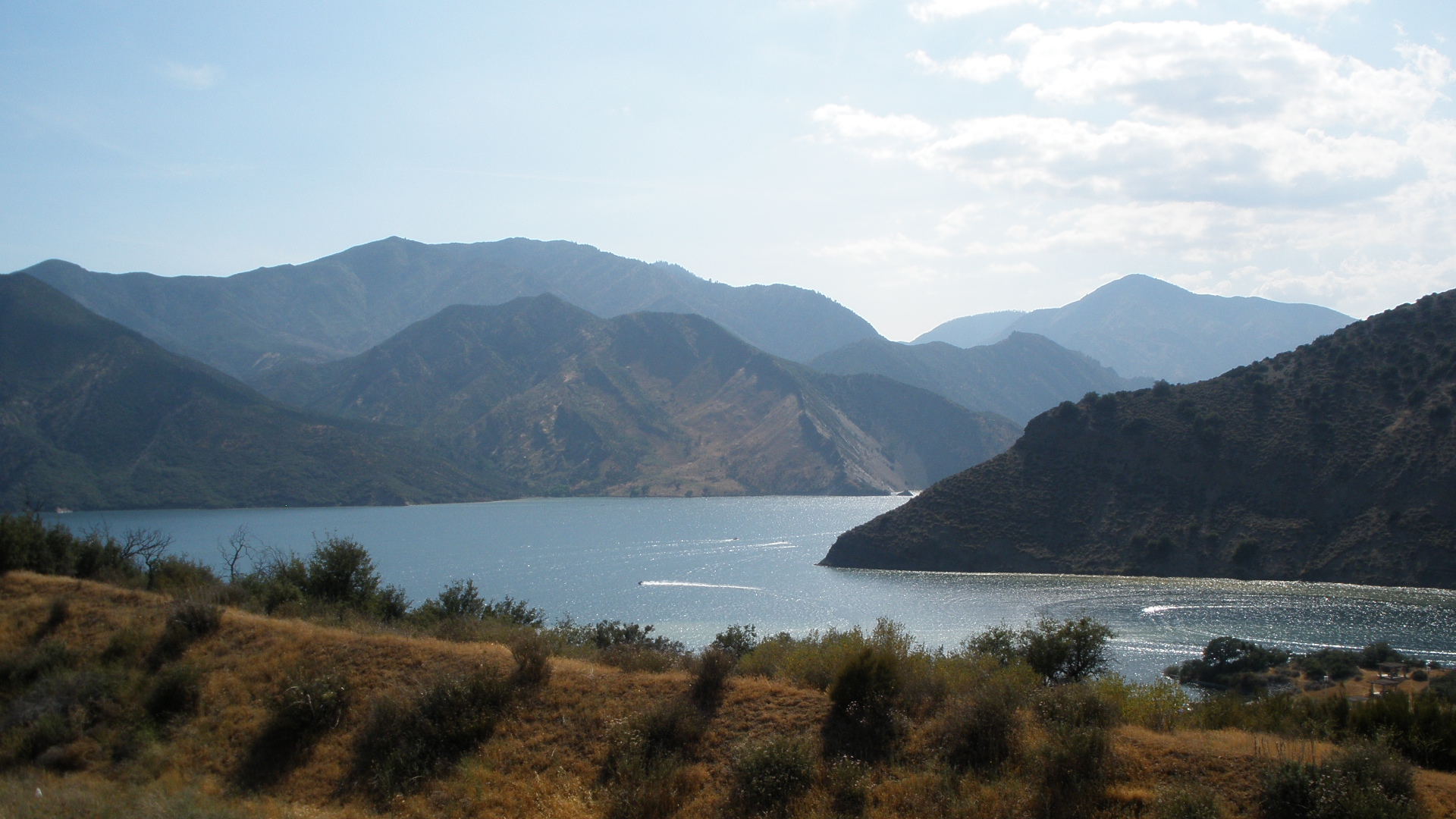
Pyramid Lake

i5 views
Sespe views
Topographic Map of Cobblestone Mountain, California, USA
Find elevation by address:

Places near Cobblestone Mountain, California, USA:
Snowy Peak
Sewart Mountain
Pyramid Lake
Site 82, Pyramid Lake Campground
Alamo Mountain
Los Alamos Campground
Pyramid Lake Los Alamos Campgrounds
Aliklik Campground
Lane Ranch Campground
Smith Forks Campground
Kings Campground
Forest Route 8n01a
Copco Ave, Gorman, CA, USA
Lower Scrub Oak Campground
Quail Canyon Motorcross
Upper Scrub Oak Campground
Honey Valley Group Campground
Sterling Canyon Campground
Edison Campground
Lake Piru
Recent Searches:
- Elevation of Corso Fratelli Cairoli, 35, Macerata MC, Italy
- Elevation of Tallevast Rd, Sarasota, FL, USA
- Elevation of 4th St E, Sonoma, CA, USA
- Elevation of Black Hollow Rd, Pennsdale, PA, USA
- Elevation of Oakland Ave, Williamsport, PA, USA
- Elevation of Pedrógão Grande, Portugal
- Elevation of Klee Dr, Martinsburg, WV, USA
- Elevation of Via Roma, Pieranica CR, Italy
- Elevation of Tavkvetili Mountain, Georgia
- Elevation of Hartfords Bluff Cir, Mt Pleasant, SC, USA