Elevation of Copco Ave, Gorman, CA, USA
Location: United States > California > Los Angeles County > Gorman >
Longitude: -118.79739
Latitude: 34.7224058
Elevation: 908m / 2979feet
Barometric Pressure: 91KPa
Elevation Map:
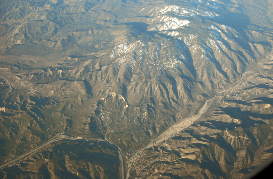
Satellite Map:
Related Photos:
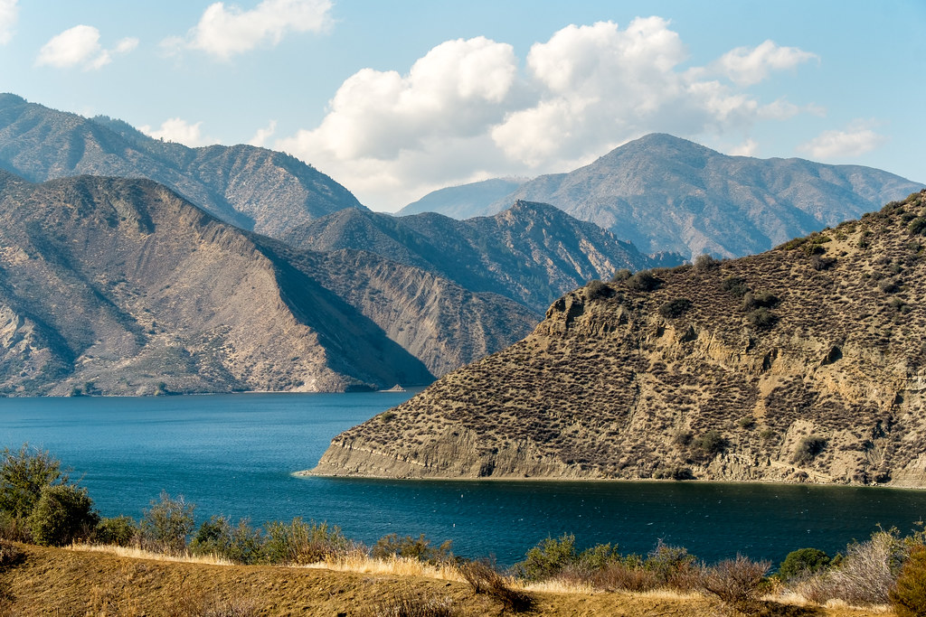
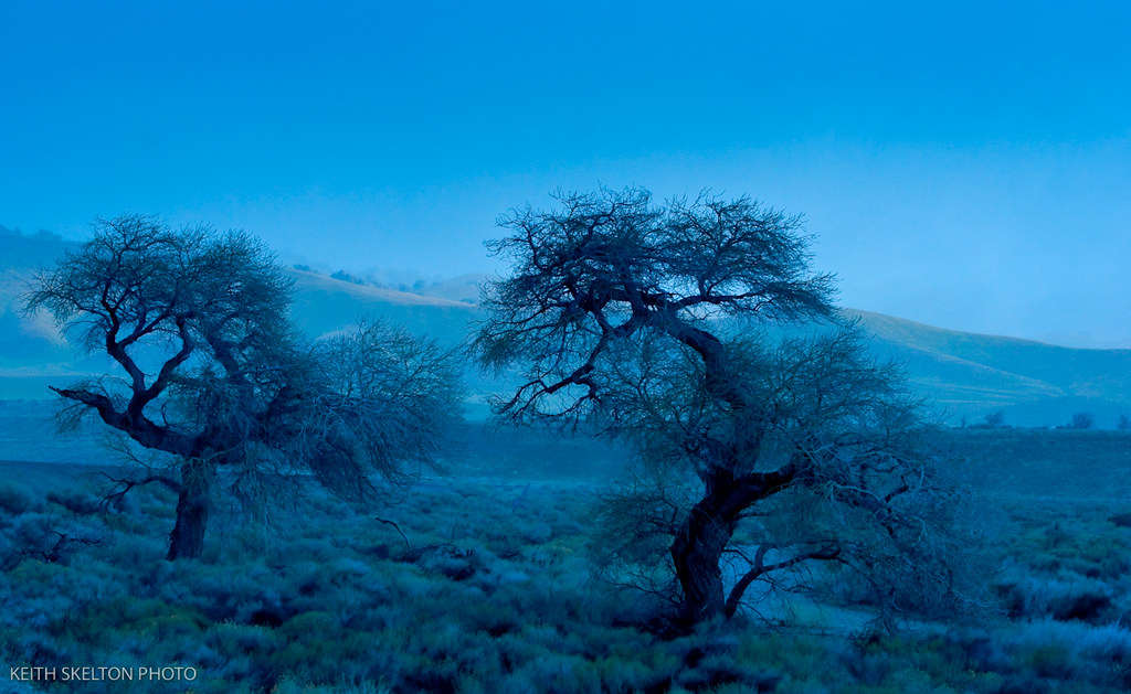
Pyramid Lake Recreational Area, Vaquero, Southern California, USA
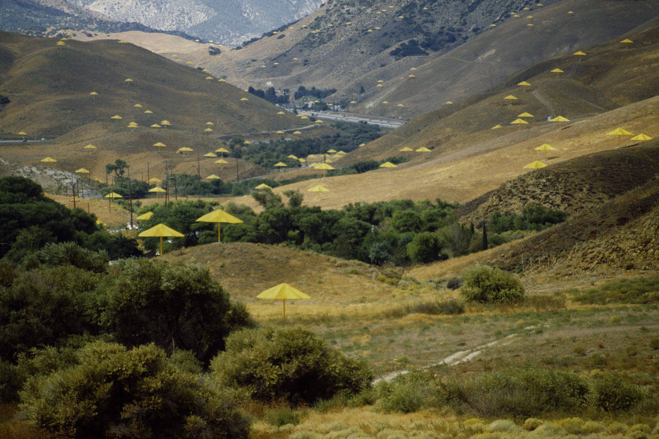
Christo Umbrellals (Long View)
park on the lake, perhaps
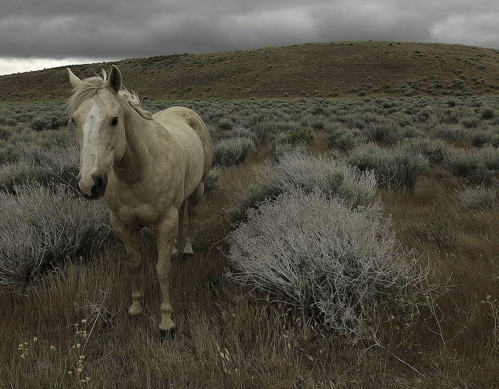
Horse & cloudy day.

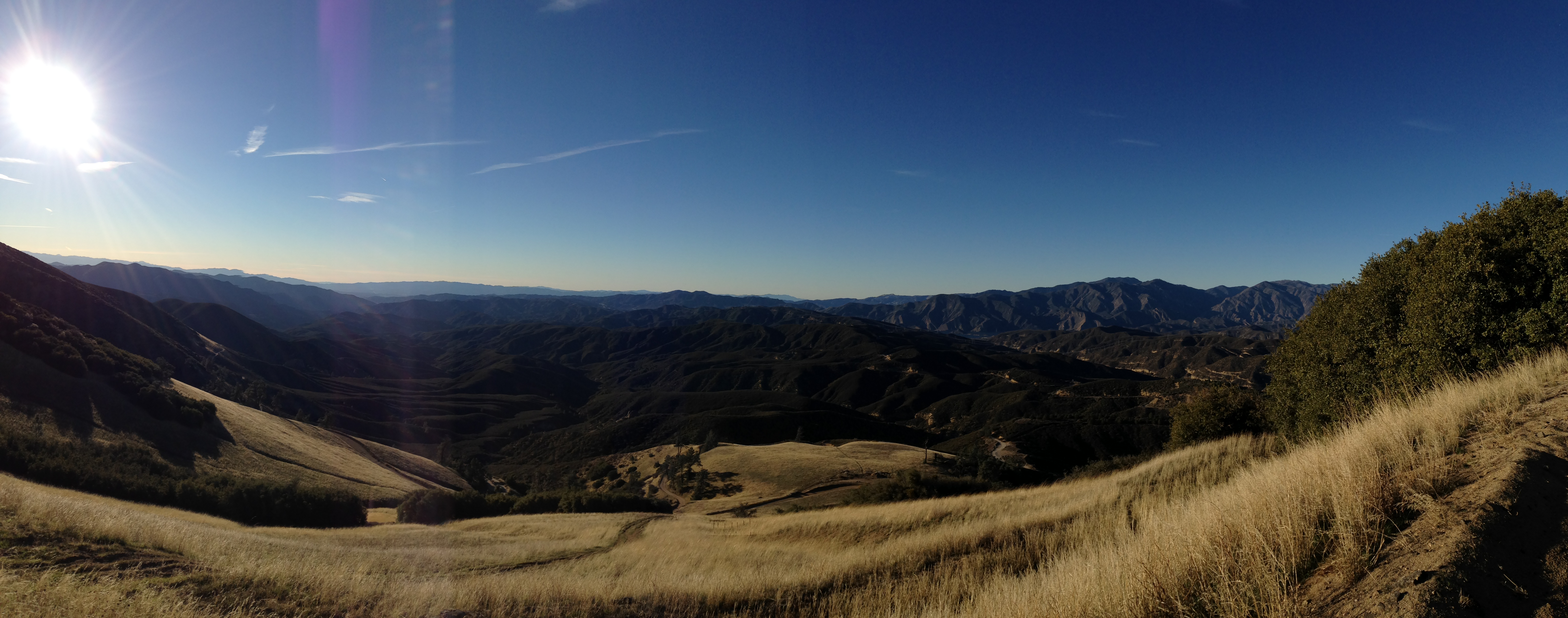
Knapp Ranch, Angeles National Forest
Above the San Andreas fault, Gorman, and Frazier Park
Tejon Pass

What you can do - TRUST
Winter in the Tejon Pass California
Tejon Pass, Southern California Winter
Winter in the Tejon Pass California
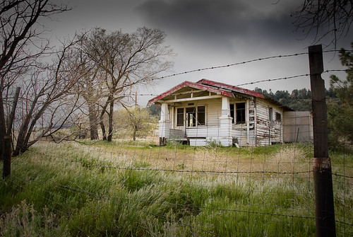
Deserted House - Lancaster
Winter in the Tejon Pass California

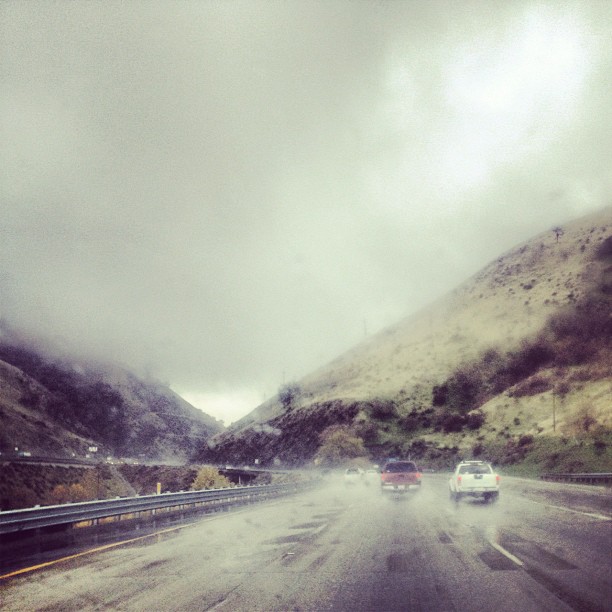
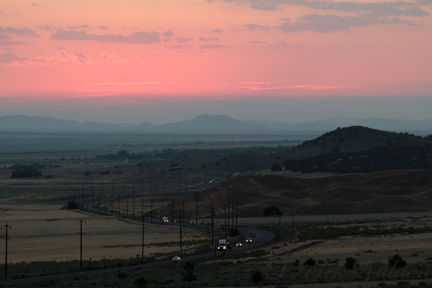
Interstate 5 Southbound Golden State Freeway approaching Exit 205 - Mount Pinos Recreation Area + skiing, hiking, camping, binocular viewing point next exit with this roadside sign located at Kern County - Lebec, California.
Winter in the Tejon Pass California

Low view.

i5 views
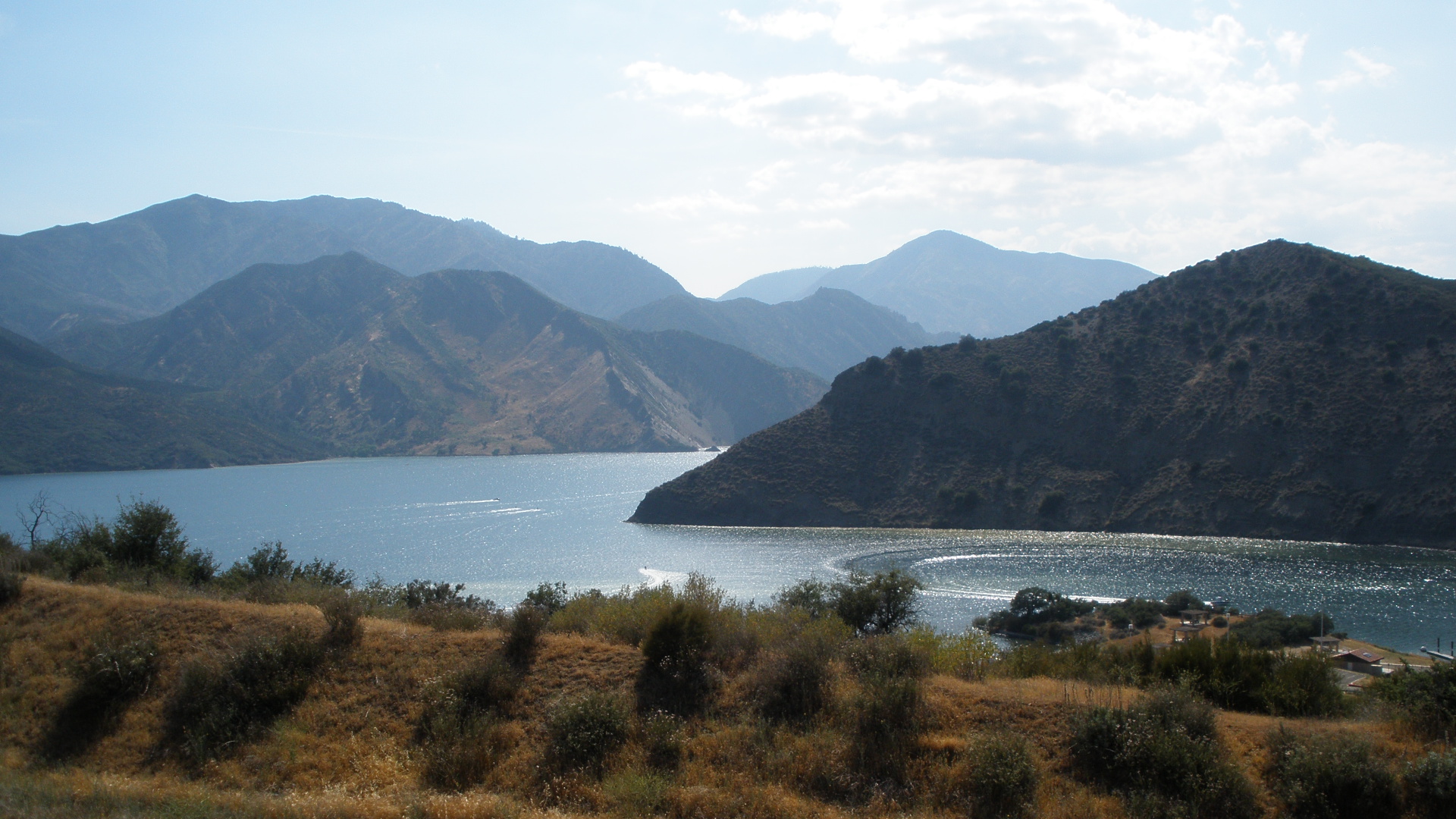
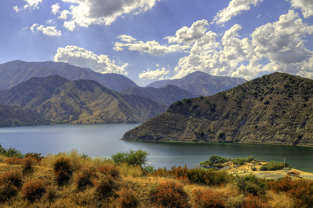
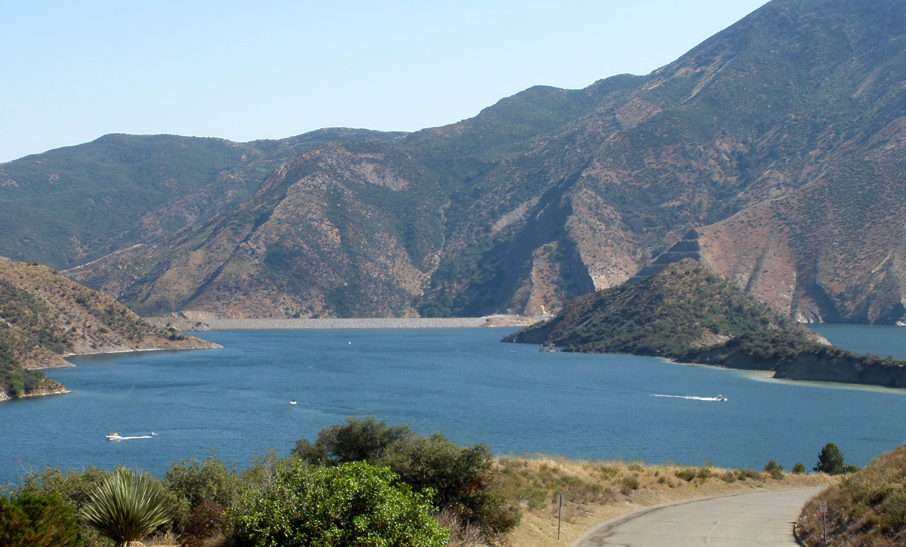
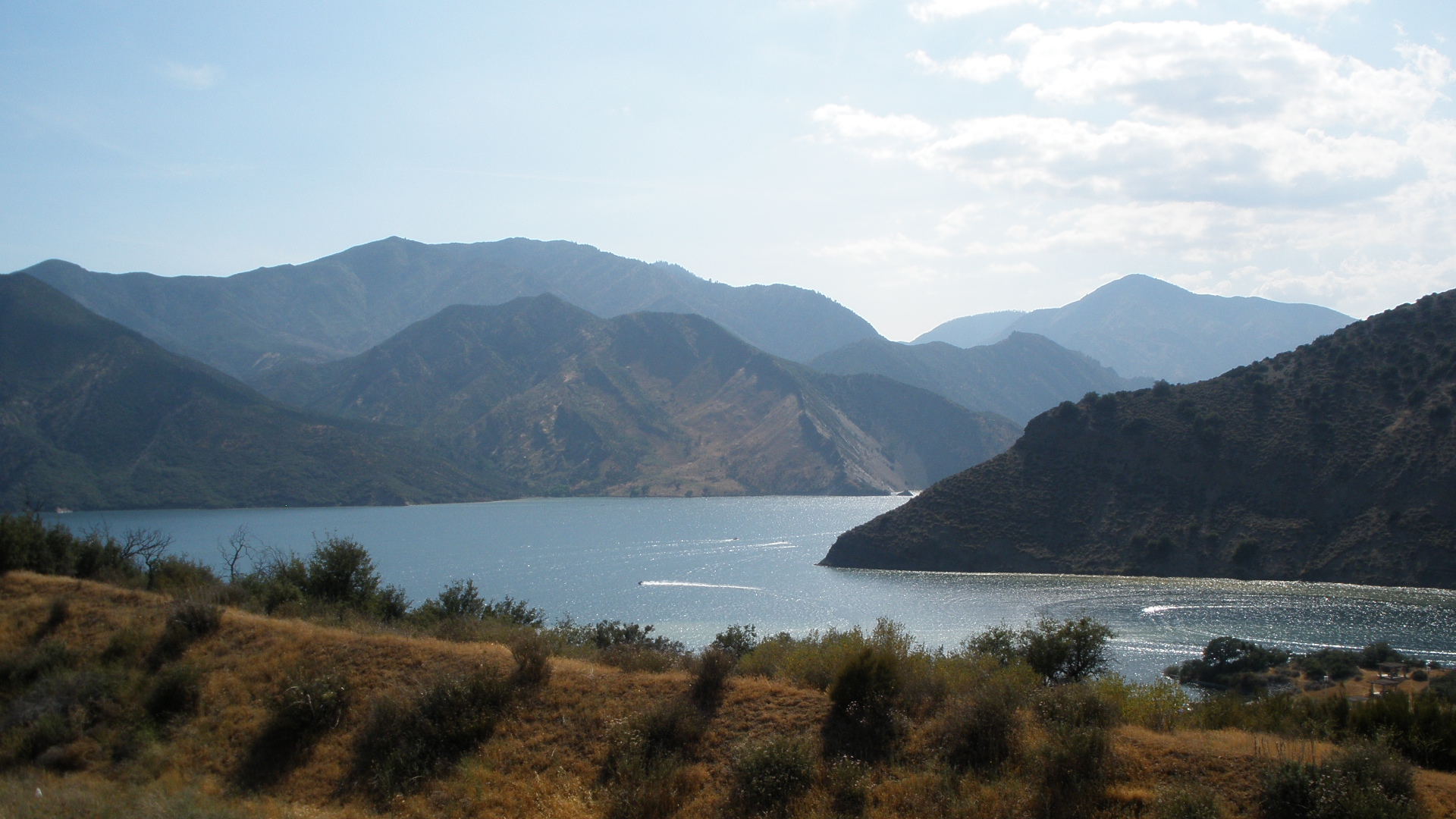
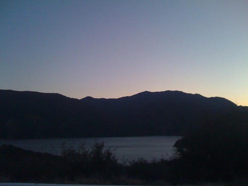
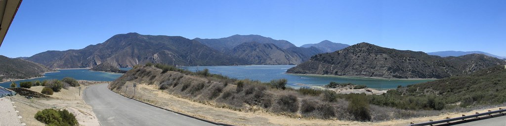
Pyramid Lake

The View
Pyramid Lake
Pyramid Lake
Peace Valley Road
April Showers Bring May Flowers
...It's a blue sky day under the Desert sun....

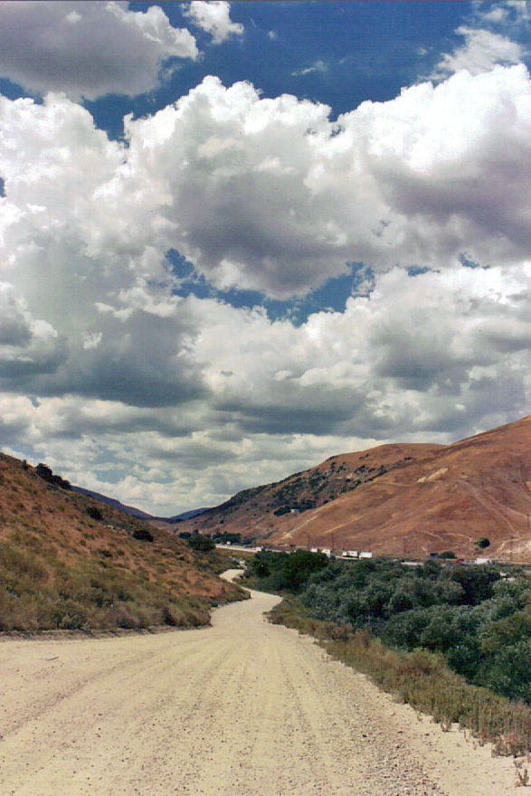
Old Ridge Route - Looking eastward along CA-138

Pyramid Lake
Photo by J
California dreamin'
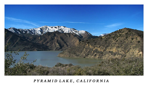
Pyramid Lake
Old Ridge Route / Quail Lake Tree 2
Old Ridge Route / California Aqueduct
Quail Lake
Approaching the summit
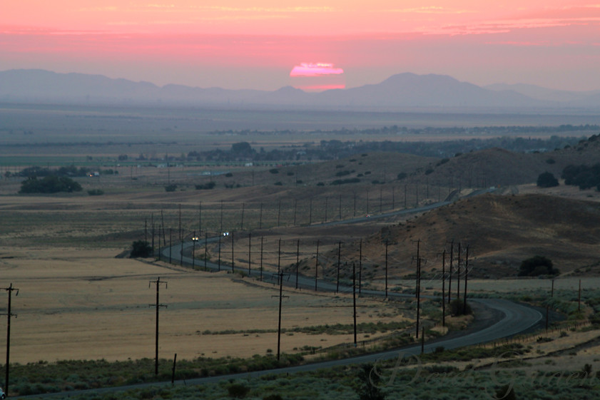
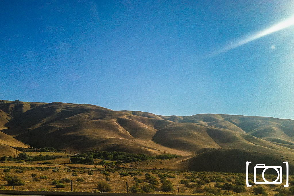
Antelope Valley Sunrise
Panorama north from 7N23 on slope of Sandberg
Los Angeles County, California, United States, Mar 23, 2009
Antelope Valley Sunrise
IMG_0312-6
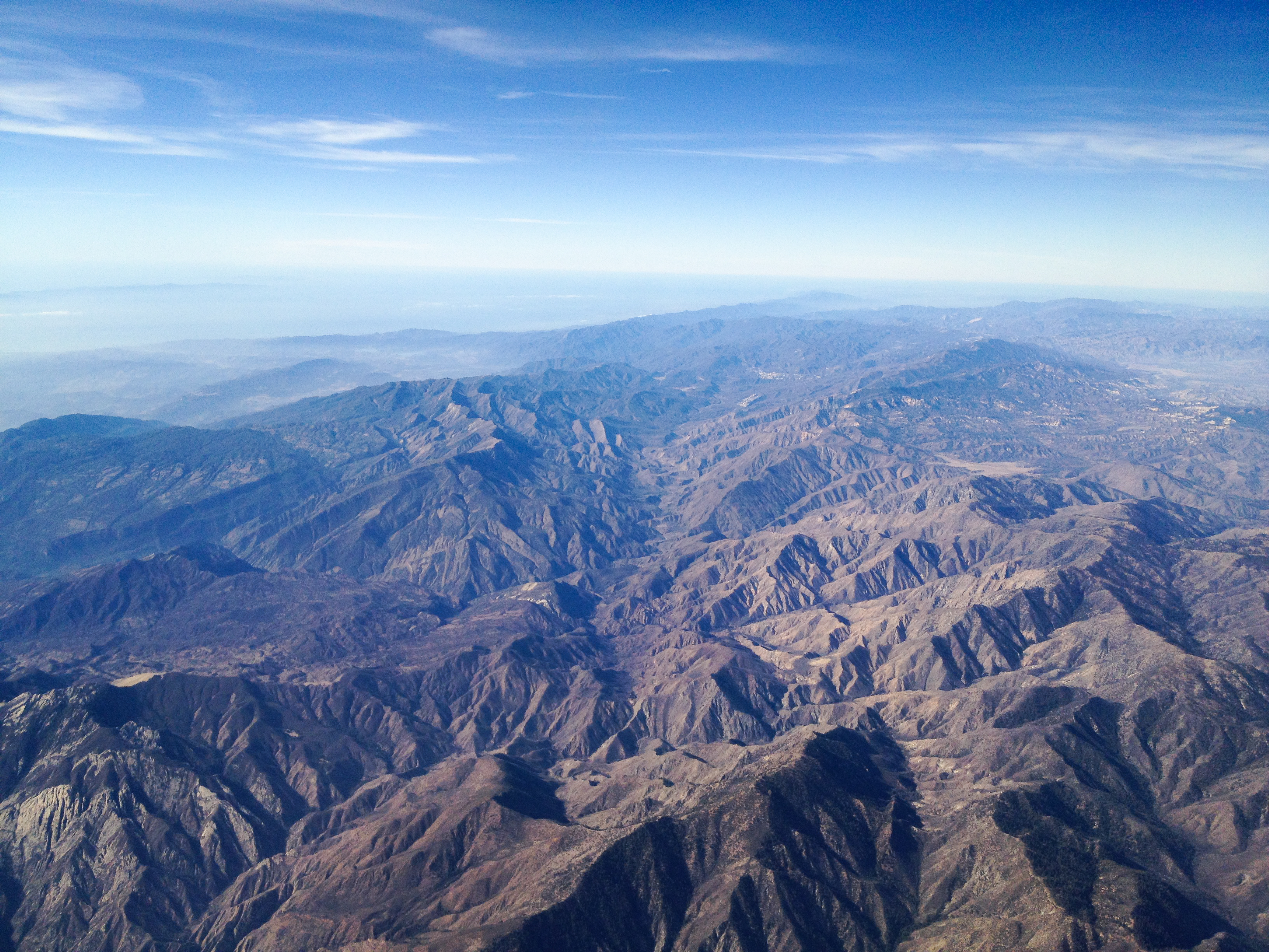
LAX->SEA 29 - Sespe Wilderness and Los Padres National Forest.jpg
Northern California Roadtrip-4.jpg

Early morning over the Grapevine near Los Angeles
Topographic Map of Copco Ave, Gorman, CA, USA
Find elevation by address:

Places near Copco Ave, Gorman, CA, USA:
Pyramid Lake Los Alamos Campgrounds
Los Alamos Campground
Site 82, Pyramid Lake Campground
Quail Canyon Motorcross
Lane Ranch Campground
Aliklik Campground
Quail Lake
Pyramid Lake
Smith Forks Campground
Lower Scrub Oak Campground
Old Ridge Route, Lancaster, CA, USA
Honey Valley Group Campground
Upper Scrub Oak Campground
Gorman
Sterling Canyon Campground
Edison Campground
Tejon Pass
San Andreas Fault - Pacific Plate And North American Plate Visible Boundary
Snowy Peak
Interstate 5
Recent Searches:
- Elevation of Groblershoop, South Africa
- Elevation of Power Generation Enterprises | Industrial Diesel Generators, Oak Ave, Canyon Country, CA, USA
- Elevation of Chesaw Rd, Oroville, WA, USA
- Elevation of N, Mt Pleasant, UT, USA
- Elevation of 6 Rue Jules Ferry, Beausoleil, France
- Elevation of Sattva Horizon, 4JC6+G9P, Vinayak Nagar, Kattigenahalli, Bengaluru, Karnataka, India
- Elevation of Great Brook Sports, Gold Star Hwy, Groton, CT, USA
- Elevation of 10 Mountain Laurels Dr, Nashua, NH, USA
- Elevation of 16 Gilboa Ln, Nashua, NH, USA
- Elevation of Laurel Rd, Townsend, TN, USA