Elevation of Coal Run Rd, Moatsville, WV, USA
Location: United States > West Virginia > Barbour County > North > Moatsville >
Longitude: -79.932980
Latitude: 39.2449195
Elevation: 379m / 1243feet
Barometric Pressure: 97KPa
Elevation Map:
Satellite Map:
Related Photos:
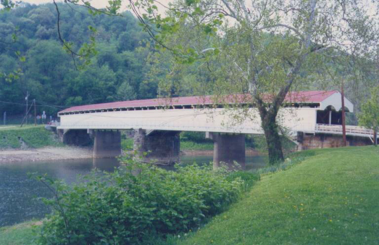
Philippi Covered Bridge
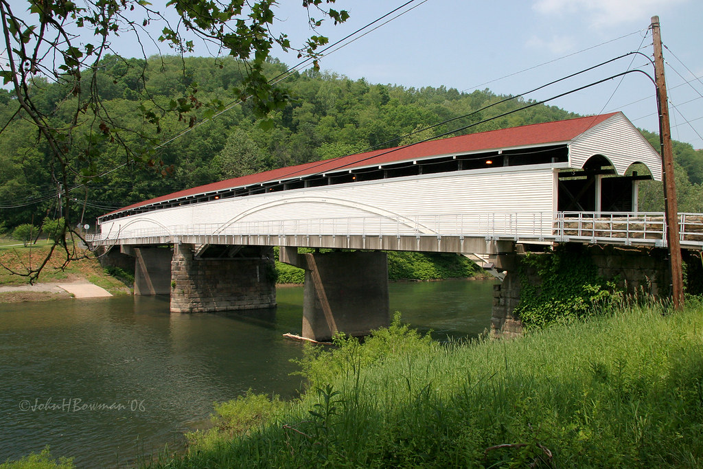
Philippi Covered Bridge - West Virginia
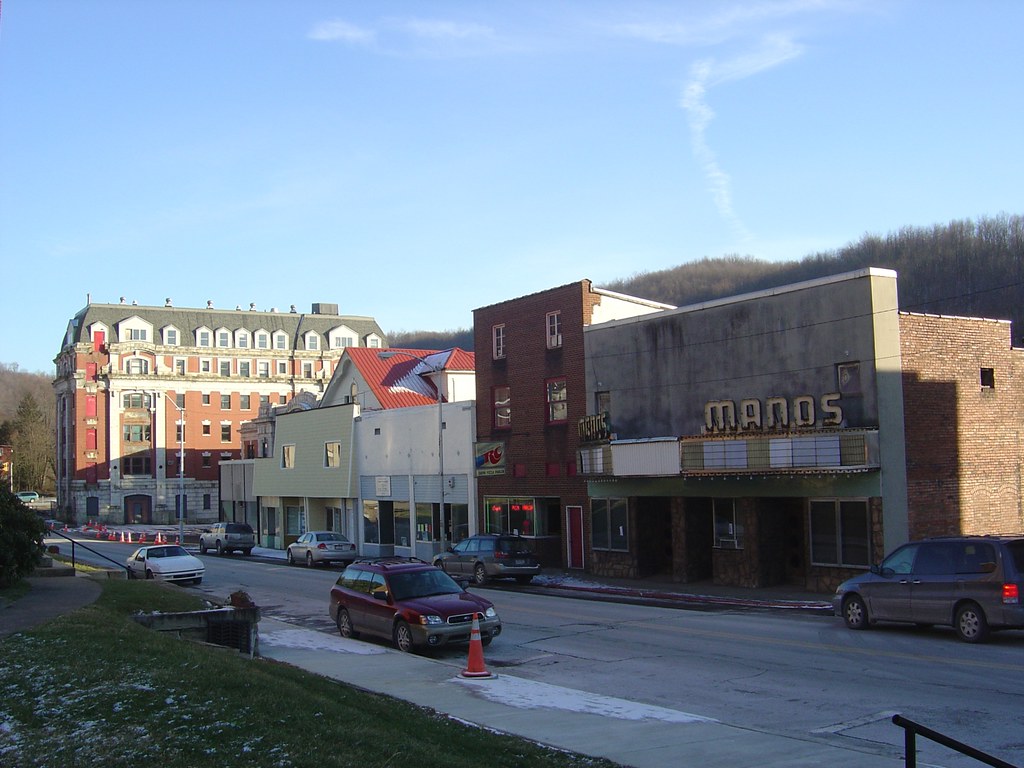
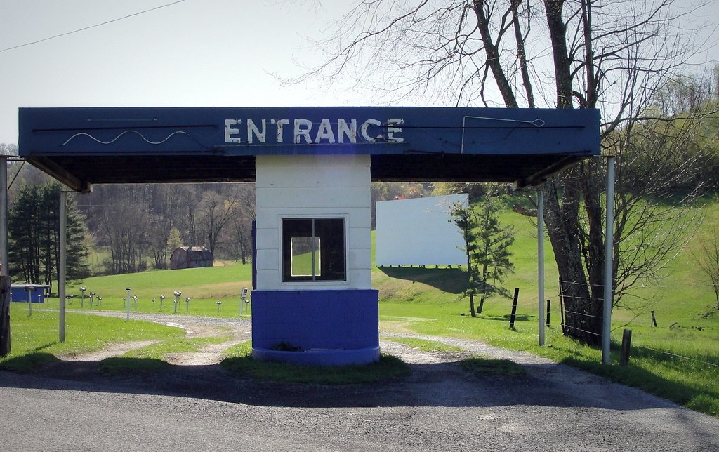
Looking Down The Street
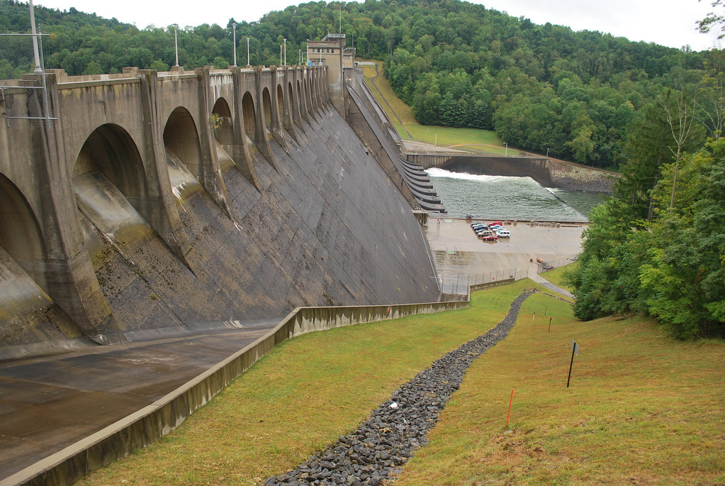
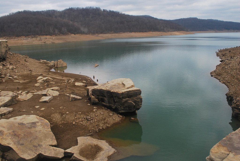
Tygart Dam
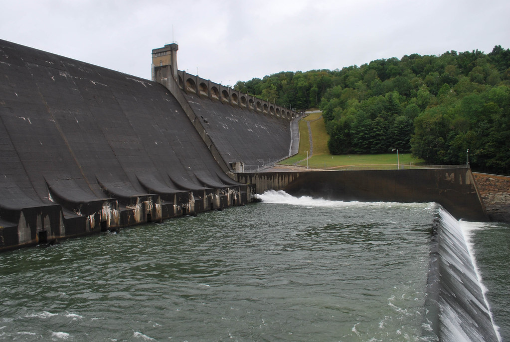
Tygart Dam

West Virginia | Grafton
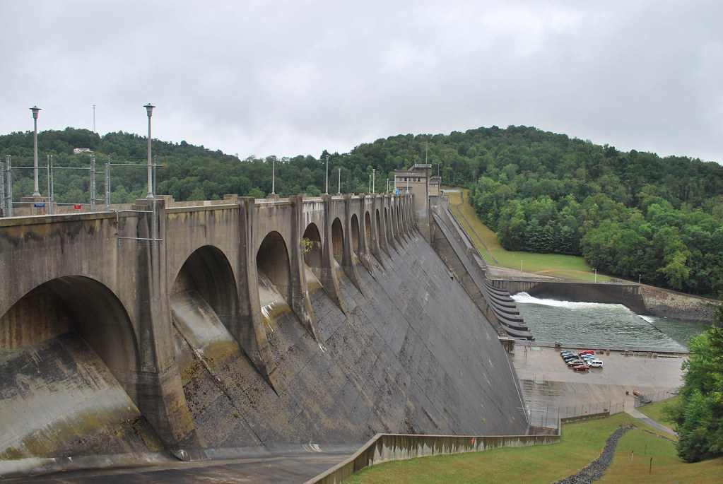
Tygart Dam
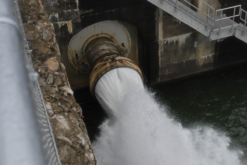
Tygart Dam
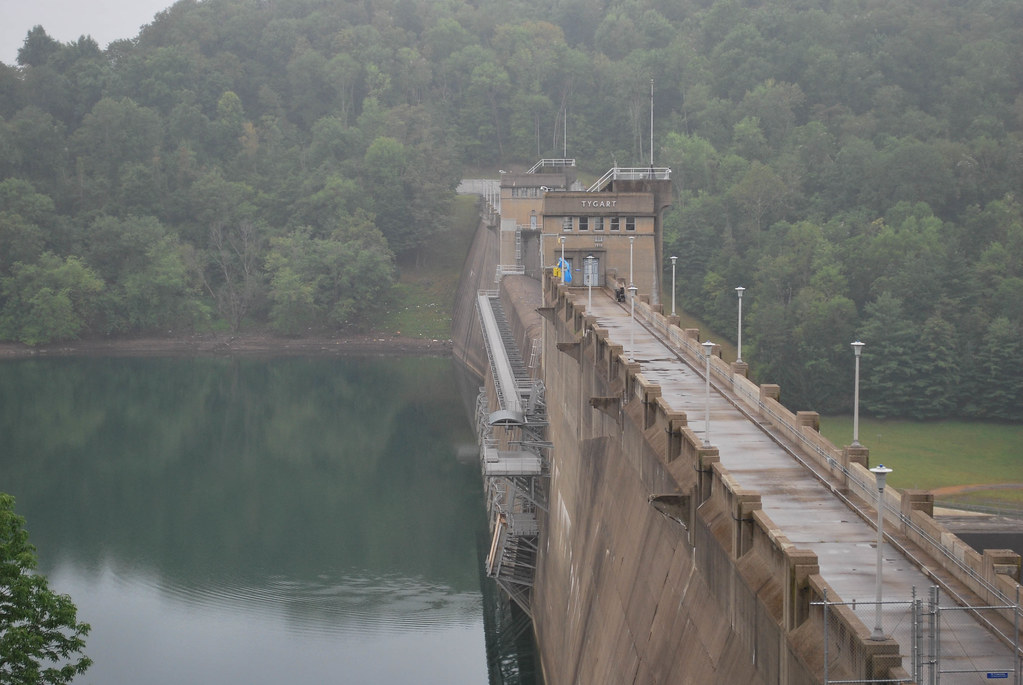
Tygart Dam
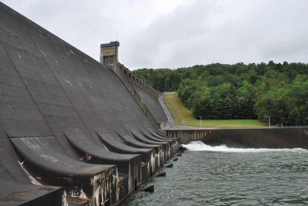
Tygart Dam
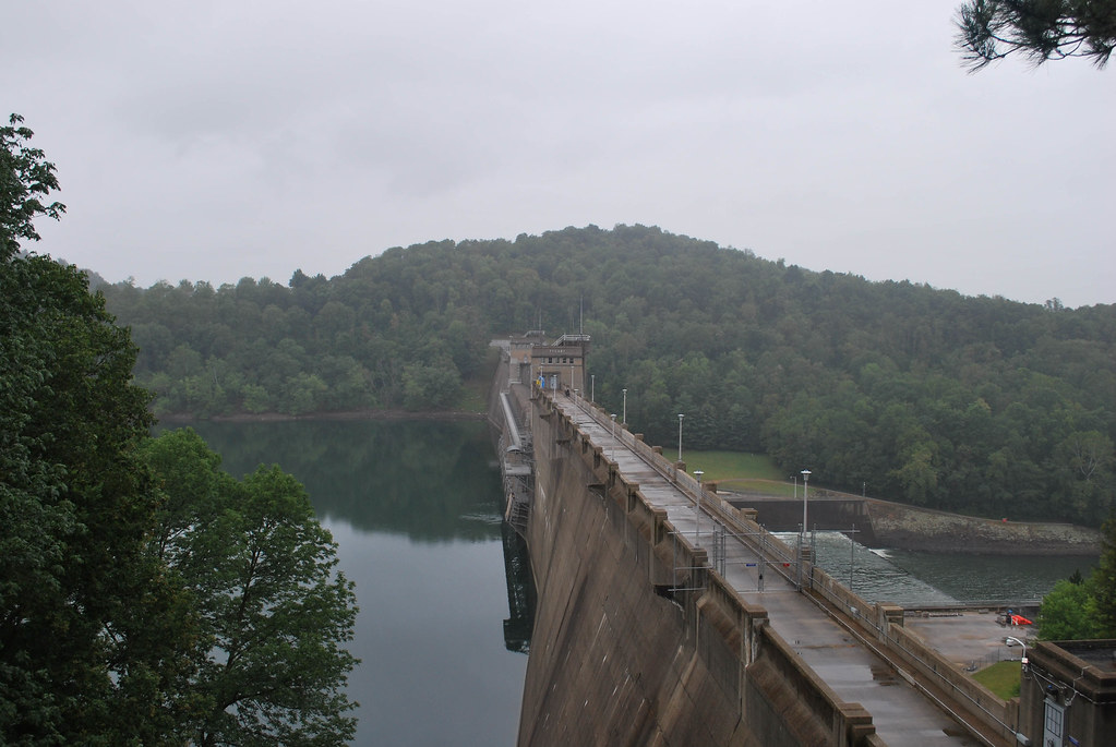
Tygart Dam

Tygart Dam

Dentist's Chair, Long View
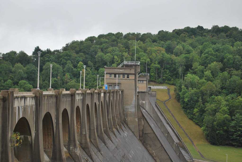
Tygart Dam
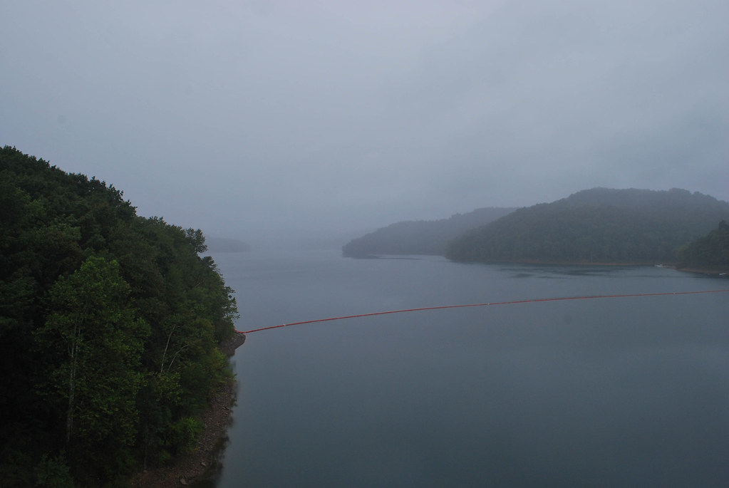
Tygart Dam
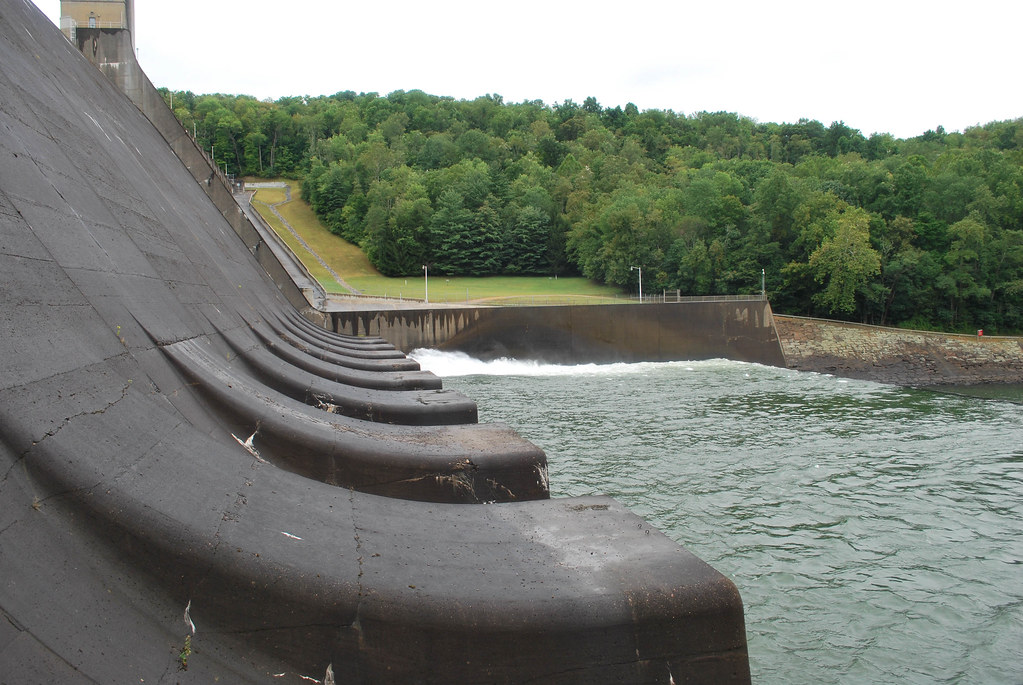
Tygart Dam

IMG_2253.JPG
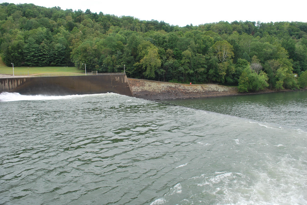
Tygart Dam

Tygart Dam
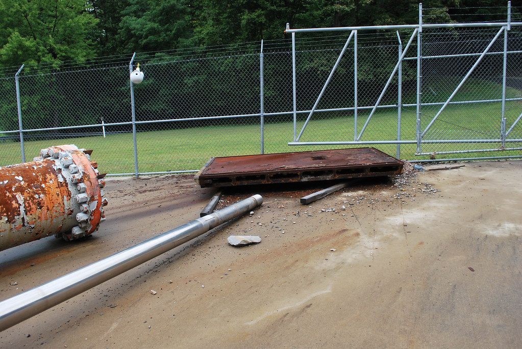
Tygart Dam
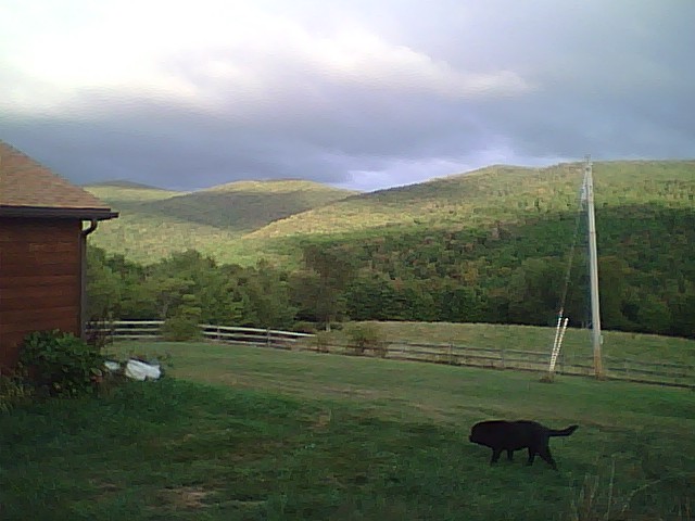
On the hill
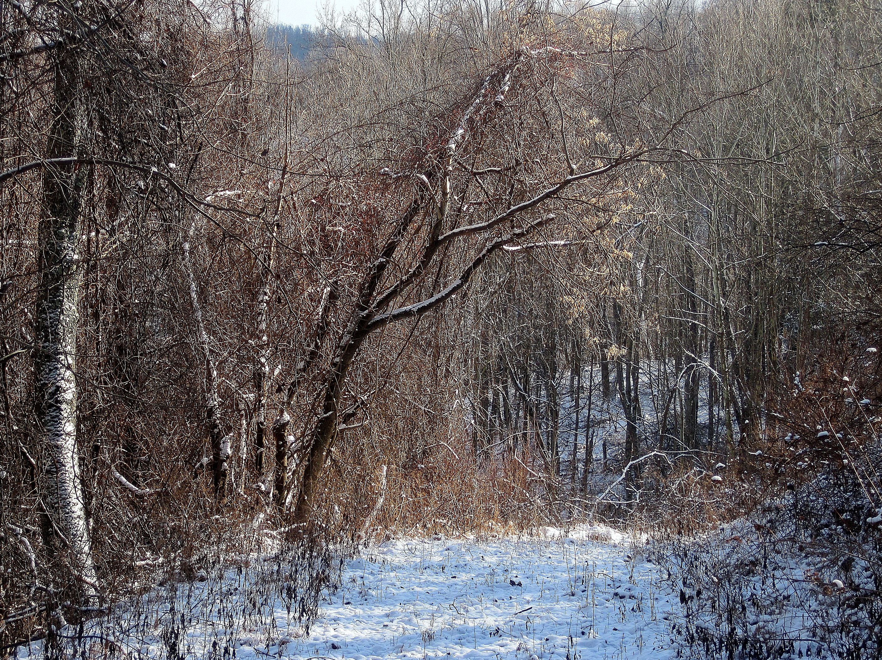
Woods behind my parents' house
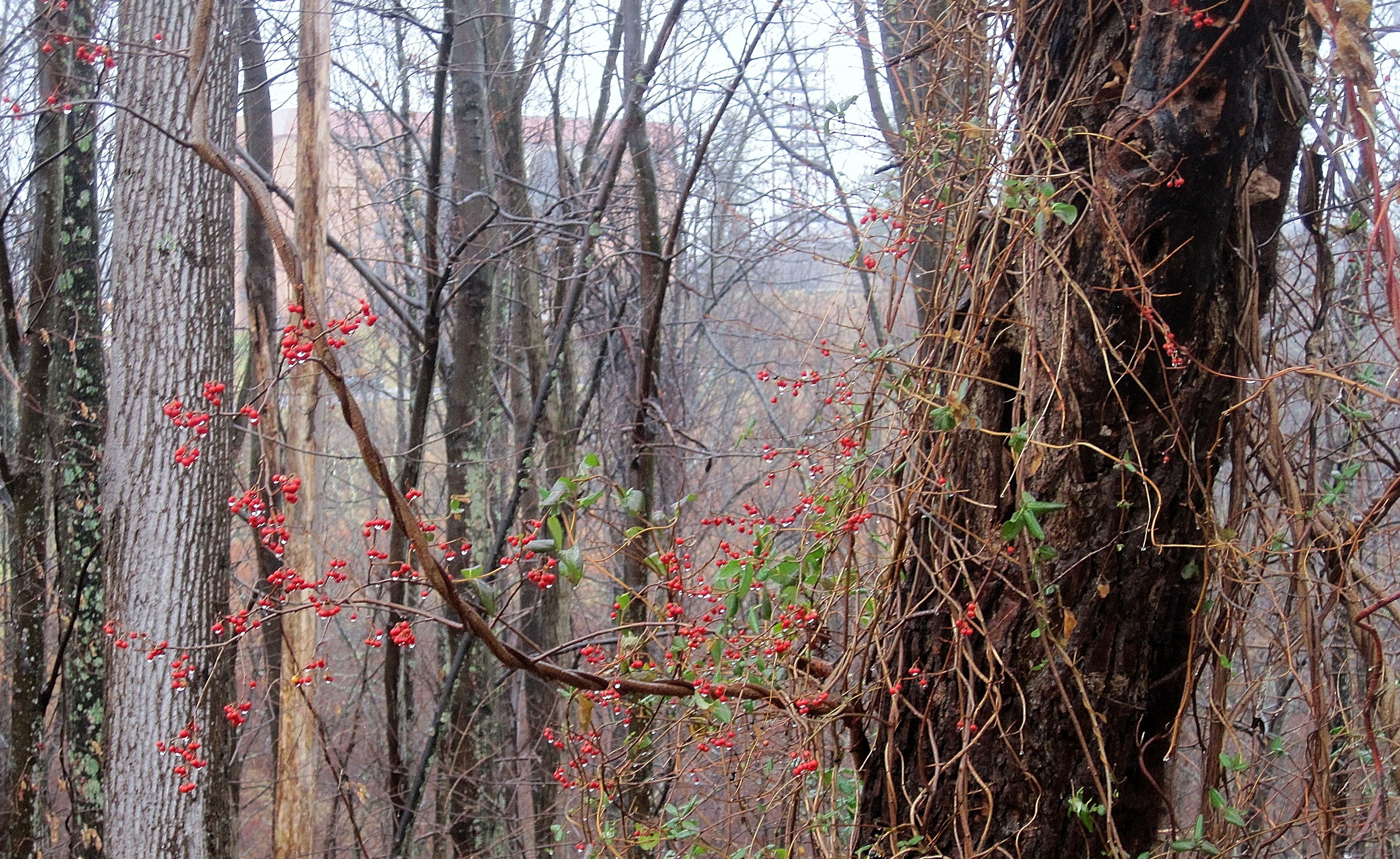
Berries in the woods
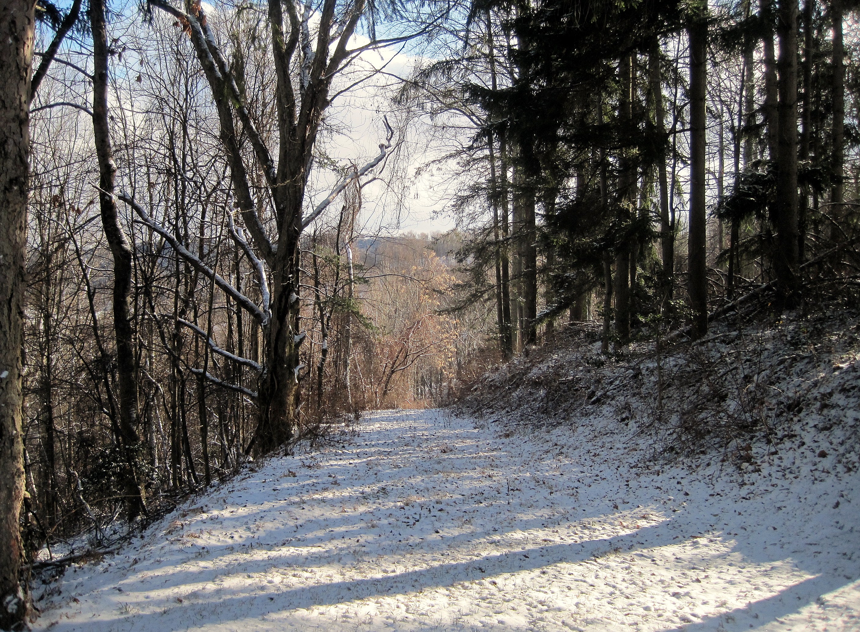
Path through woods

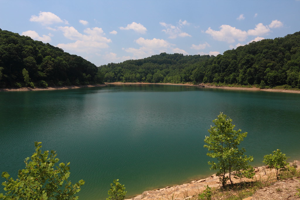
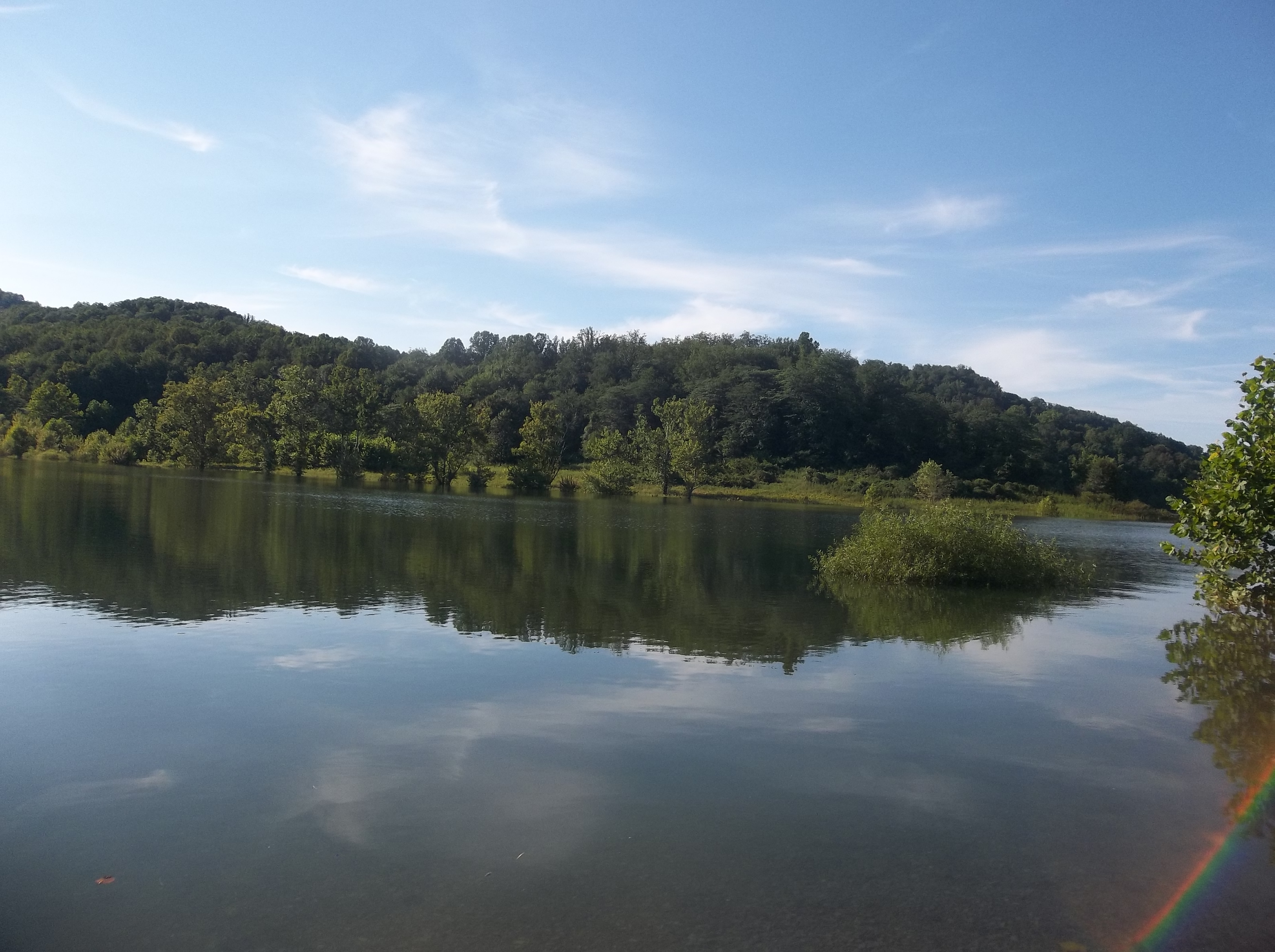
WV Wetlands
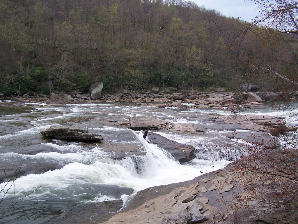
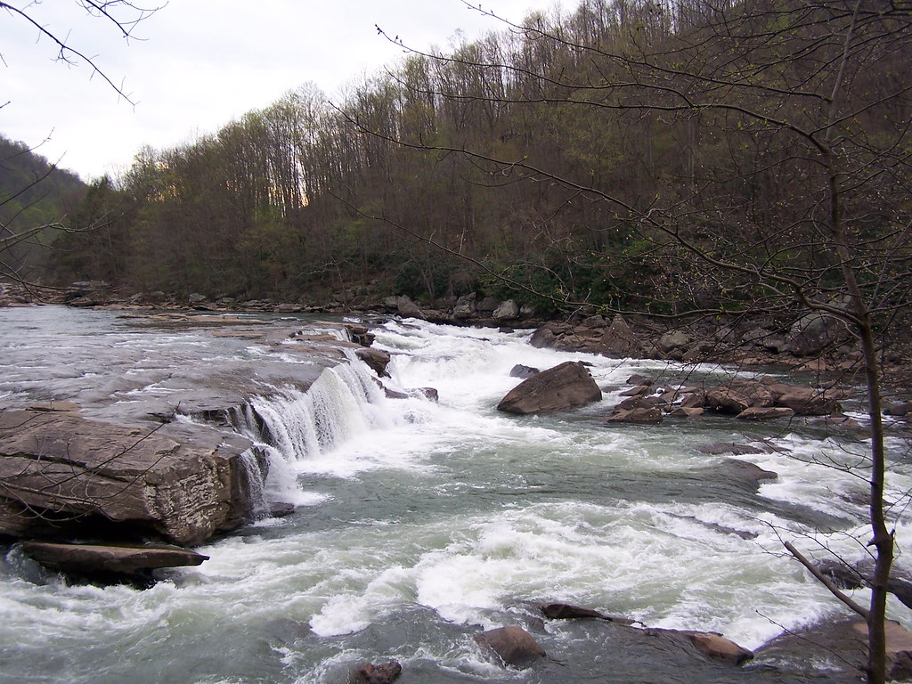
Moats Falls on the Tygart River, just below Arden. (Panorama)

Pine needles
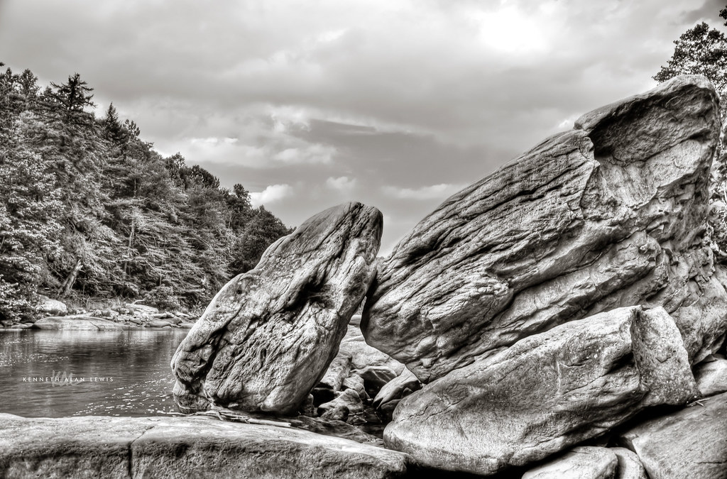
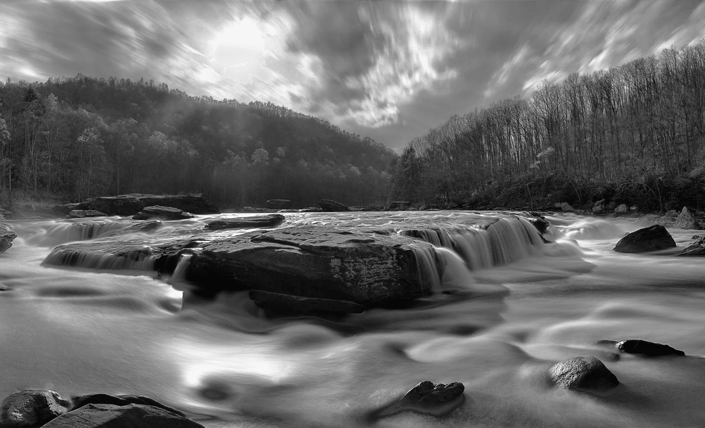
Tygart Valley River Boulders B&W
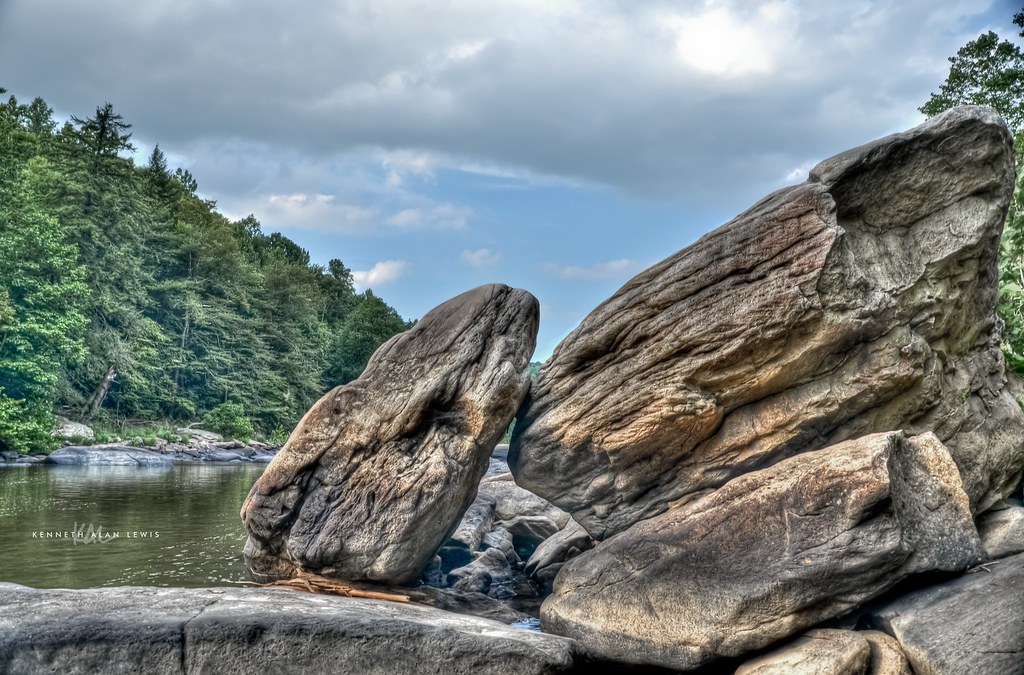
Tygart Valley River Boulders
Pleasant Creek
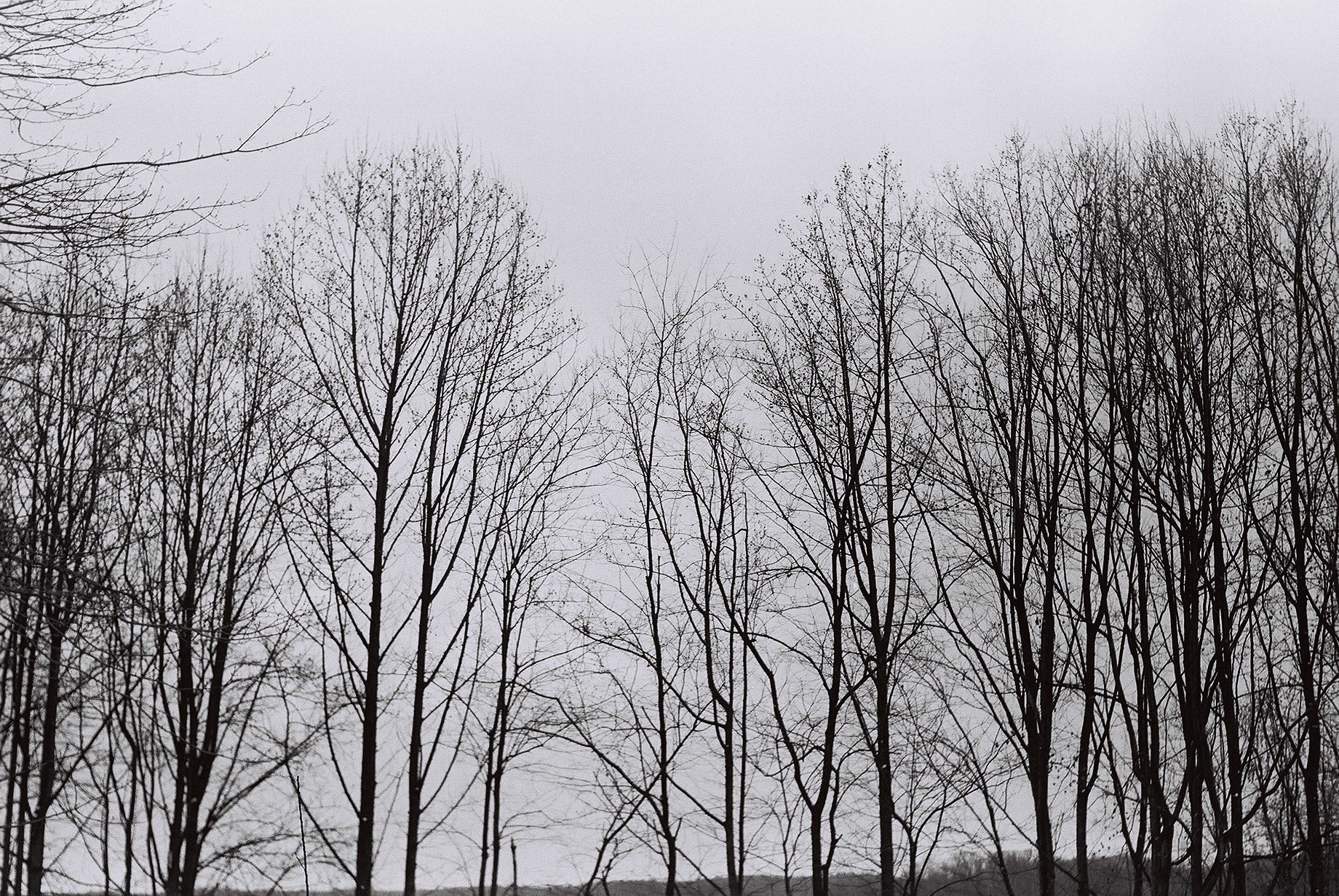
Tree branches
West Virginia ~ Grafton
Pleasant Creek Wildlife Management Area

Philippi Covered Bridge
Pleasant Creek
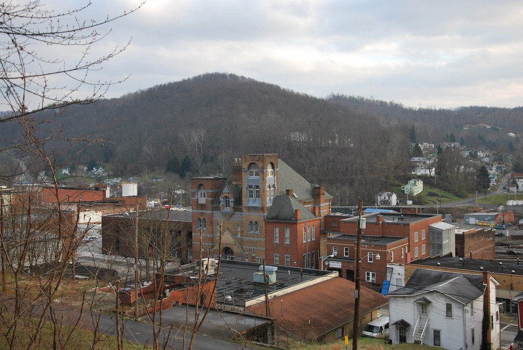
Grafton, WV

Pleasant Creek Wildlife Management Area

Philippi in autumn
Pleasant Creek Wildlife Management Area
Pleasant Creek Wildlife Management Area
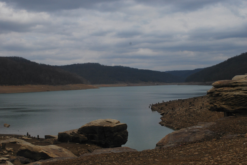
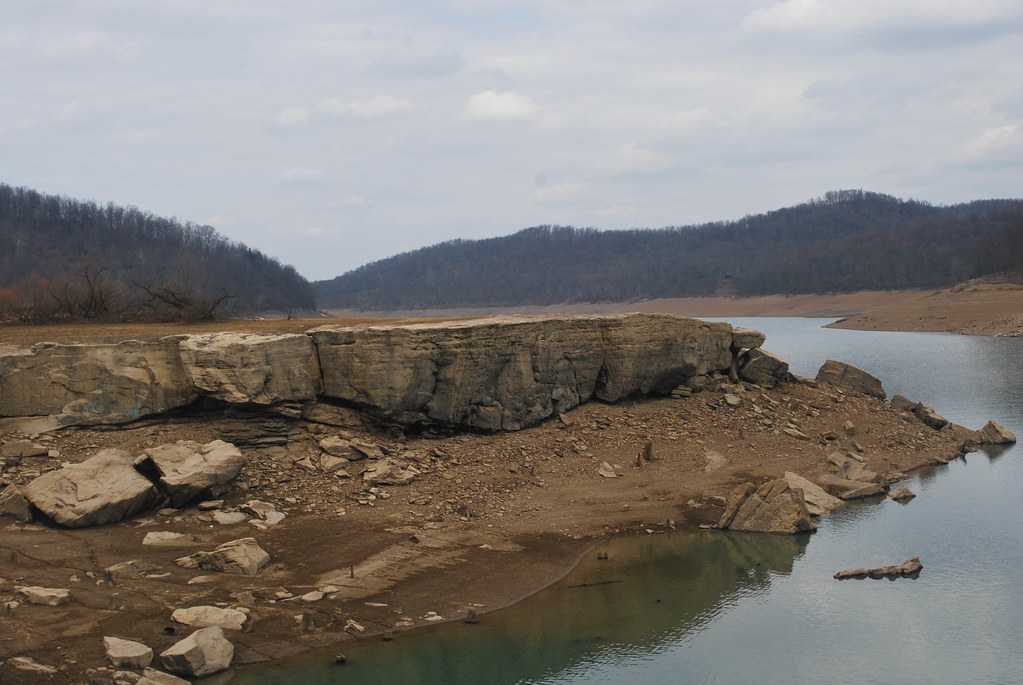
Arden Rocks
Arden Rocks
Topographic Map of Coal Run Rd, Moatsville, WV, USA
Find elevation by address:

Places near Coal Run Rd, Moatsville, WV, USA:
Moatsville
1625 Allen Hill Rd
1065 Shumaker Rd
101 College Hill Dr
Thornton Volunteer Fire Department
Hovatter Rd, Thornton, WV, USA
Thornton
Taylor County
4744 Sinclair Rd
3rd Street
Bowman Hill Rd, Moatsville, WV, USA
Eastern
Webster Pike, Grafton, WV, USA
Webster
245 High St
419 Wilson Ridge Road
Barbour County Hwy, Philippi, WV, USA
Harmony Grove, WV, USA
1112 Sinclair Heights
Grafton
Recent Searches:
- Elevation of Corso Fratelli Cairoli, 35, Macerata MC, Italy
- Elevation of Tallevast Rd, Sarasota, FL, USA
- Elevation of 4th St E, Sonoma, CA, USA
- Elevation of Black Hollow Rd, Pennsdale, PA, USA
- Elevation of Oakland Ave, Williamsport, PA, USA
- Elevation of Pedrógão Grande, Portugal
- Elevation of Klee Dr, Martinsburg, WV, USA
- Elevation of Via Roma, Pieranica CR, Italy
- Elevation of Tavkvetili Mountain, Georgia
- Elevation of Hartfords Bluff Cir, Mt Pleasant, SC, USA