Elevation of Barbour County Hwy, Philippi, WV, USA
Location: United States > West Virginia > Barbour County > North > Philippi >
Longitude: -80.052713
Latitude: 39.200656
Elevation: 425m / 1394feet
Barometric Pressure: 96KPa
Elevation Map:
Satellite Map:
Related Photos:

Still a Diamond

Rusted and Forgotten

Farm Pathway

Old House

Old House - WA from Hilltop

Bidding Me Farewell
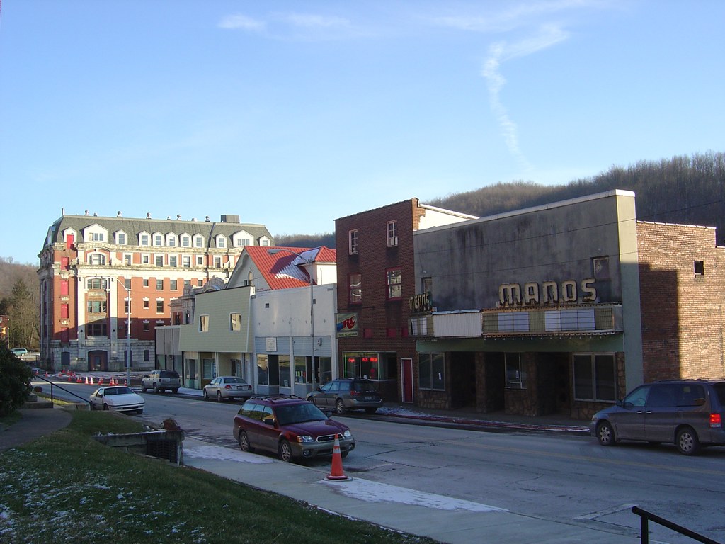
Looking Down The Street

One Good Wind Came
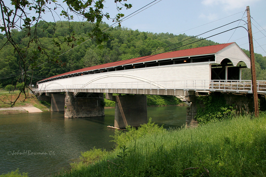
Philippi Covered Bridge - West Virginia
Philippi Covered Bridge
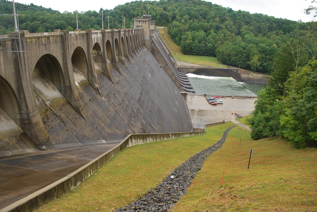
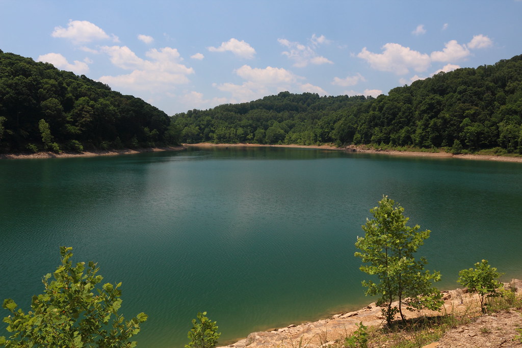
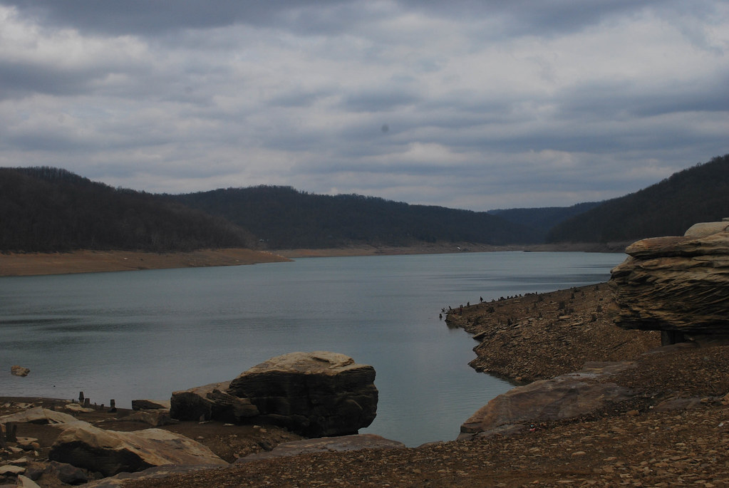
Tygart Dam
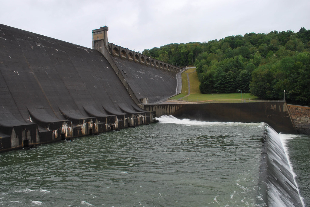
Tygart Dam
West Virginia | Grafton
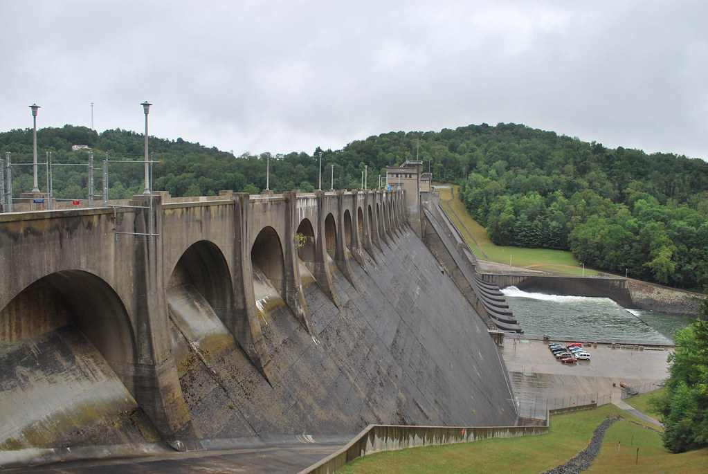
Tygart Dam
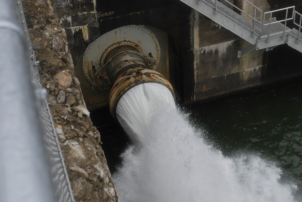
Tygart Dam
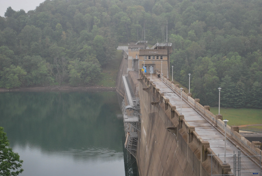
Tygart Dam
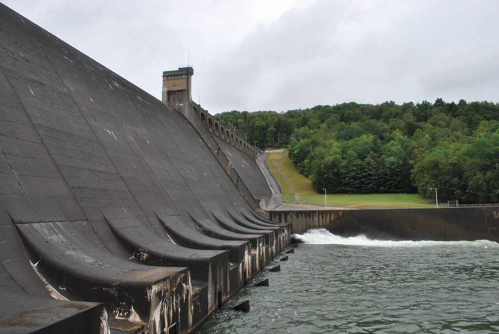
Tygart Dam
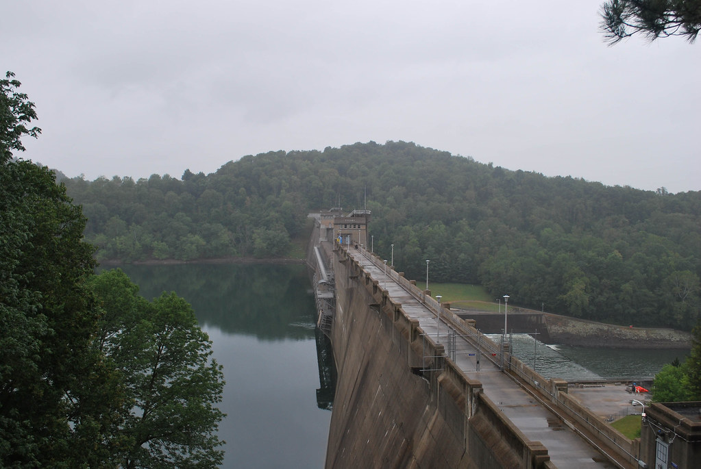
Tygart Dam

Tygart Dam

Dentist's Chair, Long View
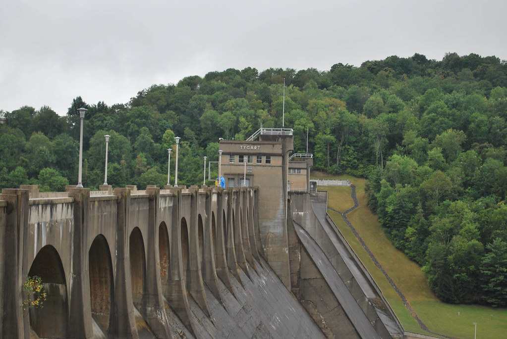
Tygart Dam
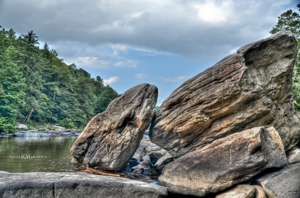
Tygart Valley River Boulders
Pleasant Creek

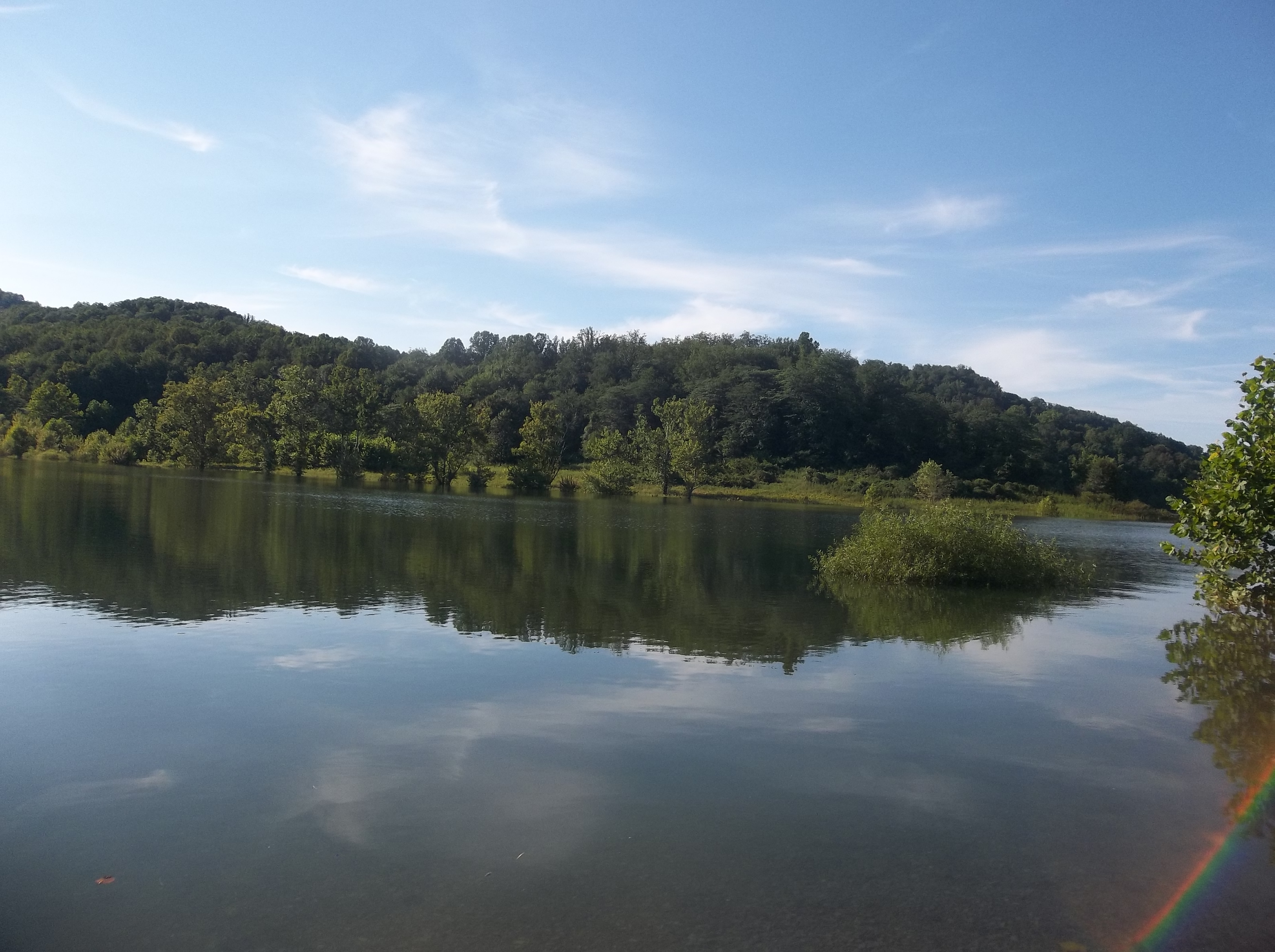
WV Wetlands
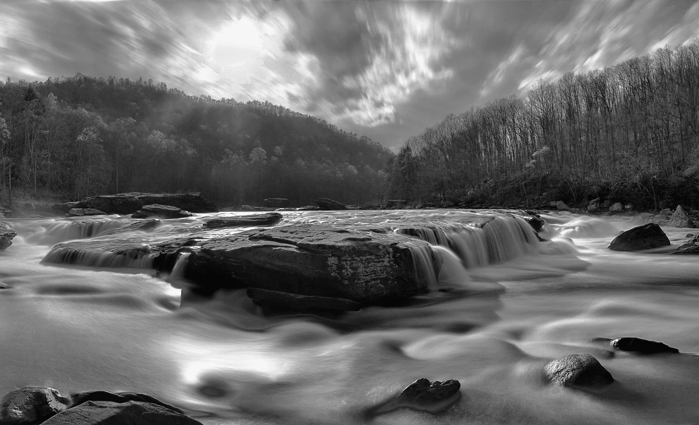
Moats Falls on the Tygart River, just below Arden. (Panorama)
Woods behind my parents' house

Pine needles

Tygart Valley River Boulders B&W
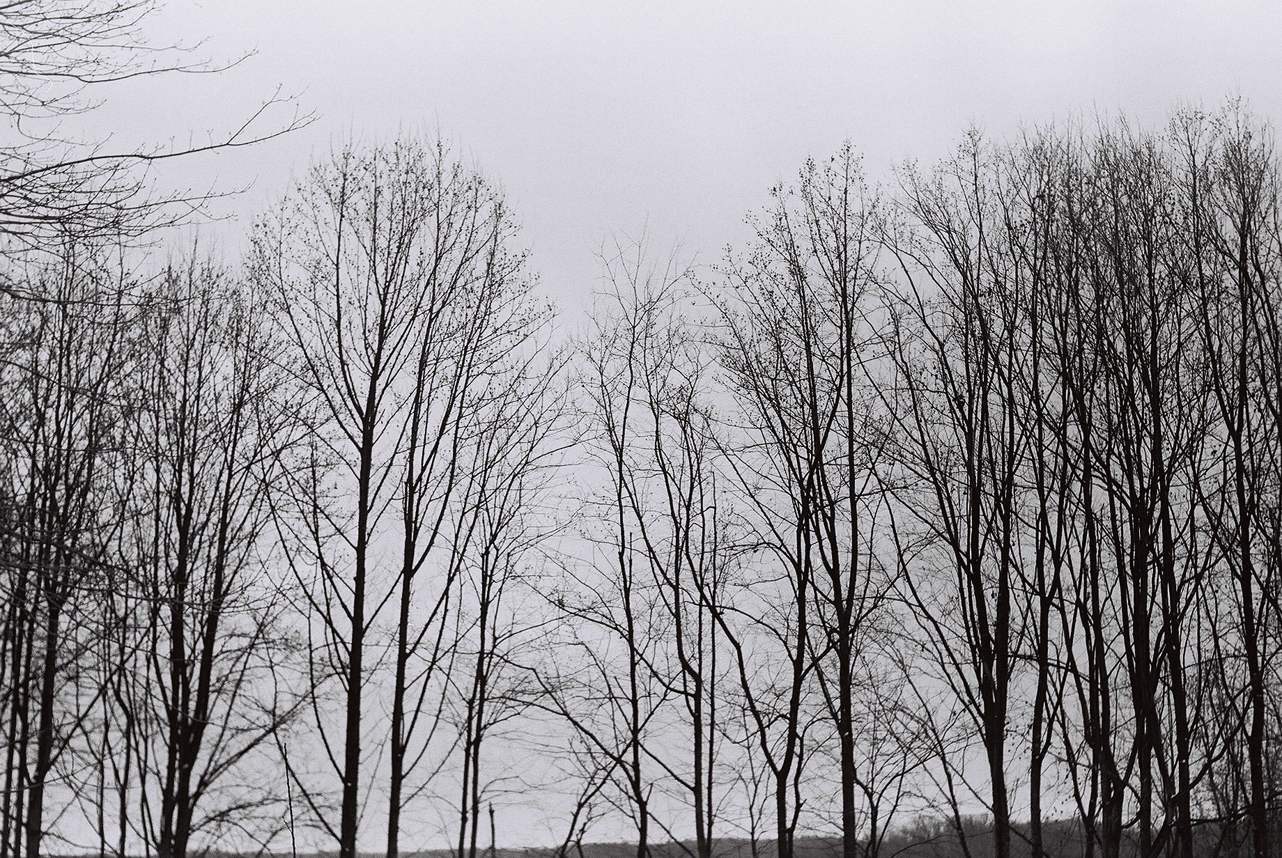
Tree branches
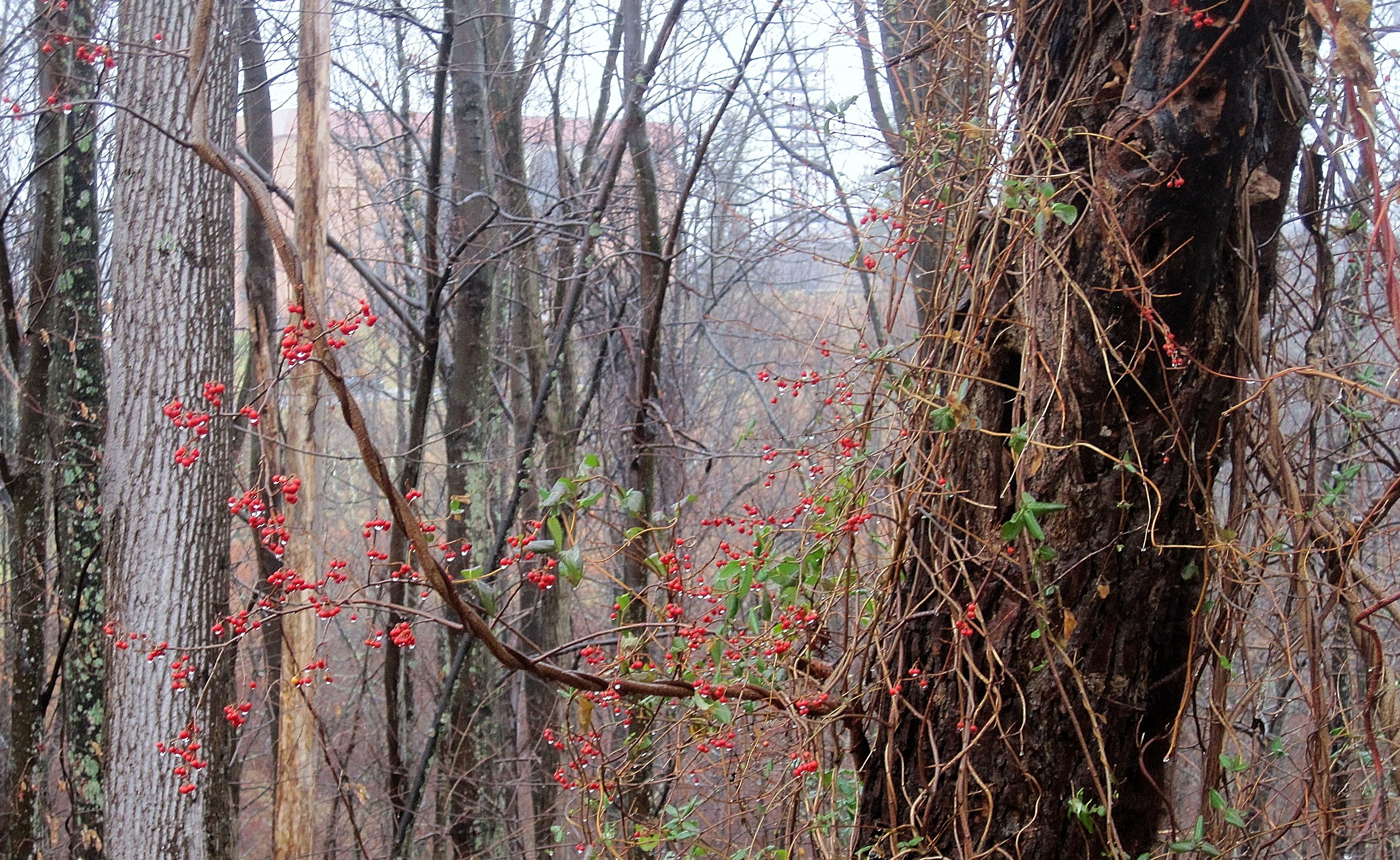
Berries in the woods

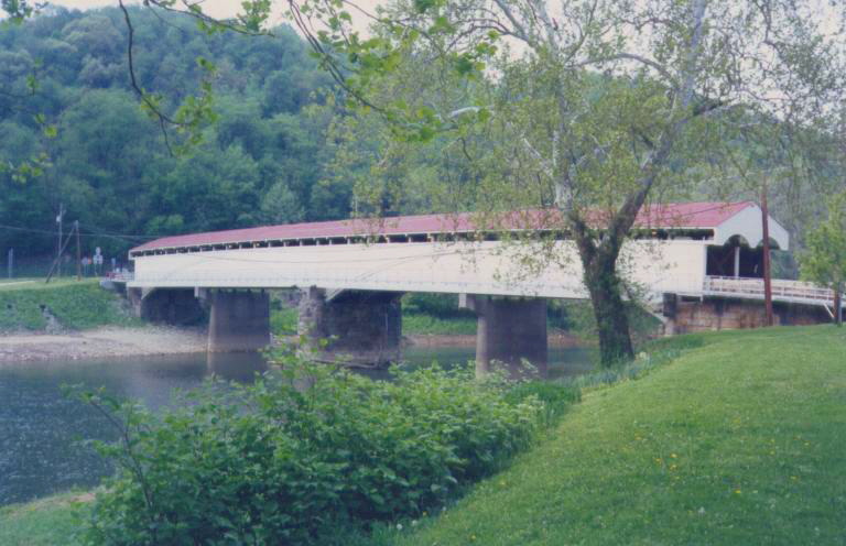
Philippi Covered Bridge
Pleasant Creek Wildlife Management Area
Pleasant Creek
Grafton, WV

Pleasant Creek Wildlife Management Area

Philippi in autumn
Pleasant Creek Wildlife Management Area
Pleasant Creek Wildlife Management Area
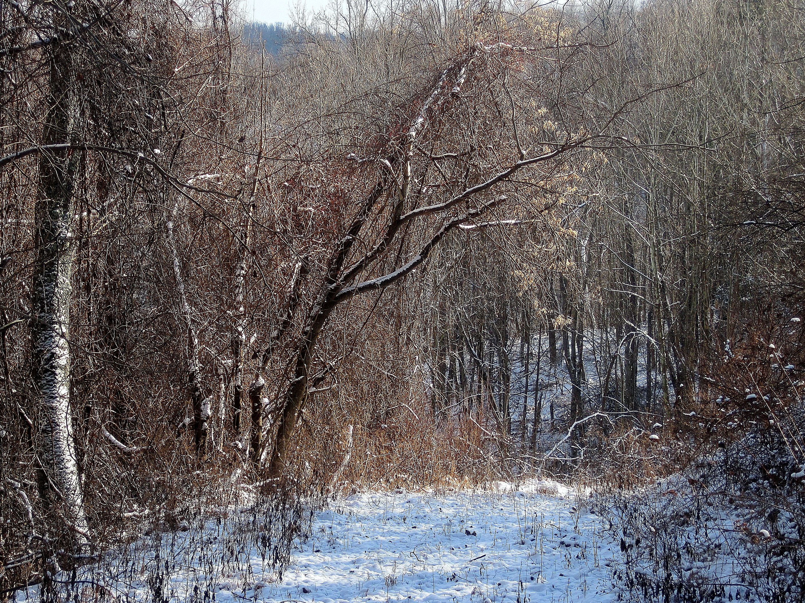
Path through woods
Topographic Map of Barbour County Hwy, Philippi, WV, USA
Find elevation by address:

Places near Barbour County Hwy, Philippi, WV, USA:
29 Patsys Store Rd, Philippi, WV, USA
101 College Hill Dr
1625 Allen Hill Rd
Webster Pike, Grafton, WV, USA
Webster
Bear Mountain Rd, Flemington, WV, USA
Flemington
Tygart
Moatsville
Coal Run Rd, Moatsville, WV, USA
Harmony Grove, WV, USA
2006 Trap Springs Rd
15 Valley Falls Rd, Grafton, WV, USA
245 High St
237 Thayer St
George Washington Hwy, Grafton, WV, USA
3rd Street
647 W Wilford St
Grafton
1065 Shumaker Rd
Recent Searches:
- Elevation of Fern Rd, Whitmore, CA, USA
- Elevation of 62 Abbey St, Marshfield, MA, USA
- Elevation of Fernwood, Bradenton, FL, USA
- Elevation of Felindre, Swansea SA5 7LU, UK
- Elevation of Leyte Industrial Development Estate, Isabel, Leyte, Philippines
- Elevation of W Granada St, Tampa, FL, USA
- Elevation of Pykes Down, Ivybridge PL21 0BY, UK
- Elevation of Jalan Senandin, Lutong, Miri, Sarawak, Malaysia
- Elevation of Bilohirs'k
- Elevation of 30 Oak Lawn Dr, Barkhamsted, CT, USA