Elevation of Co Rd, West Fork, AR, USA
Location: United States > Arkansas > Washington County > West Fork Township > West Fork >
Longitude: -94.273050
Latitude: 35.9035301
Elevation: 522m / 1713feet
Barometric Pressure: 95KPa
Elevation Map:
Satellite Map:
Related Photos:
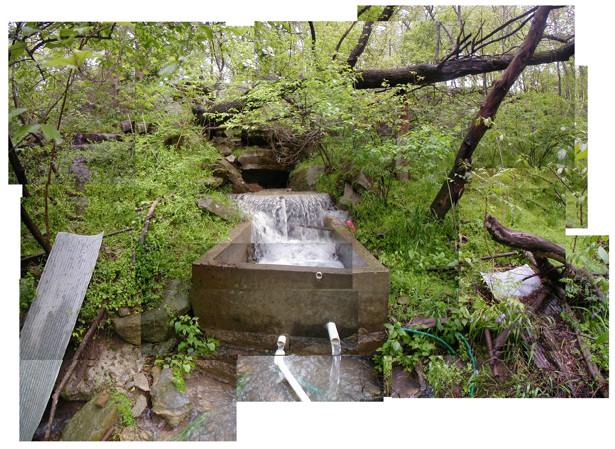
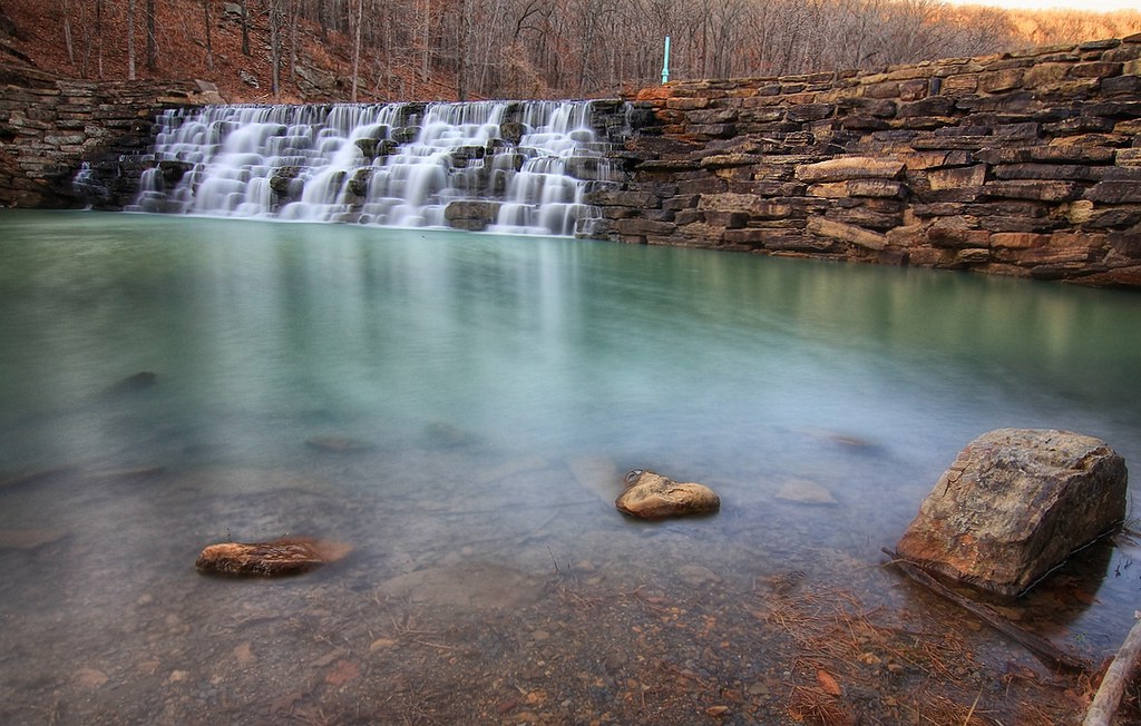
Devil's Den Spillway

Fifi III: Pilot's eye view

Death is Like This & I'm Sorry for Them All (9-11 attacks were 11 years ago today).

Front Porch View
Butterfield View
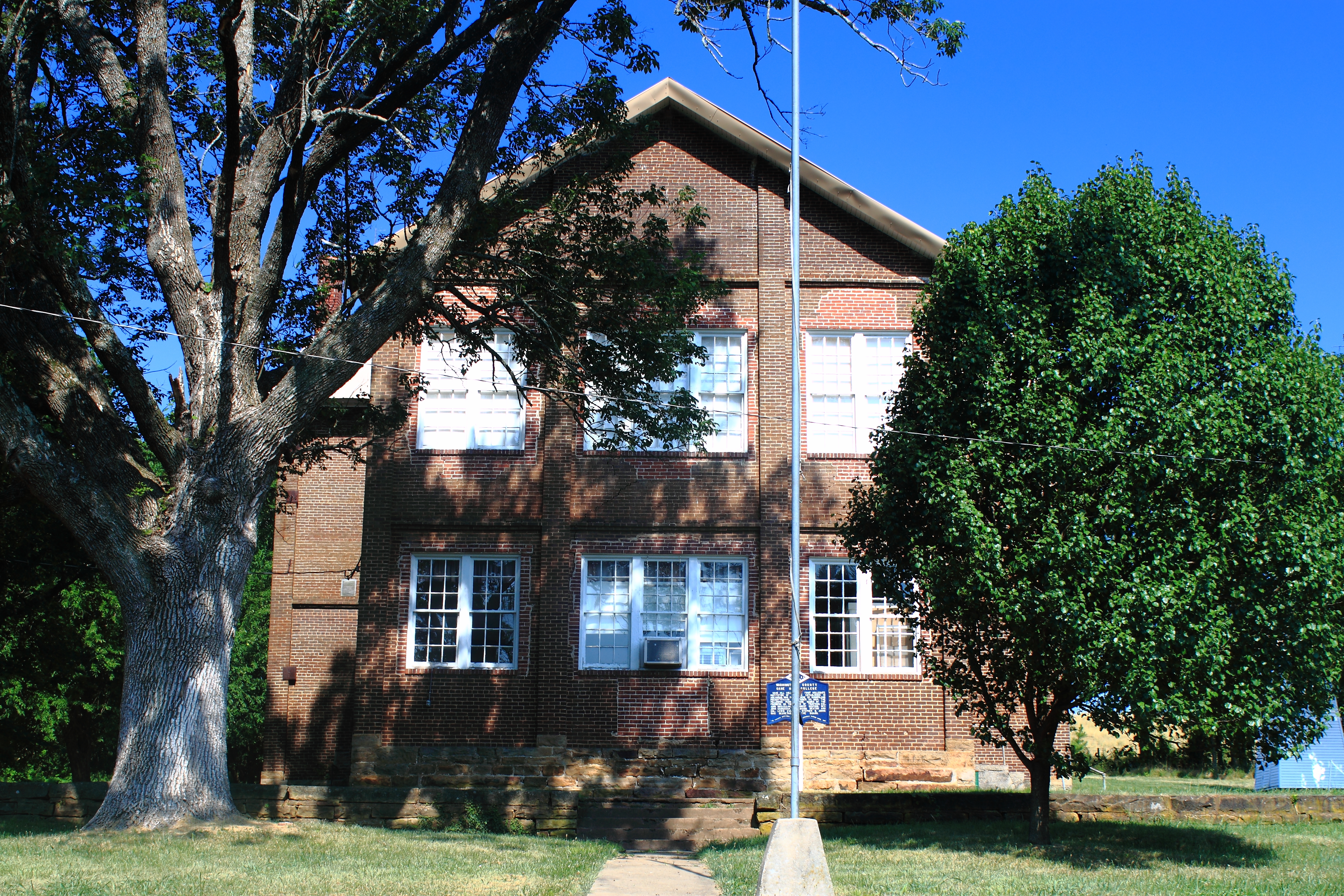
North View of Cane Hill College - Cane Hill, Arkansas

Show Me
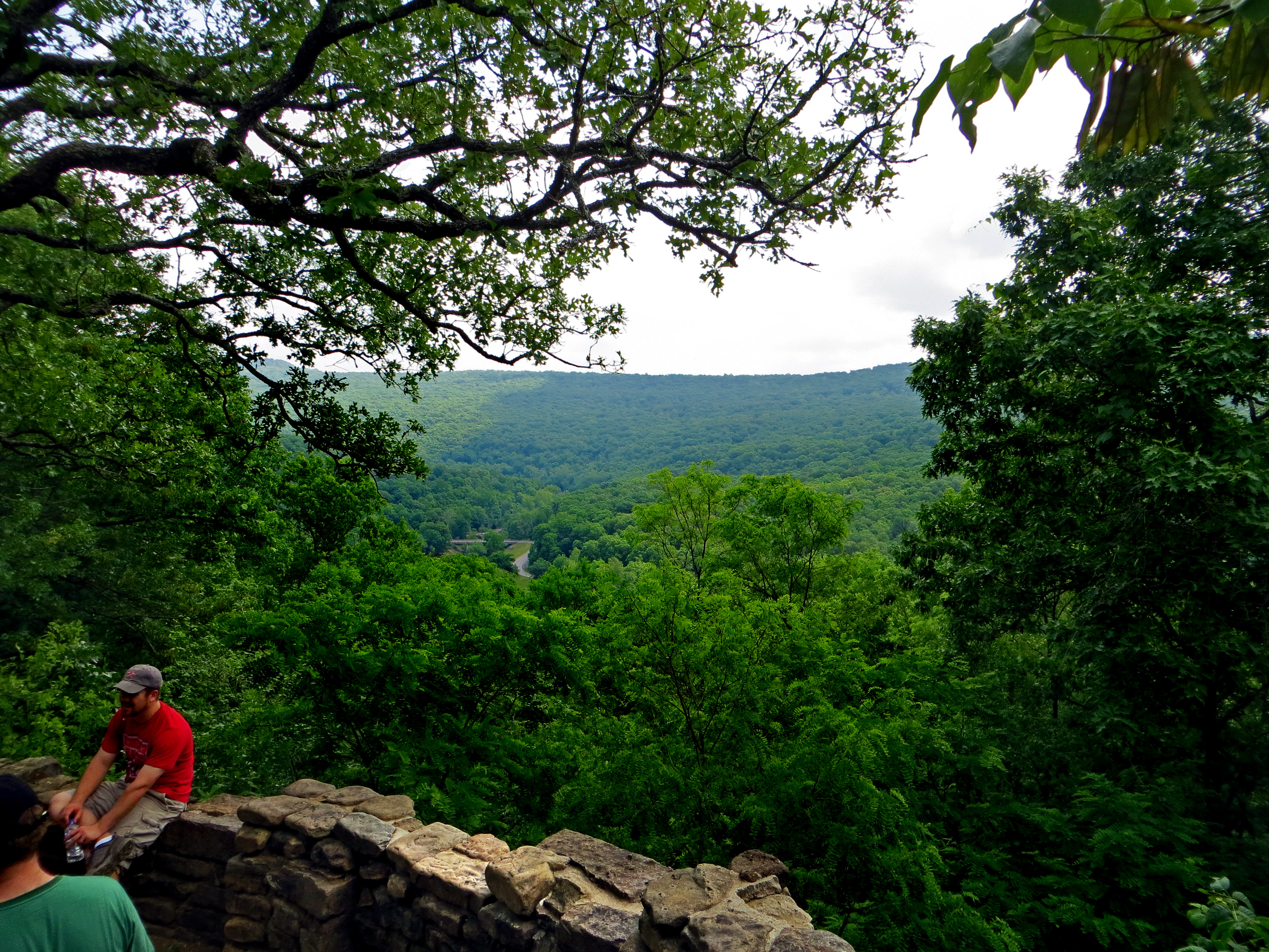
Panorama View of Lee Creek Vally at Yellow Rock Viewpoint
South View of Cane Hill College - Cane Hill, Arkansas
Baseflow x100
View from the CCC Overlook
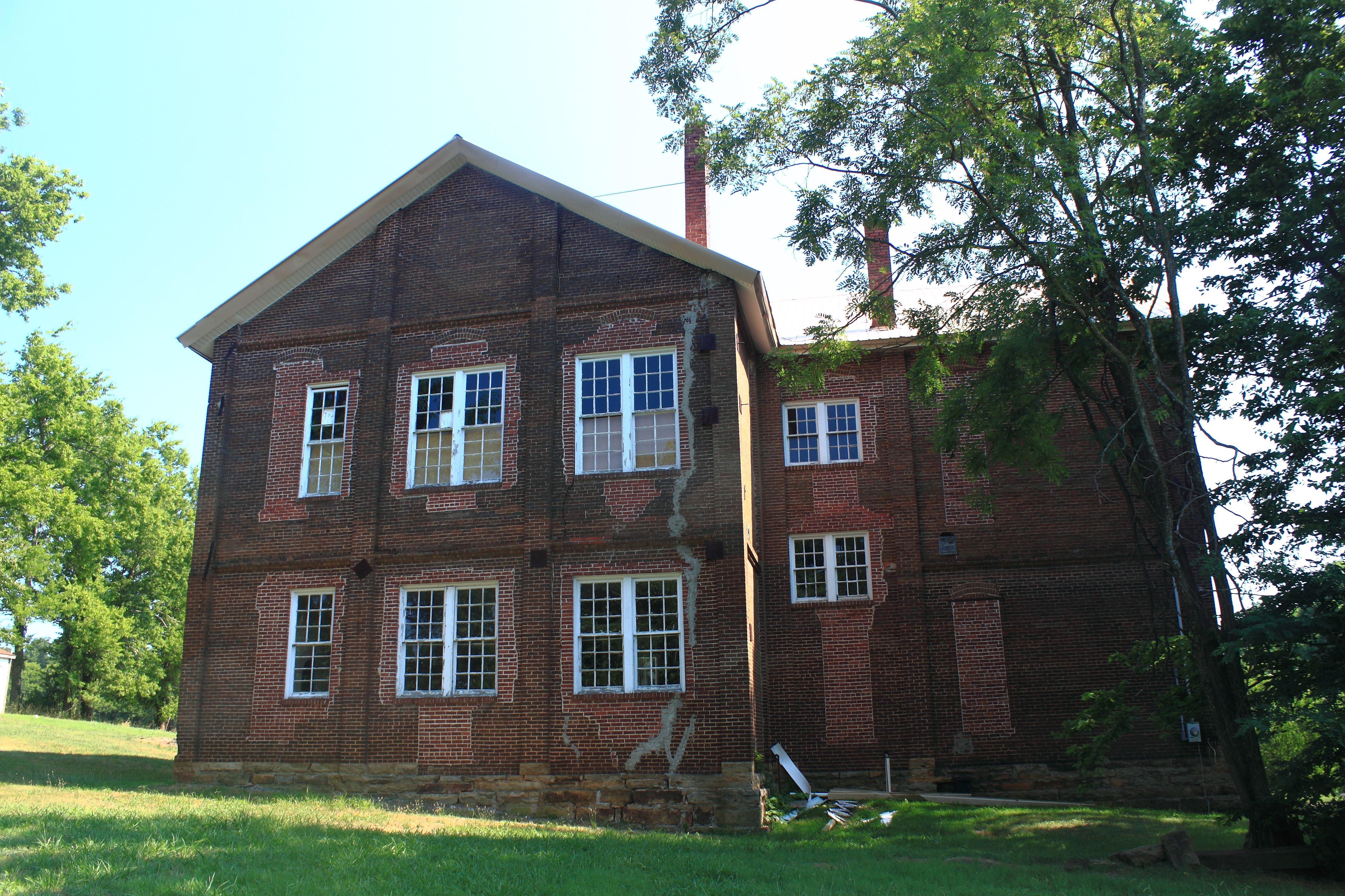
East View of Cane Hill College - Cane Hill, Arkansas
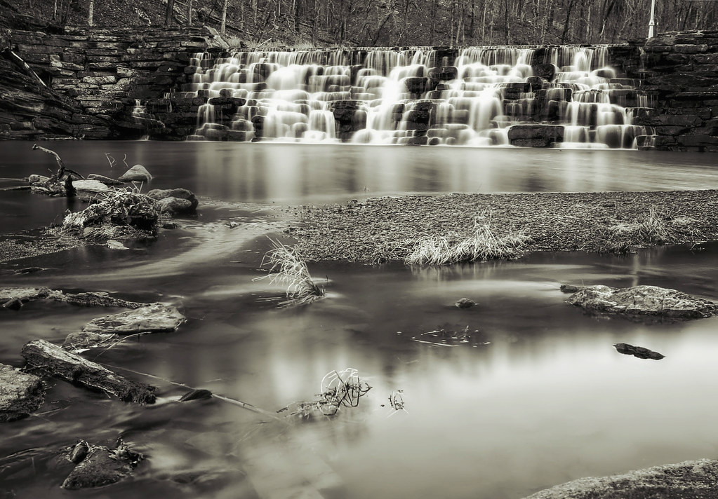
Devil's Den Spillway

Devil's (Den) Advocate
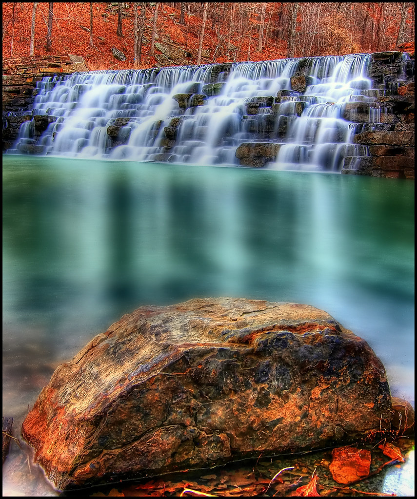
Devil's Den Spillway
overprocessed overcooked overeverything
Still standing
morning sun
Devil's Den Spillway
????????????

The Hunger is Strong
our picnic @ devil's den may 2009 (26)
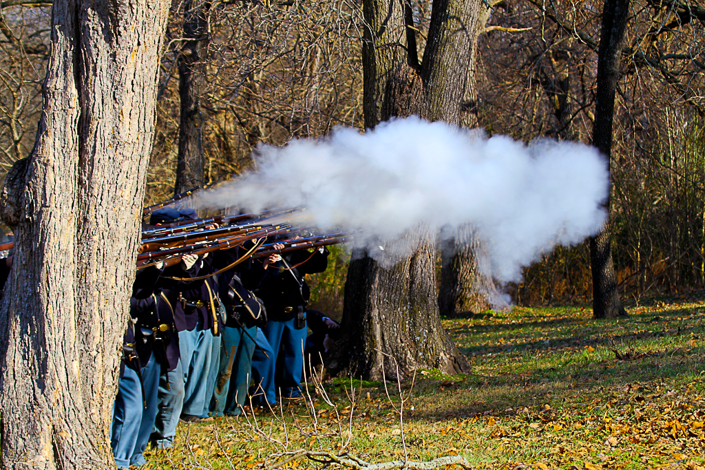
2010-12-04 Prairie Grove Reenactment (465)
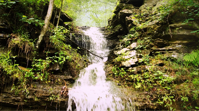
Devil's Water
Topographic Map of Co Rd, West Fork, AR, USA
Find elevation by address:

Places near Co Rd, West Fork, AR, USA:
Valley Township
AR-, West Fork, AR, USA
W Buchanan St, Prairie Grove, AR, USA
109 E Bush St
12799 Co Rd 8
12799 Co Rd 8
Cane Hill Township
Bob Kidd Lake
Richardson Road
W Battlefield Park Rd, Prairie Grove, AR, USA
AR-, Farmington, AR, USA
Center Township
Canehill
Clyde Rd, Canehill, AR, USA
Co Rd 33, Lincoln, AR, USA
Marrs Hill Township
2012 S Mitchell Ave
Arthur Ave S, Lincoln, AR, USA
Lincoln Township
Lincoln
Recent Searches:
- Elevation of S Layton Cir W, Layton, UT, USA
- Elevation of F36W+3M, Mussoorie, Uttarakhand, India
- Elevation of Fairland Ave, Fairhope, AL, USA
- Elevation of Sunset Dr, Richmond, VA, USA
- Elevation of Grodna District, Hrodna Region, Belarus
- Elevation of Hrodna, Hrodna Region, Belarus
- Elevation of Sandia Derby Estates, Tijeras, NM, USA
- Elevation of 23 Sunrise View Ct, Tijeras, NM, USA
- Elevation of Lytham Ln, Katy, TX, USA
- Elevation of Tater Hill, Oklahoma, USA