Elevation of Valley Township, AR, USA
Location: United States > Arkansas > Washington County >
Longitude: -94.264103
Latitude: 35.894201
Elevation: 449m / 1473feet
Barometric Pressure: 96KPa
Elevation Map:
Satellite Map:
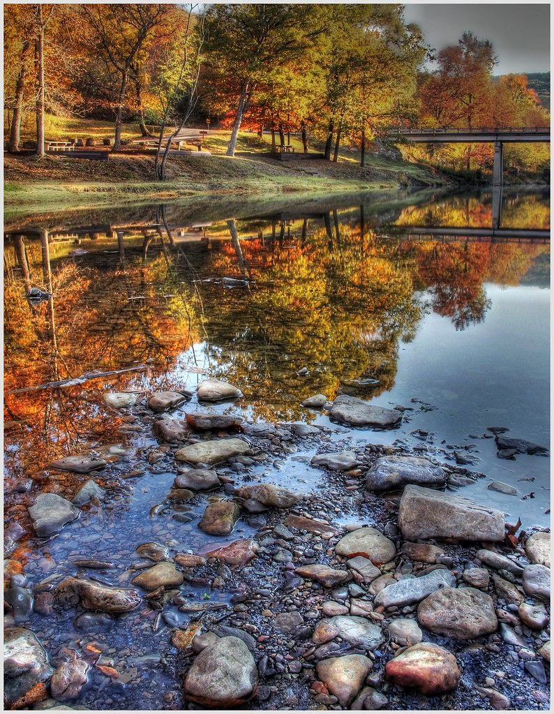
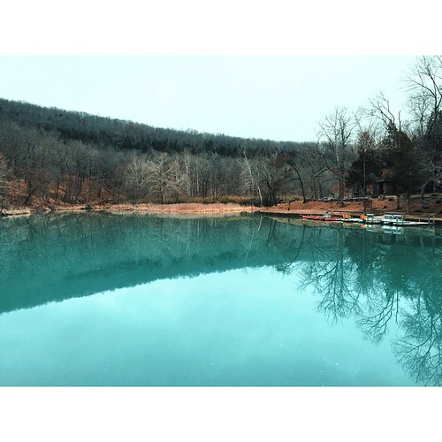
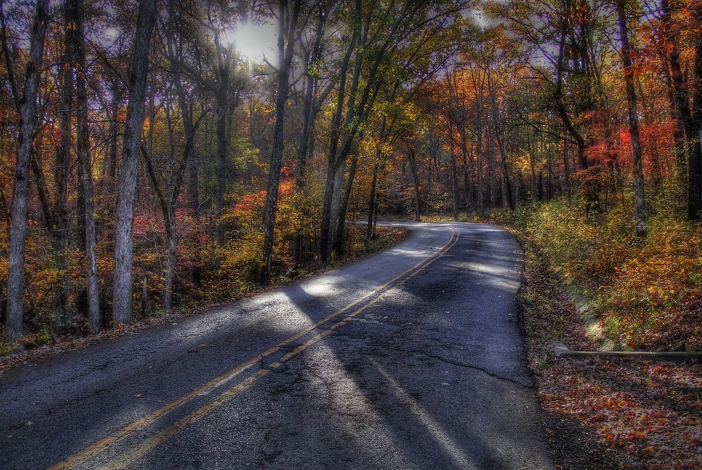
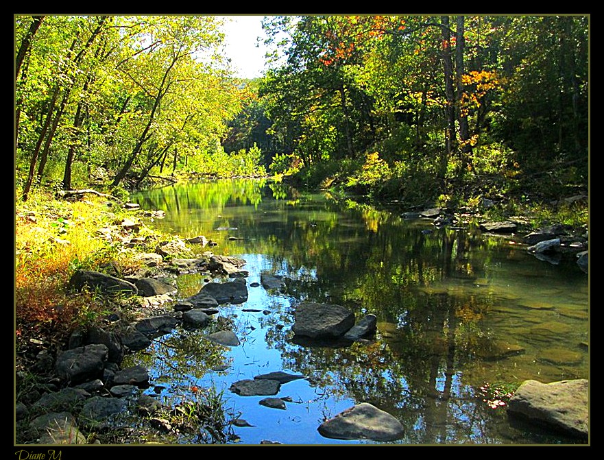
Related Photos:
I could hear the earth's chorus and all I could do was cry for the beauty and the pain.
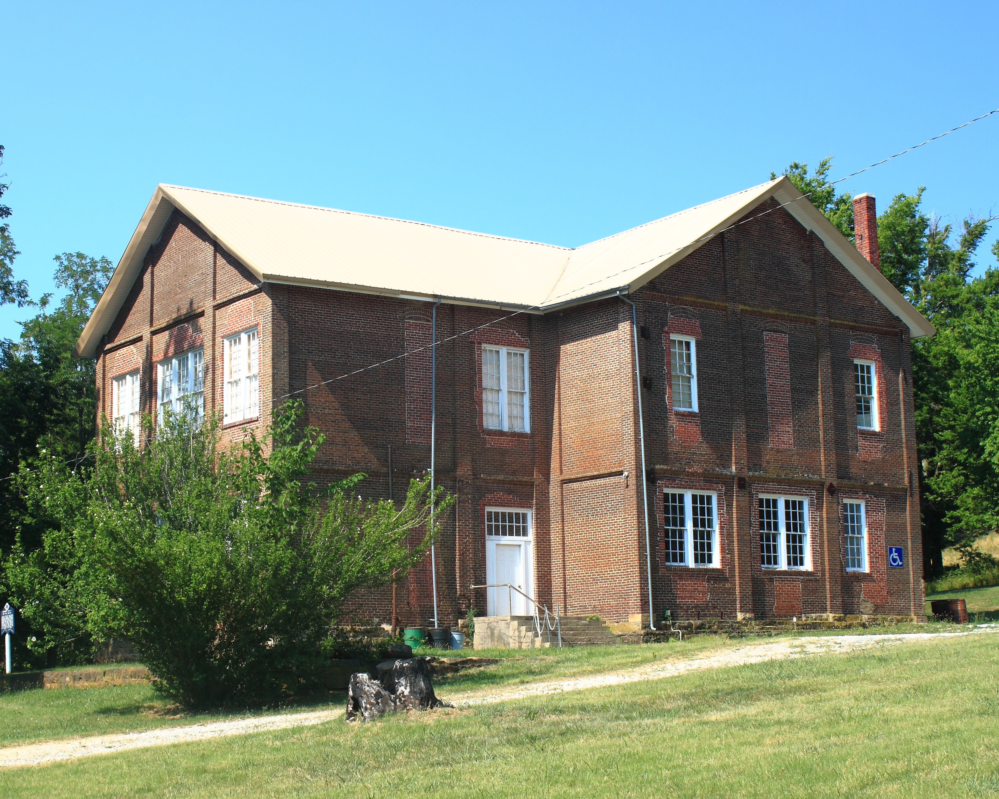
Northeast View of Cane Hill College - Cane Hill, Arkansas
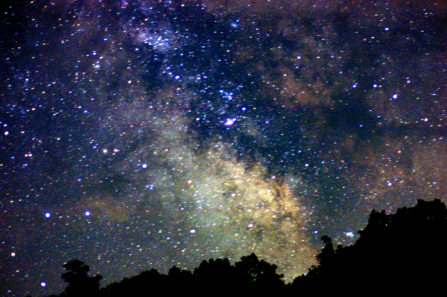
Summer Milky Way Full Frame at 50mm f/1.7
Almost home... My jammies are calling. #triptophilly

Fifi III: Pilot's eye view

Death is Like This & I'm Sorry for Them All (9-11 attacks were 11 years ago today).
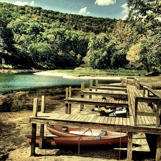
Devil's Den Spillway
IMG_1149.2
Is 4500 feet Enough?
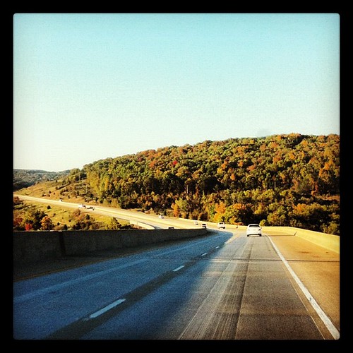
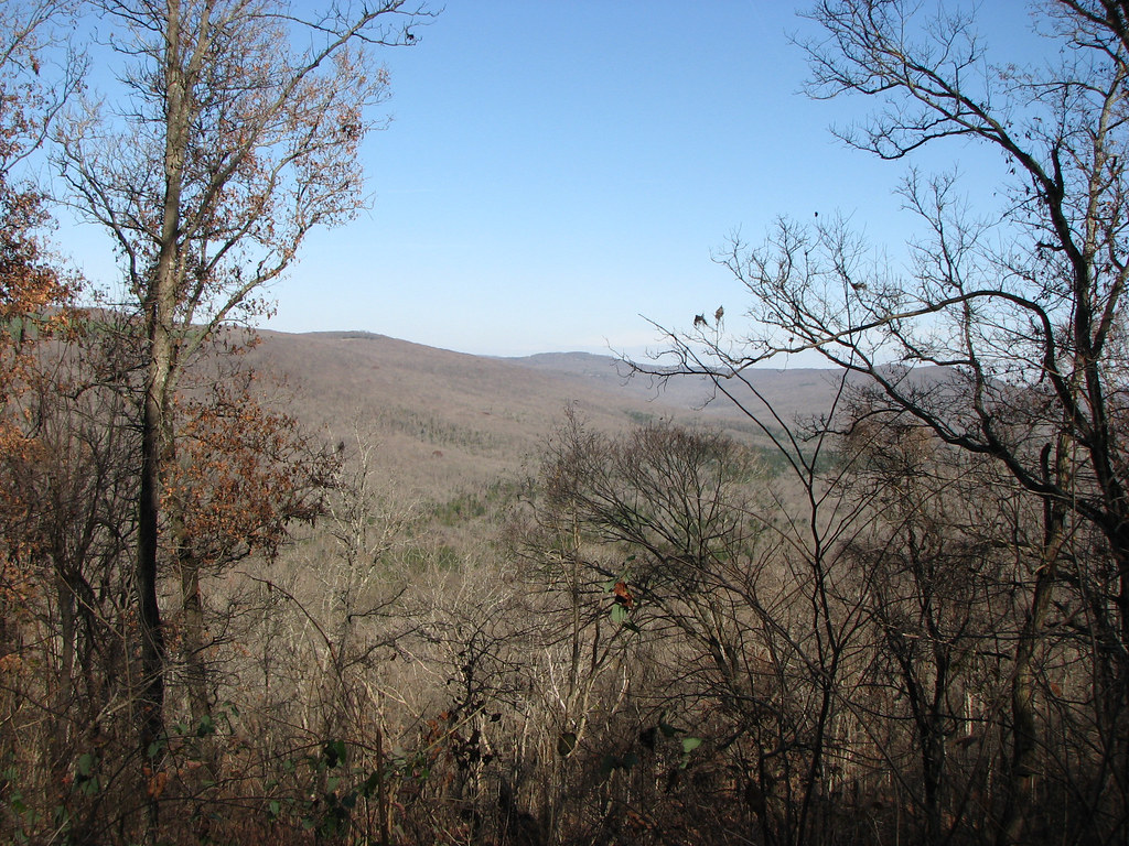
Panorama View of Lee Creek Vally at Yellow Rock Viewpoint
Butterfield View

Show Me
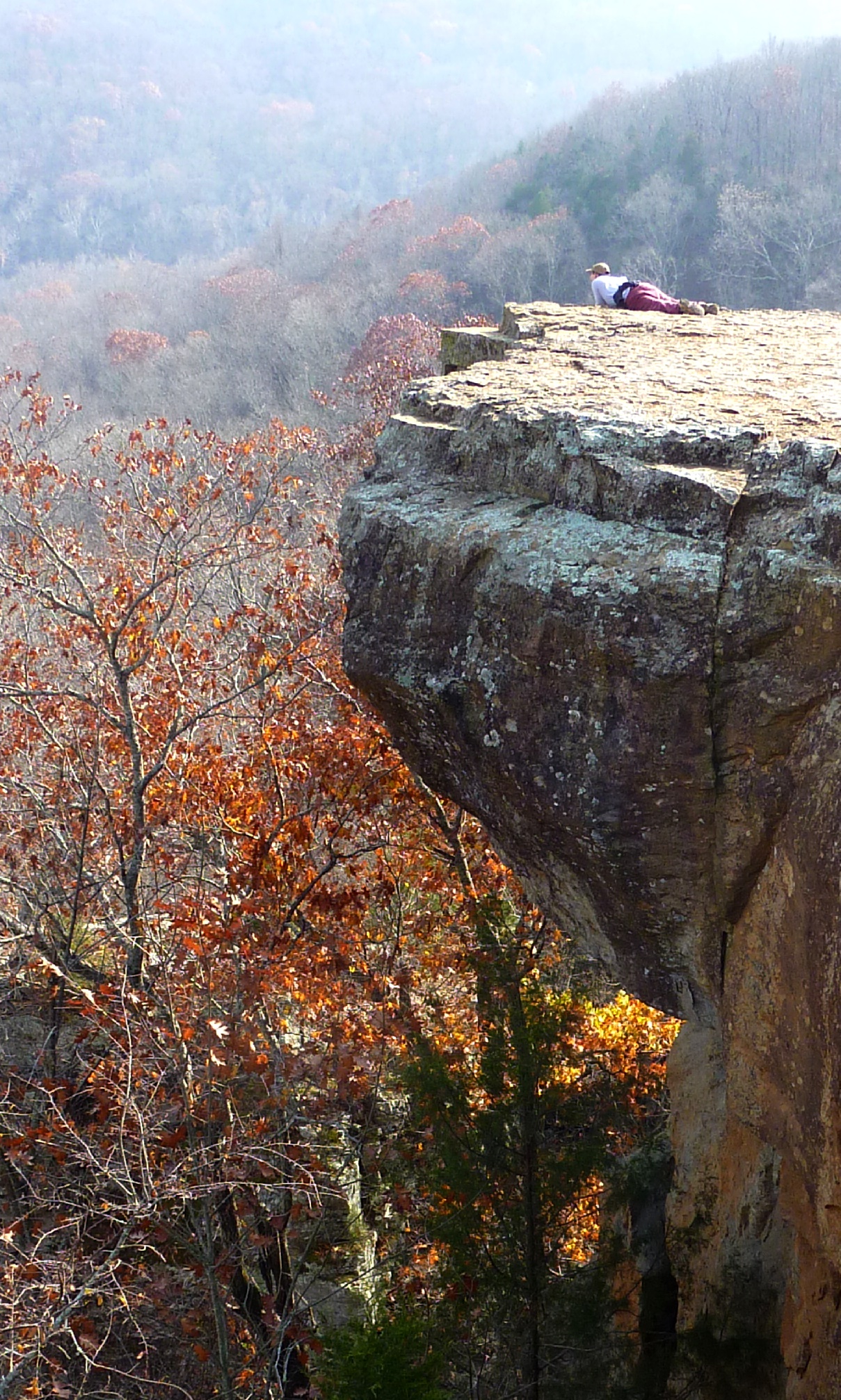
What a View
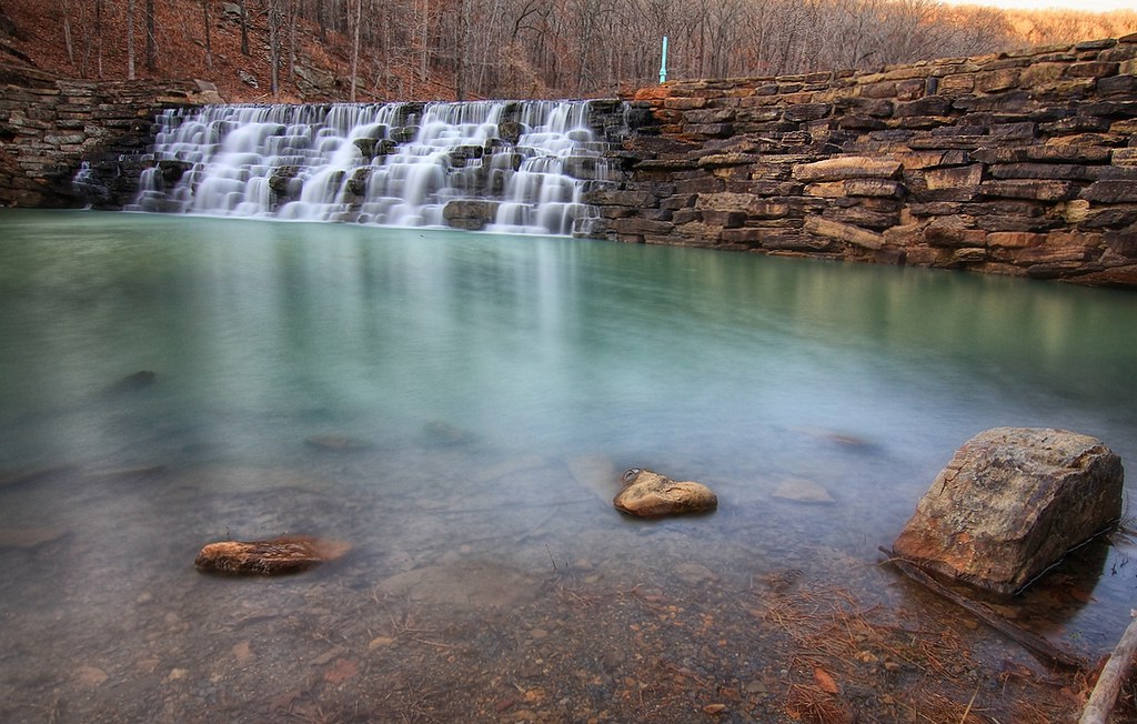
Devil's Den Spillway
overprocessed overcooked overeverything
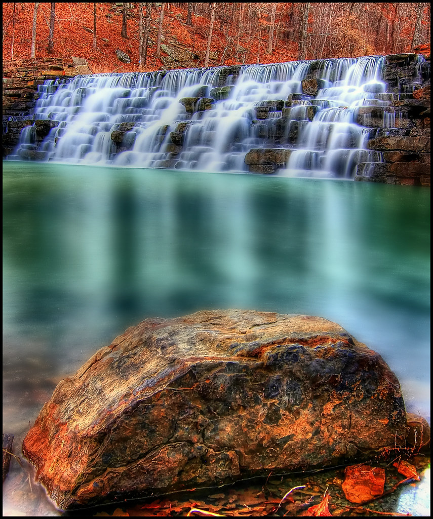
Devil's Den State Park
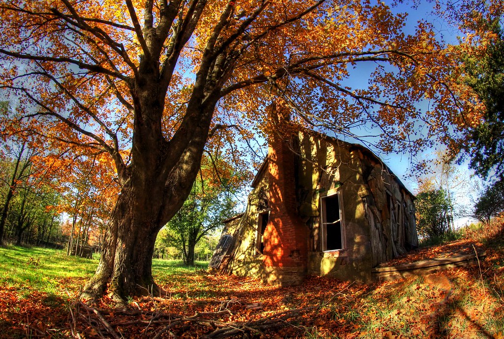
Still standing

Devil's (Den) Advocate
????????????
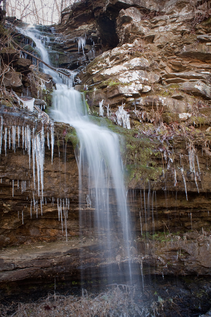
engagement falls
morning sun
Devil's Den
Topographic Map of Valley Township, AR, USA
Find elevation by address:

Places in Valley Township, AR, USA:
Places near Valley Township, AR, USA:
14730 Co Rd 2066
AR-, West Fork, AR, USA
W Buchanan St, Prairie Grove, AR, USA
109 E Bush St
12799 Co Rd 8
12799 Co Rd 8
Cane Hill Township
Richardson Road
Bob Kidd Lake
AR-, Farmington, AR, USA
Center Township
W Battlefield Park Rd, Prairie Grove, AR, USA
Canehill
Clyde Rd, Canehill, AR, USA
Co Rd 33, Lincoln, AR, USA
Marrs Hill Township
2012 S Mitchell Ave
Arthur Ave S, Lincoln, AR, USA
Lincoln Township
Lincoln
Recent Searches:
- Elevation of Zimmer Trail, Pennsylvania, USA
- Elevation of 87 Kilmartin Ave, Bristol, CT, USA
- Elevation of Honghe National Nature Reserve, QP95+PJP, Tongjiang, Heilongjiang, Jiamusi, Heilongjiang, China
- Elevation of Hercules Dr, Colorado Springs, CO, USA
- Elevation of Szlak pieszy czarny, Poland
- Elevation of Griffing Blvd, Biscayne Park, FL, USA
- Elevation of Kreuzburger Weg 13, Düsseldorf, Germany
- Elevation of Gateway Blvd SE, Canton, OH, USA
- Elevation of East W.T. Harris Boulevard, E W.T. Harris Blvd, Charlotte, NC, USA
- Elevation of West Sugar Creek, Charlotte, NC, USA