Elevation of Co Rd, Tatum, TX, USA
Location: United States > Texas > Rusk County > Tatum >
Longitude: -94.589118
Latitude: 32.2572471
Elevation: 114m / 374feet
Barometric Pressure: 100KPa
Elevation Map:
Satellite Map:
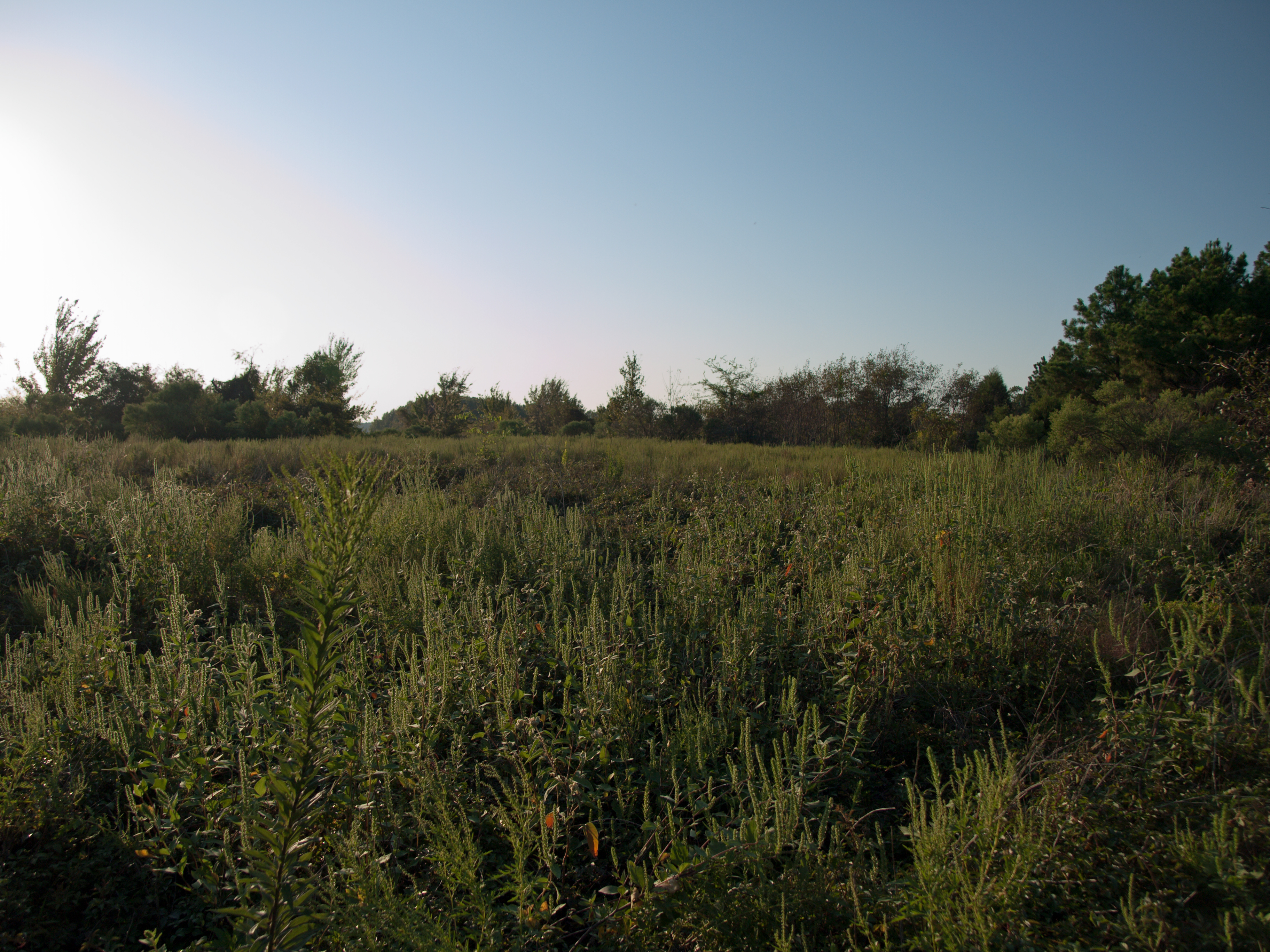
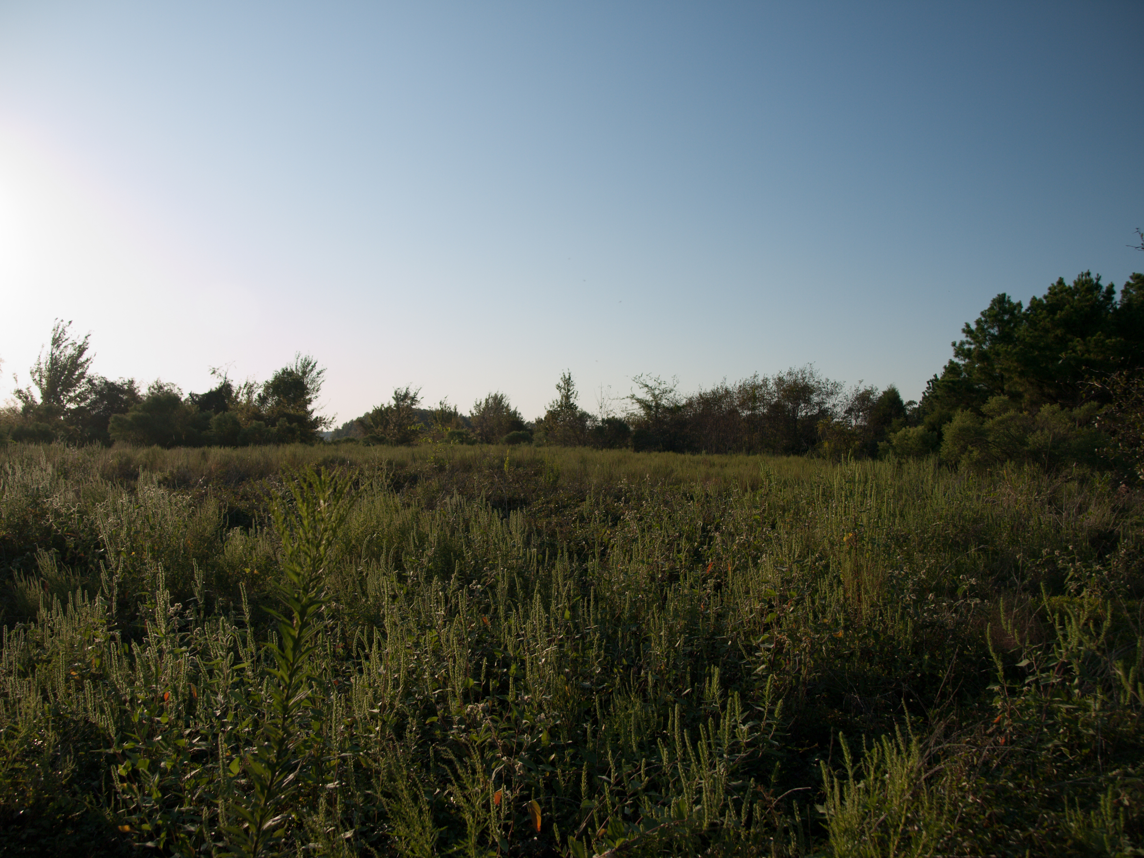
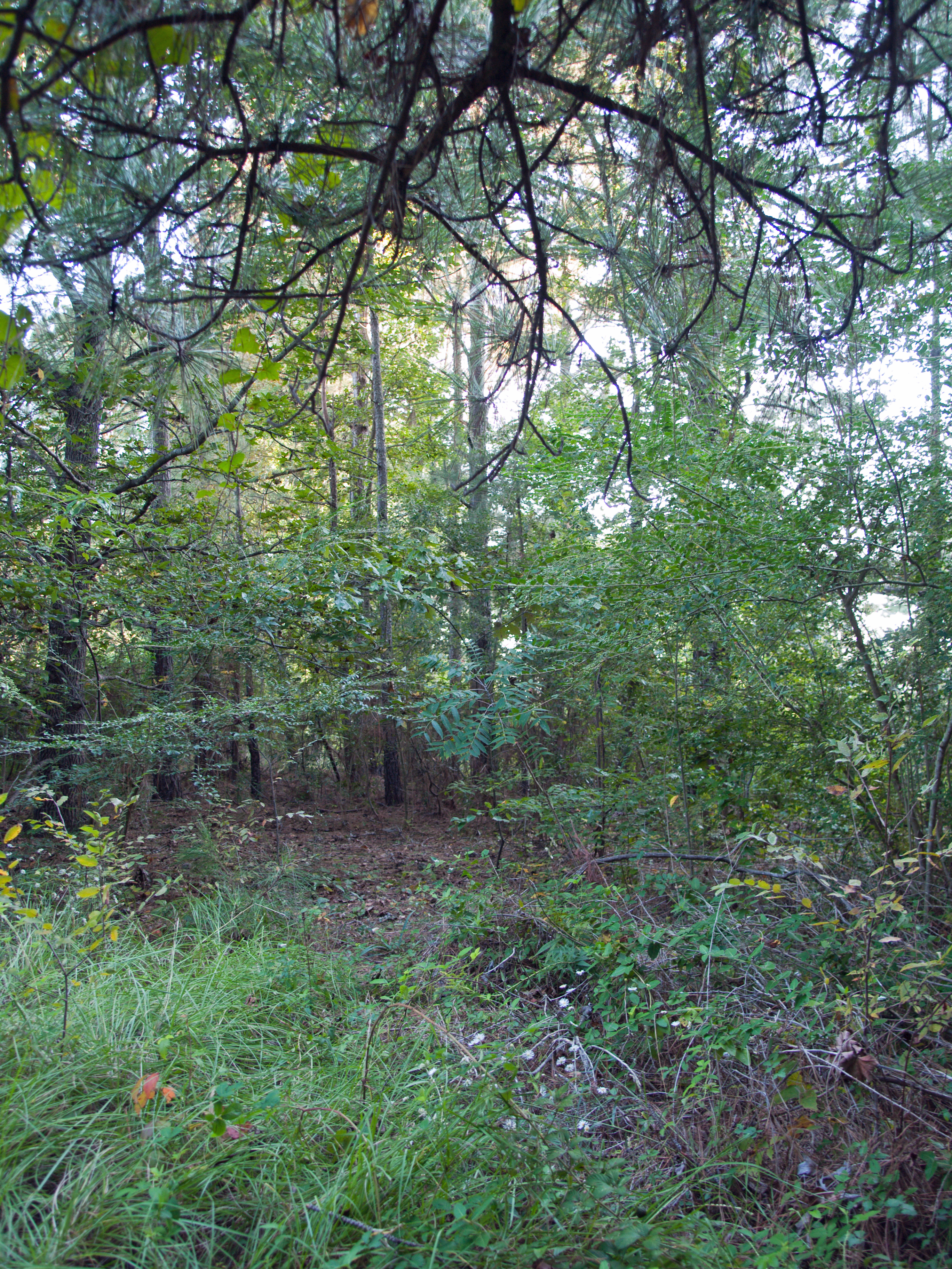
Related Photos:

Perception of BEAUTY...

Typha latifolia

Martin Creek Lake - 11

Sunset On Martin Creek Lake - 10

Sunset On Martin Creek Lake - 3

Martin Creek Lake - 12

Martin Creek Lake - 13

Martin Creek Lake - 17
Martin Creek Lake - 15
Martin Creek Lake - 16
Martin Creek Lake - 10

On another LEVEL...
Topographic Map of Co Rd, Tatum, TX, USA
Find elevation by address:

Places near Co Rd, Tatum, TX, USA:
Fm 782 & Fm 1797
14504 Fm 782
Tatum
FM, Henderson, TX, USA
Beckville
Mccann Branch
FM, Kilgore, TX, USA
402 E Main St
Henderson
Rusk County
2001 W Main St
4857 Fm 225
Carthage
US-, Overton, TX, USA
Panola County
6350 Tx-323
6350 Tx-323
6350 Tx-323
Co Rd, Gary City, TX, USA
TX-64, Henderson, TX, USA
Recent Searches:
- Elevation of Leguwa, Nepal
- Elevation of County Rd, Enterprise, AL, USA
- Elevation of Kolchuginsky District, Vladimir Oblast, Russia
- Elevation of Shustino, Vladimir Oblast, Russia
- Elevation of Lampiasi St, Sarasota, FL, USA
- Elevation of Elwyn Dr, Roanoke Rapids, NC, USA
- Elevation of Congressional Dr, Stevensville, MD, USA
- Elevation of Bellview Rd, McLean, VA, USA
- Elevation of Stage Island Rd, Chatham, MA, USA
- Elevation of Shibuya Scramble Crossing, 21 Udagawacho, Shibuya City, Tokyo -, Japan