Elevation of Henderson, TX, USA
Location: United States > Texas > Rusk County >
Longitude: -94.799380
Latitude: 32.1532156
Elevation: 157m / 515feet
Barometric Pressure: 99KPa
Elevation Map:
Satellite Map:
Related Photos:
At night I dream you and I are two plants who grew together, roots entwined, and that you know the earth and the rain like my mouth, since we are made of earth and rain. ― Pablo Neruda

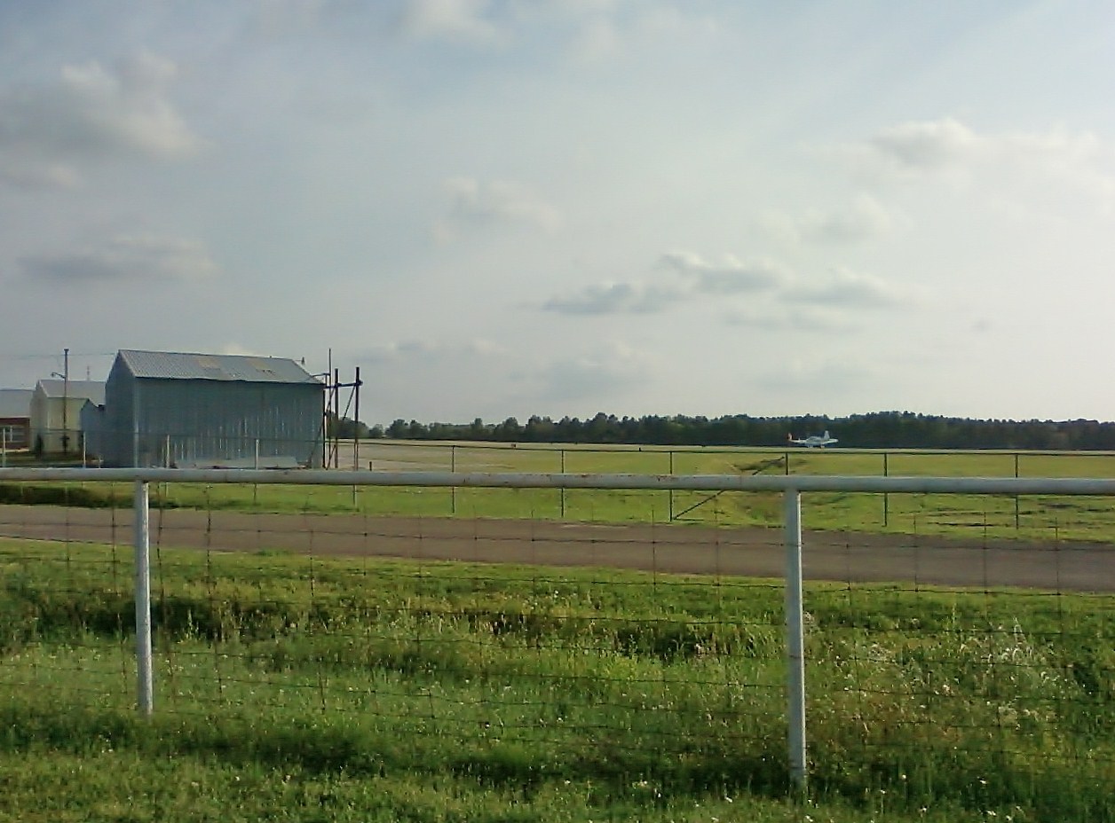
Rusk County Airport

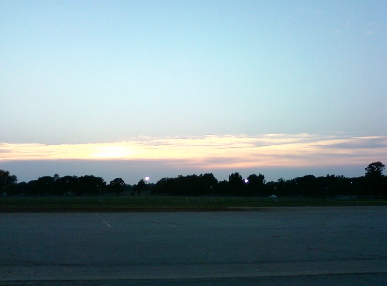
Sky 3
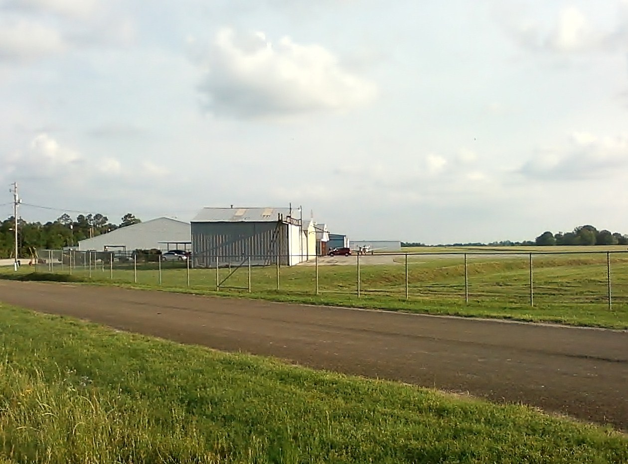
Rusk County Airport

Sky 1
Sky 2
Rusk County Airport

Rusk County Airport

At the local cinema

The Rolling Stones

Shadow Cat
Henderson Daily News
MoJoes Coffee Cafe
Mural in Downtown Henderson

Miss M927
disco lights

Framed Laser

laser lights
Laser Lights
Tree base

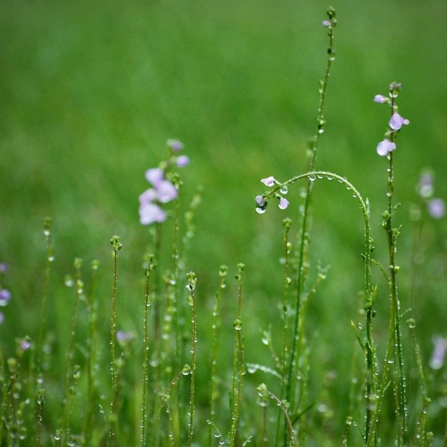
Morning Dew

Christmas Lights
Miss M927

Fall Foliage

First Frost

Laser Lights

Laser Lights
Badtz Maru
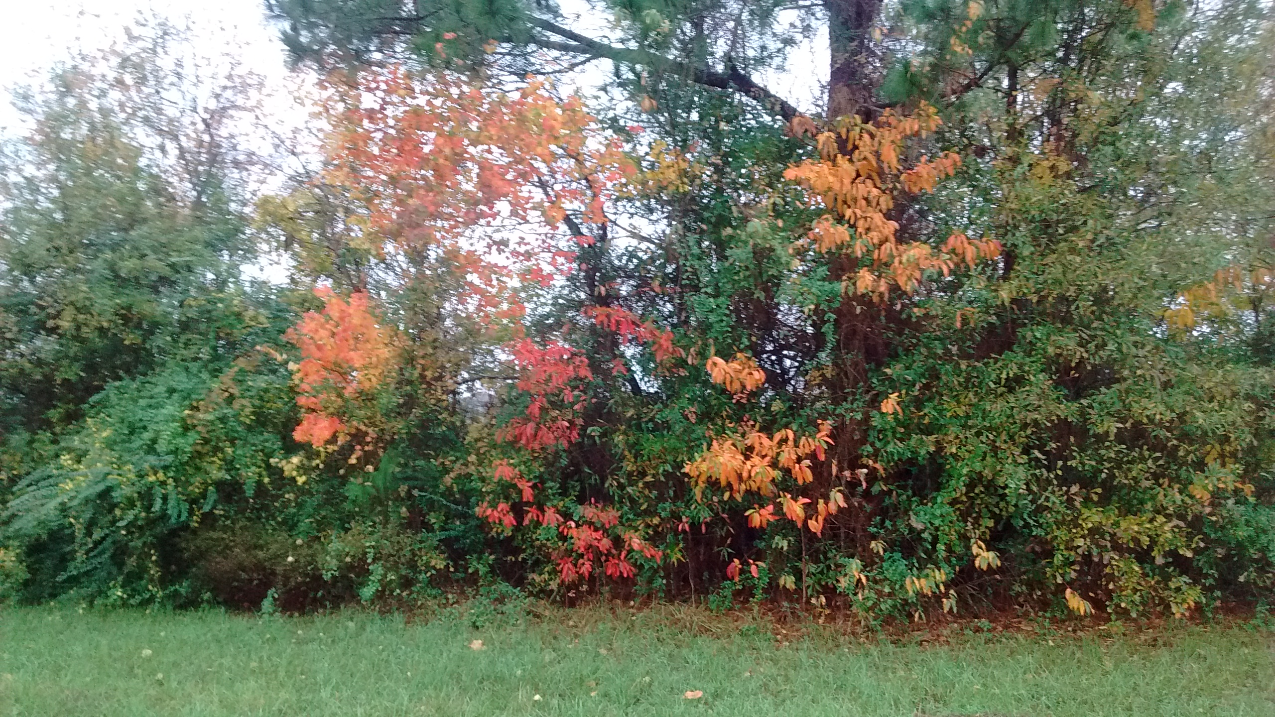
Fall Foliage
Topographic Map of Henderson, TX, USA
Find elevation by address:

Places in Henderson, TX, USA:
FM, Henderson, TX, USA
US-79, Henderson, TX, USA
Co Rd, Henderson, TX, USA
TX-64, Henderson, TX, USA
Places near Henderson, TX, USA:
402 E Main St
Rusk County
2001 W Main St
4857 Fm 225
TX-64, Henderson, TX, USA
6350 Tx-323
6350 Tx-323
6350 Tx-323
FM, Henderson, TX, USA
Price
US-, Overton, TX, USA
New London
S Main St, Overton, TX, USA
Selman City
FM, Laneville, TX, USA
FM, Kilgore, TX, USA
Co Rd, Henderson, TX, USA
Mccann Branch
US-79, Henderson, TX, USA
Overton
Recent Searches:
- Elevation of Corso Fratelli Cairoli, 35, Macerata MC, Italy
- Elevation of Tallevast Rd, Sarasota, FL, USA
- Elevation of 4th St E, Sonoma, CA, USA
- Elevation of Black Hollow Rd, Pennsdale, PA, USA
- Elevation of Oakland Ave, Williamsport, PA, USA
- Elevation of Pedrógão Grande, Portugal
- Elevation of Klee Dr, Martinsburg, WV, USA
- Elevation of Via Roma, Pieranica CR, Italy
- Elevation of Tavkvetili Mountain, Georgia
- Elevation of Hartfords Bluff Cir, Mt Pleasant, SC, USA