Elevation of Co Rd, Loman, MN, USA
Location: United States > Minnesota > Koochiching County >
Longitude: -94.158987
Latitude: 48.471692
Elevation: 353m / 1158feet
Barometric Pressure: 97KPa
Elevation Map:
Satellite Map:
Related Photos:

Sympetrum obtrusum

Boyeria vinosa
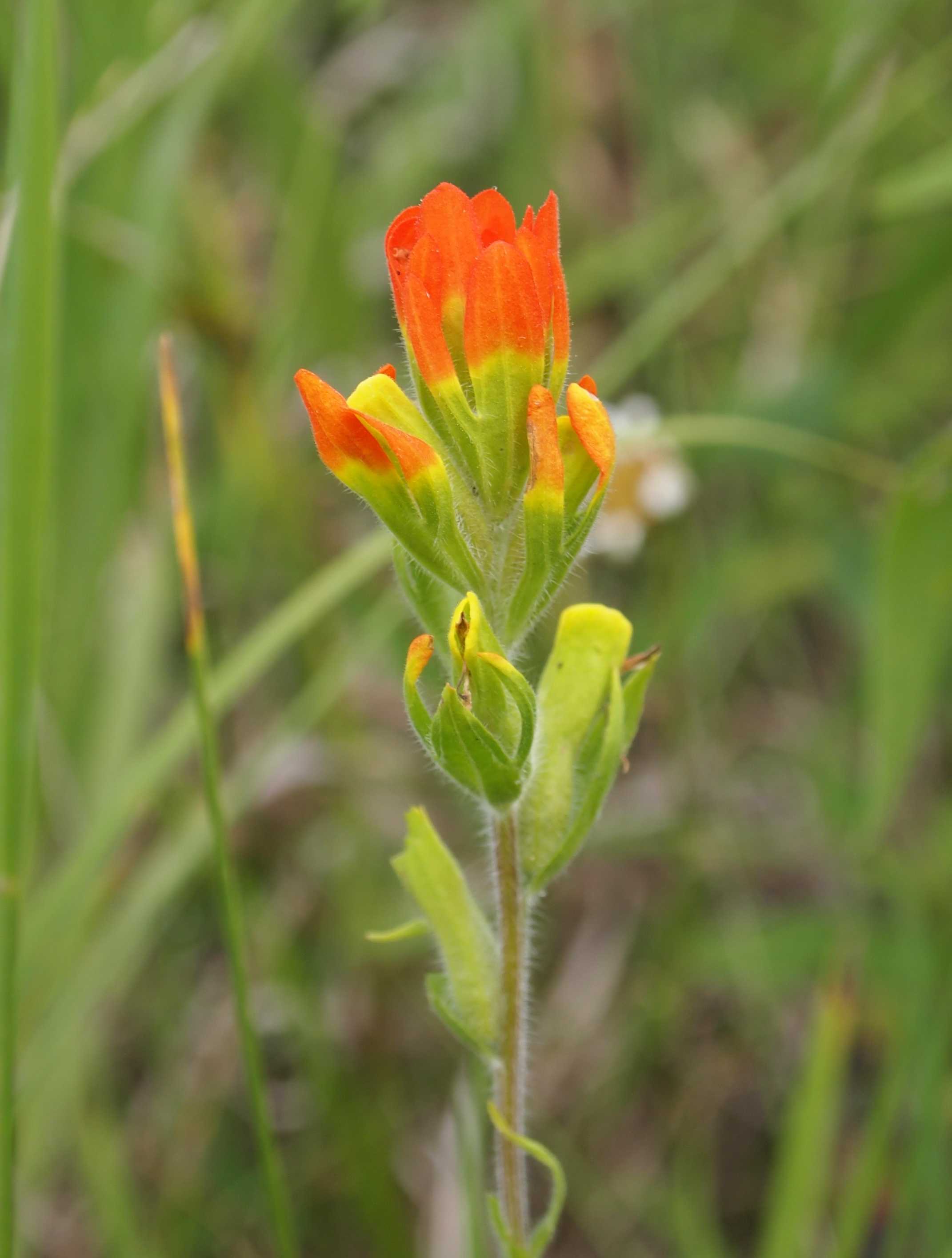
Castilleja coccinea

Cordulegaster obliqua

Cordulegaster obliqua

Black River
Topographic Map of Co Rd, Loman, MN, USA
Find elevation by address:

Places near Co Rd, Loman, MN, USA:
Emo
Fern's Road
Fern's Road
Emo
Deer Rd, Margie, MN, USA
Finland
2nd St NW, Big Falls, MN, USA
Big Falls
Pleasant St, Mizpah, MN, USA
Koochiching County
Littlefork Baptist Church
Littlefork
Main St, Littlefork, MN, USA
Co Rd 27, Northome, MN, USA
Alberton
South Koochiching
Old School Road
Jackson Rd, Wirt, MN, USA
County Road 106
1148 Trans-canada Hwy
Recent Searches:
- Elevation of Royal Ontario Museum, Queens Park, Toronto, ON M5S 2C6, Canada
- Elevation of Groblershoop, South Africa
- Elevation of Power Generation Enterprises | Industrial Diesel Generators, Oak Ave, Canyon Country, CA, USA
- Elevation of Chesaw Rd, Oroville, WA, USA
- Elevation of N, Mt Pleasant, UT, USA
- Elevation of 6 Rue Jules Ferry, Beausoleil, France
- Elevation of Sattva Horizon, 4JC6+G9P, Vinayak Nagar, Kattigenahalli, Bengaluru, Karnataka, India
- Elevation of Great Brook Sports, Gold Star Hwy, Groton, CT, USA
- Elevation of 10 Mountain Laurels Dr, Nashua, NH, USA
- Elevation of 16 Gilboa Ln, Nashua, NH, USA